Elevation of AR-, Doddridge, AR, USA
Location: United States > Arkansas > Miller County > Sulphur Township > Doddridge >
Longitude: -93.986083
Latitude: 33.1127049
Elevation: 110m / 361feet
Barometric Pressure: 100KPa
Elevation Map:
Satellite Map:
Related Photos:

Swamp Reflections

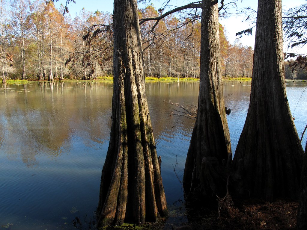
Cypress Knees
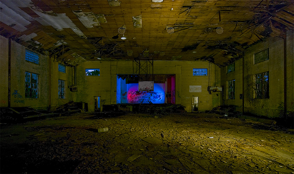
Rodessa School Gym
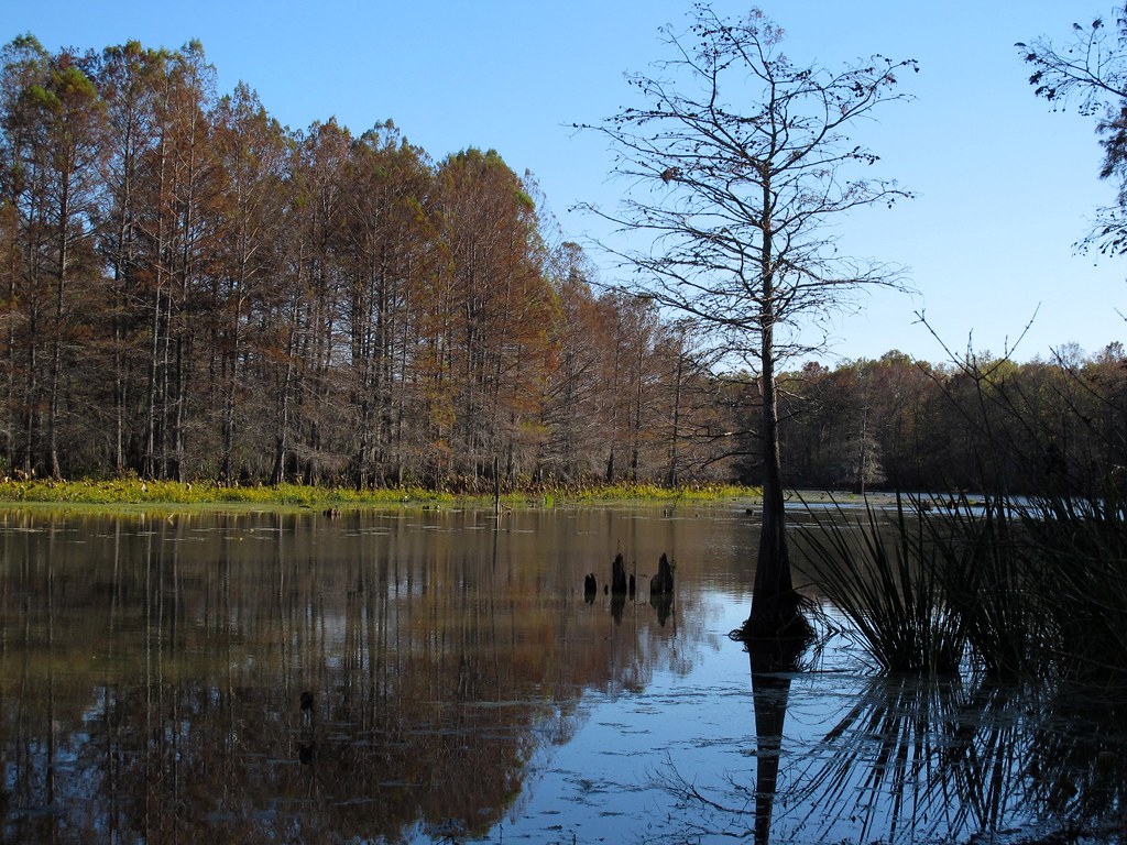
Autumn in Swampland
Down on the Bayou
Light After Death

Fabulous Fungus
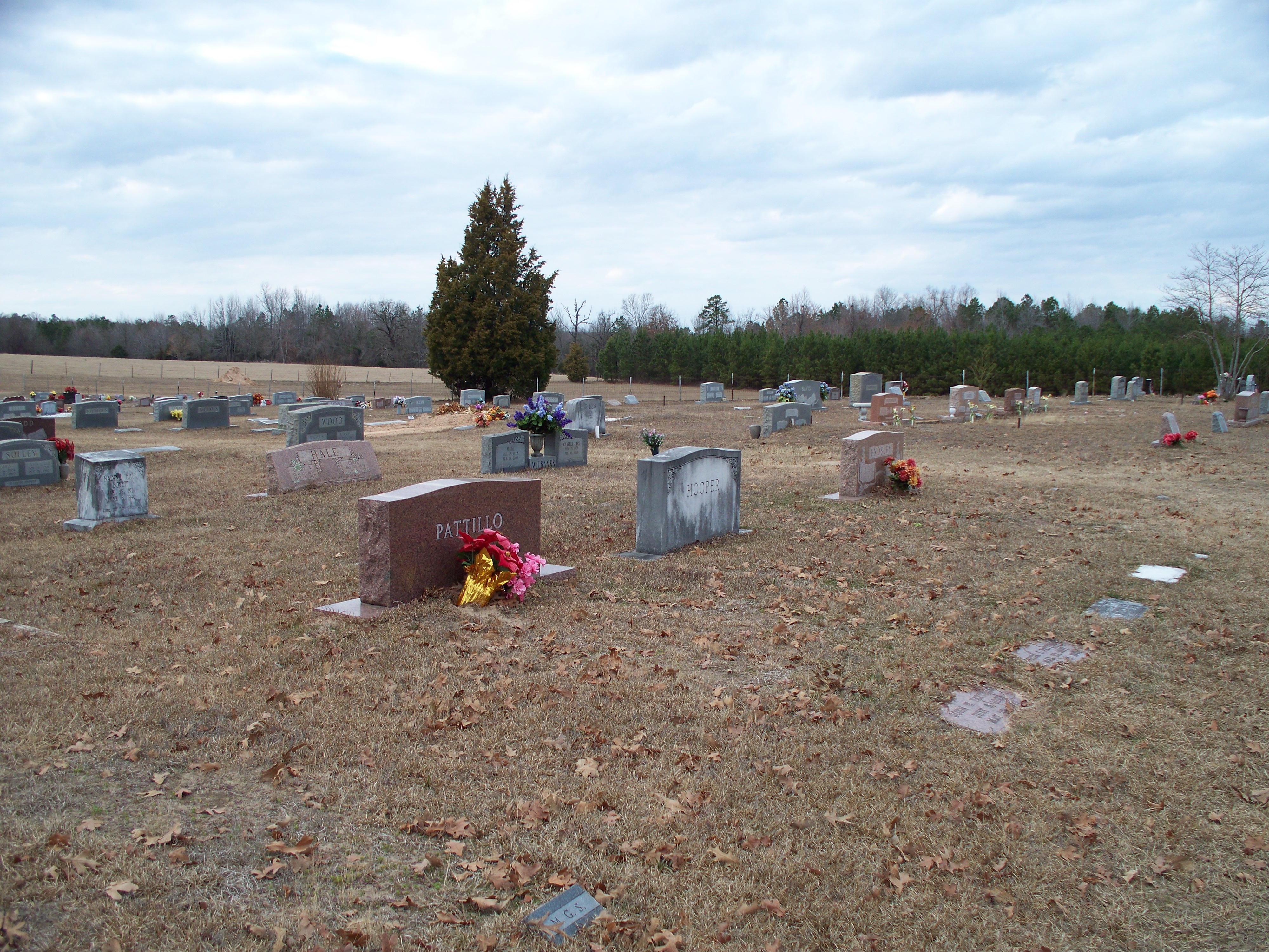
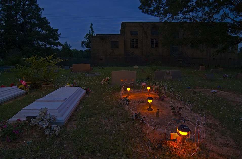
Macedonia Cemetery

Cryptopalooza: Day 3

Frog Level Marker
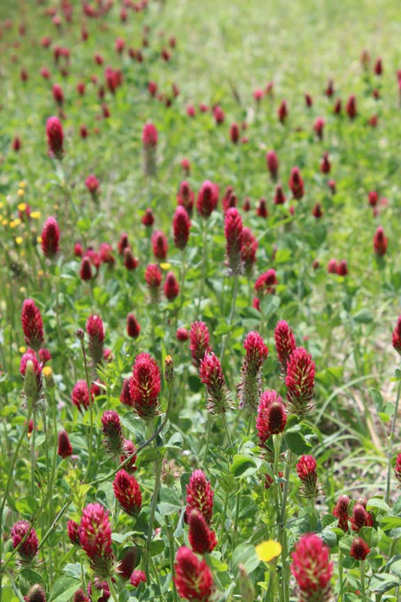
Wildflowers As Far As You Can See

Frog Level Marker

Frog Level Marker

Frog Level Marker

Frog Level Marker

Frog Level Marker

Frog Level Marker

Frog Level Marker
Topographic Map of AR-, Doddridge, AR, USA
Find elevation by address:

Places near AR-, Doddridge, AR, USA:
Sulphur Township
Bloomburg
20 Pennock Ave, Bloomburg, TX, USA
Doddridge
5643 Miller County 2
2255 Co Rd 4794
399 Co Rd 4796
399 Co Rd 4796
399 Co Rd 4796
399 Co Rd 4796
US-71, Bradley, AR, USA
LA-1, Rodessa, LA, USA
US-71, Bradley, AR, USA
Ida
Beech Township
17475 Young Rd
Houston St, Queen City, TX, USA
Queen City
Atlanta
Fouke
Recent Searches:
- Elevation of Vista Blvd, Sparks, NV, USA
- Elevation of 15th Ave SE, St. Petersburg, FL, USA
- Elevation of Beall Road, Beall Rd, Florida, USA
- Elevation of Leguwa, Nepal
- Elevation of County Rd, Enterprise, AL, USA
- Elevation of Kolchuginsky District, Vladimir Oblast, Russia
- Elevation of Shustino, Vladimir Oblast, Russia
- Elevation of Lampiasi St, Sarasota, FL, USA
- Elevation of Elwyn Dr, Roanoke Rapids, NC, USA
- Elevation of Congressional Dr, Stevensville, MD, USA