Elevation of AR-54, Pine Bluff, AR, USA
Location: United States > Arkansas > Jefferson County > Talladega Township >
Longitude: -92.103123
Latitude: 34.103834
Elevation: 76m / 249feet
Barometric Pressure: 100KPa
Elevation Map:
Satellite Map:
Related Photos:
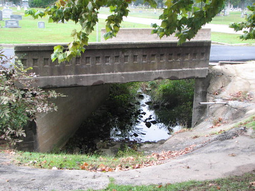
Hazel St Bridge-Side View

Bartholomew Reflections
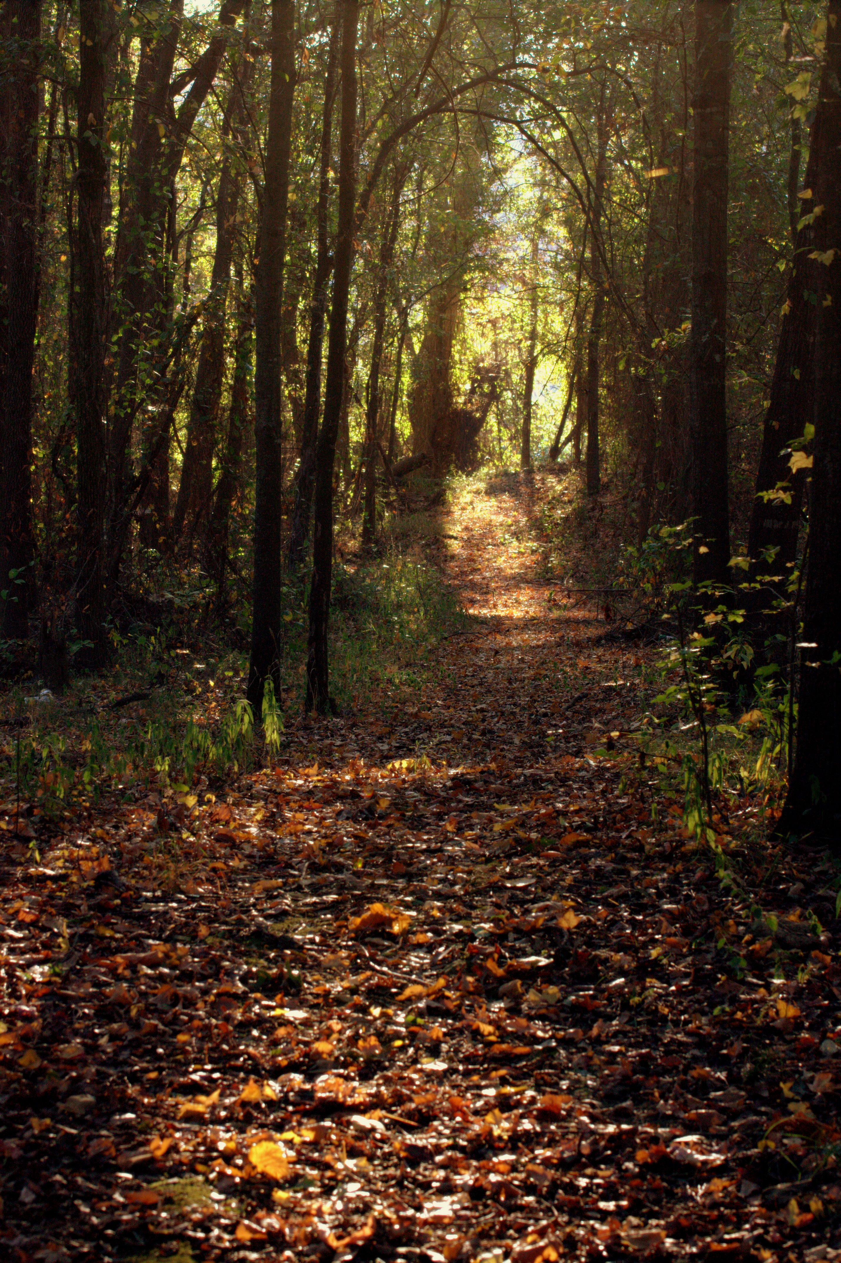
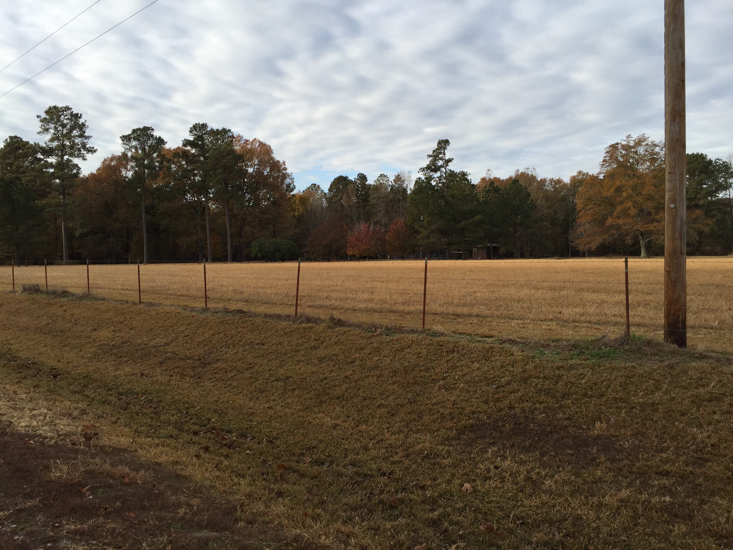
Follow The Path

Golden Awaking
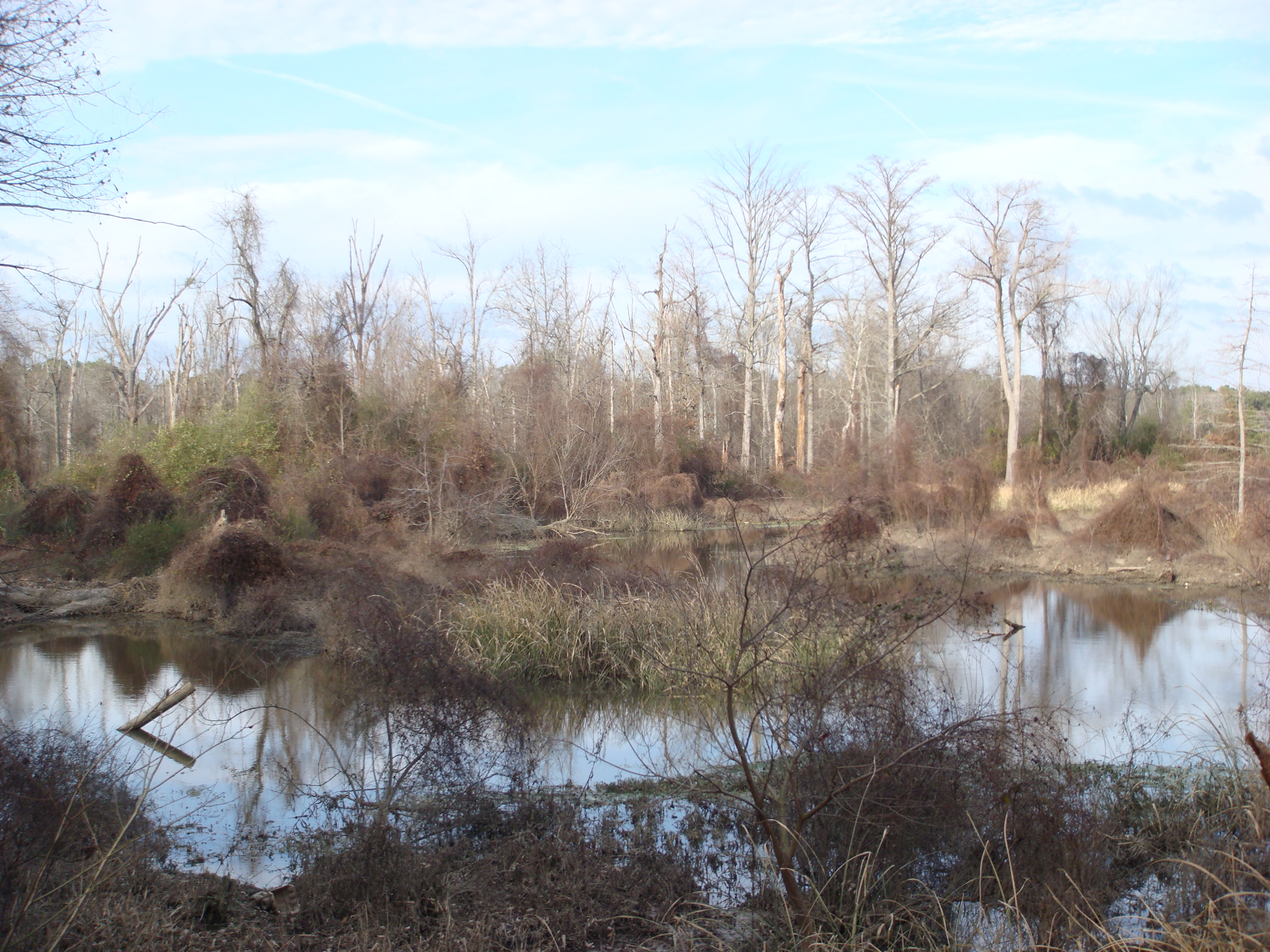
The Bayou
Untitled 100
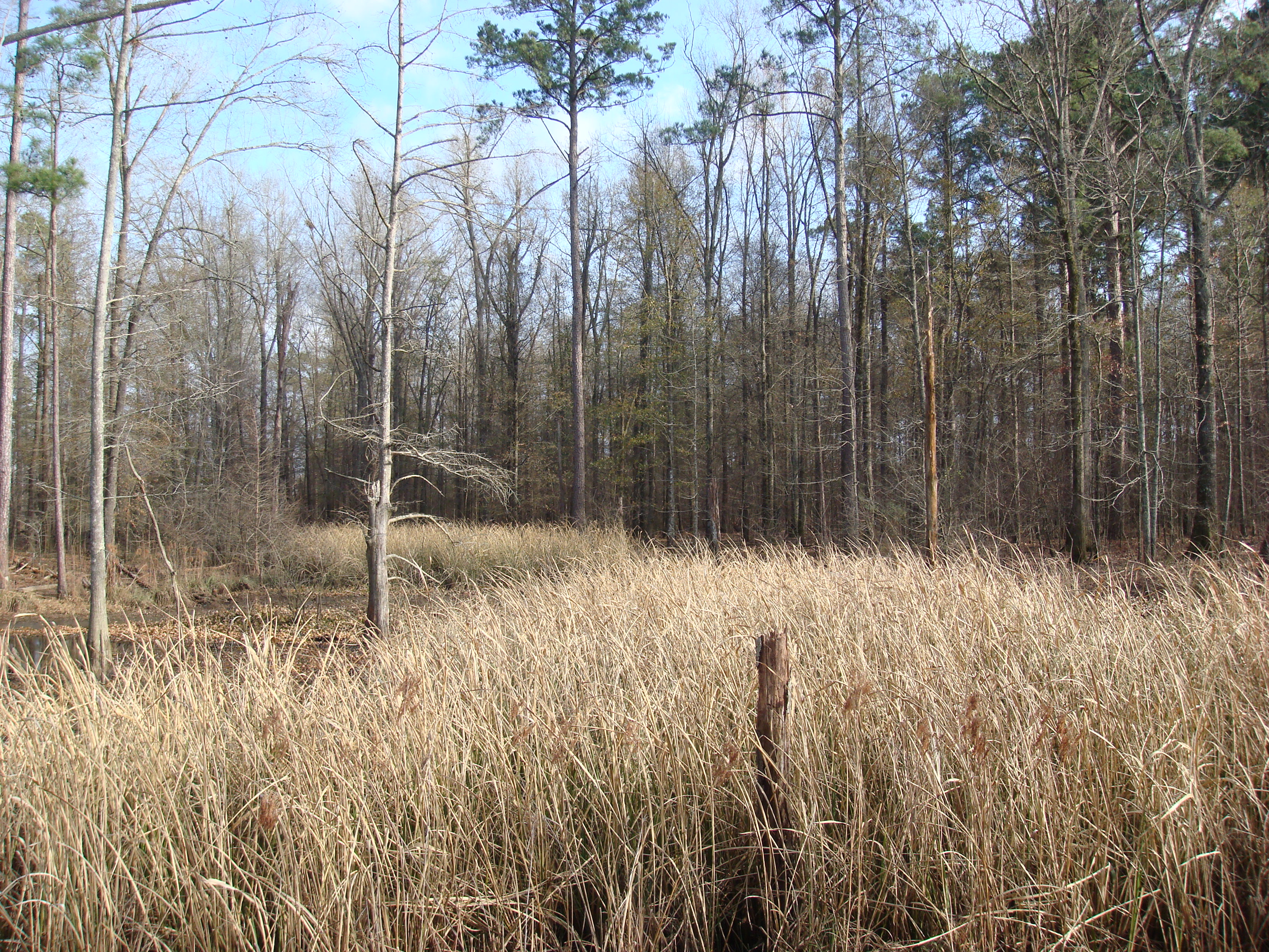
grass in the Bayou
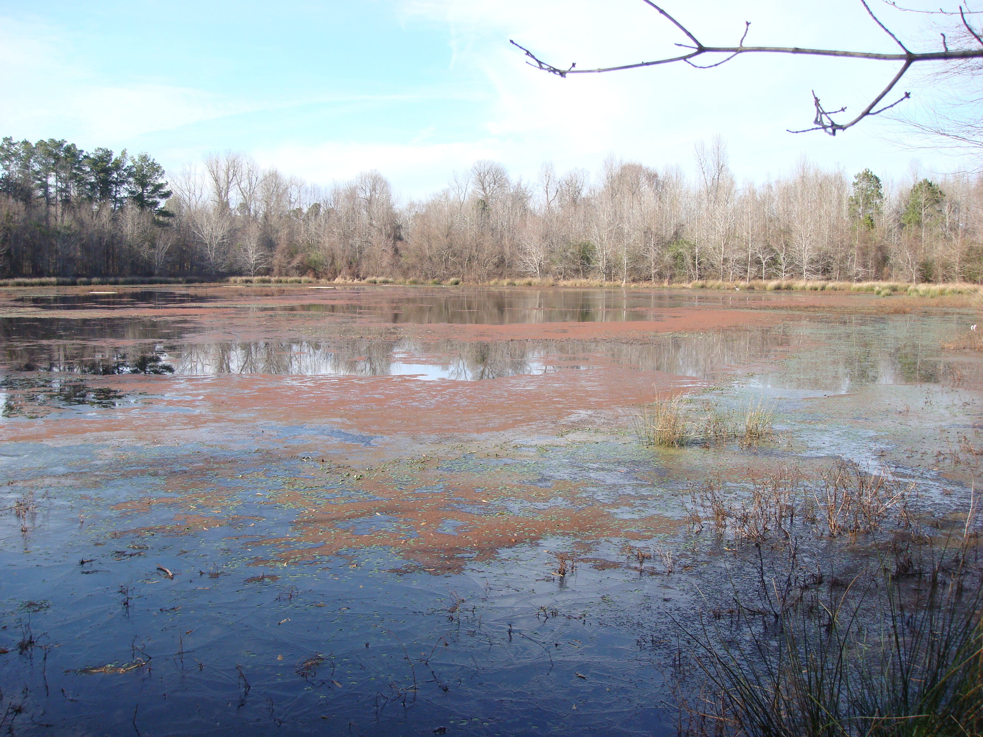
A Little pond
All Photos-87
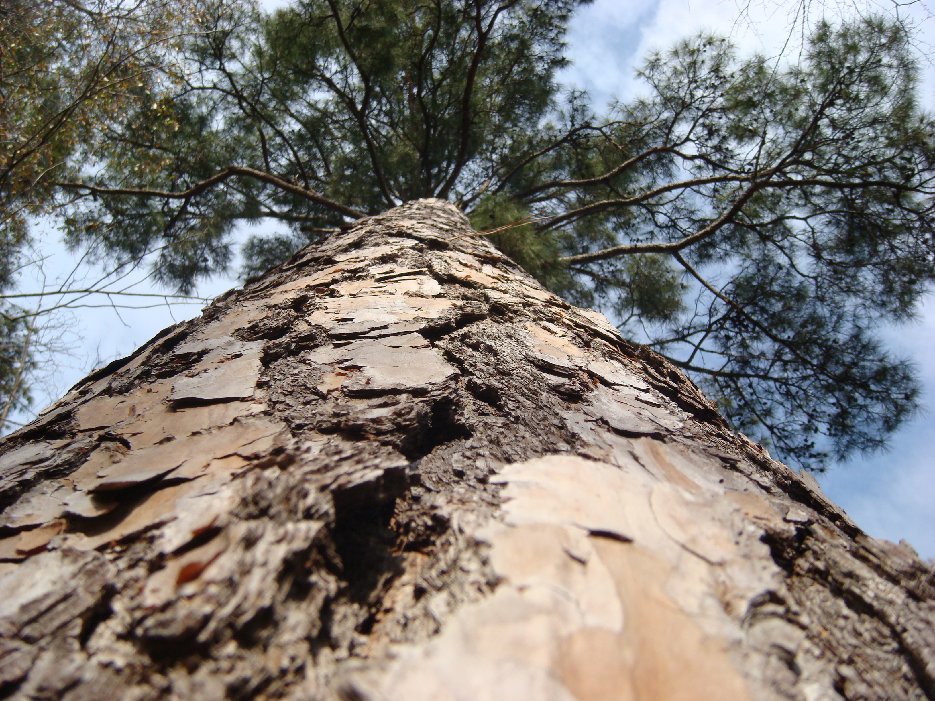
Cool angle of a Big Pine tree
Topographic Map of AR-54, Pine Bluff, AR, USA
Find elevation by address:

Places near AR-54, Pine Bluff, AR, USA:
Niven Township
Sorrells Rd, Pine Bluff, AR, USA
Mayfield Drive
6501 S Hazel St
2914 S Catalpa St
5000 Us-63 Bus
5000 Us-63 Bus
4800 Us-63 Bus
Super 1 Foods
4500 S Olive St
W 7th Ave, Pine Bluff, AR, USA
4100 Us-63 Bus
3900 S Olive St
3000 S Olive St
Vaugine Township
2800 S Ohio St
N Norman St, Pine Bluff, AR, USA
Martha Mitchell Expressway
8000 Sheridan Rd
Pine Bluff Convention Center
Recent Searches:
- Elevation of Općina Šodolovci, Croatia
- Elevation of Šodolovci, Croatia
- Elevation of Old Clairton Rd, Jefferson Hills, PA, USA
- Elevation of st Ave SE, Lisbon, ND, USA
- Elevation of Steamboat Island Road Northwest, Olympia, WA, USA
- Elevation of Kootenai Trail Rd, Bonners Ferry, ID, USA
- Elevation of Hickory Blvd, Bonita Springs, FL, USA
- Elevation of Lalagbene, Bayelsa, Nigeria
- Elevation of Ogbosuware Health Centre, 2WWJ+4PJ, Lalagbene, Bayelsa, Nigeria
- Elevation of Duckhorn Ct, Las Vegas, NV, USA