Elevation of AR-44, Tichnor, AR, USA
Location: United States > Arkansas > Arkansas County > Chester Township > Tichnor >
Longitude: -91.182389
Latitude: 34.1467699
Elevation: 56m / 184feet
Barometric Pressure: 101KPa
Elevation Map:
Satellite Map:
Related Photos:

Hidin' in a bowl of rice
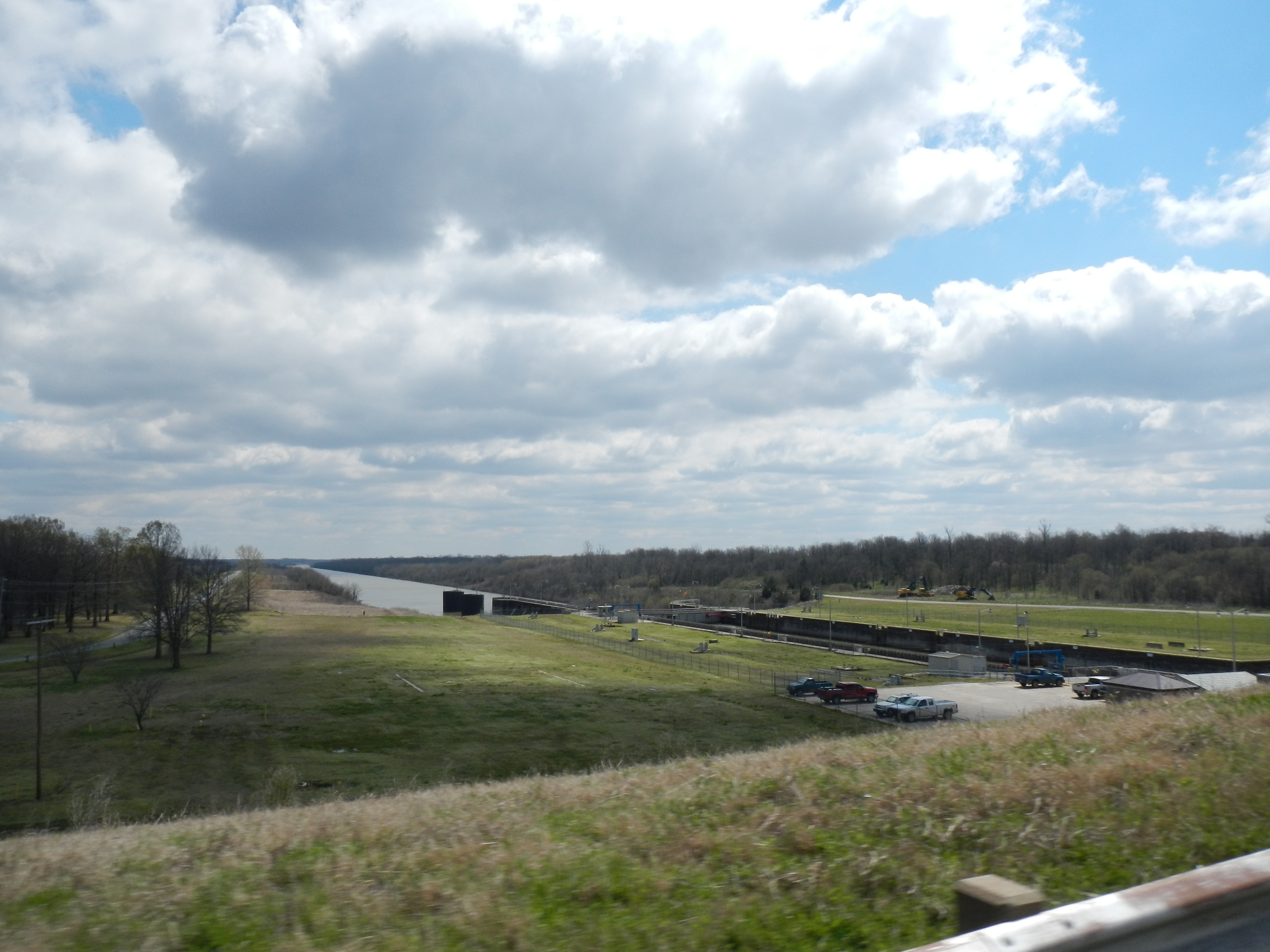
Arkansas River
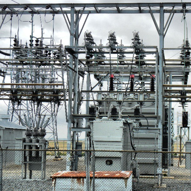
#EOT #gillette #substation #50Kv 50,000 volts wires buzzing touch it & your DOA
Topographic Map of AR-44, Tichnor, AR, USA
Find elevation by address:

Places near AR-44, Tichnor, AR, USA:
Jacks Bay Rd, Tichnor, AR, USA
Shepherd Point Ln, DeWitt, AR, USA
State Hwy 17, DeWitt, AR, USA
Tichnor
State Hwy 17, DeWitt, AR, USA
Prairie Township
Chester Township
Point Deluce Township
Arkansas County
State Hwy 17, Ethel, AR, USA
Ethel
AR-, DeWitt, AR, USA
Gillett
W Main, Gillett, AR, USA
La Grue Township
Stanley Township
1623b
Dewitt
Montgomery Point Lock & Dam (lock 99)
7th St, St Charles, AR, USA
Recent Searches:
- Elevation of Zimmer Trail, Pennsylvania, USA
- Elevation of 87 Kilmartin Ave, Bristol, CT, USA
- Elevation of Honghe National Nature Reserve, QP95+PJP, Tongjiang, Heilongjiang, Jiamusi, Heilongjiang, China
- Elevation of Hercules Dr, Colorado Springs, CO, USA
- Elevation of Szlak pieszy czarny, Poland
- Elevation of Griffing Blvd, Biscayne Park, FL, USA
- Elevation of Kreuzburger Weg 13, Düsseldorf, Germany
- Elevation of Gateway Blvd SE, Canton, OH, USA
- Elevation of East W.T. Harris Boulevard, E W.T. Harris Blvd, Charlotte, NC, USA
- Elevation of West Sugar Creek, Charlotte, NC, USA