Elevation of Apple Grove Ln, Clark Fork, ID, USA
Location: United States > Idaho > Bonner County > Clark Fork >
Longitude: -116.21330
Latitude: 48.1431914
Elevation: 631m / 2070feet
Barometric Pressure: 94KPa
Elevation Map:
Satellite Map:
Related Photos:
The Monarch Mountains from Clarks Fork

Another view a few nights ago from the #vacasa #lakependoreille #mountains #clouds

Good morning! I can't wait until this is my daily view. #sandpointID #lakependoreille #clouds #rain #mountains

Climb the mountains . . .

Each moment of the year has its own beauty,

More Warbonnets

Lake View

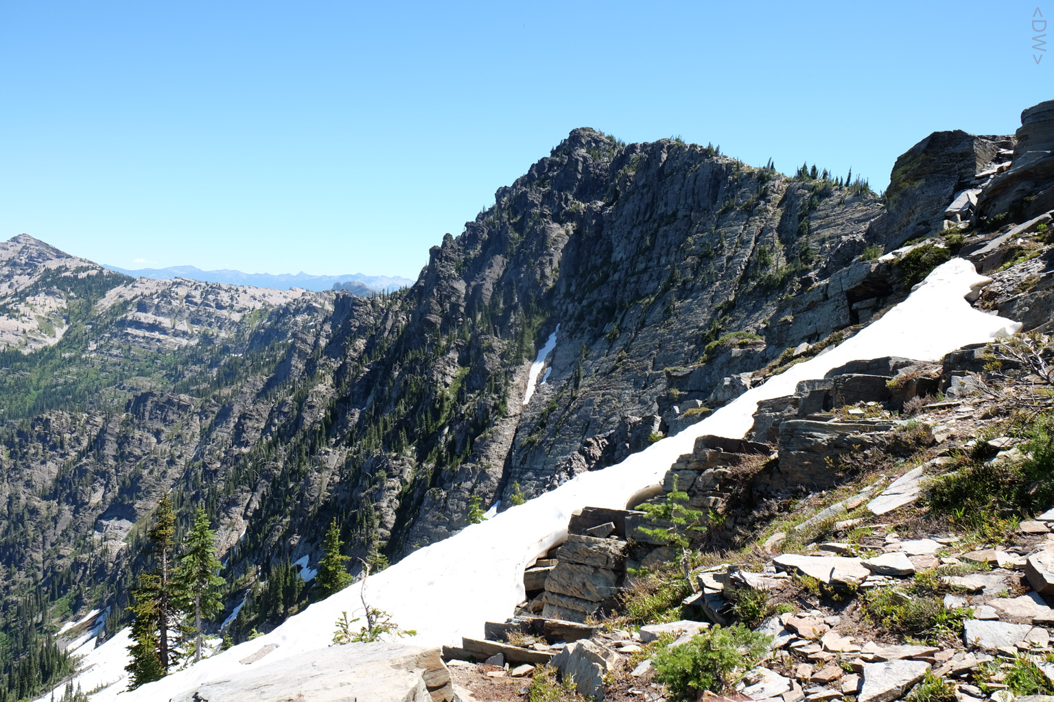
Scotchman Peak

Storm on the way

DSCF5347.jpg
DSCF5350.jpg

DSCF5320.jpg

DSCF5294.jpg

Winter Work Train

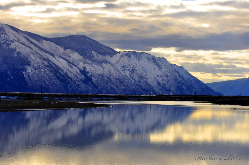
The Green Monarchs from Hope

Mineral Point Trail, Lake Pend Oreille, Idaho

Mineral Point Trail, Lake Pend Oreille, Idaho

Cabinet Gorge Dam

Cabinet Gorge Dam

Clark Fork Crossing

Crossing the Clark Fork in Clark Fork

Islands of Lake Pend Oreille Sunset

D7H_2595.jpg

Warbonnets West
Twilight at Lake Pend Oreille - Hope, ID

Cabinet Gorge Hydroelectric Development- Bonner County ID (1)

Lake Pend Oreille 1

Old cars

Green Bay, Lake Pend Oreille, Idaho

The Peak

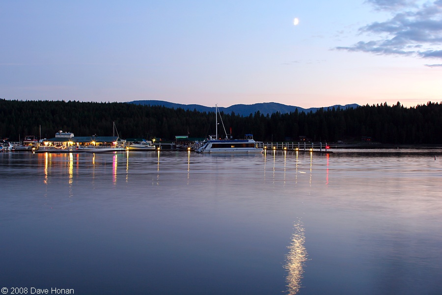
Hope Boat Docks

BNSF 4925 East
Topographic Map of Apple Grove Ln, Clark Fork, ID, USA
Find elevation by address:

Places near Apple Grove Ln, Clark Fork, ID, USA:
Clark Fork
E 4th Ave, Clark Fork, ID, USA
628 Mountain View Rd
Denton Rd, Hope, ID, USA
Cedar Hollow Lane
5 Bear Claw Rd
Hope
Ridgewood Ave, Hope, ID, USA
260 Ridgewood Ave
791 Martin Bay Rd
130 Meyaka Way
1032 Trestle Creek Rd
126 Creekside Ln
150 Elk Meadow Ln
Gold Coin Lane
124 Elk Meadow Ln
174 Delta View Rd
120 Deer Ridge Rd
Providence Lake Loop, Sagle, ID, USA
685 W Garfield Bay Rd
Recent Searches:
- Elevation of 72-31 Metropolitan Ave, Middle Village, NY, USA
- Elevation of 76 Metropolitan Ave, Brooklyn, NY, USA
- Elevation of Alisal Rd, Solvang, CA, USA
- Elevation of Vista Blvd, Sparks, NV, USA
- Elevation of 15th Ave SE, St. Petersburg, FL, USA
- Elevation of Beall Road, Beall Rd, Florida, USA
- Elevation of Leguwa, Nepal
- Elevation of County Rd, Enterprise, AL, USA
- Elevation of Kolchuginsky District, Vladimir Oblast, Russia
- Elevation of Shustino, Vladimir Oblast, Russia