Elevation of Apiary Rd, Rainier, OR, USA
Location: United States > Oregon > Columbia County > Rainier >
Longitude: -123.05928
Latitude: 45.9331493
Elevation: 376m / 1234feet
Barometric Pressure: 97KPa
Elevation Map:
Satellite Map:
Related Photos:
The White Cauldron
Vernonia Lake
Orion over Ruins

12-20-06 031

03-22-07 048
The Vernonia shay (front view)
Maybe a View Sometimes, Eastbound (2014)

Vernonia Lake with reflections
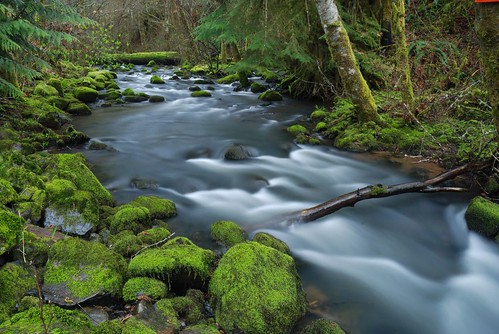
Coon creek
03-24-07 021

Coon creek
12-17-06 375
The Sunshine

Little Jewel

Caleb on shantae
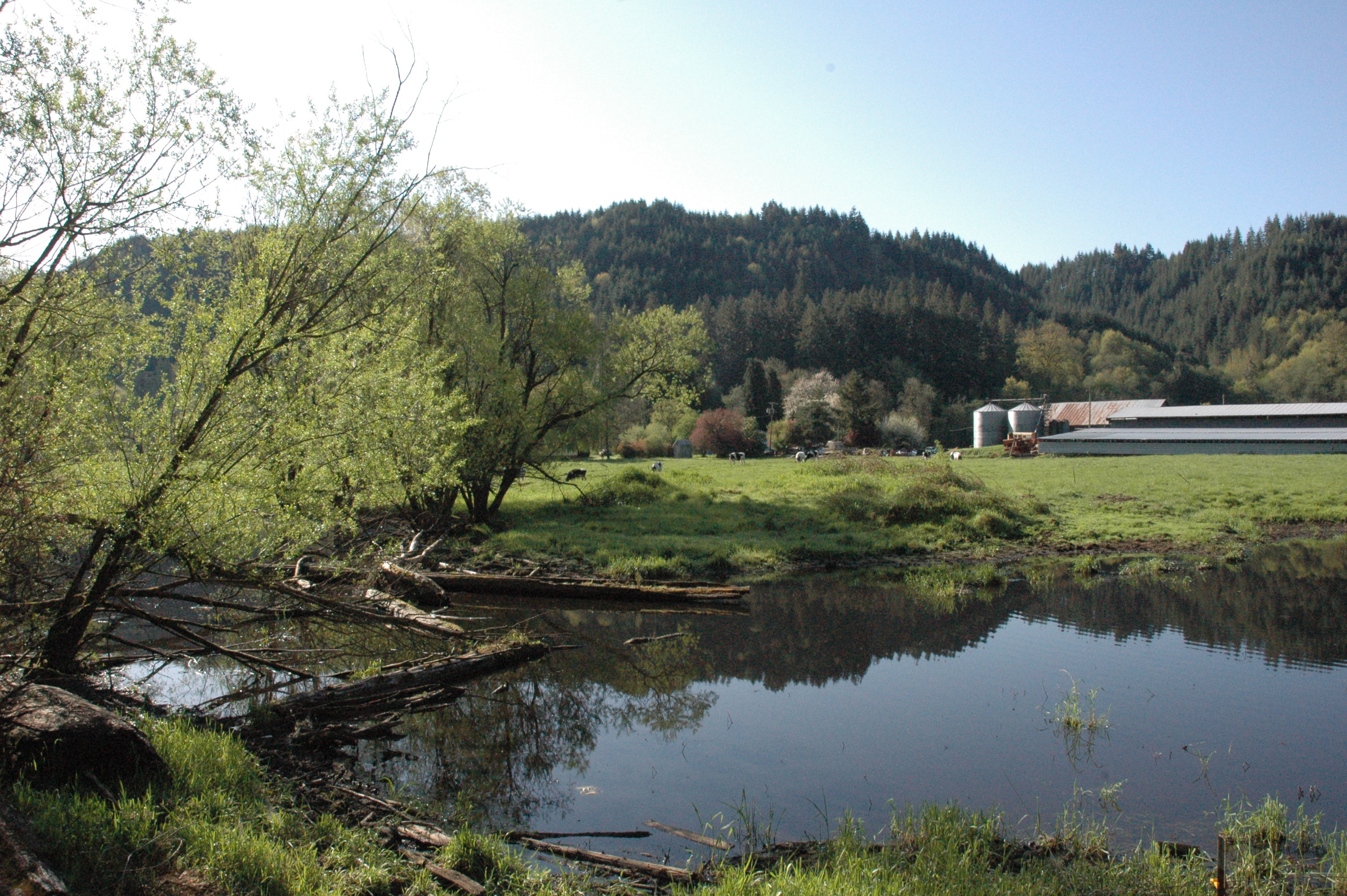
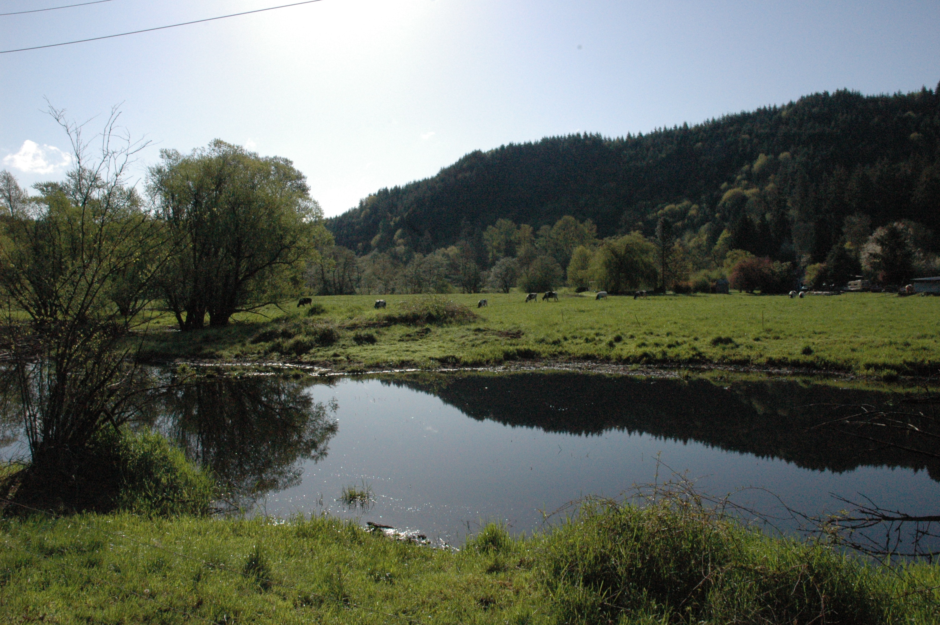
Dairy Farm
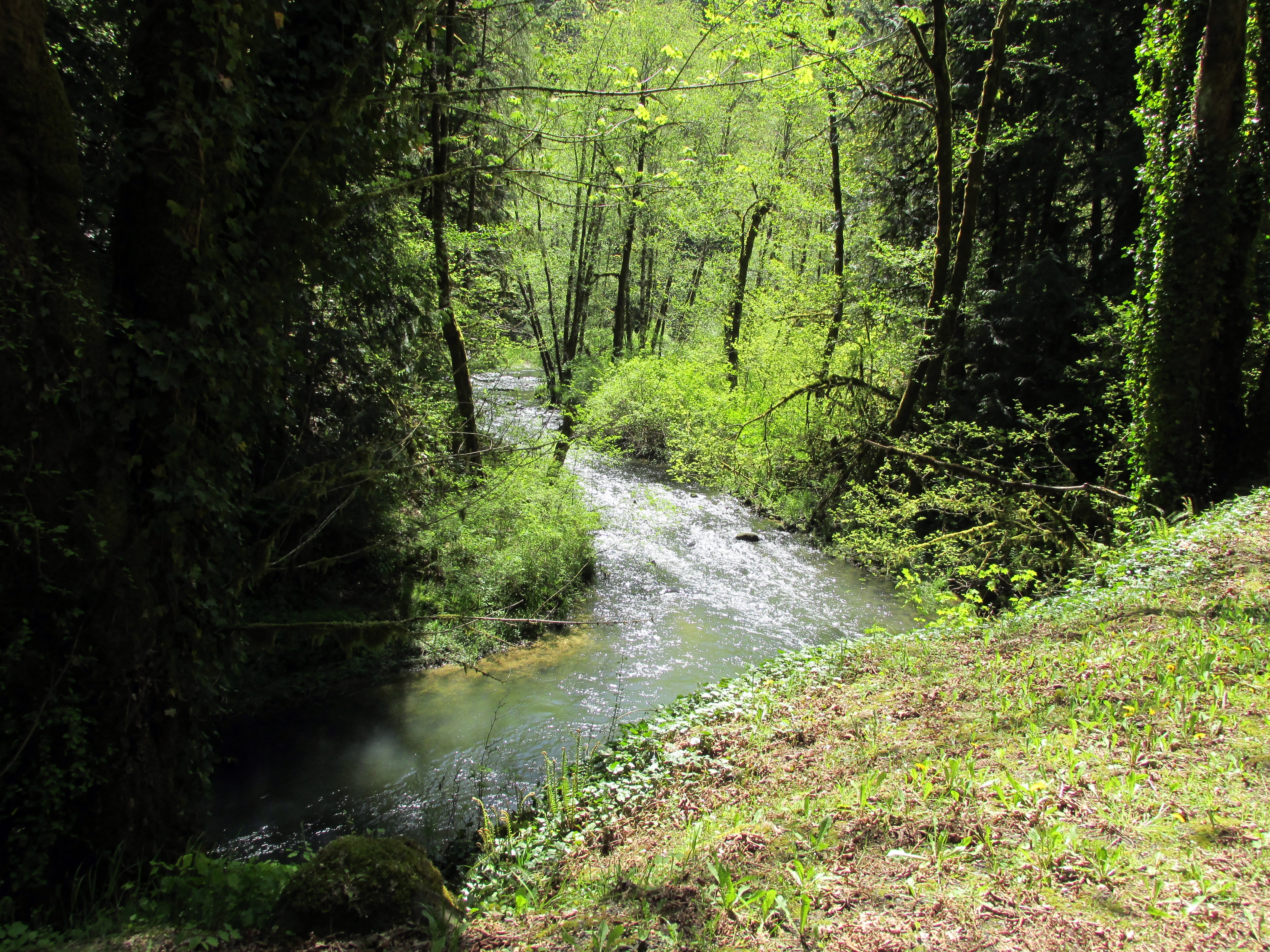
Scappoose Creek
Trail split

Crown-Zellerbach Trail and Scappoose Creek.
12-17-06 403
On the Nehalem divide; the Columbia watershed is to my left, the Nehalem watershed is to my right

A deer walked by (Nehalem River)
More snow on the ground on the west side of the Nehalem divide

Dark Horizons
03-24-07 015
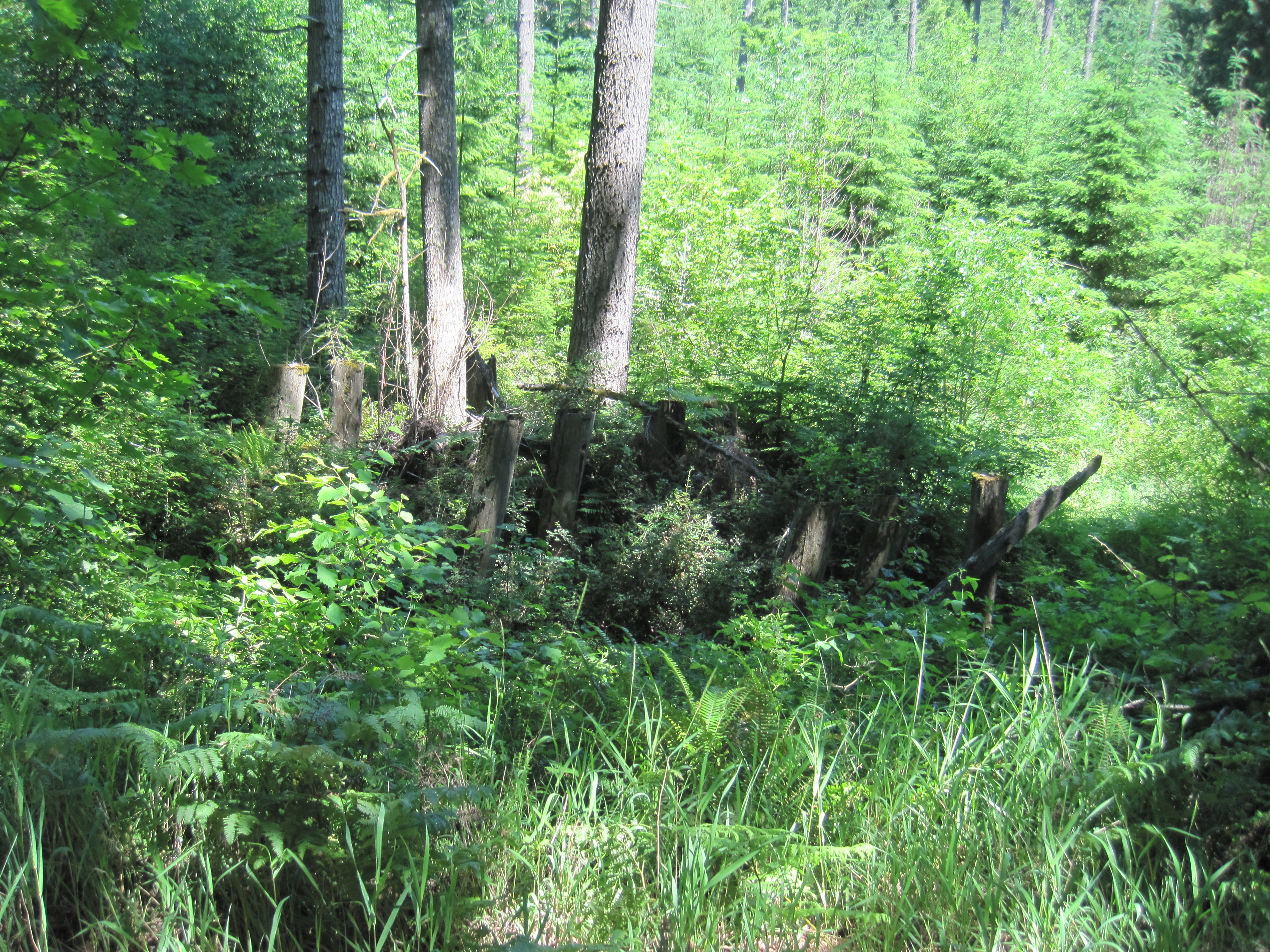
The remains of a logging railroad trestle near Big Eddy park
03-24-07 004
Topographic Map of Apiary Rd, Rainier, OR, USA
Find elevation by address:

Places near Apiary Rd, Rainier, OR, USA:
Columbia County
67834 Carl Rd
25880 Forest View Dr
30180 Carrico Valley Rd
Carrico Valley Road
27656 Gibbs Rd
29543 Barker Rd
1567 Heather Ln
30990 Canaan Rd
1462 E Alder St
1426 E Alder St
Chapman Rd, Scappoose, OR, USA
1164 E Douglas St
56691 Melonie Ln
635 Lakeview Dr
1282 Louisiana Ave
68519 Barton Rd
208 North St
57497 Alder Creek Rd
Dowd Road
Recent Searches:
- Elevation of Hercules Dr, Colorado Springs, CO, USA
- Elevation of Szlak pieszy czarny, Poland
- Elevation of Griffing Blvd, Biscayne Park, FL, USA
- Elevation of Kreuzburger Weg 13, Düsseldorf, Germany
- Elevation of Gateway Blvd SE, Canton, OH, USA
- Elevation of East W.T. Harris Boulevard, E W.T. Harris Blvd, Charlotte, NC, USA
- Elevation of West Sugar Creek, Charlotte, NC, USA
- Elevation of Wayland, NY, USA
- Elevation of Steadfast Ct, Daphne, AL, USA
- Elevation of Lagasgasan, X+CQH, Tiaong, Quezon, Philippines