Elevation of Anza, CA, USA
Location: United States > California > Riverside County > Anza >
Longitude: -116.63175
Latitude: 33.5257713
Elevation: 1244m / 4081feet
Barometric Pressure: 87KPa
Elevation Map:
Satellite Map:
Related Photos:

San Jacinto from Santa Rosa Mtn SW Spur Military Crest

Santa Rosa Mountain SW Spur, North Panorama

Buzz the Bloom

Santa Rosa Mountain SW Spur, SW Panorama

Santa Rosa Mountain SW Spur N Panorama

0997 View south into Coyote Canyon from the PCT near mile 142 in the Anza-Borrego Desert

1090 View southwest over the Terwilliger Valley from the PCT near mile 145

0981 Panorama view south and west from the PCT near mile 141 in the Anza-Borrego Desert

1077 View west over the Terwilliger Valley from the PCT near mile 145

0980 View south from the PCT near mile 141 toward Borrego Springs (in the haze)

0955 Nice looking campsite with a view above WRCS140 and Nance Canyon on the PCT

View to the north

View to the north

WR137 Tule Creek (early season)

Santa Rosa Vista

San Diego View from Santa Rosa Mountain SW Spur, Military Crest

Mountain Meadow

Mt. Woodson & Black Mountain (Poway) view from Santa Rosa Mountain, SW Spur, Military Crest

0175 PCT north of Route 74 - panorama view south toward Toro Peak

Screaming Yellow

View south from Combs Peak

Pacific Crest Trail at about 5100 ft elev

Pacific Crest Trail

National Public Lands Day- Palm Springs, CA

0817 Cholla cactus along the PCT in the Anza-Borrego Desert near mile 138

Mountain Center. San Jacinto Mountains. California. April/2018

Pines to Palms Scenic Byway, Near Idyllwild, California
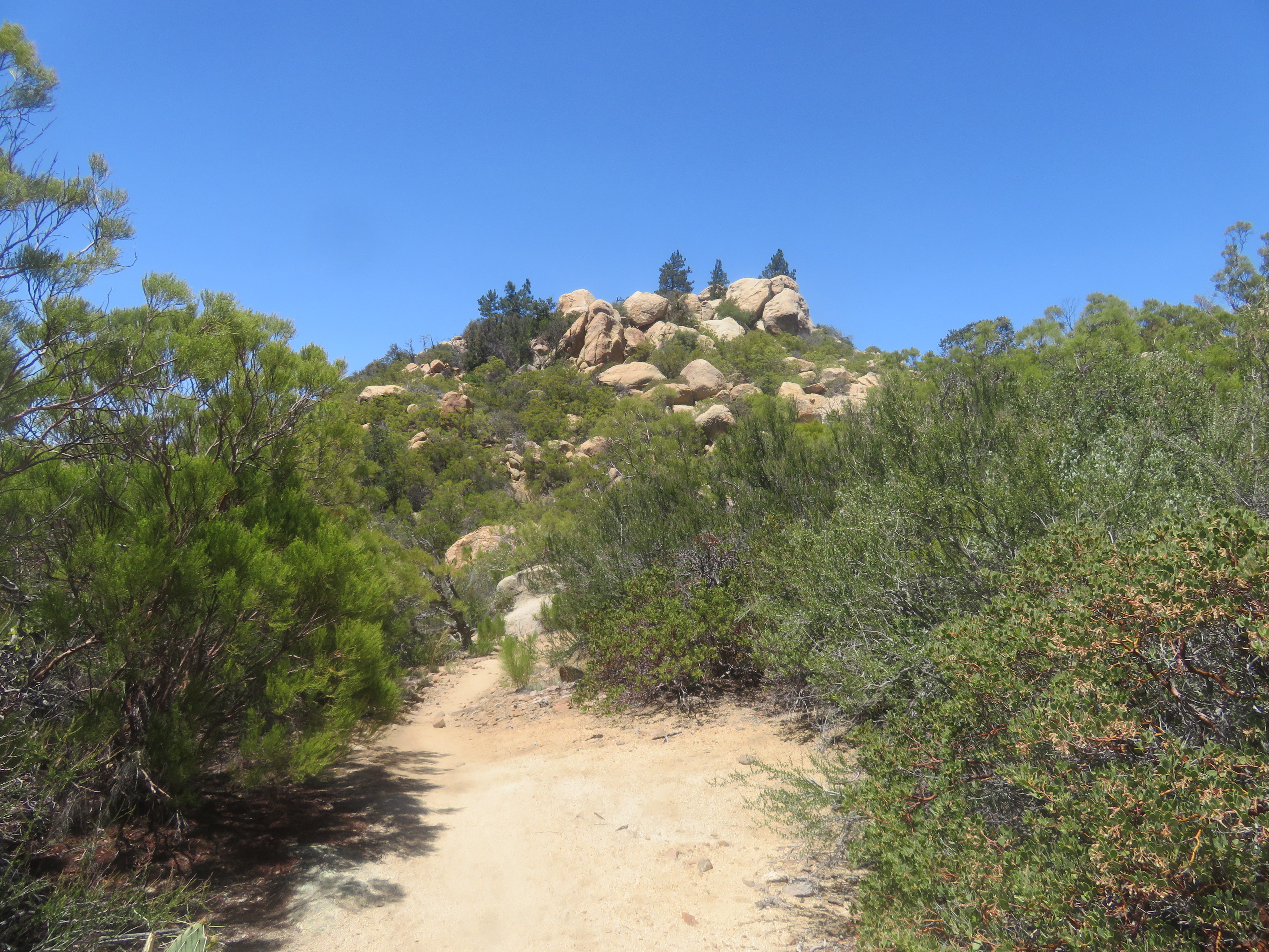
PCT,rocks & pines.

Towards another day

Air Tanker 912 making a Drop on the Anza Fire

Making the Drop

Jasmine's piece of the rock.

Beyond The Barbed Wire Fence

Forbidden Open Space

Sunset, Cahuilla Mountain
Topographic Map of Anza, CA, USA
Find elevation by address:

Places near Anza, CA, USA:
Anza
37325 Bohlen Rd
Pathfinder Ranch
59301 Courtesy Dr
CA-74, Mountain Center, CA, USA
37762 Stamnes Rd
31234 Chihuahua Valley Rd
Chihuahua Valley
29966 Chihuahua Valley Rd
30303 Chihuahua Valley Rd
Chihuahua Valley Road
29352 Chihuahua Valley Rd
Schoepe Scout Reservation At Lost Valley
Buck Drive
69726 Indio Ave
Toro Peak
26800 Saunders Meadow Rd
CA-74, Mountain Center, CA, USA
54401 Tahquitz View Dr
55055 Strong Dr
Recent Searches:
- Elevation of Lampiasi St, Sarasota, FL, USA
- Elevation of Elwyn Dr, Roanoke Rapids, NC, USA
- Elevation of Congressional Dr, Stevensville, MD, USA
- Elevation of Bellview Rd, McLean, VA, USA
- Elevation of Stage Island Rd, Chatham, MA, USA
- Elevation of Shibuya Scramble Crossing, 21 Udagawacho, Shibuya City, Tokyo -, Japan
- Elevation of Jadagoniai, Kaunas District Municipality, Lithuania
- Elevation of Pagonija rock, Kranto 7-oji g. 8"N, Kaunas, Lithuania
- Elevation of Co Rd 87, Jamestown, CO, USA
- Elevation of Tenjo, Cundinamarca, Colombia