Elevation map of Anuppur, Madhya Pradesh, India
Location: India > Madhya Pradesh >
Longitude: 81.7787021
Latitude: 23.0729222
Elevation: 495m / 1624feet
Barometric Pressure: 96KPa
Elevation Map:
Satellite Map:
Related Photos:
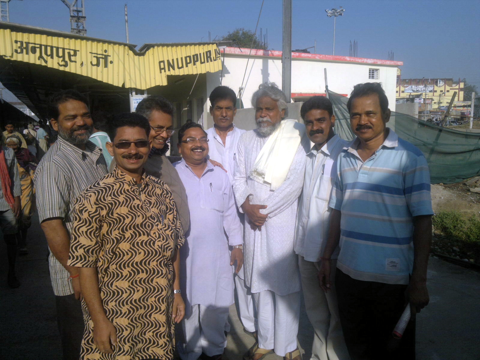
Sri RN Pani with followers from Chirmiri in Anuppur station
Topographic Map of Anuppur, Madhya Pradesh, India
Find elevation by address:

Places in Anuppur, Madhya Pradesh, India:
Places near Anuppur, Madhya Pradesh, India:
Amarkantak
Hasdeo River
Achanakmar Wildlife Sanctuary
Koriya
Baikunthpur
Patna
Hasdeo Bango Dam
Lalpur
Korba
Krishnapur Alias Kaluwa
Ghatbarra
Jamdi
Surajpur
Bhaiyathan Road
Surajpur
Recent Searches:
- Elevation of Beall Road, Beall Rd, Florida, USA
- Elevation of Leguwa, Nepal
- Elevation of County Rd, Enterprise, AL, USA
- Elevation of Kolchuginsky District, Vladimir Oblast, Russia
- Elevation of Shustino, Vladimir Oblast, Russia
- Elevation of Lampiasi St, Sarasota, FL, USA
- Elevation of Elwyn Dr, Roanoke Rapids, NC, USA
- Elevation of Congressional Dr, Stevensville, MD, USA
- Elevation of Bellview Rd, McLean, VA, USA
- Elevation of Stage Island Rd, Chatham, MA, USA