Elevation of Anugadewadi, Maharashtra, India
Location: India > Maharashtra > Sangli >
Longitude: 74.4553241
Latitude: 17.0342246
Elevation: 554m / 1818feet
Barometric Pressure: 95KPa
Elevation Map:
Satellite Map:
Related Photos:
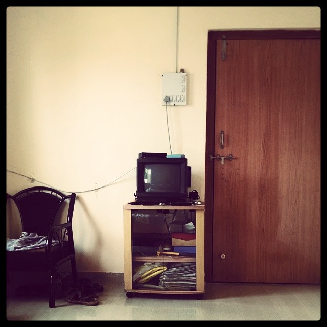
OL_D TV ; )

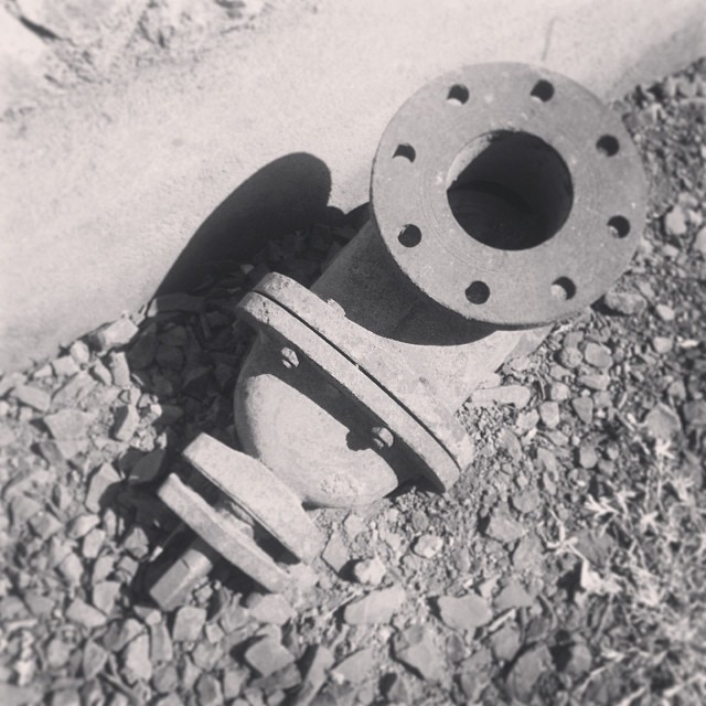
Int#rusting
Seen better days

The #door that was #lock ed

Setting #sun

The #traction #unit

The #traction #unit

#setting #sun #sunset in the #farms

Unusual Edit

An Evening
Topographic Map of Anugadewadi, Maharashtra, India
Find elevation by address:

Places near Anugadewadi, Maharashtra, India:
Nagthane
Malwadi
Bhilawadi Sangli Road
Yelavi
Bhilawadi
Julewadi
Shirgaon
Chopdewadi
Walwa
Borban
Ashta
Sukhwadi
Gandhinagar
Bramhanal
Tung
Khot Mala
Phalkewadi
Pokharni
Rozawadi
Lonarwadi
Recent Searches:
- Elevation of AMELIA CT HSE, VA, USA
- Elevation of Abbey Dr, Virginia Beach, VA, USA
- Elevation of Brooks Lp, Spearfish, SD, USA
- Elevation of Panther Dr, Maggie Valley, NC, USA
- Elevation of Jais St - Wadi Shehah - Ras al Khaimah - United Arab Emirates
- Elevation of Shawnee Avenue, Shawnee Ave, Easton, PA, USA
- Elevation of Scenic Shore Dr, Kingwood Area, TX, USA
- Elevation of W Prive Cir, Delray Beach, FL, USA
- Elevation of S Layton Cir W, Layton, UT, USA
- Elevation of F36W+3M, Mussoorie, Uttarakhand, India