Elevation of ANTTILA 37, 96 Lappträsk, Sweden
Location: Sweden > Norrbotten County > Haparanda V >
Longitude: 23.4831879
Latitude: 66.0078104
Elevation: 31m / 102feet
Barometric Pressure: 101KPa
Elevation Map:
Satellite Map:
Related Photos:

På tur i Tornedalen nord for Kalix

Lappträsks kyrka

Lappträsks kyrka
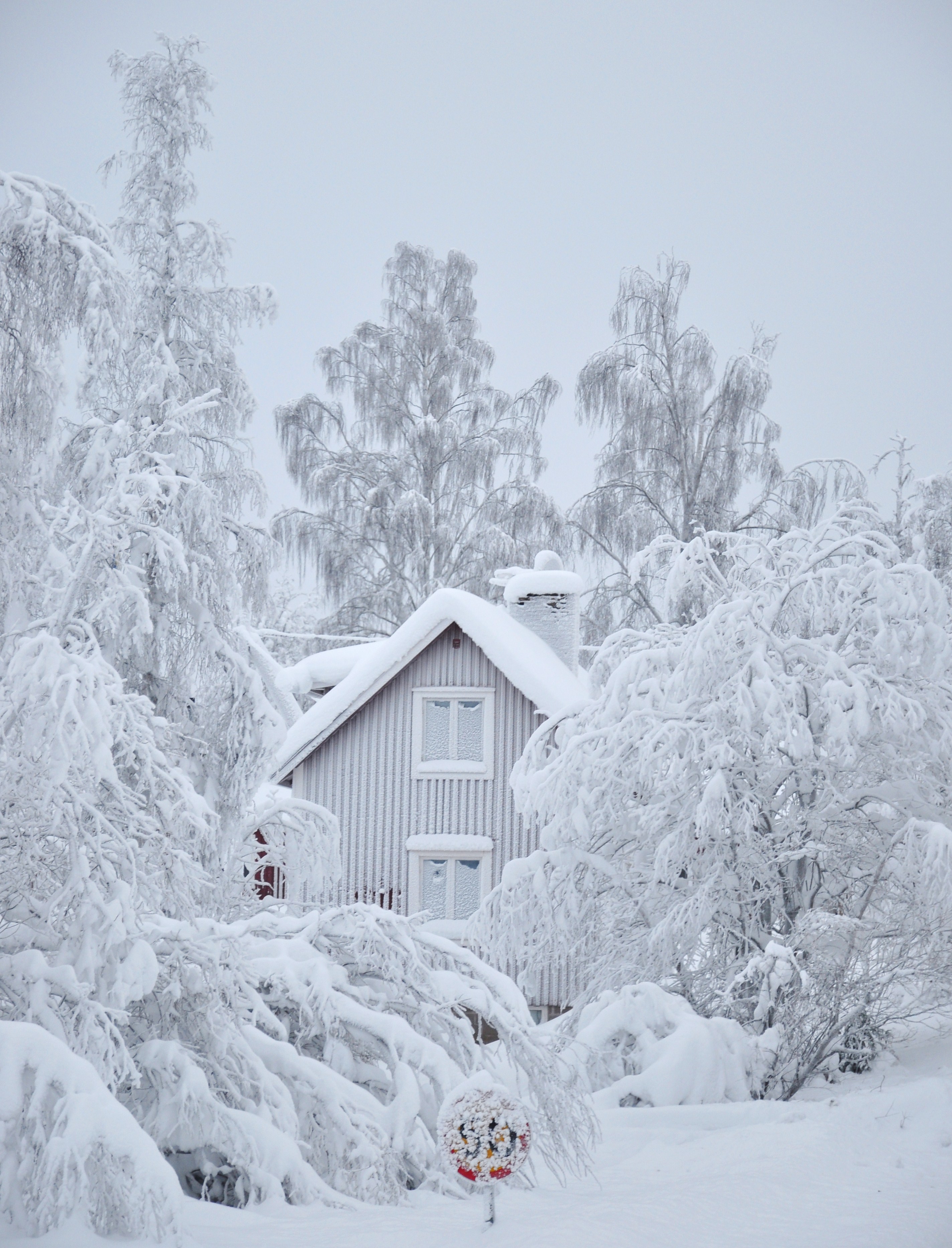
A white day
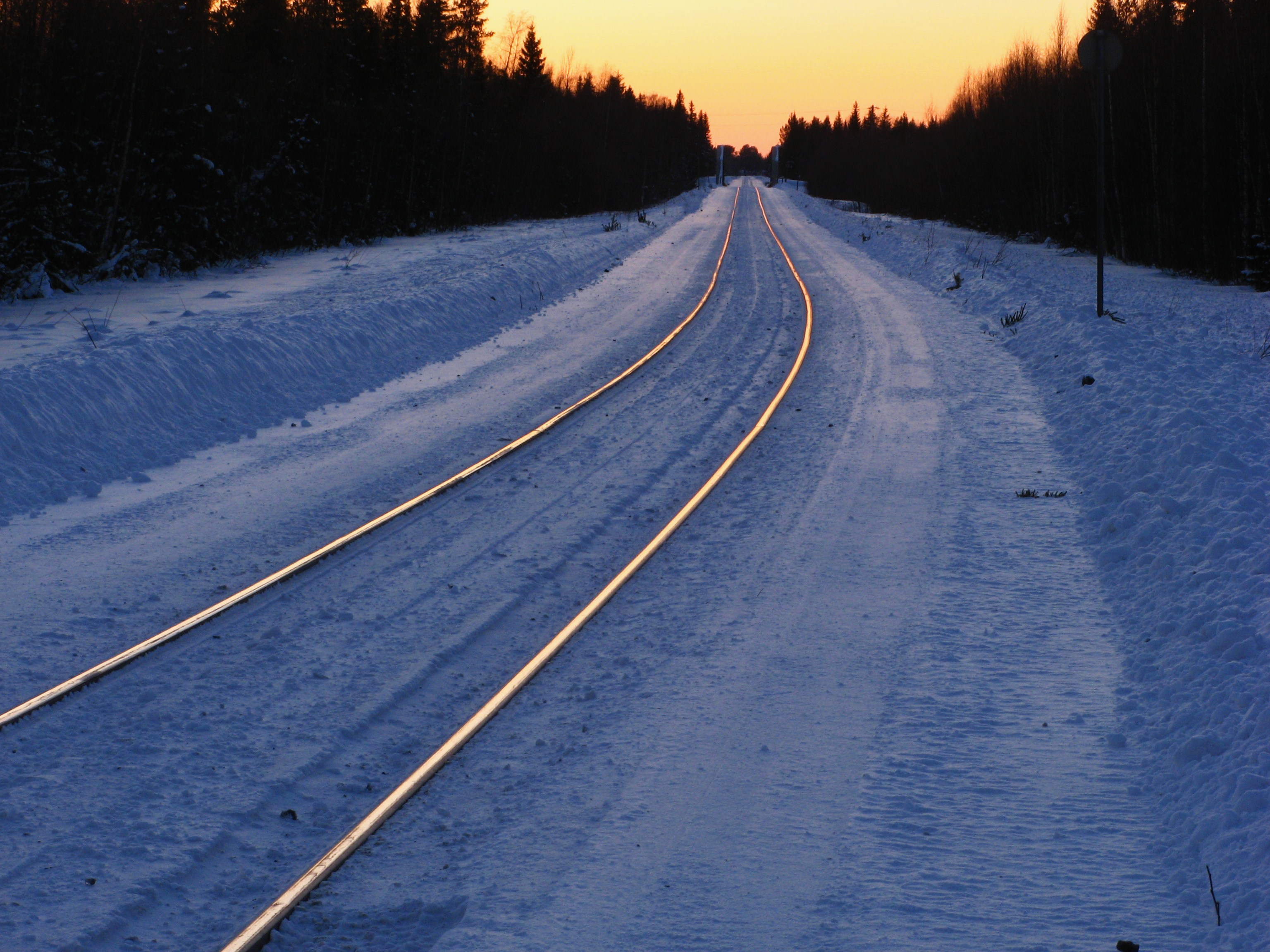
Glowing rails
Topographic Map of ANTTILA 37, 96 Lappträsk, Sweden
Find elevation by address:

Places near ANTTILA 37, 96 Lappträsk, Sweden:
Recent Searches:
- Elevation of Garretts Run Rd, Ford City, PA, USA
- Elevation of N WI-55, Freedom, WI, USA
- Elevation map of Hadiya, Ethiopia
- Elevation of Hosaina, Ethiopia
- Elevation of Verde Terrace, North Port, FL, USA
- Elevation of US-, Leesburg, FL, USA
- Elevation of Summit Dr, Kerrville, TX, USA
- Elevation of Hanson Rd, Cedaredge, CO, USA
- Elevation of Maxine St NE, Albuquerque, NM, USA
- Elevation of Blattner Rd, Philo, CA, USA