Elevation of Anthony Correctional Center, Anthony Center Drive, White Sulphur Springs, WV, USA
Location: United States > West Virginia > Greenbrier County > Eastern > White Sulphur Springs >
Longitude: -80.127211
Latitude: 37.963208
Elevation: 626m / 2054feet
Barometric Pressure: 94KPa
Elevation Map:
Satellite Map:
Related Photos:
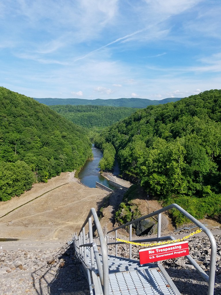
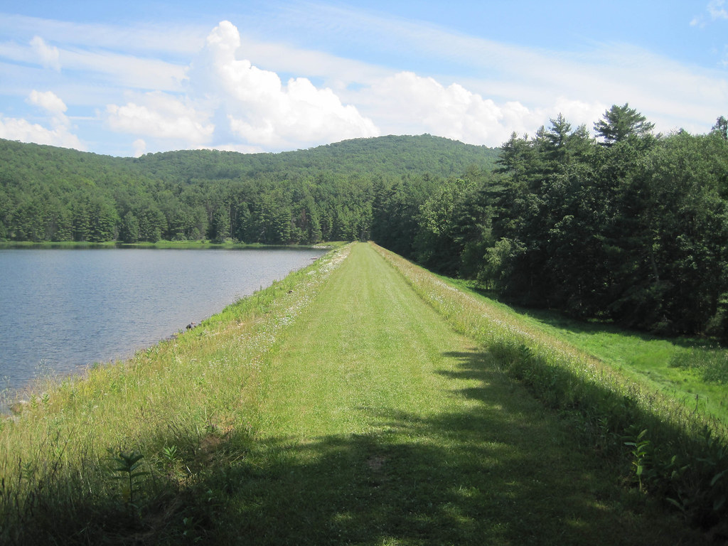
view from Gathright Dam
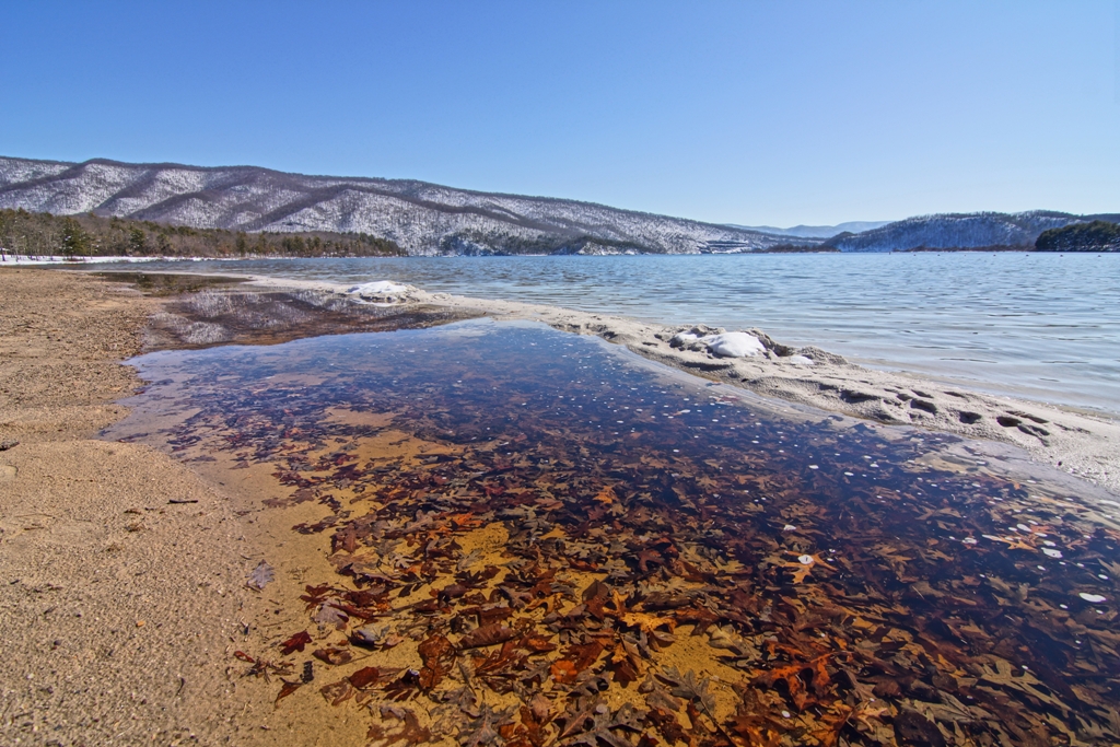
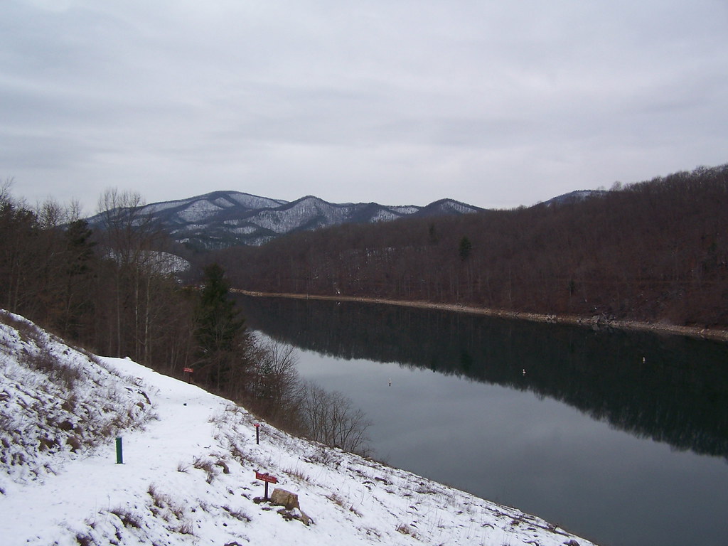
Lake Moomaw - Snow. Ice. Water.
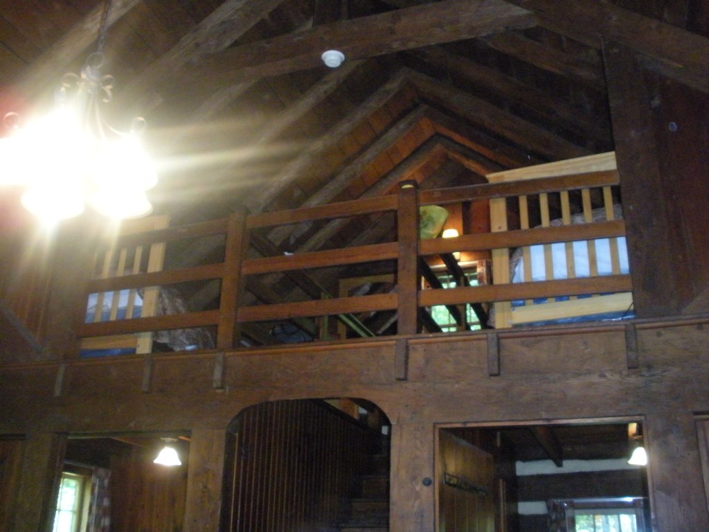
Loft, Watoga Cabin #7 (2237)
Hyner View State Park
Hyner View State Park

Snake Rock Sunrise
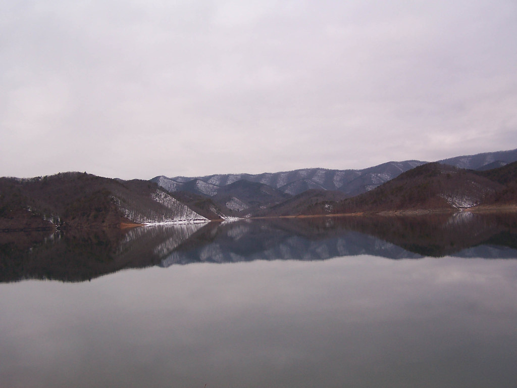
2013.03.08.03 Lake Moomaw
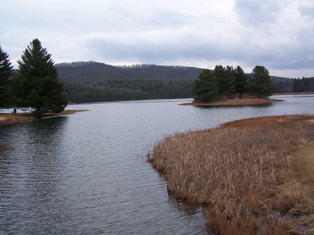
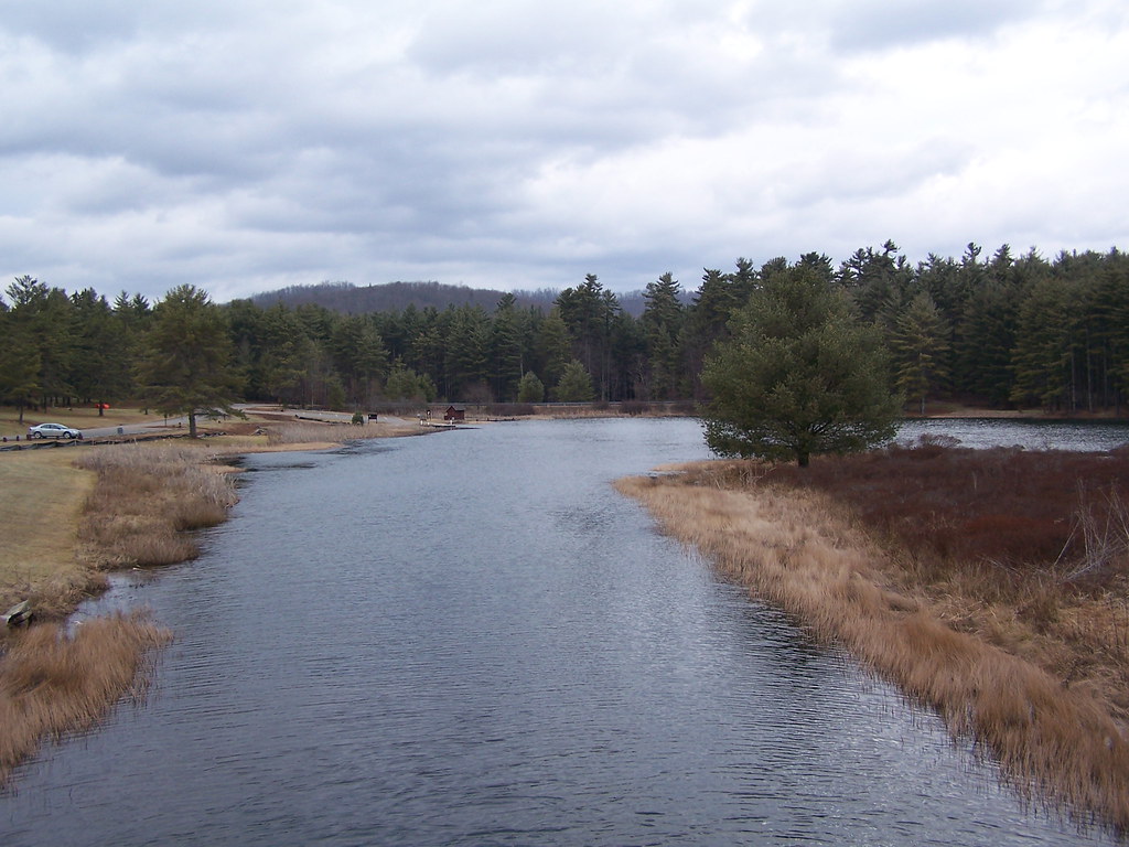
Lake Moomaw

The Road To Beartown
Watoga State Park
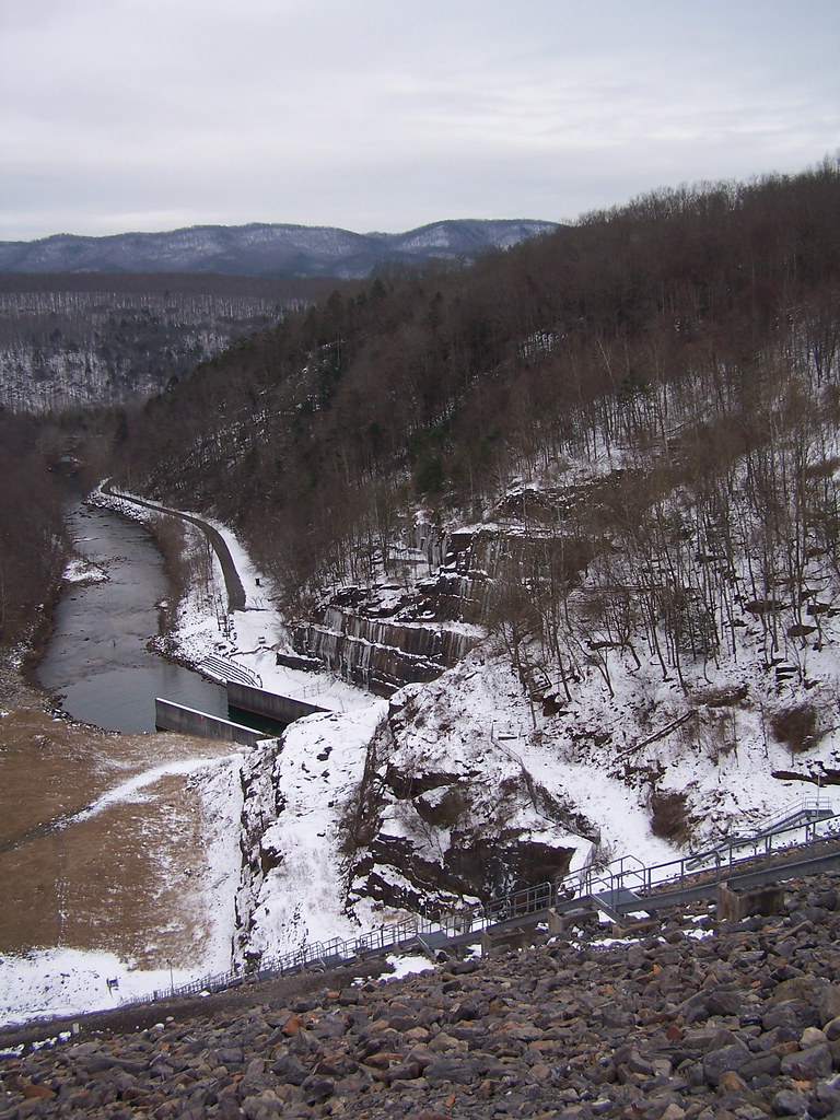
Jackson River, The Gorge, below Gathright Dam, George Washington National Forest, Alleghany County, Virginia 2
Beartown State Park, West Virginia
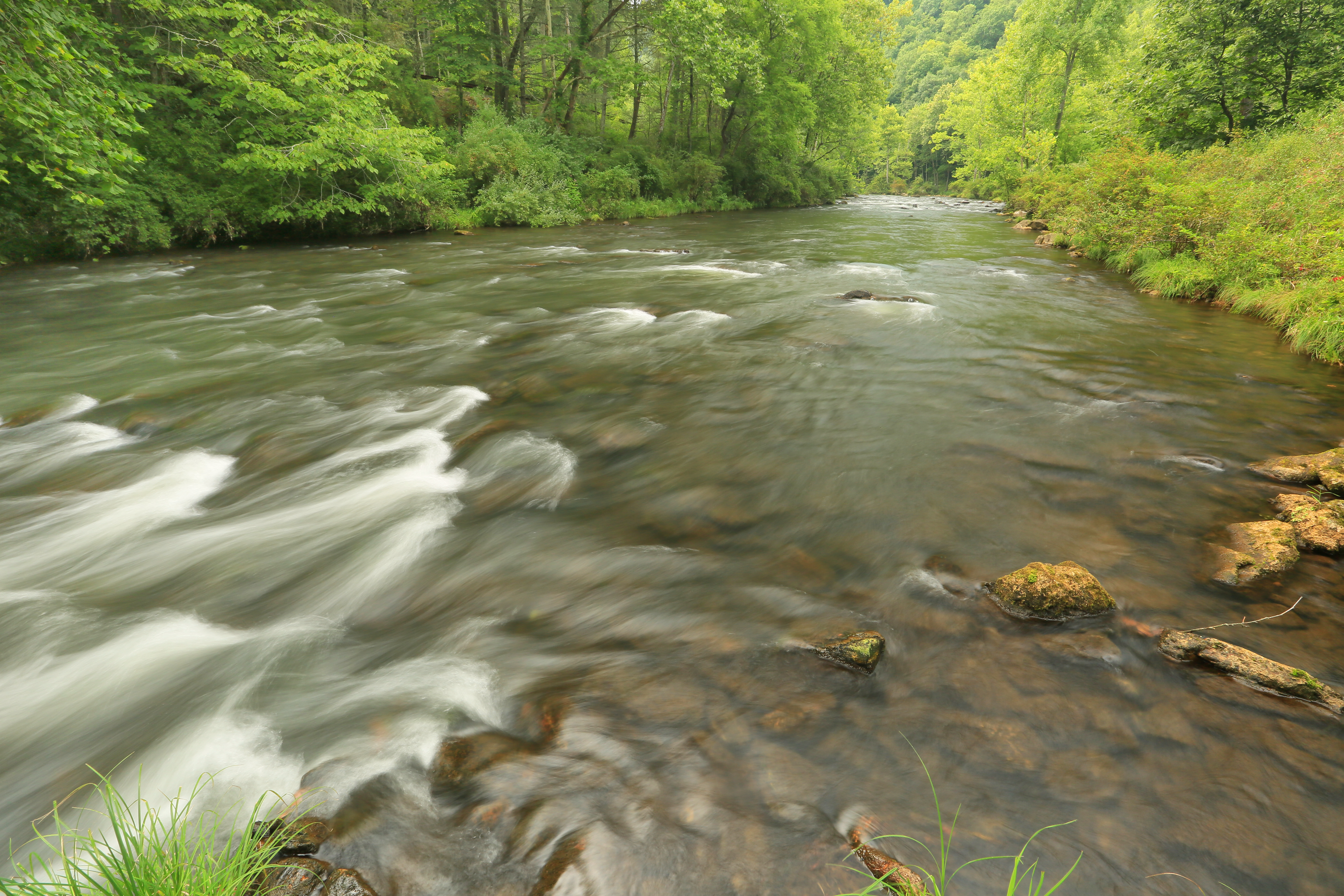
Jackson River, The Gorge, below Gathright Dam, George Washington National Forest, Alleghany County, Virginia 1
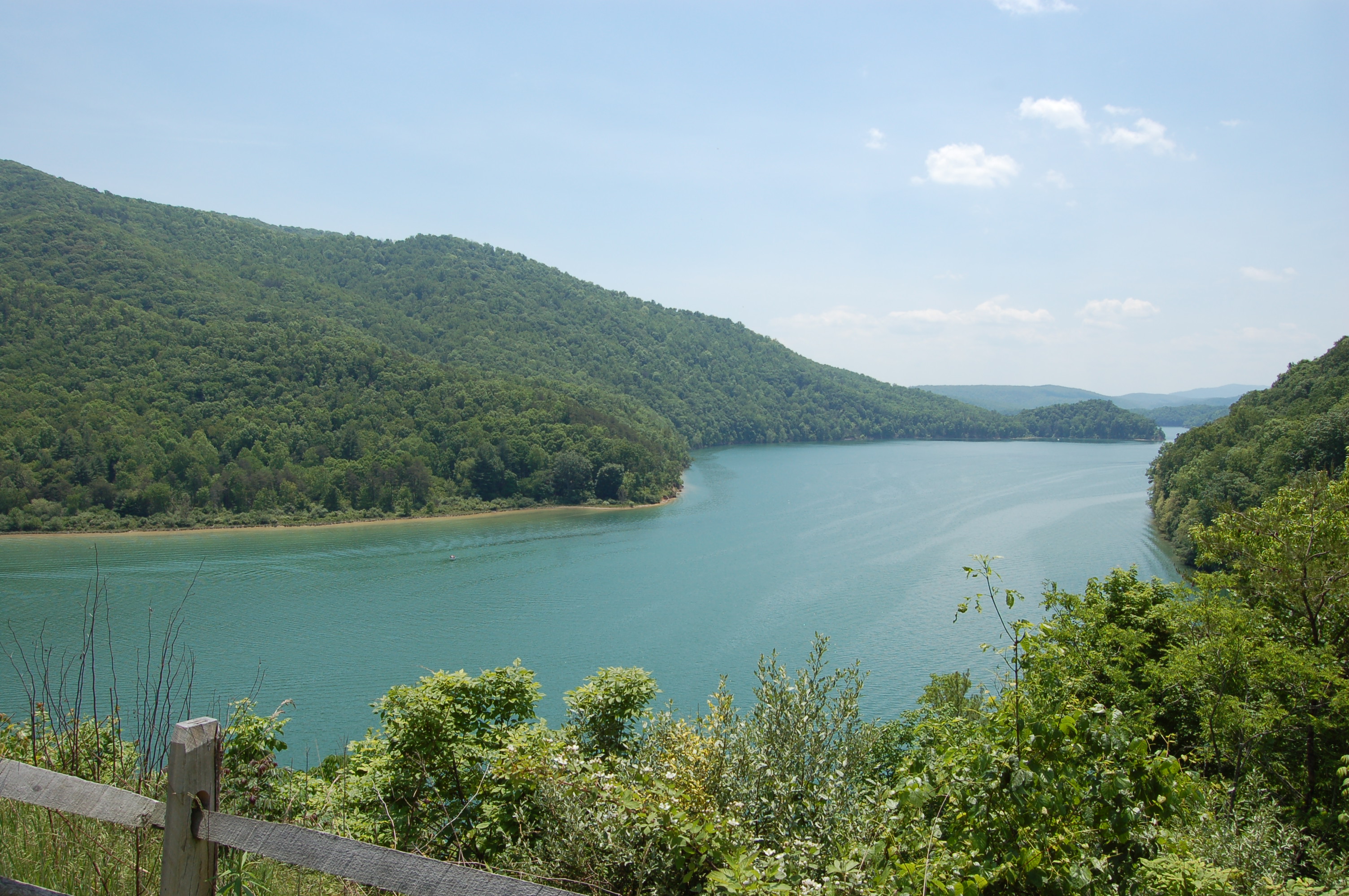
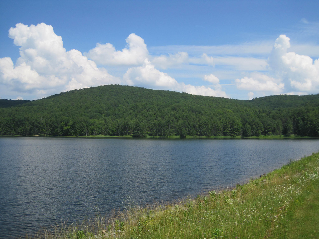
Lake Sherwood

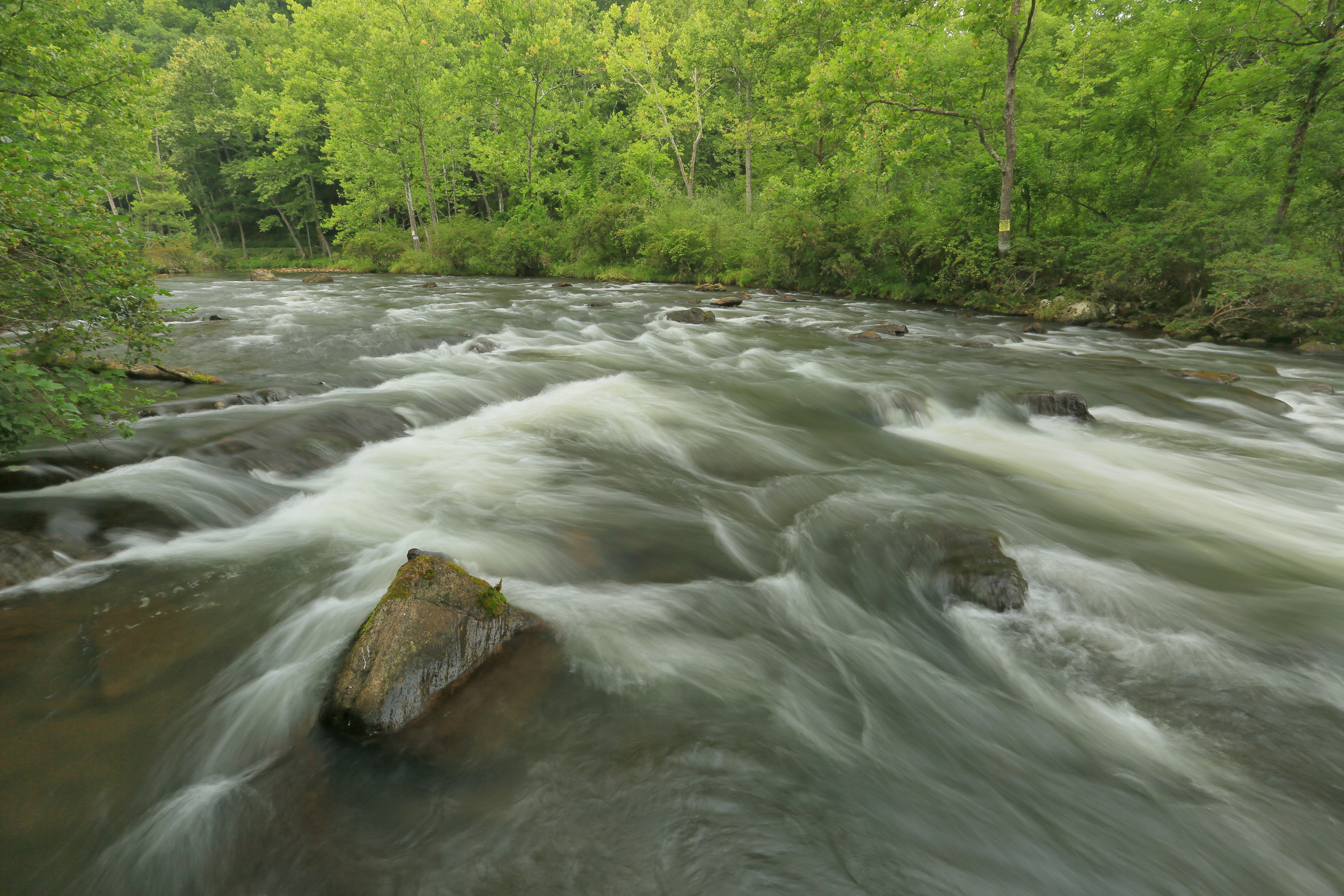
Anthony Creek, Monongahela NF, West Virgina
Lake Sherwood Image 1 1-13-2006 Photo

Early morning fishing

Lake Moomaw
Jackson River Downstream Image 2 1-26-2008 Photo
Lake Moomaw
Lake Moomaw
Lake Sherwood Island Image 2 1-13-2006 Photo
Lake Sherwood

Jackson River_IMGP0751
Lake Moomaw Image 1 1-26-2008 Photo
Topographic Map of Anthony Correctional Center, Anthony Center Drive, White Sulphur Springs, WV, USA
Find elevation by address:

Places near Anthony Correctional Center, Anthony Center Drive, White Sulphur Springs, WV, USA:
Neola
7202 Johnson Creek Rd
7202 Johnson Creek Rd
Ogle Creek Road
Falling Spring
Alleghany County
4625 Midland Trail
217 Wade Dr
200 Wil-dan Ln
105 Waller Ave
Boys Home Road
105 River Rd N
Hot Springs Rd, Covington, VA, USA
Falling Spring Falls
N Alleghany Ave, Covington, VA, USA
Main St. - Covington
Covington
1766 Sam Snead Hwy
Tinkertown
417 Airport Dr
Recent Searches:
- Elevation of Kreuzburger Weg 13, Düsseldorf, Germany
- Elevation of Gateway Blvd SE, Canton, OH, USA
- Elevation of East W.T. Harris Boulevard, E W.T. Harris Blvd, Charlotte, NC, USA
- Elevation of West Sugar Creek, Charlotte, NC, USA
- Elevation of Wayland, NY, USA
- Elevation of Steadfast Ct, Daphne, AL, USA
- Elevation of Lagasgasan, X+CQH, Tiaong, Quezon, Philippines
- Elevation of Rojo Ct, Atascadero, CA, USA
- Elevation of Flagstaff Drive, Flagstaff Dr, North Carolina, USA
- Elevation of Avery Ln, Lakeland, FL, USA