Elevation of Anner Rd, Picayune, MS, USA
Location: United States > Mississippi > Pearl River County > Picayune >
Longitude: -89.508042
Latitude: 30.596759
Elevation: 53m / 174feet
Barometric Pressure: 101KPa
Elevation Map:
Satellite Map:
Related Photos:

YES WE ( Peli ) CAN..
Bay St. Louis, Mississippi

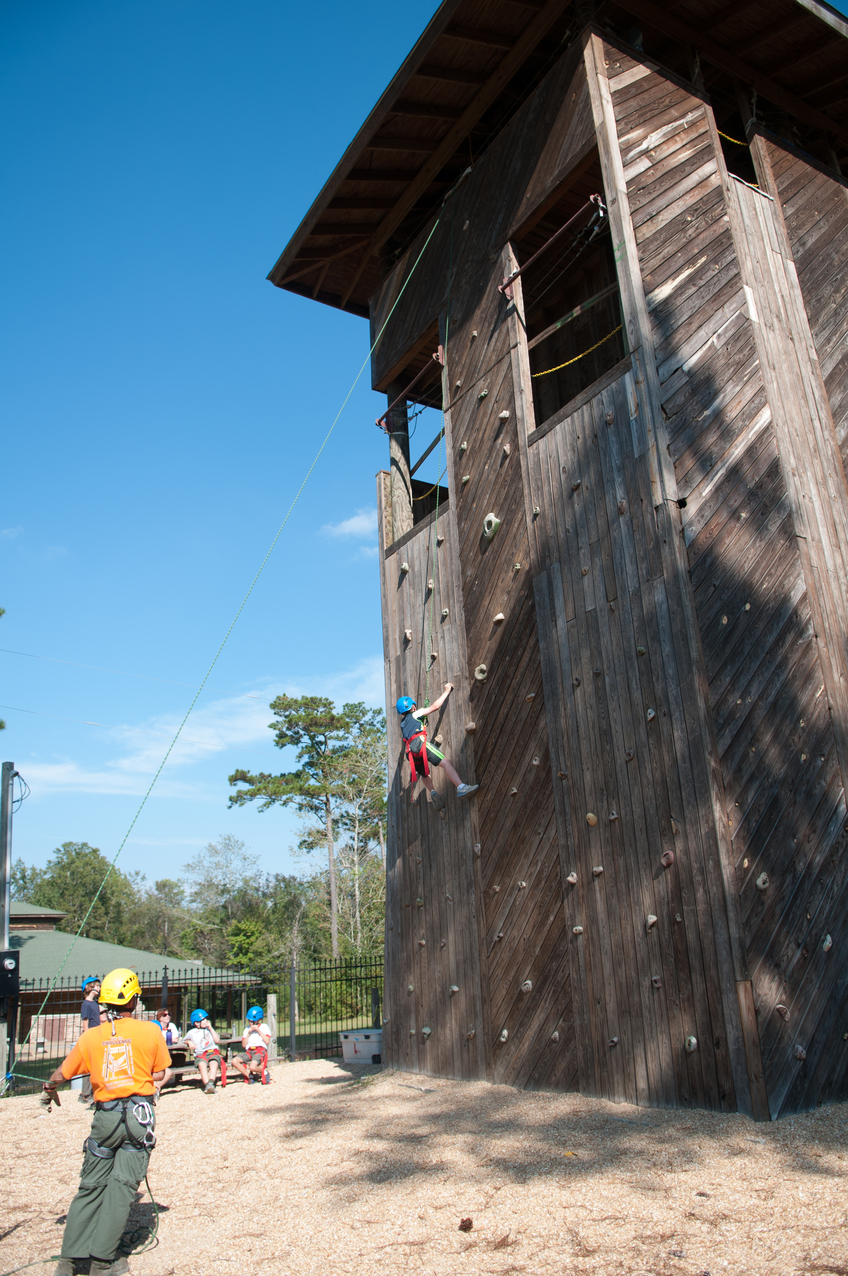
My view when I woke up this morning. #campvibes #scouting #boyscouts

Betsy on the MOOOve ? (2 Views)
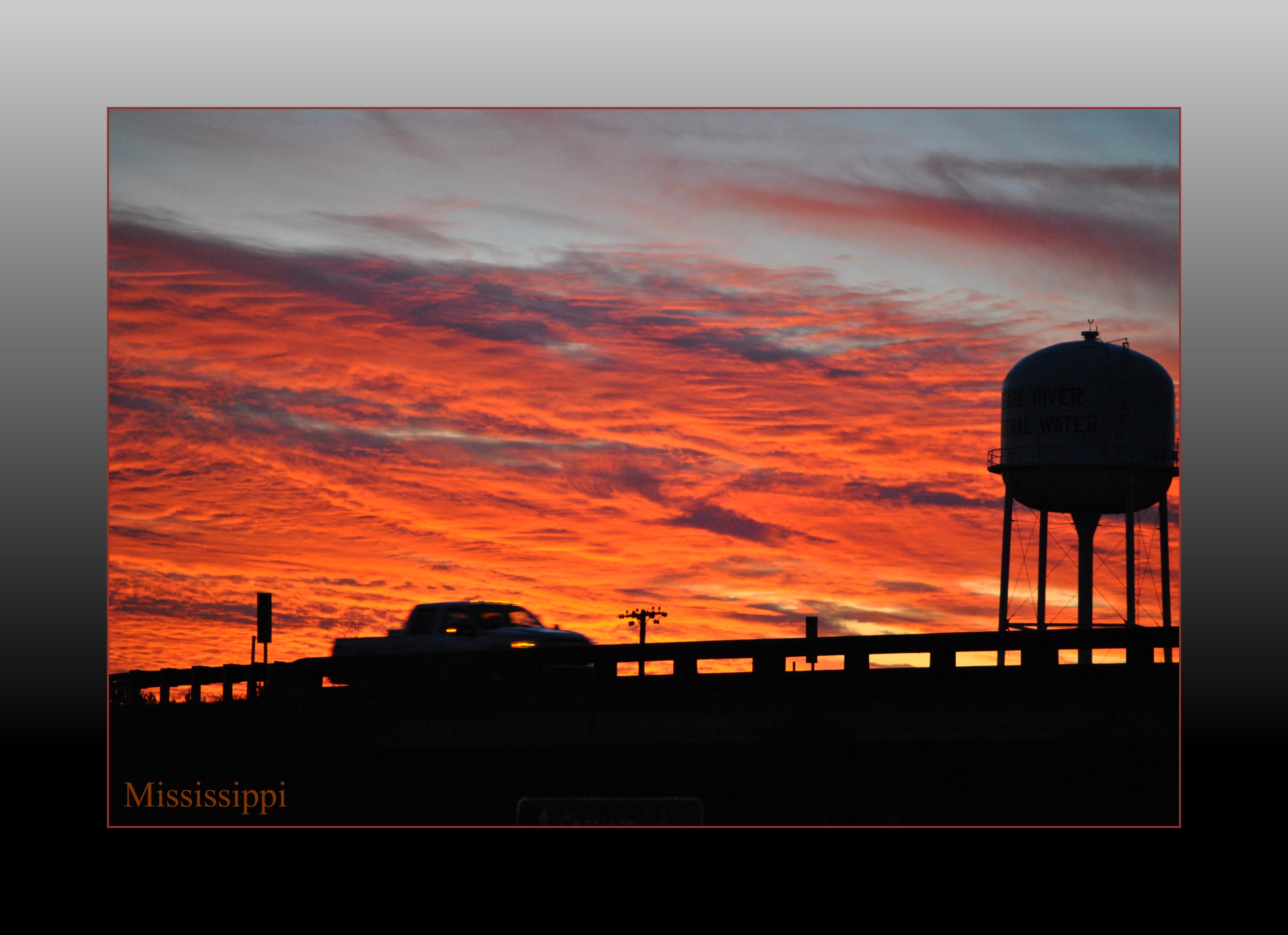
Mississippi Sunset

Catahoula Creek, South of Savannah, MS

The Shaping Post_8266
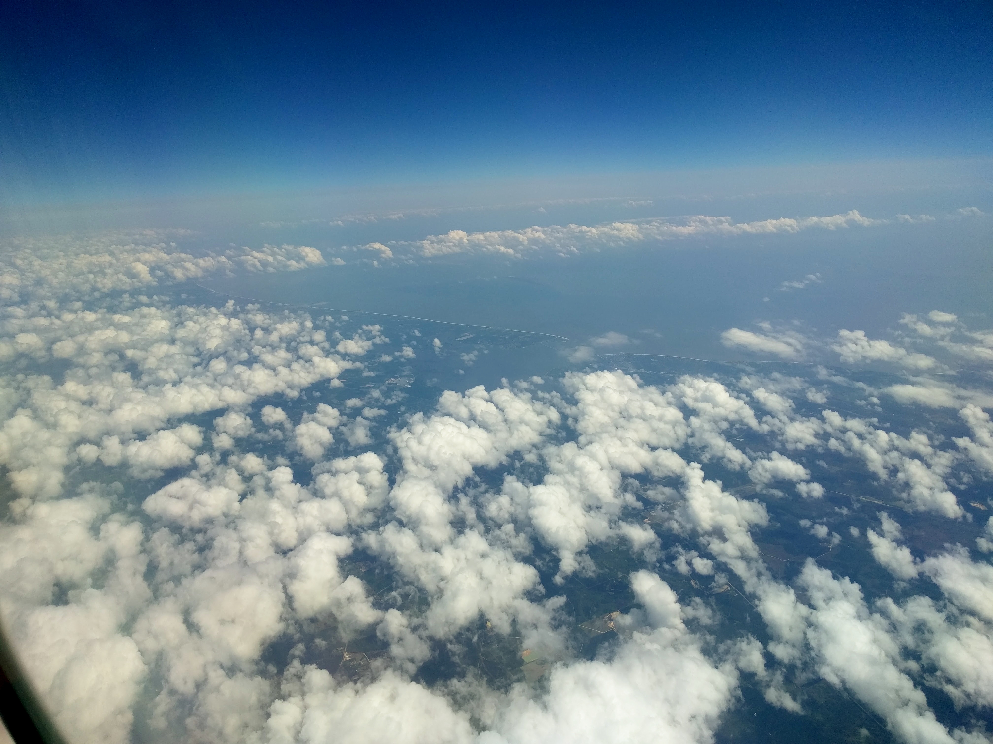
Eye in the sky
20121013-422.jpg

Sidelines from across the room

A Little Bit of Heaven
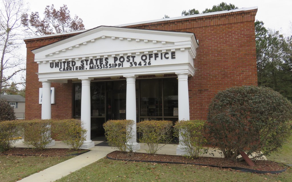
Post Office 39426 (Carriere, Mississippi)

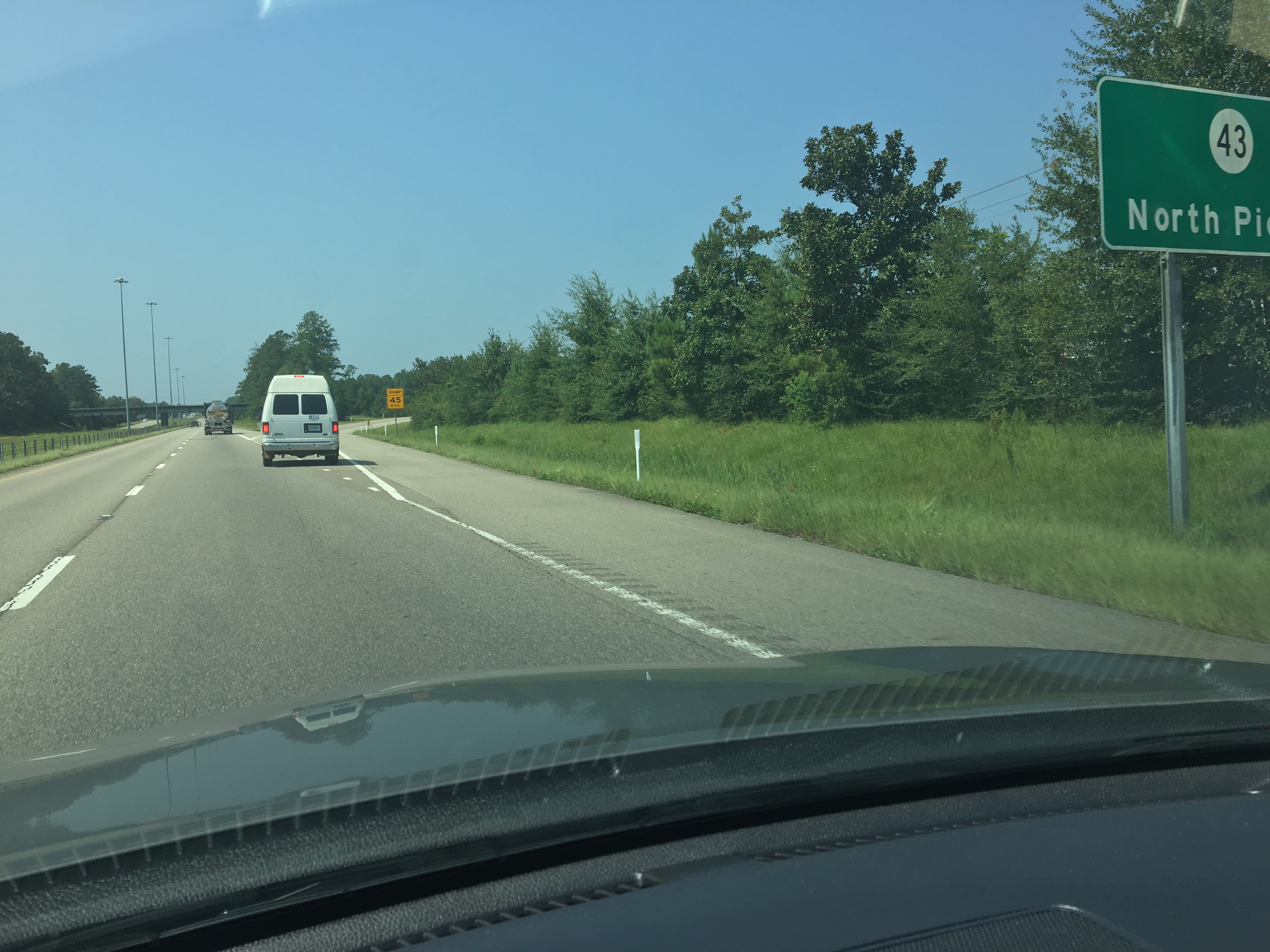
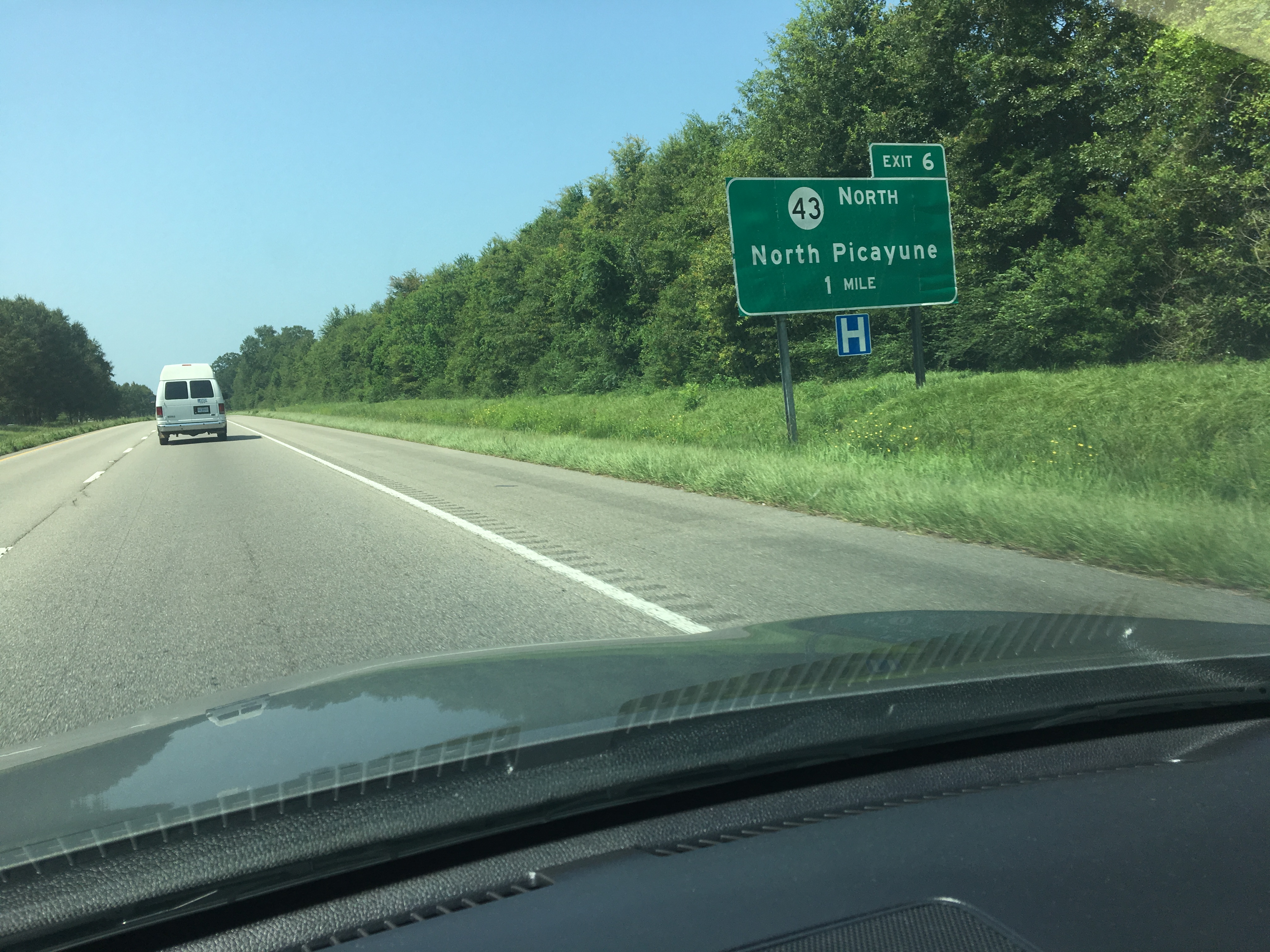
Post Office 39466 (Picayune, Mississippi)

#WDW17
#WDW17
#WDW17

#WDW17
IMG_4280.JPG
IMG_4169.JPG
IMG_4271.JPG

IMG_4202.JPG

IMG_4463.JPG

IMG_4217.JPG
IMG_4592.JPG

IMG_4318.JPG
IMG_4386.JPG
IMG_4652.JPG
Topographic Map of Anner Rd, Picayune, MS, USA
Find elevation by address:

Places near Anner Rd, Picayune, MS, USA:
32113 Anner Rd
Road 205
1505 Ceasar Rd
151 Acolapisa Trce
85 Doubloon Dr
Lakeside Drive
576 Melton Smith Rd
34 Hawkins Dr
Anchor Lake Road & Lumpkin Road
MS-53, Perkinston, MS, USA
West Union Road
Woods Road
65 Farmer Rd
12 Monroe Wallace Rd
81 Gilligan Rd
Derby White Sand Rd, Poplarville, MS, USA
2753 Silver Run Rd
Silver Run Lakes
60 Flurry Dr
Recent Searches:
- Elevation of Woolwine, VA, USA
- Elevation of Lumagwas Diversified Farmers Multi-Purpose Cooperative, Lumagwas, Adtuyon, RV32+MH7, Pangantucan, Bukidnon, Philippines
- Elevation of Homestead Ridge, New Braunfels, TX, USA
- Elevation of Orchard Road, Orchard Rd, Marlborough, NY, USA
- Elevation of 12 Hutchinson Woods Dr, Fletcher, NC, USA
- Elevation of Holloway Ave, San Francisco, CA, USA
- Elevation of Norfolk, NY, USA
- Elevation of - San Marcos Pass Rd, Santa Barbara, CA, USA
- Elevation of th Pl SE, Issaquah, WA, USA
- Elevation of 82- D Rd, Captain Cook, HI, USA