Elevation of Angul, Odisha, India
Location: India > Odisha >
Longitude: 85.1510818
Latitude: 20.8444033
Elevation: 121m / 397feet
Barometric Pressure: 100KPa
Elevation Map:
Satellite Map:
Related Photos:

Talcher, September 2006

Talcher, September 2006

Happy birthday lo.. @k_titily ???????????????????????? 1st wsh.. Me

My smile

Talcher, December 2007

Talcher, December 2007

Talcher, September 2006

Qtr,26.07.09
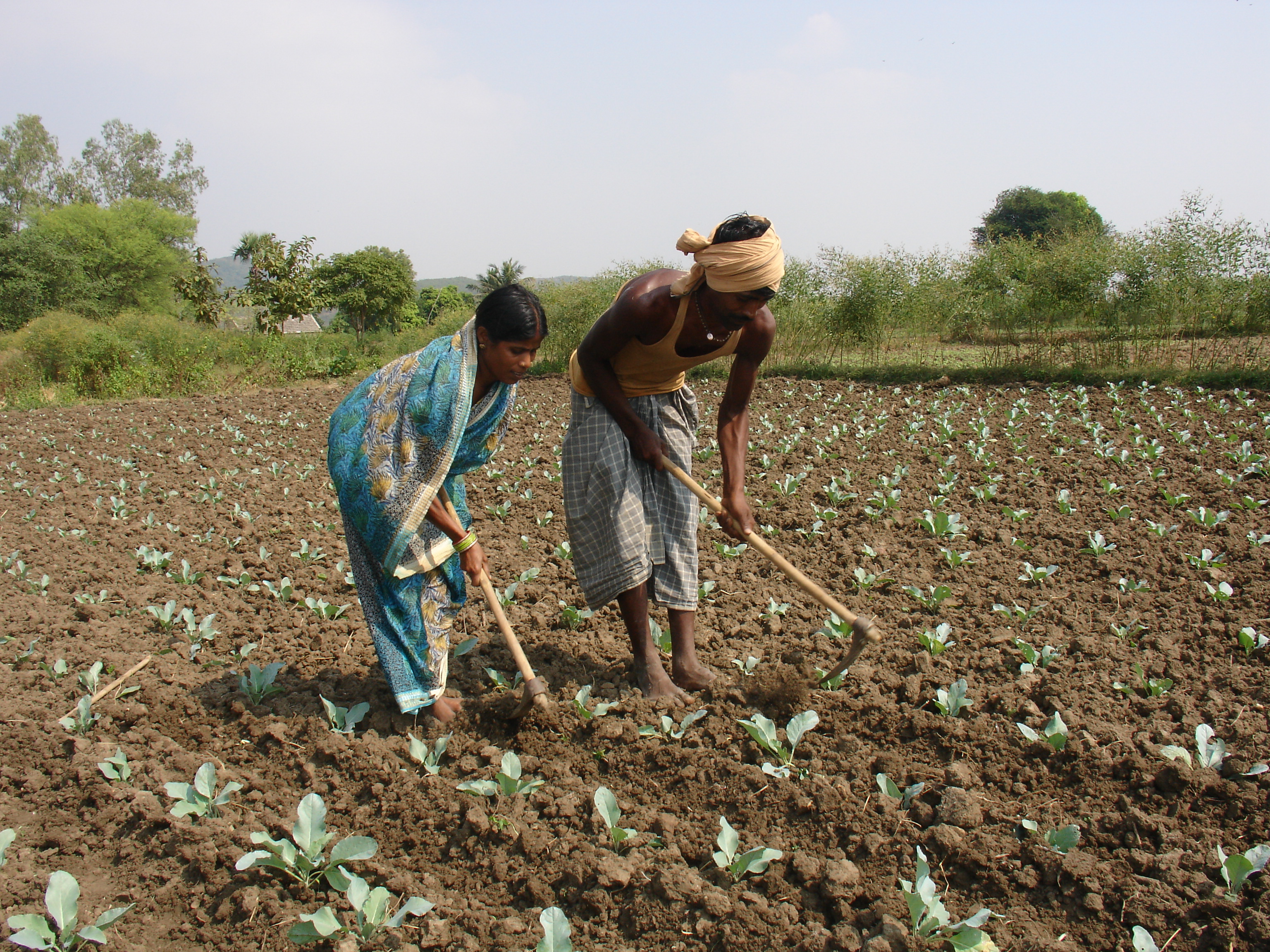
My fields are my pride
Topographic Map of Angul, Odisha, India
Find elevation by address:

Places near Angul, Odisha, India:
Nalco
Odisha
Dhenkanal
Odisha
Cuttack
Gadajit
Chandaka Forest
Khordha
Ghangapatna
Khordha
Badaraghunathpur
Barunei Hill
Parshuram Temple
Khandagiri
Xavier University Bhubaneswar
The Aditya Birla Public School, Bhubaneswar
Kakudia
Puri
Recent Searches:
- Elevation of Martins Mill Ct, Eagle Rock, NC, USA
- Elevation of Kippen, Stirling FK8, UK
- Elevation of Sieveringer Straße, Sieveringer Str., Wien, Austria
- Elevation of Bratskaya Ulitsa, 24, Kurgan, Kurganskaya oblast', Russia
- Elevation of Paradisvegen, Biri, Norway
- Elevation of Crystal Cir, Birmingham, AL, USA
- Elevation of N Railroad Ave, West Palm Beach, FL, USA
- Elevation of 55 Cassick Valley Rd, Wellfleet, MA, USA
- Elevation of Ironwood Dr, Minden, NV, USA
- Elevation of 高尾山口駅, Takaomachi, Hachioji, Tokyo -, Japan