Elevation of Angie, LA, USA
Location: United States > Louisiana > Washington Parish > >
Longitude: -89.809520
Latitude: 30.9665729
Elevation: 43m / 141feet
Barometric Pressure: 101KPa
Elevation Map:
Satellite Map:
Related Photos:
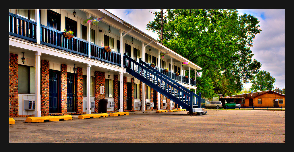
Motel in Angie Louisiana
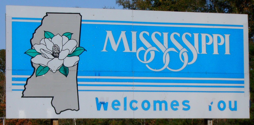
Mississippi Welcomes You Sign (Marion County, Mississippi)

Rock On!
Washington 01
Topographic Map of Angie, LA, USA
Find elevation by address:

Places near Angie, LA, USA:
435 Ms-43
MS-35, Foxworth, MS, USA
56151 Par Rd 218
298 Pickwick Rd
Marion County
1818 Columbia Purvis Rd
1818 Columbia Purvis Rd
Foxworth
102 Old Morgantown Rd
2nd St, Columbia, MS, USA
Columbia
3880 Ms-35
218 E Rankin St
606 Beach Rd
W Main Ave, Lumberton, MS, USA
Lumberton
18 E Seneca Rd, Lumberton, MS, USA
Lamar County
138 Lloyd Ladner Rd
19 C Williamson Rd
Recent Searches:
- Elevation of Sattva Horizon, 4JC6+G9P, Vinayak Nagar, Kattigenahalli, Bengaluru, Karnataka, India
- Elevation of Great Brook Sports, Gold Star Hwy, Groton, CT, USA
- Elevation of 10 Mountain Laurels Dr, Nashua, NH, USA
- Elevation of 16 Gilboa Ln, Nashua, NH, USA
- Elevation of Laurel Rd, Townsend, TN, USA
- Elevation of 3 Nestling Wood Dr, Long Valley, NJ, USA
- Elevation of Ilungu, Tanzania
- Elevation of Yellow Springs Road, Yellow Springs Rd, Chester Springs, PA, USA
- Elevation of Rēzekne Municipality, Latvia
- Elevation of Plikpūrmaļi, Vērēmi Parish, Rēzekne Municipality, LV-, Latvia