Elevation of Angel Lockheart Road, Angel Lockheart Rd, Tennessee, USA
Location: United States > Tennessee > Bledsoe County > Pikeville >
Longitude: -85.161729
Latitude: 35.6536959
Elevation: 274m / 899feet
Barometric Pressure: 98KPa
Elevation Map:
Satellite Map:
Related Photos:
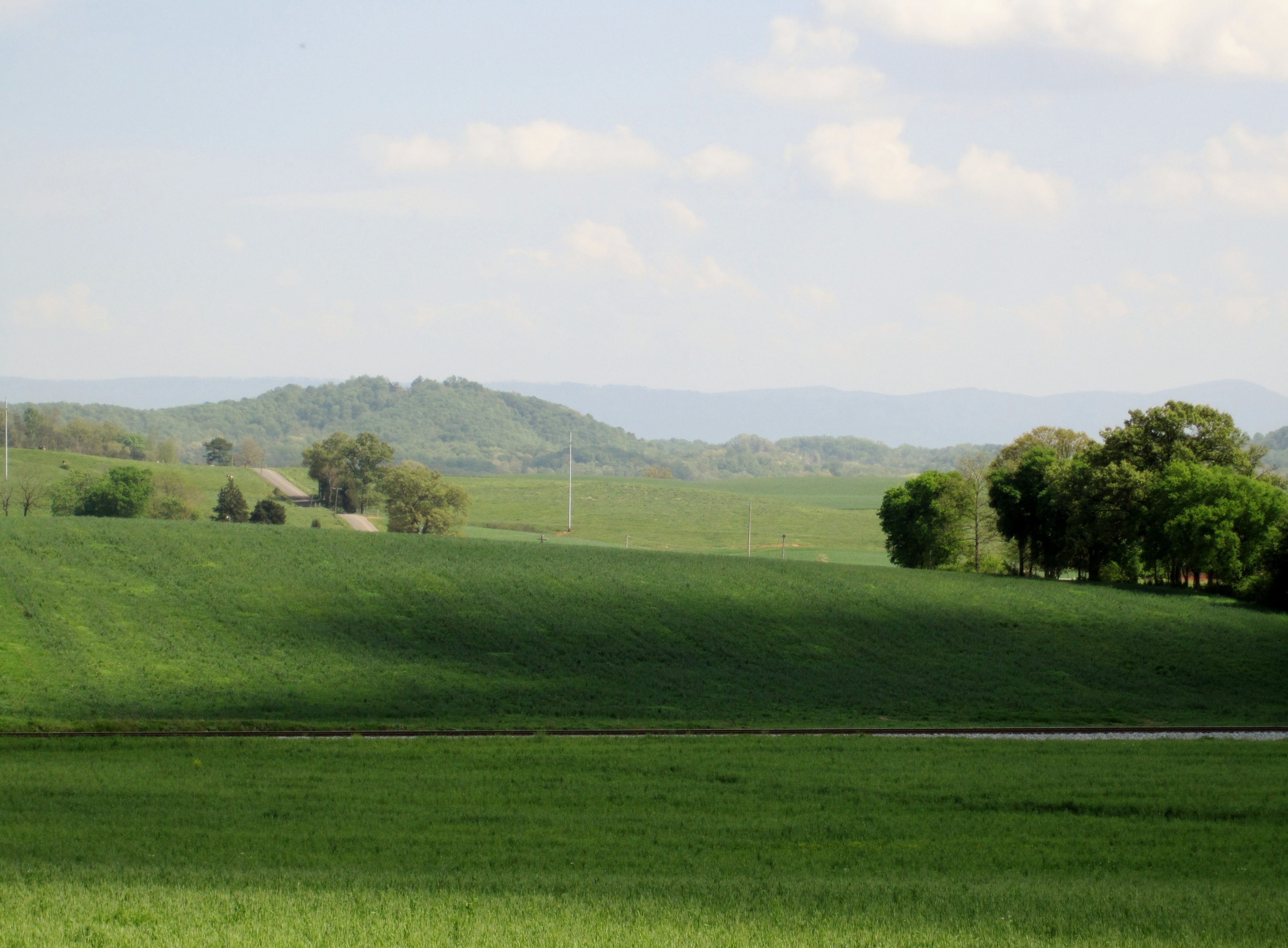
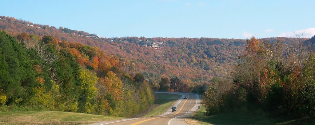
Rolling Hills of TN

Bledsoe County, TN Courthouse - Pikeville, TN

Balcony View
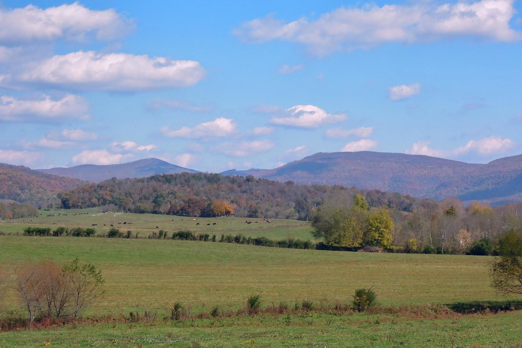
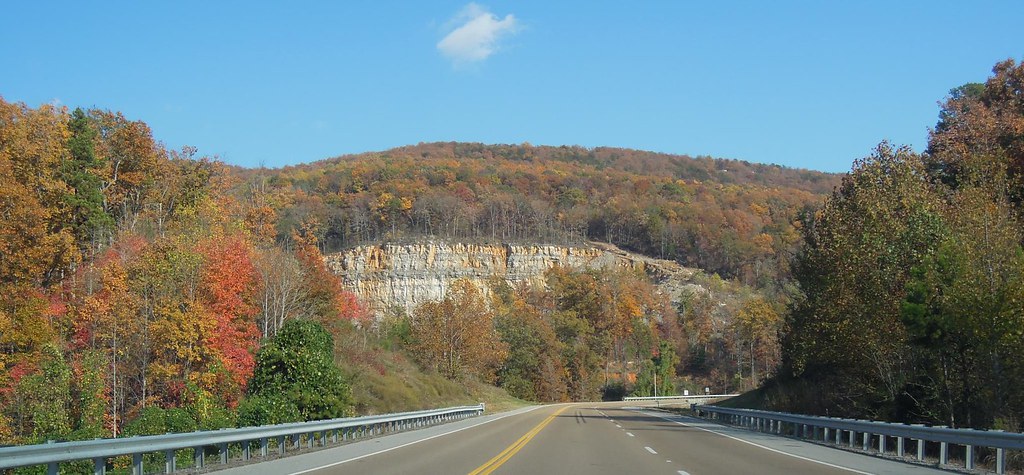
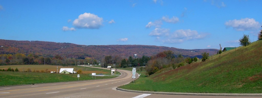
111026 Pikeville, TN
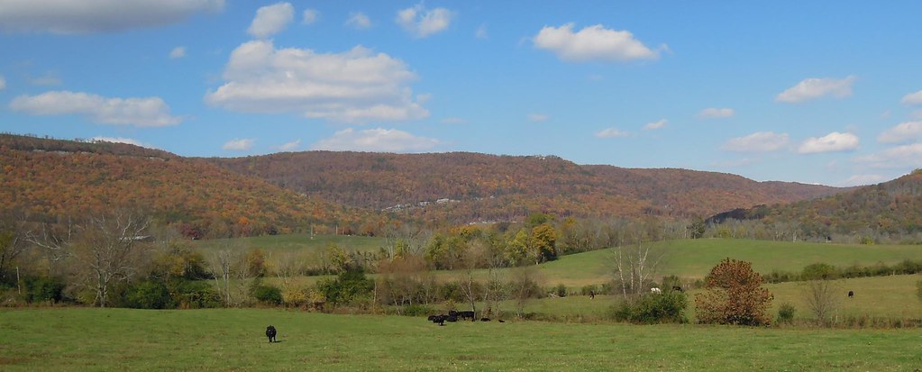
111026 Pikeville, TN
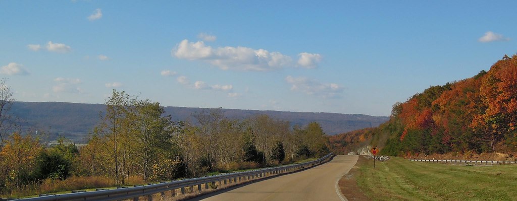
111026 Pikeville, TN

111026 Pikeville, TN
111026 Pikeville, TN
111026 Pikeville, TN
111026 Pikeville, TN
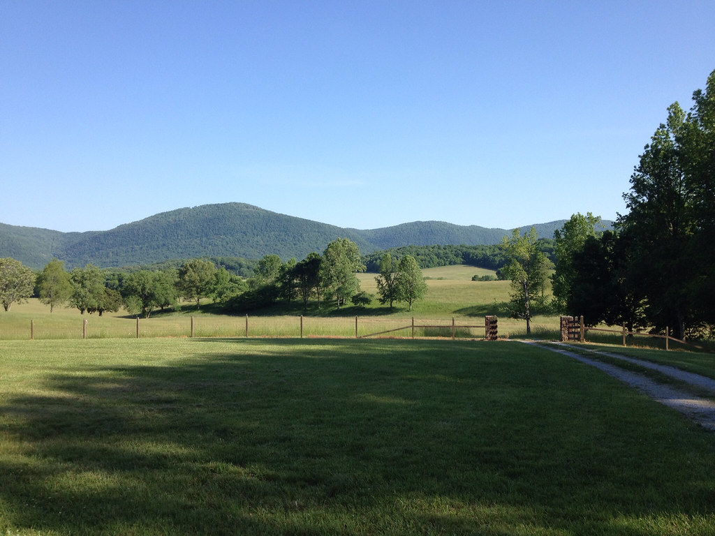
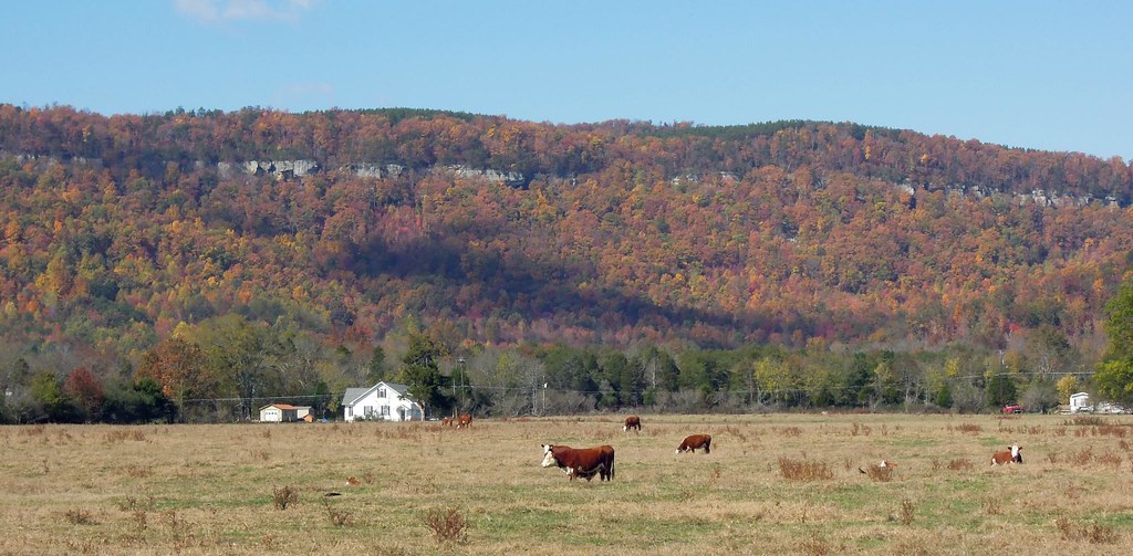
Down on the Farm
111026 Pikeville, TN

Cane Creek

Comb Graves
Topographic Map of Angel Lockheart Road, Angel Lockheart Rd, Tennessee, USA
Find elevation by address:

Places near Angel Lockheart Road, Angel Lockheart Rd, Tennessee, USA:
Cold Springs
48 Putnam Rd
225 Putnam Rd
1151 Bob Sapp Rd
1735 Bob Sapp Rd
Sandy Cove
Pikeville
Lewis Lane
134 Sullivan Ln
298 Blackburn Rd
Farm Bureau Dr, Pikeville, TN, USA
622 Blackburn Rd
Bledsoe County
561 Main St
9599 Griffith Rd
New Harmony Rd, Pikeville, TN, USA
329 Kelly Farm Estates Rd
336 Morgan Springs Rd
New Harmony Rd & Walkertown Rd
3578 Walkertown Rd
Recent Searches:
- Elevation of Woodland Oak Pl, Thousand Oaks, CA, USA
- Elevation of Brownsdale Rd, Renfrew, PA, USA
- Elevation of Corcoran Ln, Suffolk, VA, USA
- Elevation of Mamala II, Sariaya, Quezon, Philippines
- Elevation of Sarangdanda, Nepal
- Elevation of 7 Waterfall Way, Tomball, TX, USA
- Elevation of SW 57th Ave, Portland, OR, USA
- Elevation of Crocker Dr, Vacaville, CA, USA
- Elevation of Pu Ngaol Community Meeting Hall, HWHM+3X7, Krong Saen Monourom, Cambodia
- Elevation of Royal Ontario Museum, Queens Park, Toronto, ON M5S 2C6, Canada