Elevation of Andy Mountain Rd, Oroville, CA, USA
Location: United States > California > Butte County > Oroville >
Longitude: -121.49727
Latitude: 39.745779
Elevation: 832m / 2730feet
Barometric Pressure: 92KPa
Elevation Map:
Satellite Map:
Related Photos:

A Golden State

Doorway into the ruins

Day 585 [1/25/15]: Moving Freckles

Cherokee assay office vault
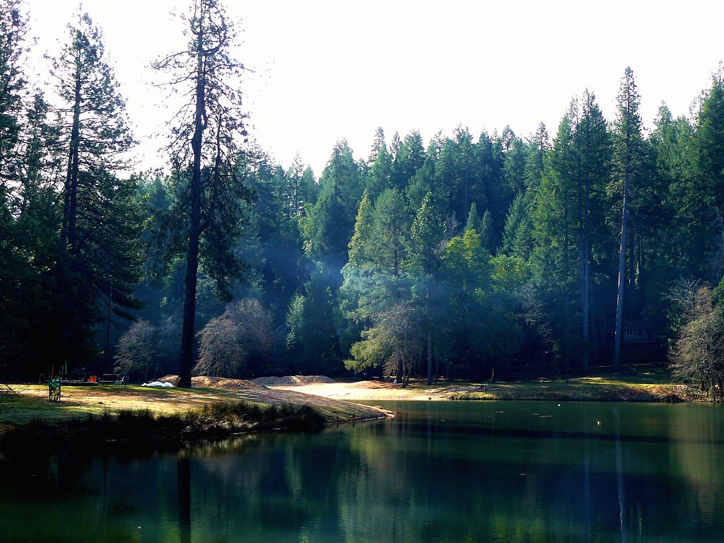
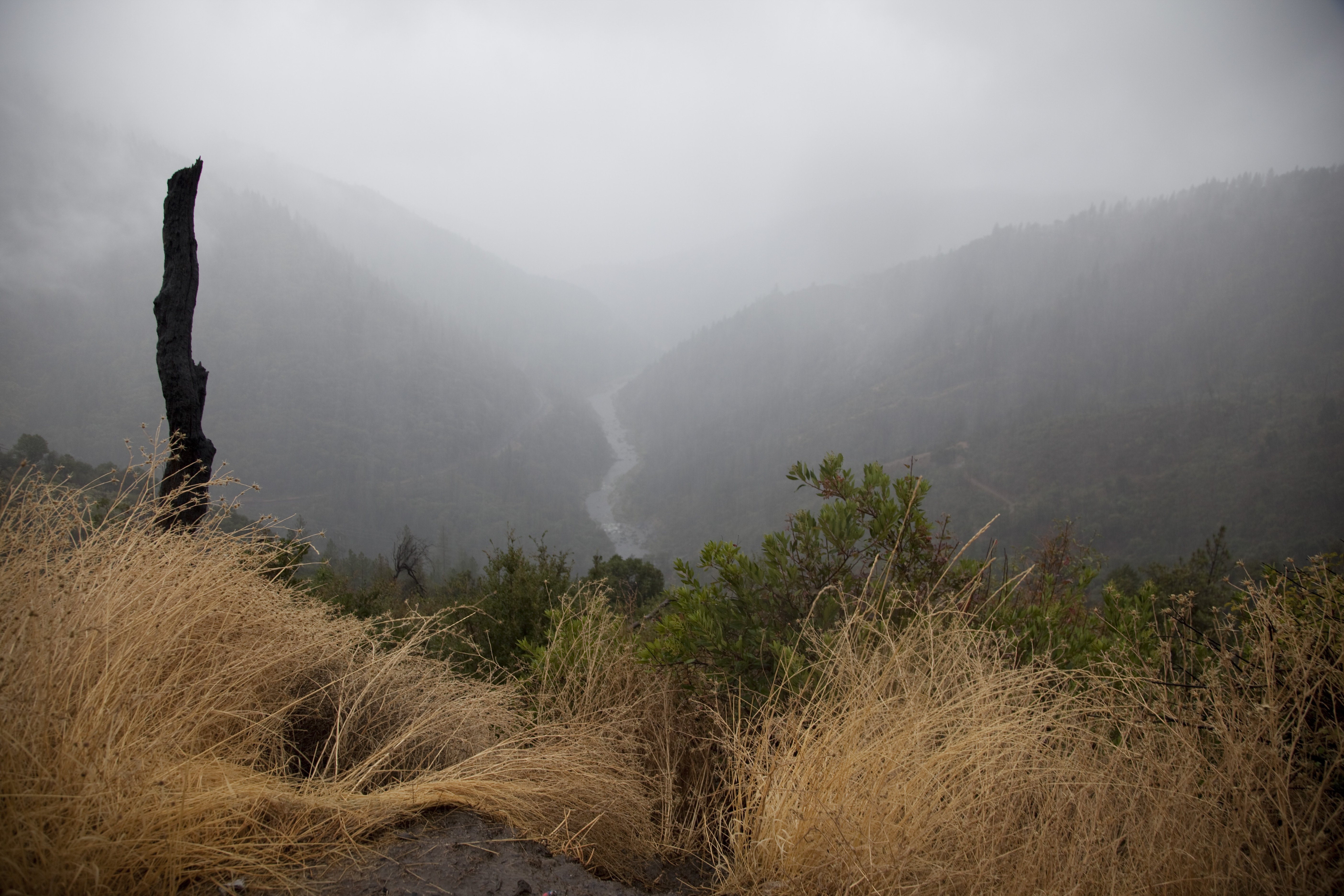
Morning Smoke at Lake Madrone, Berry Creek, Ca.
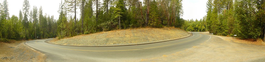
Oroville-Quincy Hwy 162, North Central Ca. - Panorama
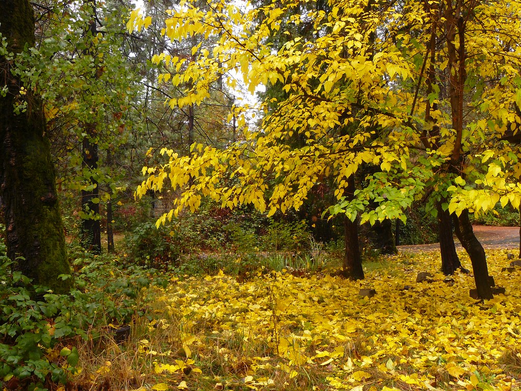
Nov 3rd 2008
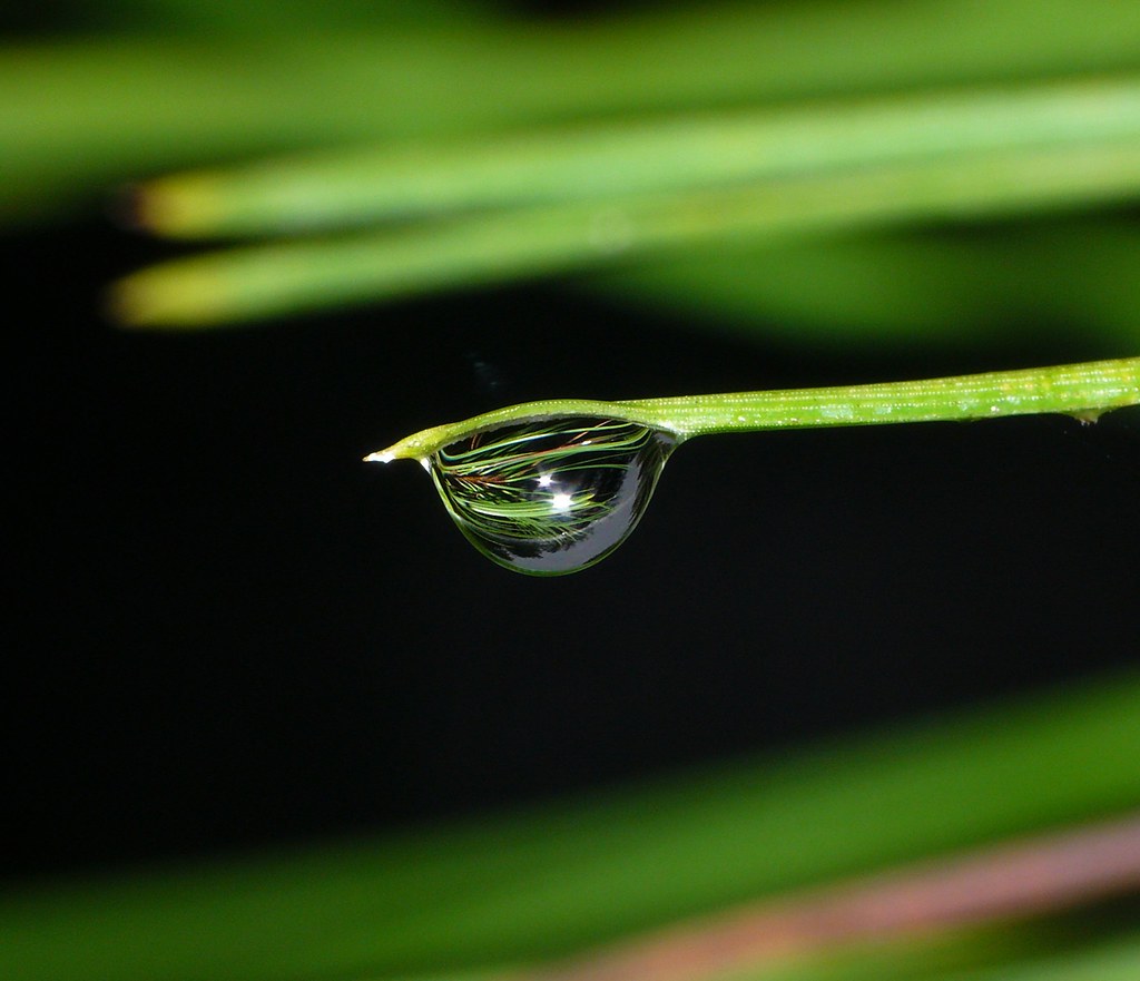
Rain Drop 2
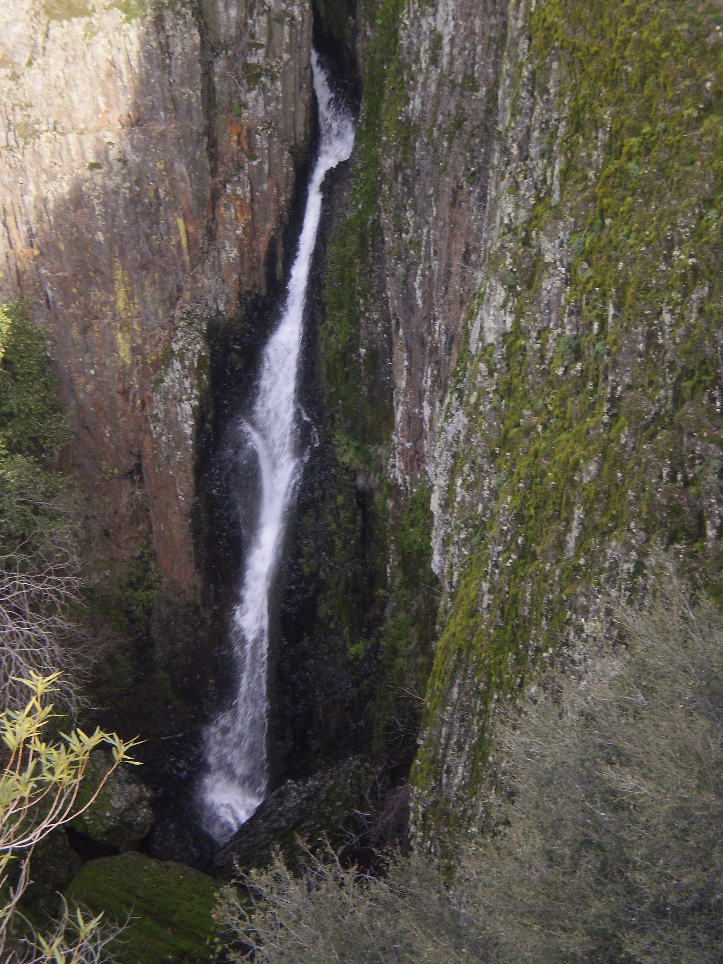
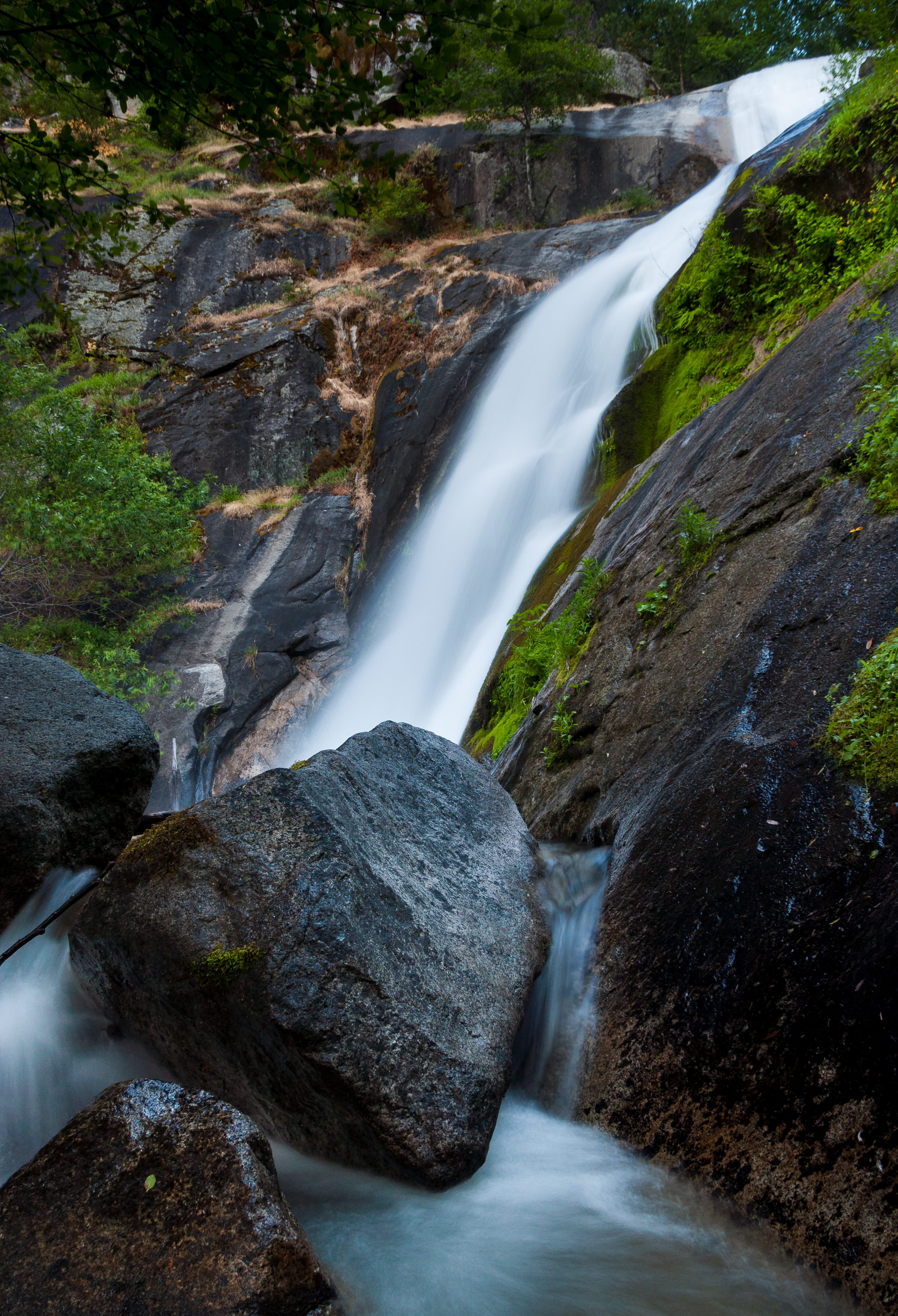
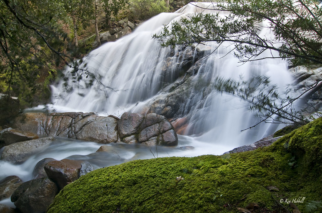
Hidden Falls
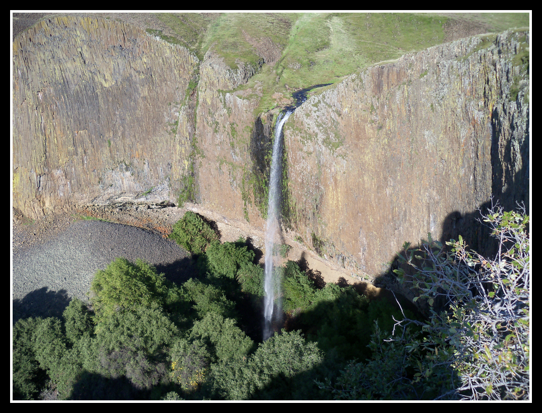
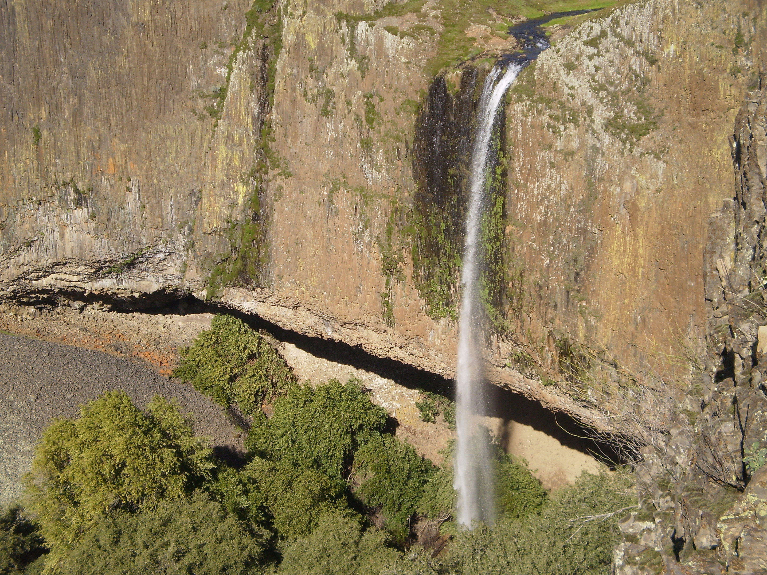
Phantom Falls, North Table Mountain Ecological Reserve

diet coke and mentos

Cherokee assay office ruins
View from my grandmother's front door

Hello, please don't step on me; thank you very much.
Painted Lady Butterfly

Moon and Tree
Feather River
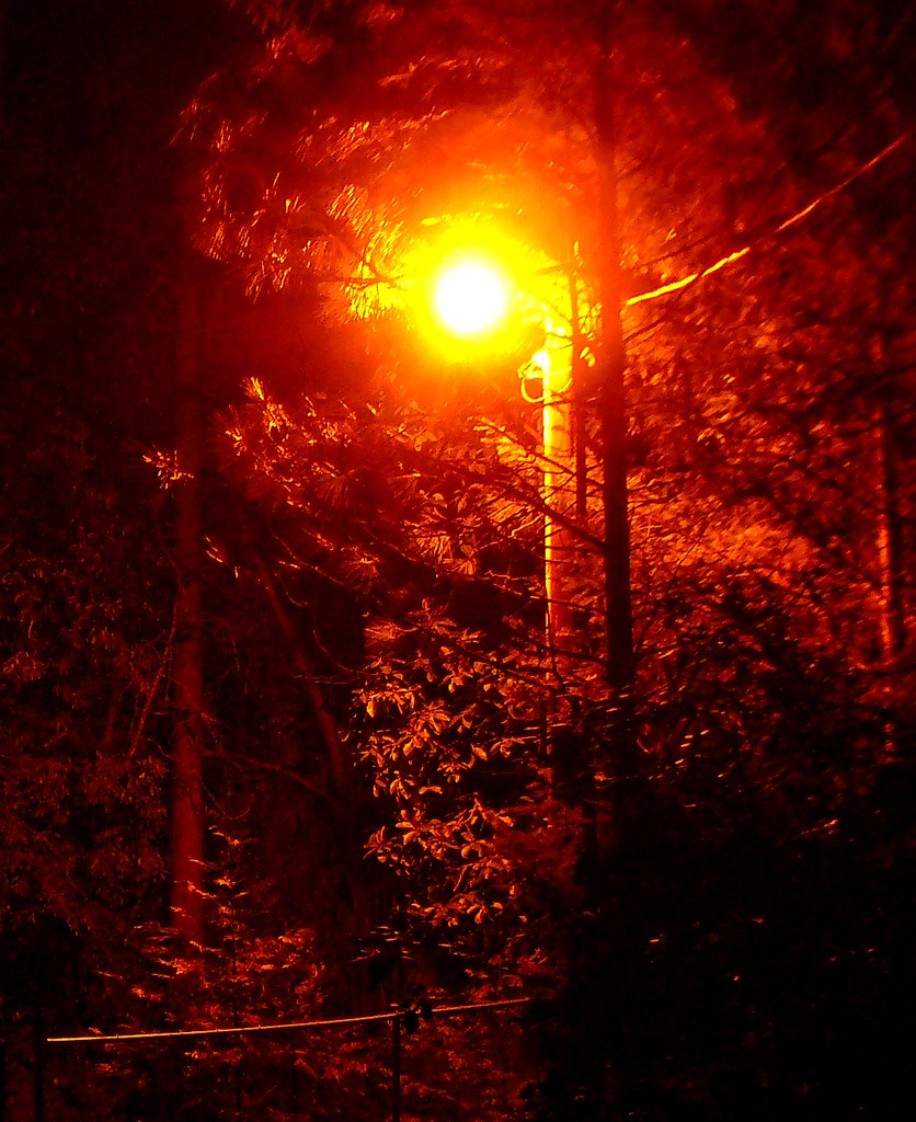
Forest Road Street Lamp

Wall of many colors - Cherokee, CA
Phantom Falls Side View
obey the earth

Phantom Falls
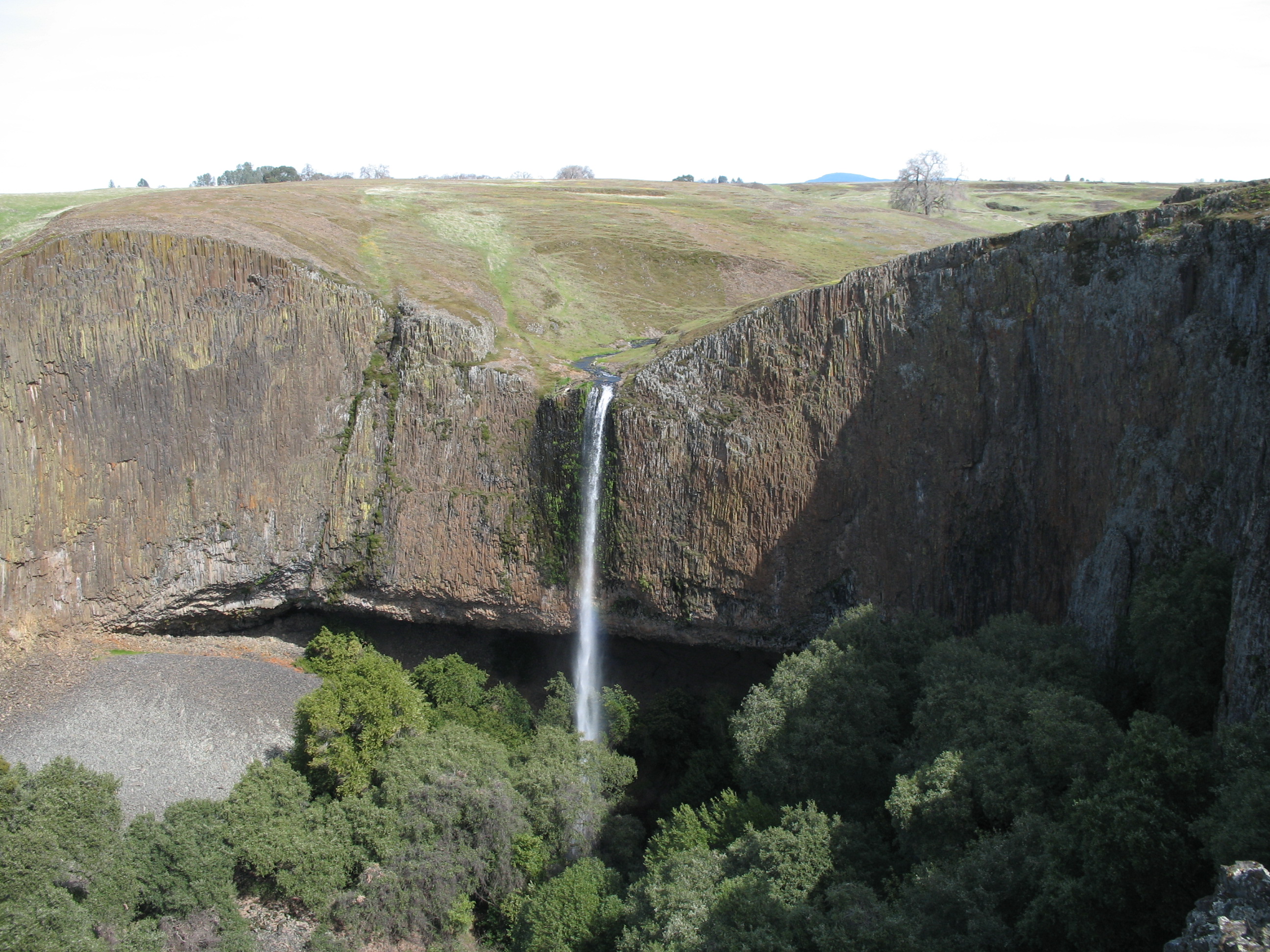
Phantom Falls

Phantom Falls
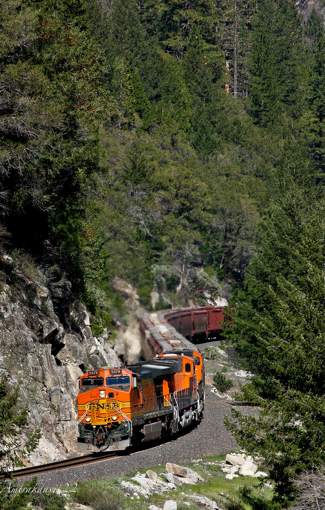
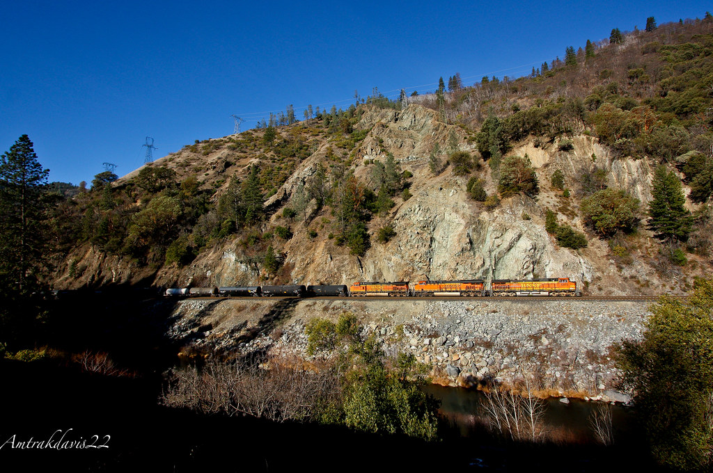
BNSF Grain Train at Cresta S-Curve
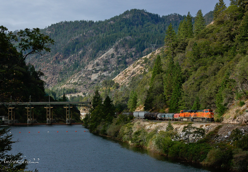
BNSF Manifest Passing Poe Power Dam

Not so bad.

Death Points the Way
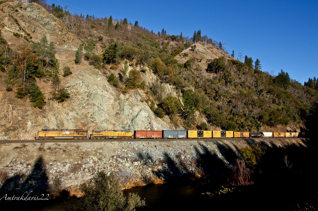
Union Pacific Manifest Along the Rocks at Pulga

Fire Material
Hwy 70 North Fork Feather River Bridge (Built 1932), Pulga, CA
Bear Ranch Creek Falls
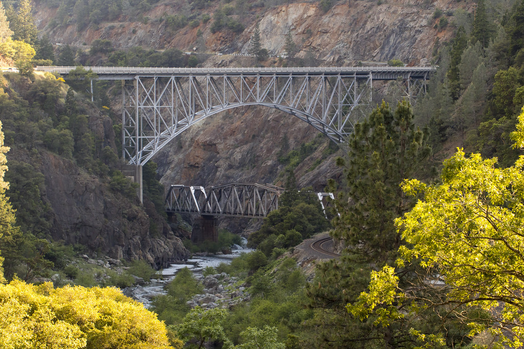
BNSF Railway Tackles the Feather River Canyon
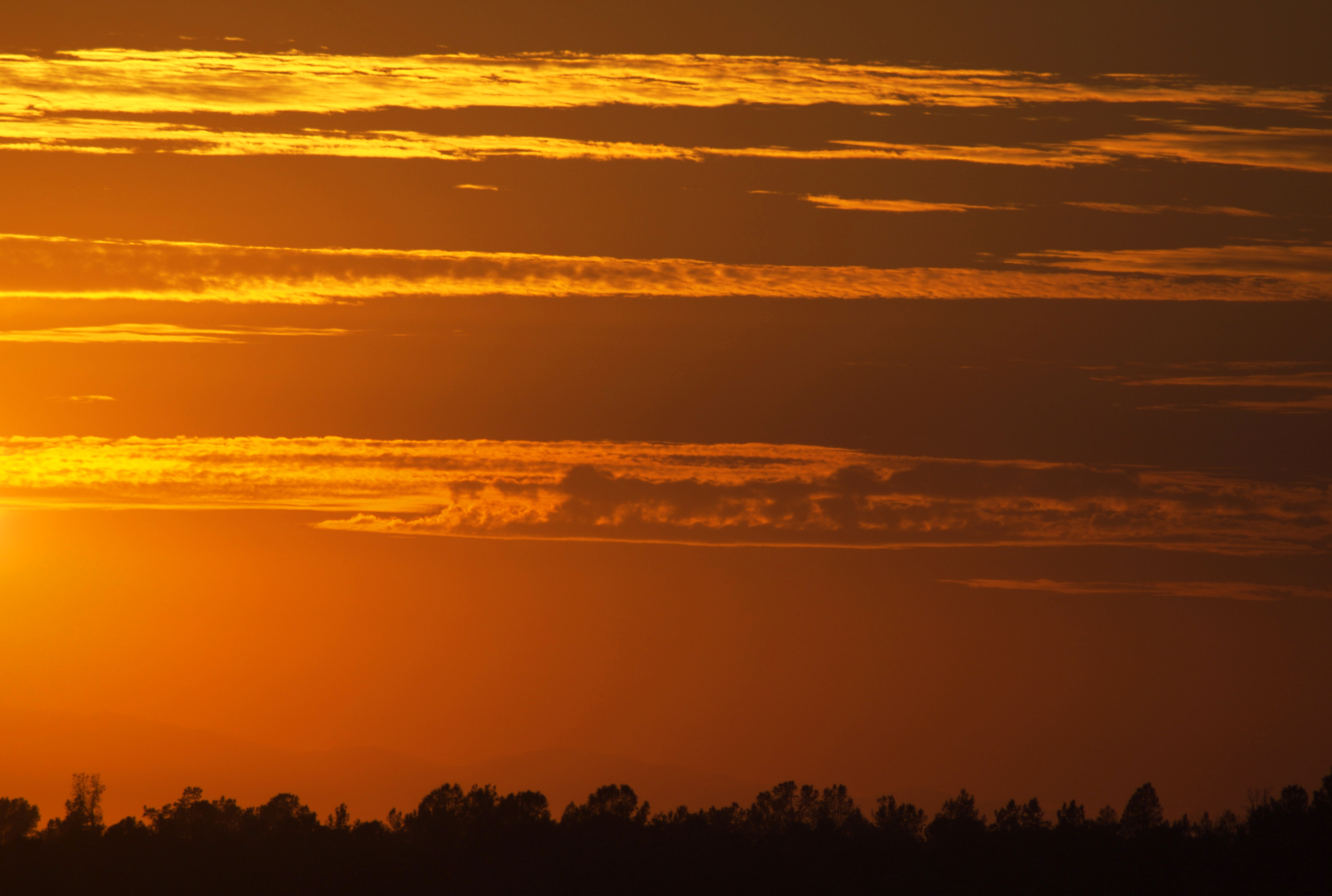
Sky ablaze
Death Points the Way
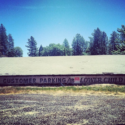
lower child?

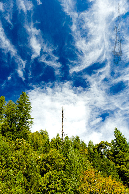
Morning Clouds

Phantom Falls
Dancing Trees
Topographic Map of Andy Mountain Rd, Oroville, CA, USA
Find elevation by address:

Places near Andy Mountain Rd, Oroville, CA, USA:
Barbees Bar Rd, Oroville, CA, USA
Barbees Bar Road
12220 Concow Rd
11593 Windy Hill Dr
50 Covelo Ct
13424 Hog Ranch Rd
Concow
5110 Pentz Rd
1932 Crandall Way
Pulga Rd, Oroville, CA, USA
1870 Del Rio Way
1869 Del Rio Way
5208 Trafalgar Square
1868 Norwood Dr
5685 Chaney Ln
4979 Malibu Dr
2210 Thornburg Rd
Paige Lane
1782 Stearns Rd
1721 Ellis Dr
Recent Searches:
- Elevation of Unnamed Road, Respublika Severnaya Osetiya — Alaniya, Russia
- Elevation of Verkhny Fiagdon, North Ossetia–Alania Republic, Russia
- Elevation of F. Viola Hiway, San Rafael, Bulacan, Philippines
- Elevation of Herbage Dr, Gulfport, MS, USA
- Elevation of Lilac Cir, Haldimand, ON N3W 2G9, Canada
- Elevation of Harrod Branch Road, Harrod Branch Rd, Kentucky, USA
- Elevation of Wyndham Grand Barbados Sam Lords Castle All Inclusive Resort, End of Belair Road, Long Bay, Bridgetown Barbados
- Elevation of Iga Trl, Maggie Valley, NC, USA
- Elevation of N Co Rd 31D, Loveland, CO, USA
- Elevation of Lindever Ln, Palmetto, FL, USA