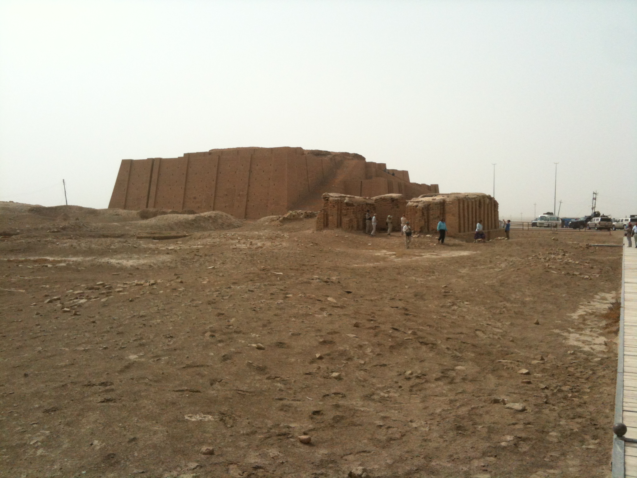
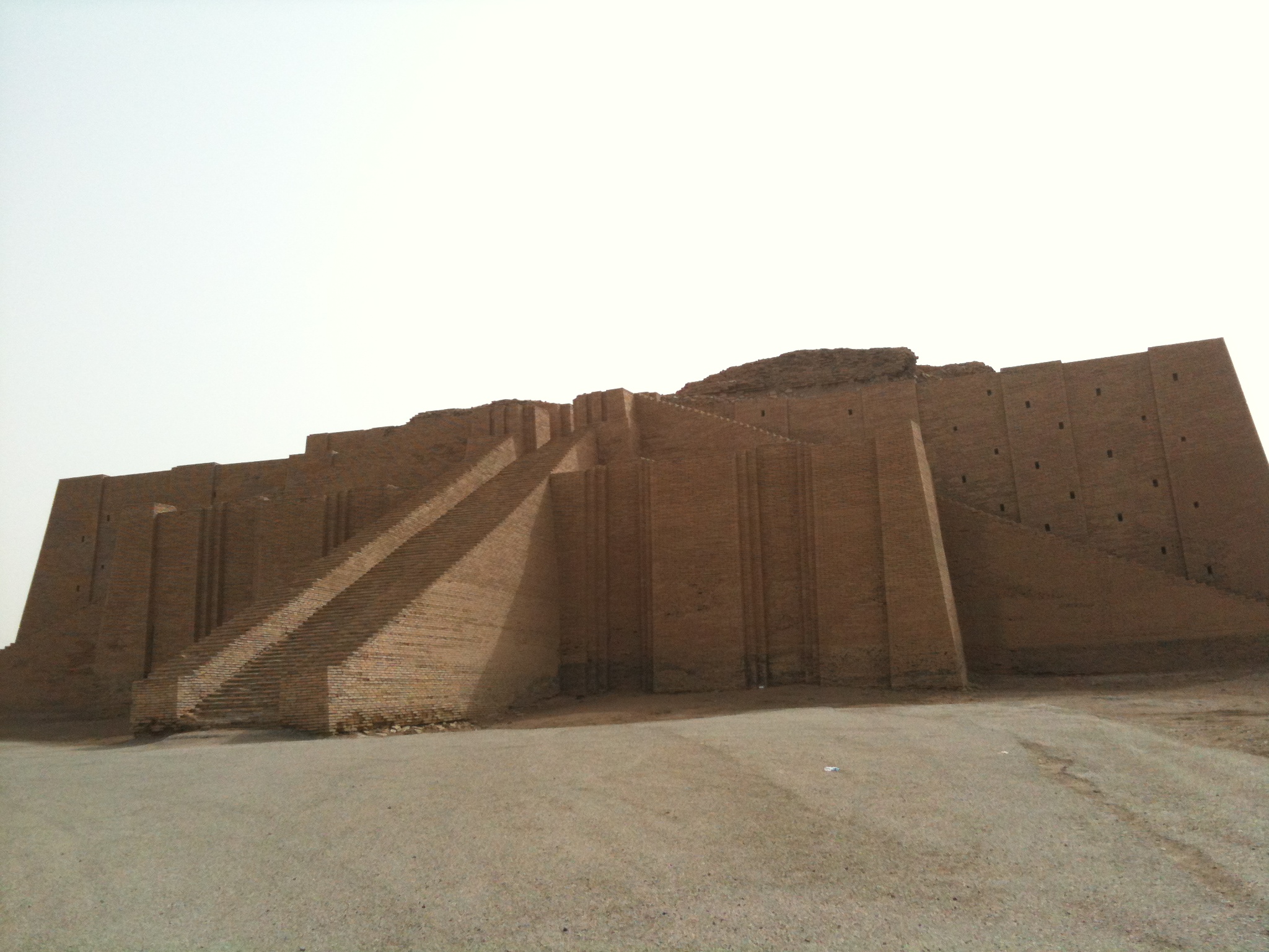
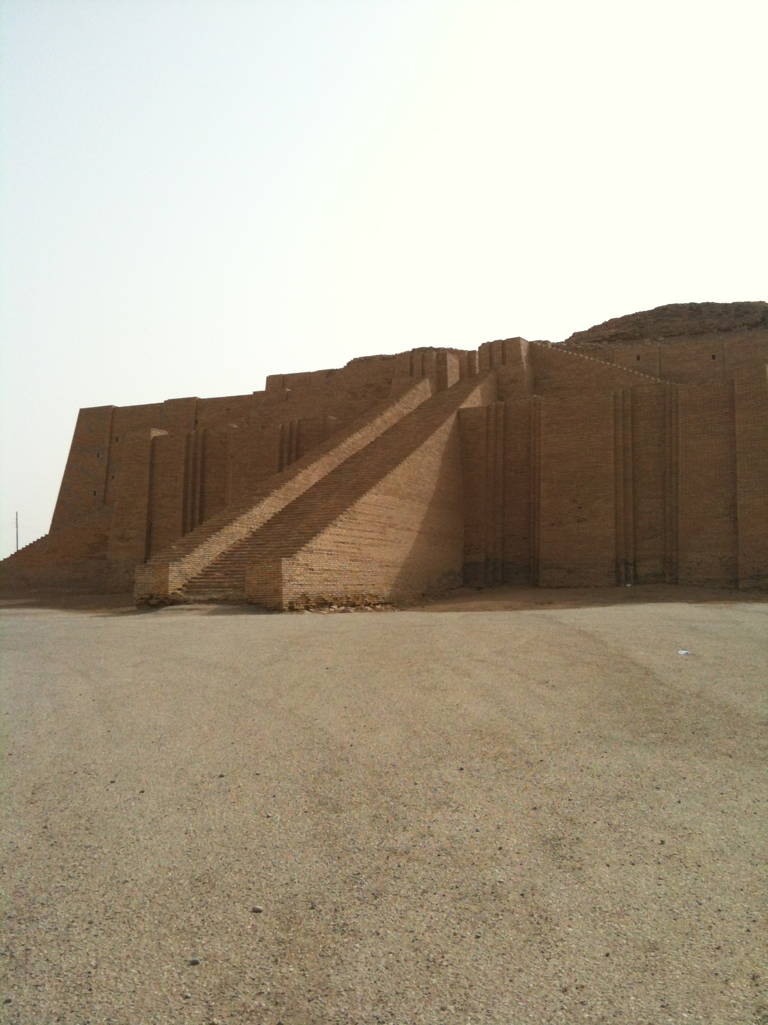
Elevation of Ancient Ruins Of Ur, Iraq
Location: Iraq > Dhi Qar Governorate > Nassriya >
Longitude: 46.1031966
Latitude: 30.9627505
Elevation: 18m / 59feet
Barometric Pressure: 101KPa
Elevation Map:
Satellite Map:
Related Photos:
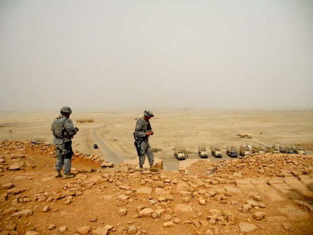
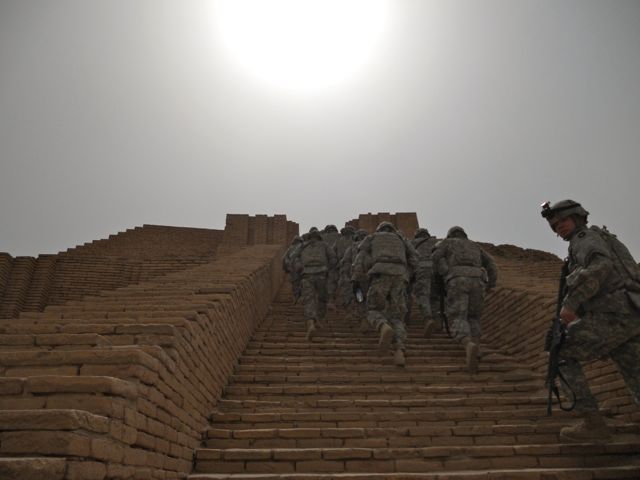
111001-A-NK733-017
111001-A-NK733-021
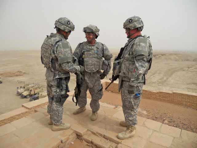
111001-A-NK733-019
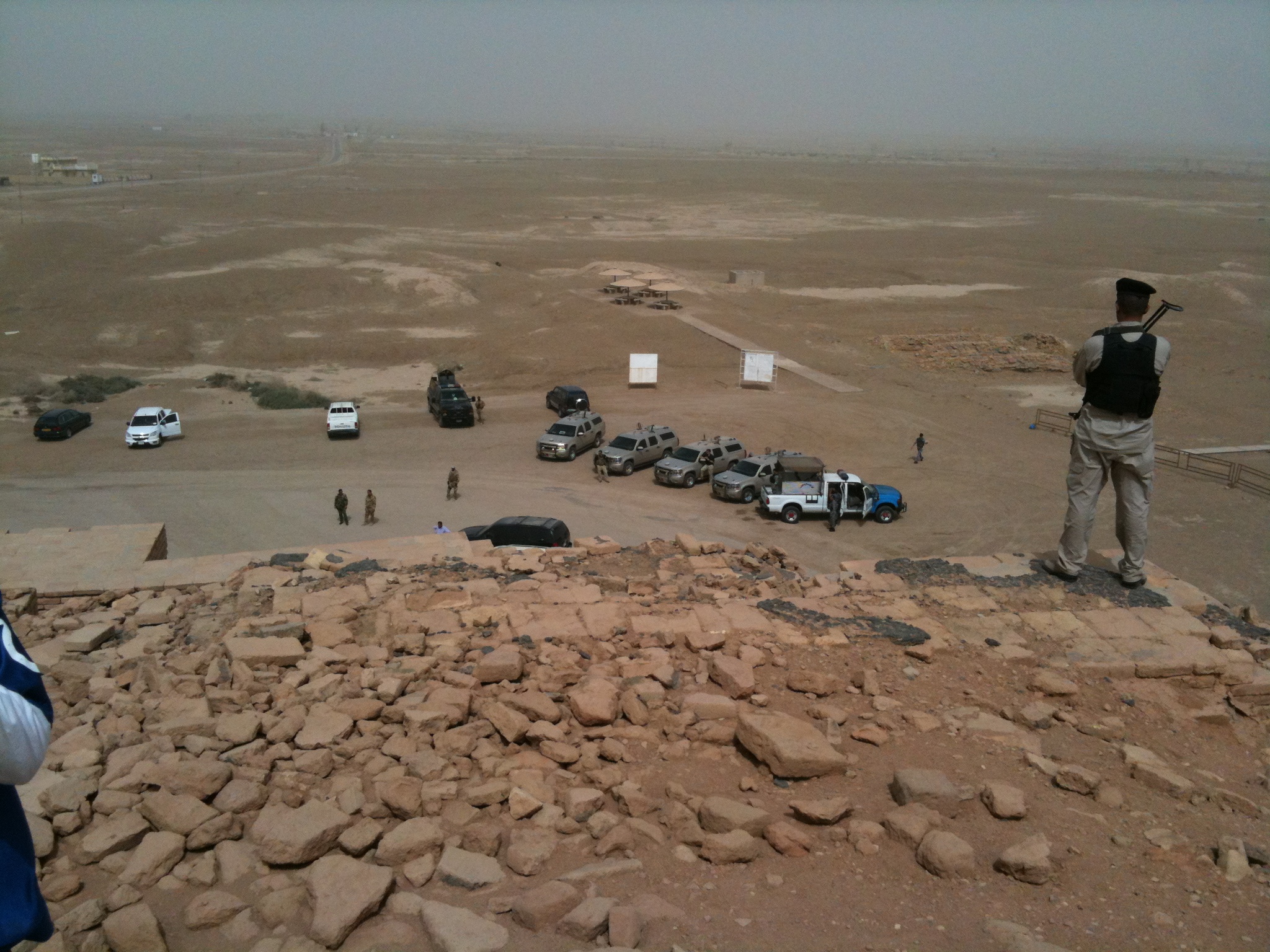
2013-04-17 001 2013-04-17 021
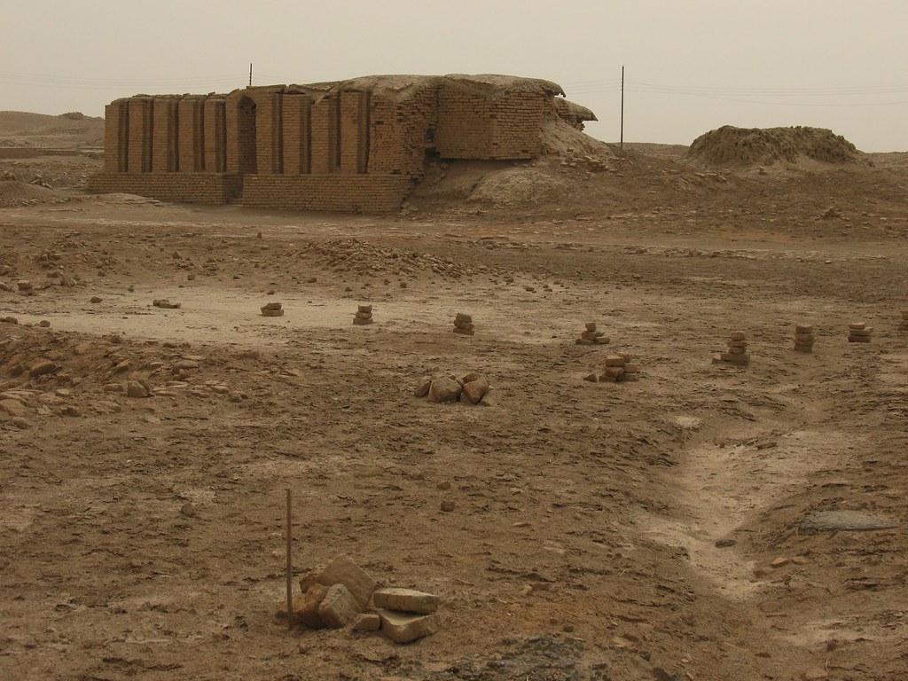
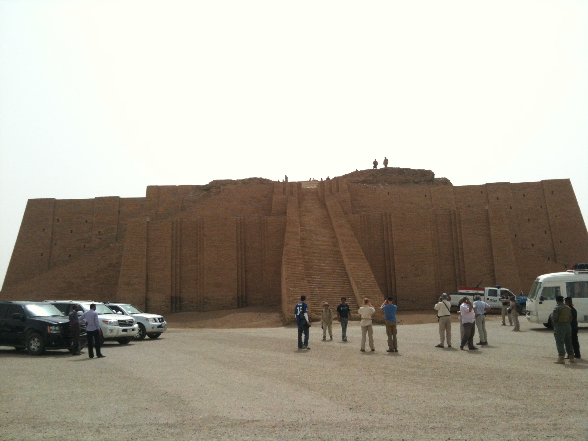
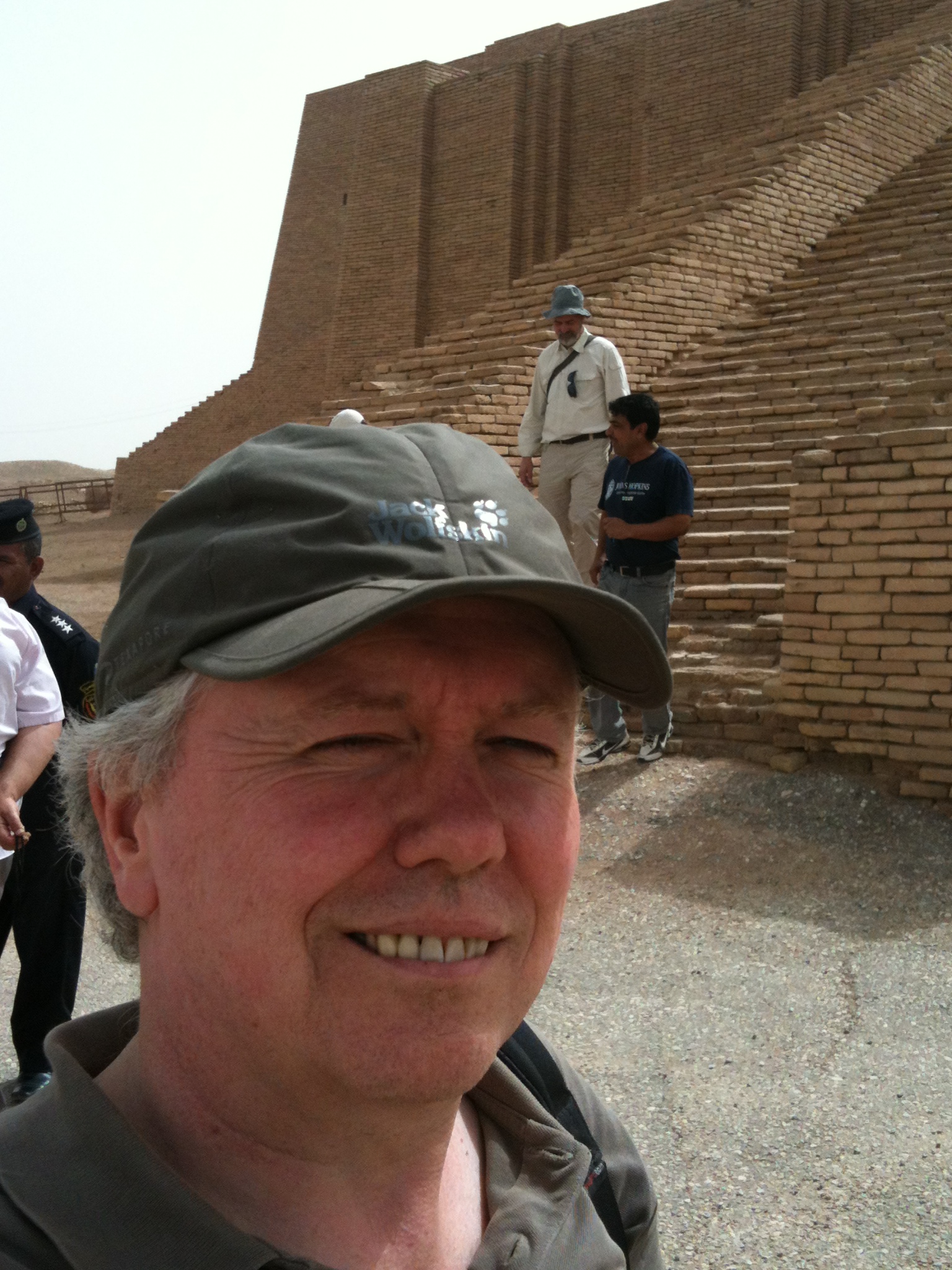
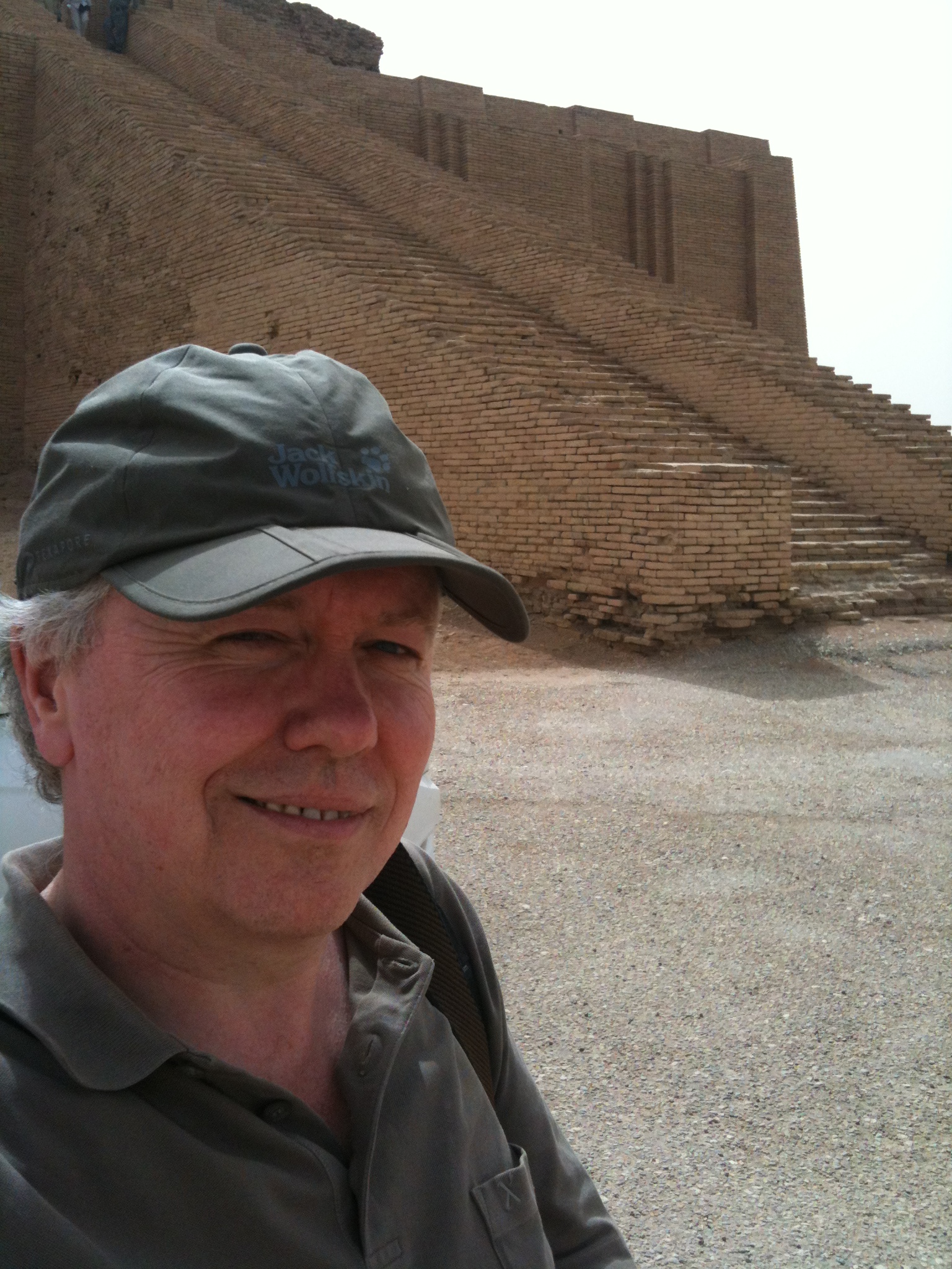
Ur Ziggurat 2009-03-25~05.jpg
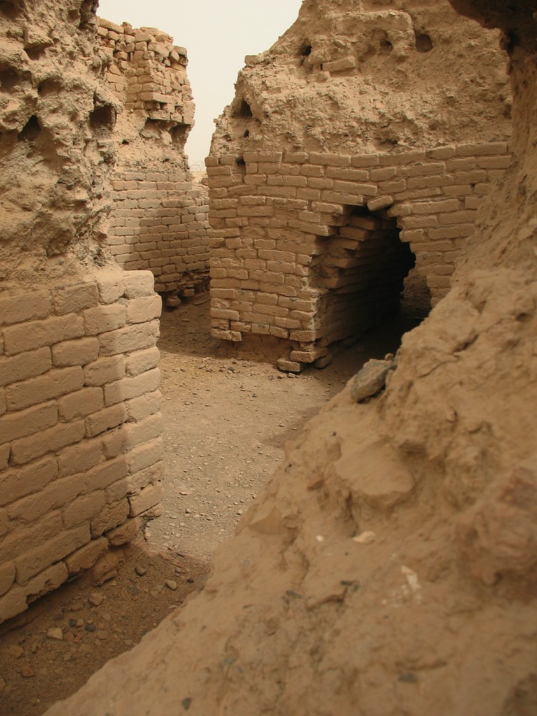
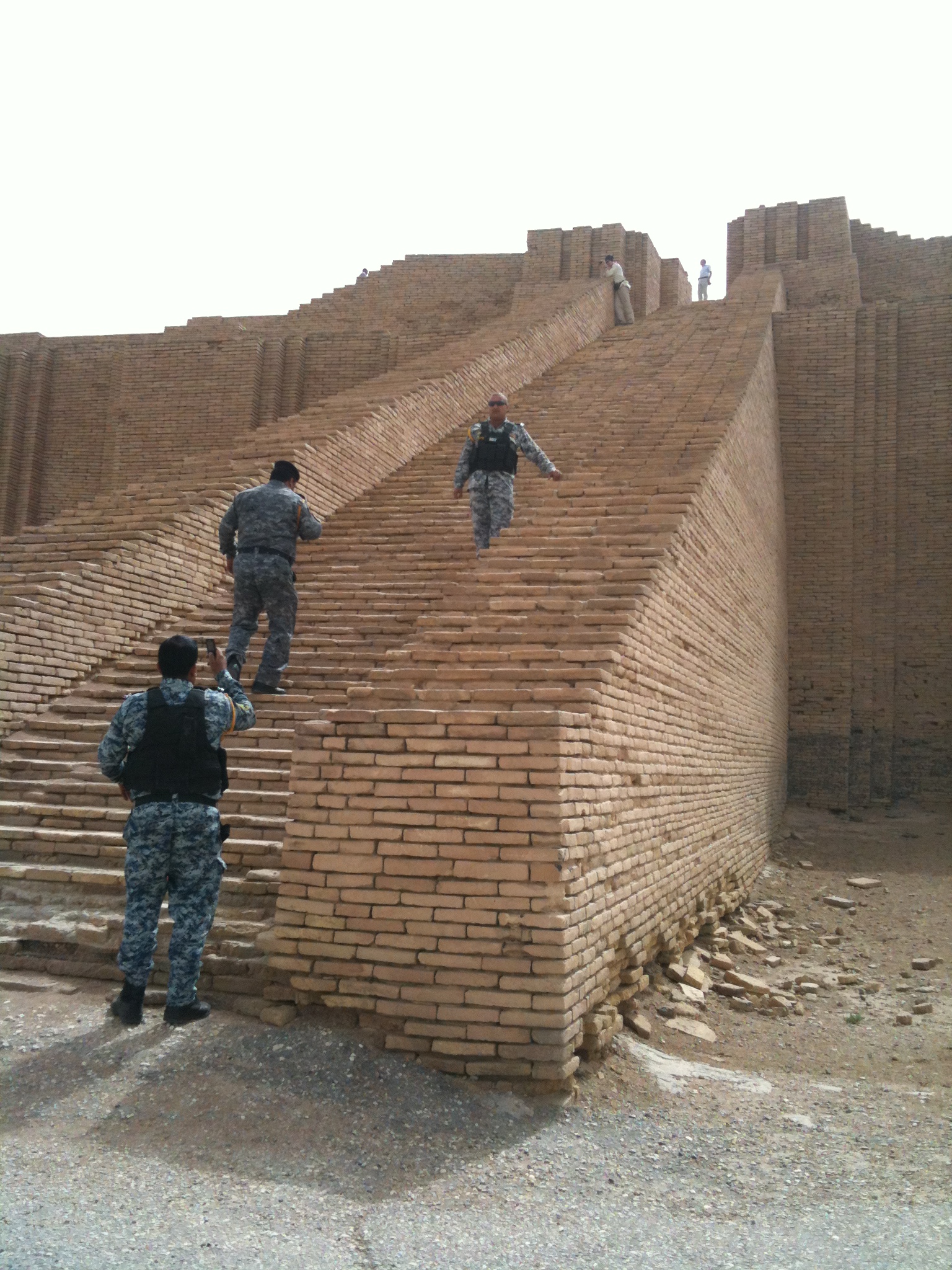
Ur Ziggurat 2009-03-25~36.jpg
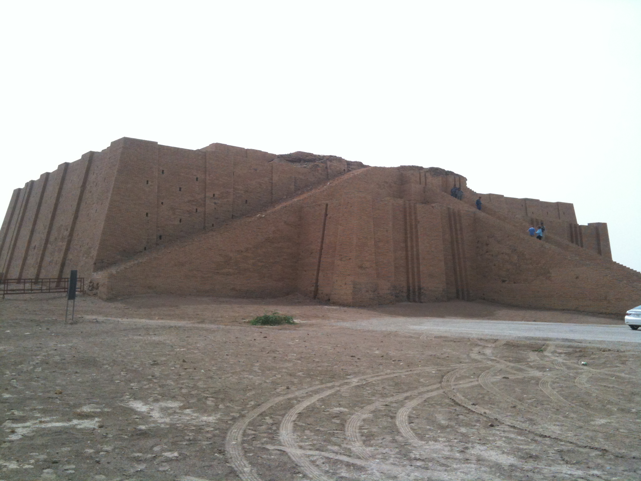
031 Tallil Iraq
Graduating day of Thi Qar university 2013-2014.
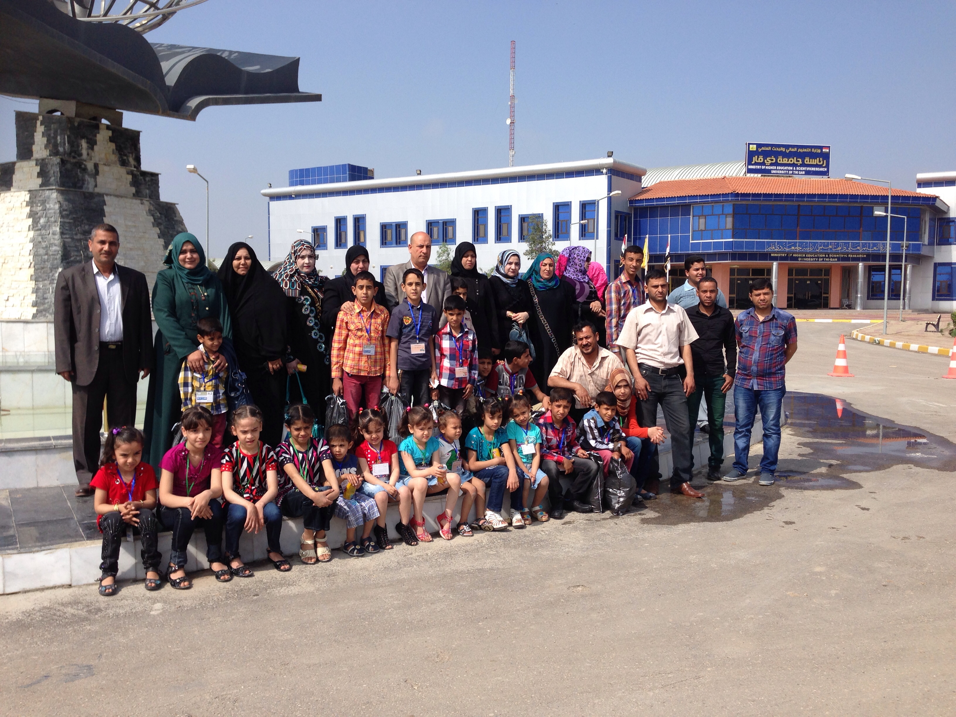
With orphans of my city

2013-04-17 001 2013-04-17 018
2013-04-17 001 2013-04-17 019
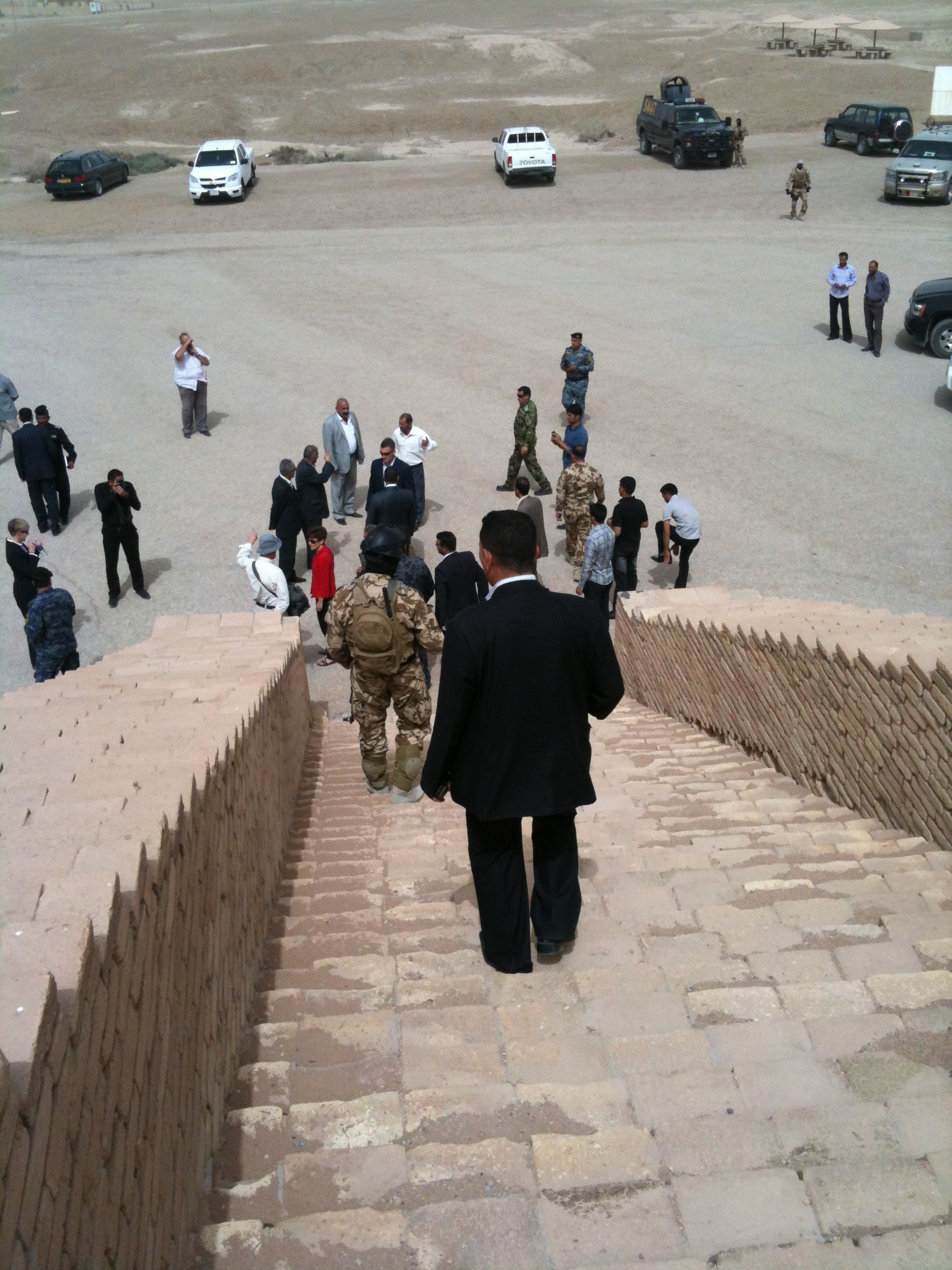
2013-04-17 001 2013-04-17 020

2013-04-17 001 2013-04-17 022
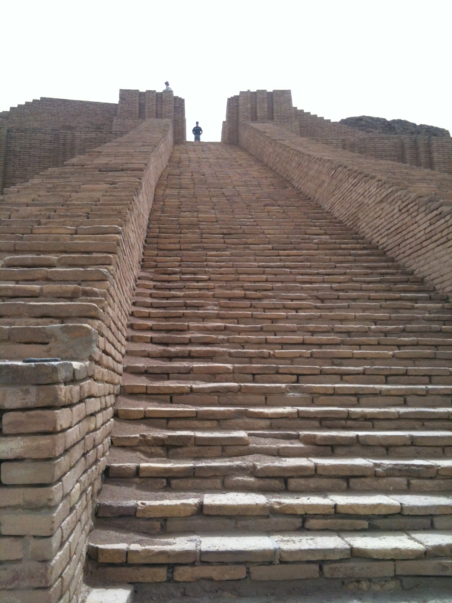
2013-04-17 001 2013-04-17 023
2013-04-17 001 2013-04-17 025
2013-04-17 001 2013-04-17 026

2013-04-17 001 2013-04-17 027
2013-04-17 001 2013-04-17 028
2013-04-17 001 2013-04-17 029
2013-04-17 001 2013-04-17 030
2013-04-17 001 2013-04-17 031
2013-04-17 001 2013-04-17 032

044 Tallil sunset
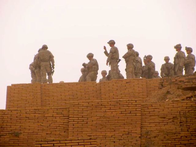
111001-A-NK733-028
111001-A-NK733-027
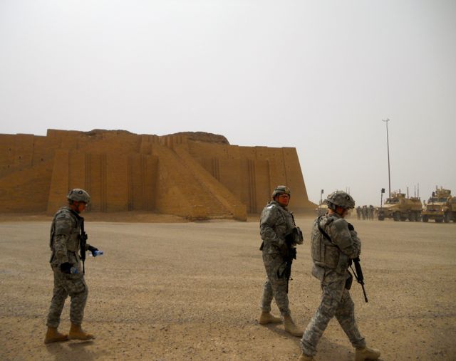
111001-A-NK733-025
Topographic Map of Ancient Ruins Of Ur, Iraq
Find elevation by address:

Places near Ancient Ruins Of Ur, Iraq:
Nasiriyah
Dhi Qar Governorate
Shatrah
البدعة
ِal Nasiriyah Water Treatment Plant
Al-shatra
Uruk
Al-khidhir
الوركاء
Tall Fa'rah
Al-rumaitha
Uruk
Afaq
Al-qādisiyyah Governorate
Recent Searches:
- Elevation of 62 Abbey St, Marshfield, MA, USA
- Elevation of Fernwood, Bradenton, FL, USA
- Elevation of Felindre, Swansea SA5 7LU, UK
- Elevation of Leyte Industrial Development Estate, Isabel, Leyte, Philippines
- Elevation of W Granada St, Tampa, FL, USA
- Elevation of Pykes Down, Ivybridge PL21 0BY, UK
- Elevation of Jalan Senandin, Lutong, Miri, Sarawak, Malaysia
- Elevation of Bilohirs'k
- Elevation of 30 Oak Lawn Dr, Barkhamsted, CT, USA
- Elevation of Luther Road, Luther Rd, Auburn, CA, USA