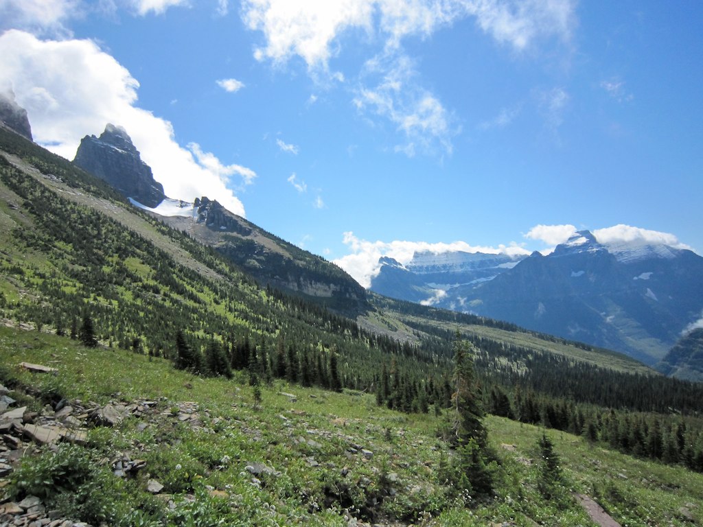
Elevation of Anaconda Peak, Montana, USA
Location: United States > Montana > West Glacier >
Longitude: -113.97345
Latitude: 48.7683066
Elevation: 2414m / 7920feet
Barometric Pressure: 75KPa
Elevation Map:
Satellite Map:
Related Photos:
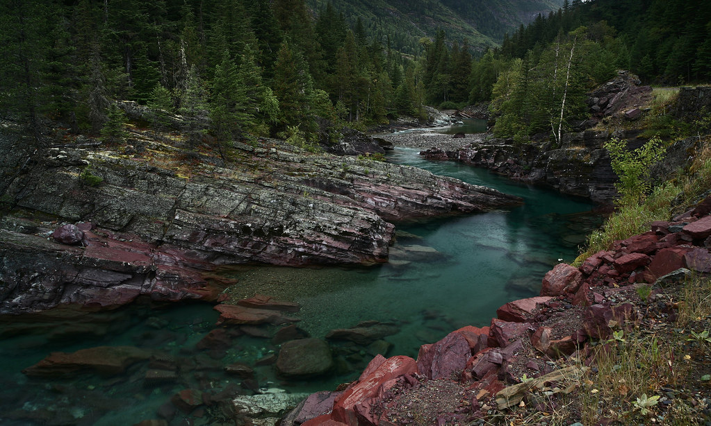
Red Rock Point
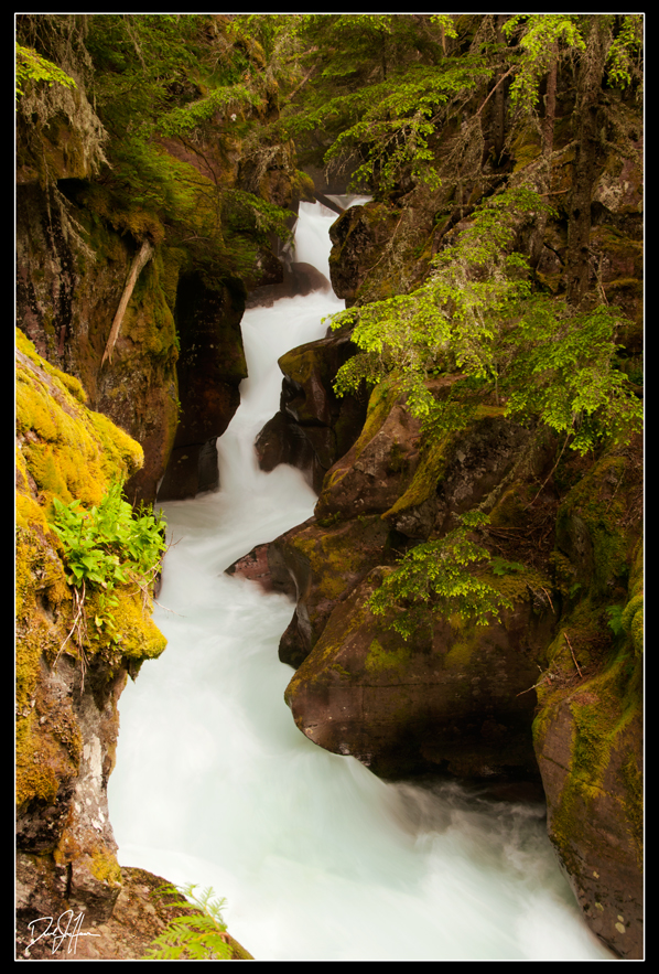
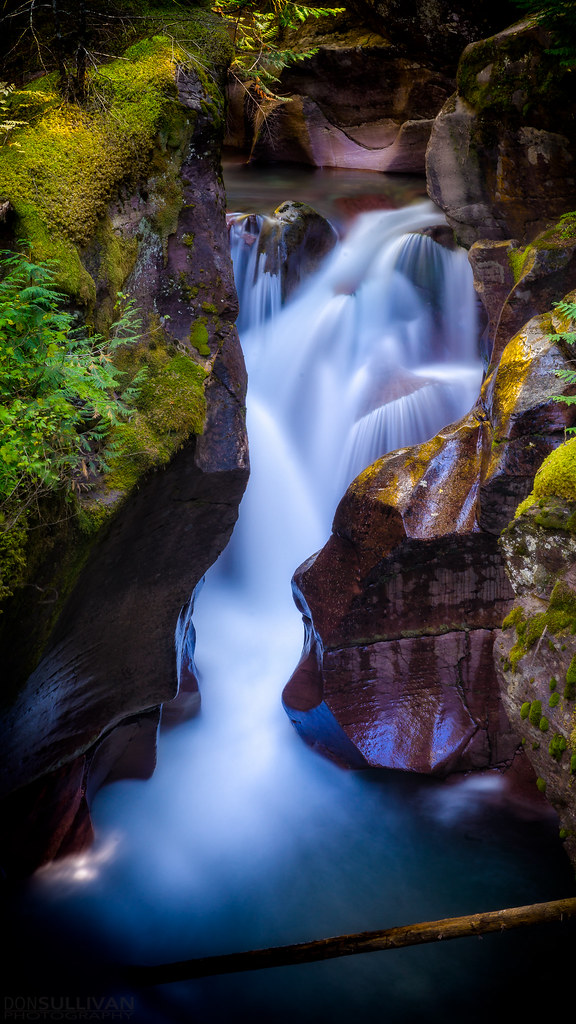
Avalanche Gorge-ous
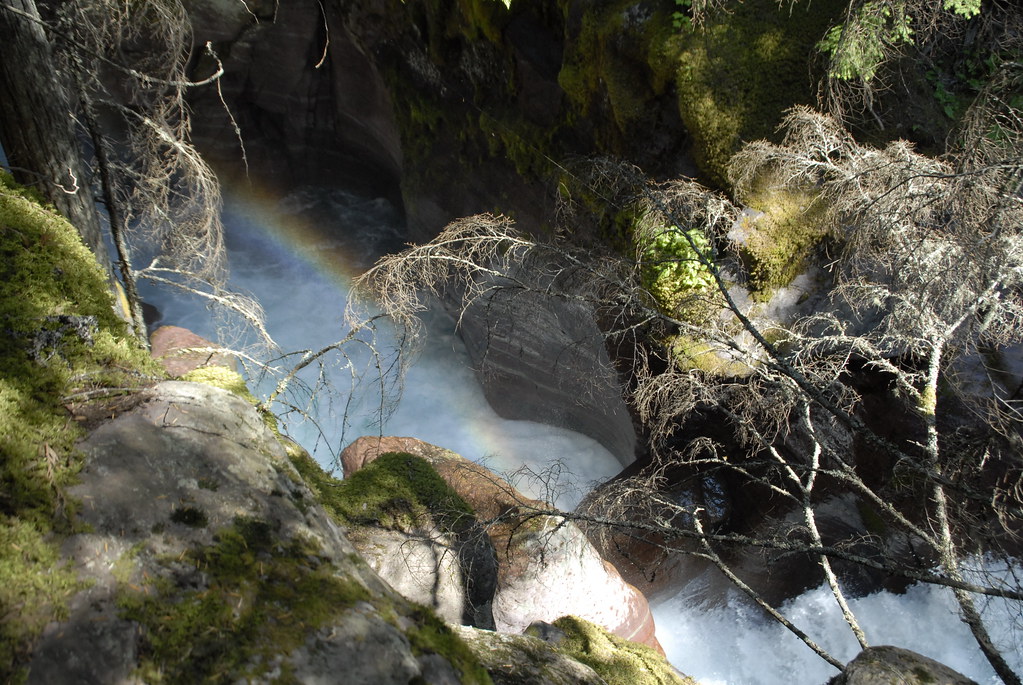
Trail of the Cedars 29 - Avalanche Gorge
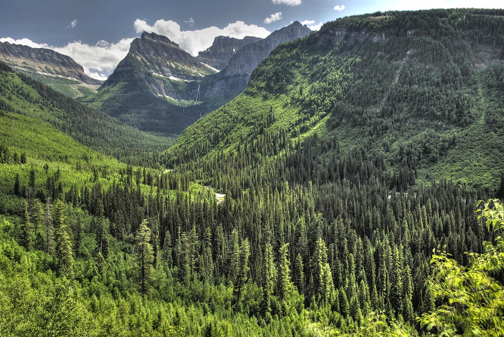
MacDonald Valley, Glacier NP
Avalanche Creek
Going to the Sun Road
IMG_2056 (2)

View: Trail of the Cedars

View: Trail of the Cedars

View: Trail of the Cedars

Alpine Setting R348N22

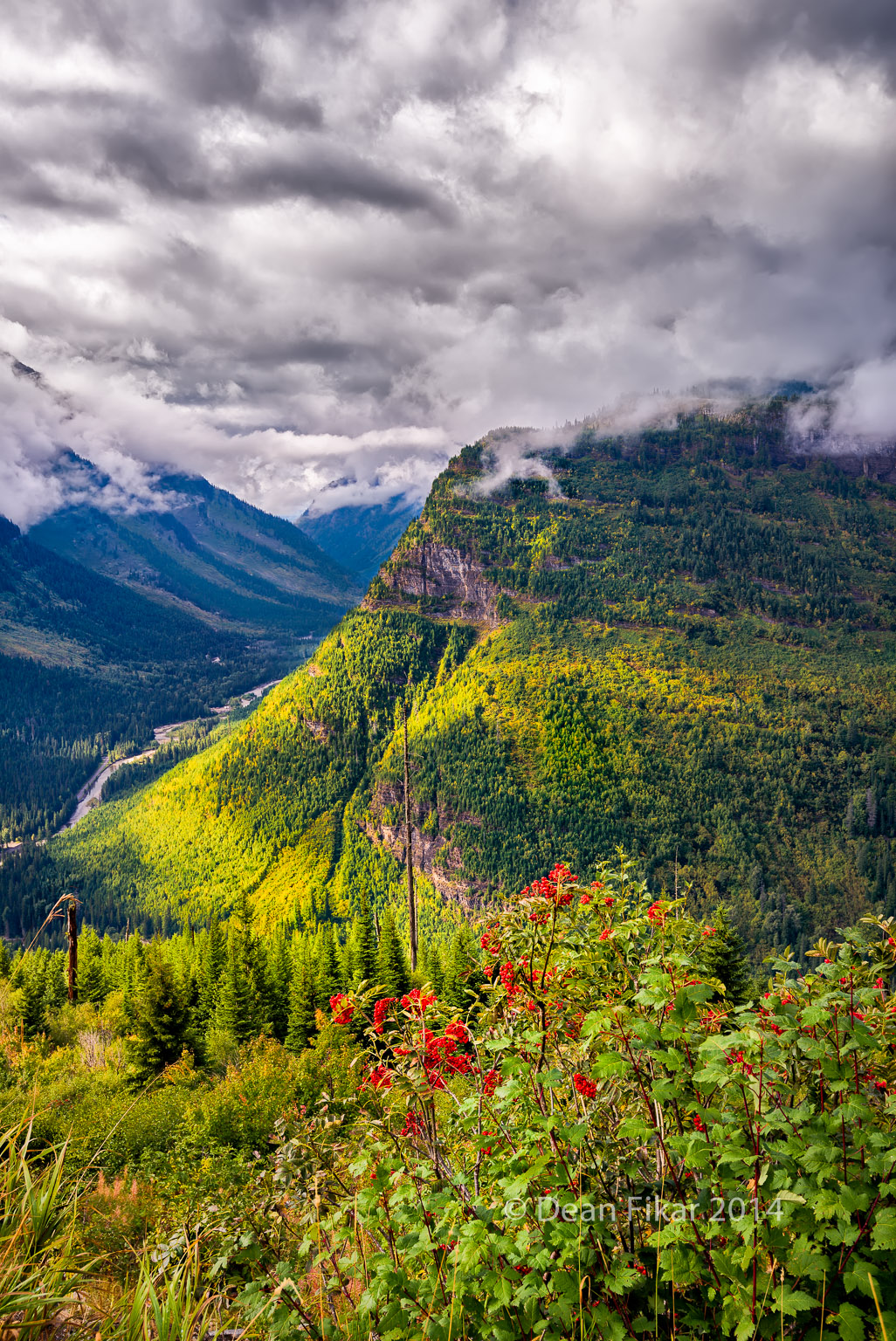
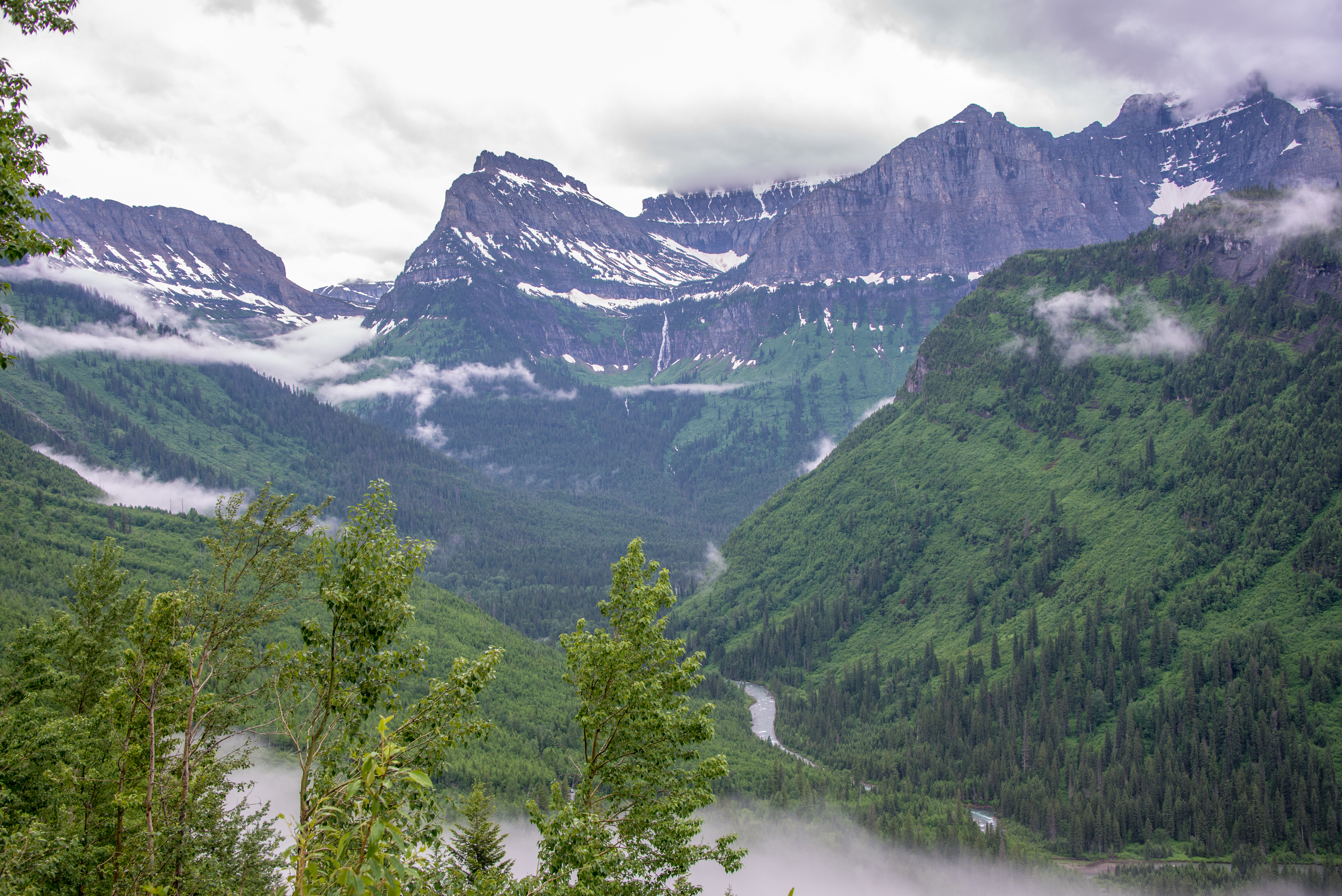
Stunning Views Along the Going to the Sun Road

Stunning Views Along the Going to the Sun Road
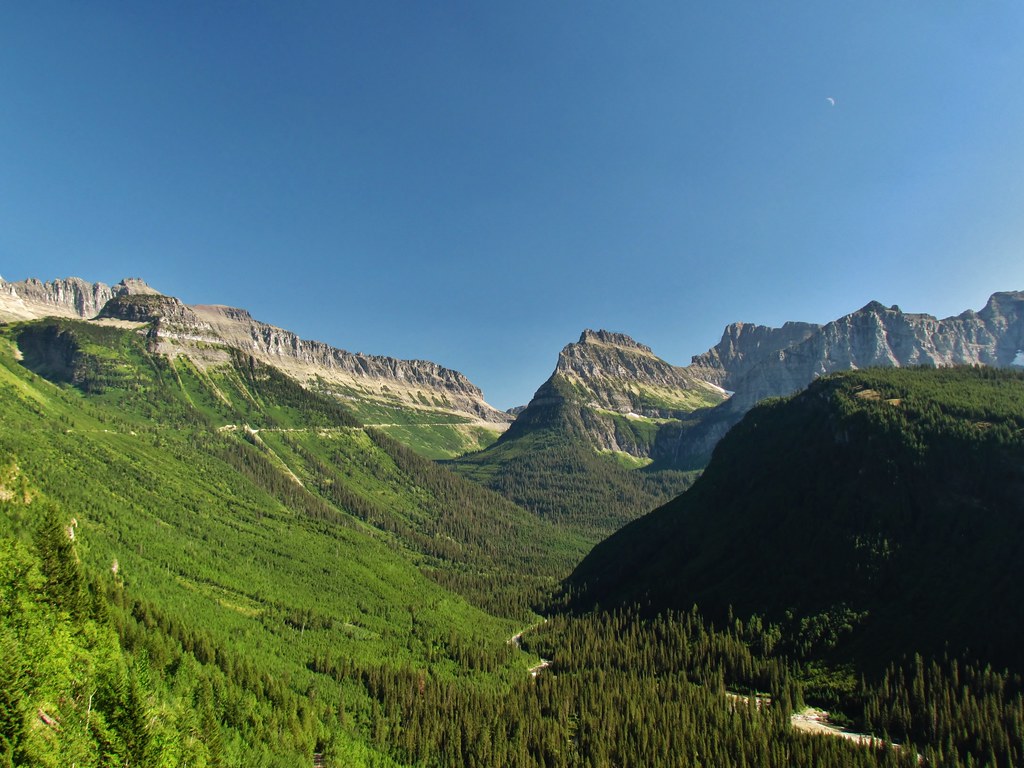
Going-to-the-Sun Road
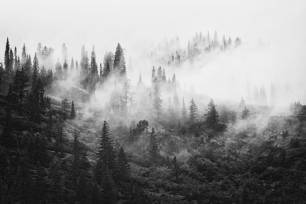
through the mist the forests rise

Stunning Views Along the Going to the Sun Road
View from Going-to-the-Sun Road
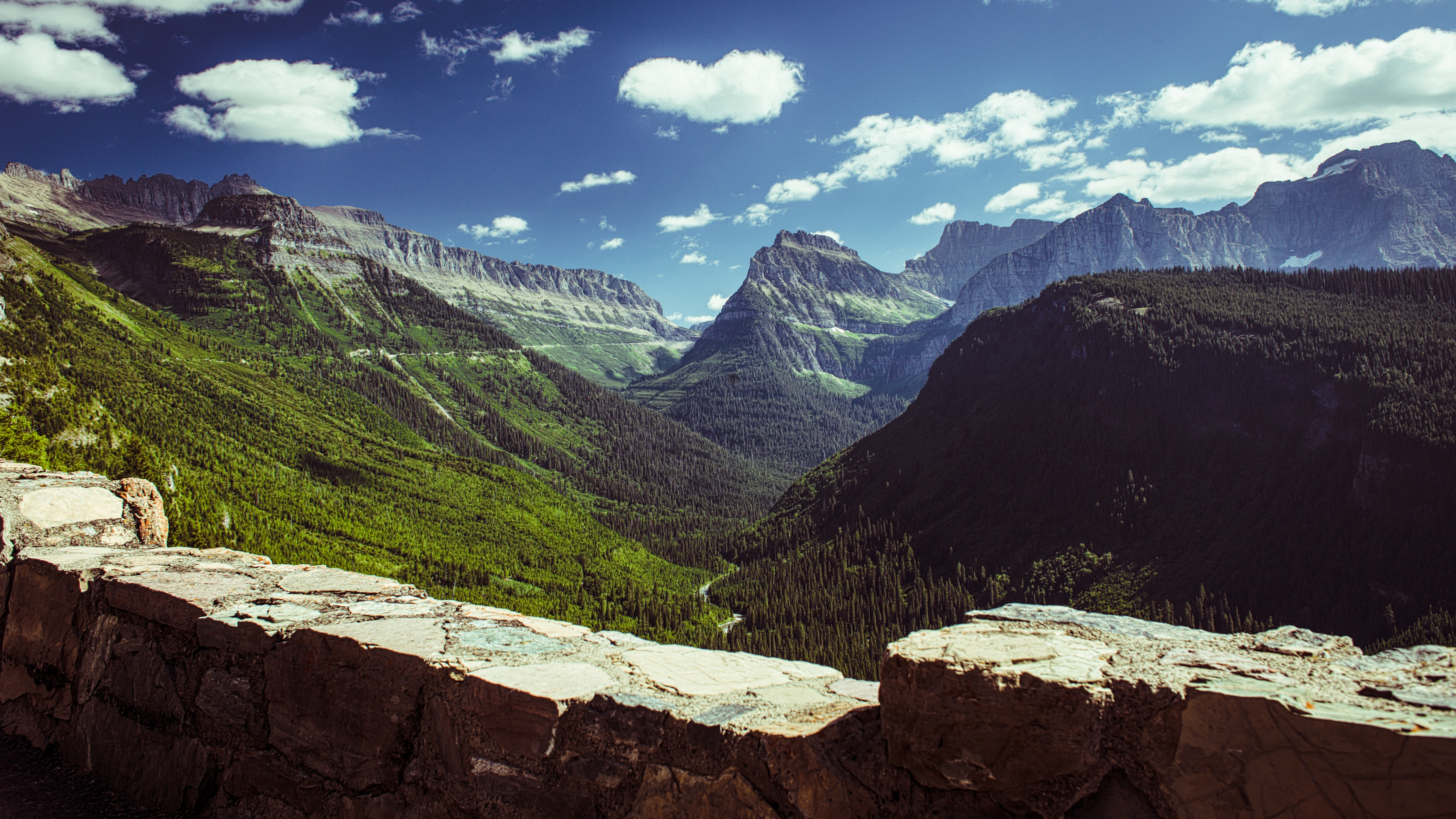
The Garden Wall

Stunning Views Along the Going to the Sun Road
Through the green
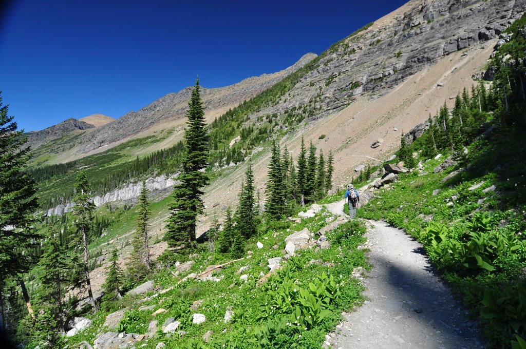
View along Highline Trail
Topographic Map of Anaconda Peak, Montana, USA
Find elevation by address:

Places near Anaconda Peak, Montana, USA:
Mount Geduhn
Wolf Gun Mountain
Grace Lake Campground
Longfellow Peak
Dutch Ridge
Nahsukin Mountain
Adair Campground
Logging Mountain
Vulture Peak
Rogers Peak
Redhorn Peak
Kootenai Peak
Porcupine Ridge
Quartz Lake
The Guardhouse
Cerulean Ridge South
Cerulean Ridge North
Porcupine Ridge East
Rainbow Peak
Citadel Peaks East
Recent Searches:
- Elevation of Corso Fratelli Cairoli, 35, Macerata MC, Italy
- Elevation of Tallevast Rd, Sarasota, FL, USA
- Elevation of 4th St E, Sonoma, CA, USA
- Elevation of Black Hollow Rd, Pennsdale, PA, USA
- Elevation of Oakland Ave, Williamsport, PA, USA
- Elevation of Pedrógão Grande, Portugal
- Elevation of Klee Dr, Martinsburg, WV, USA
- Elevation of Via Roma, Pieranica CR, Italy
- Elevation of Tavkvetili Mountain, Georgia
- Elevation of Hartfords Bluff Cir, Mt Pleasant, SC, USA