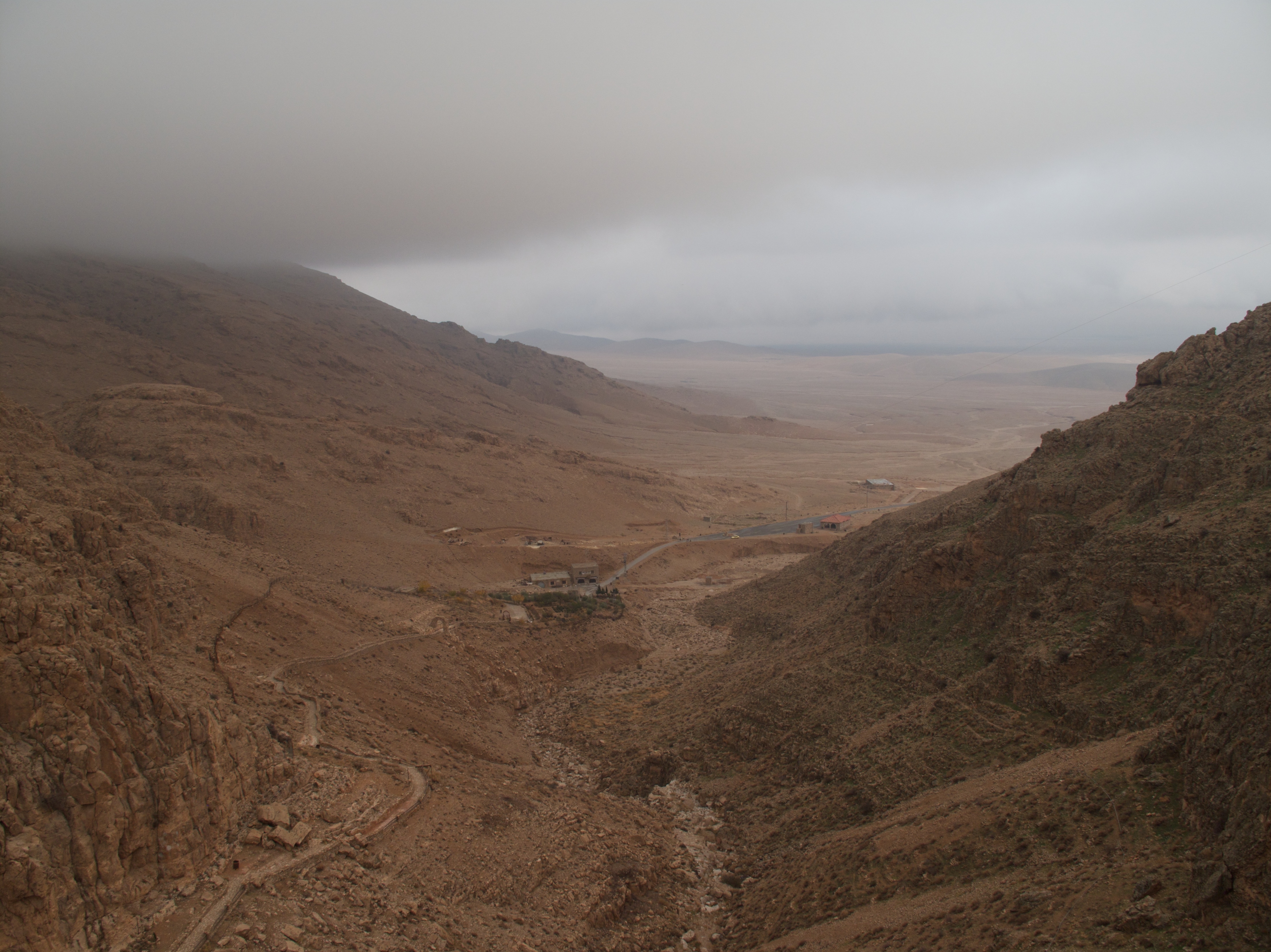
Elevation of An-Nabk District, Syria
Location: Syria > Rif-dimashq Governorate >
Longitude: 36.7388486
Latitude: 34.093281
Elevation: 1288m / 4226feet
Barometric Pressure: 87KPa
Elevation Map:
Satellite Map:
Related Photos:
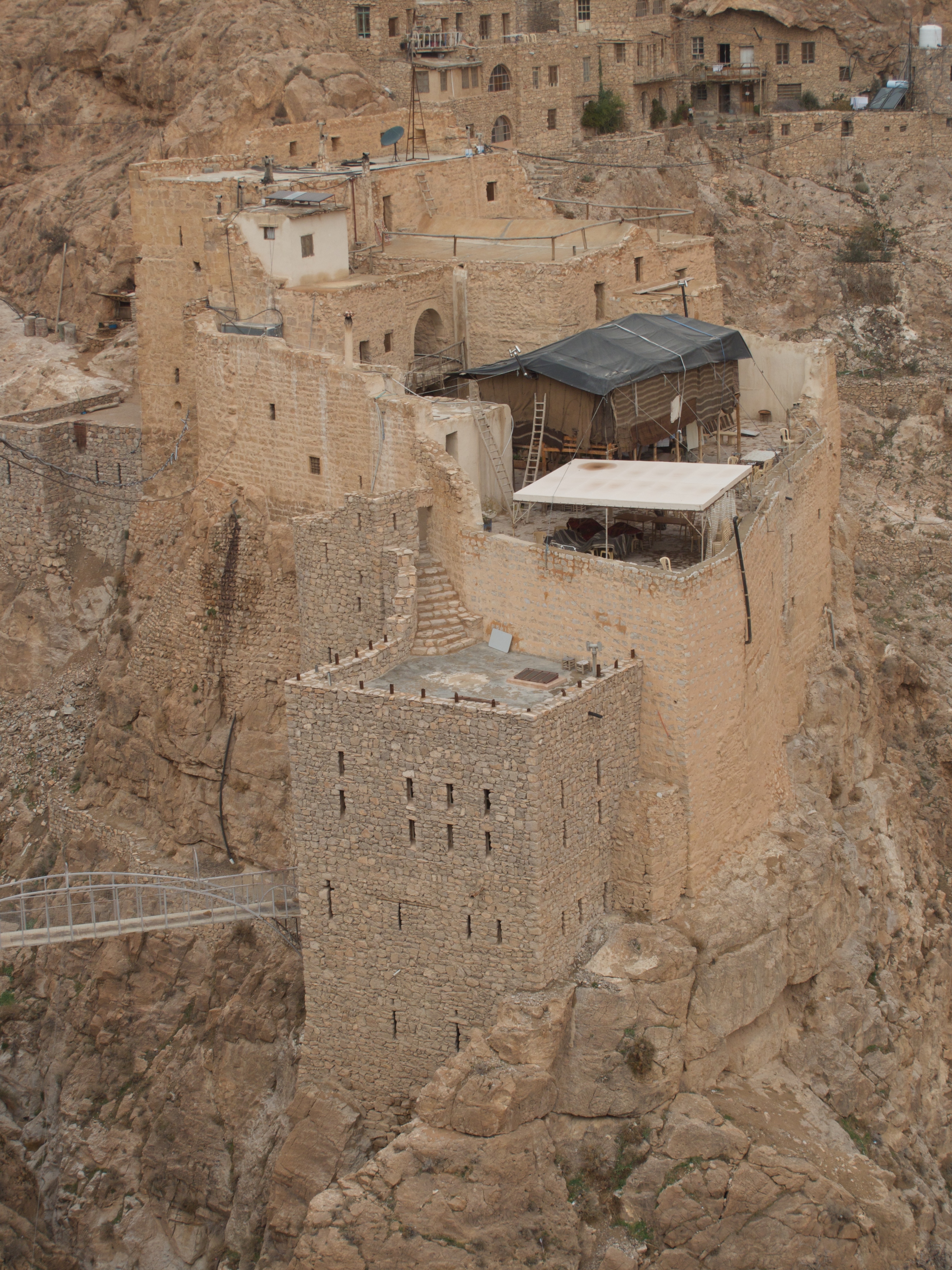
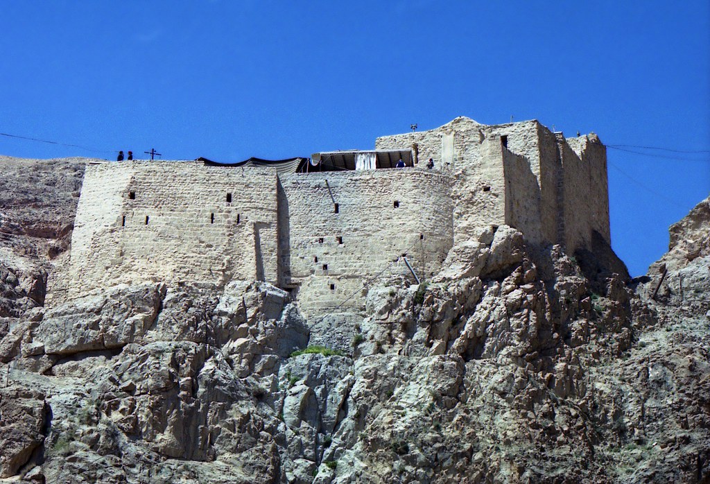
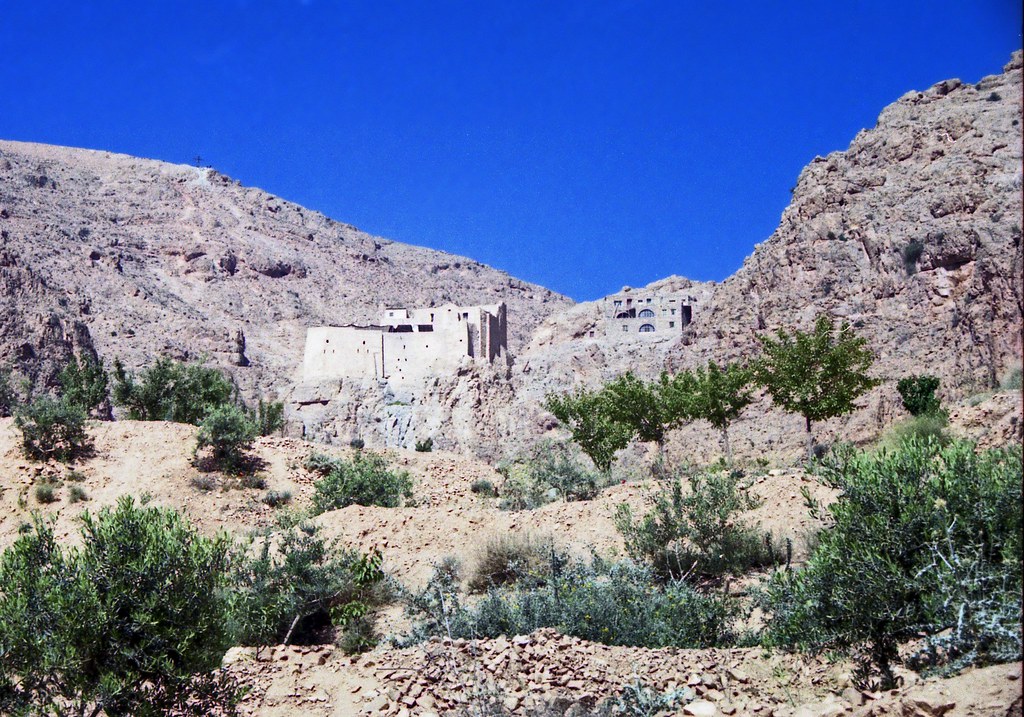
Mar Musa I
Mar Musa Mosiacs VI
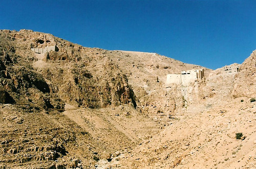
Mar Musa

Sunset in my hometown Al Nabk - Syria

Orthodox Church, Maaloula, Syria
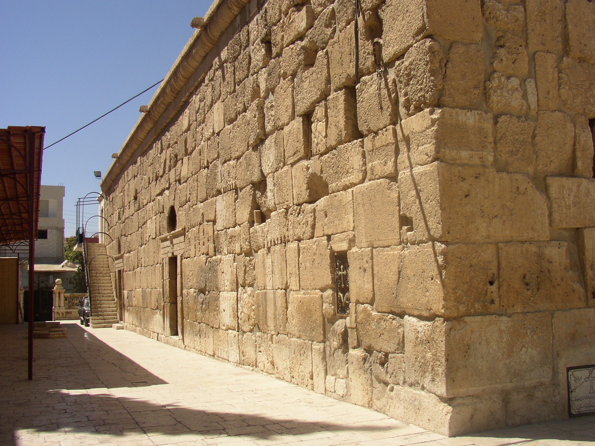
The Church of Constantine and Helen in Yabroud
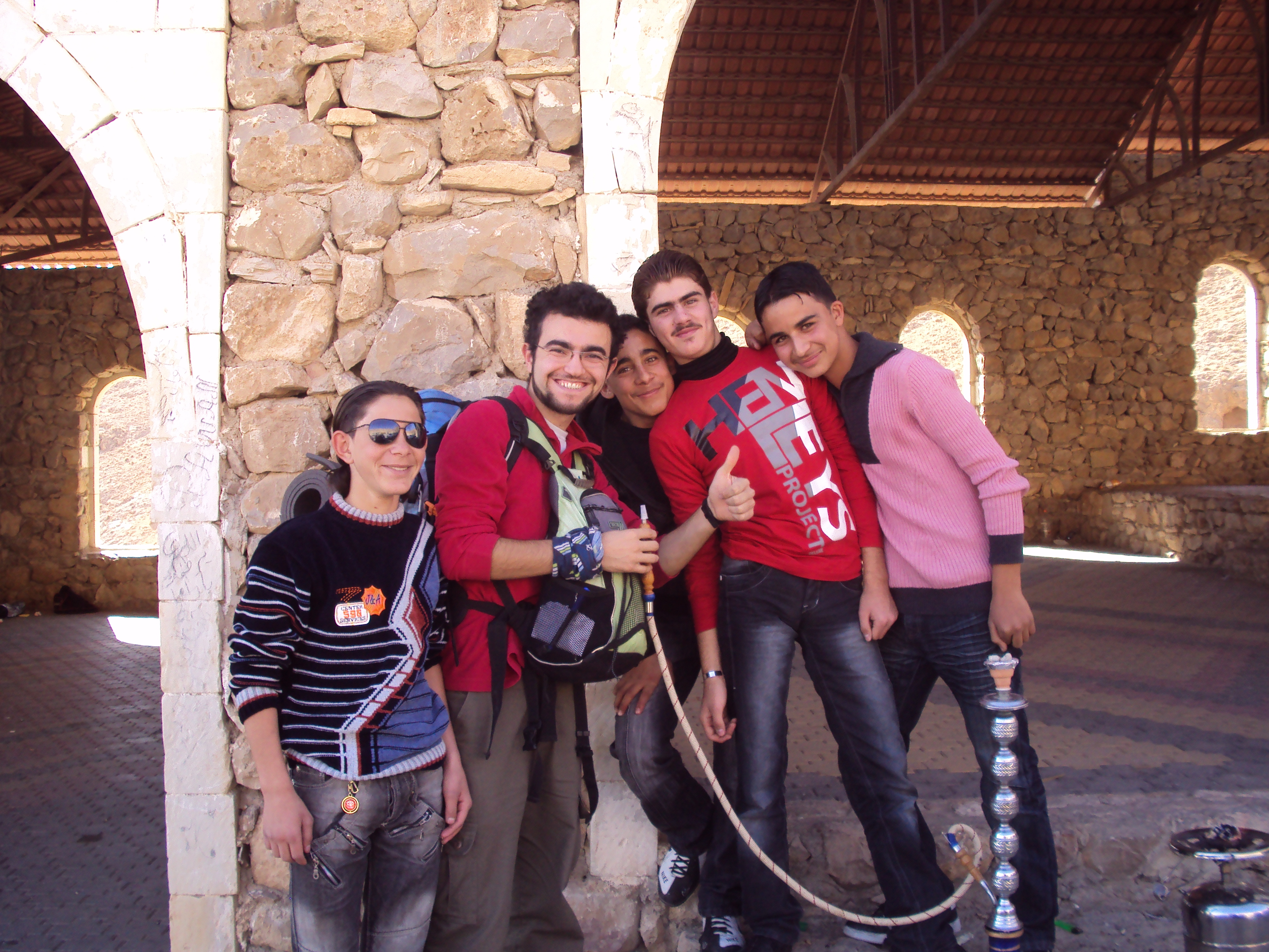
Smoking Nargile with Kids.
Topographic Map of An-Nabk District, Syria
Find elevation by address:

Places in An-Nabk District, Syria:
Places near An-Nabk District, Syria:
Recent Searches:
- Elevation of Corso Fratelli Cairoli, 35, Macerata MC, Italy
- Elevation of Tallevast Rd, Sarasota, FL, USA
- Elevation of 4th St E, Sonoma, CA, USA
- Elevation of Black Hollow Rd, Pennsdale, PA, USA
- Elevation of Oakland Ave, Williamsport, PA, USA
- Elevation of Pedrógão Grande, Portugal
- Elevation of Klee Dr, Martinsburg, WV, USA
- Elevation of Via Roma, Pieranica CR, Italy
- Elevation of Tavkvetili Mountain, Georgia
- Elevation of Hartfords Bluff Cir, Mt Pleasant, SC, USA