Elevation of An der Poststraße, Germany
Location: Germany > Saxony-anhalt >
Longitude: 11.5502166
Latitude: 51.1642124
Elevation: 269m / 883feet
Barometric Pressure: 98KPa
Elevation Map:
Satellite Map:
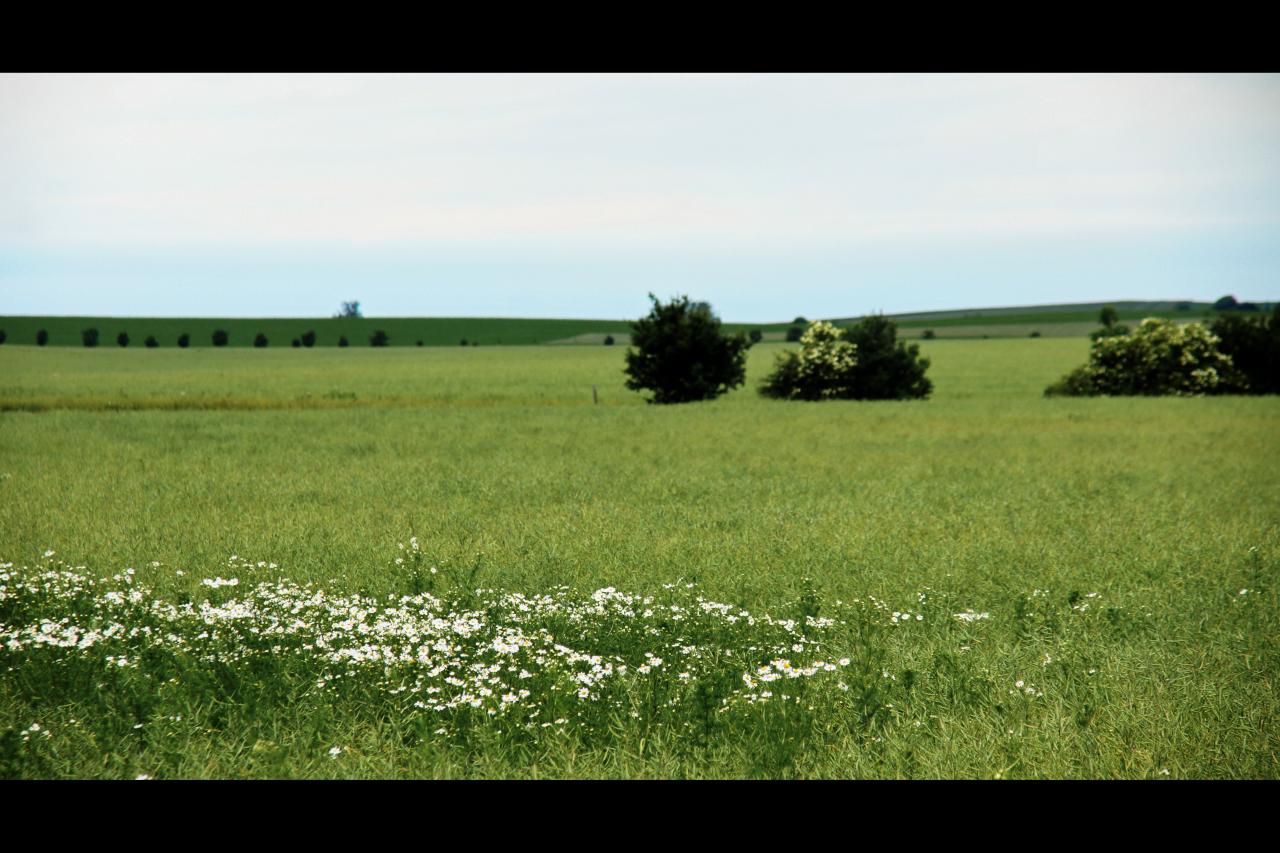
Related Photos:

Weingut Pawis :: Stereoscopic Anaglyph HDR 3D ::
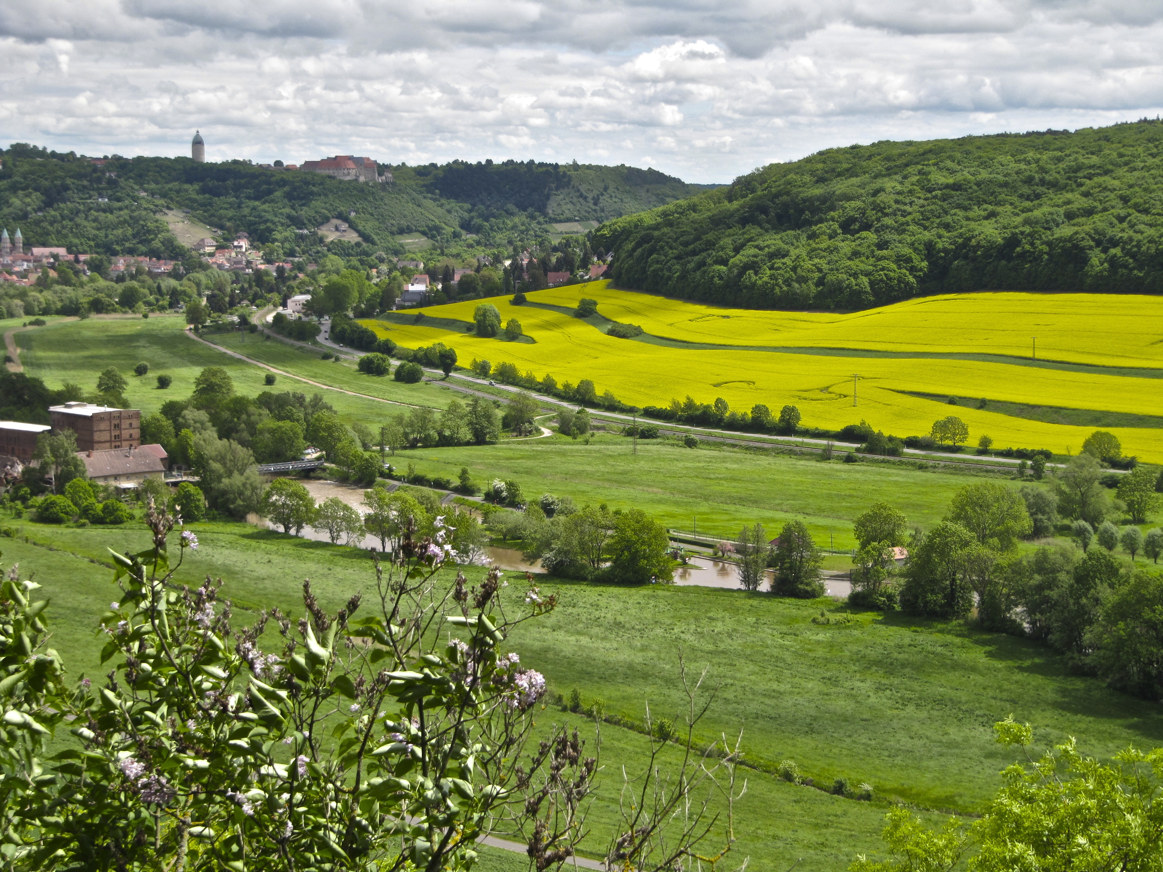
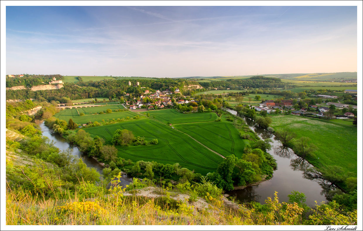
view of the valley of Freyburg

Sun's Castle in Bad Sulza, Thuringia, Germany / Sonnenburg Bad Sulza, Thüringen

View at zoo and spa of Bad Koesen

view of the valley of Freyburg

Song Thrush (Turdus philomelos) viewed Bad Koesen

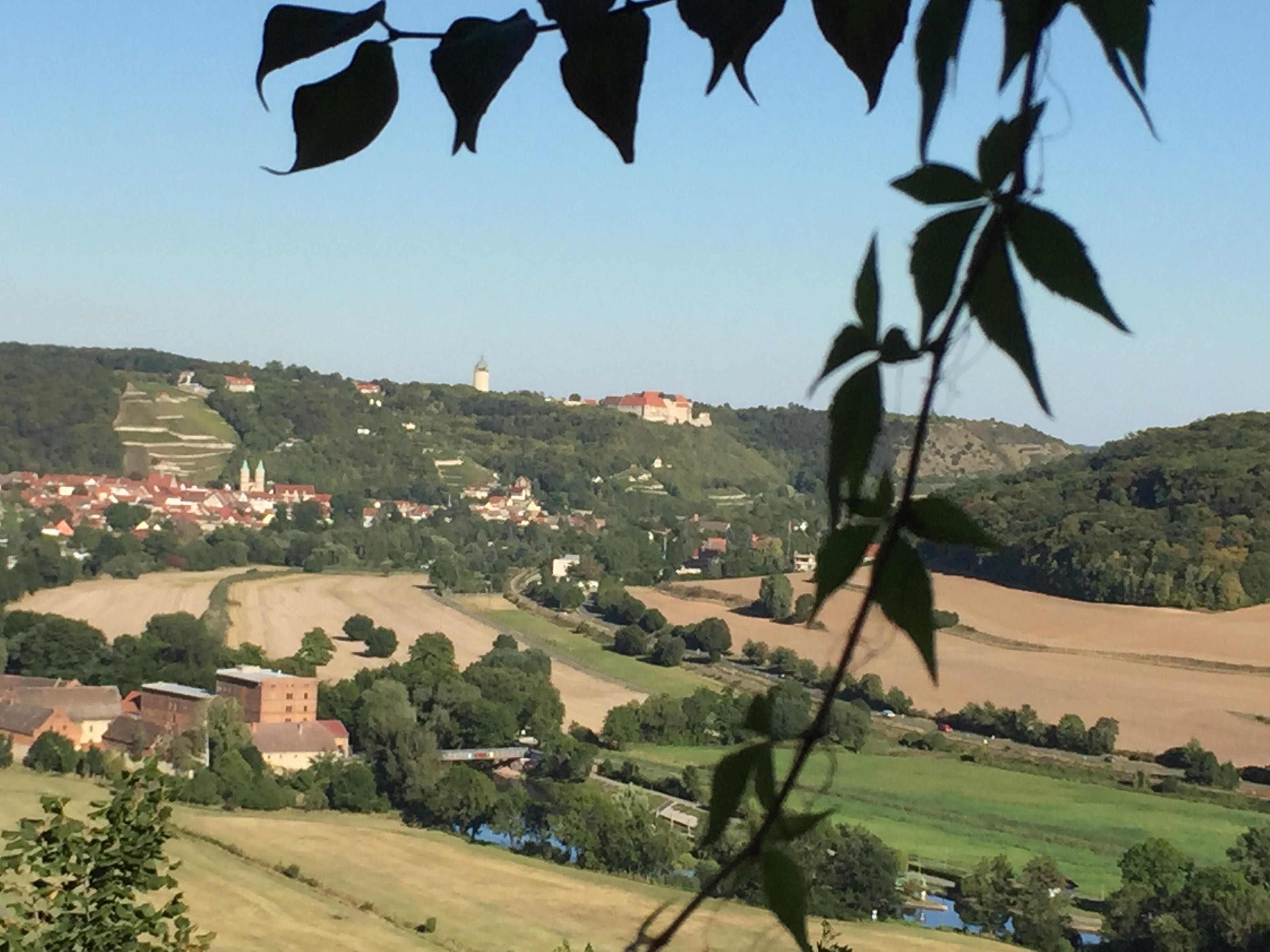
View from lookout near Bad Kosen
View from Geopath in Zscheiplitz Freyburg
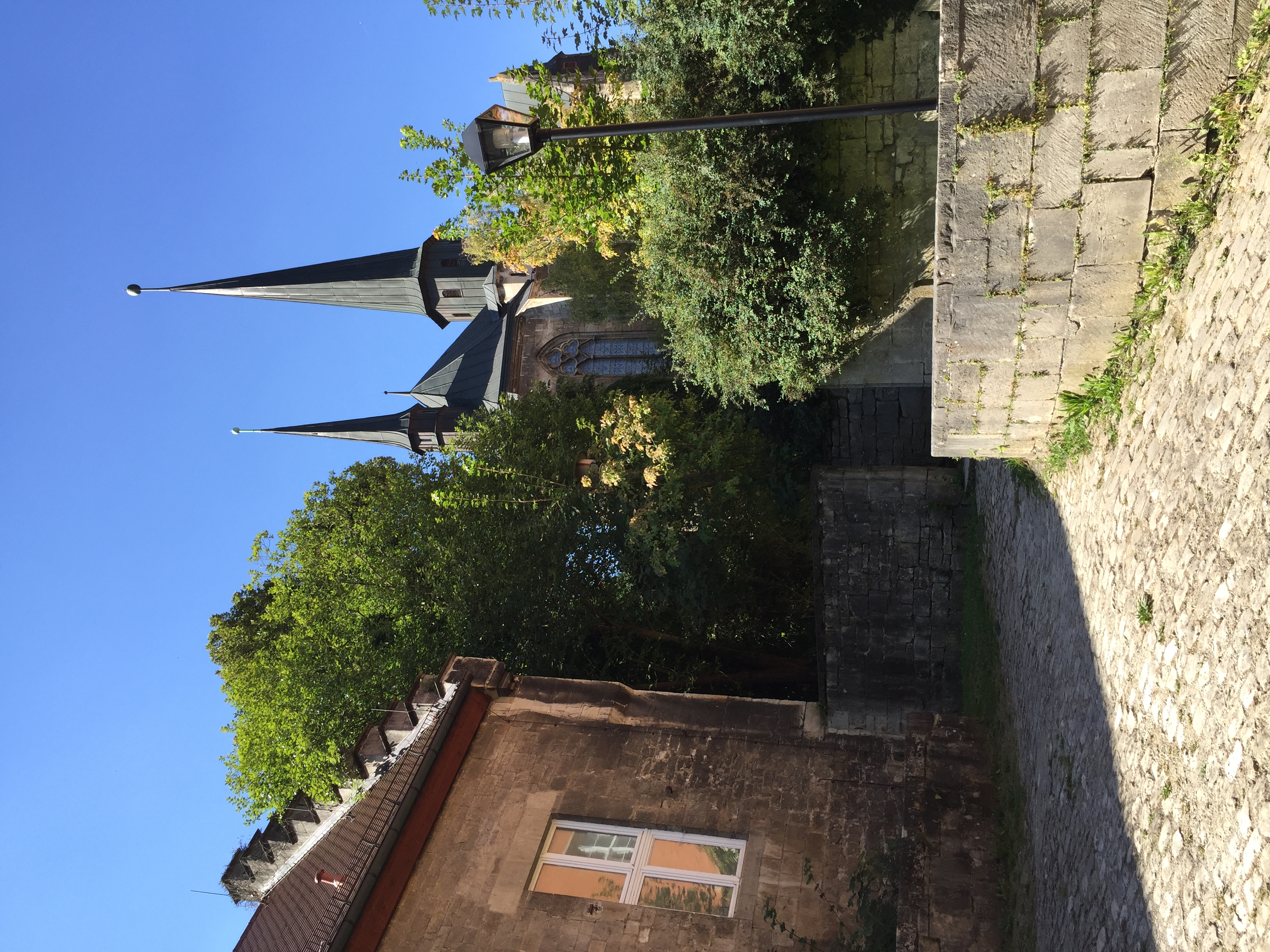
View of the church of the former convent Schulpforta

View of the church of the former convent Schulpforta
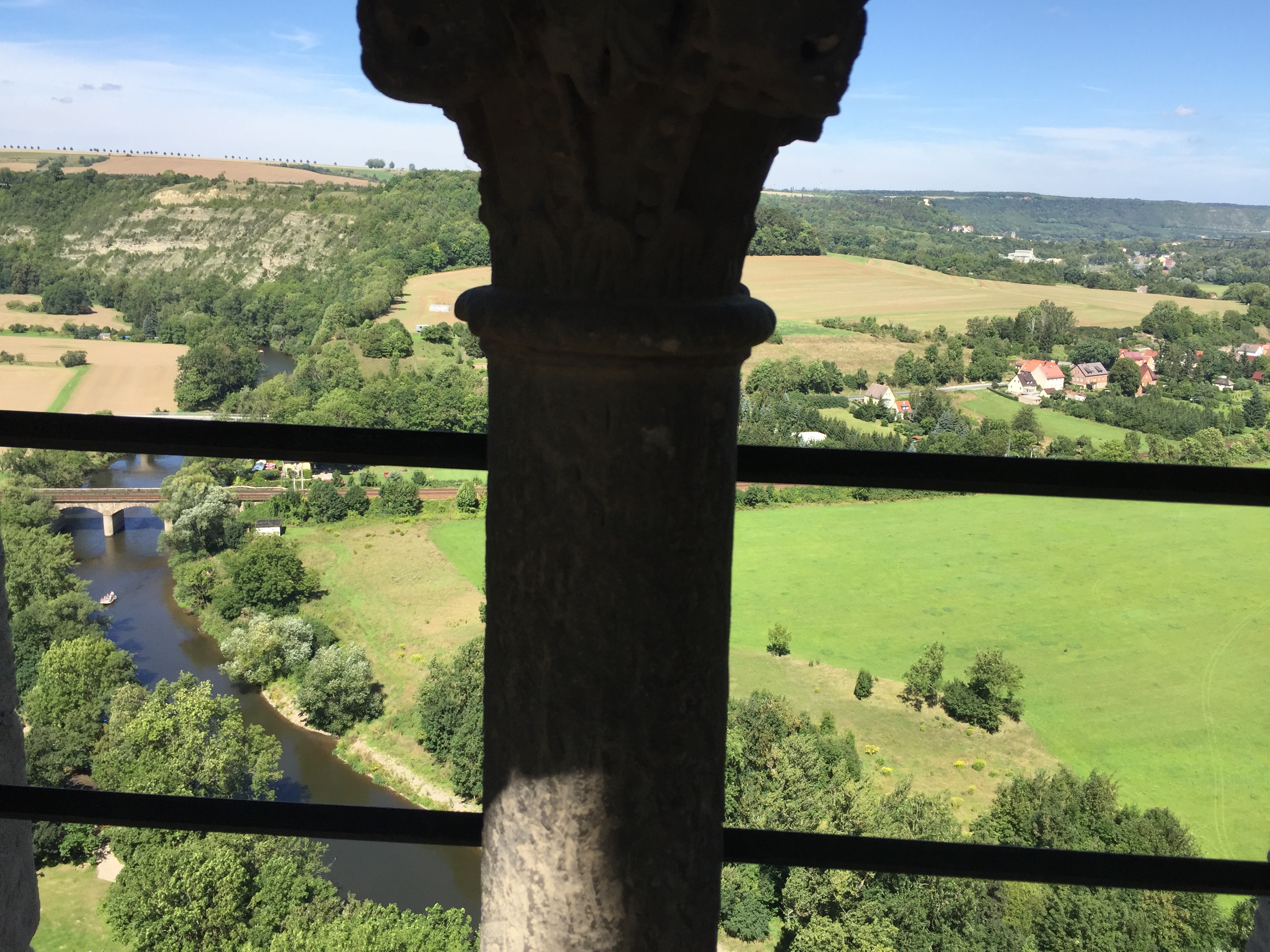
view of the Rudelsburg the Saale Valley - near Bad Kösen

Schotter ohne Ende
dramatischer April-Himmel; kurz vor dem nächsten Regen

2014-07-27 17.28.52-1

Therapy Center of Bad Koesen
Frühling

pink marshmallows on green gras

Traces in the Grain
DSC04708-Pano.jpg

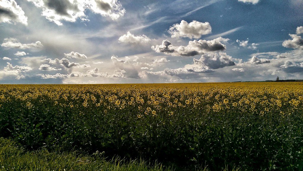
Rape seed in yellow by Naumburg
Das Himmelreich

DSC04749.jpg

A little bit unusual 04/53 - "Stonework"
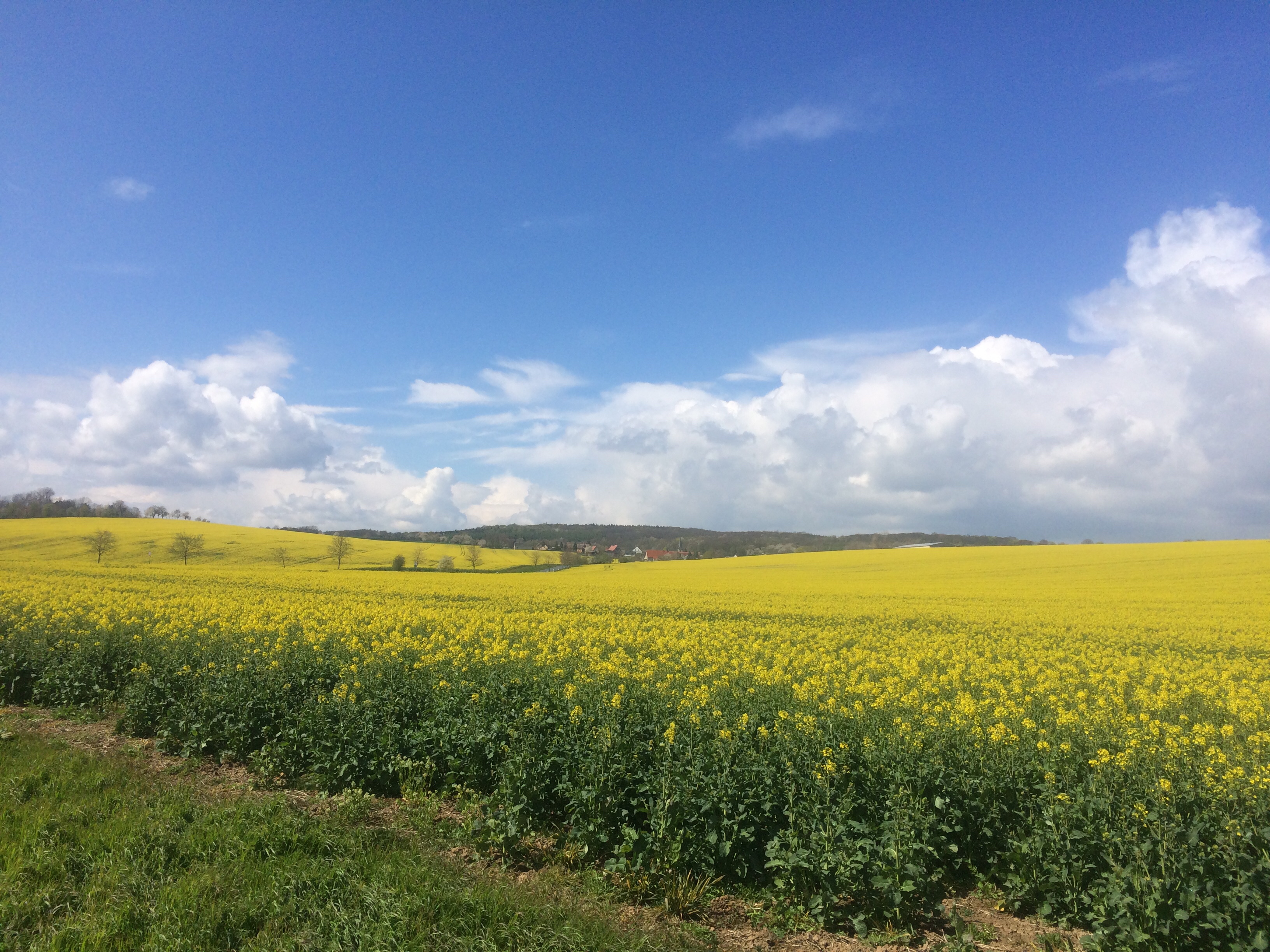
Naked Canola

Sunset Porn

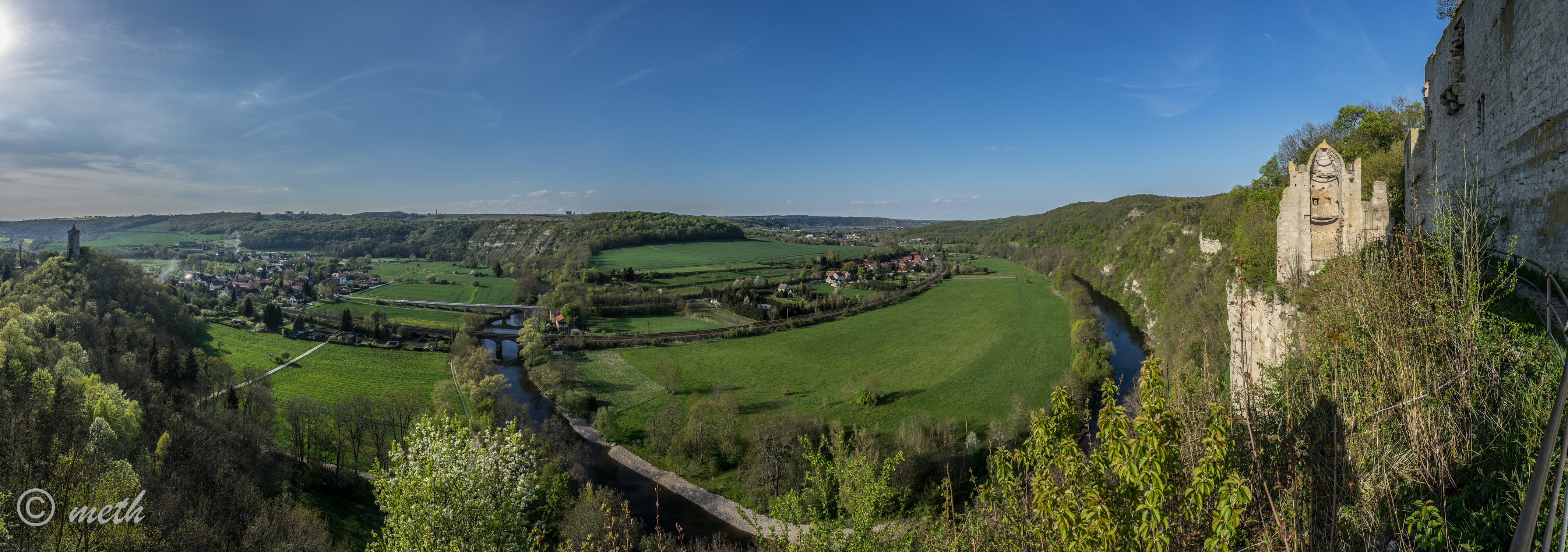
Burg Saaleck und Saaletal

DSC08181-Bearbeitet.jpg

Out of the Village

DSC08343-Bearbeitet.jpg
Topographic Map of An der Poststraße, Germany
Find elevation by address:

Places in An der Poststraße, Germany:
Places near An der Poststraße, Germany:
Hauptstraße Gößnitz 21, An der Poststraße, Germany
Gößnitz
Tauhardt
Schustergasse 27, Finne, Germany
Finne
Bahnhofstraße
Saaleplatte
Apolda
Kölledaer Str. 34, Finne, Germany
Liederstädt
Querfurter Str. 30, Querfurt, Germany
Lossa
Schmiedehausen
Dorfstraße 17, Schmiedehausen, Germany
6c
Schöten
Schötener Dorfstraße 35, Apolda, Germany
Zimmern
Bad Kösen
Weimarer Land
Recent Searches:
- Elevation of Leguwa, Nepal
- Elevation of County Rd, Enterprise, AL, USA
- Elevation of Kolchuginsky District, Vladimir Oblast, Russia
- Elevation of Shustino, Vladimir Oblast, Russia
- Elevation of Lampiasi St, Sarasota, FL, USA
- Elevation of Elwyn Dr, Roanoke Rapids, NC, USA
- Elevation of Congressional Dr, Stevensville, MD, USA
- Elevation of Bellview Rd, McLean, VA, USA
- Elevation of Stage Island Rd, Chatham, MA, USA
- Elevation of Shibuya Scramble Crossing, 21 Udagawacho, Shibuya City, Tokyo -, Japan