Elevation of Amwell, PA, USA
Location: United States > Pennsylvania > Washington County >
Longitude: -80.209821
Latitude: 40.0777787
Elevation: 368m / 1207feet
Barometric Pressure: 97KPa
Elevation Map:
Satellite Map:
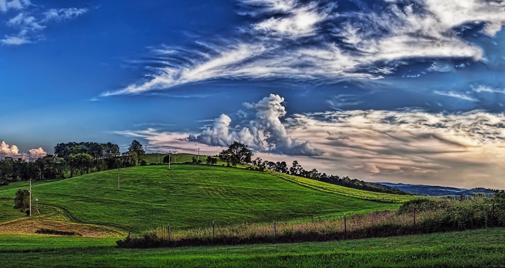
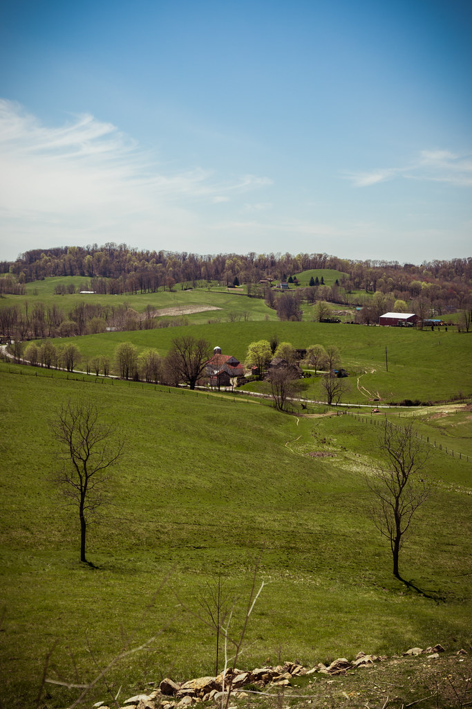
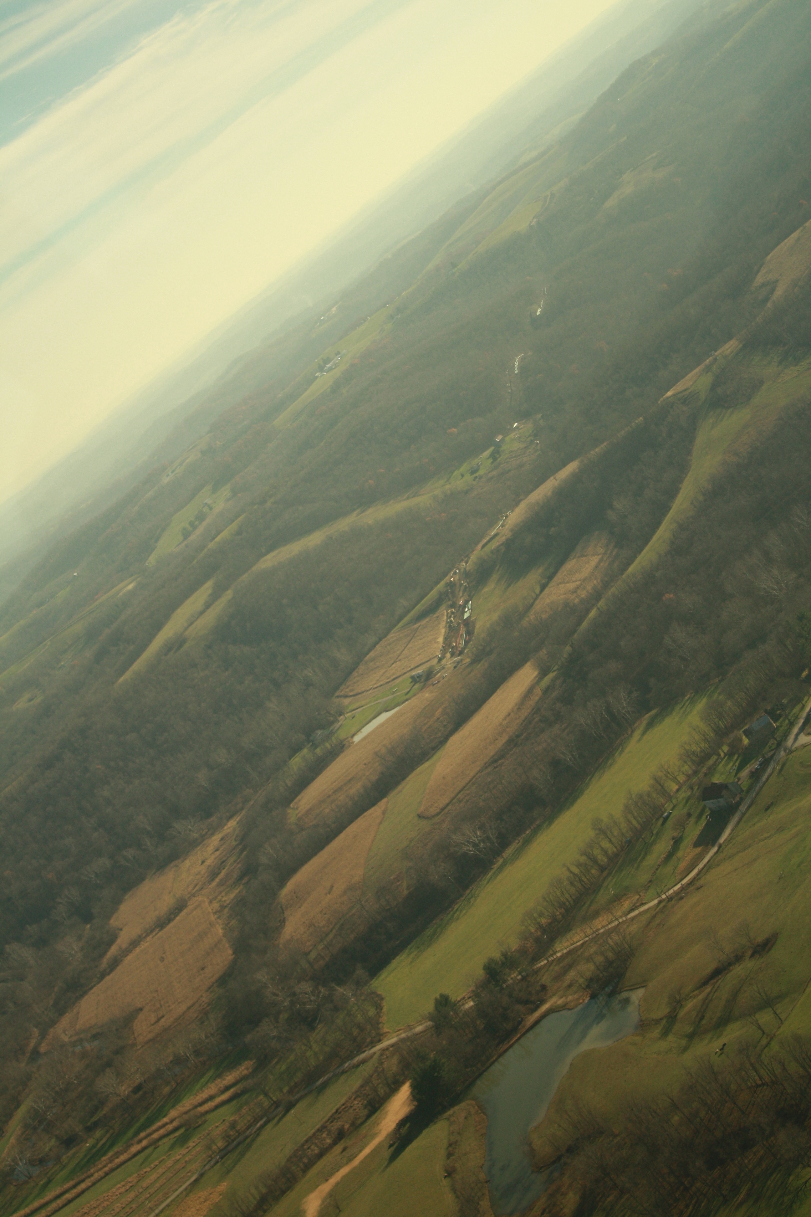
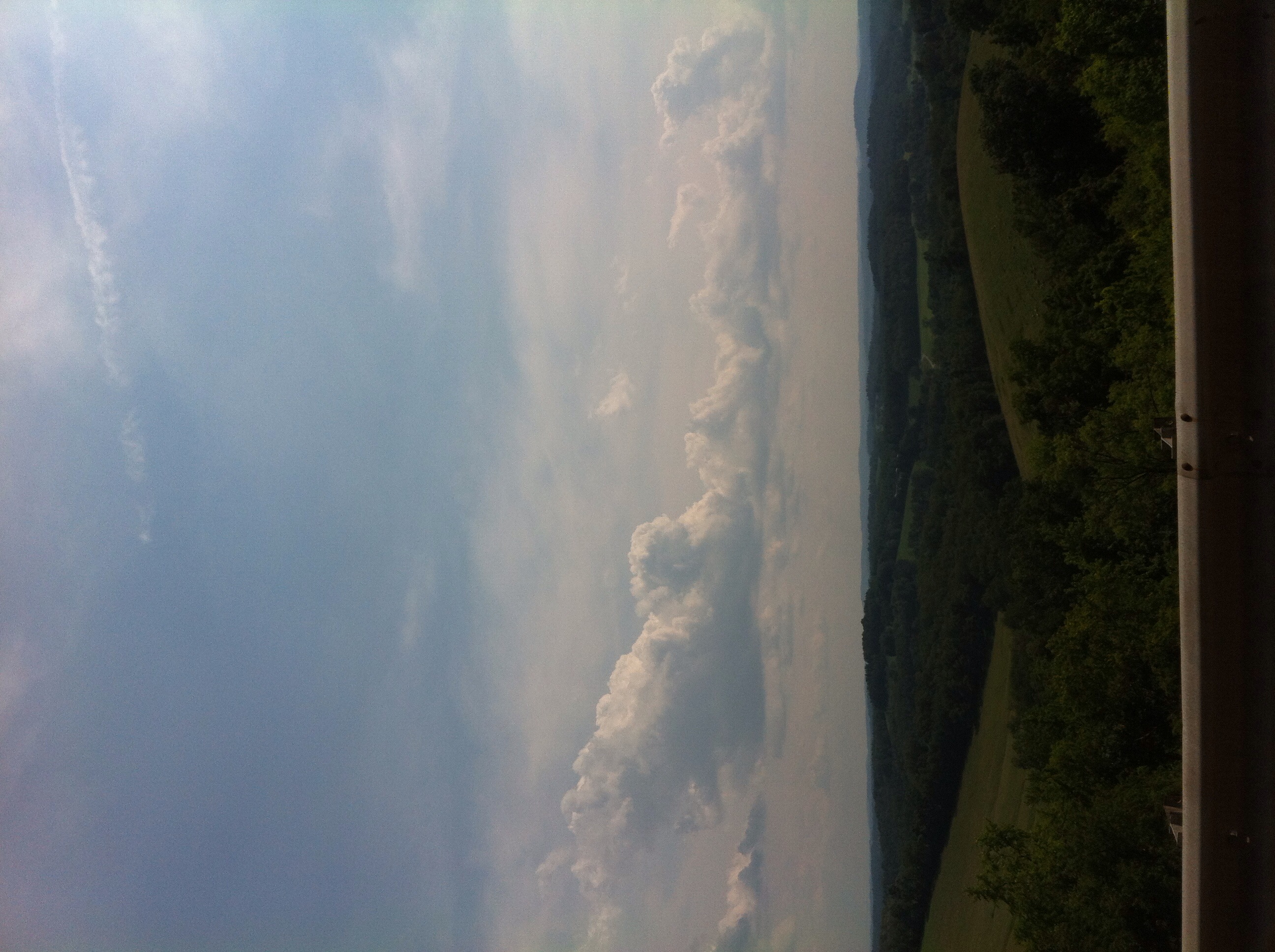
Related Photos:
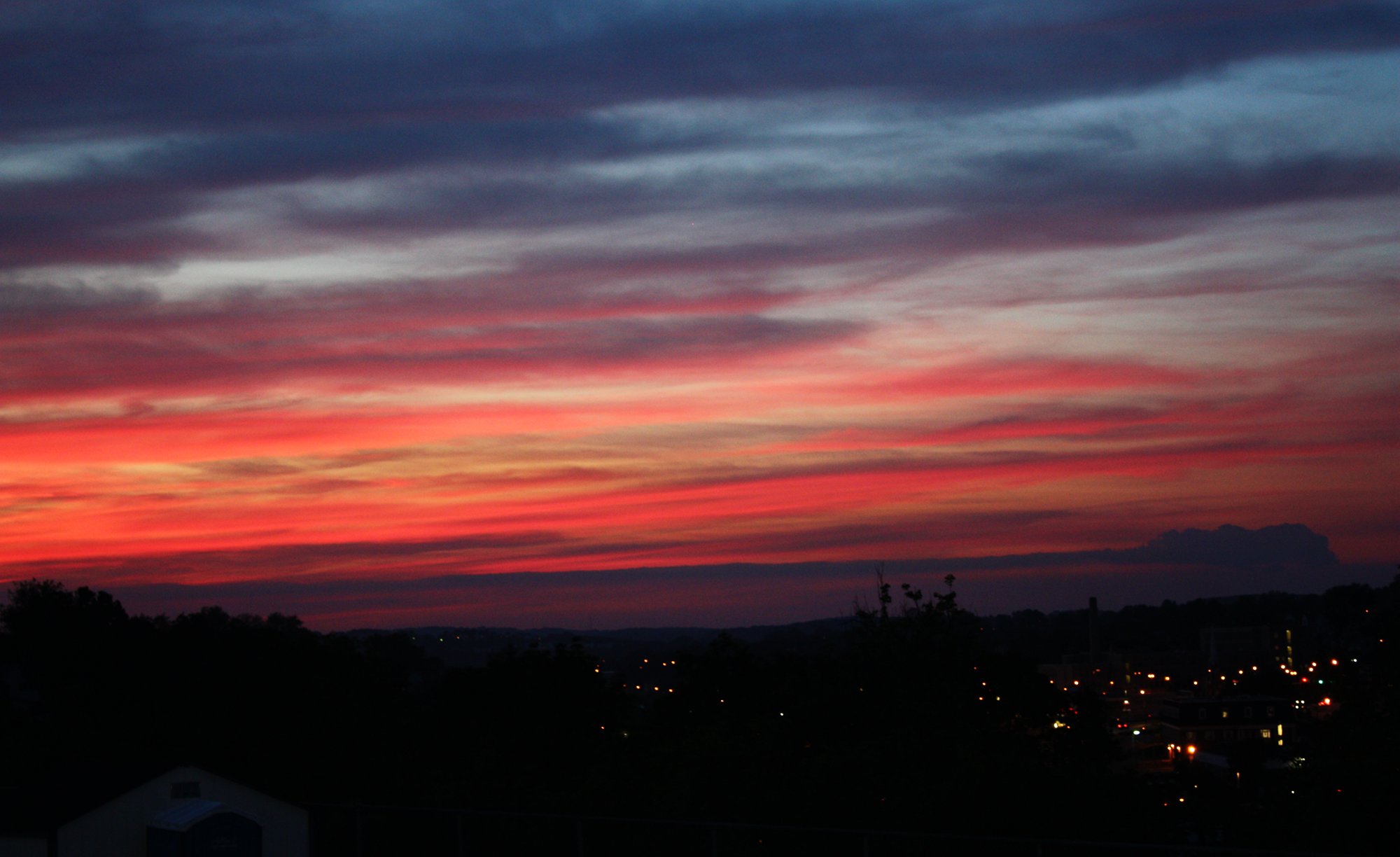
sunsets and car crashes

queen victoria

Pennsylvania ~ Scenery Hill

Pennsylvania ~ Scenery Hill

Calvary Hill

George Washington Statue
this is not the view from brian's driveway
Distant View of Pittsburgh

How Does It Work?

scenery hill cemetery

IMG_1770-72Ptzl1scTBbLG2

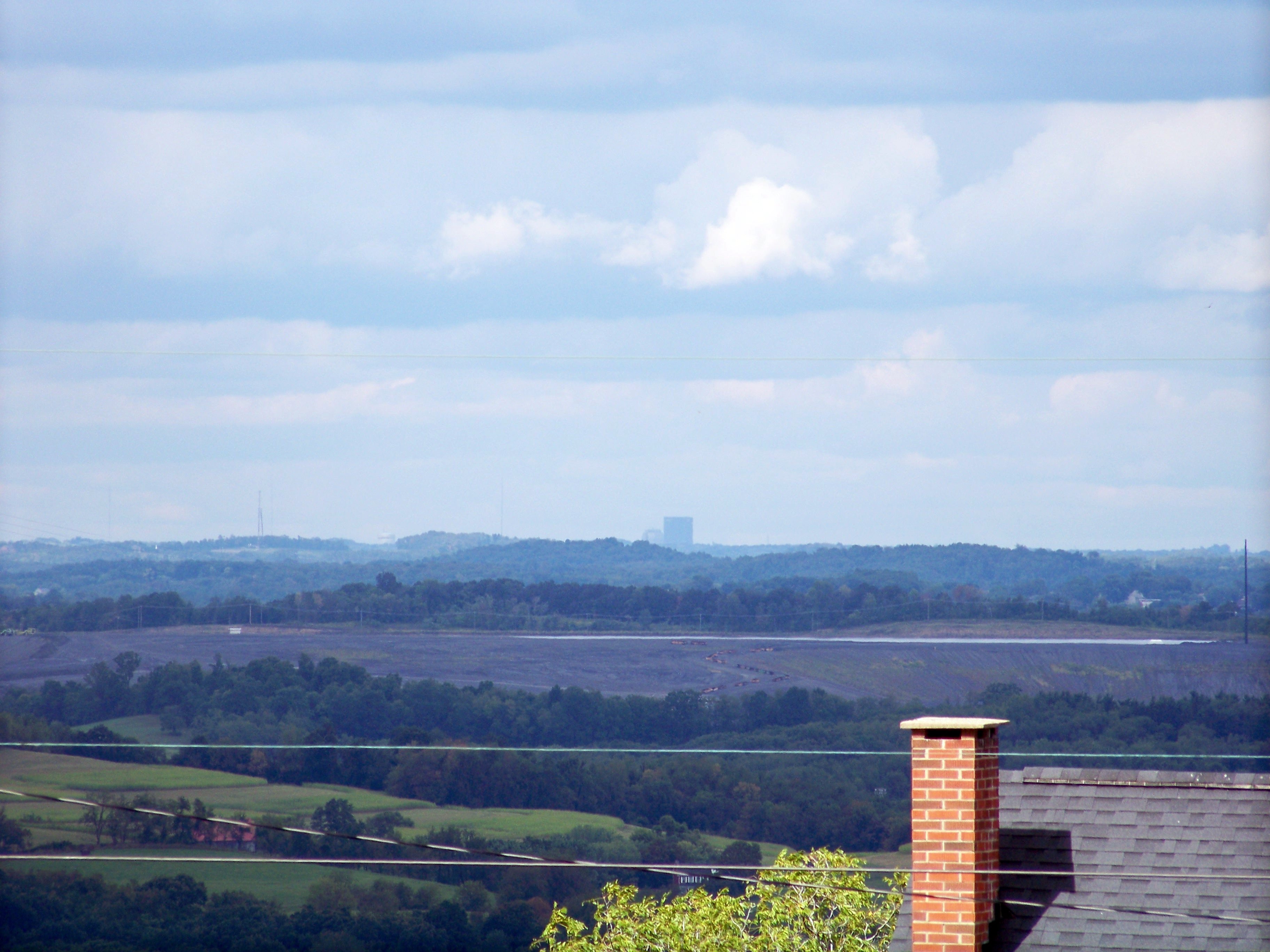
Distant City II

(10/365) at least for now it's still fun and games

nobody said it was easy

(3/365) globes and maps

(5/365) and if i let you pull me out, i let you win

the view from heaven

The Badge

in the rough (explore)

The George Washington Hotel- Washington PA (1)

view of dog's eye

Fog seaping in.

Reservoir in Cokeburg PA
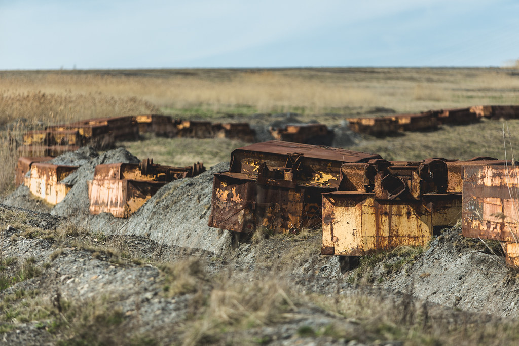
Trail of Rust

Landscape #124

Hughes Bridge 1889

Rolling Panorama

Apple Orchard
IMG_4767-68PtRzl1scTBbLG
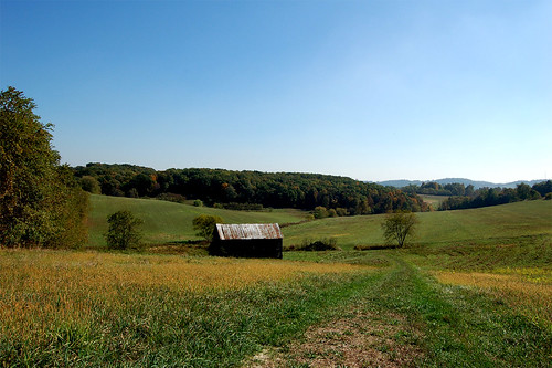
Scenery Hill

iPhone HDR
New Pipeline
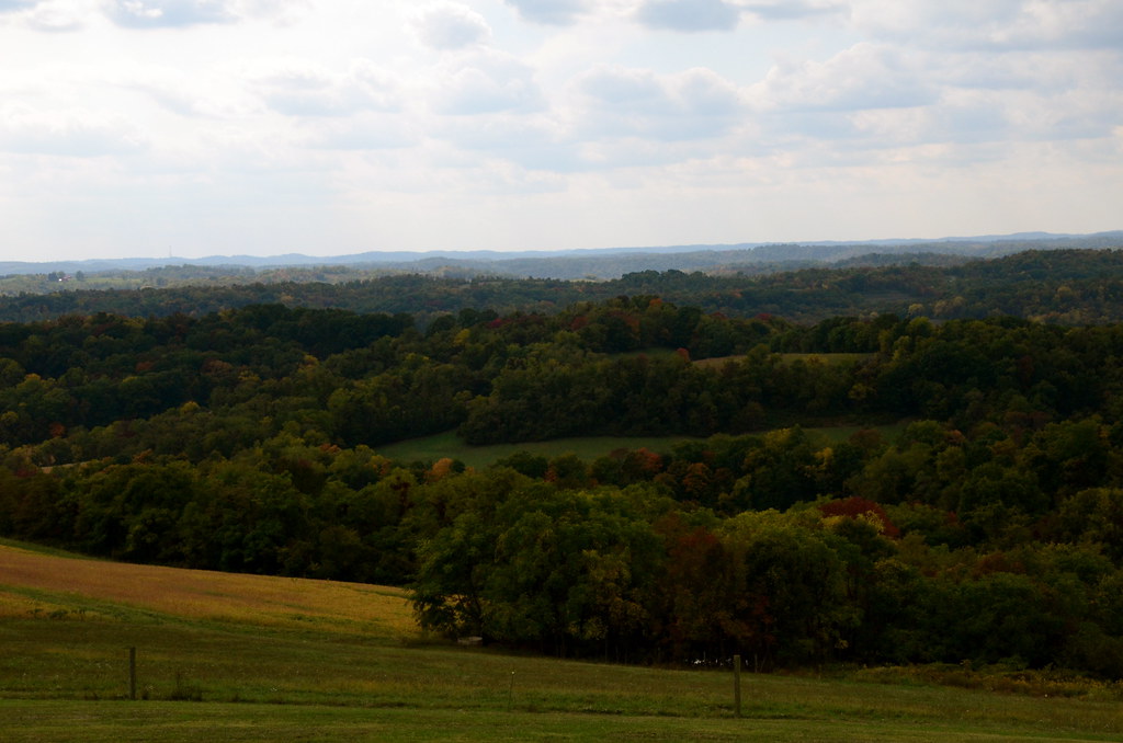
Farms and the country
just over the hill

Song Sparrow
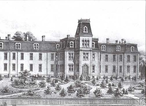
1876 Lithograph of Washington County Home, Washington, PA
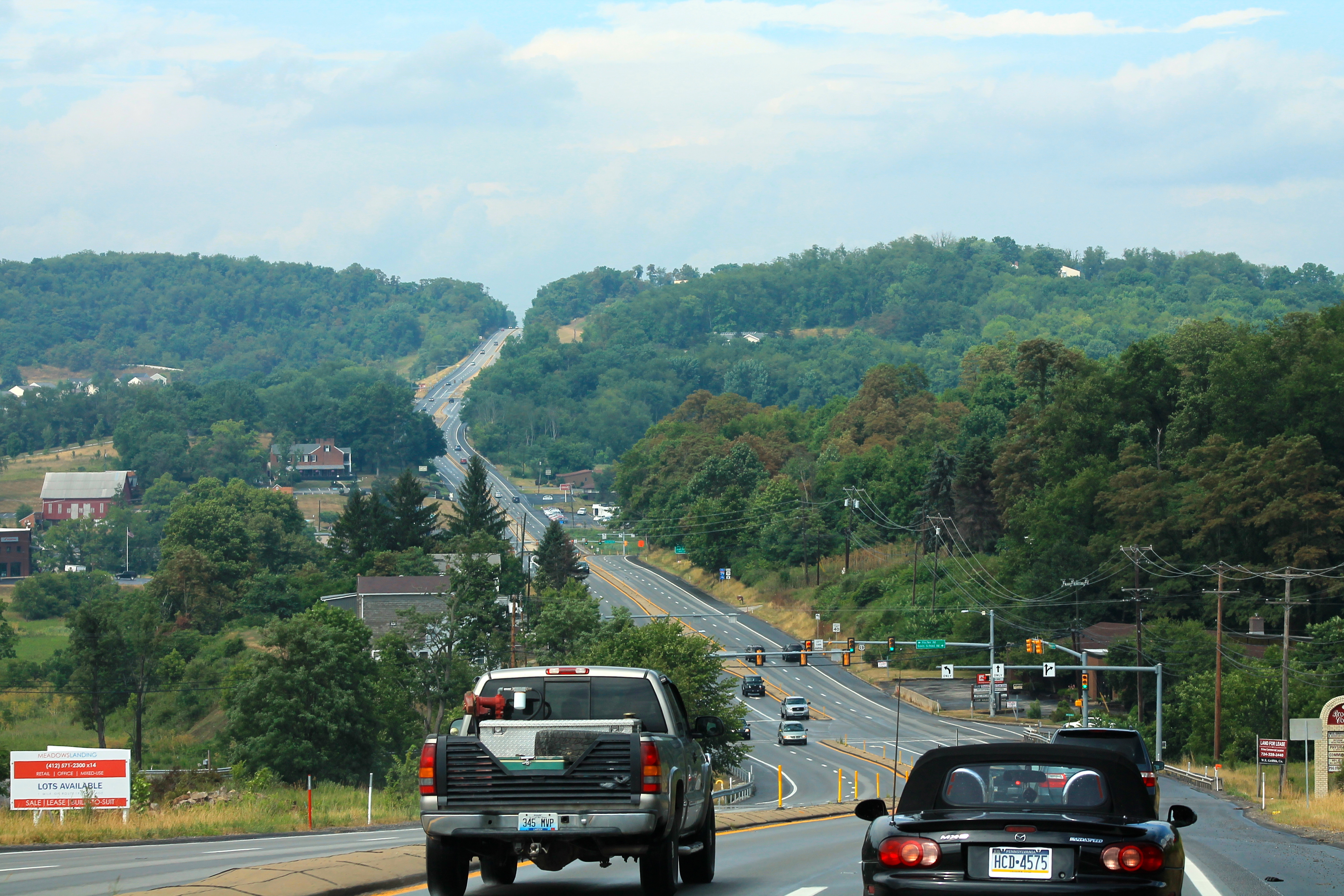
US 19 north of Washington, PA
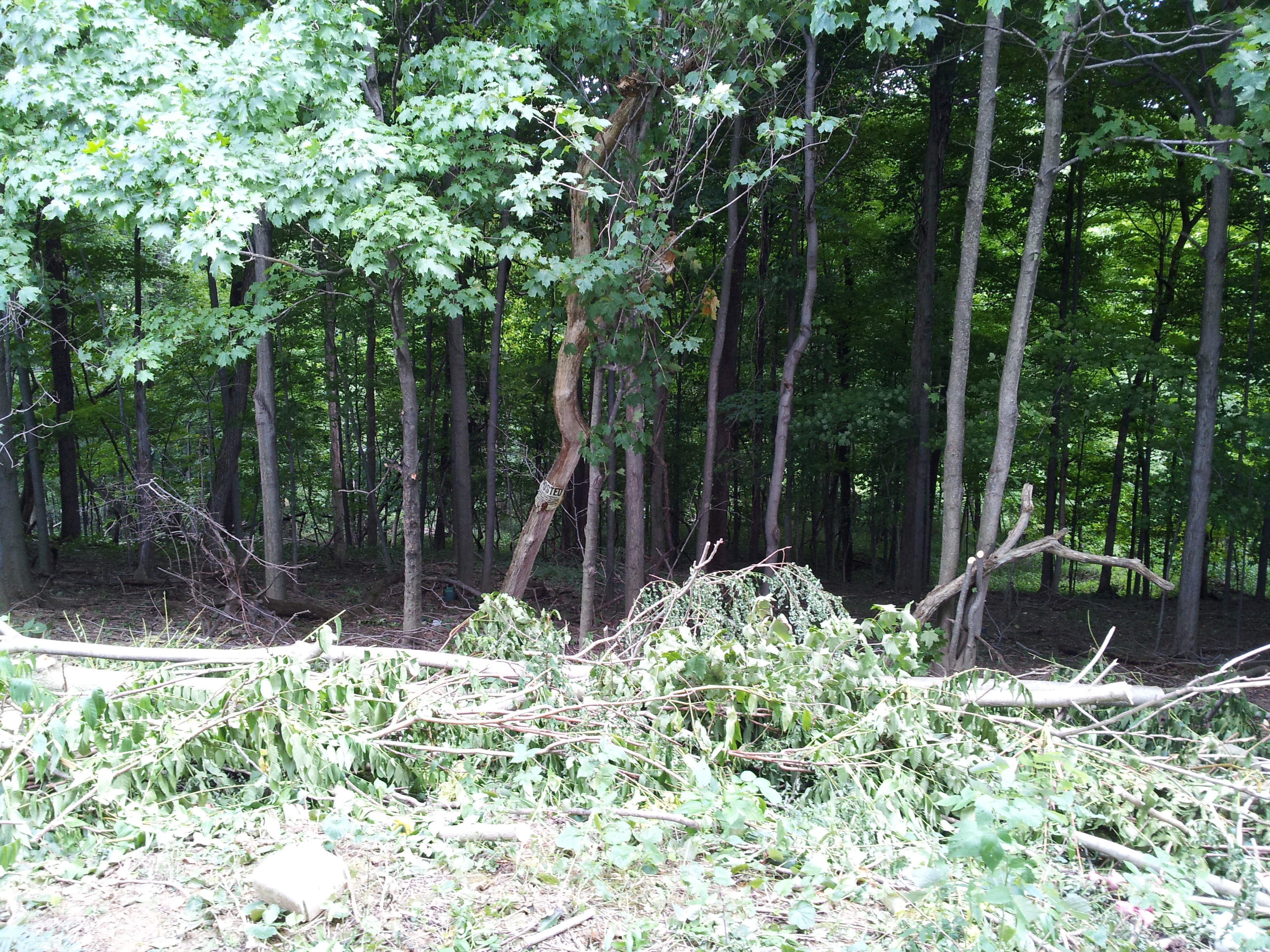
Woods behind church

Washington Farm Land

tim cell phone pics 1976
Franchised Landscape #8
Topographic Map of Amwell, PA, USA
Find elevation by address:

Places in Amwell, PA, USA:
Places near Amwell, PA, USA:
133 Shipe Run Rd
Plum Sock Rd, Amity, PA, USA
Washington County
269 Hallam Rd
43 Tannehill Dr
Tannehill Drive
39 Tannehill Dr
South Franklin Township
Park Avenue
Park Ave, Washington, PA, USA
Prosperity
South Strabane Township
Washington, PA, USA
W W Rd, Sycamore, PA, USA
Zediker Station Rd, Washington, PA, USA
Washington
923 E Beau St
Ridge Avenue
Stockdale School Road
567 Warrick Dr
Recent Searches:
- Elevation of Corso Fratelli Cairoli, 35, Macerata MC, Italy
- Elevation of Tallevast Rd, Sarasota, FL, USA
- Elevation of 4th St E, Sonoma, CA, USA
- Elevation of Black Hollow Rd, Pennsdale, PA, USA
- Elevation of Oakland Ave, Williamsport, PA, USA
- Elevation of Pedrógão Grande, Portugal
- Elevation of Klee Dr, Martinsburg, WV, USA
- Elevation of Via Roma, Pieranica CR, Italy
- Elevation of Tavkvetili Mountain, Georgia
- Elevation of Hartfords Bluff Cir, Mt Pleasant, SC, USA