Elevation of Americus, KS, USA
Location: United States > Kansas > Lyon County >
Longitude: -96.280086
Latitude: 38.5267529
Elevation: 359m / 1178feet
Barometric Pressure: 97KPa
Elevation Map:
Satellite Map:
Related Photos:

Bushong Bank
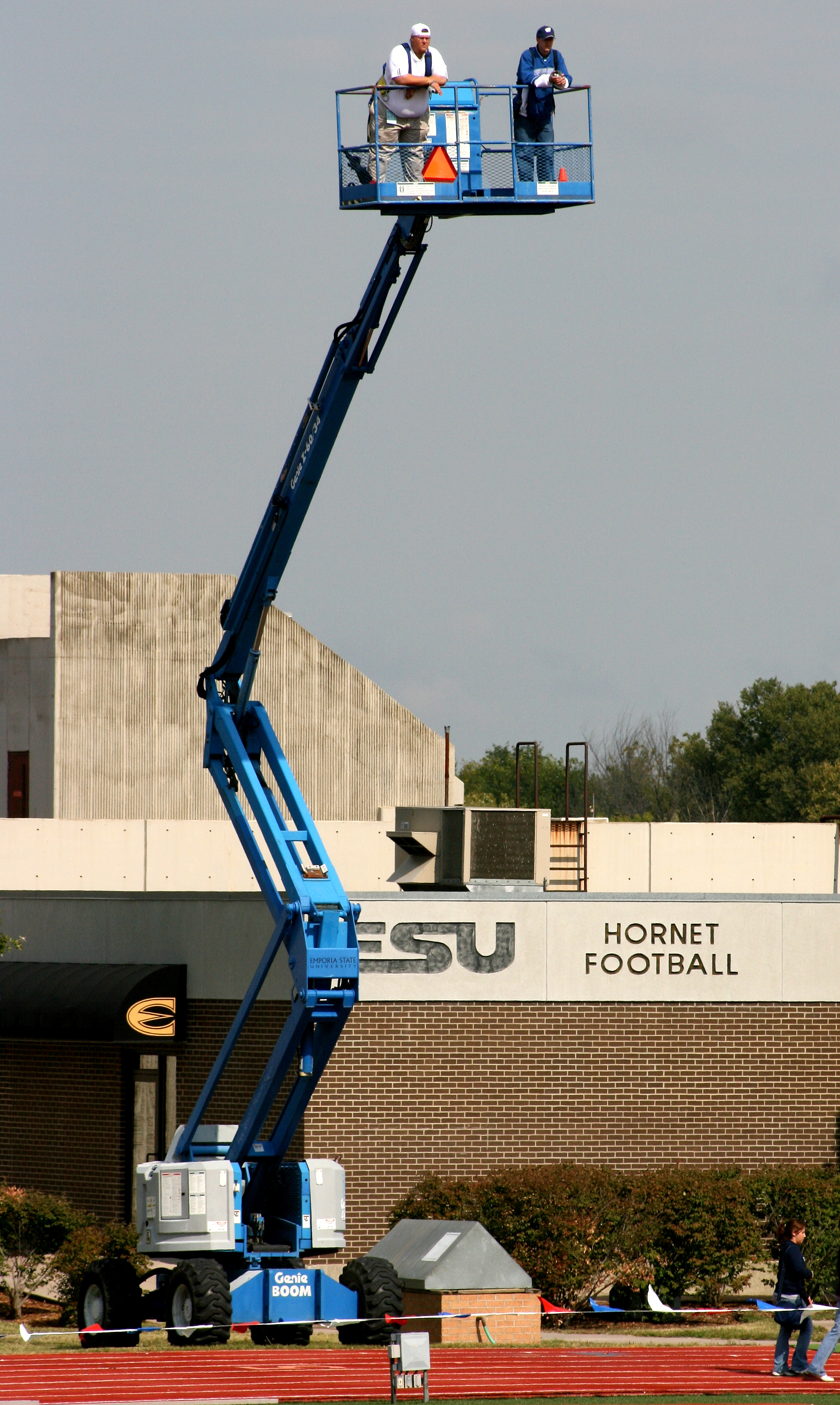
On to class
BNSF ES44DC-7611 W/B near Plymouth, W. of Emporia, KS

KTA Toll Plaza in Emporia, 22 April 2009
White, William Allen, House- Emporia KS

My view from bed #Saturday #plants #sunshine #springishere
Living Room
I-35 Prehistoric feeding in Winter
Aerial View

In Morris County
Ghost trip fall 2012
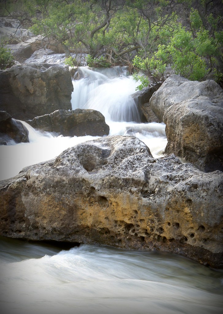
Kahola Falls
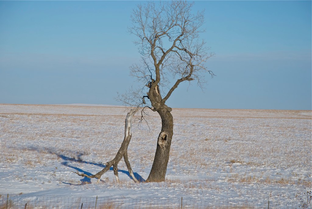
Kansas landscape (2)

"Prehistoric" Feeding in Flint Hills

Morning fountain

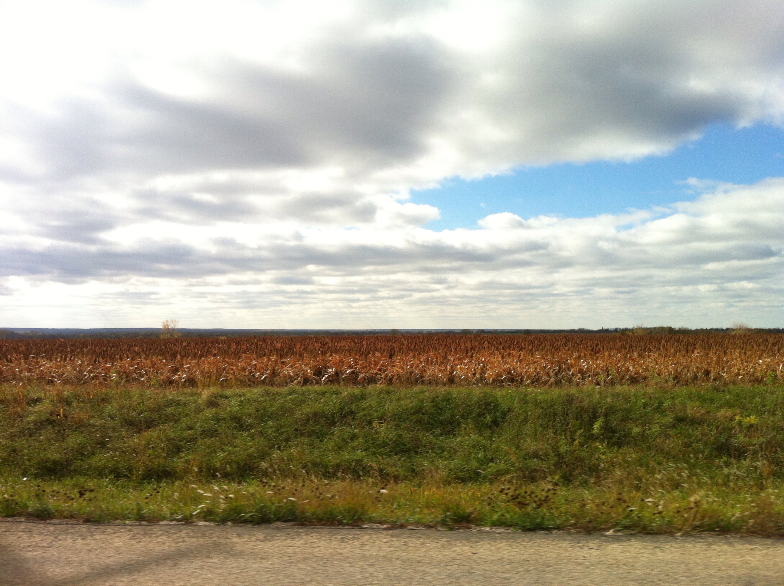
Kansas landscape

Burning Pallet
Topographic Map of Americus, KS, USA
Find elevation by address:

Places in Americus, KS, USA:
Places near Americus, KS, USA:
Americus
Locust St, Americus, KS, USA
2823 Rd L
The Orchard
Rd B2, Emporia, KS, USA
1129 Janice St
7th Avenue Storage
2055 Rd M
Flint Hills Lanes
Fremont
Pike
Red Rocks State Historic Site
Jimmy John's
Emporia
120 Commercial St
Tortas El Toro
Allen, KS, USA
Agnes City
Allen
Carter St, Emporia, KS, USA
Recent Searches:
- Elevation of Elwyn Dr, Roanoke Rapids, NC, USA
- Elevation of Congressional Dr, Stevensville, MD, USA
- Elevation of Bellview Rd, McLean, VA, USA
- Elevation of Stage Island Rd, Chatham, MA, USA
- Elevation of Shibuya Scramble Crossing, 21 Udagawacho, Shibuya City, Tokyo -, Japan
- Elevation of Jadagoniai, Kaunas District Municipality, Lithuania
- Elevation of Pagonija rock, Kranto 7-oji g. 8"N, Kaunas, Lithuania
- Elevation of Co Rd 87, Jamestown, CO, USA
- Elevation of Tenjo, Cundinamarca, Colombia
- Elevation of Côte-des-Neiges, Montreal, QC H4A 3J6, Canada