Elevation map of Ambilobe, Madagascar
Location: Madagascar > Antsiranana >
Longitude: 48.8799972
Latitude: -13.345530
Elevation: 19m / 62feet
Barometric Pressure: 101KPa
Elevation Map:
Satellite Map:
Related Photos:
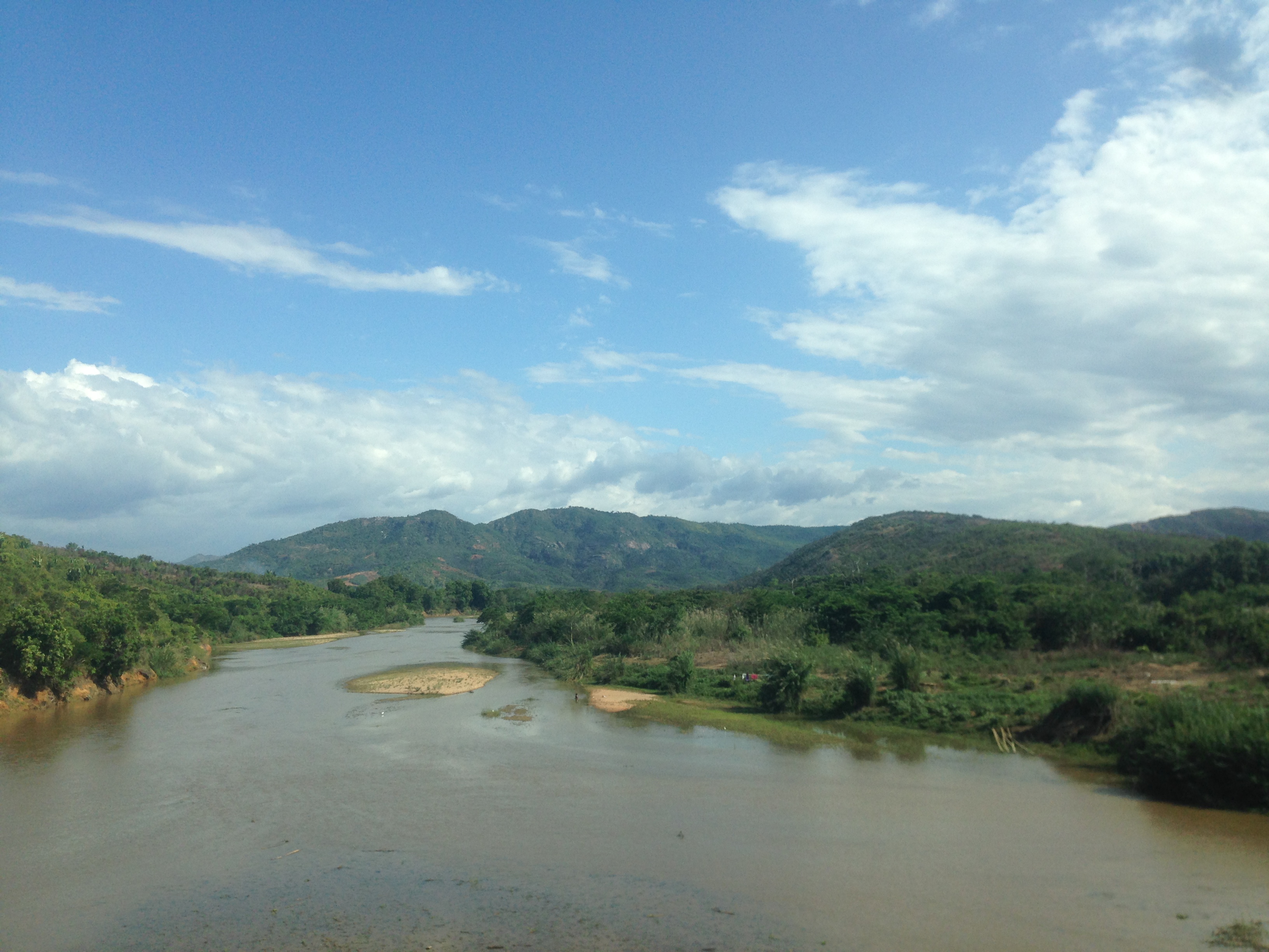
IMG_0047

Nel fiume... tutto

From Iharana Camp To Port Ankify

Tres jolie

Alt, police!

Un attimo ancora ed arriva anche il sole!
Topographic Map of Ambilobe, Madagascar
Find elevation by address:

Places in Ambilobe, Madagascar:
Places near Ambilobe, Madagascar:
Recent Searches:
- Elevation of Beall Road, Beall Rd, Florida, USA
- Elevation of Leguwa, Nepal
- Elevation of County Rd, Enterprise, AL, USA
- Elevation of Kolchuginsky District, Vladimir Oblast, Russia
- Elevation of Shustino, Vladimir Oblast, Russia
- Elevation of Lampiasi St, Sarasota, FL, USA
- Elevation of Elwyn Dr, Roanoke Rapids, NC, USA
- Elevation of Congressional Dr, Stevensville, MD, USA
- Elevation of Bellview Rd, McLean, VA, USA
- Elevation of Stage Island Rd, Chatham, MA, USA