Elevation of Am Steinberg 6, Sornzig-Ablaß, Germany
Location: Germany > Saxony > Leipzig > Nordsachsen > Sornzig-ablaß > Sornzig >
Longitude: 13.0158204
Latitude: 51.2126234
Elevation: 192m / 630feet
Barometric Pressure: 99KPa
Elevation Map:
Satellite Map:
Related Photos:

update your city

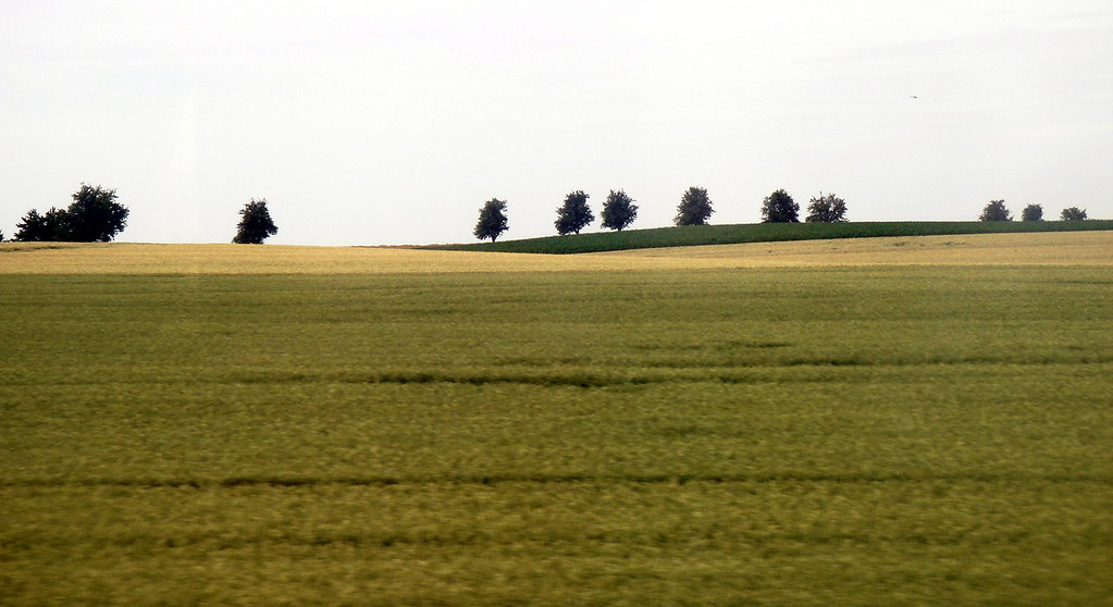
View from the train

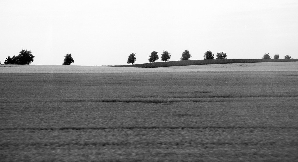
Another view of a Saxon Meyer outside Mügeln shed

Trees over the top
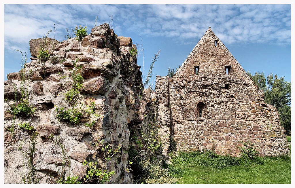
Kloster Buch

2014_10_09 18_02_29

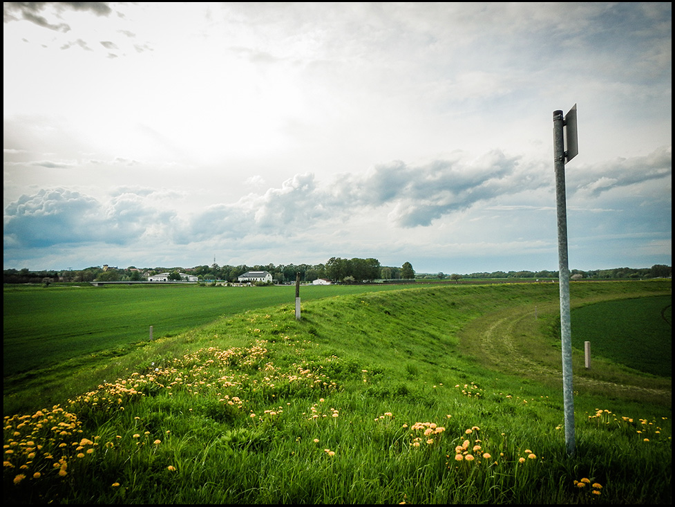
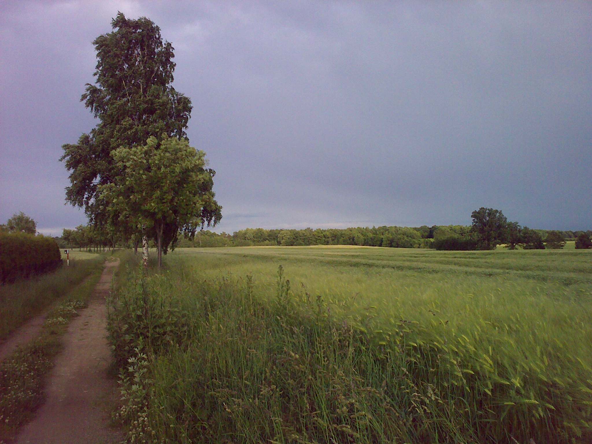
a path to the village of Ragewitz

20130509-46
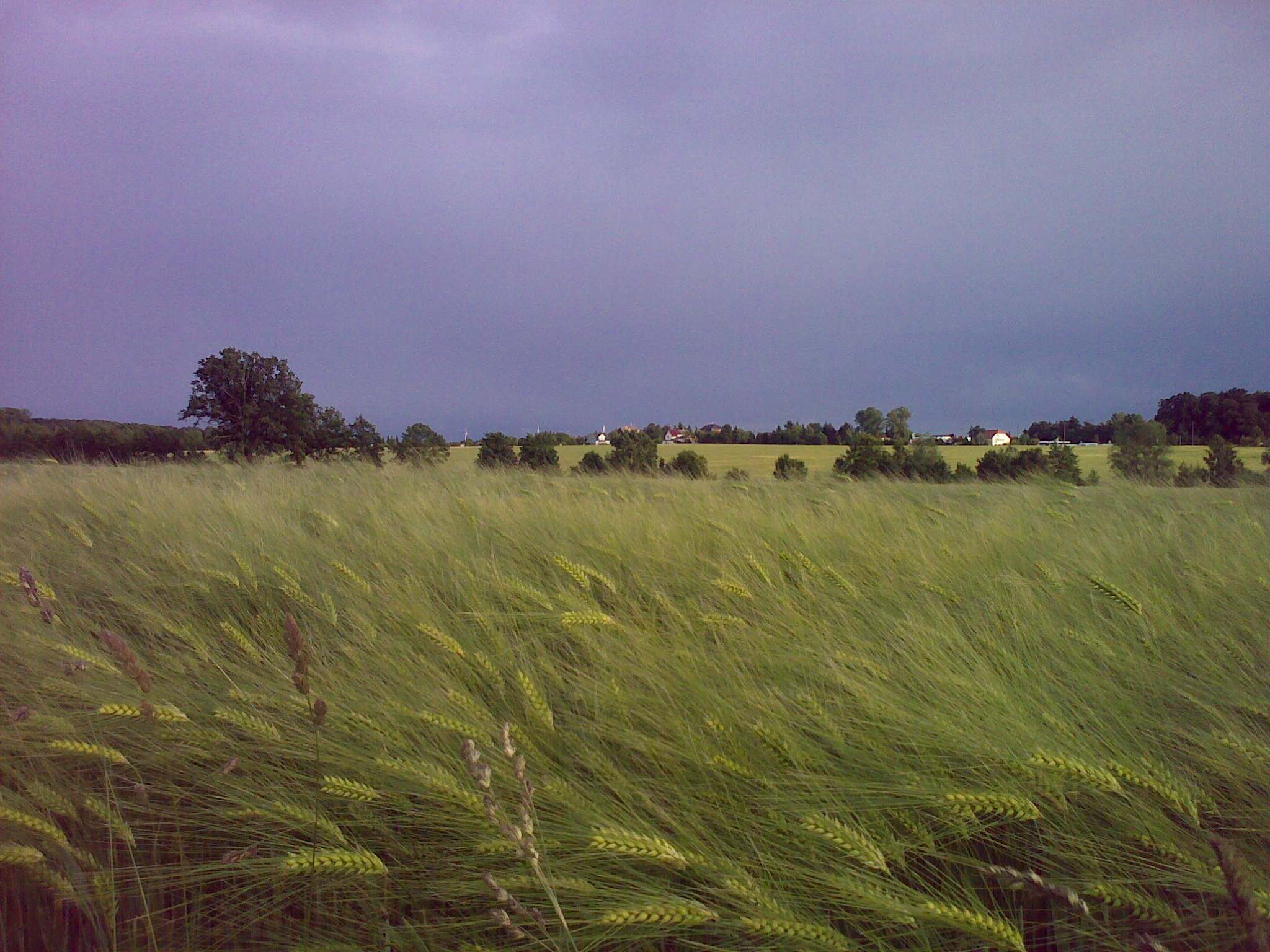
fields in Sachsen

The World to Come

20130509-20

20130509-68
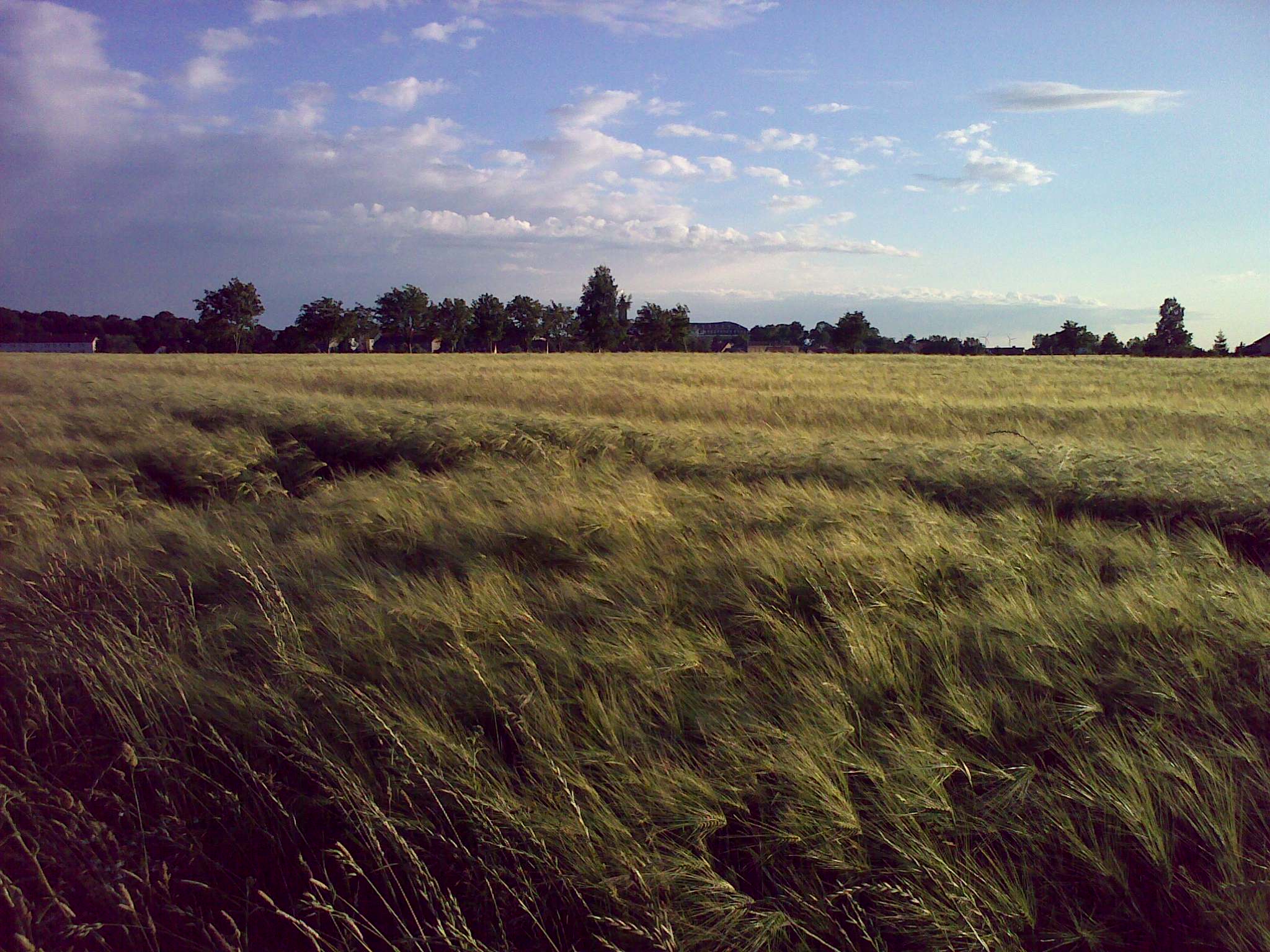
GERMAN COUNTRYSIDE
20130509-35

20130509-45

Platycnemis pennipes

Forest Creation

12.06.2009

12.06.2009
12.06.2009
12.06.2009
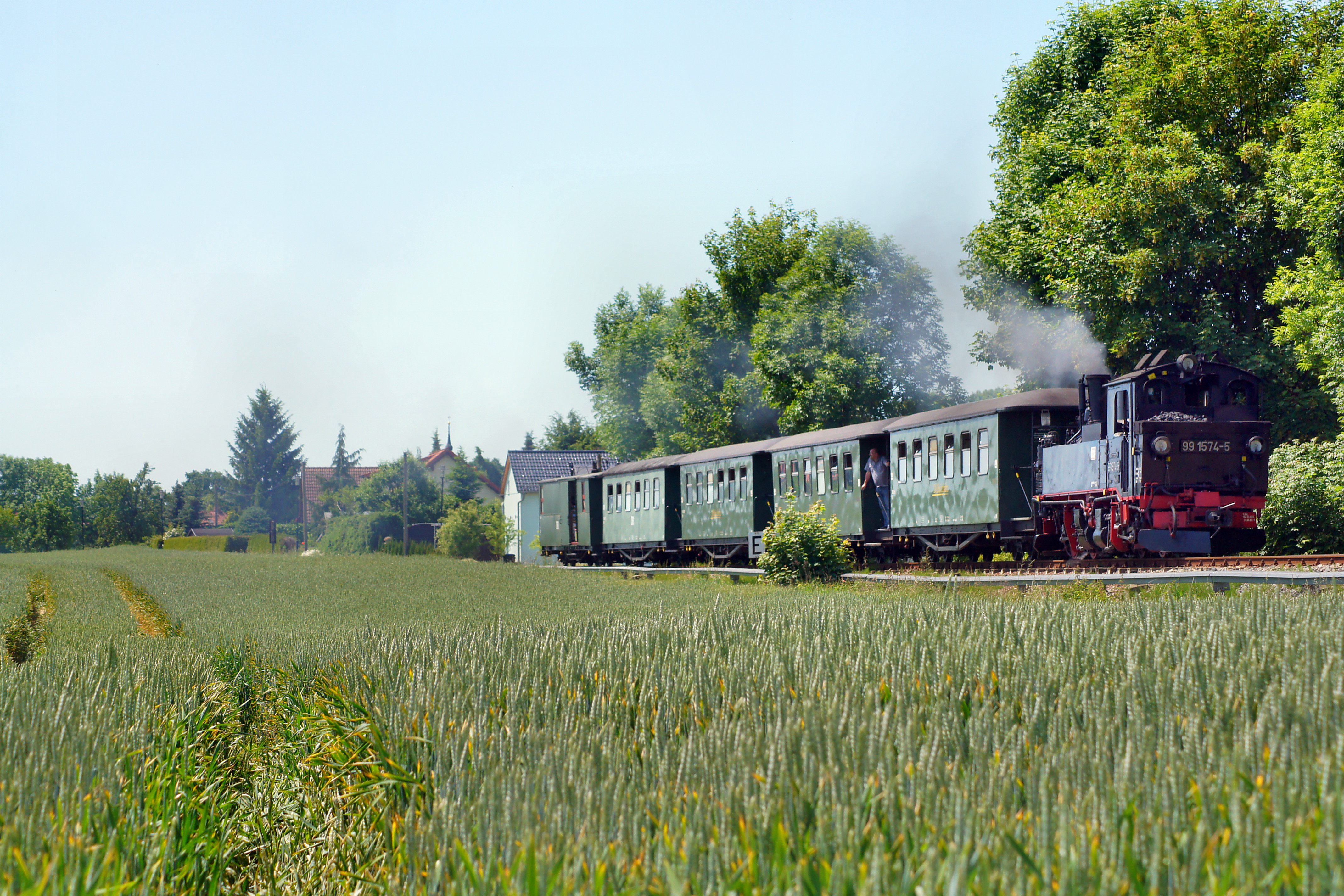
99 1574-5
12.06.2009
Topographic Map of Am Steinberg 6, Sornzig-Ablaß, Germany
Find elevation by address:

Places near Am Steinberg 6, Sornzig-Ablaß, Germany:
Sornzig
Mügeln
Berntitz 11, Mügeln, Germany
Berntitz
Großweitzschen
3b
Tronitz
Ochsenweg
Döschütz 10, Großweitzschen, Germany
Naundorf
Niederranschütz 6, Großweitzschen, Germany
Niederranschütz
Calbitz
Oschatzer Str. 1
Ostrau
Oschatzer Str. 8, Naundorf, Germany
Weichteritz
Zschaitz-ottewig
18a
Auterwitz
Recent Searches:
- Elevation of Sunset Dr, Hernando, MS, USA
- Elevation of Lake Rotoroa, Tasman, New Zealand
- Elevation of George St, New Bern, NC, USA
- Elevation of Cove Rd, Jasper, GA, USA
- Elevation of Cove Rd, Jasper, GA, USA
- Elevation of South Yankee Meadow Road, Forest Road, Paragonah, UT, USA
- Elevation of SW Elderview Dr, Sherwood, OR, USA
- Elevation of Hickory St, Greenville, NC, USA
- Elevation of Poplar Ln, Guffey, CO, USA
- Elevation of Falling Spring Rd, Clyde, NC, USA