Elevation of Alvesta C, Sweden
Location: Sweden > Kronoberg County >
Longitude: 14.4382398
Latitude: 56.8299901
Elevation: 181m / 594feet
Barometric Pressure: 99KPa
Elevation Map:
Satellite Map:
Related Photos:
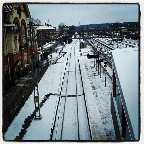
Alvesta train station, and view from the bridge above the rails

Svensk sommar från tågfönstret

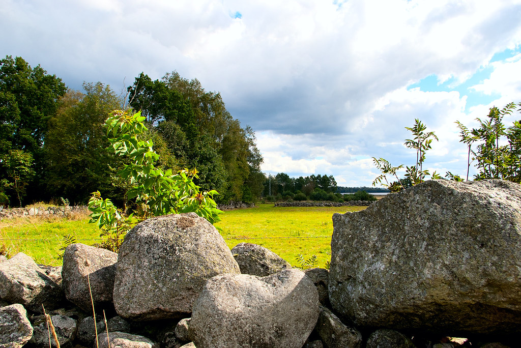
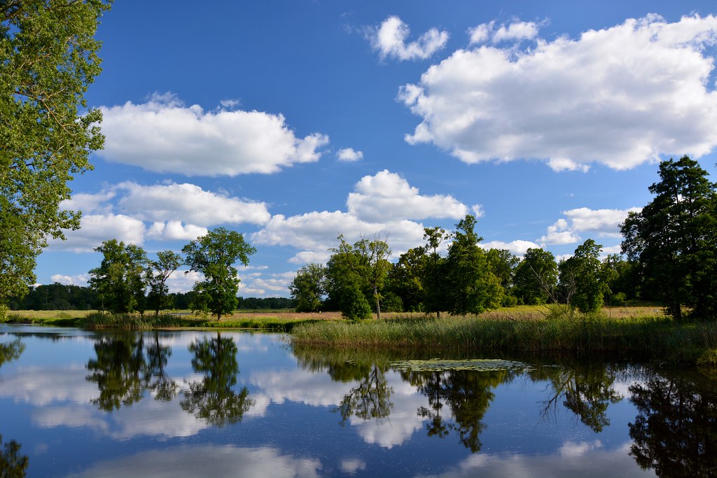
The View

The View
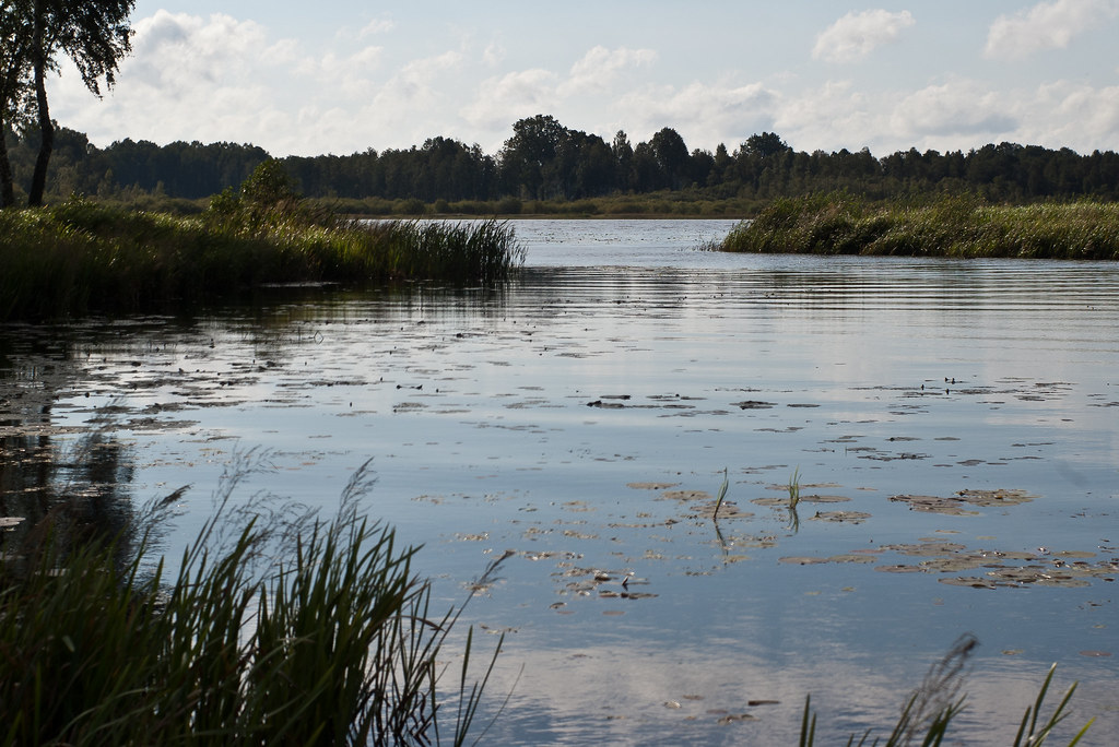
G13. The dead man in Alekärret (Alder marsh)

G13. The dead man in Alekärret (Alder marsh)
View from today's office. #caseofmondays
My gym view. Can't complain.

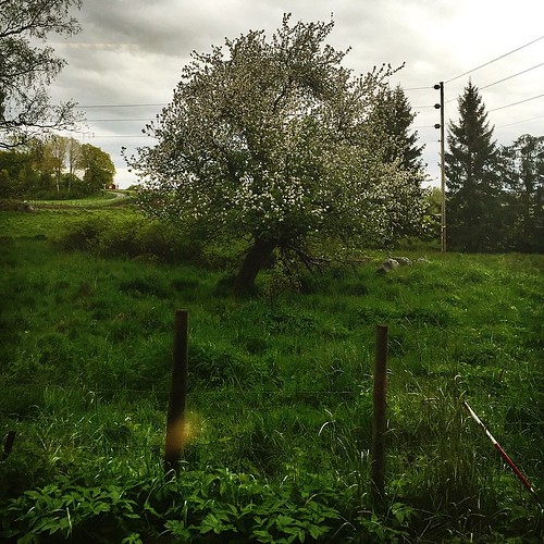
...new day

IMG_6481.jpg
26. The necken in Hjärtanäs
28. The necken in Blädinge
29. The Blood Mountain

Winter fog
28. The necken in Blädinge

A walk in the snow #9

d300s 11#66

28. The necken in Blädinge
28. The necken in Blädinge

29. The Blood Mountain
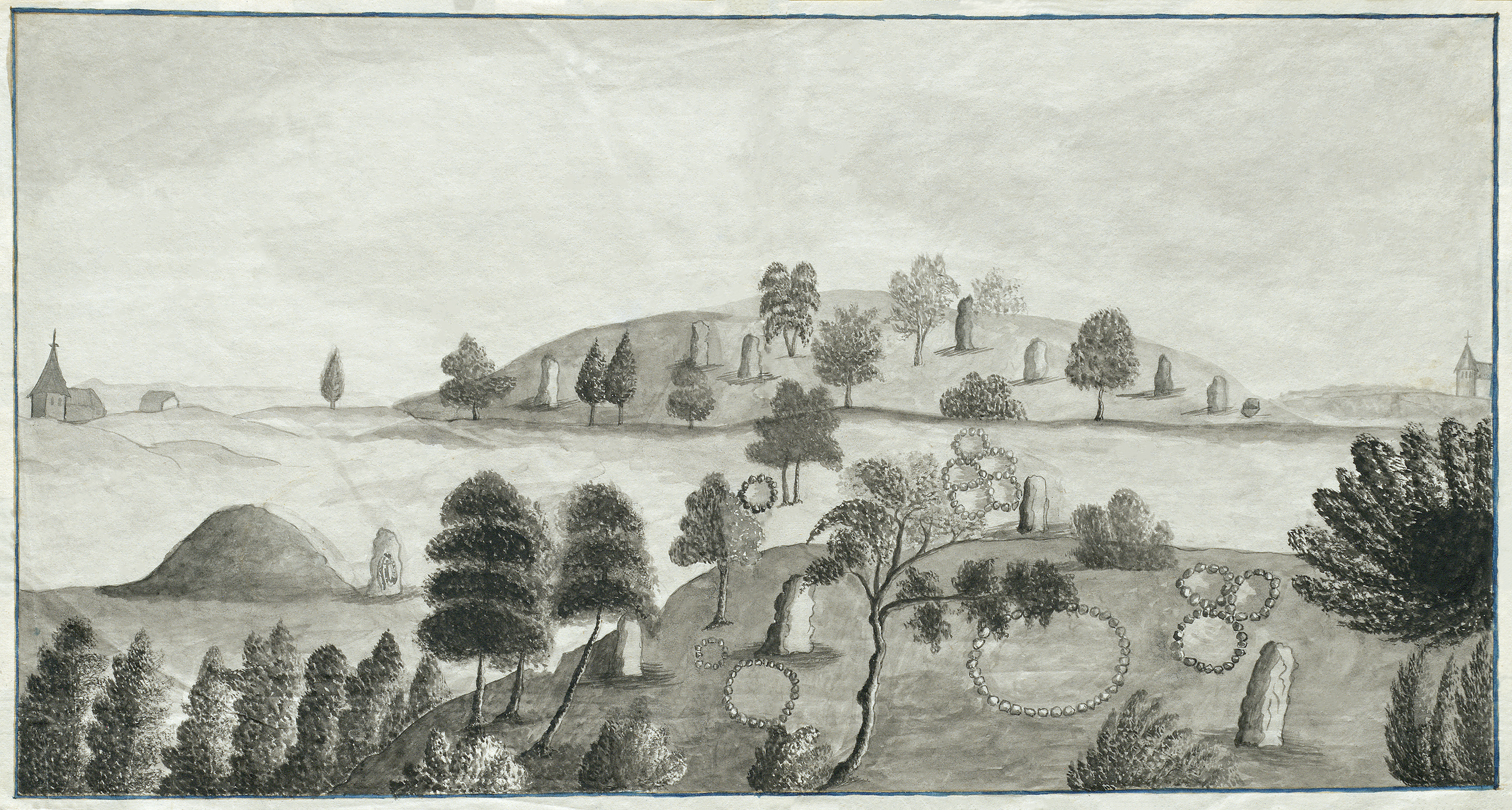
Prehistoric grave fields and a rune stone, Skatelöv, Småland, Sweden

Timber yard - Grimslöv, Kronoberg
Huseby bruk - Småland
Topographic Map of Alvesta C, Sweden
Find elevation by address:

Places in Alvesta C, Sweden:
Places near Alvesta C, Sweden:
OBY SÄTERI 2, 91 Alvesta, Sweden
Kronoberg County
Lönashult
Älmhult
Diö
Älmhult N
BORSHULT 45, 71 Diö, Sweden
Stenbrohult
Helgö Södergård 6, 93 Växjö, Sweden
Växjö
Hovshaga-sandsbro
Bondegårdsvägen 38, 45 Växjö, Sweden
Dalbo
Söder-Öster
Bor
Älmhult
Örnvägen 17, 42 Växjö, Sweden
Toftasjövägen 156
Tingsryd Nv
Växjö N
Recent Searches:
- Elevation of Congressional Dr, Stevensville, MD, USA
- Elevation of Bellview Rd, McLean, VA, USA
- Elevation of Stage Island Rd, Chatham, MA, USA
- Elevation of Shibuya Scramble Crossing, 21 Udagawacho, Shibuya City, Tokyo -, Japan
- Elevation of Jadagoniai, Kaunas District Municipality, Lithuania
- Elevation of Pagonija rock, Kranto 7-oji g. 8"N, Kaunas, Lithuania
- Elevation of Co Rd 87, Jamestown, CO, USA
- Elevation of Tenjo, Cundinamarca, Colombia
- Elevation of Côte-des-Neiges, Montreal, QC H4A 3J6, Canada
- Elevation of Bobcat Dr, Helena, MT, USA