Elevation of Alto, GA, USA
Location: United States > Georgia > Banks County >
Longitude: -83.573784
Latitude: 34.4673222
Elevation: 427m / 1401feet
Barometric Pressure: 96KPa
Elevation Map:
Satellite Map:
Related Photos:

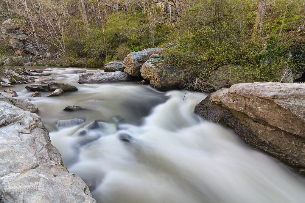
View of a Creek

IMG_6122 - "Photo of the Day for January 10th 2012"

The John Burnette Family - Mexico

Foot's Eye View
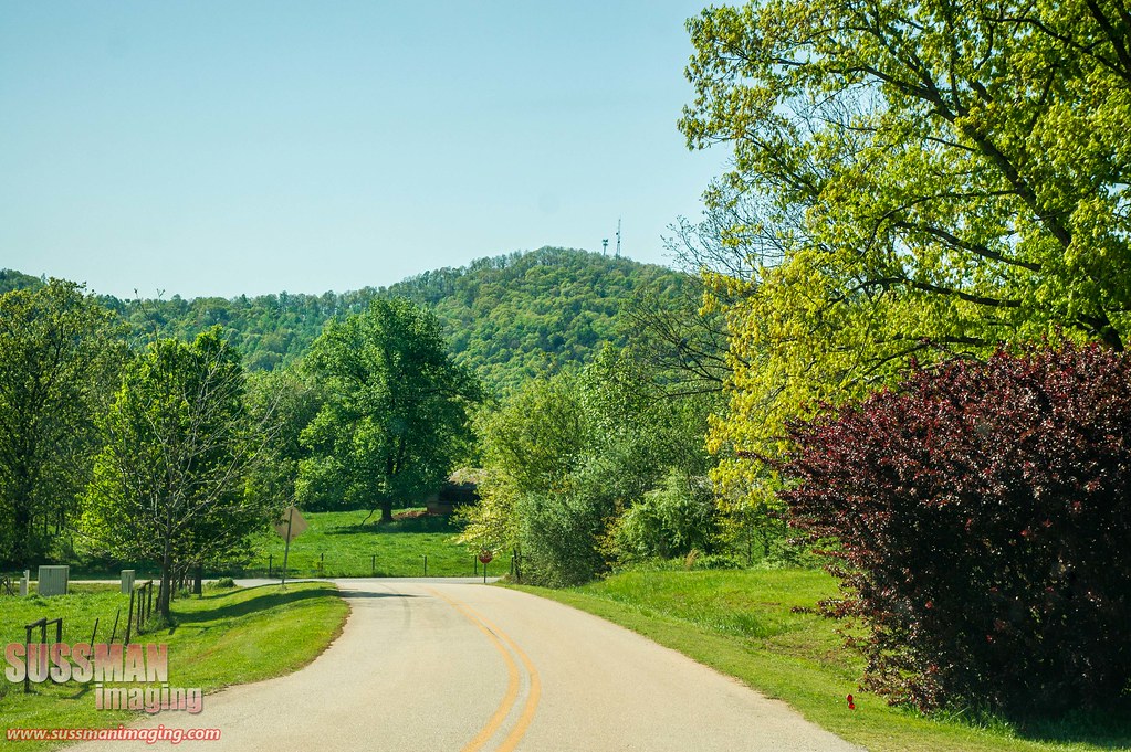
Country road

Holly Springs Baptist Church Cemetery

Grand Tetons

Skitts Mountain

Bailey at Jekyll island

Grand Teton National Park
Pit stop for a diaper change in The Great Smoky Mountains.
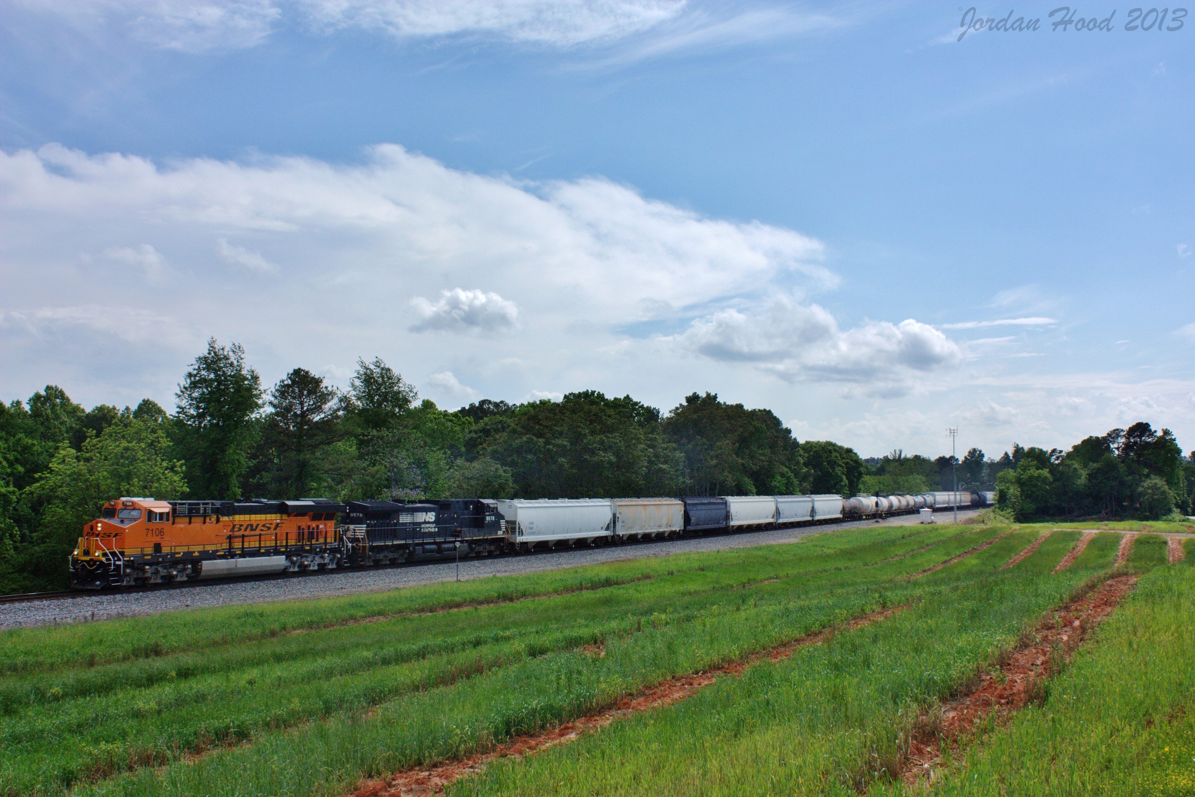
NS 172

Wet Marsh

Afternoon Dew Grass

the river
Mossy Creek
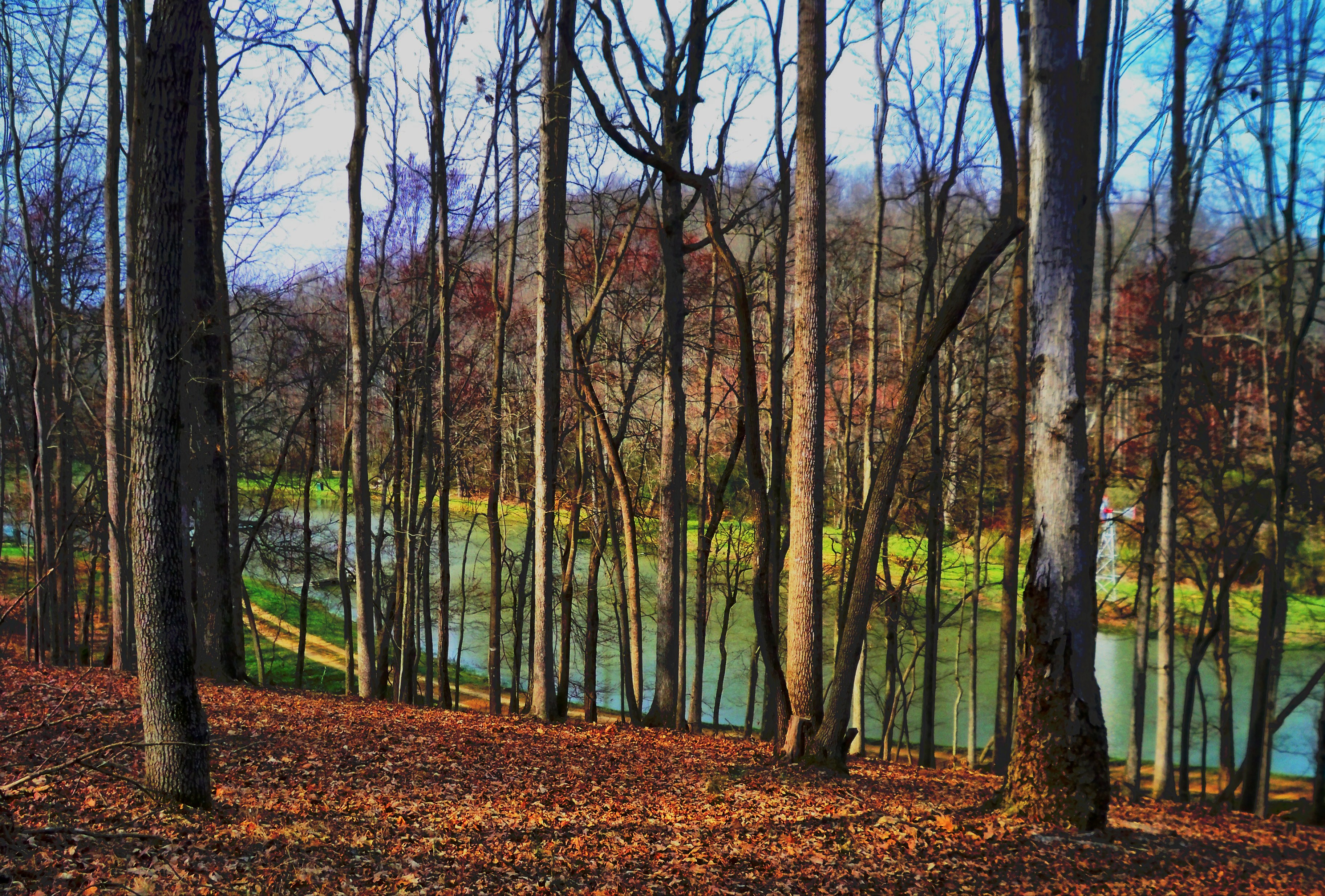
woods 2

Tall grass
Topographic Map of Alto, GA, USA
Find elevation by address:

Places in Alto, GA, USA:
Places near Alto, GA, USA:
282 Alto-mud Creek Rd
282 Alto-mud Creek Rd
2334 Apple Pie Ridge Rd
Raoul
Duncan Bridge Rd, Alto, GA, USA
110 Jenny Ct #12
2689 Alto-mud Creek Rd
937 Purvis Rd
Baldwin
1650 Crane Mill Rd
1200 Smokerise Dr
Belk
Tall Oaks Drive
N Main St, Cornelia, GA, USA
Cornelia
302 Grandview Cir
2513 J Warren Rd
Pea Ridge Road
709 Old Mill Rd
Chenocetah Mountain
Recent Searches:
- Elevation of Corso Fratelli Cairoli, 35, Macerata MC, Italy
- Elevation of Tallevast Rd, Sarasota, FL, USA
- Elevation of 4th St E, Sonoma, CA, USA
- Elevation of Black Hollow Rd, Pennsdale, PA, USA
- Elevation of Oakland Ave, Williamsport, PA, USA
- Elevation of Pedrógão Grande, Portugal
- Elevation of Klee Dr, Martinsburg, WV, USA
- Elevation of Via Roma, Pieranica CR, Italy
- Elevation of Tavkvetili Mountain, Georgia
- Elevation of Hartfords Bluff Cir, Mt Pleasant, SC, USA