Elevation of Althütte, Germany
Location: Germany > Baden-württemberg > Stuttgart > Rems-murr-kreis >
Longitude: 9.5745879
Latitude: 48.9137654
Elevation: 489m / 1604feet
Barometric Pressure: 96KPa
Elevation Map:
Satellite Map:
Related Photos:

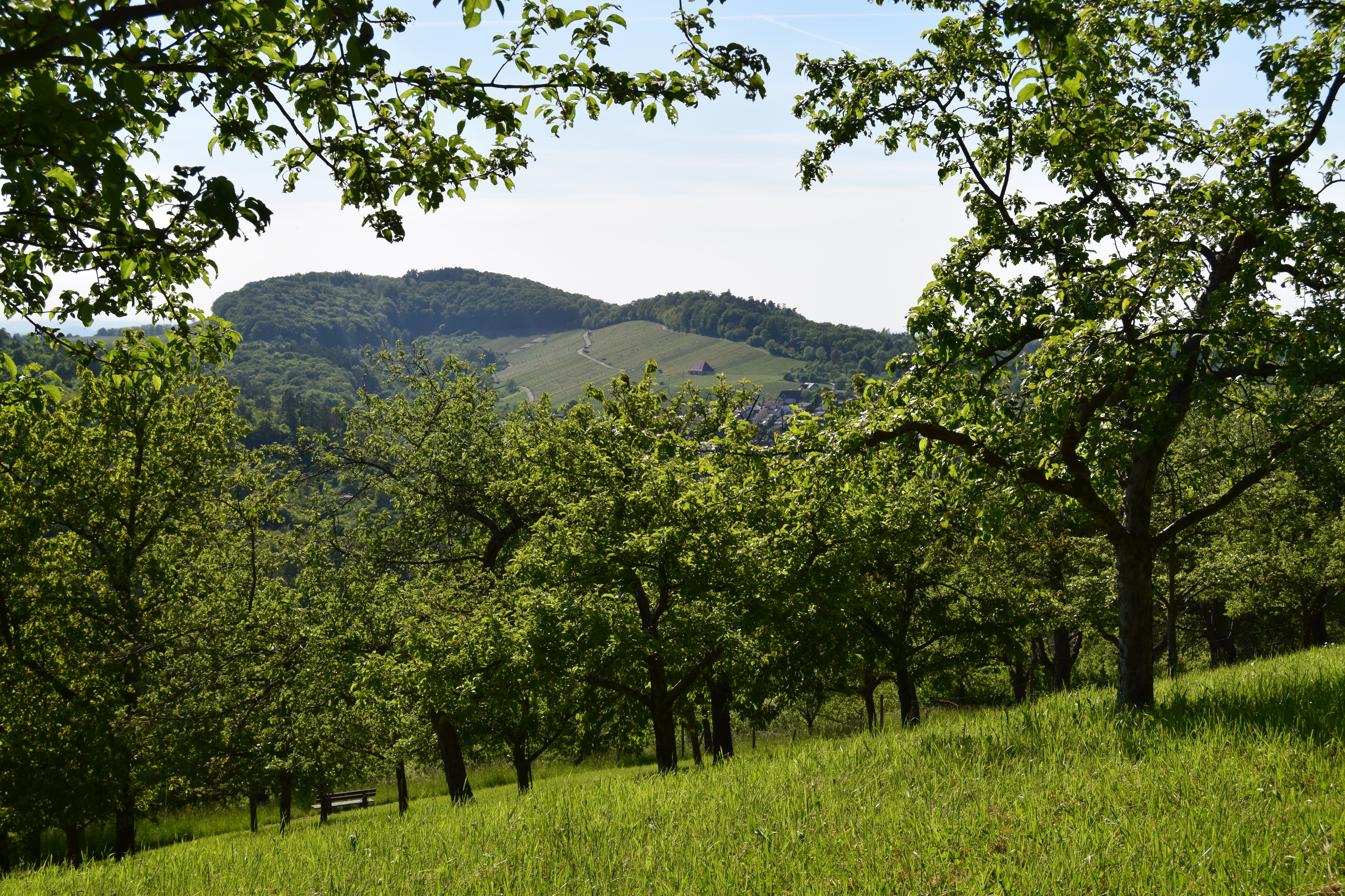
Roter Rahmen / Red Frame

Hummelgautsche II - Welzheimtour - III

journey into a new world

imagine there is no heaven [HDR]

Neuschwanstein Castle
Little Ray of Hope

Schorndorf Schloss Innenansicht - castle schorndorf interior view
colors of autumn

Travelers in subway

Morning Light

one more good use for a cellphone (my cellphone acting as a lightsource for the blue line thinge linge ling )
Rural City

Backnang 10_1483

Oberer Wasserfall in der Hörschbachschlucht 151227_095
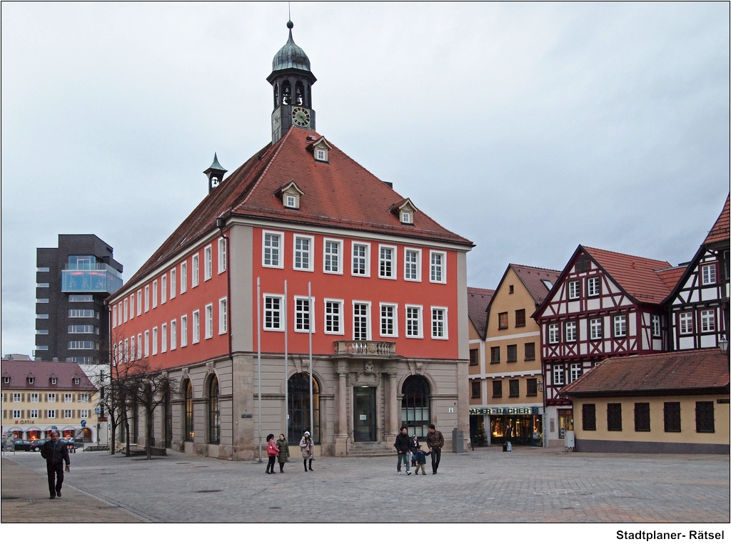
Stadtplaner- Rätsel

Unterer Wasserfall in der Hörschbachschlucht 151227_047
Clear view

Glockenspiel in Backnang 10_1495
Top view
Spinnweben-Fenster / Cobwebby Window
20050501 0051 View from the Stadtkirche Schorndorf
Bit of Bliss.

DB 143 071 | Schleißweiler

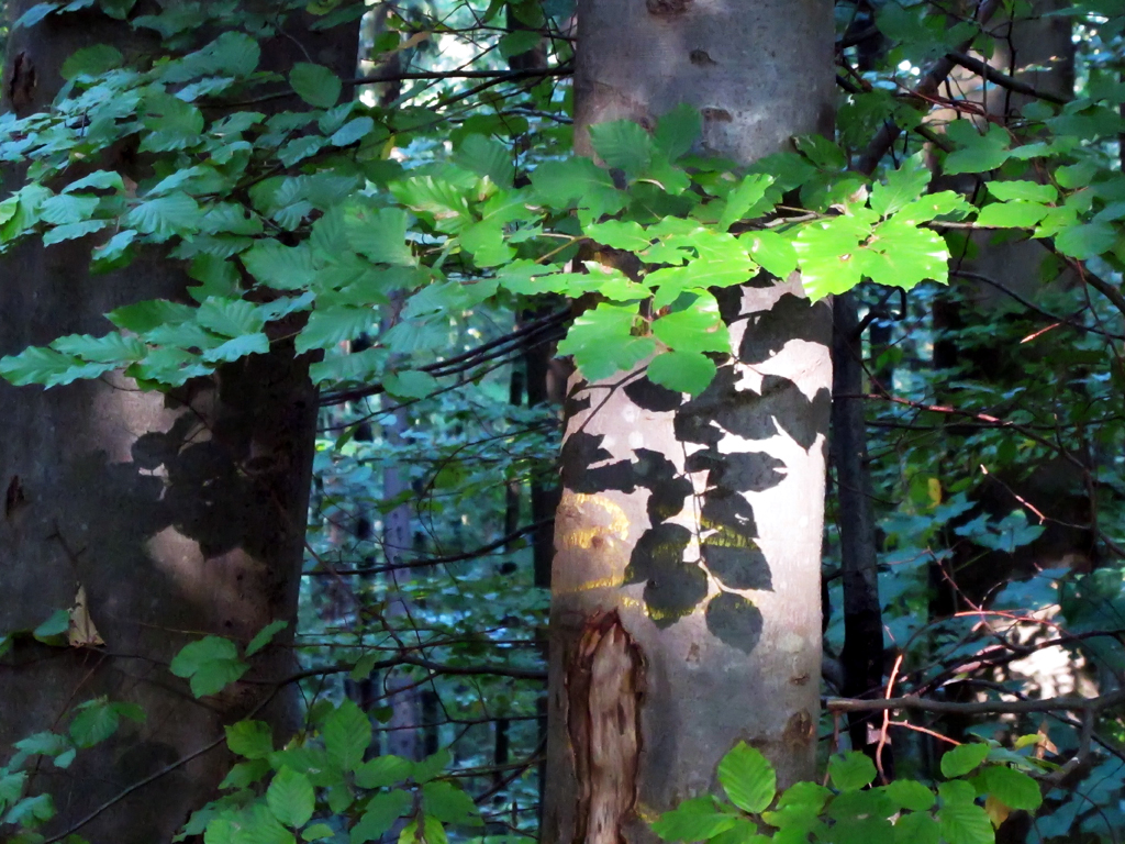
stream in forest

Spraitbach - Reichenbachsee

DB 114 017 | Mittelrot

PanoramaBürg

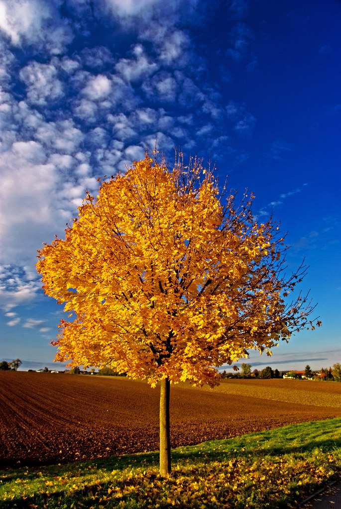
Golden Leaves

Mittelrot (1.08 km South) - IMG_093650
=|=|=|=
Winterbach - 2013 P4258103-P04-20%

Murrhardt forest - Lightpainting - I

Burgstall summer pano - I

Ebnisee zu Beginn des Herbstes

Ebnisee in the Swabian forest

Ebnisee in the Swabian forest
MRCE 193 612 + 193 854, Aushubzug Wilhelmsglück - Stuttgart Nord, Mittelrot
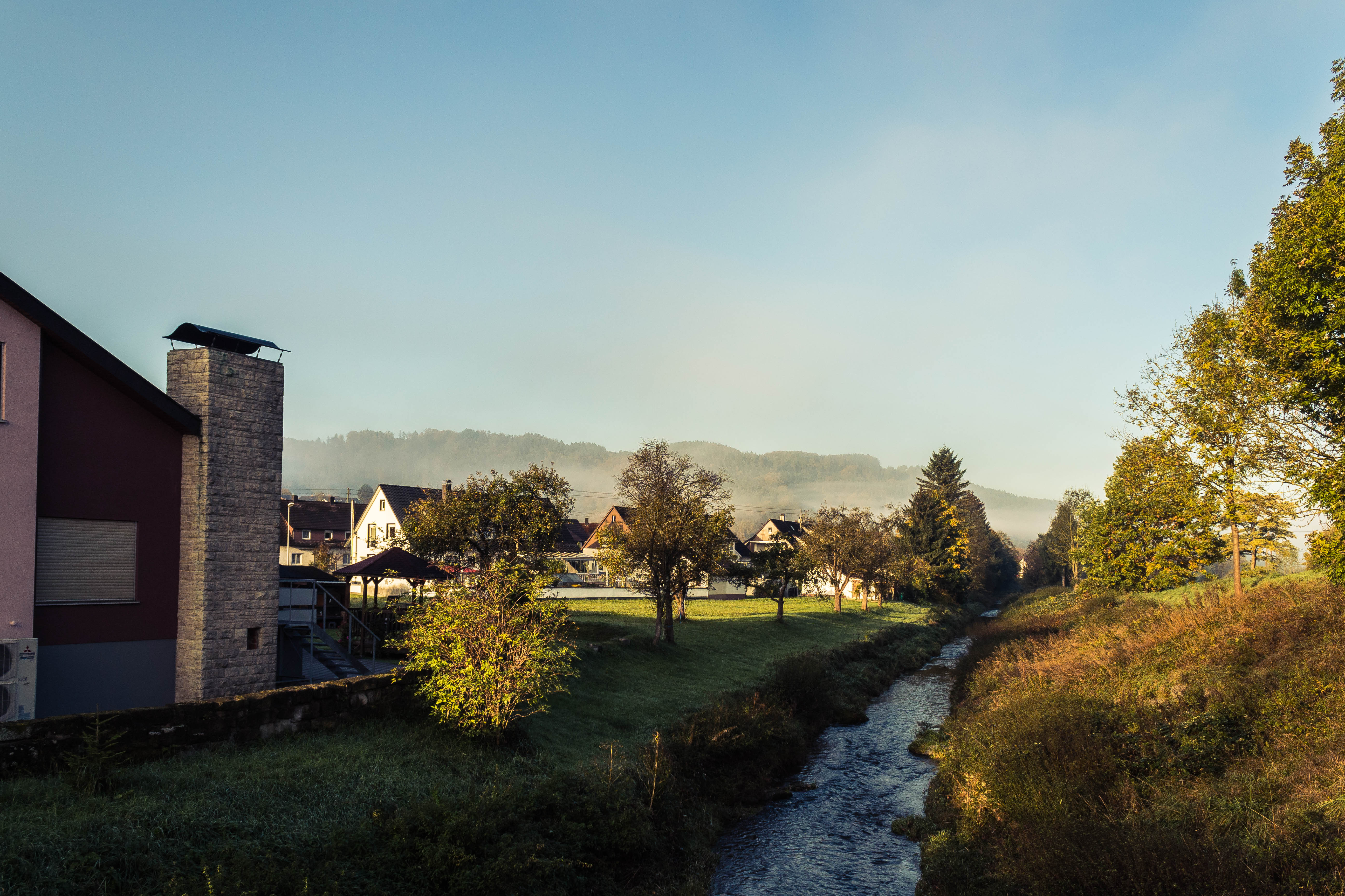
Grüne Oase

Breitenfürst (0.93 km South) - IMG_101565

Alfdorf (0.79 km North-East) - IMG_101570
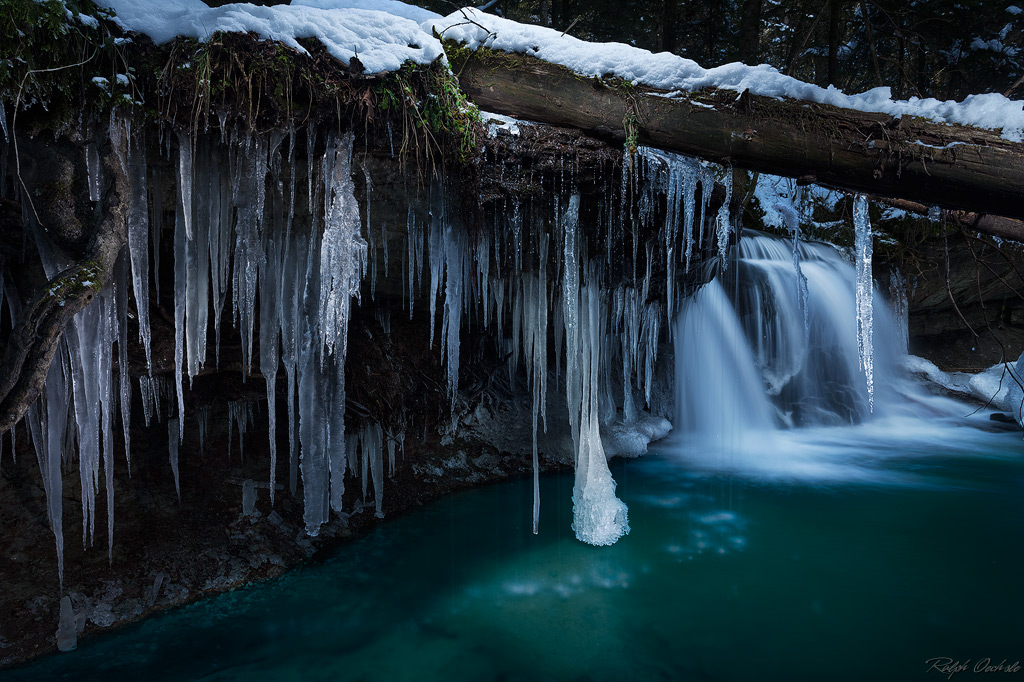
Ice creek fall
Topographic Map of Althütte, Germany
Find elevation by address:

Places near Althütte, Germany:
Steinbach 3, Rudersberg, Germany
Rems-murr-kreis
Rudersberg
Auenwald
Im Täle 16, Auenwald, Germany
Kaisersbach
Trailhof 31, Auenwald, Germany
Murrhardt
Welzheim
Utzenhof 8, Auenwald, Germany
Ebersberg 10, Kaisersbach, Germany
Harnersberg 9, Murrhardt, Germany
Sulzbach An Der Murr
Marbächle 21, Oberrot, Germany
Vaihinghof 2, Alfdorf, Germany
Am Mühlbach 2, Oberrot, Germany
Oberrot
Sellbachweg 6, Oberrot, Germany
Fichtenberg
Humbach 5, Gschwend, Germany
Recent Searches:
- Elevation of Sunset Dr, Hernando, MS, USA
- Elevation of Lake Rotoroa, Tasman, New Zealand
- Elevation of George St, New Bern, NC, USA
- Elevation of Cove Rd, Jasper, GA, USA
- Elevation of Cove Rd, Jasper, GA, USA
- Elevation of South Yankee Meadow Road, Forest Road, Paragonah, UT, USA
- Elevation of SW Elderview Dr, Sherwood, OR, USA
- Elevation of Hickory St, Greenville, NC, USA
- Elevation of Poplar Ln, Guffey, CO, USA
- Elevation of Falling Spring Rd, Clyde, NC, USA