Elevation of Alternativer Bärenpark Worbis, Duderstädter Allee 49, Leinefelde-Worbis, Germany
Location: Germany > Thuringia > Leinefelde-worbis > Worbis >
Longitude: 10.349166
Latitude: 51.427362
Elevation: 343m / 1125feet
Barometric Pressure: 97KPa
Elevation Map:
Satellite Map:
Related Photos:
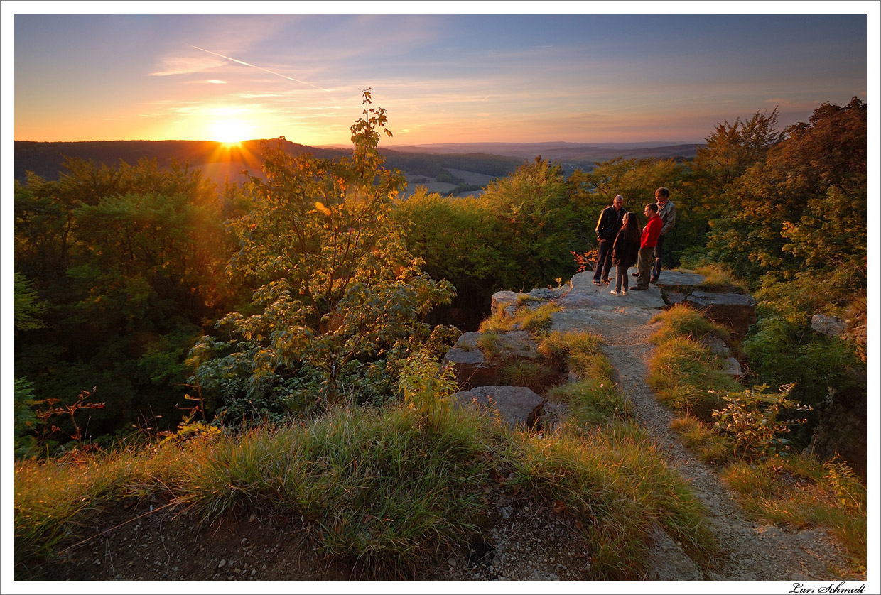
Sonnenuntergang am Kanstein

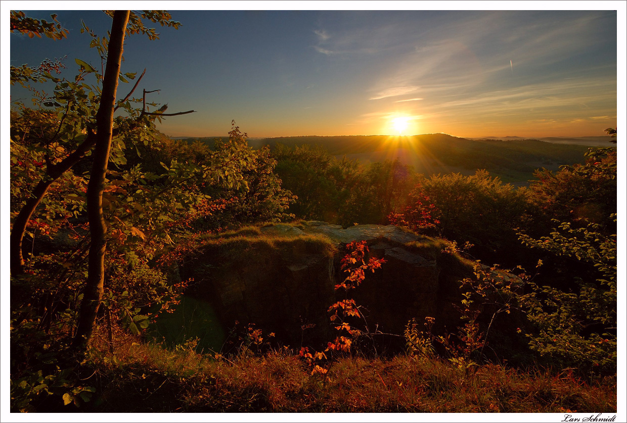
Sonnenuntergang am Kanstein
Sonnenuntergang am Kanstein
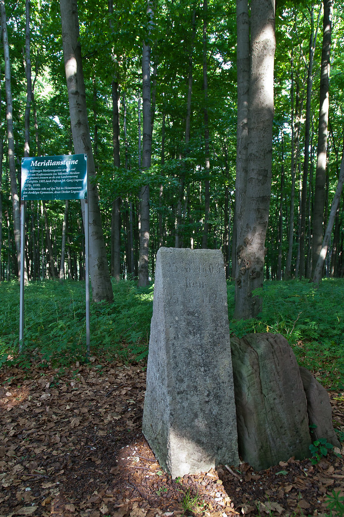
Kurfürstenstein Heilbad Heiligenstadt
Topographic Map of Alternativer Bärenpark Worbis, Duderstädter Allee 49, Leinefelde-Worbis, Germany
Find elevation by address:

Places near Alternativer Bärenpark Worbis, Duderstädter Allee 49, Leinefelde-Worbis, Germany:
Worbis
Leinefelde-worbis
Neumühle 10, Leinefelde-Worbis, Germany
Hundeshagen
Kirchenweg 10, Hundeshagen, Germany
Kleinbartloffer Str. 4, Niederorschel, Germany
Niederorschel
Oberorschel
Teistungen
Reifensteiner Str. 10, Dünwald, Germany
Schacht Ii
Eichsfeld
Großbodungen
Wallrode
6b
Zaunröden
Hauptstraße 9, Dünwald, Germany
Hauptstraße 27, Rehungen, Germany
Rehungen
Sollstedt
Recent Searches:
- Elevation of Corso Fratelli Cairoli, 35, Macerata MC, Italy
- Elevation of Tallevast Rd, Sarasota, FL, USA
- Elevation of 4th St E, Sonoma, CA, USA
- Elevation of Black Hollow Rd, Pennsdale, PA, USA
- Elevation of Oakland Ave, Williamsport, PA, USA
- Elevation of Pedrógão Grande, Portugal
- Elevation of Klee Dr, Martinsburg, WV, USA
- Elevation of Via Roma, Pieranica CR, Italy
- Elevation of Tavkvetili Mountain, Georgia
- Elevation of Hartfords Bluff Cir, Mt Pleasant, SC, USA