Elevation of Alta Mountain, Montana, USA
Location: United States > Montana > Jefferson County > Clancy >
Longitude: -112.10222
Latitude: 46.3699301
Elevation: 1884m / 6181feet
Barometric Pressure: 81KPa
Elevation Map:
Satellite Map:
Related Photos:
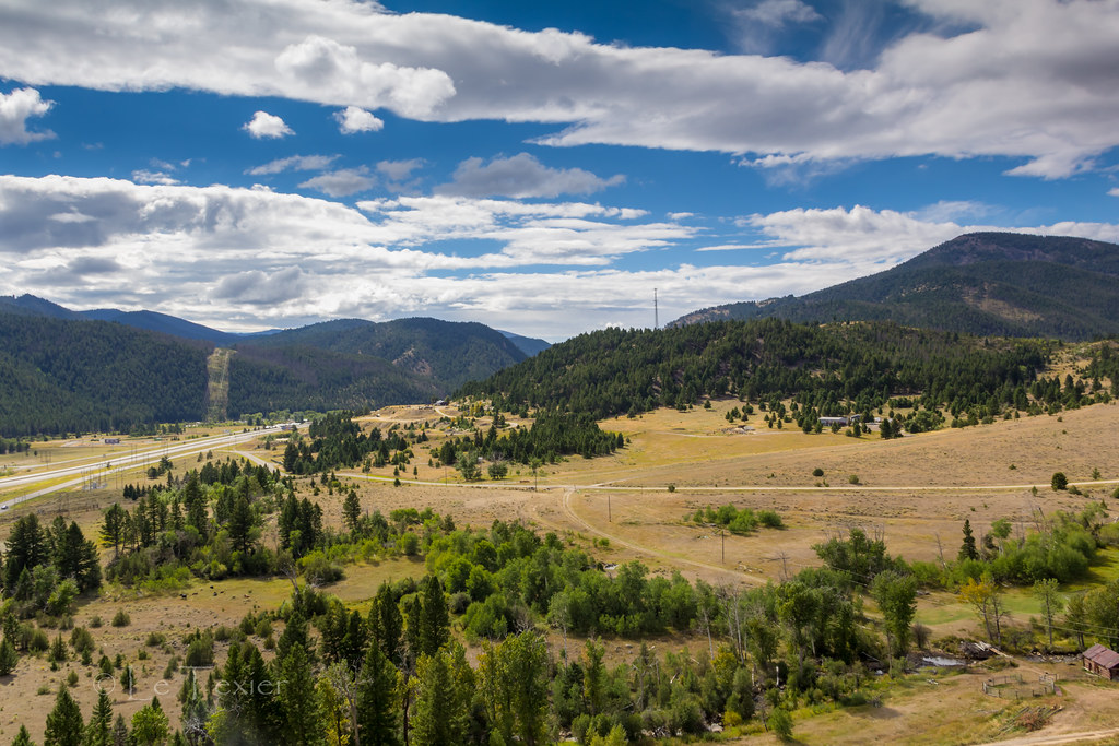
Ranch View
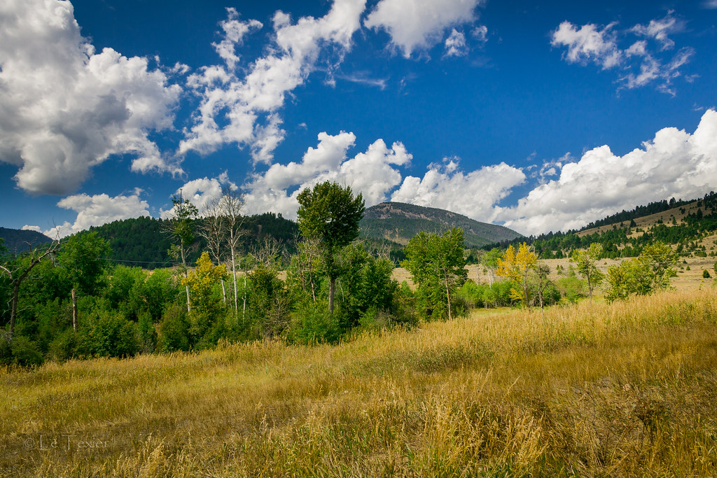
Le Texier Ranch
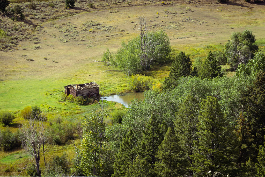
Old hog barn and beaver pond
Topographic Map of Alta Mountain, Montana, USA
Find elevation by address:

Places near Alta Mountain, Montana, USA:
Valparaiso Mountain
98 Meadowlark Trail
Amazon
Amazon Rd, Boulder, MT, USA
75 Powerline Rd
Occidental Plateau
18 Mountain Aire Rd
Jefferson City
121 Wood Creek Rd
Upper Valley Rd, Boulder, MT, USA
Mount Thompson
149 Depot Hill Rd
125 N Main St
Boulder
Rocker Peak
Elkhorn
Basin
Ryan Mountain
13 Boulder St
Elkhorn Peak
Recent Searches:
- Elevation of Warwick, RI, USA
- Elevation of Fern Rd, Whitmore, CA, USA
- Elevation of 62 Abbey St, Marshfield, MA, USA
- Elevation of Fernwood, Bradenton, FL, USA
- Elevation of Felindre, Swansea SA5 7LU, UK
- Elevation of Leyte Industrial Development Estate, Isabel, Leyte, Philippines
- Elevation of W Granada St, Tampa, FL, USA
- Elevation of Pykes Down, Ivybridge PL21 0BY, UK
- Elevation of Jalan Senandin, Lutong, Miri, Sarawak, Malaysia
- Elevation of Bilohirs'k