Elevation of Alpine Drive, Alpine Dr, Packwood, WA, USA
Location: United States > Washington > Packwood >
Longitude: -121.67119
Latitude: 46.6135256
Elevation: 344m / 1129feet
Barometric Pressure: 97KPa
Elevation Map:
Satellite Map:
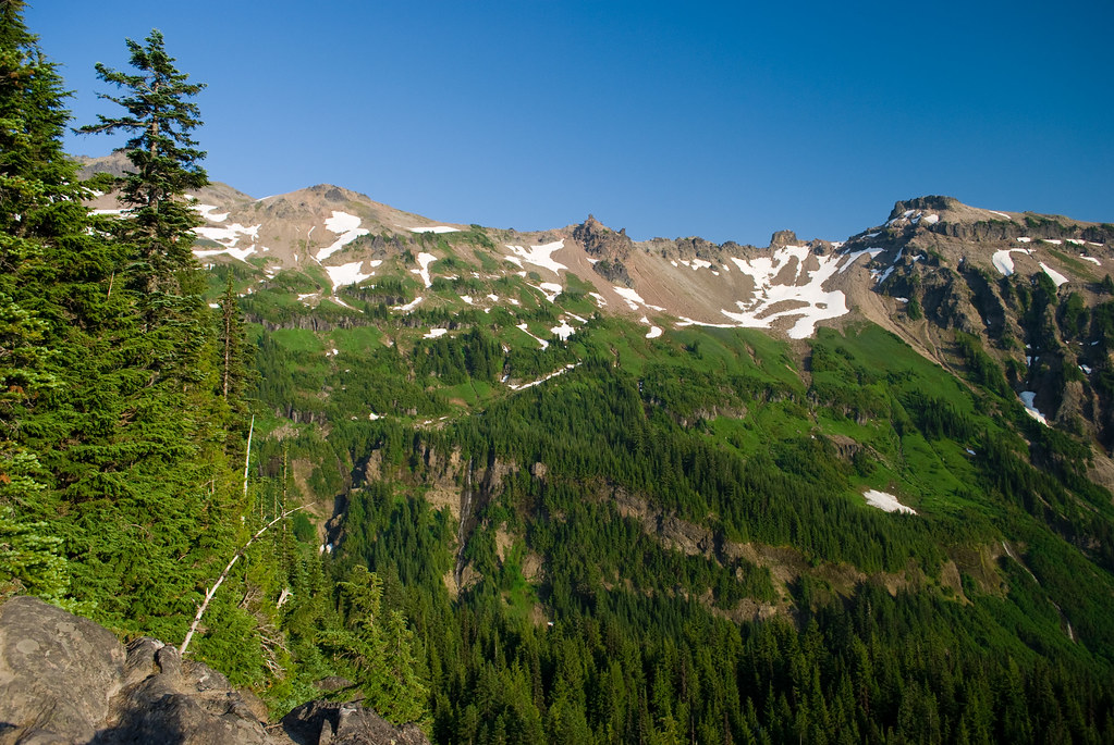
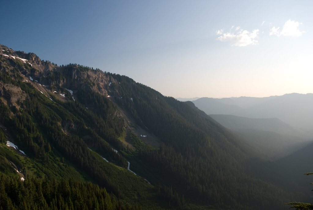
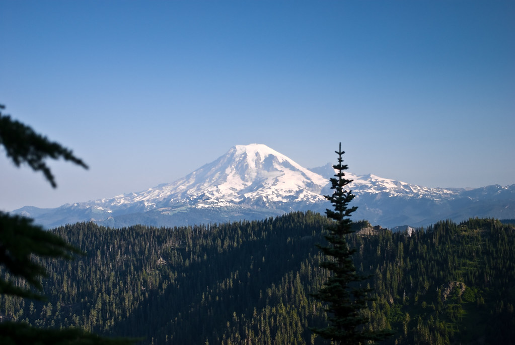
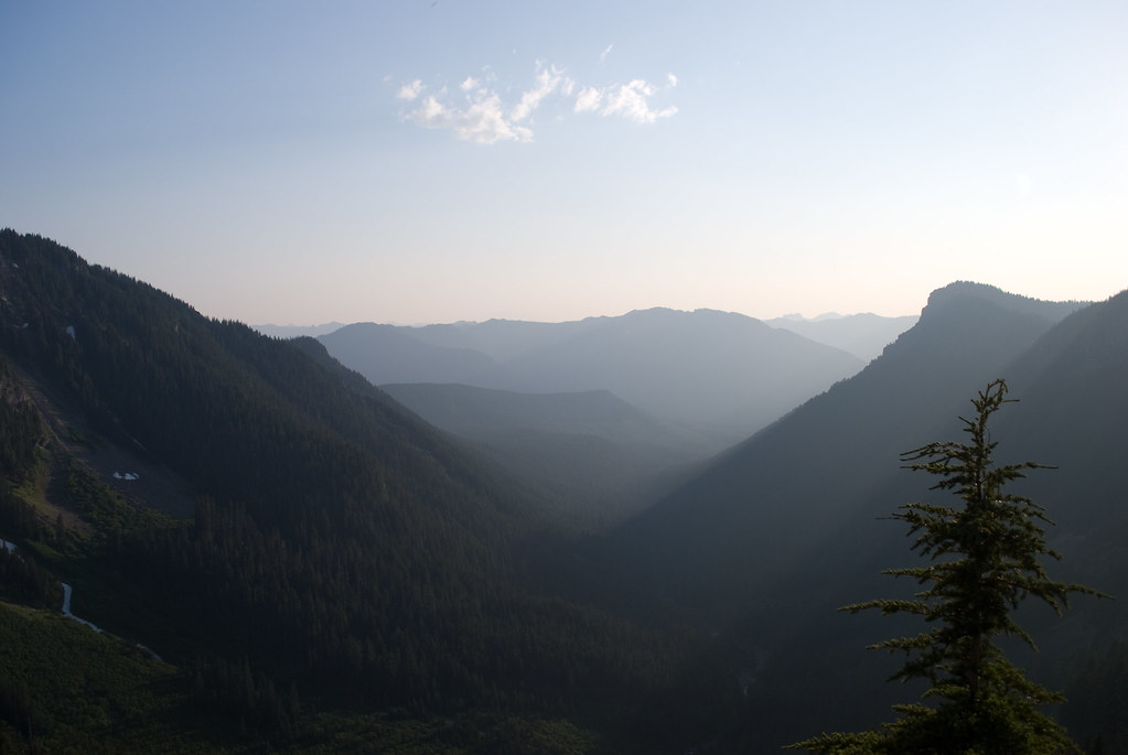
Related Photos:

Walk On
Solitude of the morning
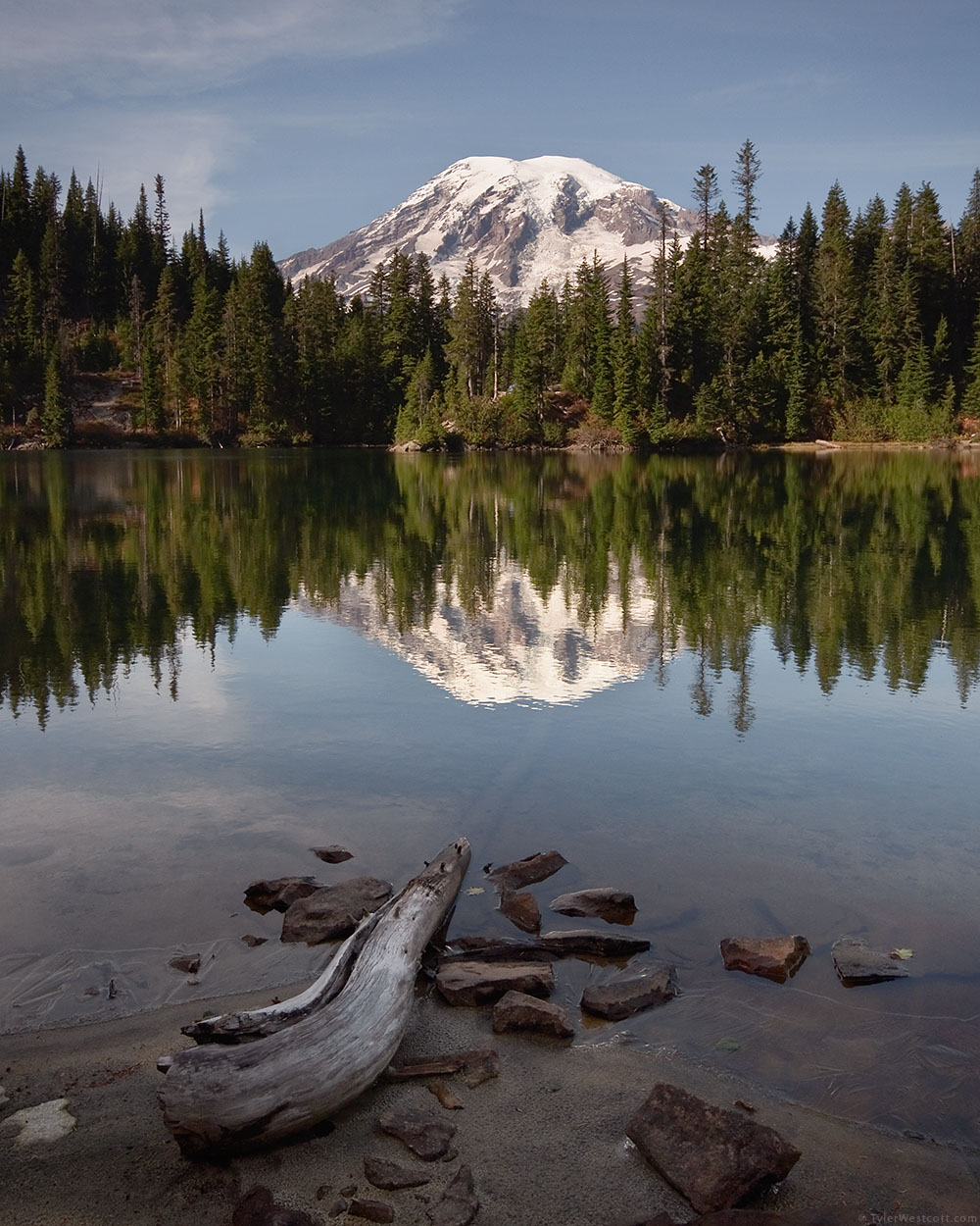
Snow Lake Reflection, Mount Rainier National Park
All That You Need
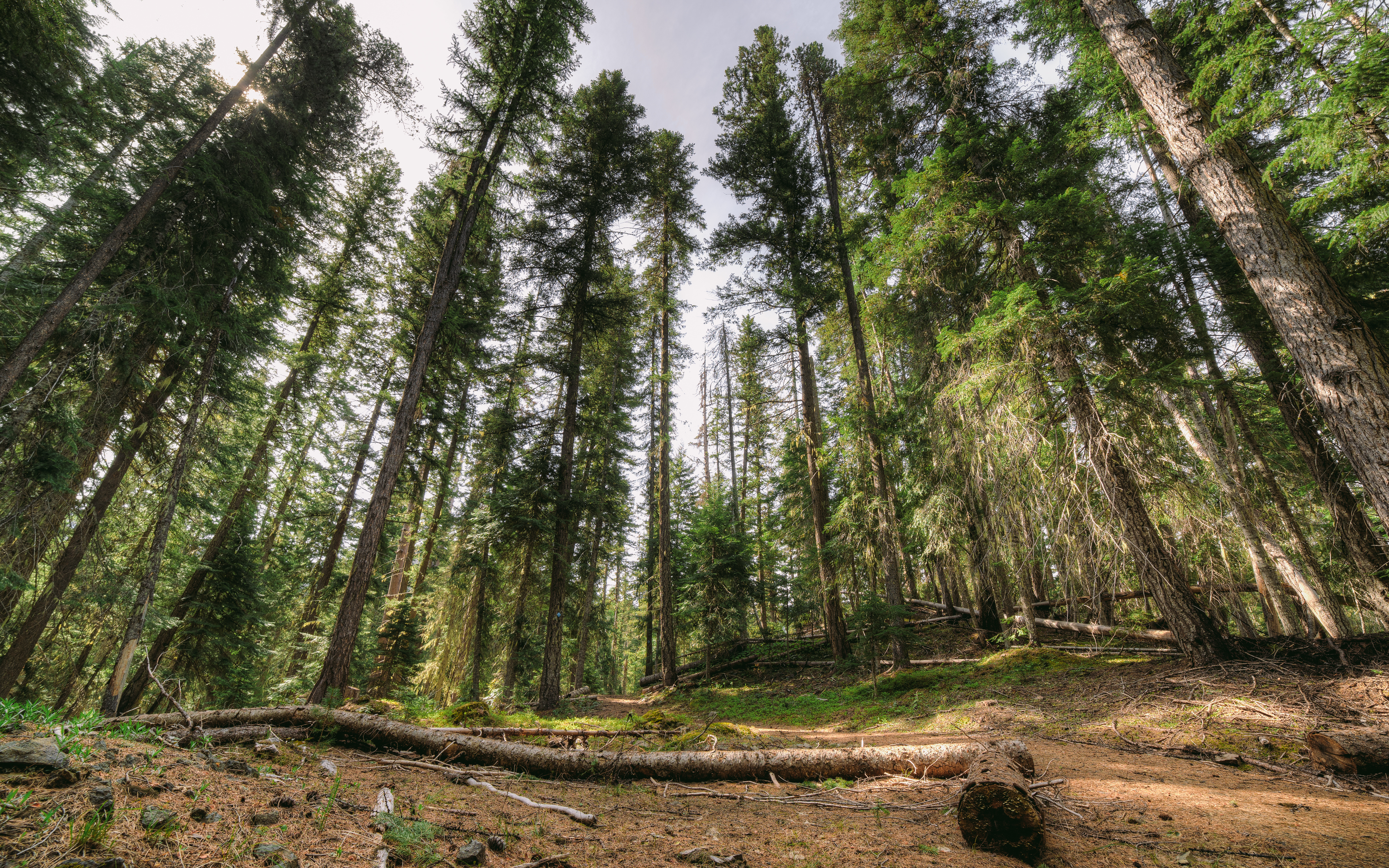
Through The Trees
Let's Go Discover Things...
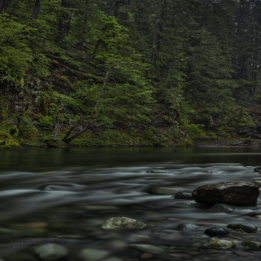
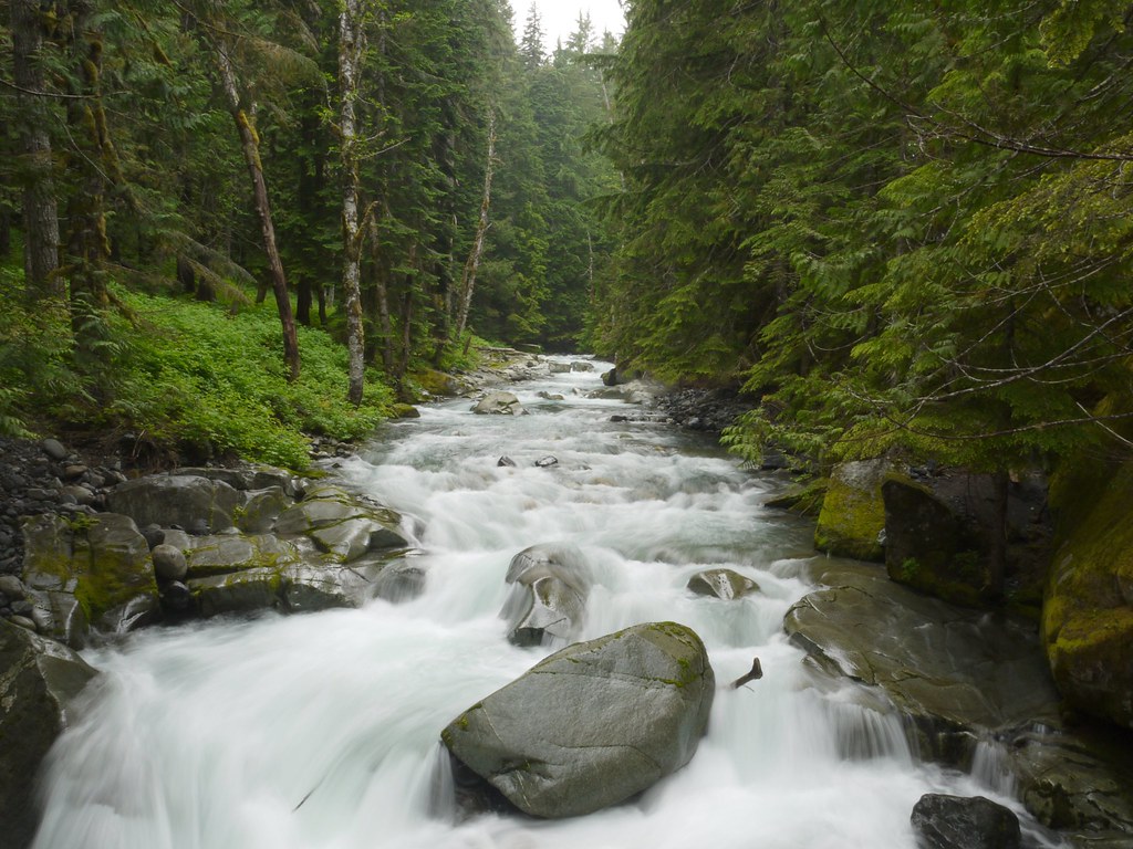
Log Jammin'
Standing In Water
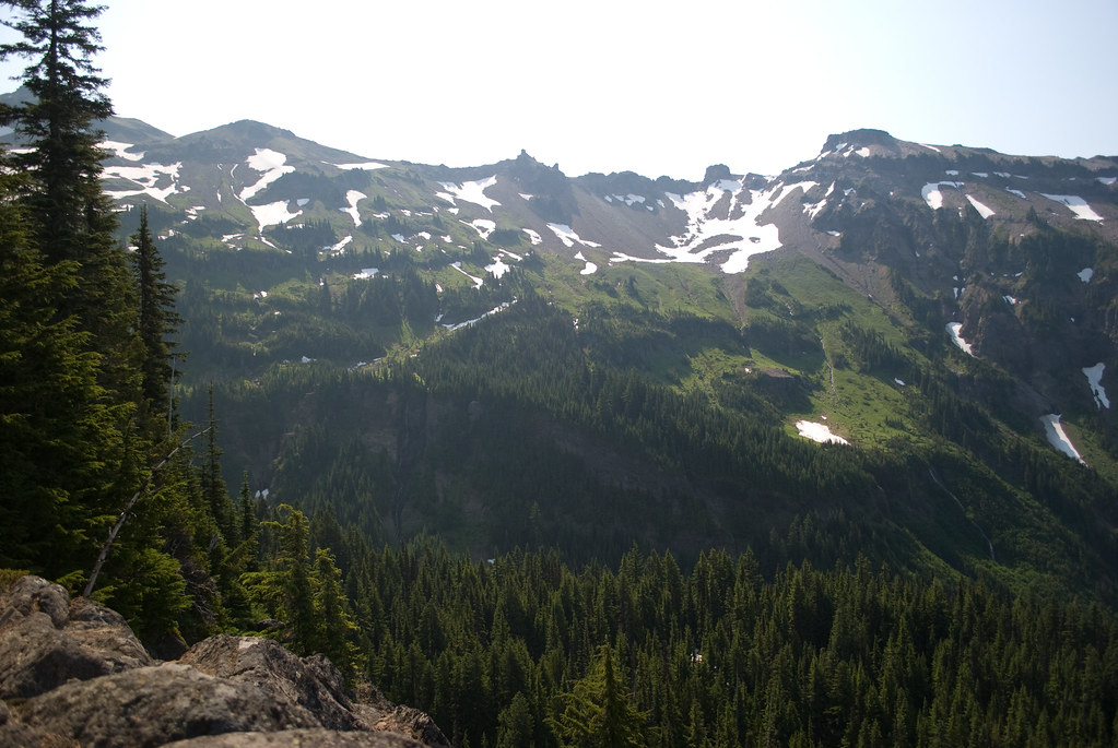
Heart Lake Hike 090
Heart Lake Hike 095
Heart Lake Hike 094

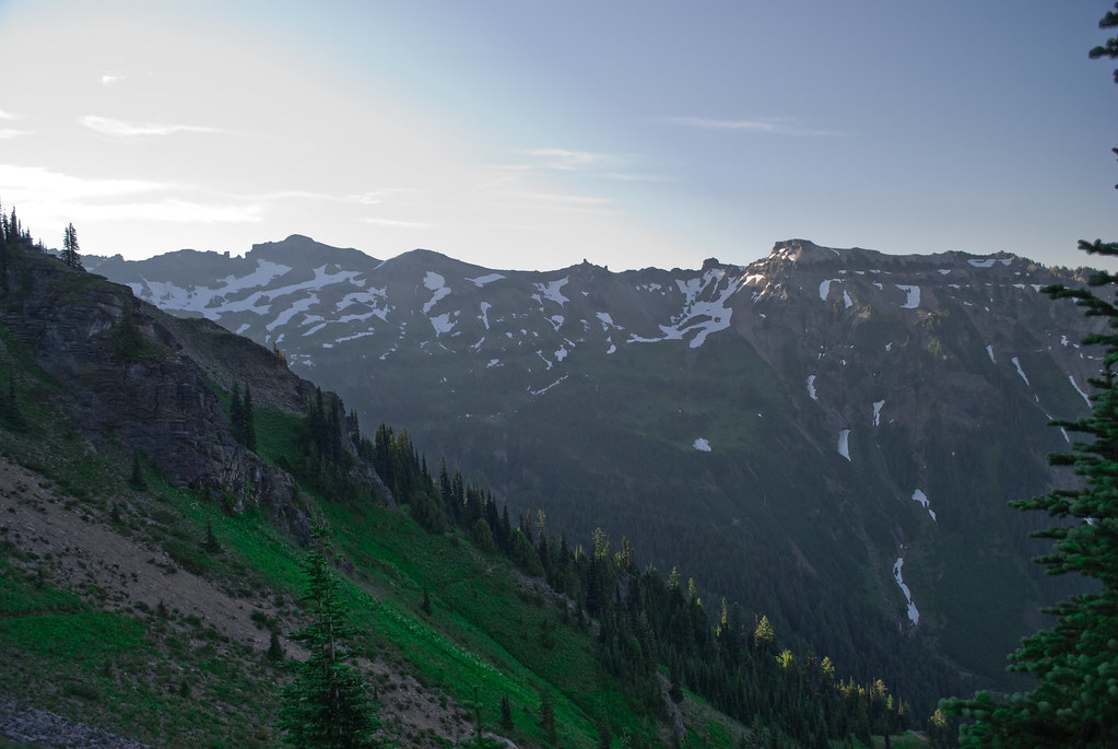
A different point of view.
Heart Lake Hike 107
Heart Lake Hike 093
Heart Lake Hike 026
Heart Lake Hike 031
Heart Lake Hike 027
Heart Lake Hike 029
Heart Lake Hike 102
a2001-19-15
Heart Lake Hike 028

Rainier from Skate Creek2
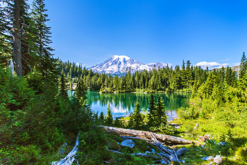
Snow Lake and Mt. Rainier
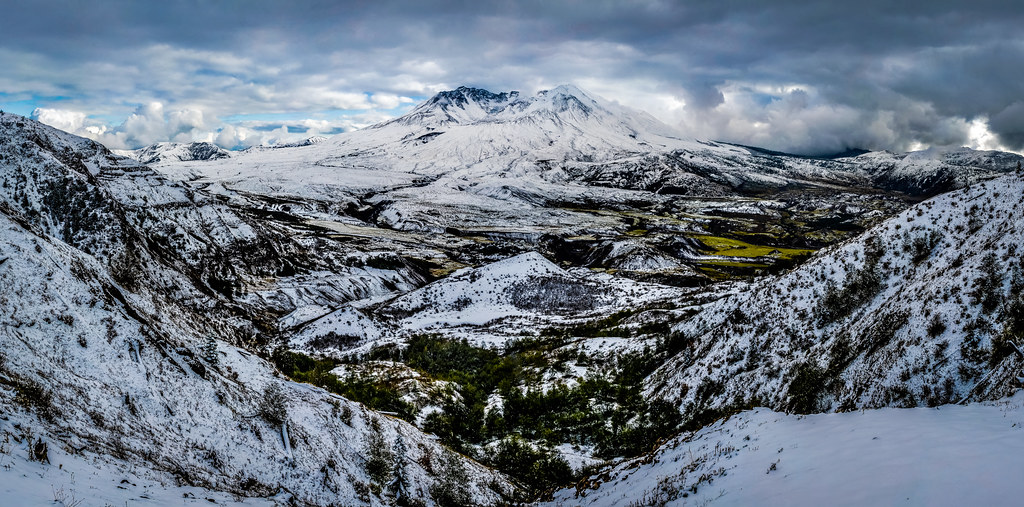
Mount St. Helens

Ayance Canyon Palisades
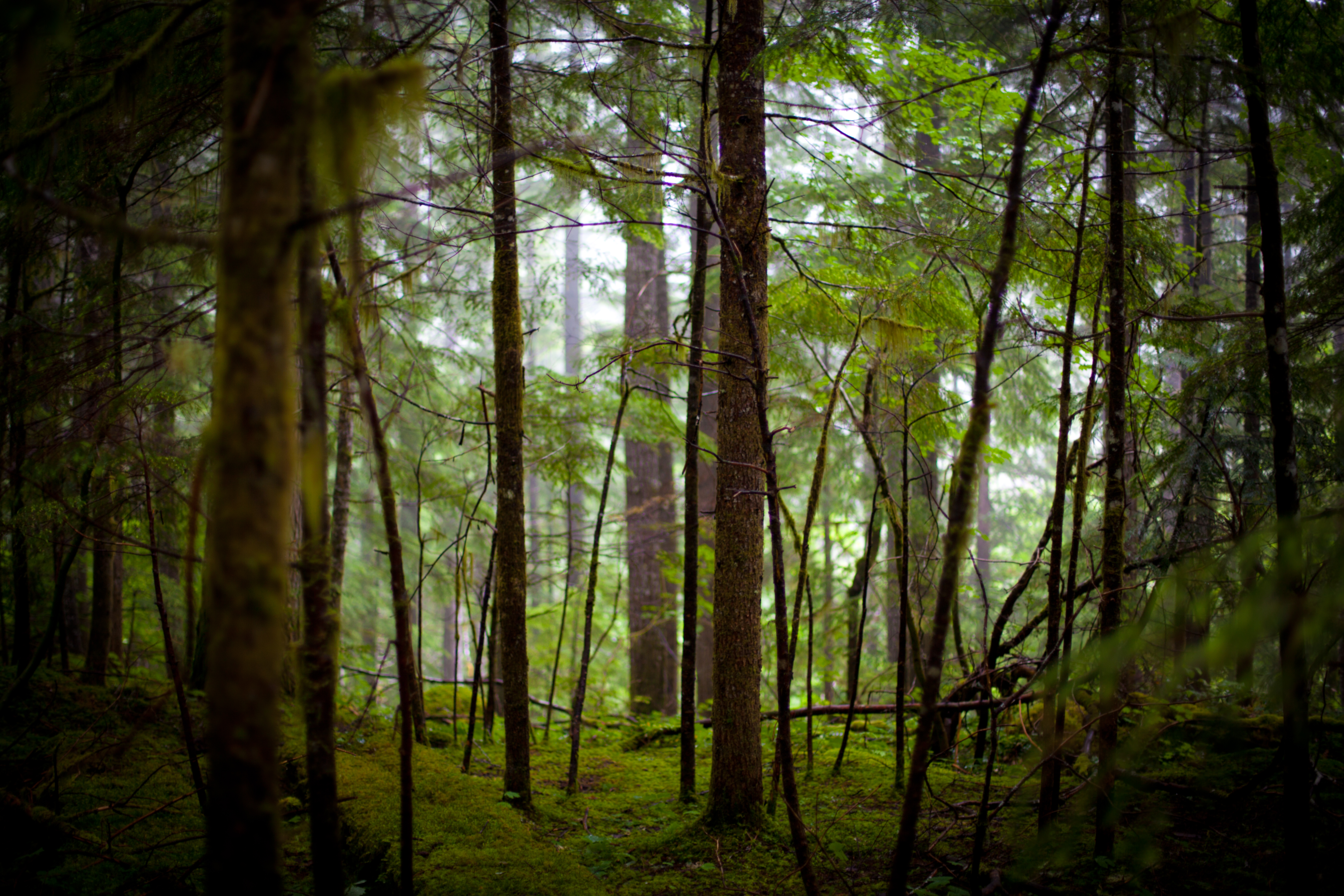
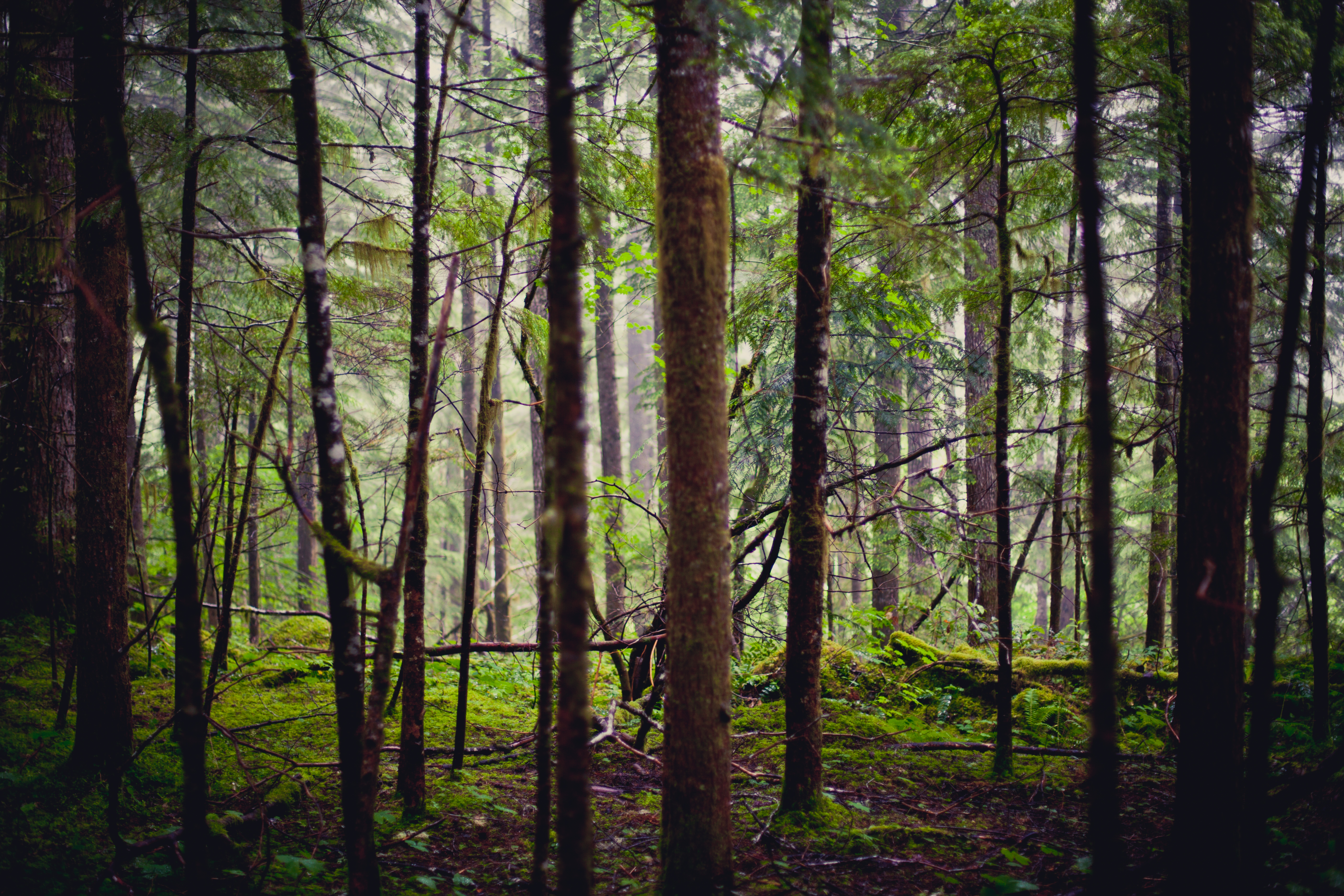
The Foggy Forest
The up side

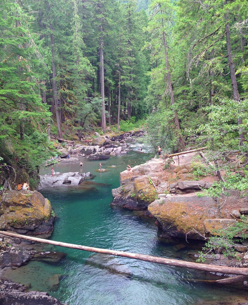
The River is Blue
Ohanapecosh River, Mt Rainier, Washington, August 2013
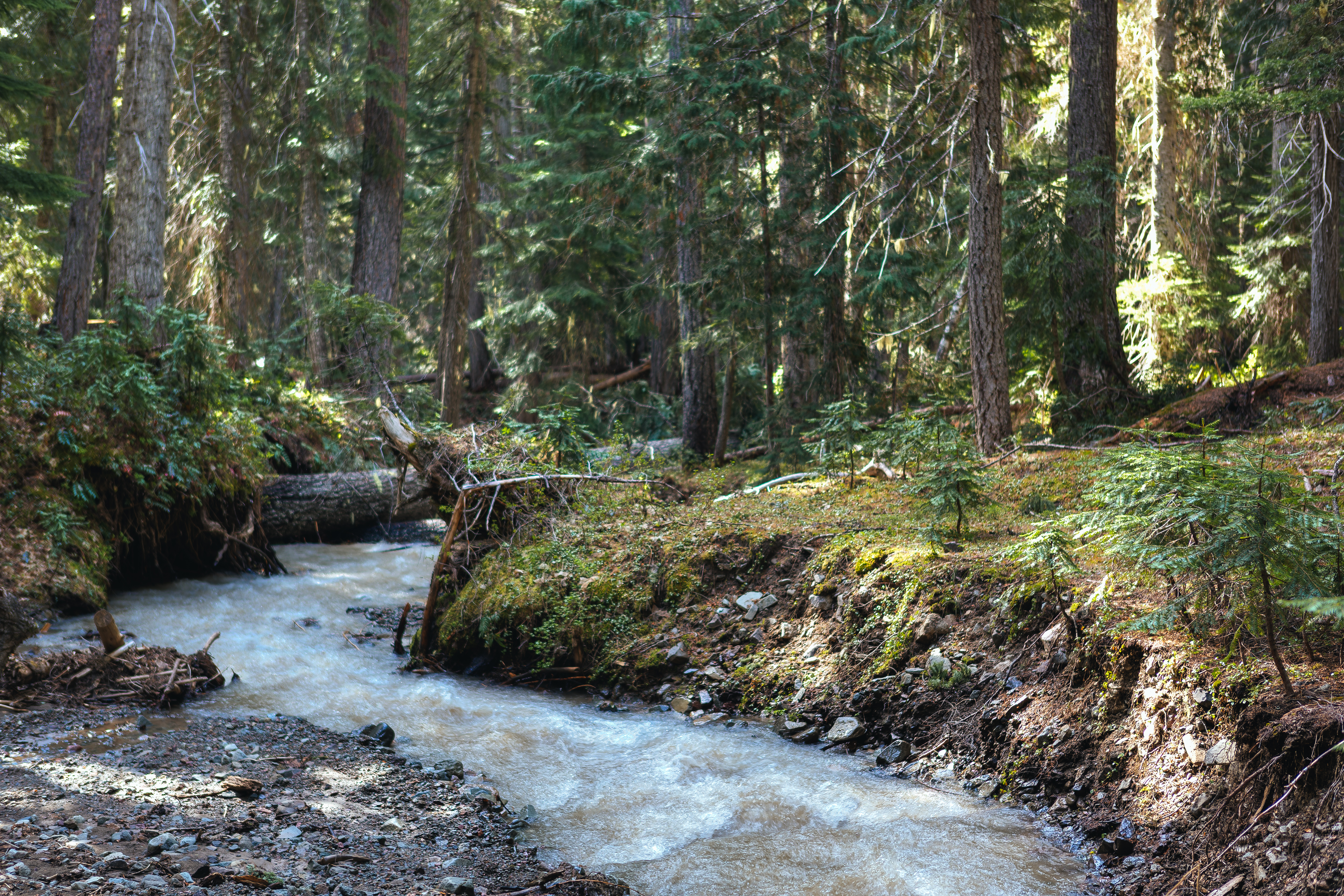
Steven's Creek on Wonderland Trail

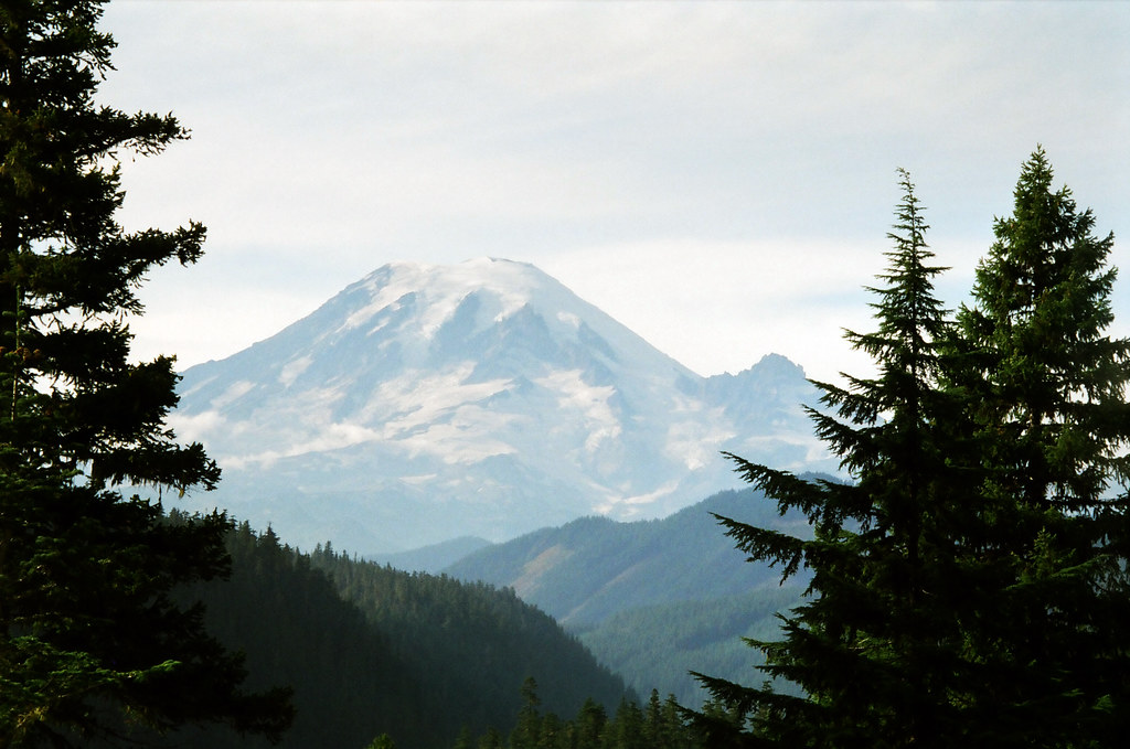
Mt. Rainier from Buckhorn Ridge
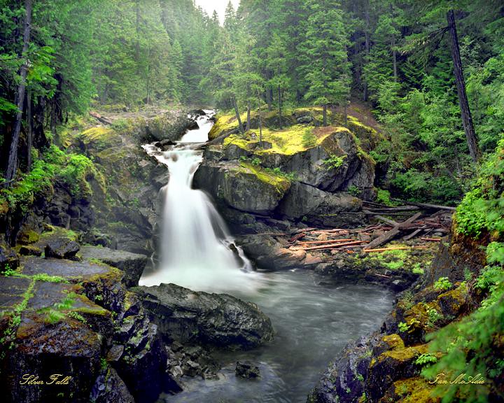
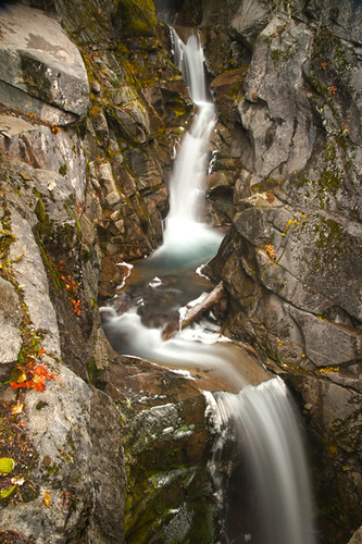
Silver Falls
Forest in Ohanapecosh
Topographic Map of Alpine Drive, Alpine Dr, Packwood, WA, USA
Find elevation by address:

Places near Alpine Drive, Alpine Dr, Packwood, WA, USA:
132 Alta Dr
Packwood
Burl Ln
Riverdance Lane
Lake Creek Drive
Packwood Lake Trailhead
Jack Fir Court West
Alderwood Drive
879 Cannon Rd
105 Jack Fir Ct E
Jack Fir Court East
110 Cascade Dr
Packwood Lodge
La Wis Wis Campground
226 Stover Rd
Packwood Lake
White Pass
Randle, WA, USA
Stevens Peak
Unicorn Peak
Recent Searches:
- Elevation of W Granada St, Tampa, FL, USA
- Elevation of Pykes Down, Ivybridge PL21 0BY, UK
- Elevation of Jalan Senandin, Lutong, Miri, Sarawak, Malaysia
- Elevation of Bilohirs'k
- Elevation of 30 Oak Lawn Dr, Barkhamsted, CT, USA
- Elevation of Luther Road, Luther Rd, Auburn, CA, USA
- Elevation of Unnamed Road, Respublika Severnaya Osetiya — Alaniya, Russia
- Elevation of Verkhny Fiagdon, North Ossetia–Alania Republic, Russia
- Elevation of F. Viola Hiway, San Rafael, Bulacan, Philippines
- Elevation of Herbage Dr, Gulfport, MS, USA