Elevation of Alma, WI, USA
Location: United States > Wisconsin > Buffalo County >
Longitude: -91.914883
Latitude: 44.3199654
Elevation: 207m / 679feet
Barometric Pressure: 99KPa
Elevation Map:
Satellite Map:
Related Photos:
Good View

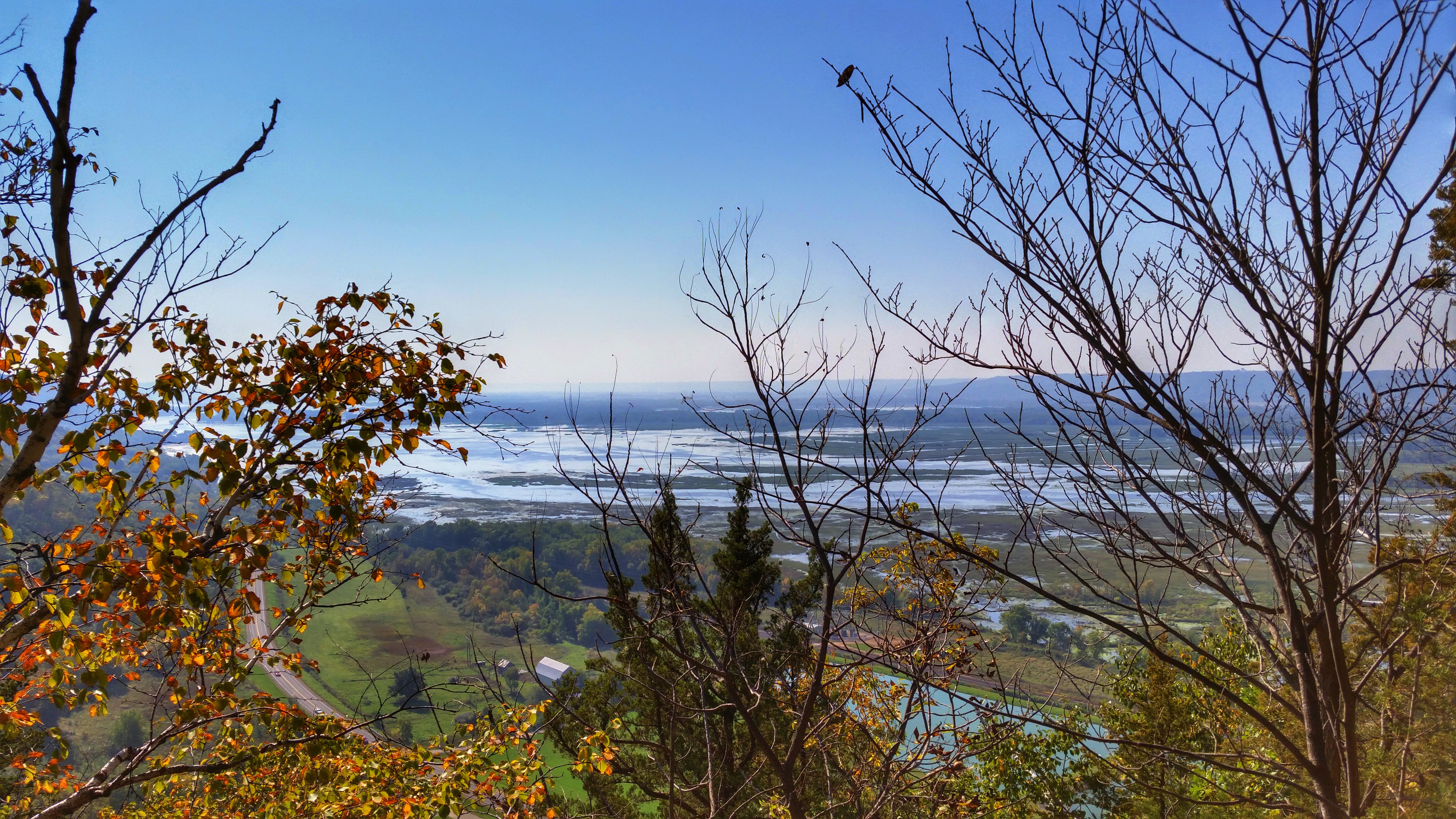
Day 9: View from Minneiska, MN
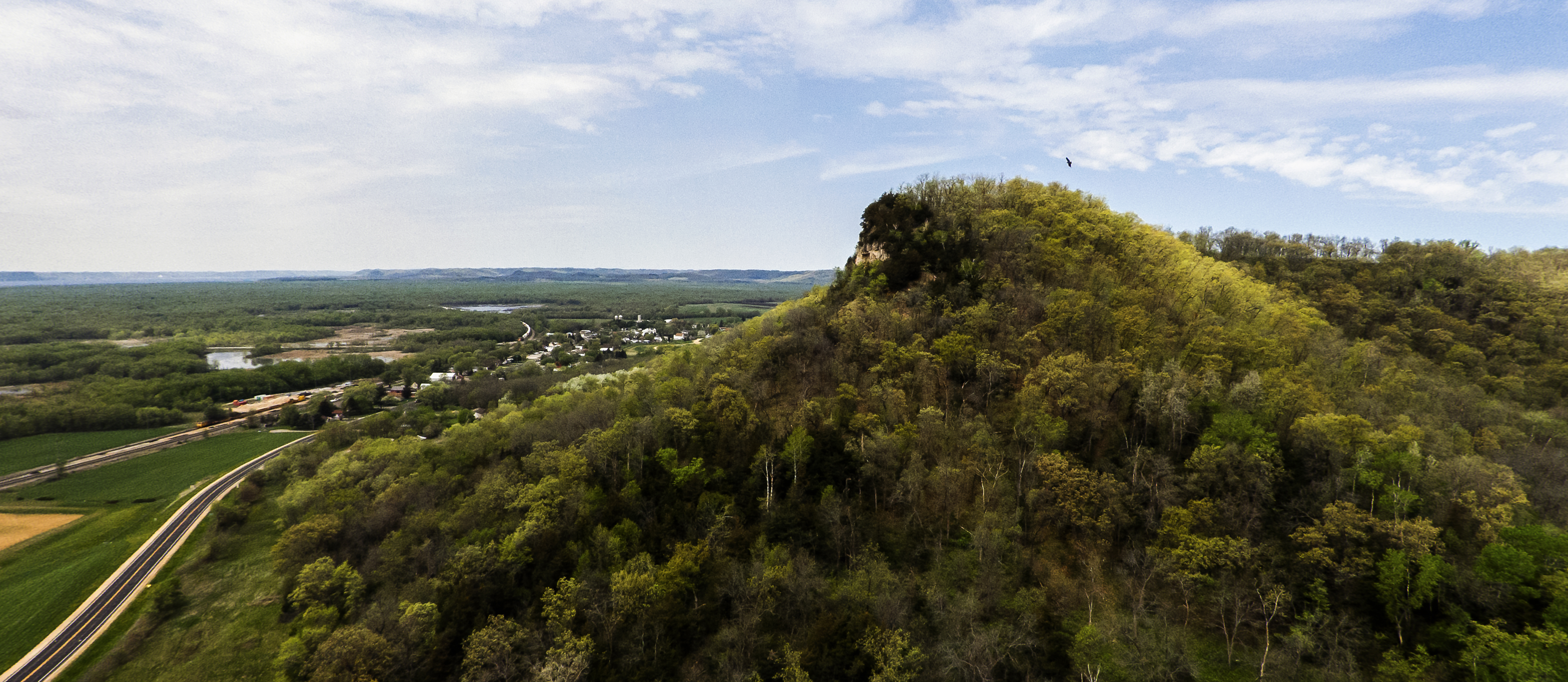
Nelson Bluff VIews
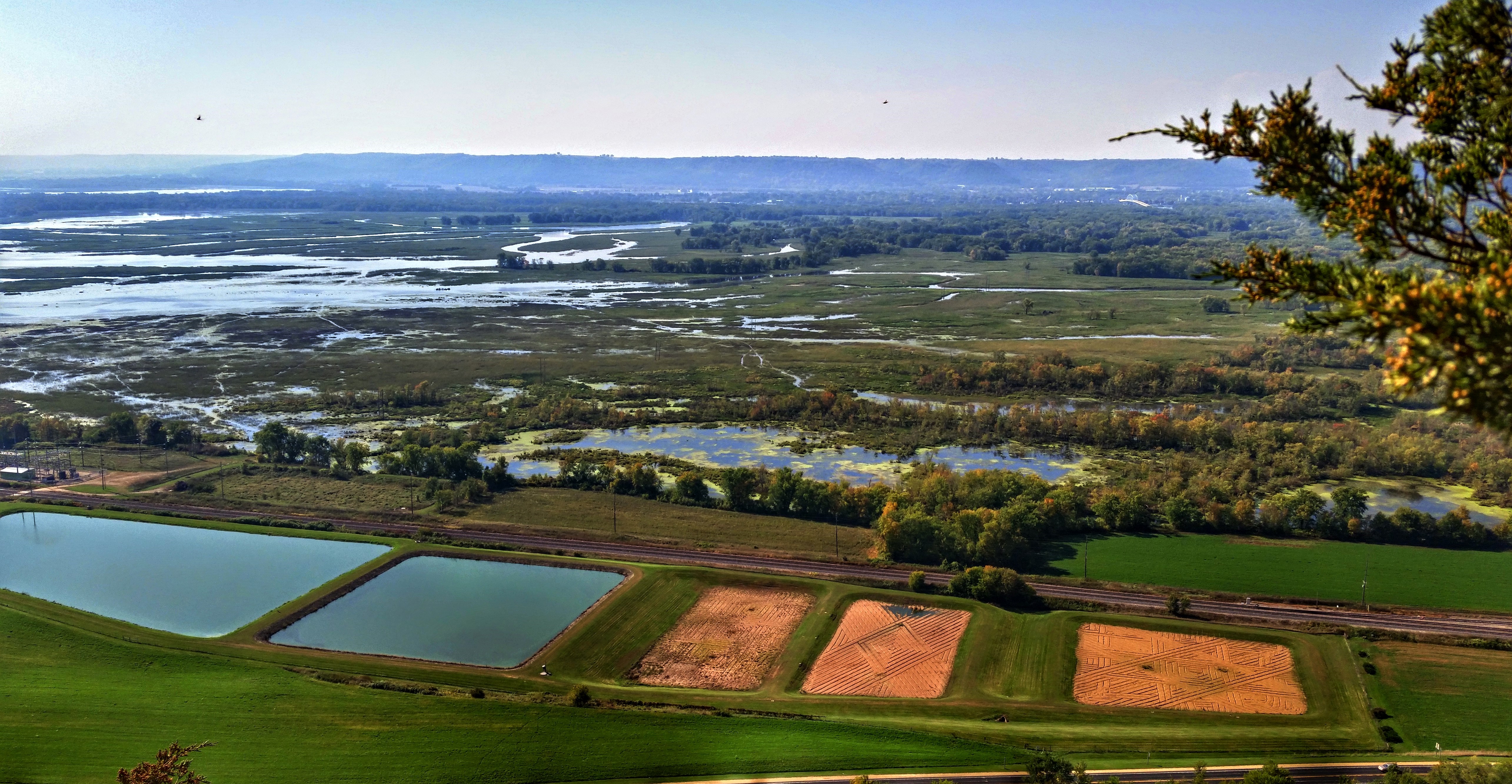
Nelson Bluff VIews

Under The Bluffs

Nelson Bluff VIews

Day 9: View from Minneiska, MN
Railfan House
Buena Vista Park_0001

Buena Vista Park_0002
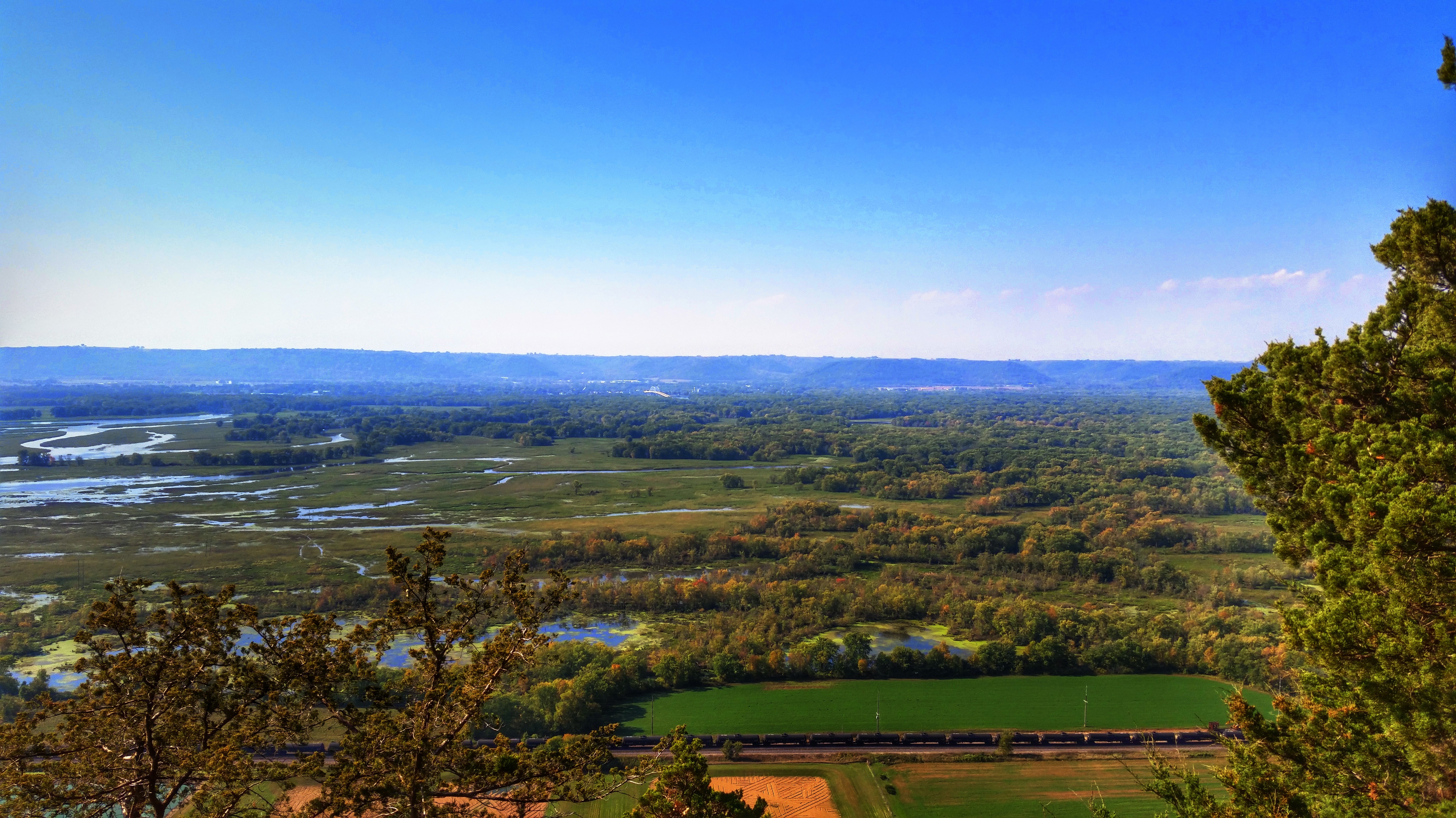
Nelson Bluff VIews
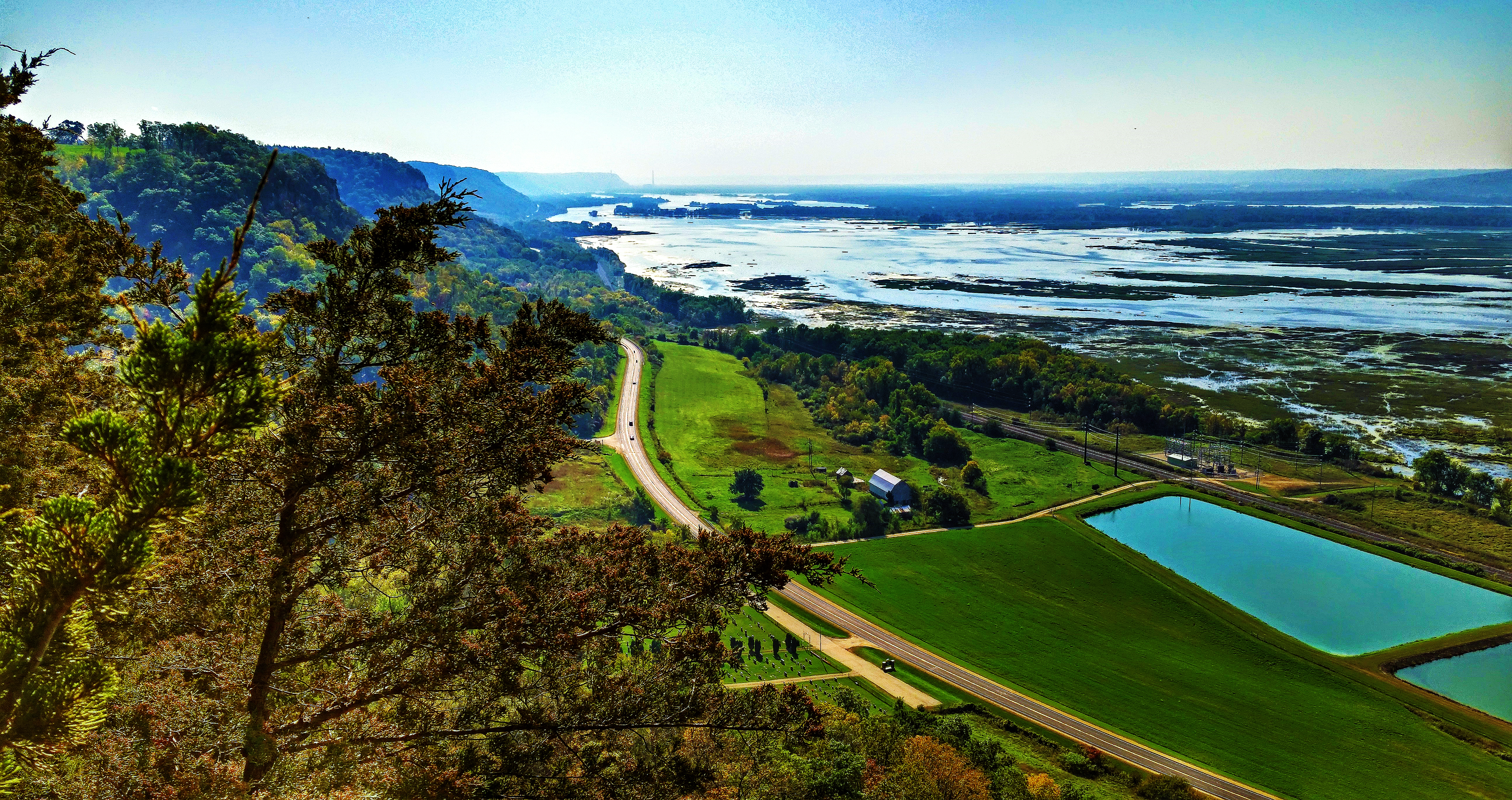
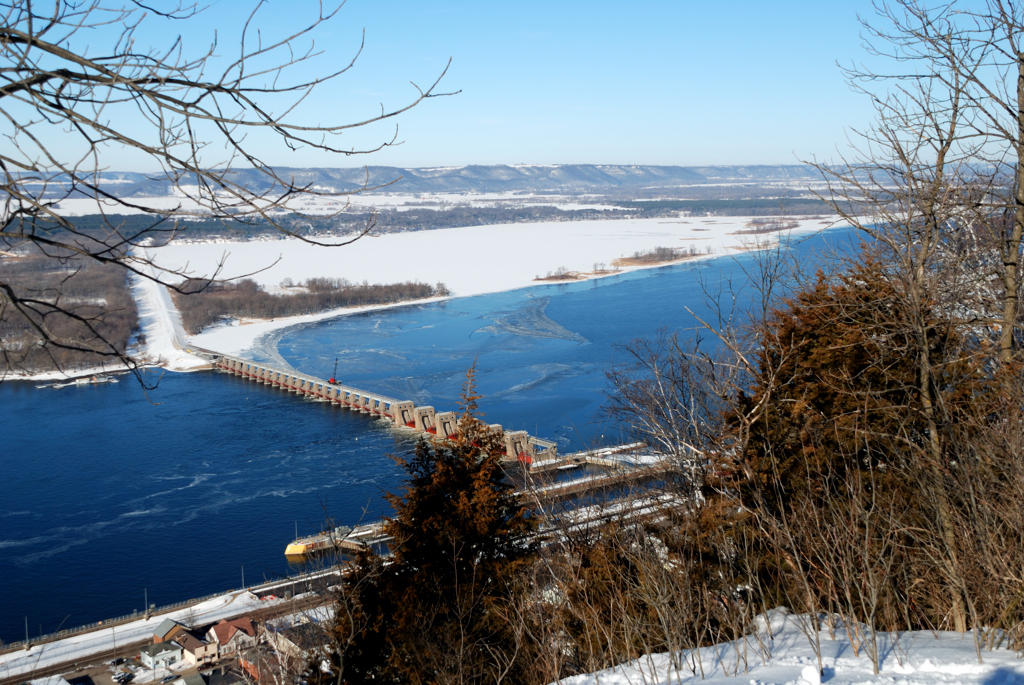
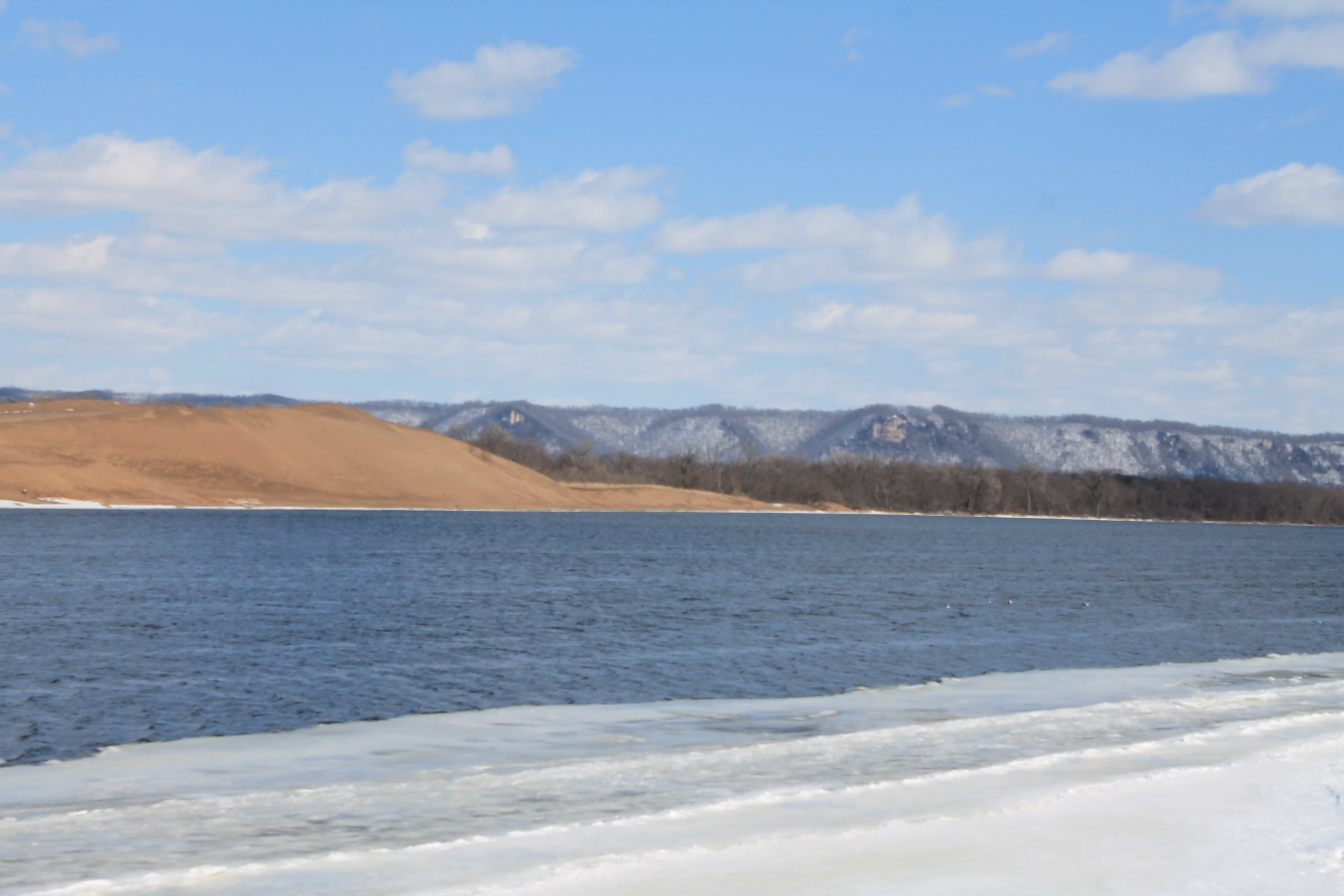
View of the Mississippi above Alma, WI

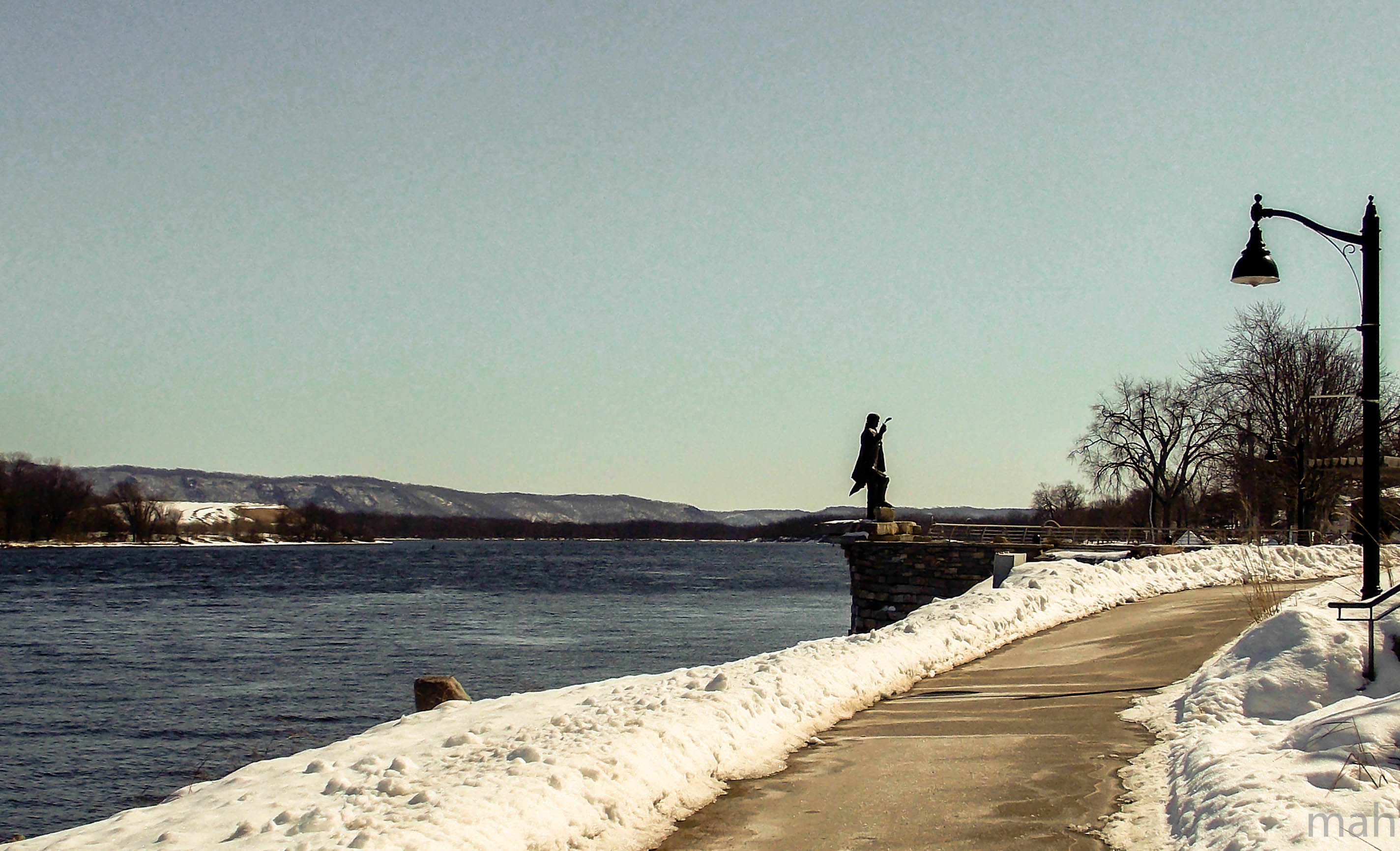
National Eagle Center, Wabasha MN
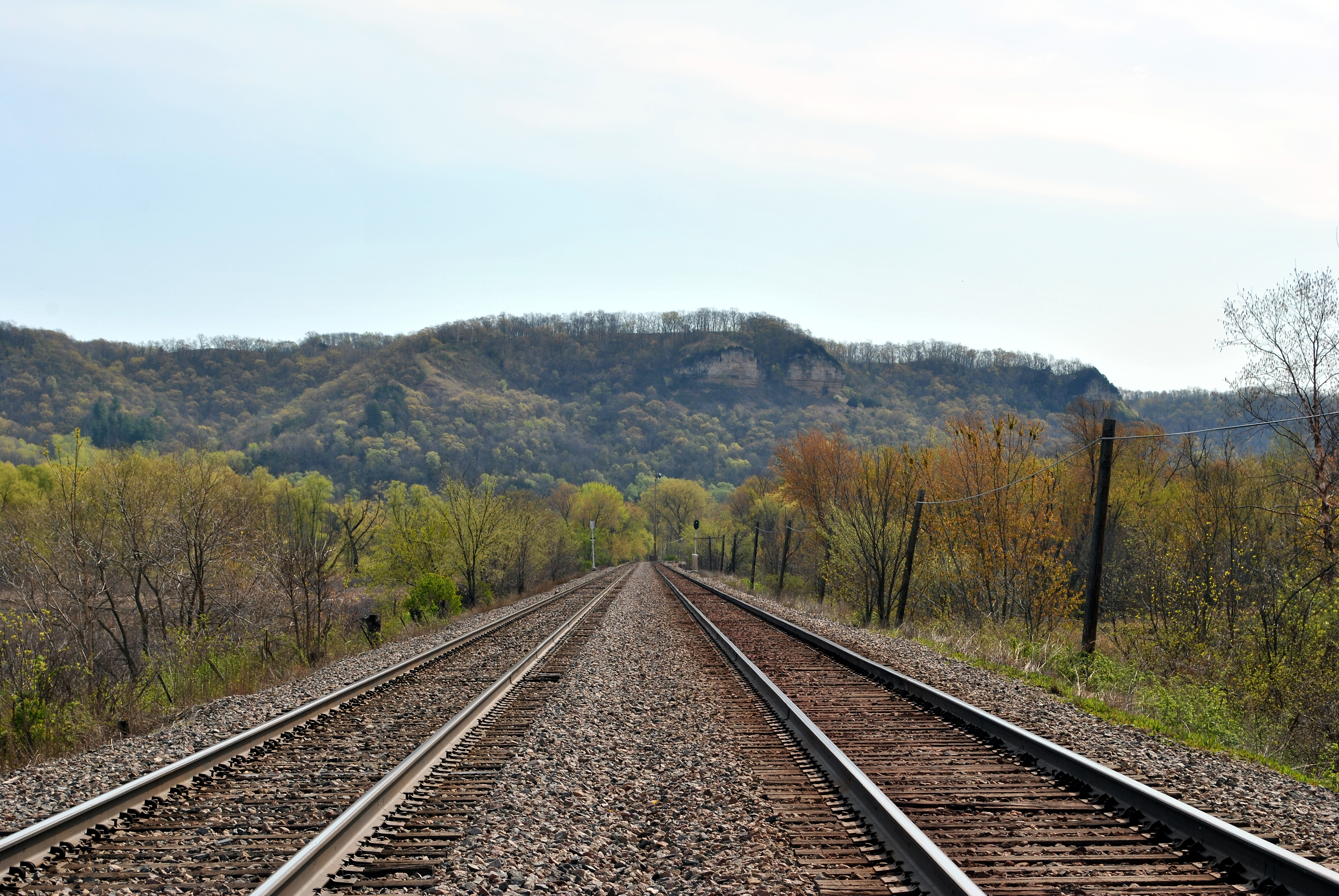
Nelson, WI bluffs, viewed from the tracks west of town
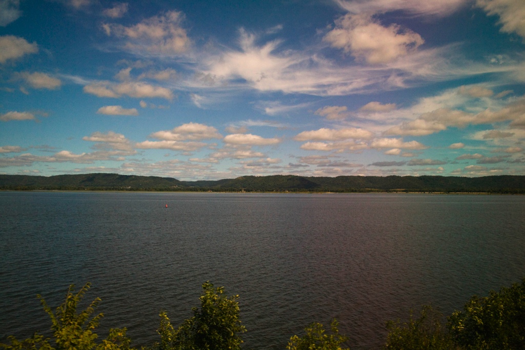
Mississippi River at Wabasha, Minnesota
Nelson Bluff VIews

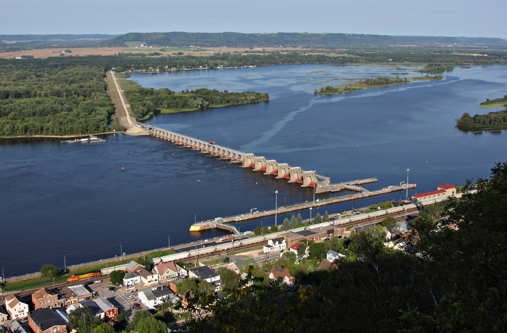
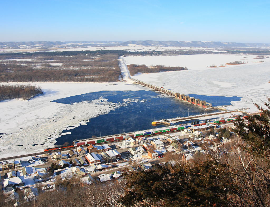
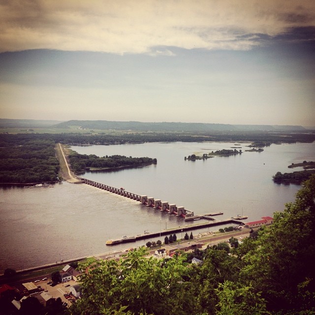
Lock and Dam No 4.
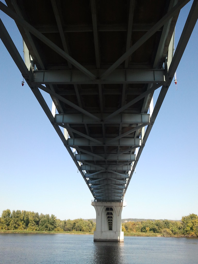
Under Bridge view, Wabasha MN

Eagle Portrait at the National Eagle Center

Lock and Dam No 4.
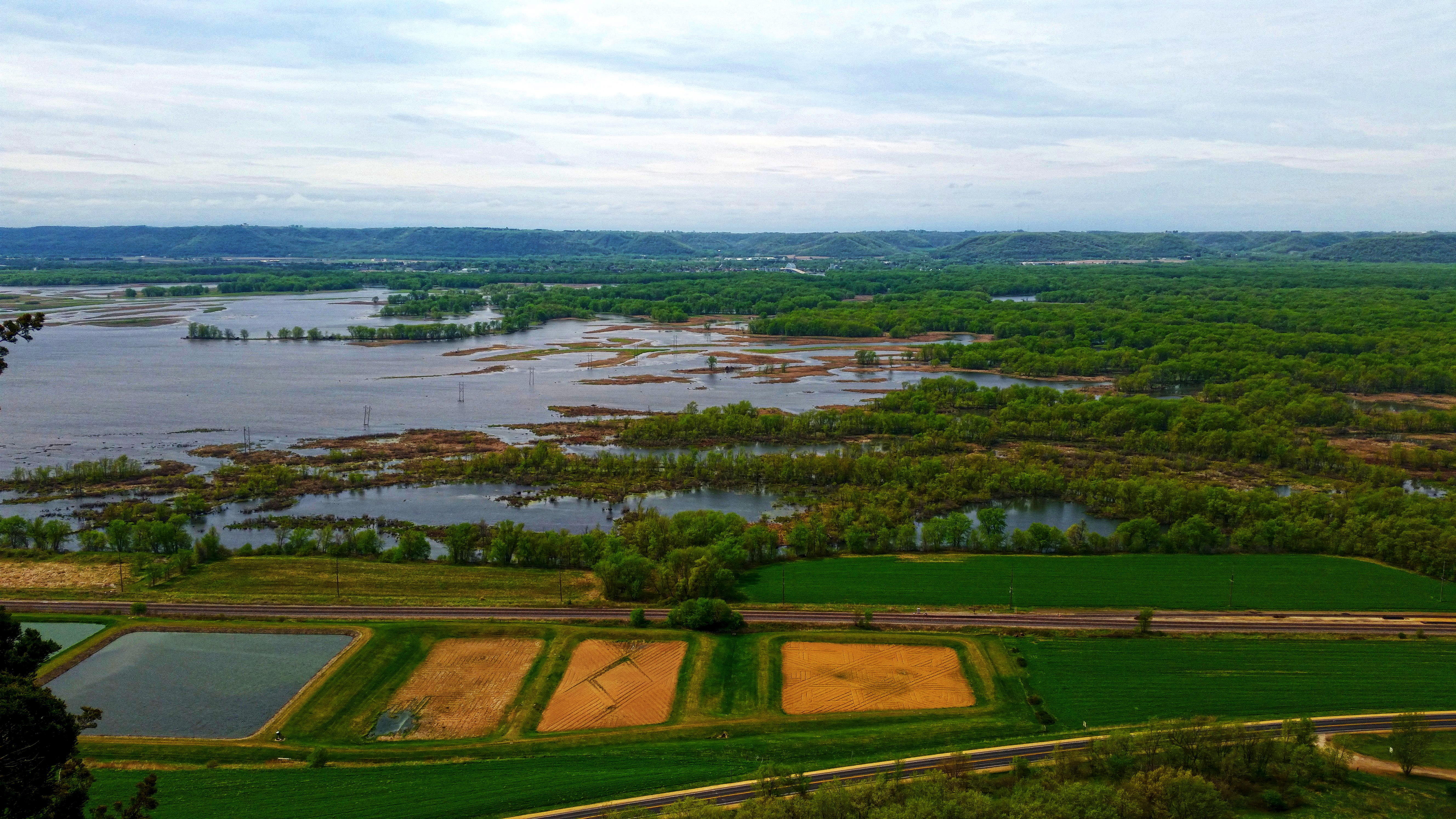
View from the Nelson Bluffs
Spring on the River
Seattle_Train_Trip-207
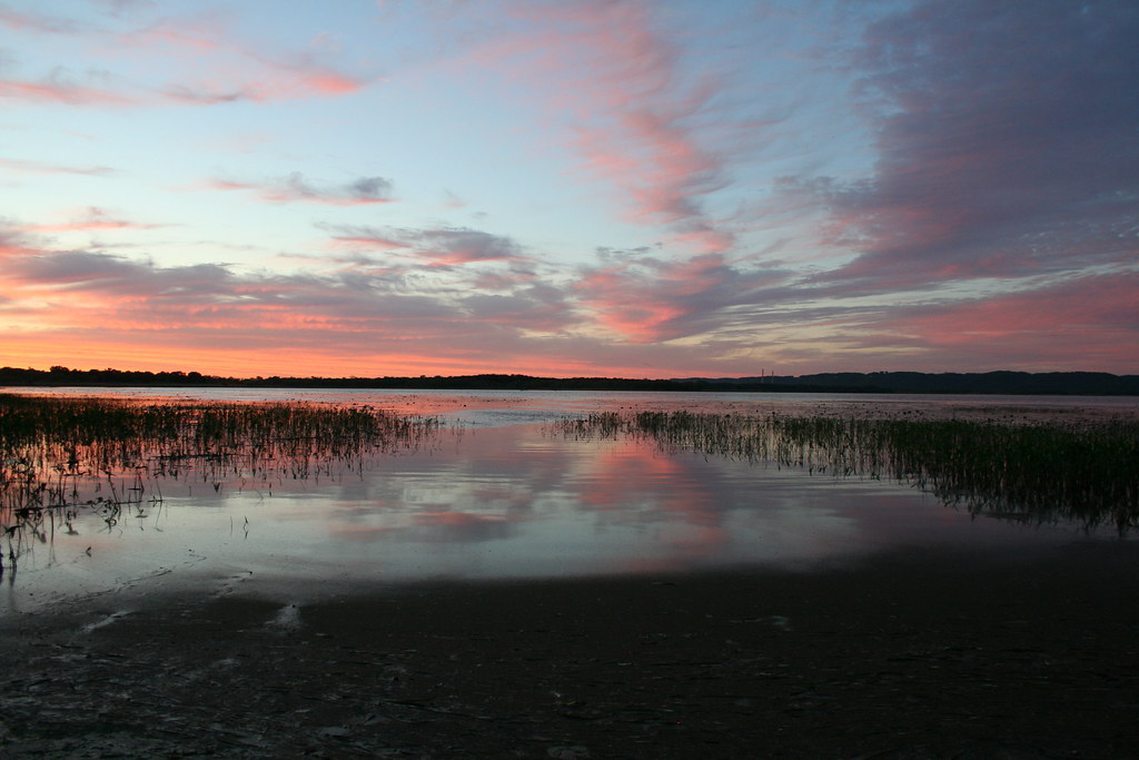
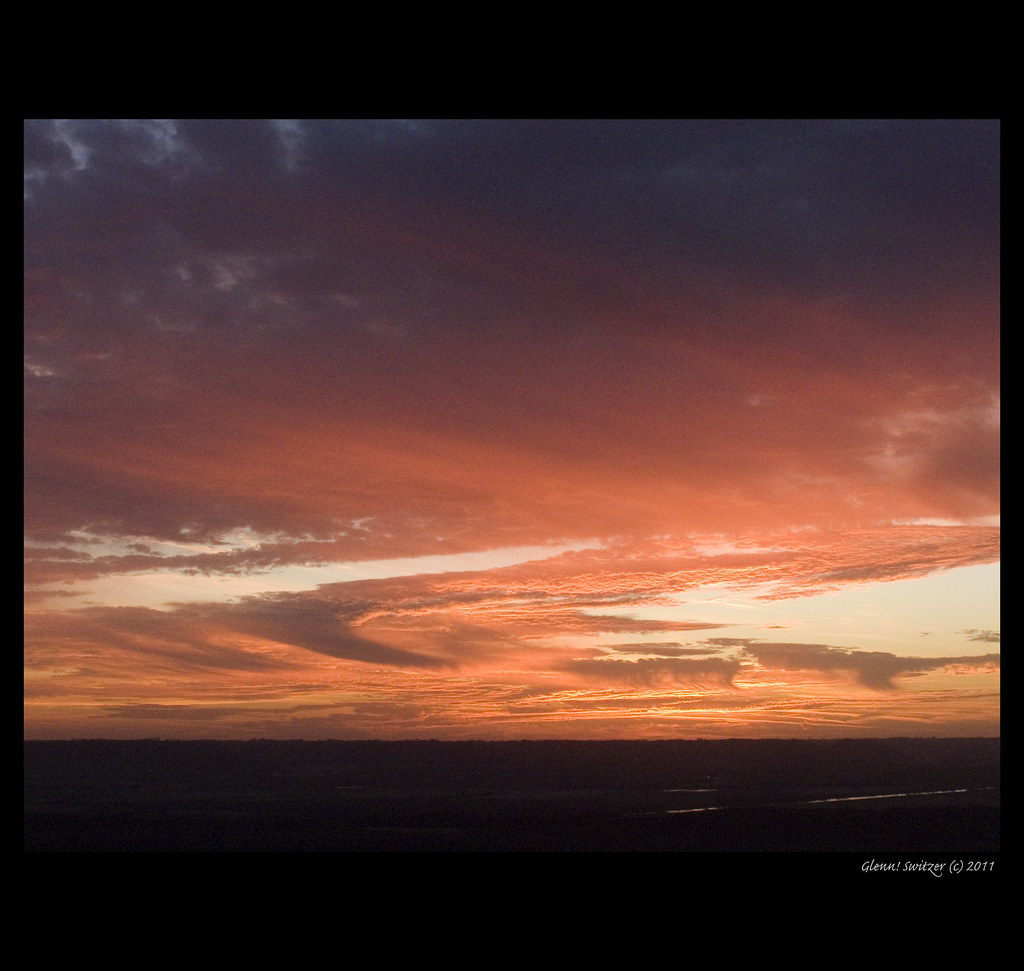
Sunset at Weaver Landing
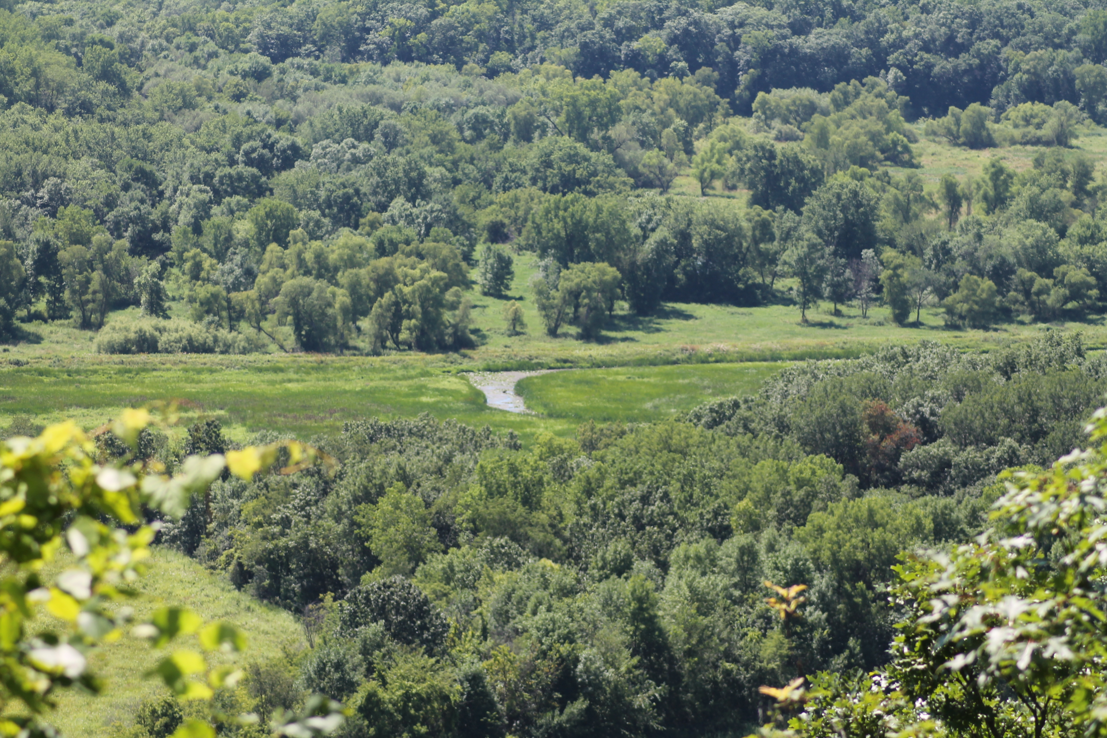
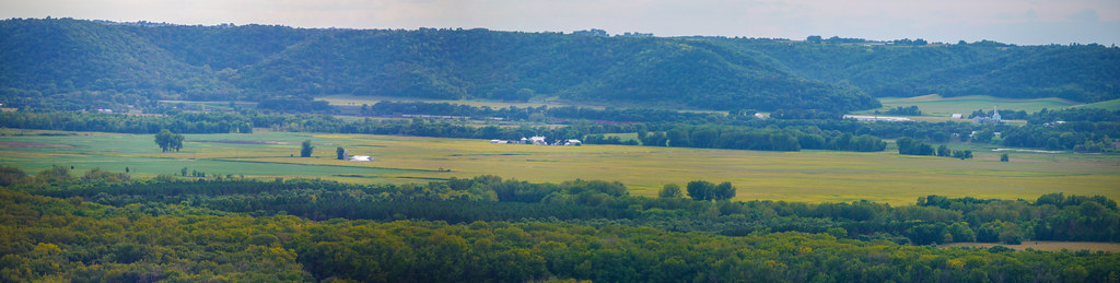
Whitewater River Valley
how do you begin...

Day 9: Slough behind Flicker Camp
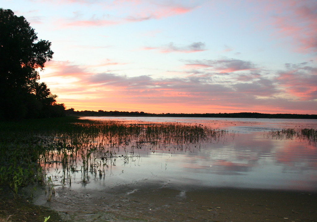
Sunset at Weaver Landing
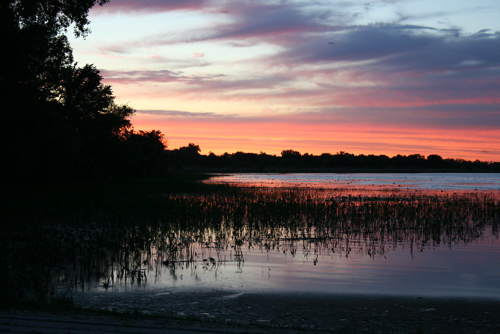
Sunset at Weaver Landing

Sunset at Weaver Landing
P1160584-P1160591-LR
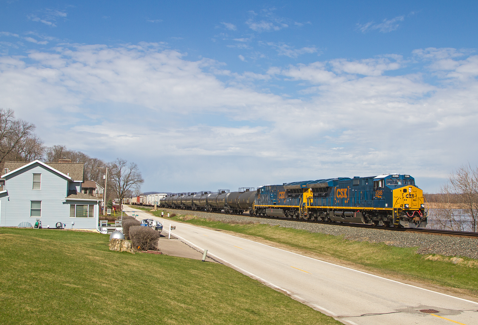
BNSF Intermodal; Alma, WI
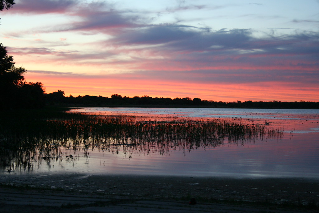
Sunset at Weaver Landing
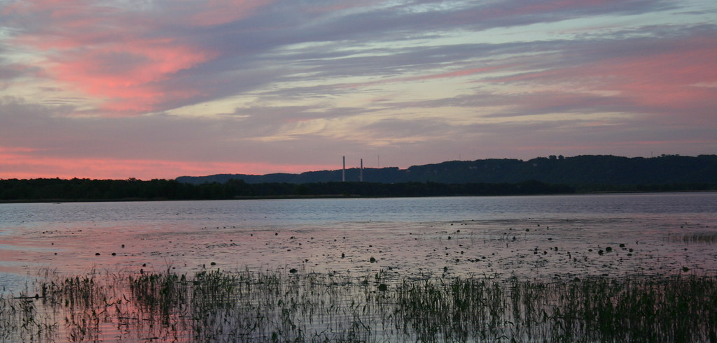
Sunset at Weaver Landing
Lower Chippewa River State Natural Area
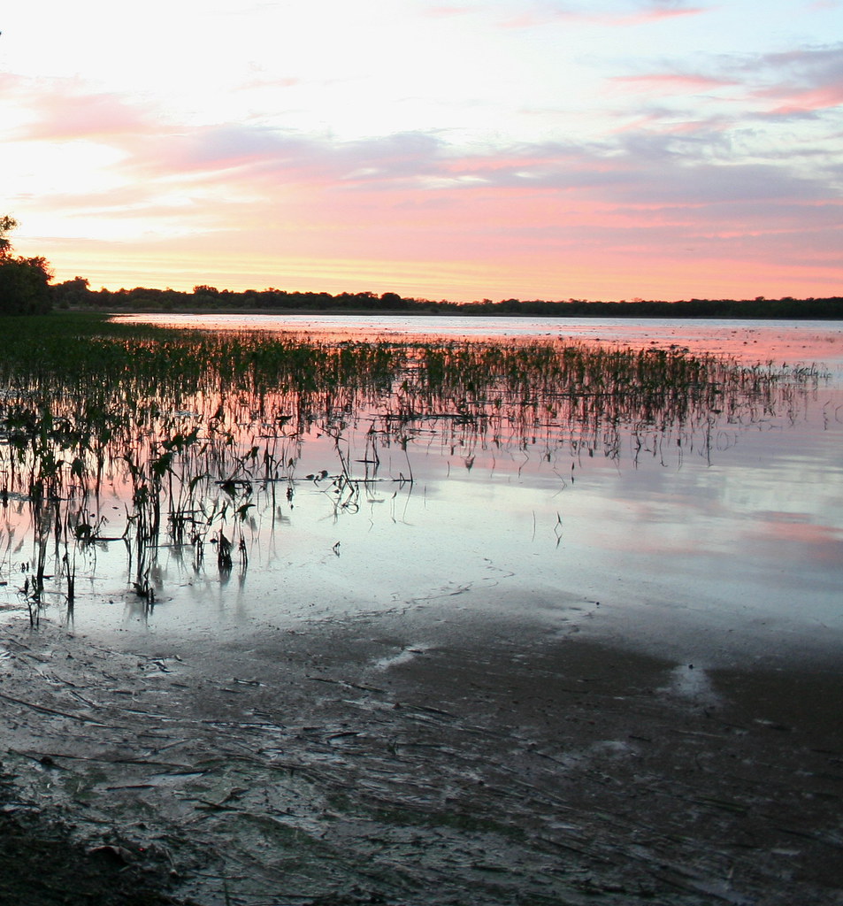
Sunset at Weaver Landing
A long way down...
Topographic Map of Alma, WI, USA
Find elevation by address:

Places in Alma, WI, USA:
Places near Alma, WI, USA:
Main St, Alma, WI, USA
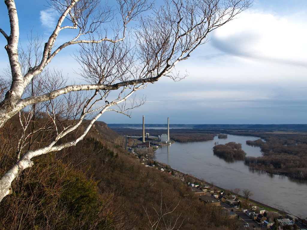
Buena Vista Park
Dairyland Power Cooperative
65114 140th Ave
62936 County Rd 84
Greenfield Township
15212 667th St
1144 166th Ave
MN-74, Altura, MN, USA
Nelson
110 W 5th St
155 Pembroke Ave
Wabasha
225 Lawrence Blvd W
Nelson
N Main St, Nelson, WI, USA
180 Coffee Mill Dr
Wisconsin 35
Wisconsin 35
Buffalo County
Recent Searches:
- Elevation of Corso Fratelli Cairoli, 35, Macerata MC, Italy
- Elevation of Tallevast Rd, Sarasota, FL, USA
- Elevation of 4th St E, Sonoma, CA, USA
- Elevation of Black Hollow Rd, Pennsdale, PA, USA
- Elevation of Oakland Ave, Williamsport, PA, USA
- Elevation of Pedrógão Grande, Portugal
- Elevation of Klee Dr, Martinsburg, WV, USA
- Elevation of Via Roma, Pieranica CR, Italy
- Elevation of Tavkvetili Mountain, Georgia
- Elevation of Hartfords Bluff Cir, Mt Pleasant, SC, USA