Elevation of Allmond Creek Rd, Marble, NC, USA
Location: United States > North Carolina > Cherokee County > Valleytown > Marble >
Longitude: -83.920728
Latitude: 35.194901
Elevation: 558m / 1831feet
Barometric Pressure: 95KPa
Elevation Map:
Satellite Map:
Related Photos:
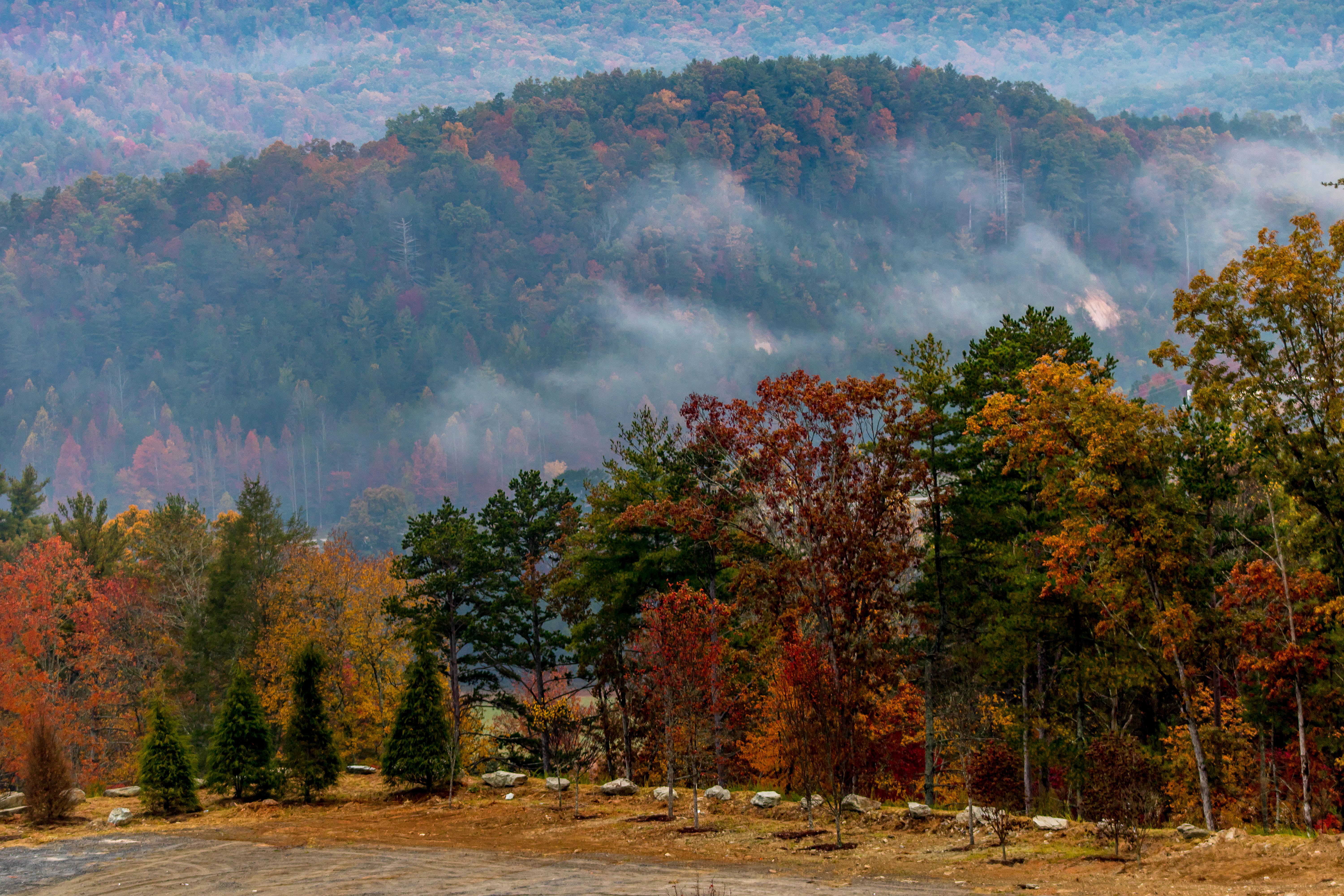
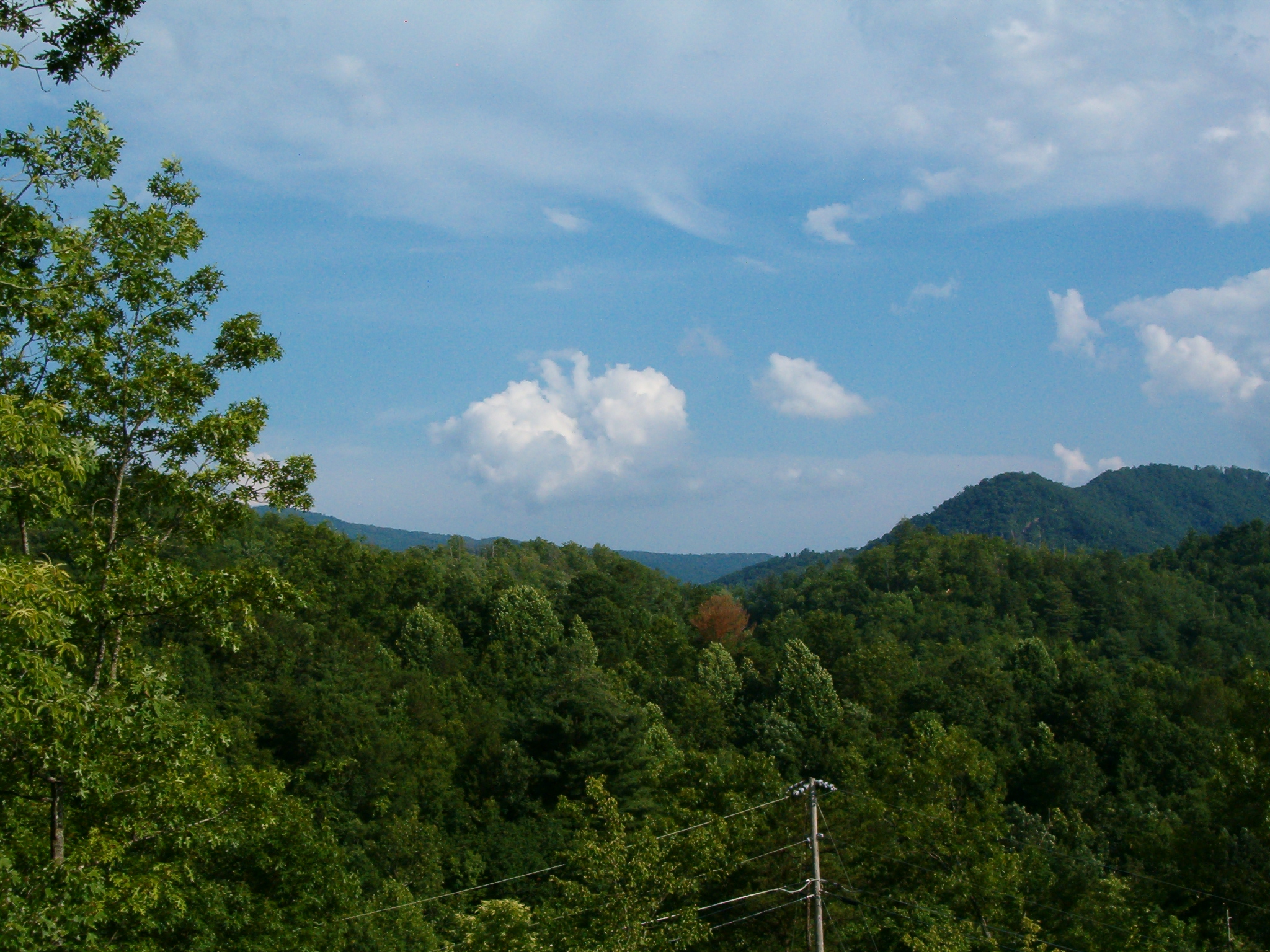
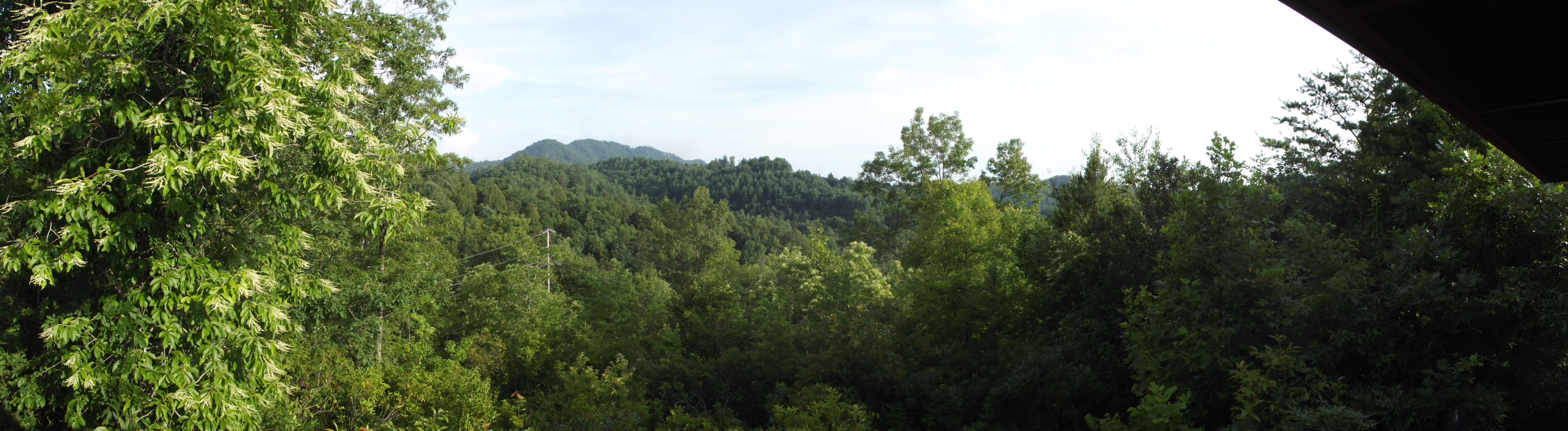
Morning view in Murphy, NC
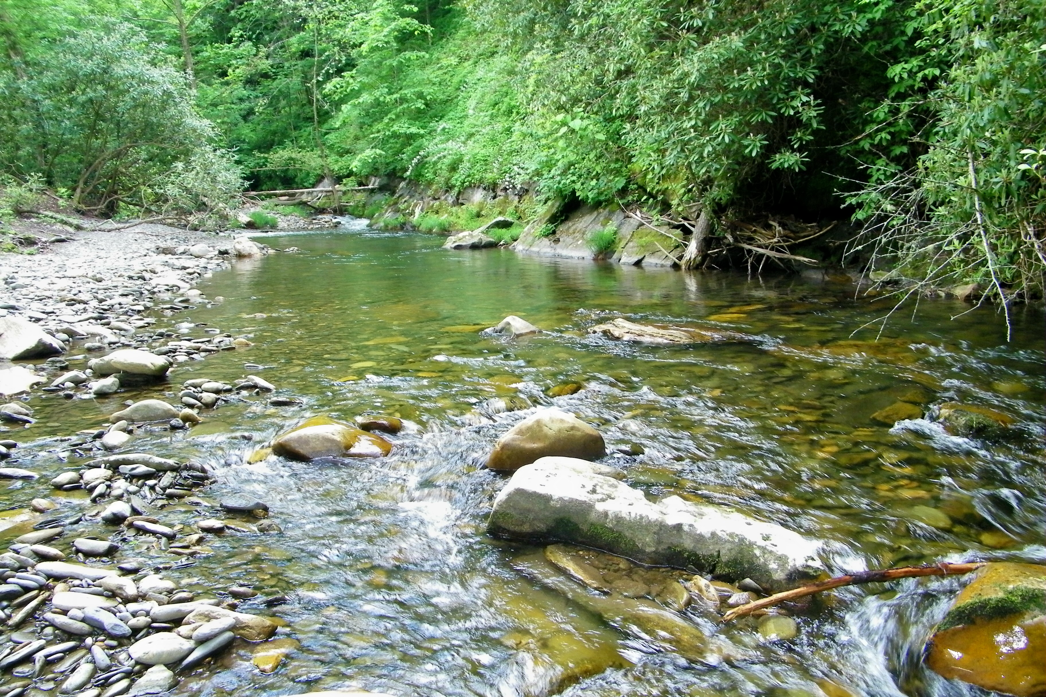
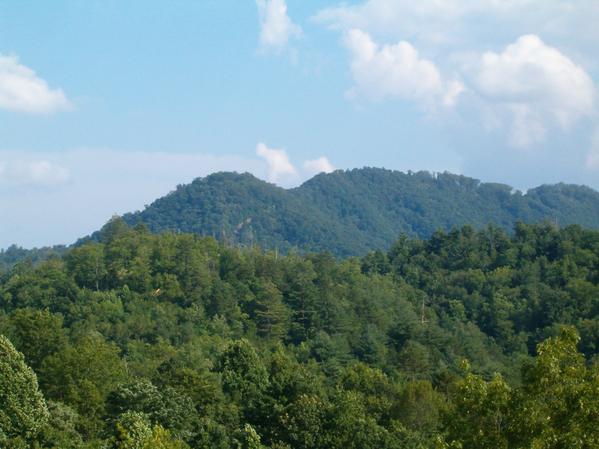
Fires Creek
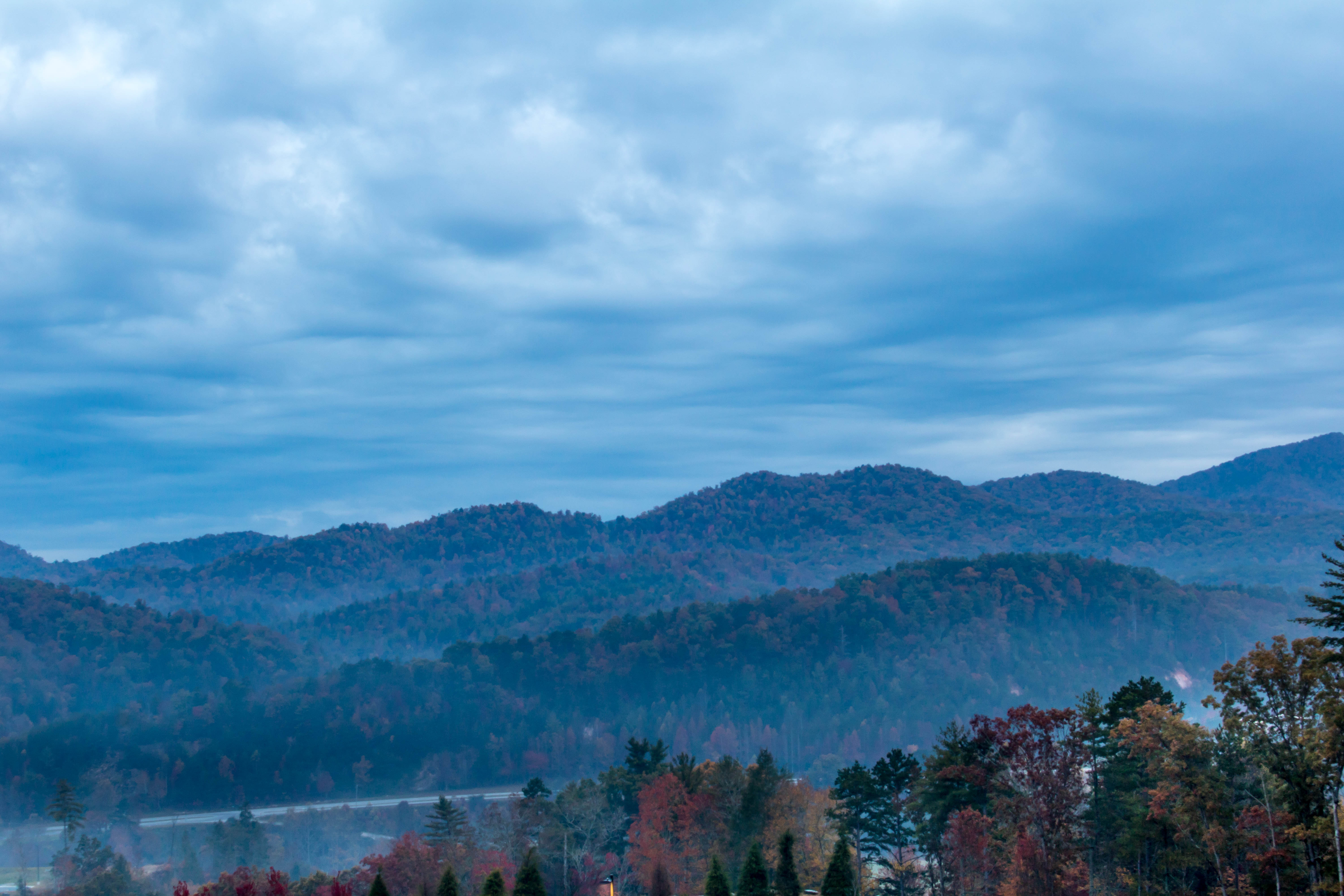
Morning view in Murphy, NC.
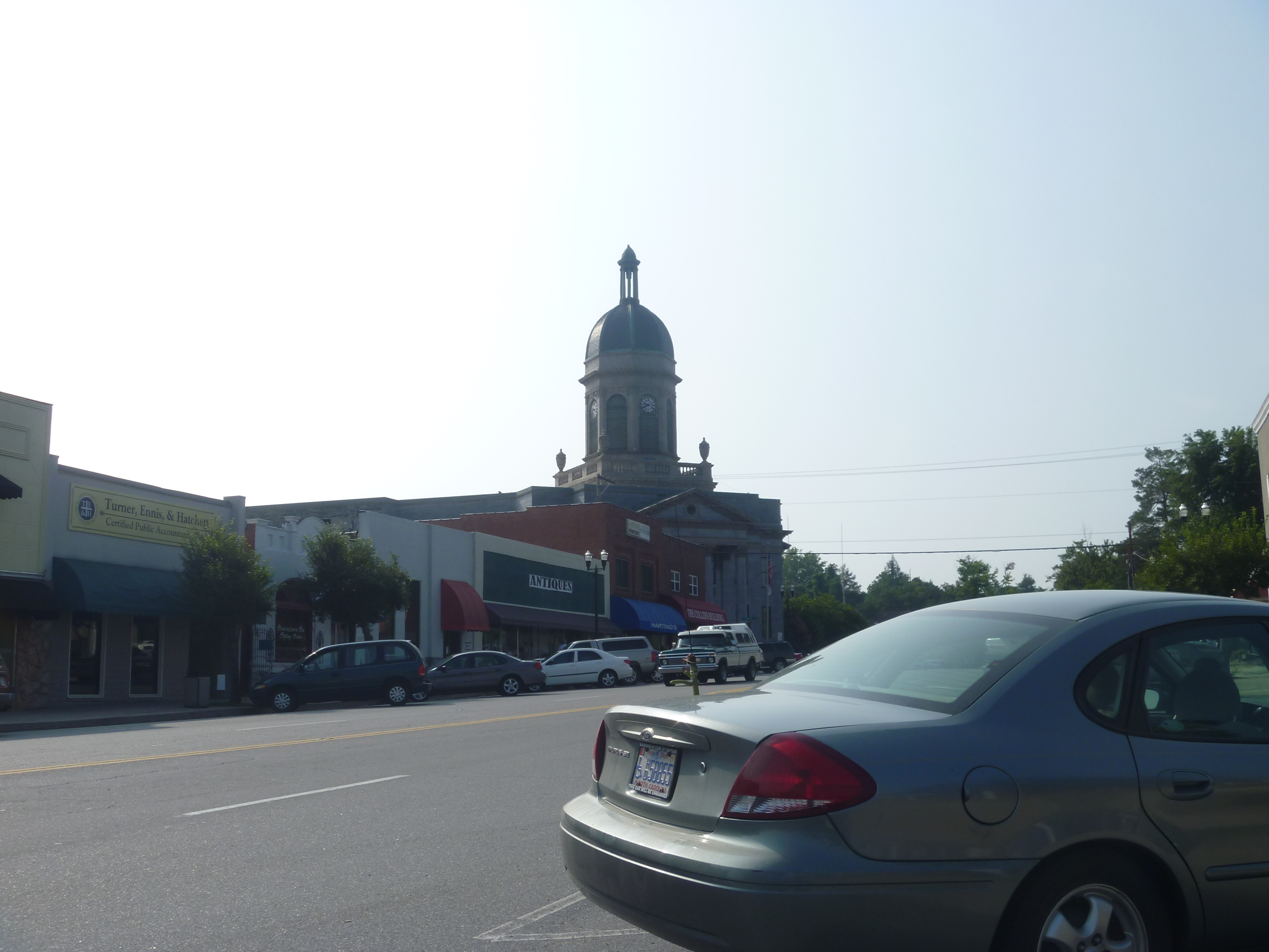
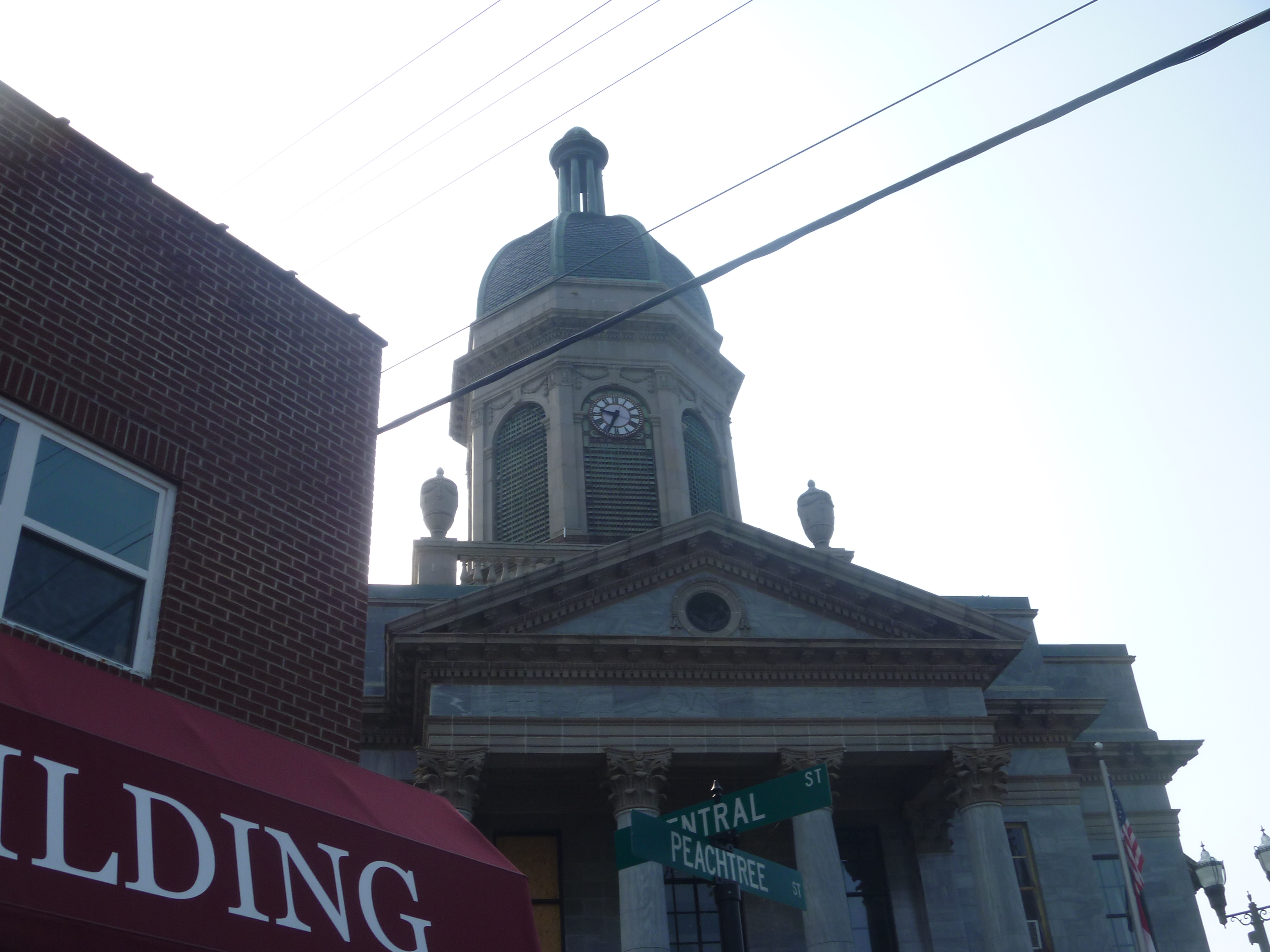
Downtown Murphy NC And The Cherokee County Courthouse

View of the building from the parking lot

Side And Front View Of Cherokee County Courthouse

Top Side View Of Cherokee County Courthouse
Top Side View Of Cherokee County Courthouse

Clocktower/Cupola And Side View Of Cherokee County Courthouse
PaulineFamily_20091126-114611

PaulineFamily_20091126-114642
PaulineFamily_20091126-114727
PaulineFamily_20091126-114738

PaulineFamily_20080705-165603
PaulineFamily_20080705-165636
PaulineFamily_20080705-165657

PaulineFamily_20080705-165718
PaulineFamily_20080705-165738

PaulineFamily_20080705-181538
PaulineFamily_20080705-181557

Hawkesdene House Barn Far View

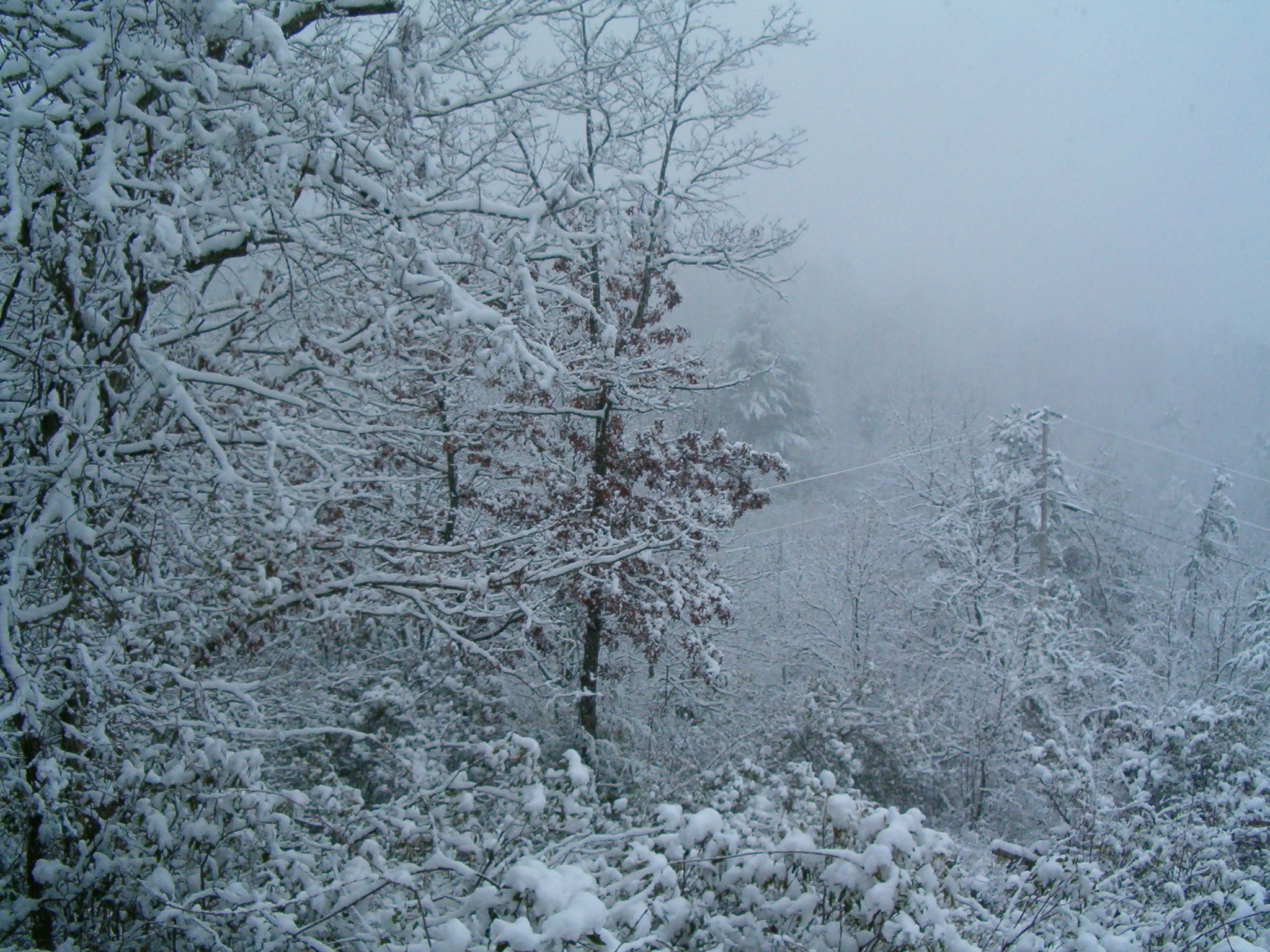
The whole landscape will be one vast wasteland 1
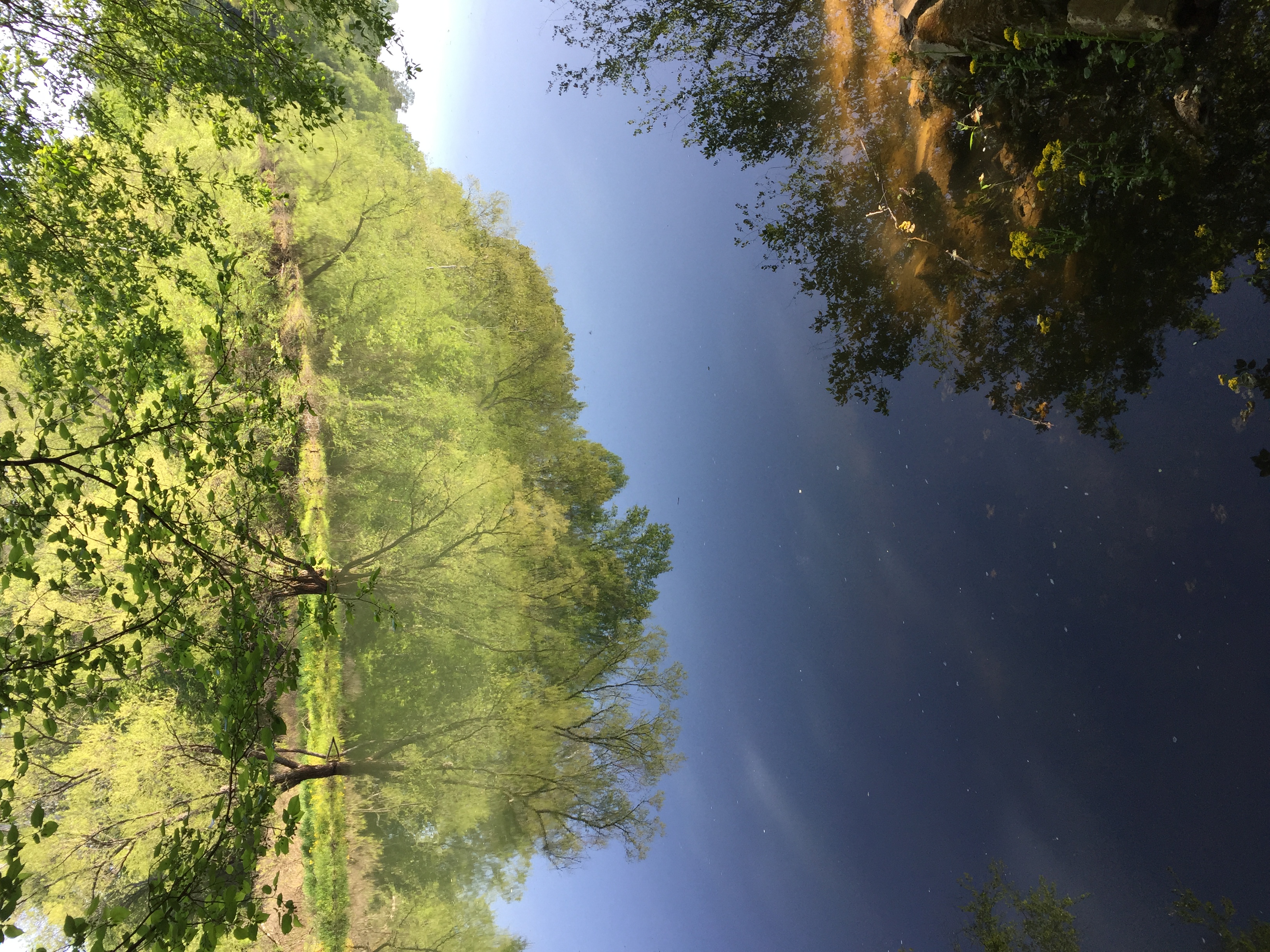
Spring Green
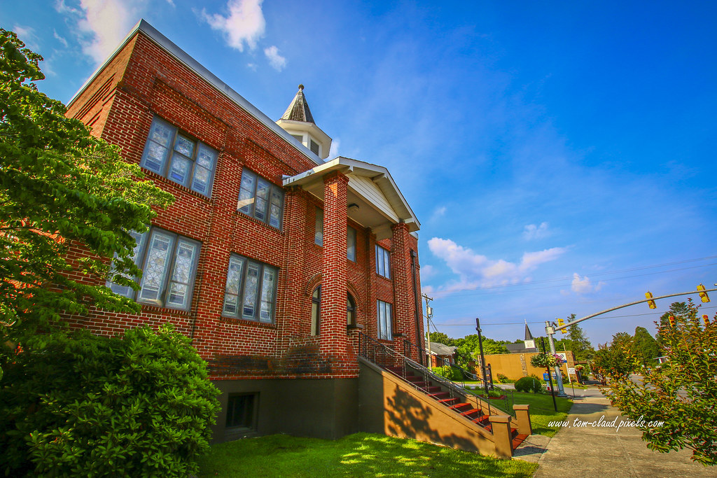
Red Brick Church
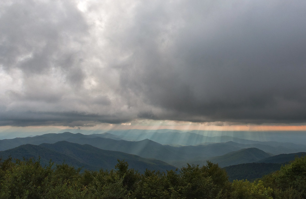
God Fingers
PaulineFamily_20101225-124346

PaulineFamily_20101225-124326
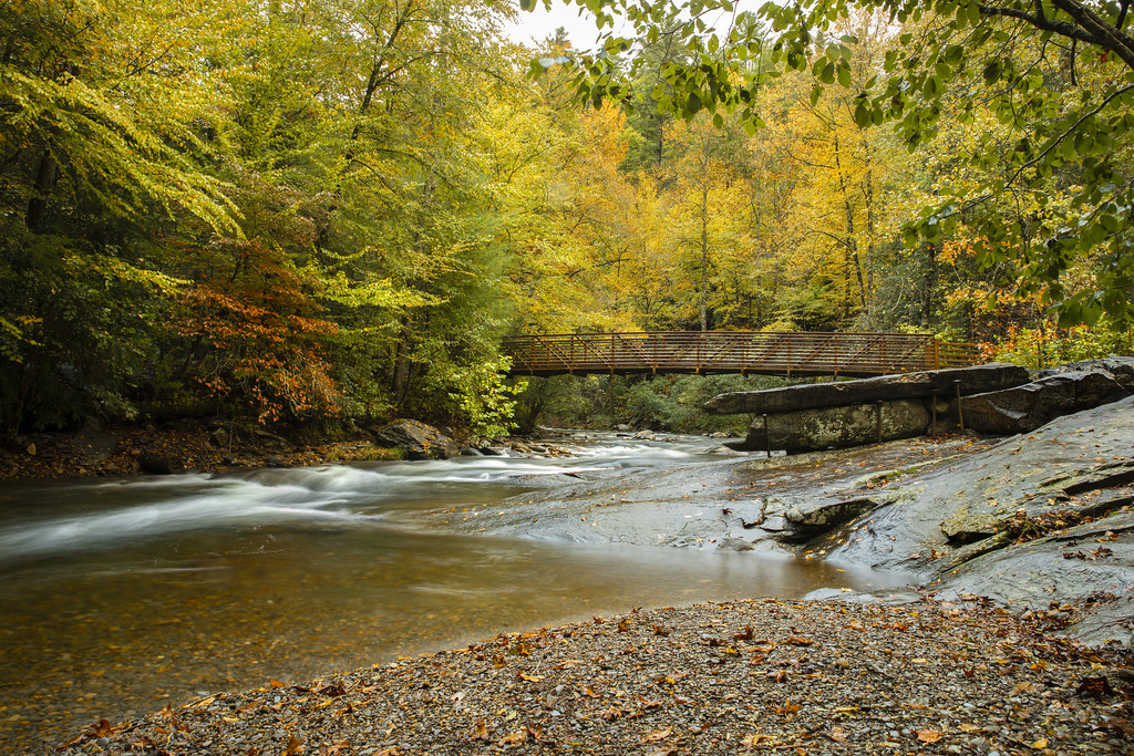
Fires Creek Pedestrian Bridge
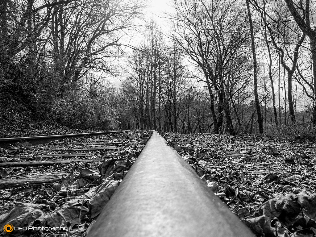
Looking Down the Line
PaulineFamily_20110701-185851

L & N Train Trestle
PaulineFamily_20101229-120902

Blue Vista

Chestnut-sided Warbler
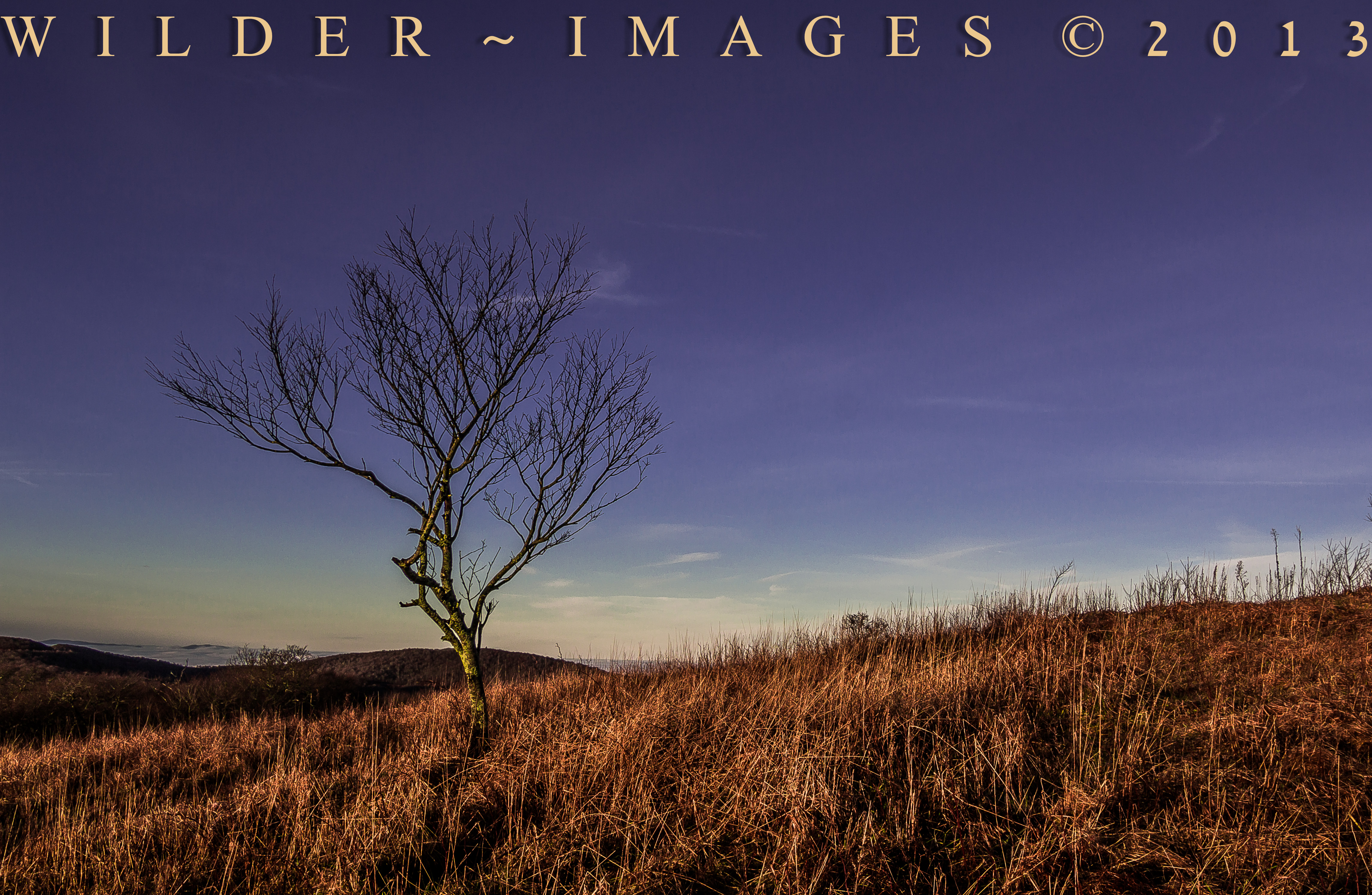
"HOME ON HIGH"

Chestnut-sided Warbler

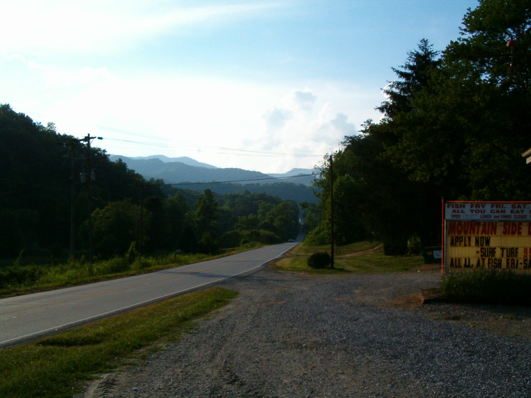
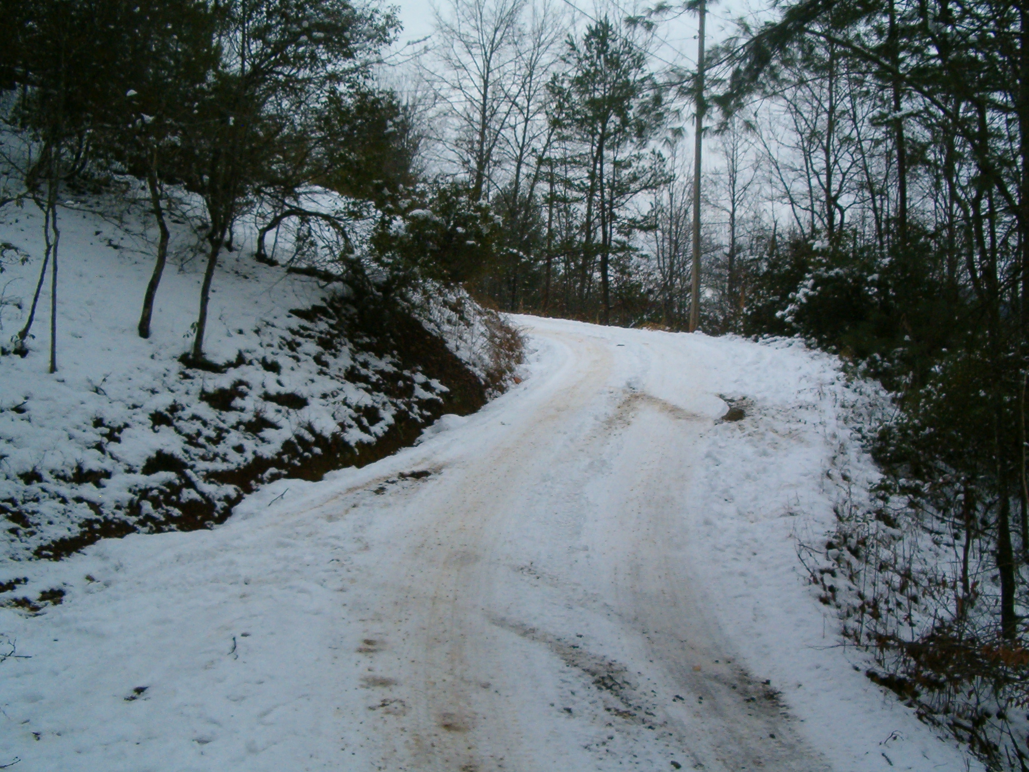
The hills and roads tucked in the mountains in Tennessee

Man and Squirrel on Tracks

Maple Glow
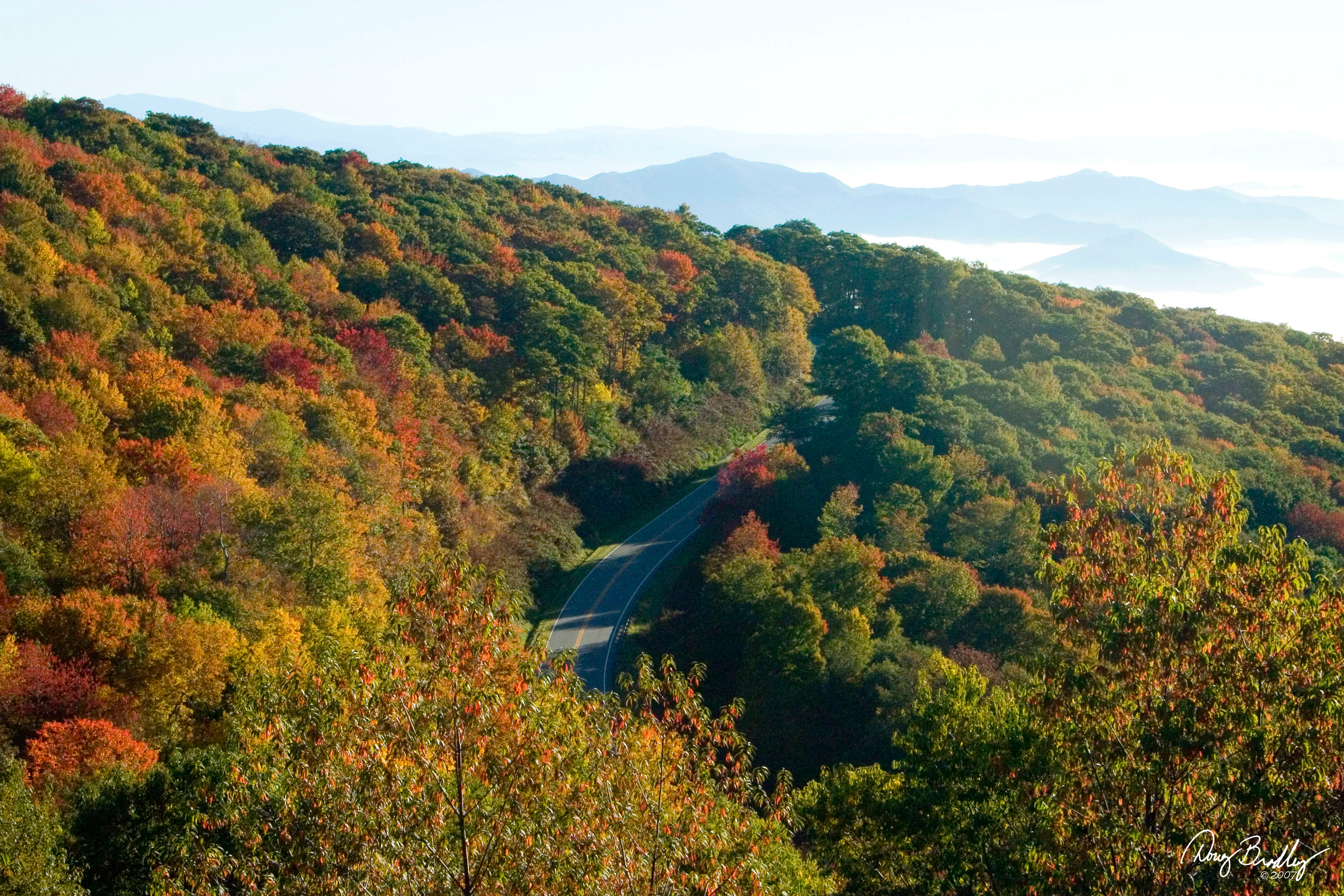
Cherohala Skyway
Topographic Map of Allmond Creek Rd, Marble, NC, USA
Find elevation by address:

Places near Allmond Creek Rd, Marble, NC, USA:
Hancock Lane
2900 Hyatt Creek Rd
2900 Hyatt Creek Rd
2900 Hyatt Creek Rd
2900 Hyatt Creek Rd
2900 Hyatt Creek Rd
384 River Landing Estates Dr
Marble
419 River Landing Estates Dr
119 Burnt Branch Rd
34 Gilbert Rd
264 Zekes Trail
Zekes Trail
397 Graybeard Mtn Trail
465 Zekes Trail
67 Steeple Ln
548 Zekes Trail
678 High Falls Rd
128 Silver Birch Ln
Recent Searches:
- Elevation of Rojo Ct, Atascadero, CA, USA
- Elevation of Flagstaff Drive, Flagstaff Dr, North Carolina, USA
- Elevation of Avery Ln, Lakeland, FL, USA
- Elevation of Woolwine, VA, USA
- Elevation of Lumagwas Diversified Farmers Multi-Purpose Cooperative, Lumagwas, Adtuyon, RV32+MH7, Pangantucan, Bukidnon, Philippines
- Elevation of Homestead Ridge, New Braunfels, TX, USA
- Elevation of Orchard Road, Orchard Rd, Marlborough, NY, USA
- Elevation of 12 Hutchinson Woods Dr, Fletcher, NC, USA
- Elevation of Holloway Ave, San Francisco, CA, USA
- Elevation of Norfolk, NY, USA