Elevation of Allison Watts Rd, Franklin, NC, USA
Location: United States > North Carolina > Macon County > Franklin > Franklin >
Longitude: -83.478026
Latitude: 35.104988
Elevation: 712m / 2336feet
Barometric Pressure: 93KPa
Elevation Map:
Satellite Map:
Related Photos:

Nantahala Ranger House #3

Smoky Mountains on Fire (III)

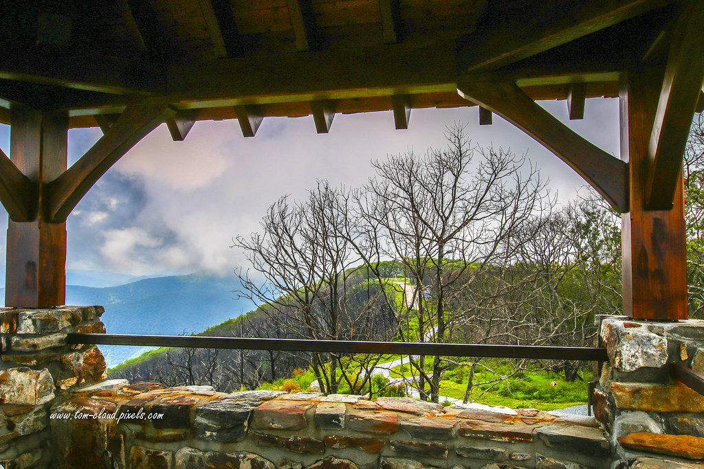
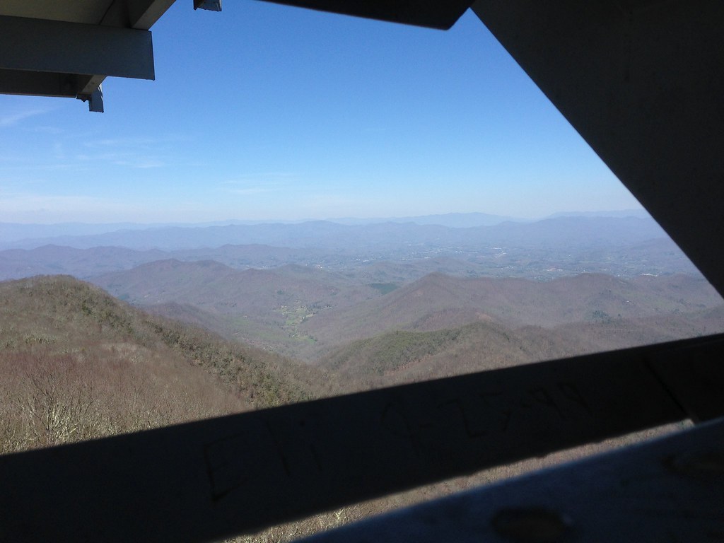
Observation Tower View

W4C/WM-024 - Siler Bald View

Tower Mountain View

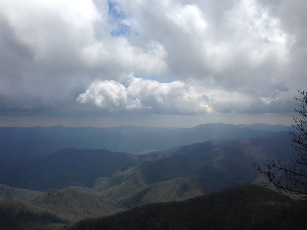
Cloudy Mountain View

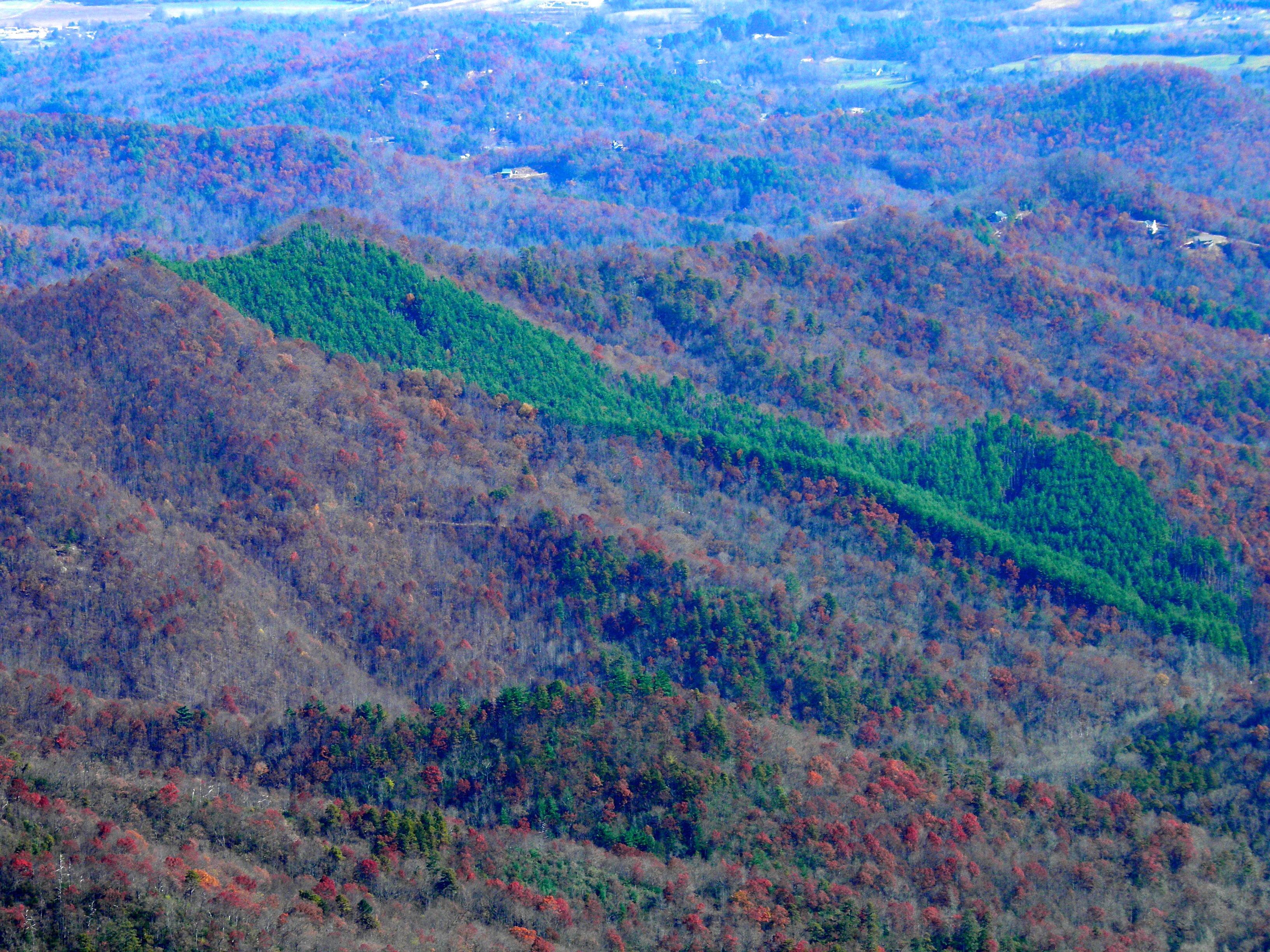
Wayah Bald Mountain View

Summer Mountain View
Wayah Bald View

Smoky Mountains on Fire (II)
Standing Indian22

Standing Indian Mountain
View from Wayah Bald Tower

Barker’s Creek in Dillard, Georgia
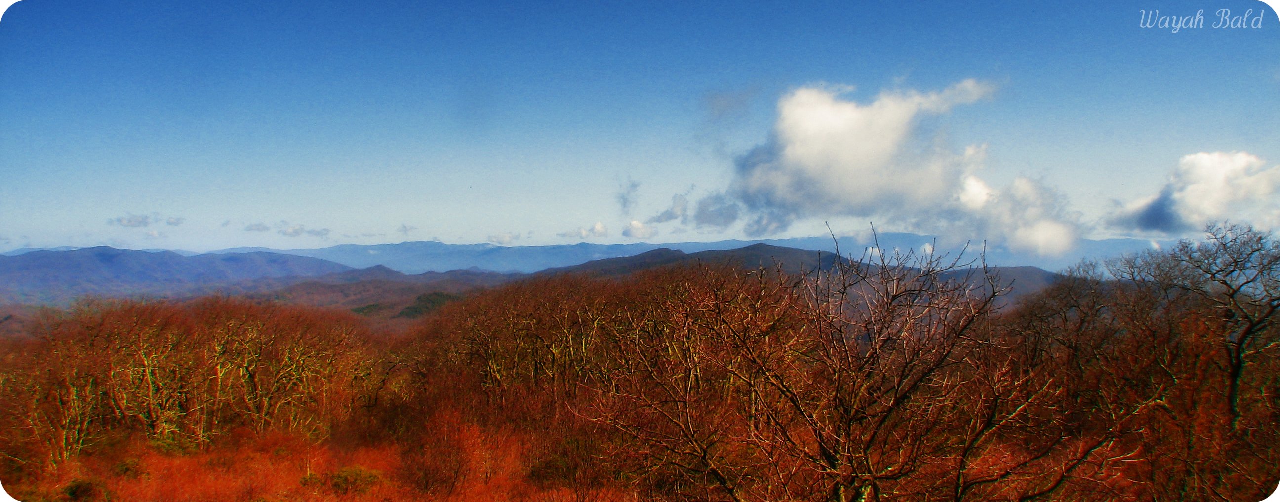
Wayah Bald
View from Albert Mountain

82-140_View_from_Wayah_Bald_Nantahala_National_Forest_NC

Halfway up Runaway Knob

view from the road
Standing Indian23

Standing Indian Mountain

Mountain waves

Shalin & waterfall N.C. '07
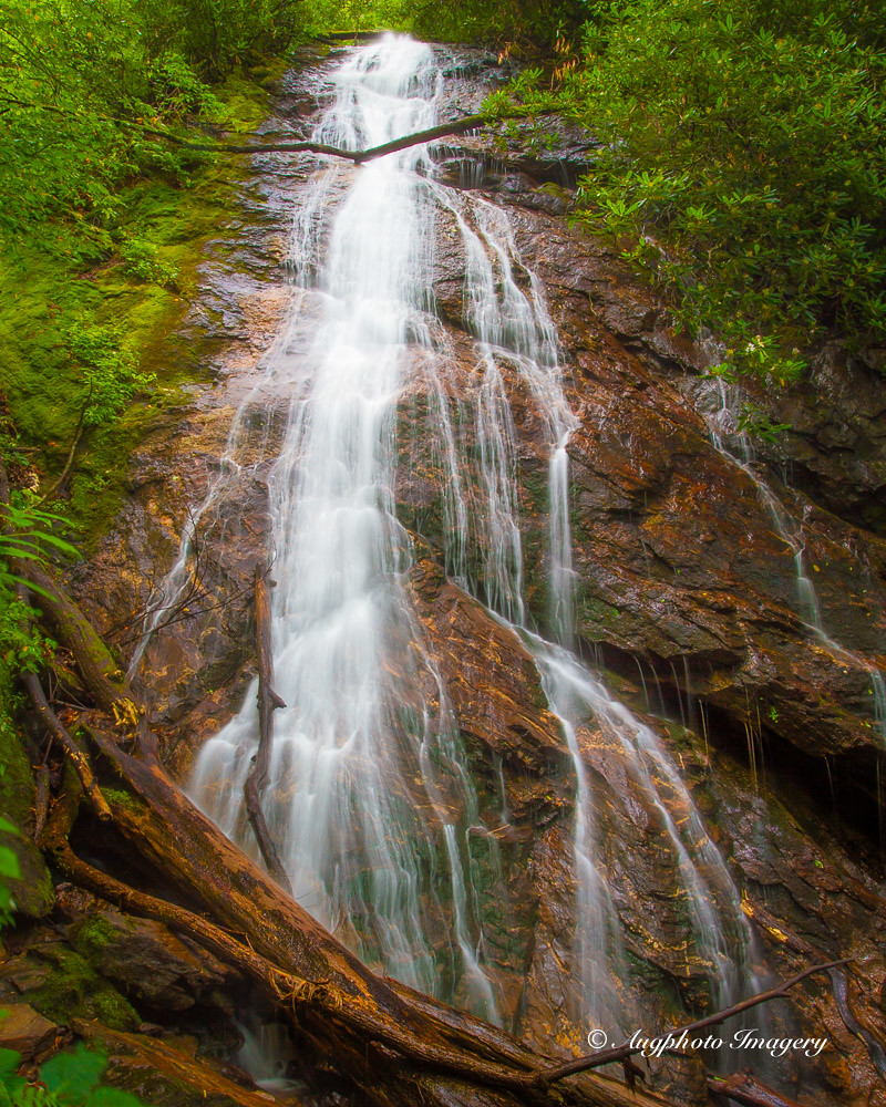
Rufus Morgan Falls

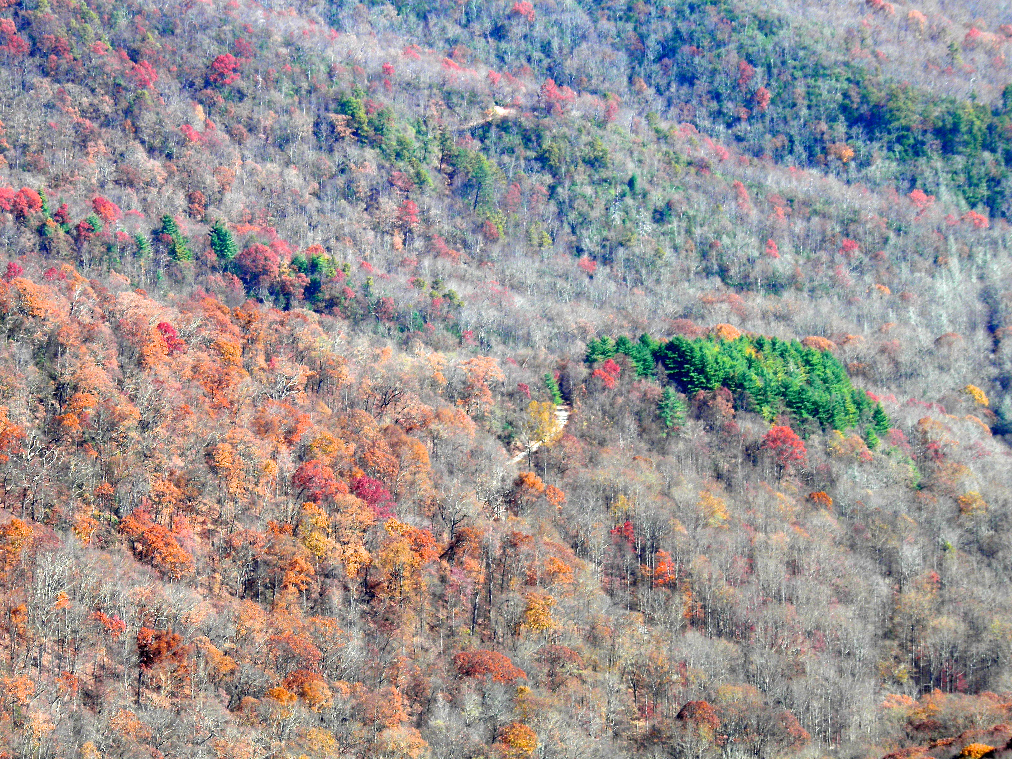
Fall colors

bird-like fossil
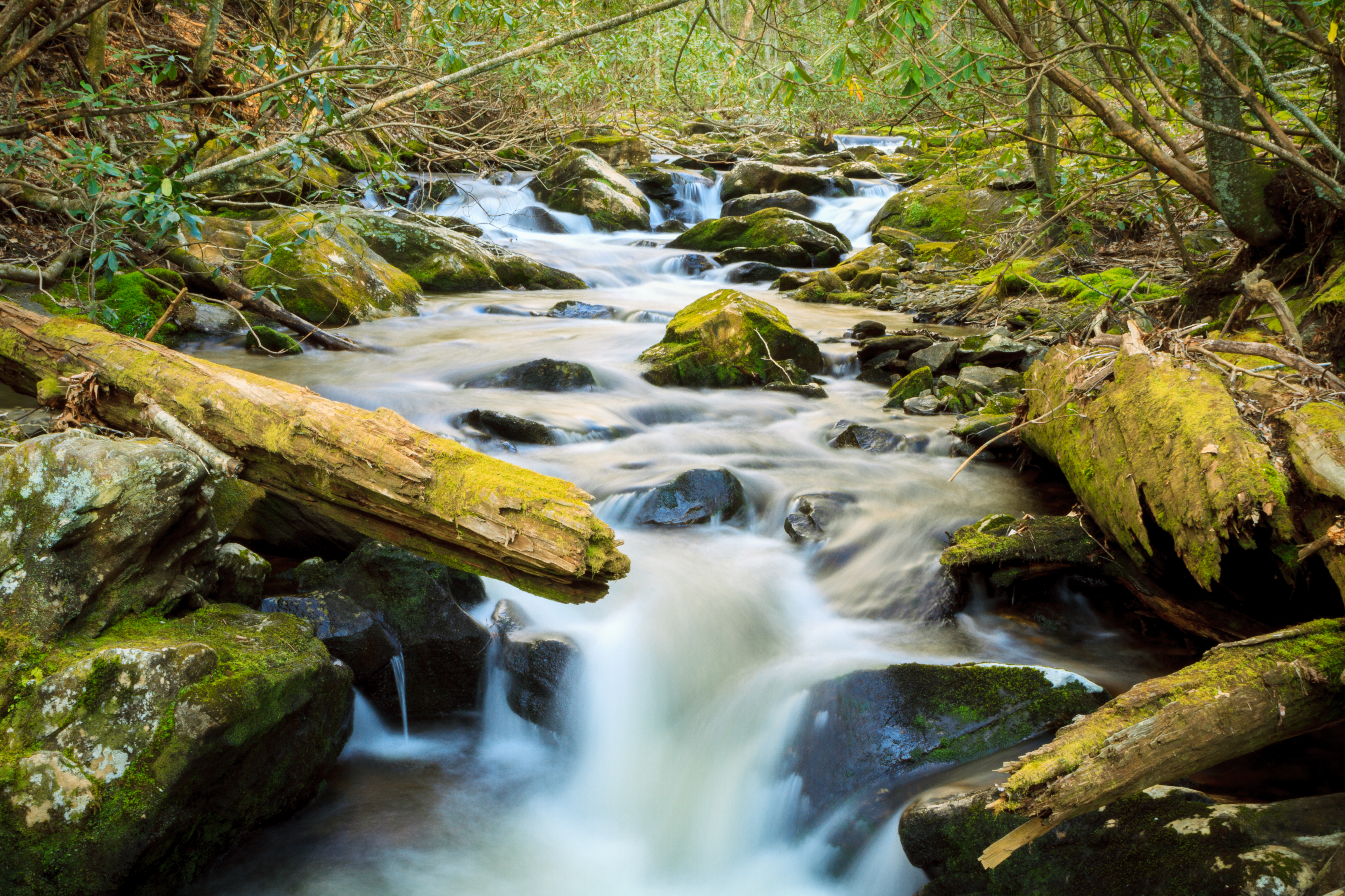
Mooney Creek

Big Laurel Falls #franklin #standingindian #appalachia #blueridgecountry #welovenc #we_see_wnc #wilderness_culture #biglaurelfalls #diamondbrand_outdoors #cmc100challenge #stream #falls #explore #westernnorthcarolina #landofwaterfalls

Interstate ice wall

Blue Ridge

Low cloudbank descending over the Pinnacle from Albert Mountain summit, Nantahala National Forest

Rufus Morgan Trailhead-8489
Train tour of the Great Smoky Mts

Looking Glass Falls, Pisgah National Forest, NC

Rufus Morgan Falls-8485

Rufus Morgan Trailhead-8453

Rufus Morgan Falls-8486
Topographic Map of Allison Watts Rd, Franklin, NC, USA
Find elevation by address:

Places near Allison Watts Rd, Franklin, NC, USA:
180 Woodcrest Cir
Allison Watts Road
Creekside Lane
2134 Allison Watts Rd
862 Allison Watts Rd
12 Mountain Paradise Dr
2533 W Old Murphy Rd
248 Deerwood Dr
Deerwood Drive
1470 W Old Murphy Rd
1307 Meadow Mountain Estate Rd
289 Harrison Gap Rd
West Dills Creek Road
4187 W Old Murphy Rd
401 Dobson Mountain Rd
984 W Old Murphy Rd
929 Blaine Mountain Estate Rd
888 W Old Murphy Rd
172 Crestline Dr
158 Groaning Hill Rd
Recent Searches:
- Elevation of W Granada St, Tampa, FL, USA
- Elevation of Pykes Down, Ivybridge PL21 0BY, UK
- Elevation of Jalan Senandin, Lutong, Miri, Sarawak, Malaysia
- Elevation of Bilohirs'k
- Elevation of 30 Oak Lawn Dr, Barkhamsted, CT, USA
- Elevation of Luther Road, Luther Rd, Auburn, CA, USA
- Elevation of Unnamed Road, Respublika Severnaya Osetiya — Alaniya, Russia
- Elevation of Verkhny Fiagdon, North Ossetia–Alania Republic, Russia
- Elevation of F. Viola Hiway, San Rafael, Bulacan, Philippines
- Elevation of Herbage Dr, Gulfport, MS, USA