Elevation of Allenton St, Norwood, NC, USA
Location: United States > North Carolina > Stanly County >
Longitude: -80.098769
Latitude: 35.233058
Elevation: 90m / 295feet
Barometric Pressure: 100KPa
Elevation Map:
Satellite Map:
Related Photos:

Another Look at the Tussock Caterpillar
"It's so beautiful!"

Posing Mantis
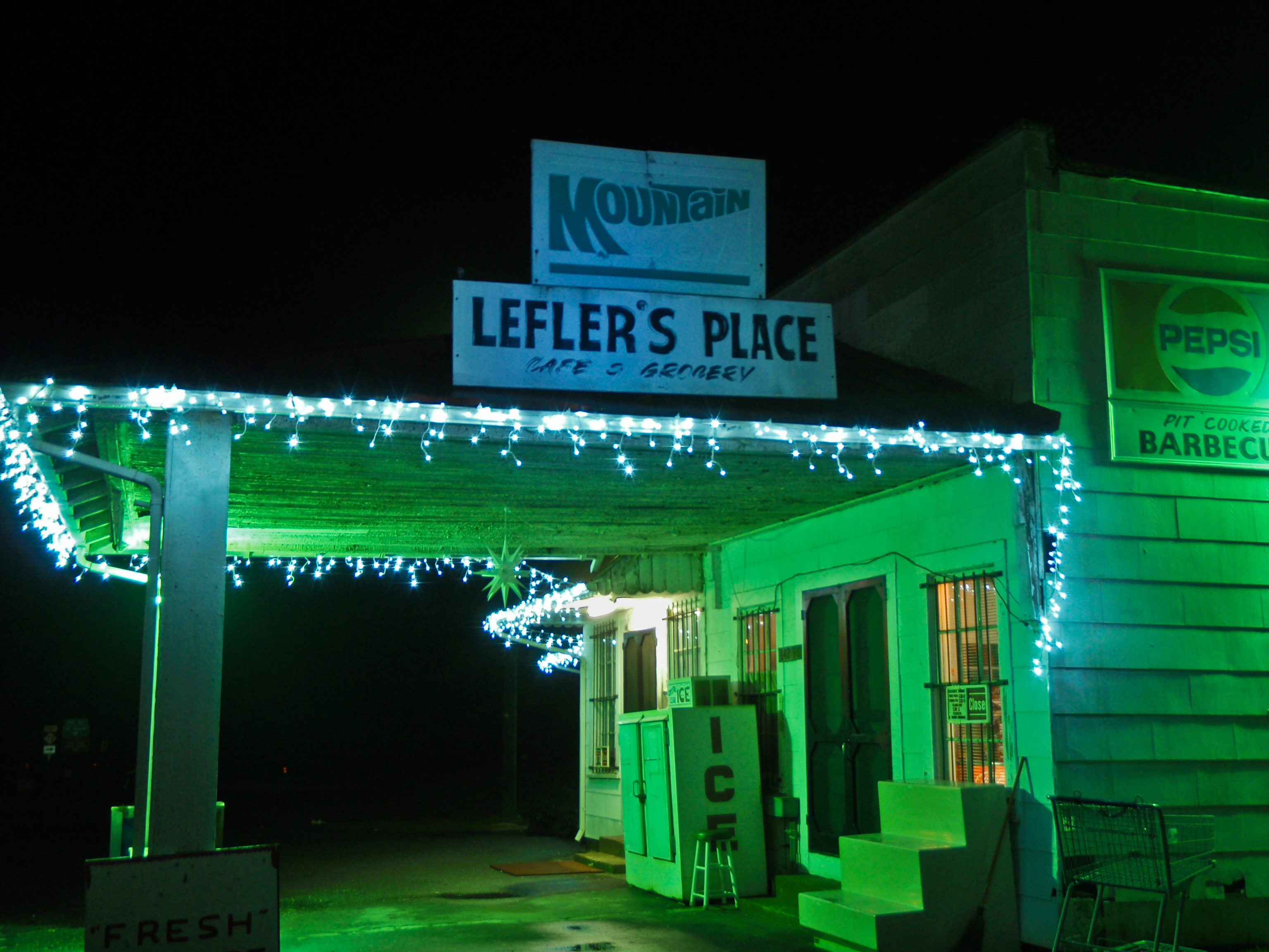
Lefler's Place
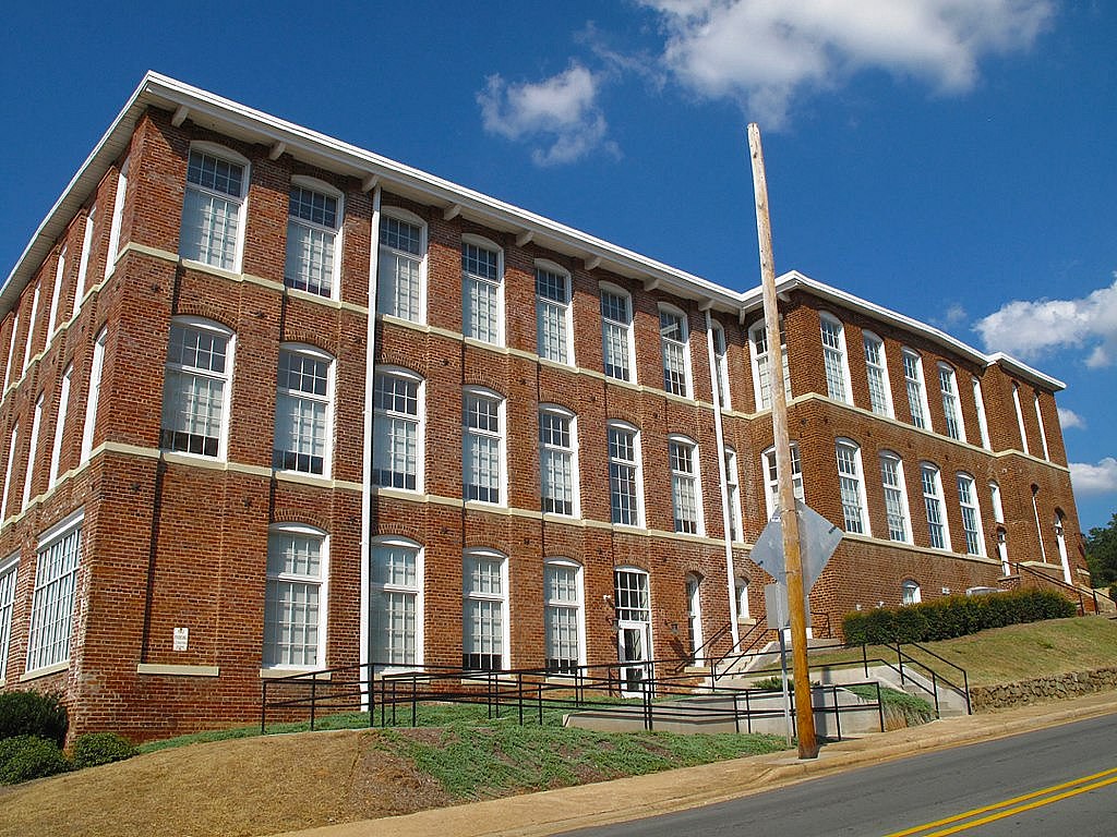
RED BRICKS AND BLUE SKY

RAWR!

The Lovers

Great White Egret

That Golden Light

Flight of the Eagle

Approaching Winds

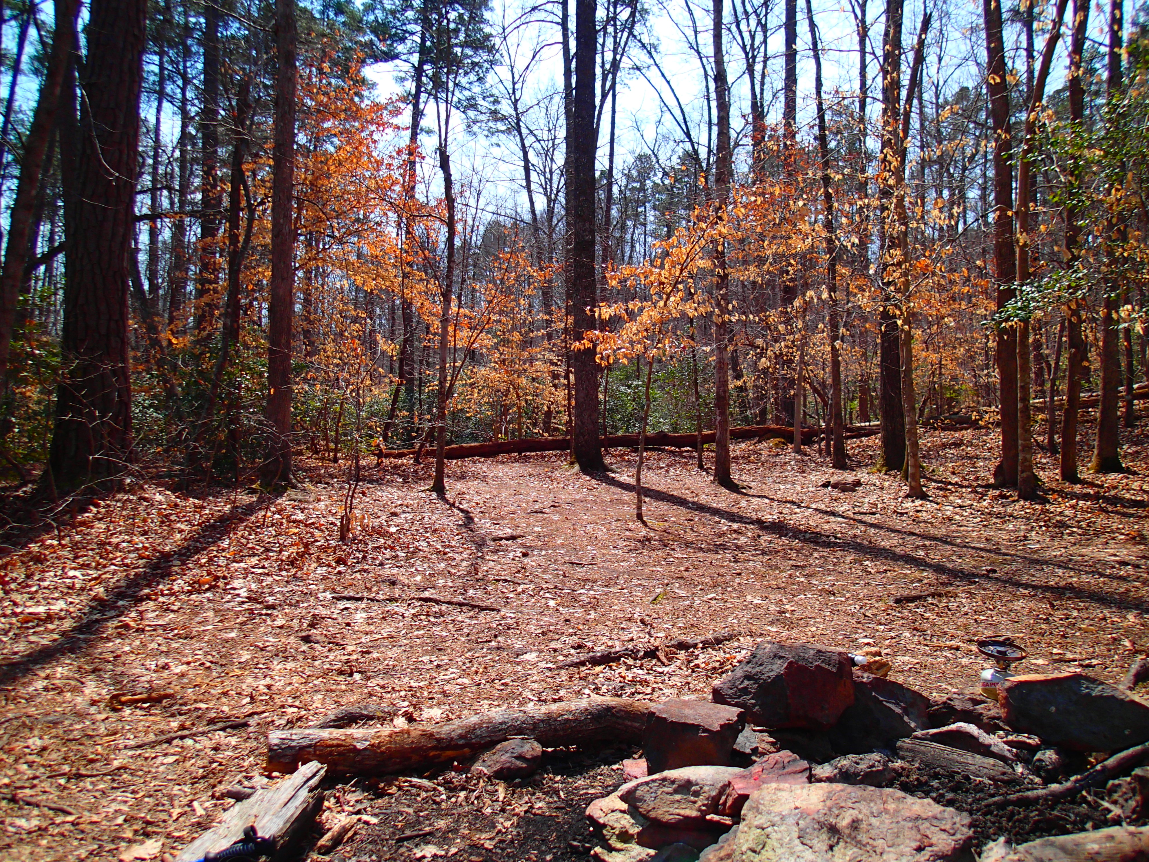
The Rust of Autumn

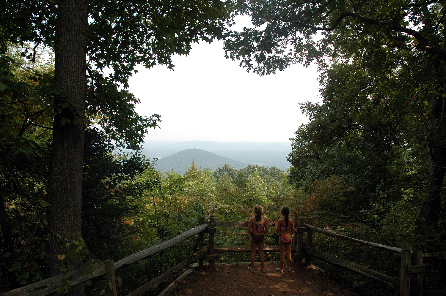
Shaded at the top of the mountain

DSC_0656 e 4x6

Heading for the summit waterbreak
Capturing the Moment

Smiling after that climb!
Heading back down the mountain

Randall Memorial Church

Getting to the top together

Mountaintop reststop and water break

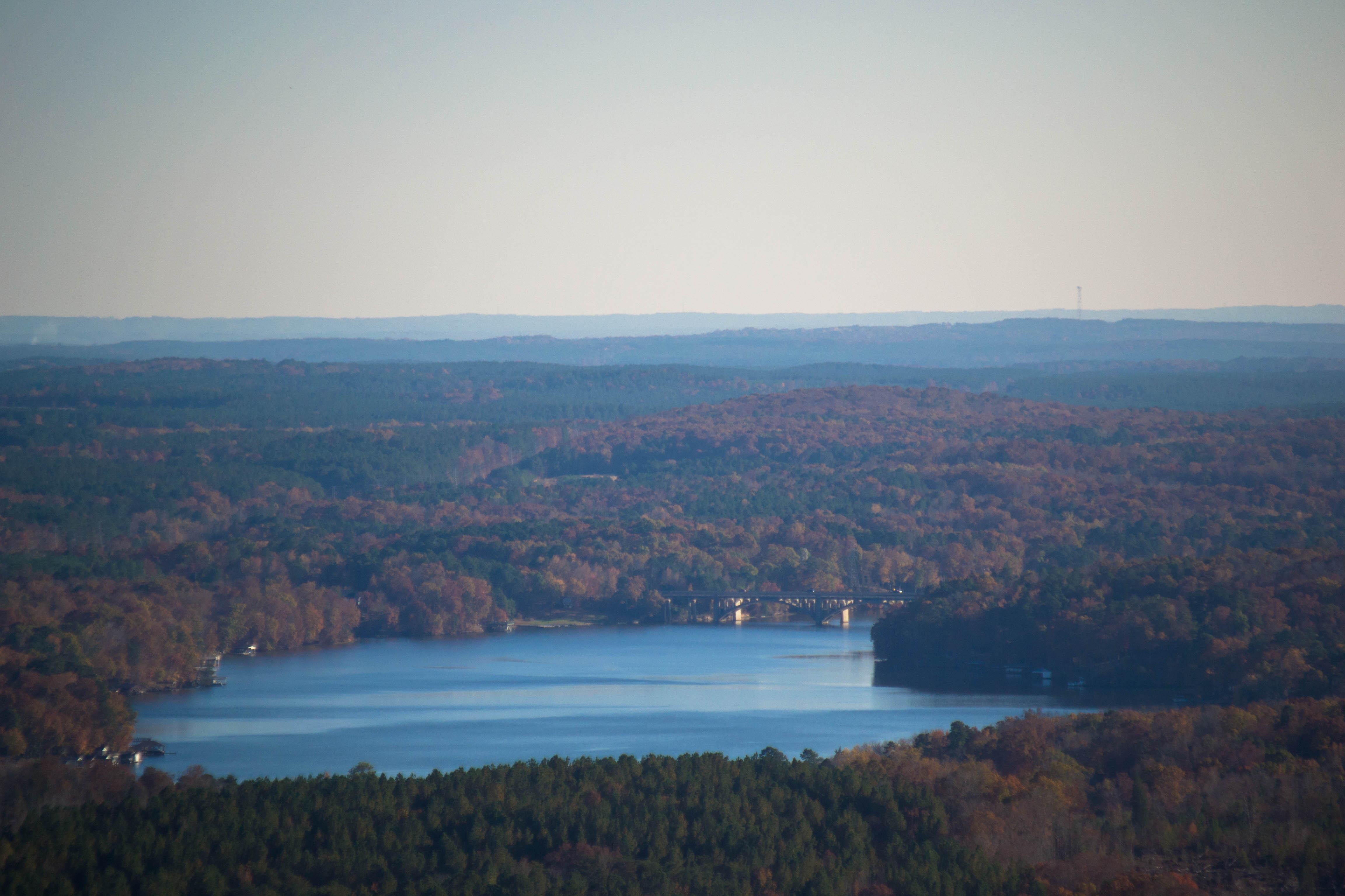
Morrow Mountain

The Architect (explore)

Waiting for the recharge

Morrow Mountain

Crossed (variation)

So this is why they call it #Supertree trail. #uwharrie

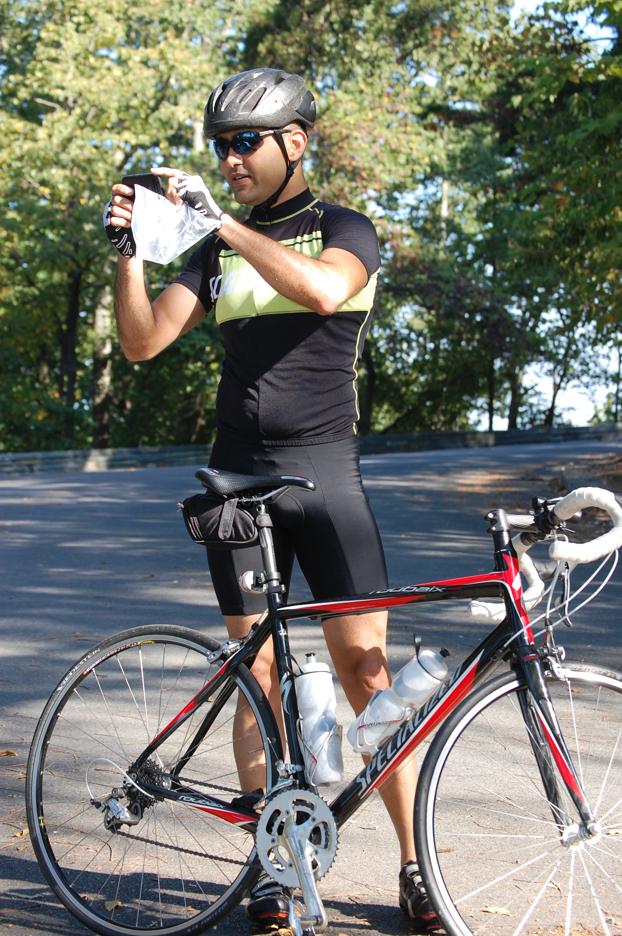
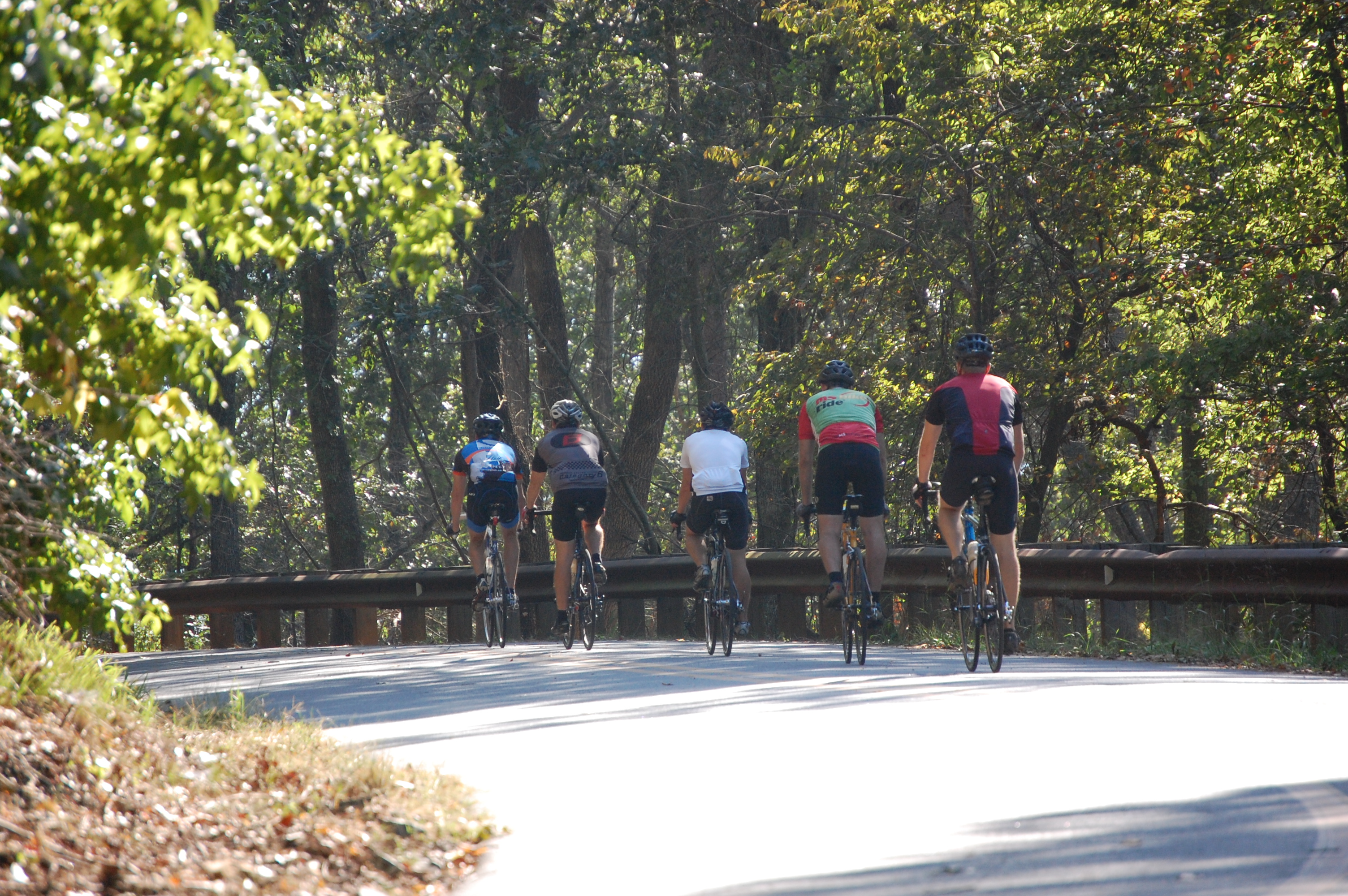
Prepare to go the distance

Double Rainbow
Nice place for lunch

American spirit

12/25/13 (Merry Christmas Flickr)
20141115-DSC_4711

Riverside #nikon #littleriver #peedeeriverbasin #mextures #mexturesapp #river #outdoors #outside #northcarolina #northcarolinariver

24-27 AT LAKE TILLERY BRIDGE

img 03

confessions to the world

Central-scape
20141115-DSC_4780

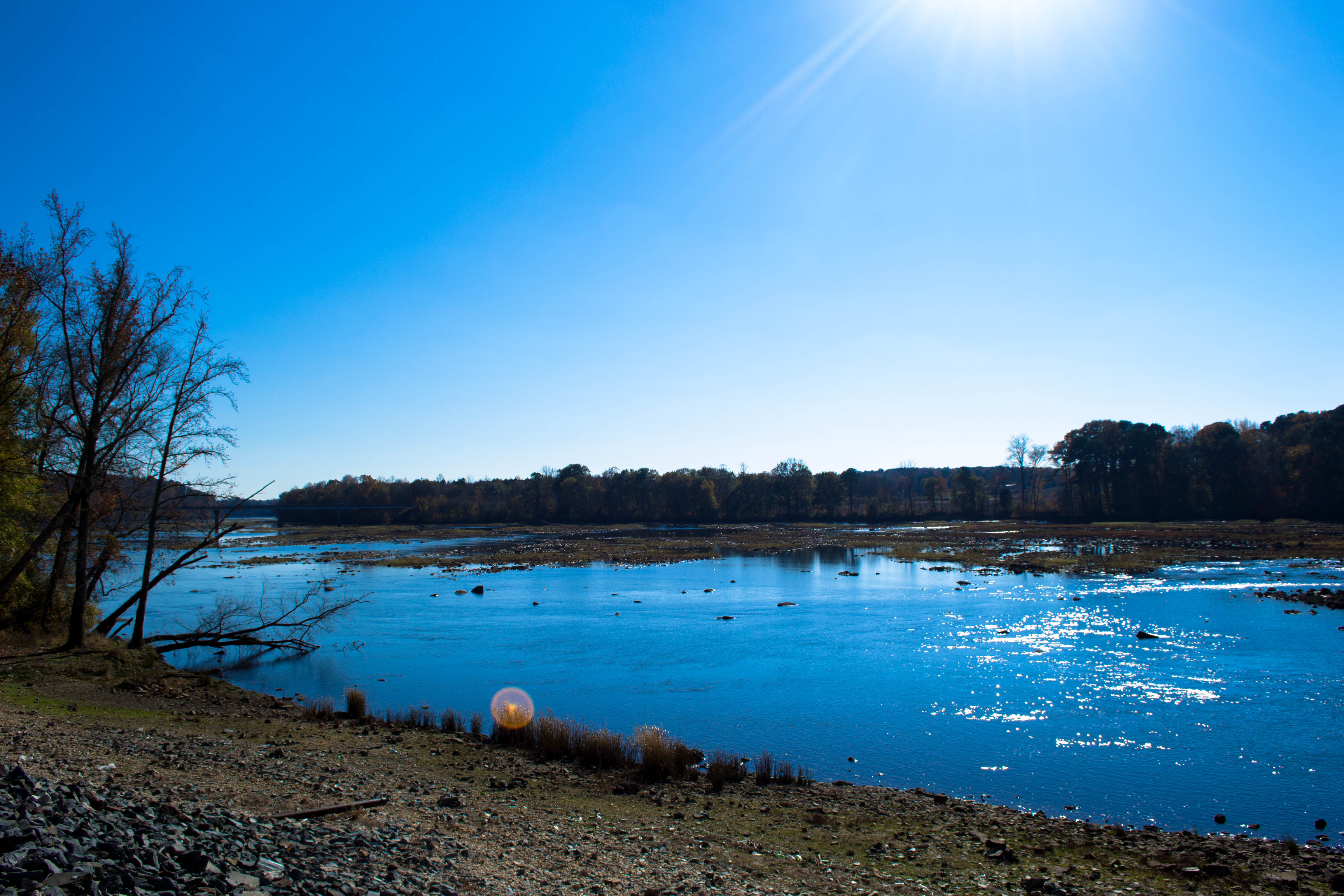
Calm lake
Topographic Map of Allenton St, Norwood, NC, USA
Find elevation by address:

Places near Allenton St, Norwood, NC, USA:
Center
Norwood
Pee Dee
26108 Mountain Ridge Rd
Mount Gilead
143 Stoney Fork Church Rd
Mount Gilead
Marwood Ln, Albemarle, NC, USA
30089 Keystone Dr
Morrow Mountain State Park
Sugarloaf Mountain
Pinelake Dr, Troy, NC, USA
Morrow Mountain Road
Liberty Hill Church Rd, Mt Gilead, NC, USA
North Albemarle
Guard Road
713 Dennis Rd
32843 Guard Rd
Thickety Creek Road
Uwharrie
Recent Searches:
- Elevation of Kreuzburger Weg 13, Düsseldorf, Germany
- Elevation of Gateway Blvd SE, Canton, OH, USA
- Elevation of East W.T. Harris Boulevard, E W.T. Harris Blvd, Charlotte, NC, USA
- Elevation of West Sugar Creek, Charlotte, NC, USA
- Elevation of Wayland, NY, USA
- Elevation of Steadfast Ct, Daphne, AL, USA
- Elevation of Lagasgasan, X+CQH, Tiaong, Quezon, Philippines
- Elevation of Rojo Ct, Atascadero, CA, USA
- Elevation of Flagstaff Drive, Flagstaff Dr, North Carolina, USA
- Elevation of Avery Ln, Lakeland, FL, USA