Elevation of Allardville, NB, Canada
Location: Canada > New Brunswick > Gloucester County >
Longitude: -65.472093
Latitude: 47.4575197
Elevation: 159m / 522feet
Barometric Pressure: 99KPa
Elevation Map:
Satellite Map:
Related Photos:
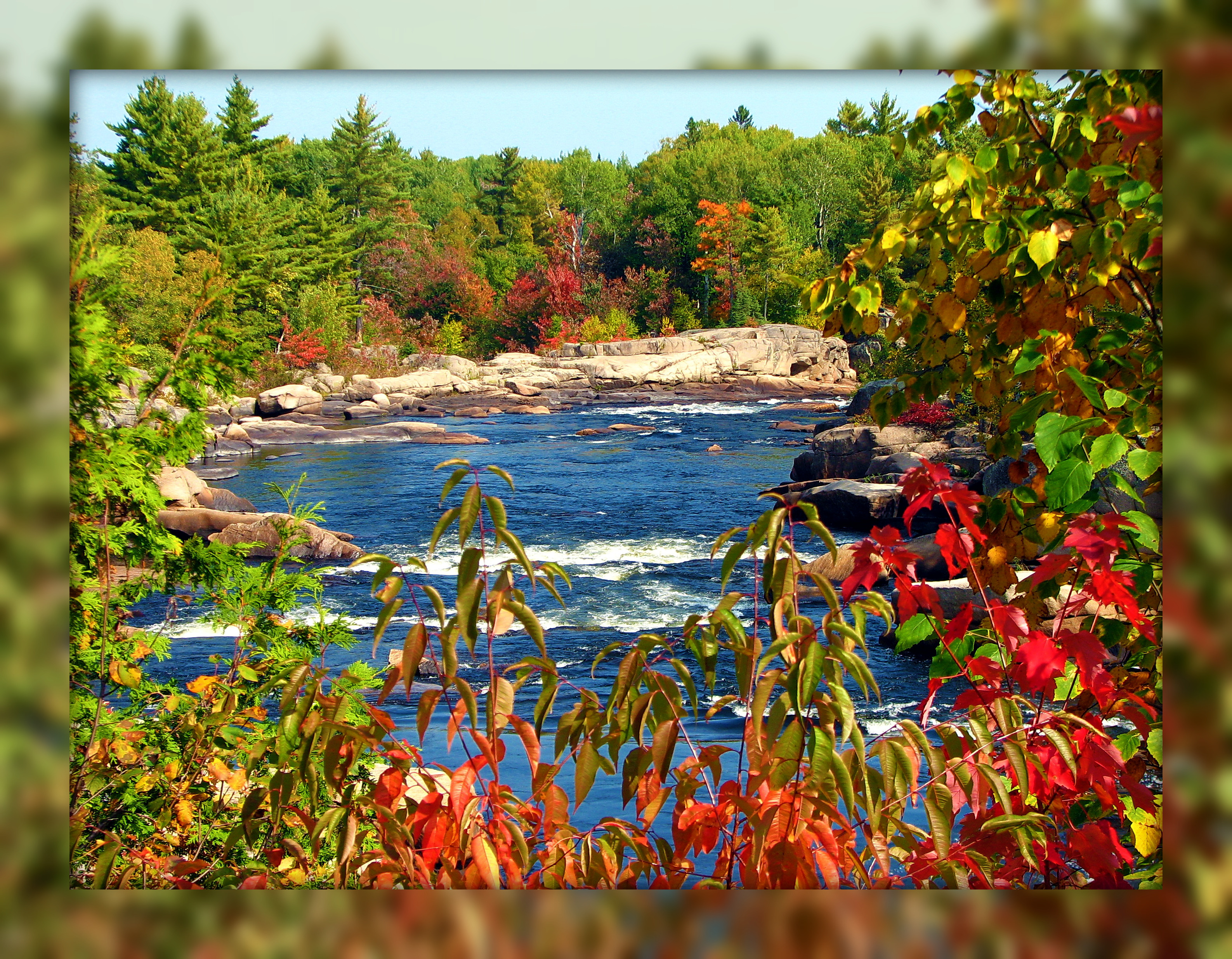
Nipisiquit River
Fall at the Falls
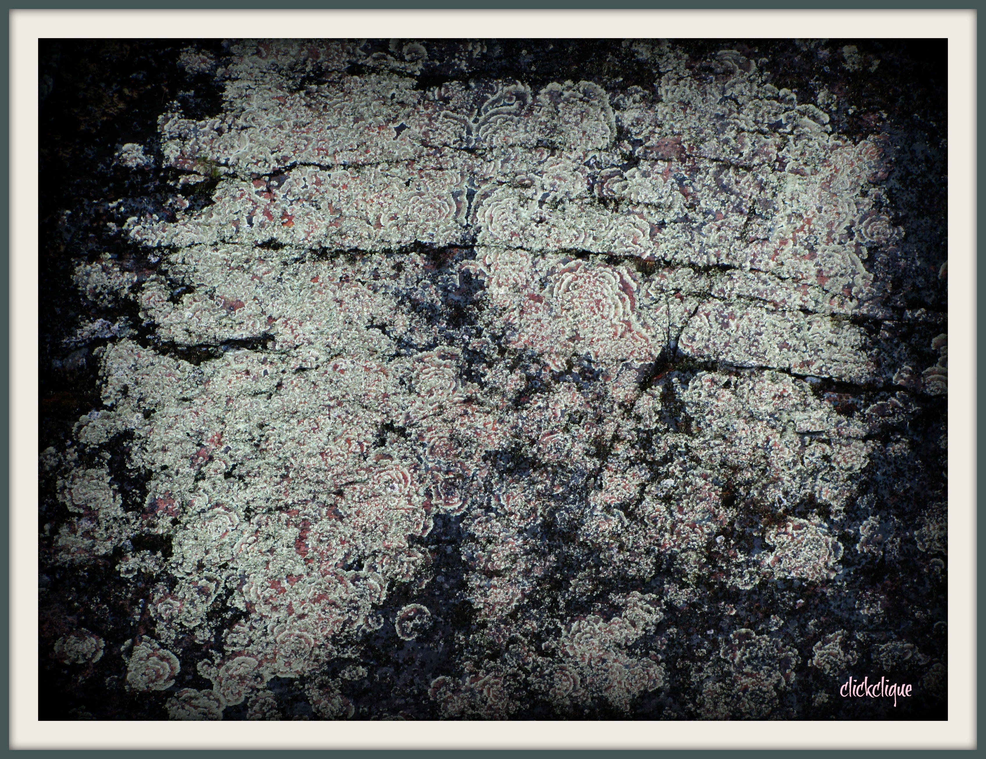
Lichen Art
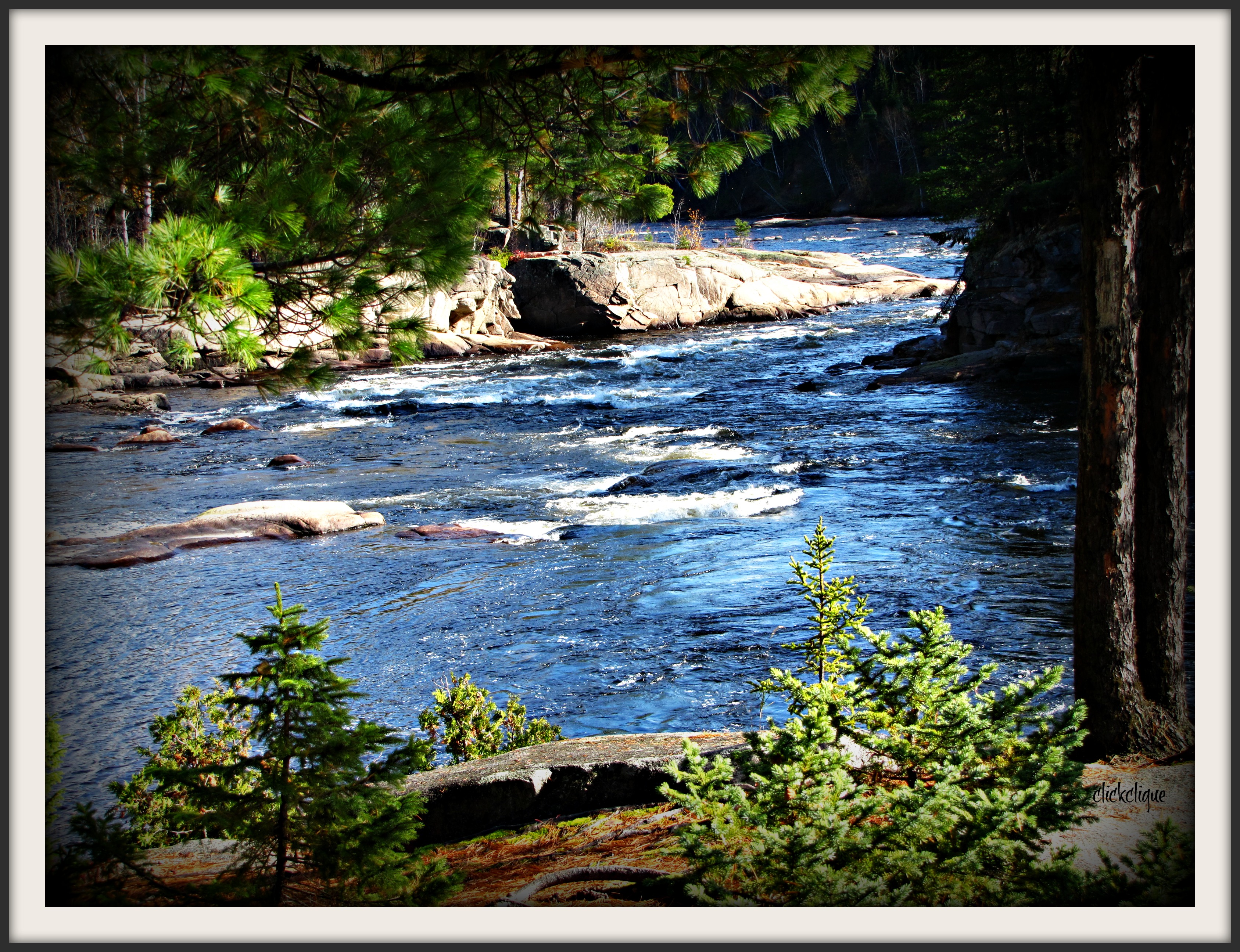
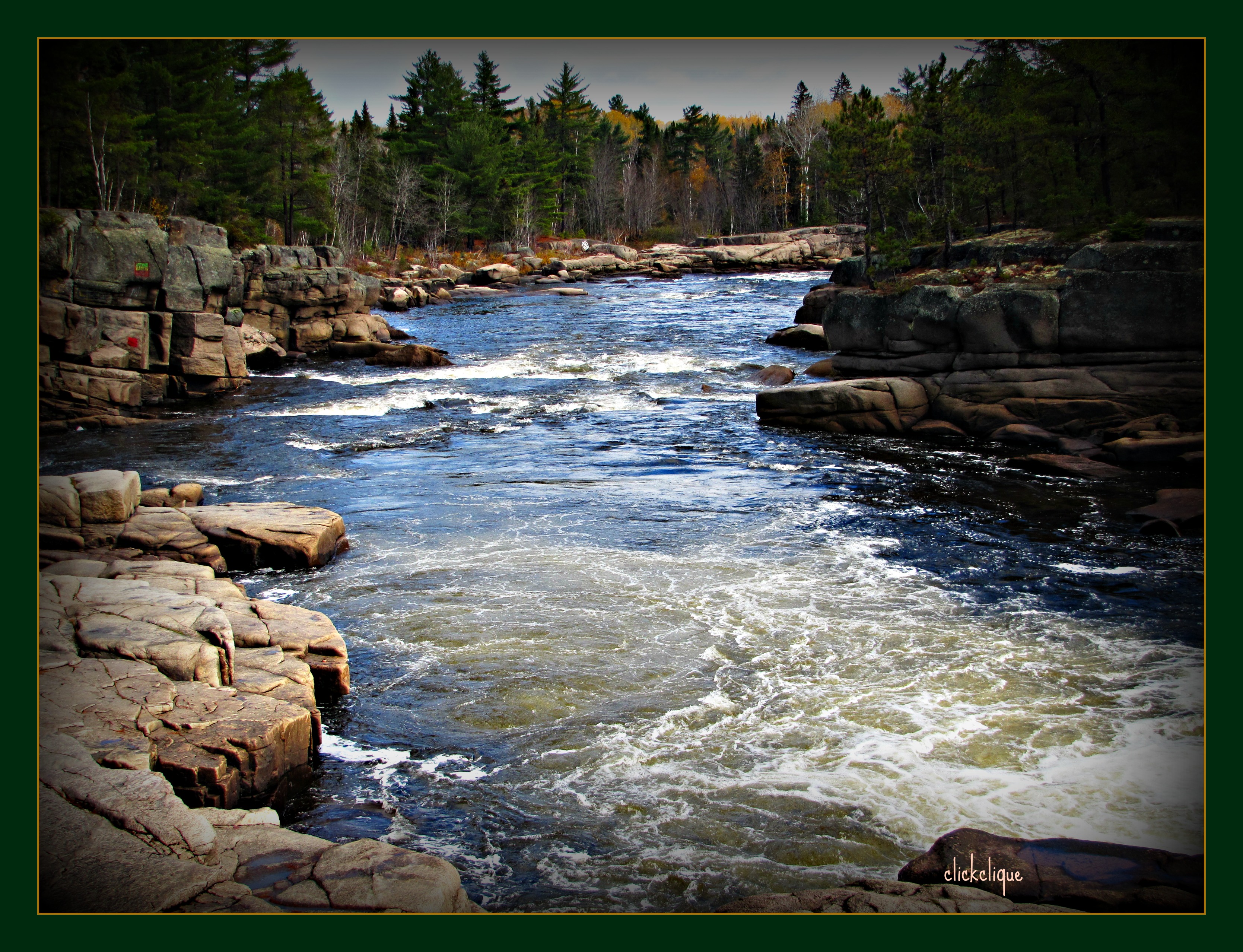
Bend in the River
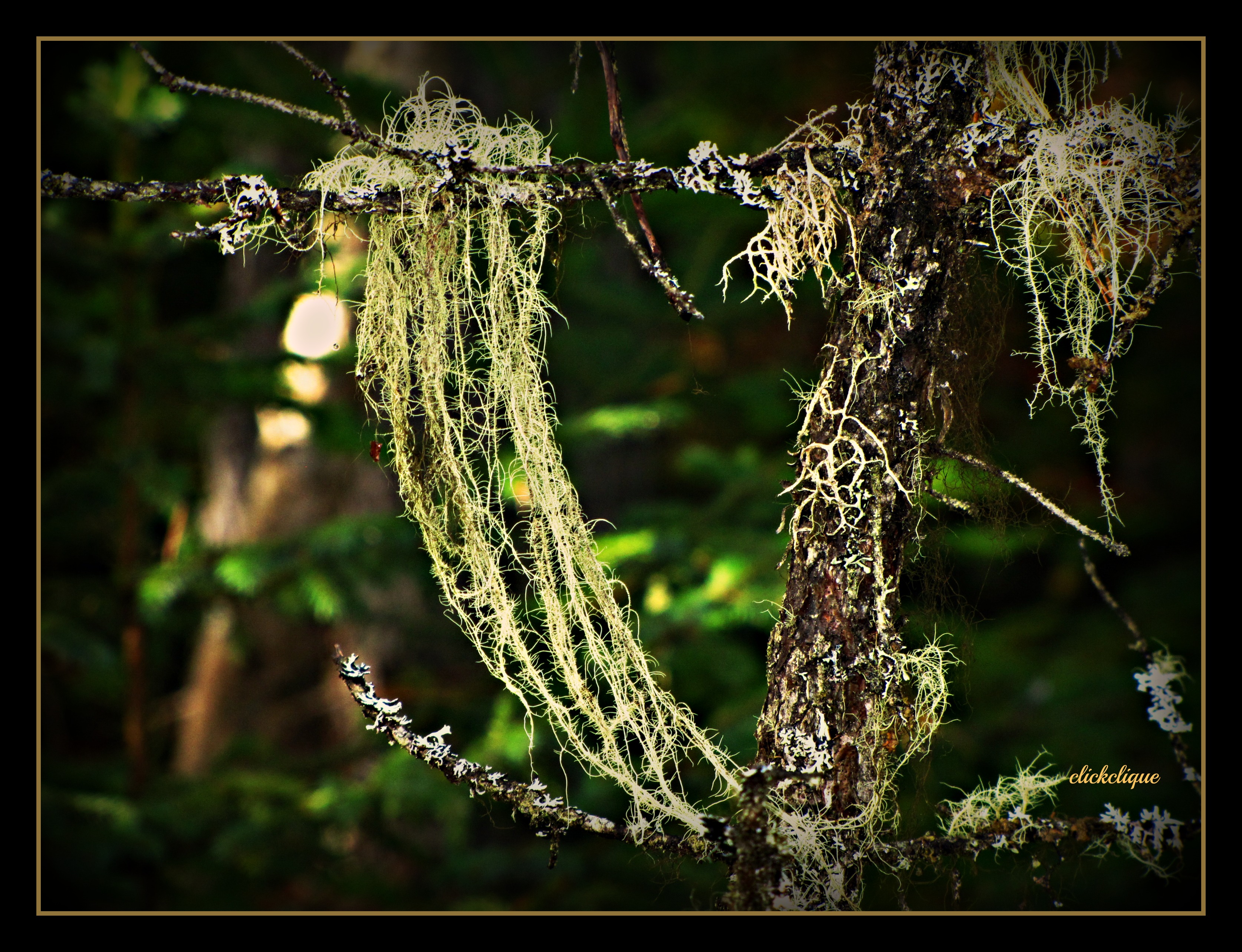
Usnea~ A lichen
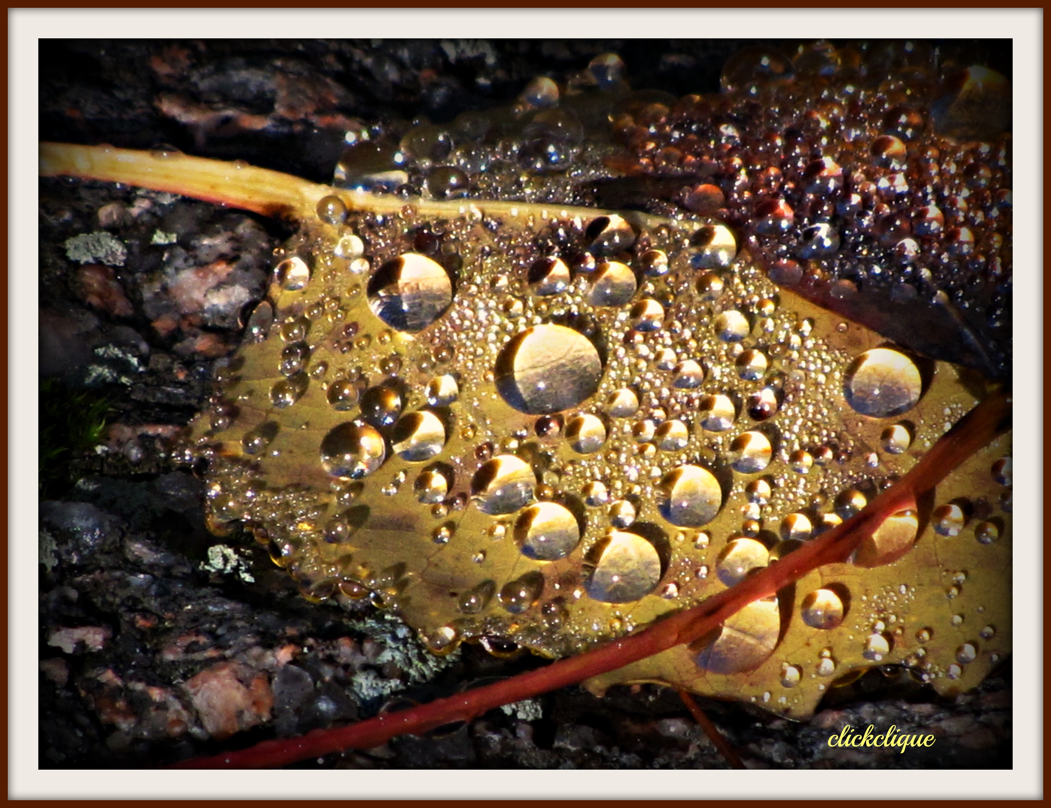
Raindrops on a leaf with refractions
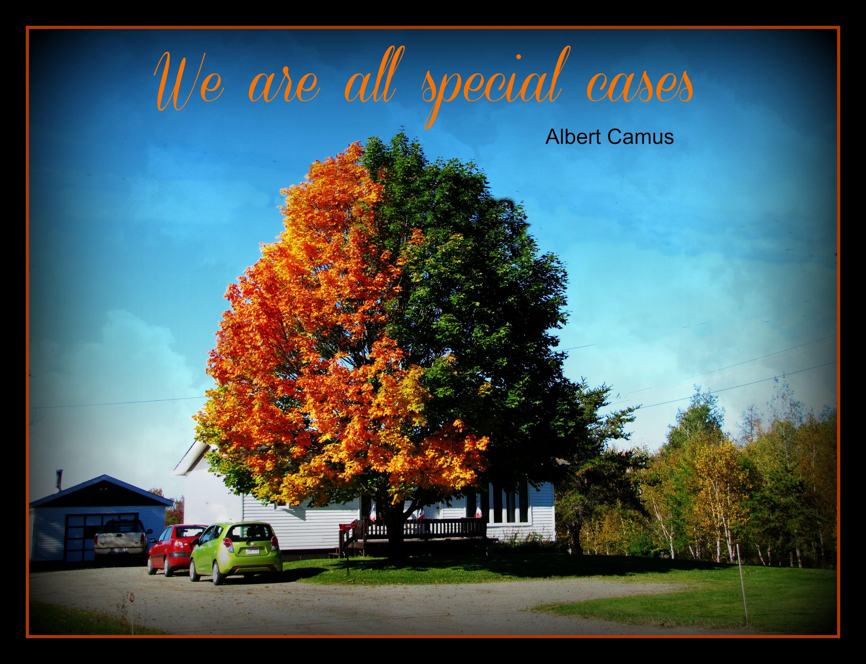
Tree of conflict
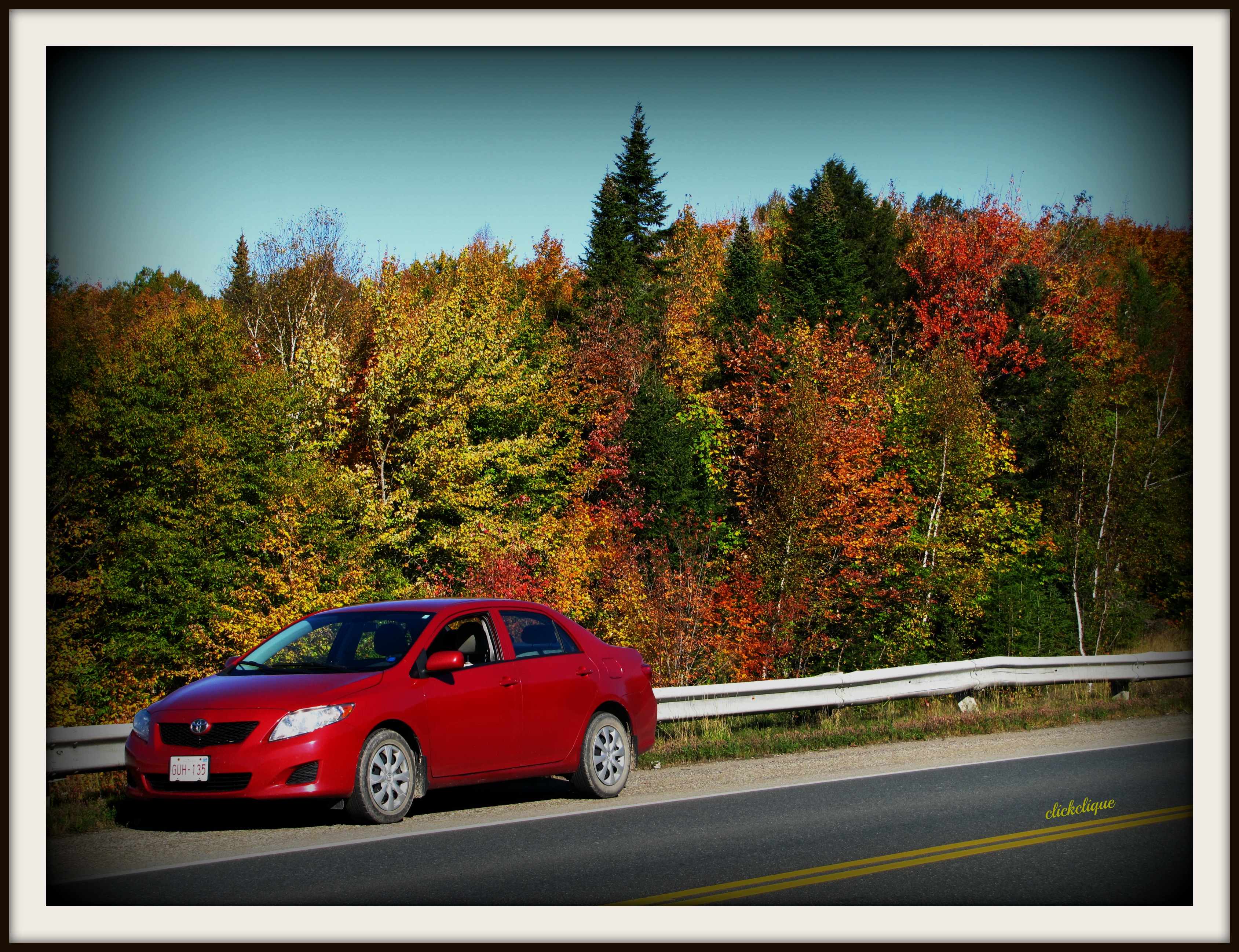
Fall along the highway
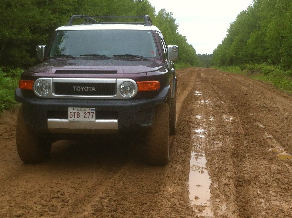
FJ Cruiser
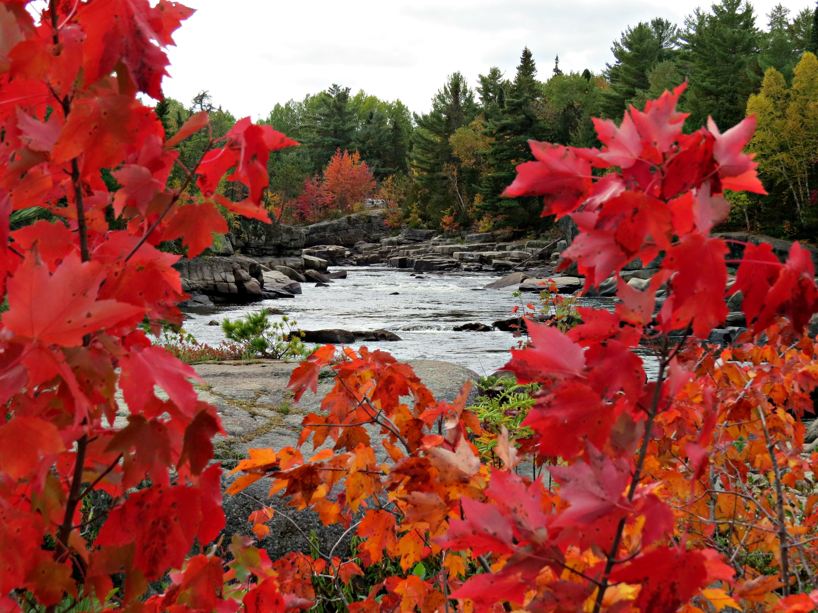
Framed in Red
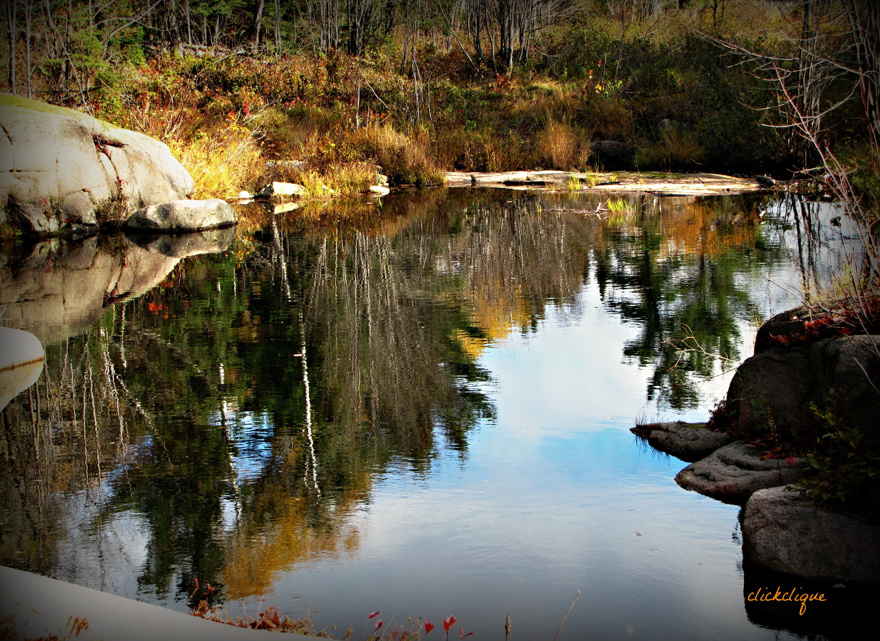
Small pond reflections along Papineau Falls
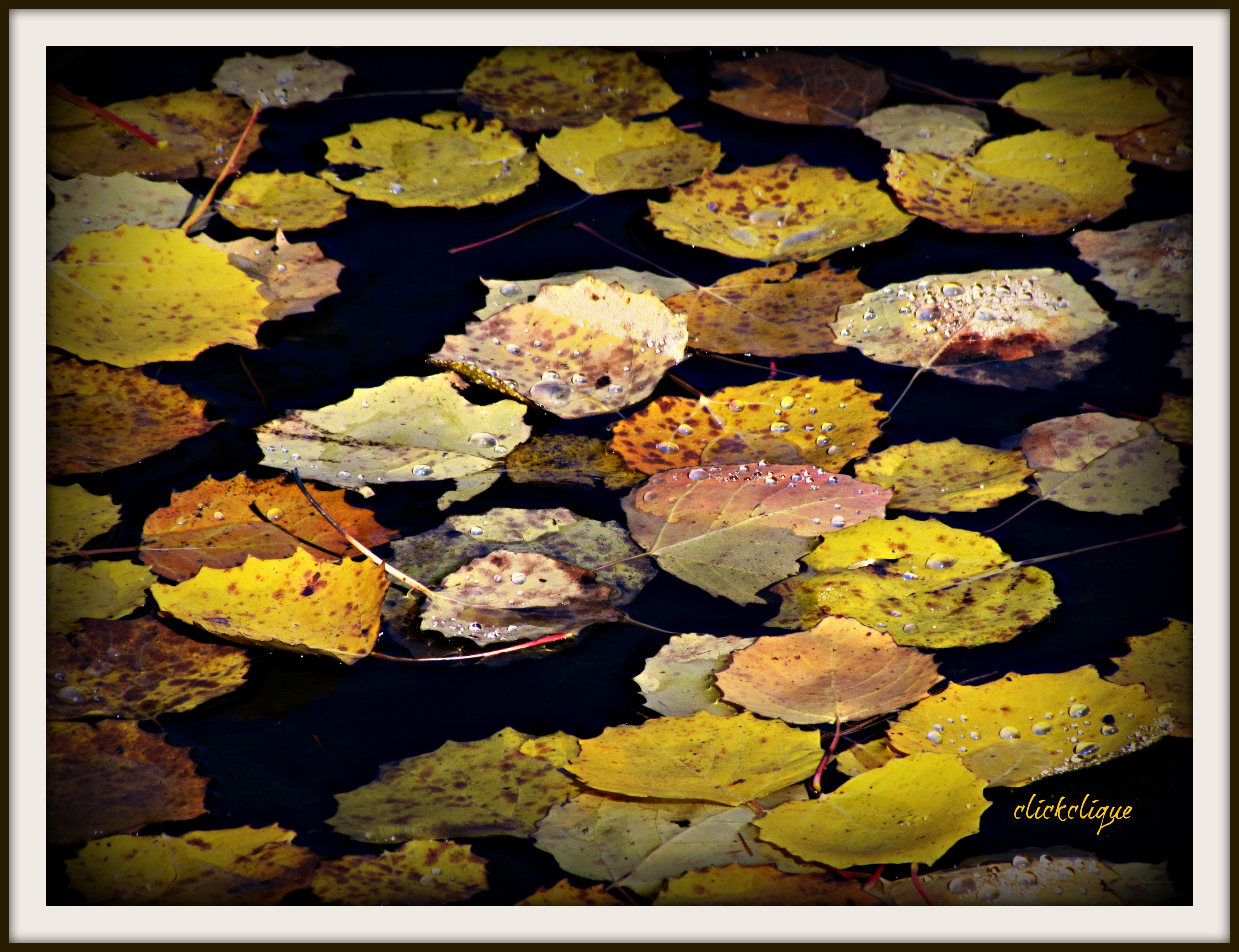
Floating in the pond
Topographic Map of Allardville, NB, Canada
Find elevation by address:

Places in Allardville, NB, Canada:
Places near Allardville, NB, Canada:
NB-, Saint-Sauveur, NB E8L 1N4, Canada
1024 Packard St
Gloucester Junction Rd, Gloucester Junction, NB E2A 6H4, Canada
Foley St, Bathurst, NB E2A 4W7, Canada
Gloucester County
Saint-sauveur
Rough Waters Dr, Bathurst, NB E2A 1Z5, Canada
Carron Dr, Bathurst, NB E2A, Canada
Janeville
344 St Patrick St
Bathurst
NB-, Lavillette, NB E9G 2P9, Canada
Newcastle
759 West Dr
Lavillette
Canobie
850 Poirier St
NB-, Bathurst, NB E2A, Canada
Allainville
Sunset Dr, Bathurst, NB E2A 3P2, Canada
Recent Searches:
- Elevation of Corso Fratelli Cairoli, 35, Macerata MC, Italy
- Elevation of Tallevast Rd, Sarasota, FL, USA
- Elevation of 4th St E, Sonoma, CA, USA
- Elevation of Black Hollow Rd, Pennsdale, PA, USA
- Elevation of Oakland Ave, Williamsport, PA, USA
- Elevation of Pedrógão Grande, Portugal
- Elevation of Klee Dr, Martinsburg, WV, USA
- Elevation of Via Roma, Pieranica CR, Italy
- Elevation of Tavkvetili Mountain, Georgia
- Elevation of Hartfords Bluff Cir, Mt Pleasant, SC, USA