Elevation of Allaguia, Pinukpuk, Kalinga, Philippines
Location: Philippines > Cordillera Administrative Region > Kalinga > Pinukpuk >
Longitude: 121.359881
Latitude: 17.5624341
Elevation: 294m / 965feet
Barometric Pressure: 98KPa
Elevation Map:
Satellite Map:
Related Photos:
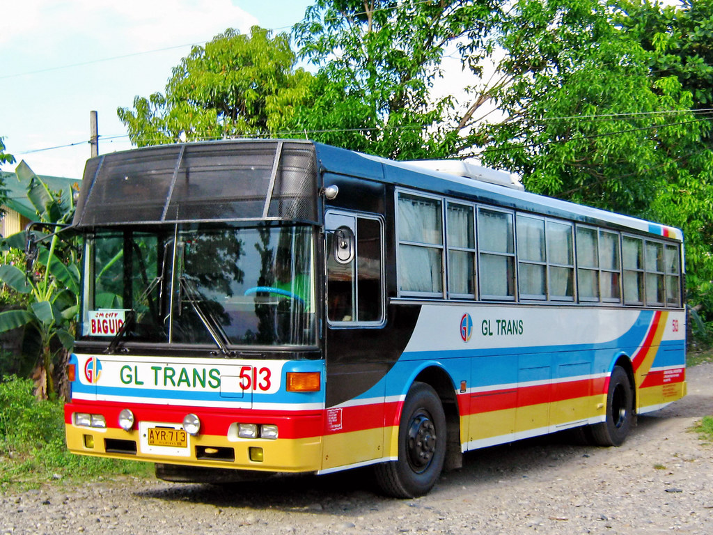
GL Trans

Victory Liner

Victory Liner 8106 at Tabuk City
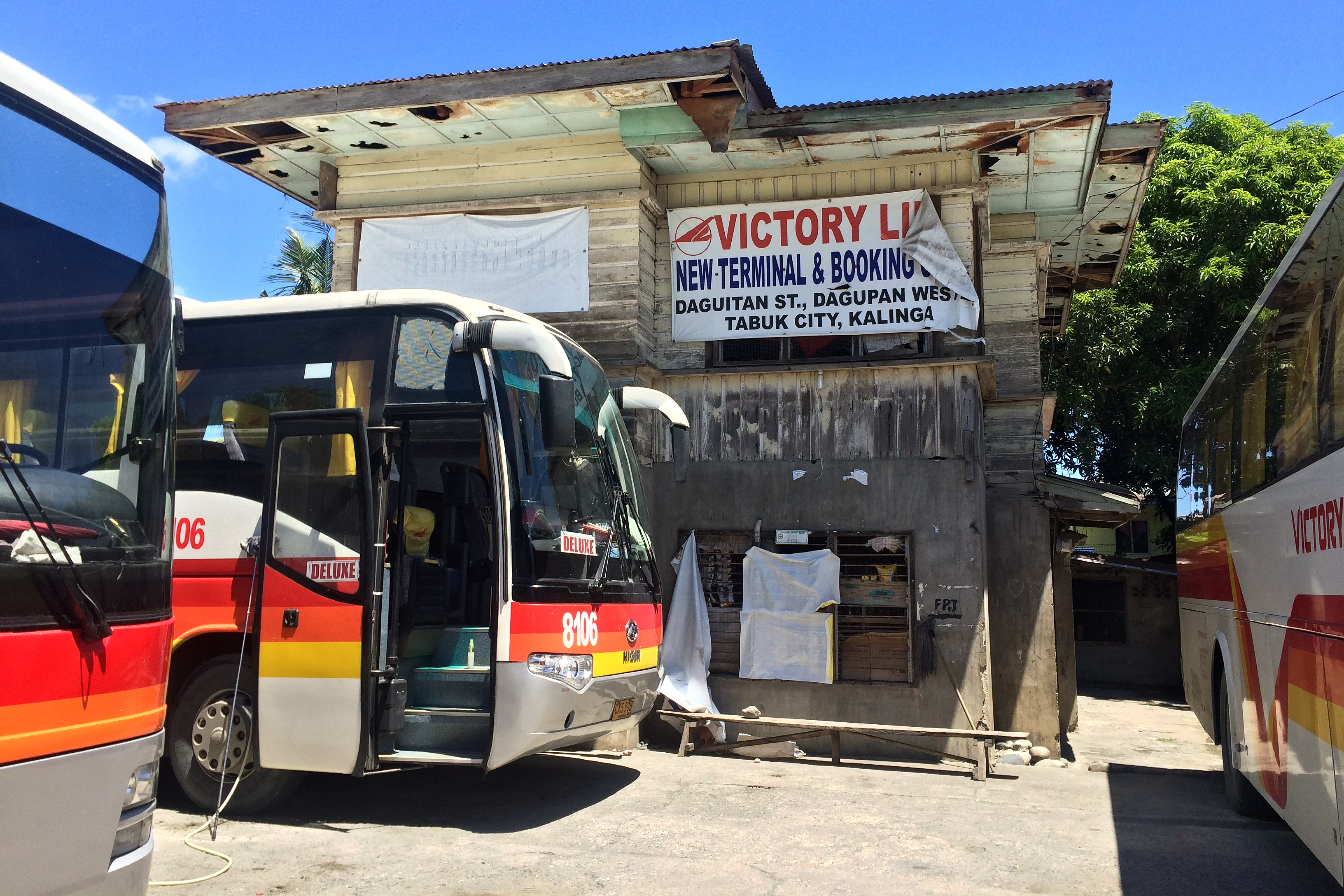
Victory Liner Tabuk City Terminal

FNT SORTIES in Kalinga with Cong Bambol Tolentino

St. Thomas Church, Tabuk, Kalinga. An Anglican church.
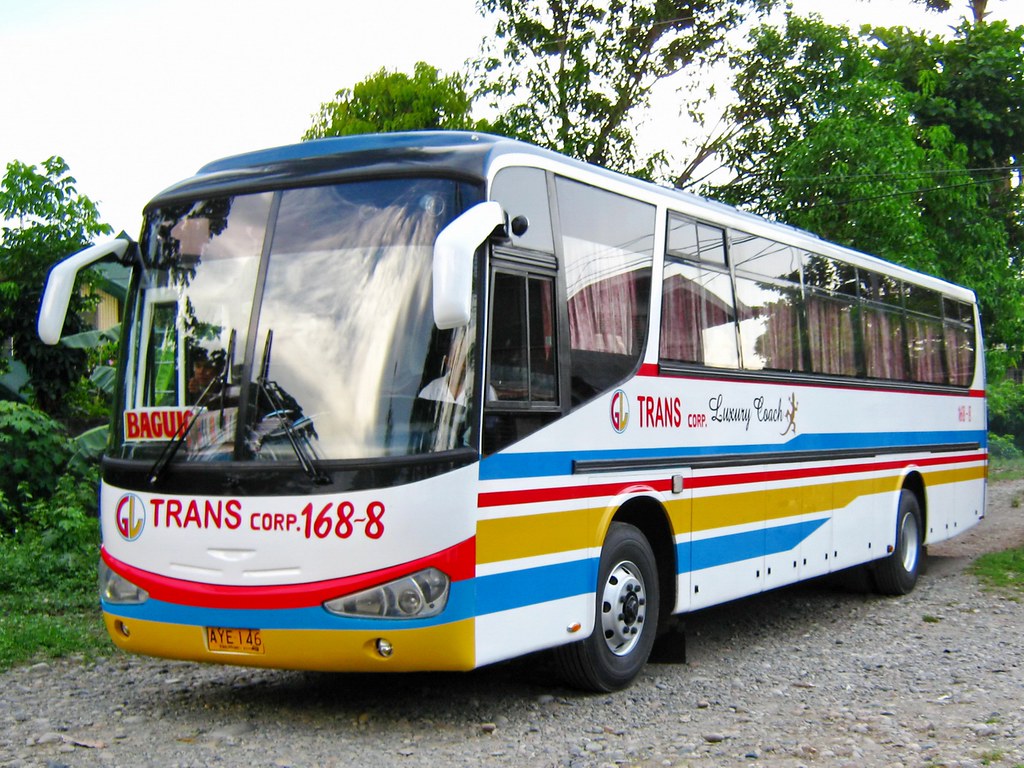
GL Trans
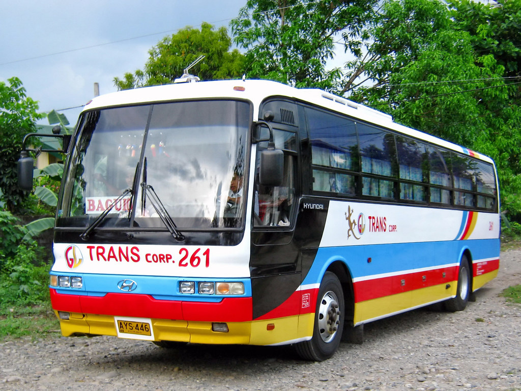
GL Trans

Victory Liner
Topographic Map of Allaguia, Pinukpuk, Kalinga, Philippines
Find elevation by address:

Places near Allaguia, Pinukpuk, Kalinga, Philippines:
Apatan
Bayao
Malaap Primary School
Dugpa
Taga (pob.)
Wagud
Pinukpuk Junction
Ba-ay
Guilayon
Pinukpuk
Taggay
Pinukpuk Elementary School
Allaguia Elementary School
Coddog Primary School
Katabbogan
Kalinga
Nambucayan
Aciga
Kalinga Apayao Provincial Cooperative Union Incorporated
Poswoy
Recent Searches:
- Elevation of Unnamed Road, Respublika Severnaya Osetiya — Alaniya, Russia
- Elevation of Verkhny Fiagdon, North Ossetia–Alania Republic, Russia
- Elevation of F. Viola Hiway, San Rafael, Bulacan, Philippines
- Elevation of Herbage Dr, Gulfport, MS, USA
- Elevation of Lilac Cir, Haldimand, ON N3W 2G9, Canada
- Elevation of Harrod Branch Road, Harrod Branch Rd, Kentucky, USA
- Elevation of Wyndham Grand Barbados Sam Lords Castle All Inclusive Resort, End of Belair Road, Long Bay, Bridgetown Barbados
- Elevation of Iga Trl, Maggie Valley, NC, USA
- Elevation of N Co Rd 31D, Loveland, CO, USA
- Elevation of Lindever Ln, Palmetto, FL, USA