Elevation of Algerie Rd, Otis, MA, USA
Location: United States > Massachusetts > Berkshire County > Otis >
Longitude: -73.028953
Latitude: 42.2162349
Elevation: 474m / 1555feet
Barometric Pressure: 96KPa
Elevation Map:
Satellite Map:
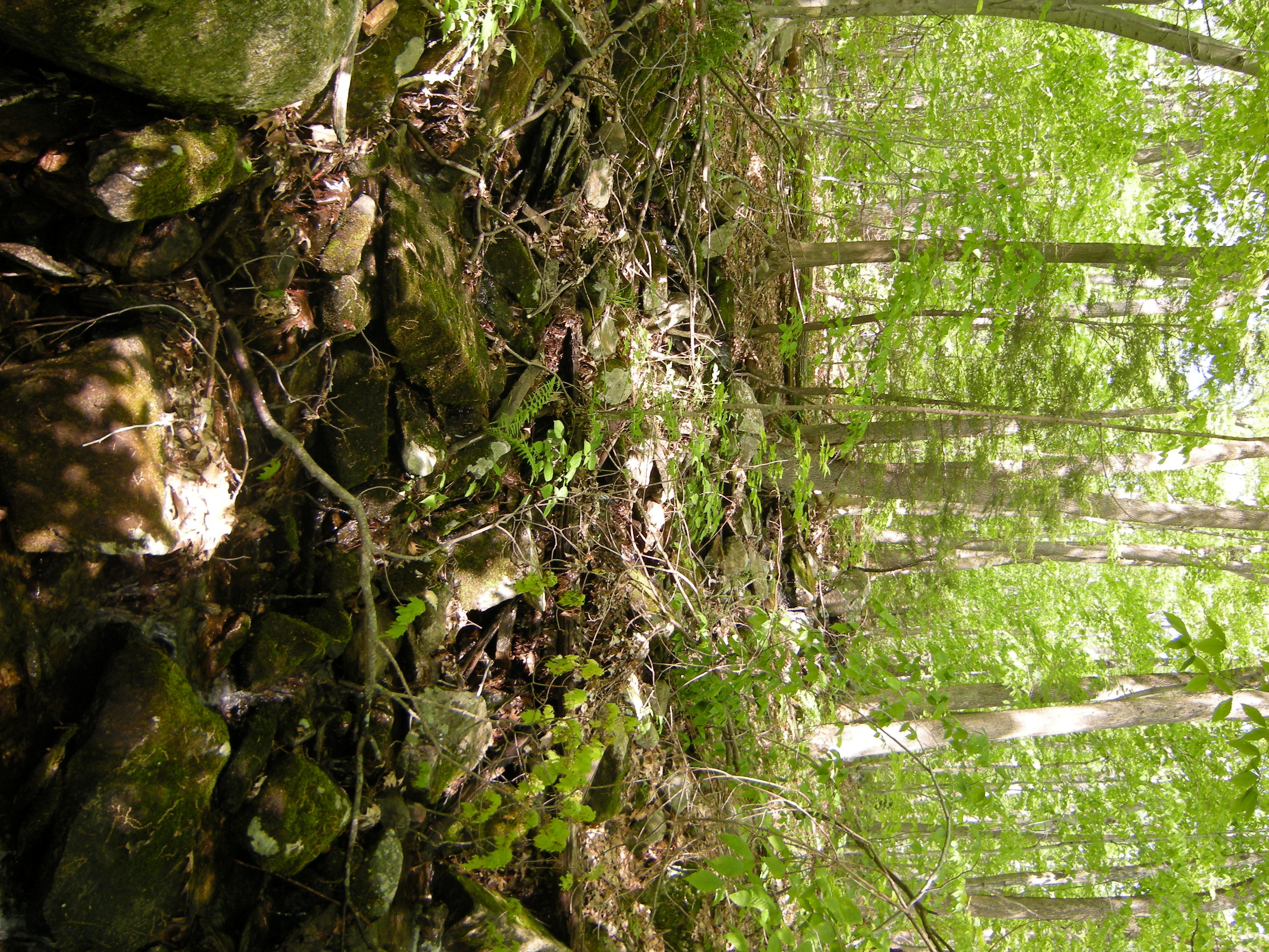
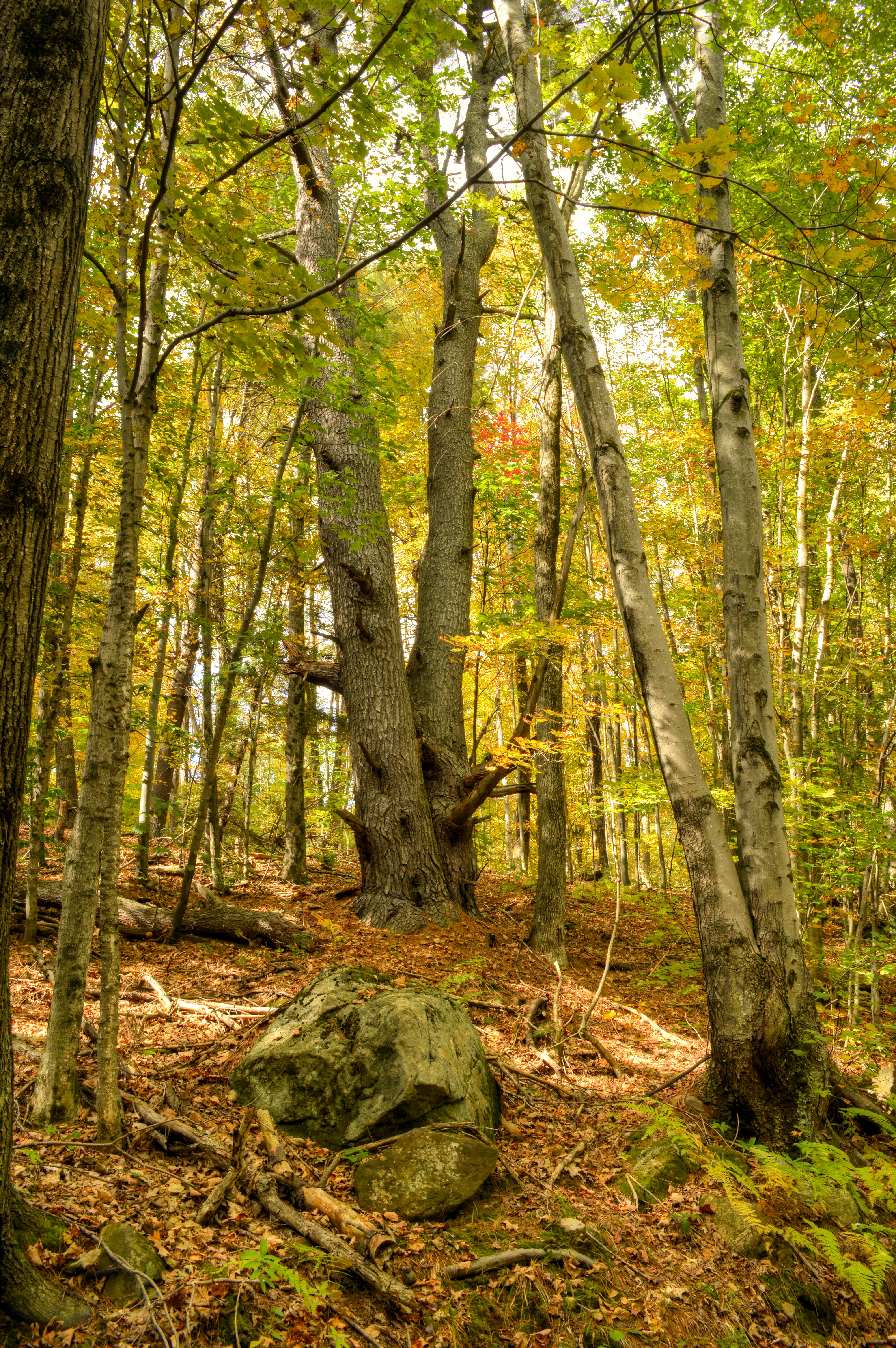
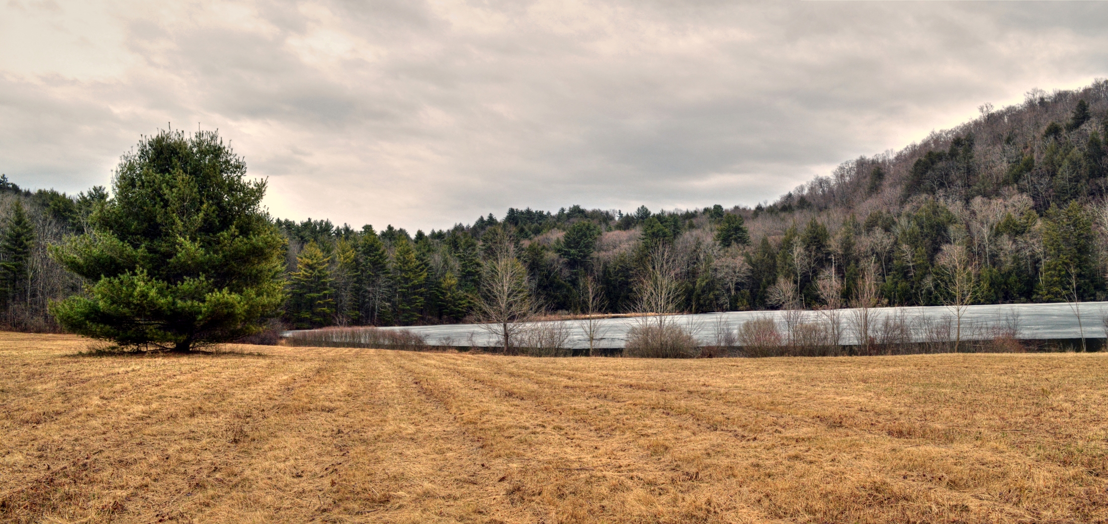
Related Photos:
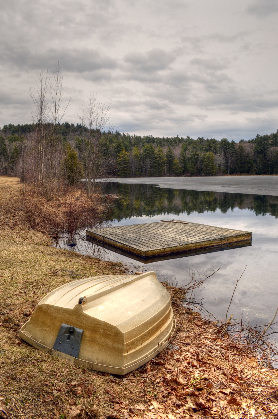
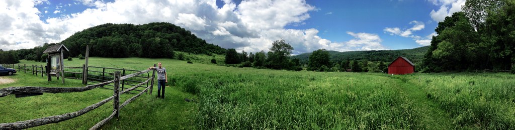
Steadman Pond in Early Spring
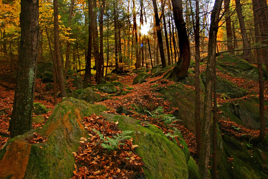
Climb toward the Sun
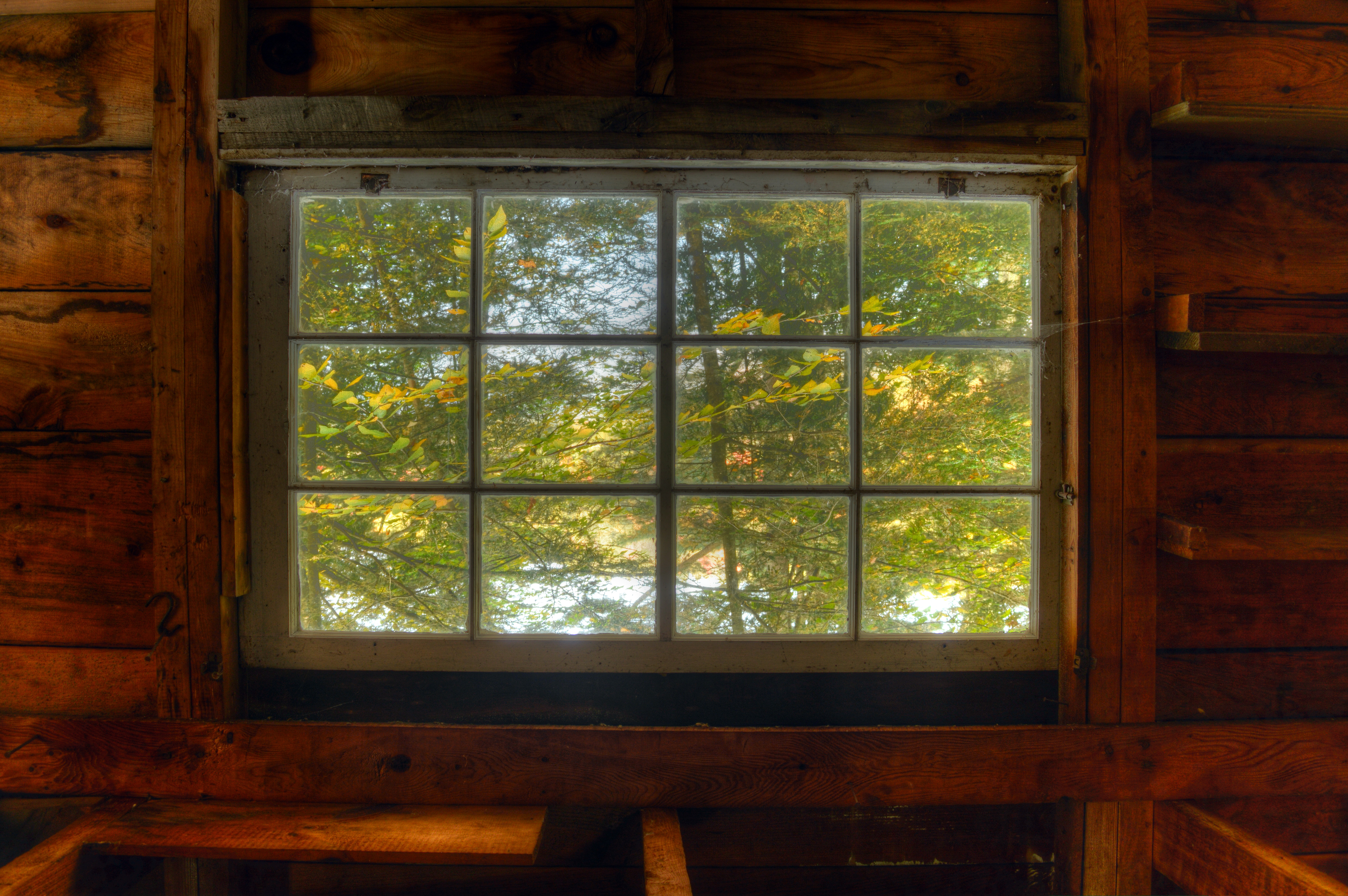
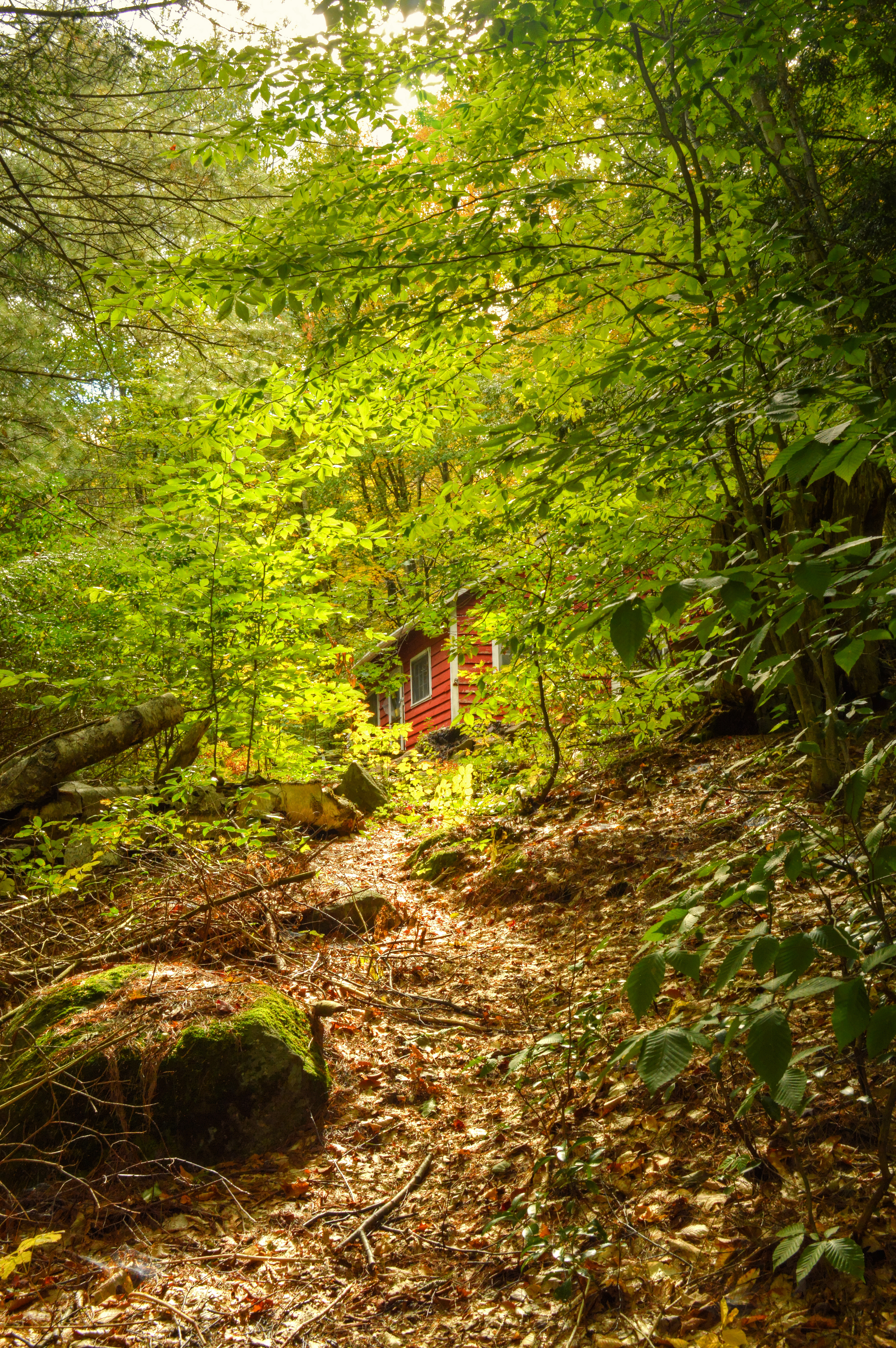
Camp Window in Autumn
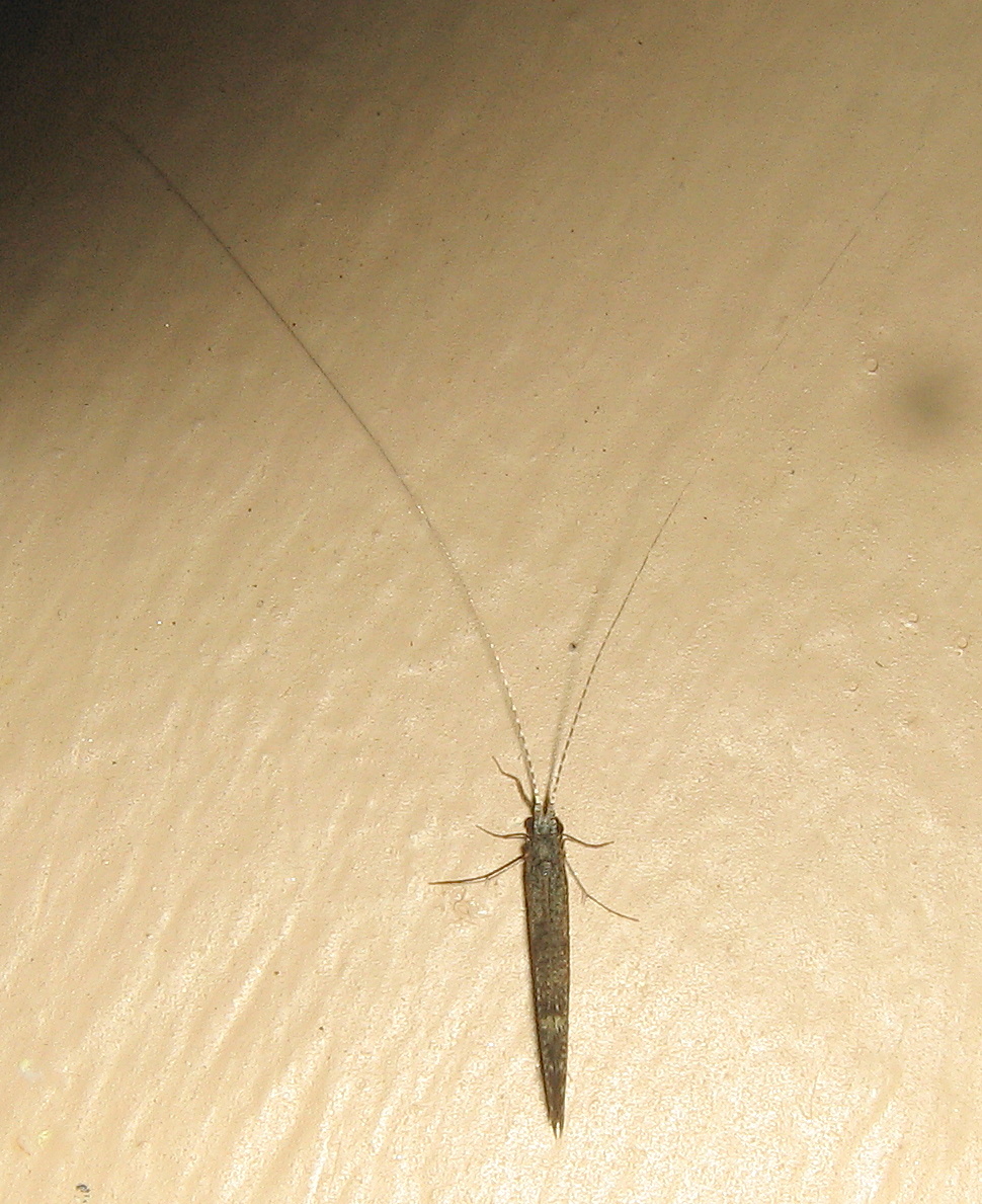
Caddisfly, Leptocerus americanus
Woodland Pool

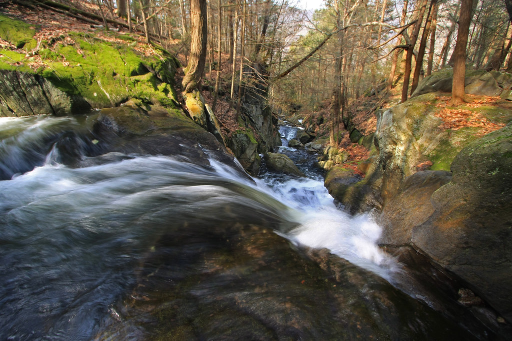
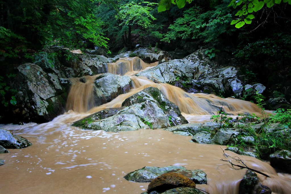
Spring Runoff
The Point of No Return
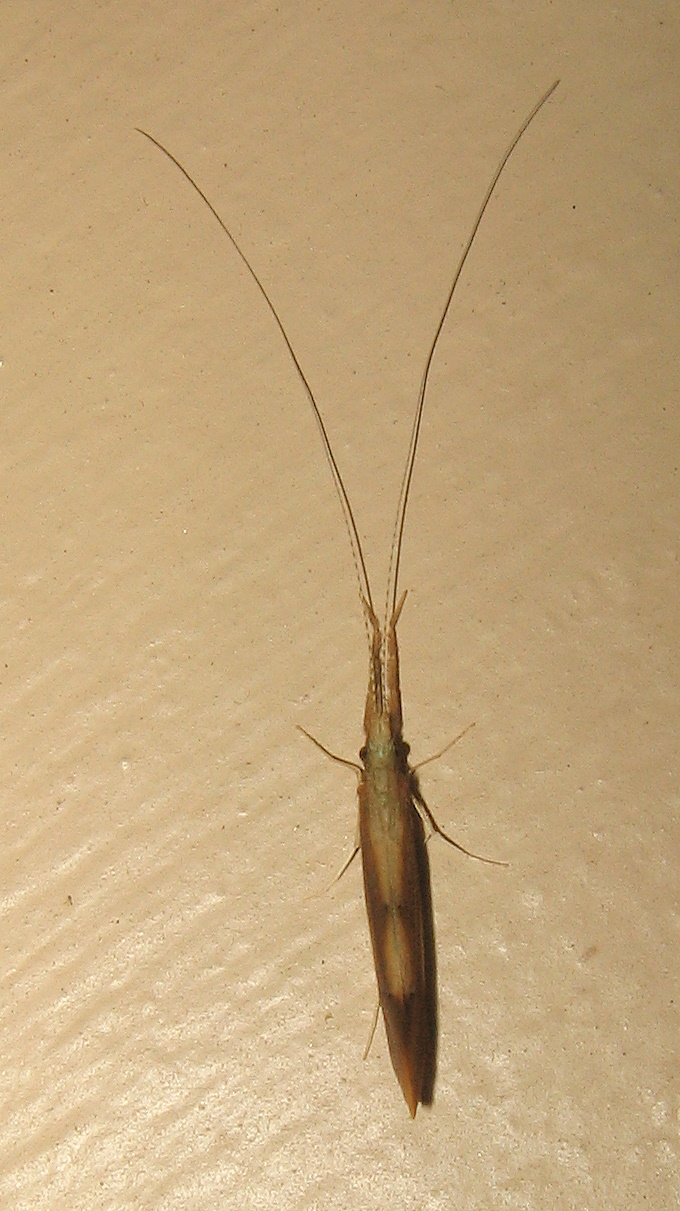
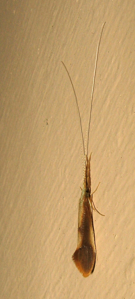
Large caddisfly (Triaenodes?)
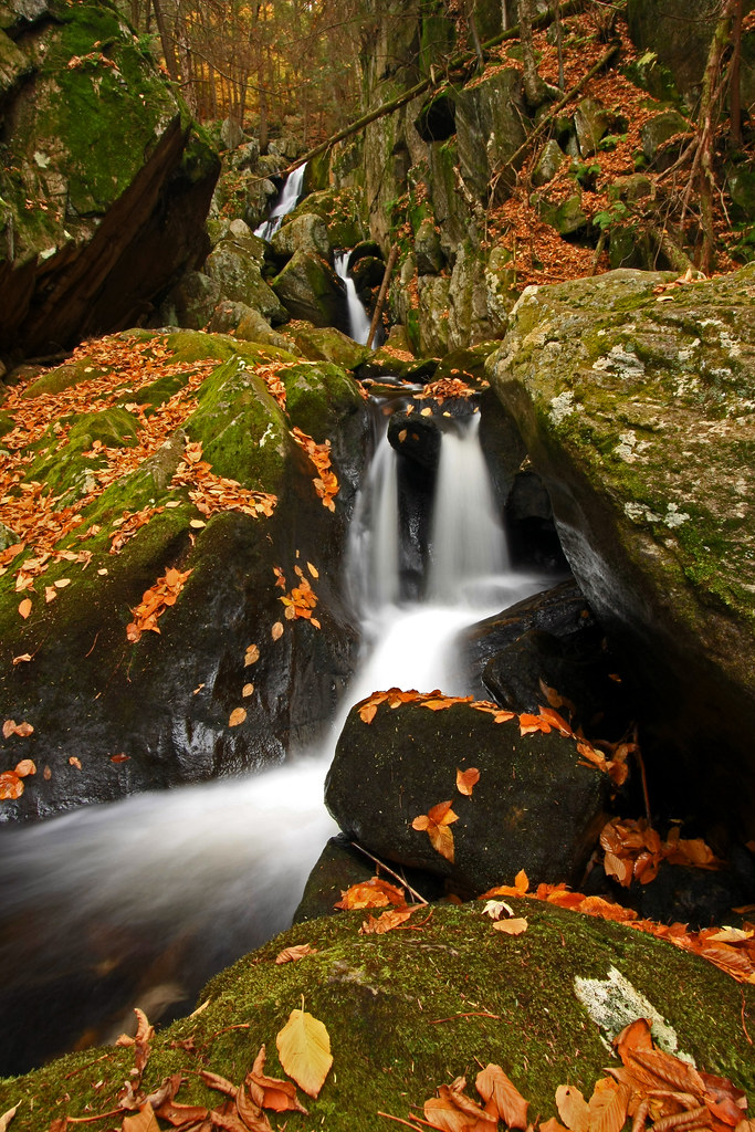
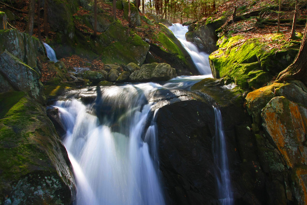
Tumble, Tumble
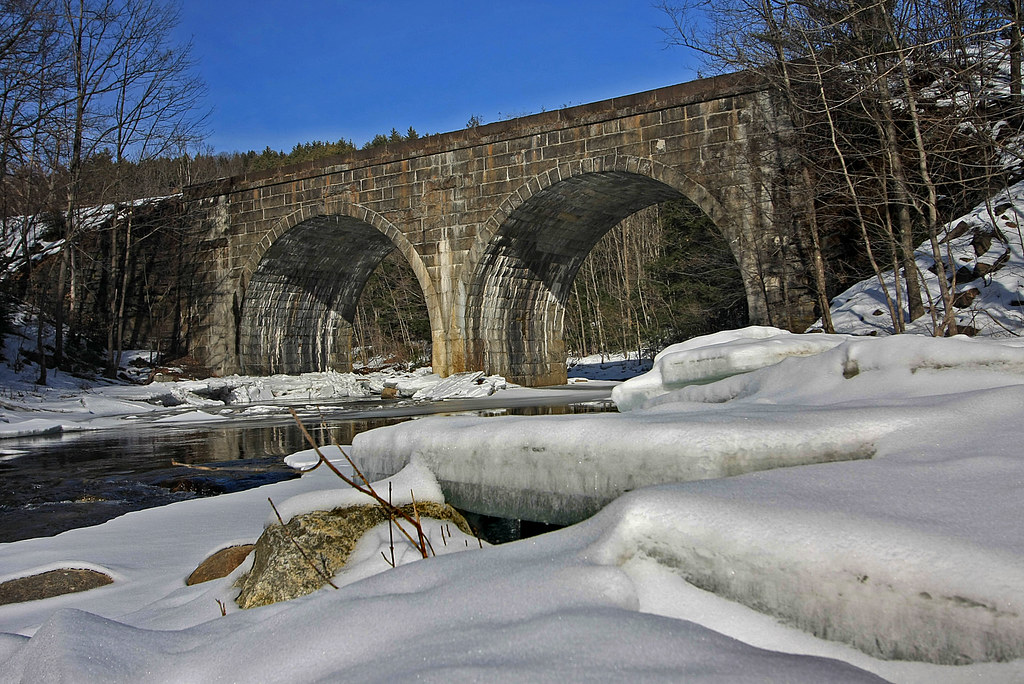
Double Arch
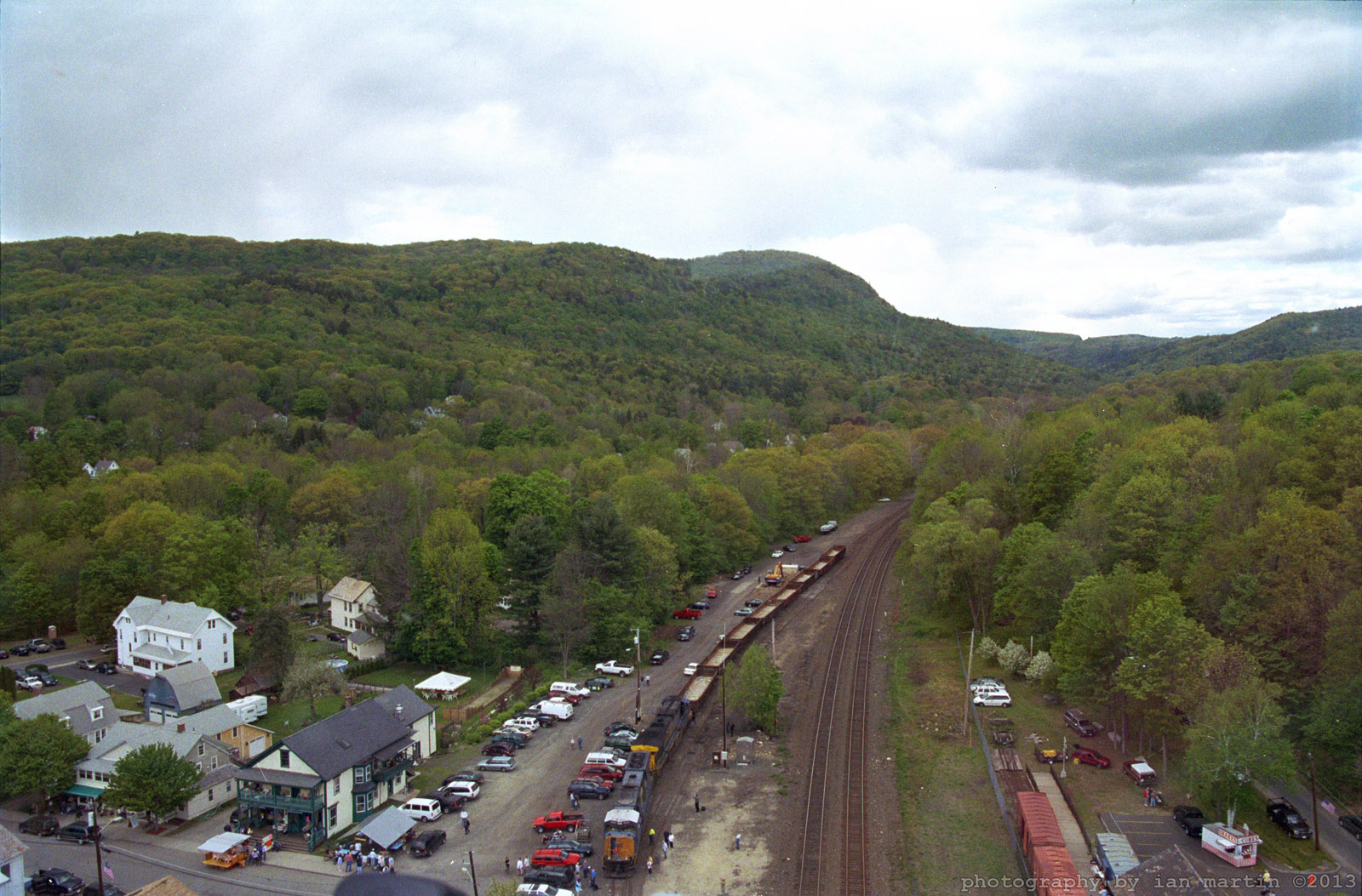
Aerial View
Chocolate Milk, Anyone?

Zig Zag

Crystal Waters
Large caddisfly (Triaenodes?)
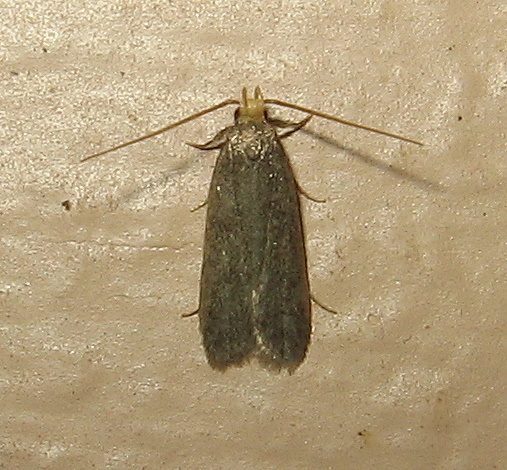
114x Glyphidocera cf. lithodoxa
A Touch of Green
Tinge of Red
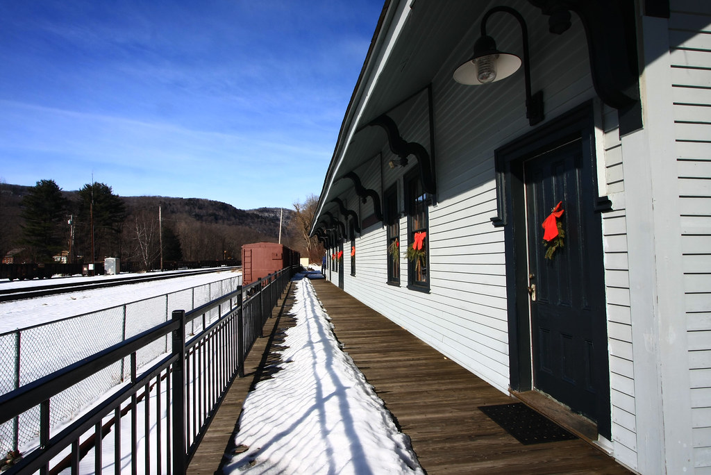
Chester Railway Station
Elevated View
View looking downhill

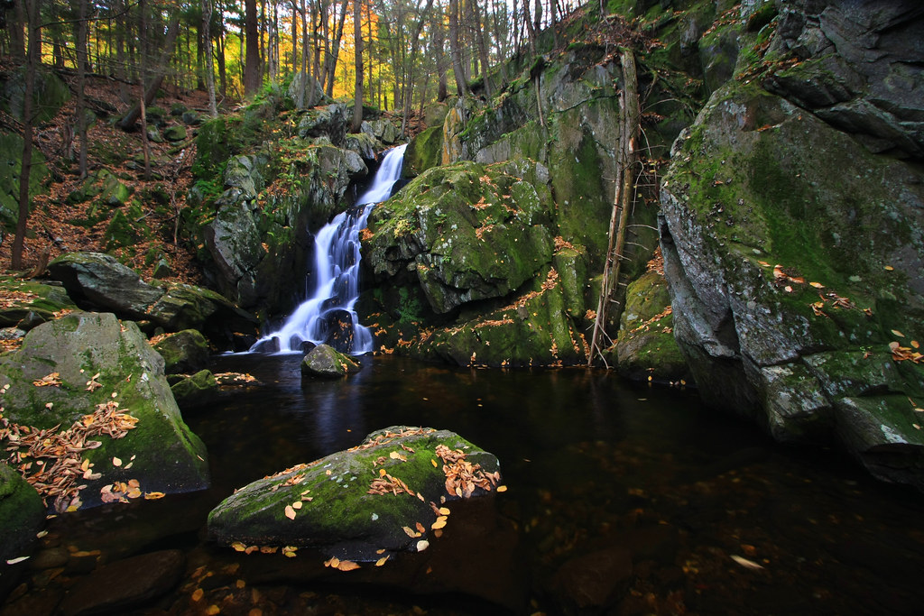
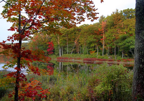
Autumn at Steadman Pond
WB_22A #2 IMG_20180531_105902

Shaw Pond #Massachusetts #ontheroad #skysnappers #skyporn #cloudporn #clouds #waterscapes #htcevo4glte #htc #weatherchannel #thisisnow
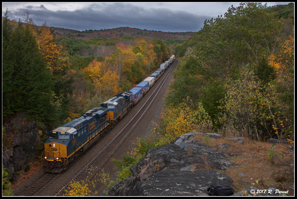
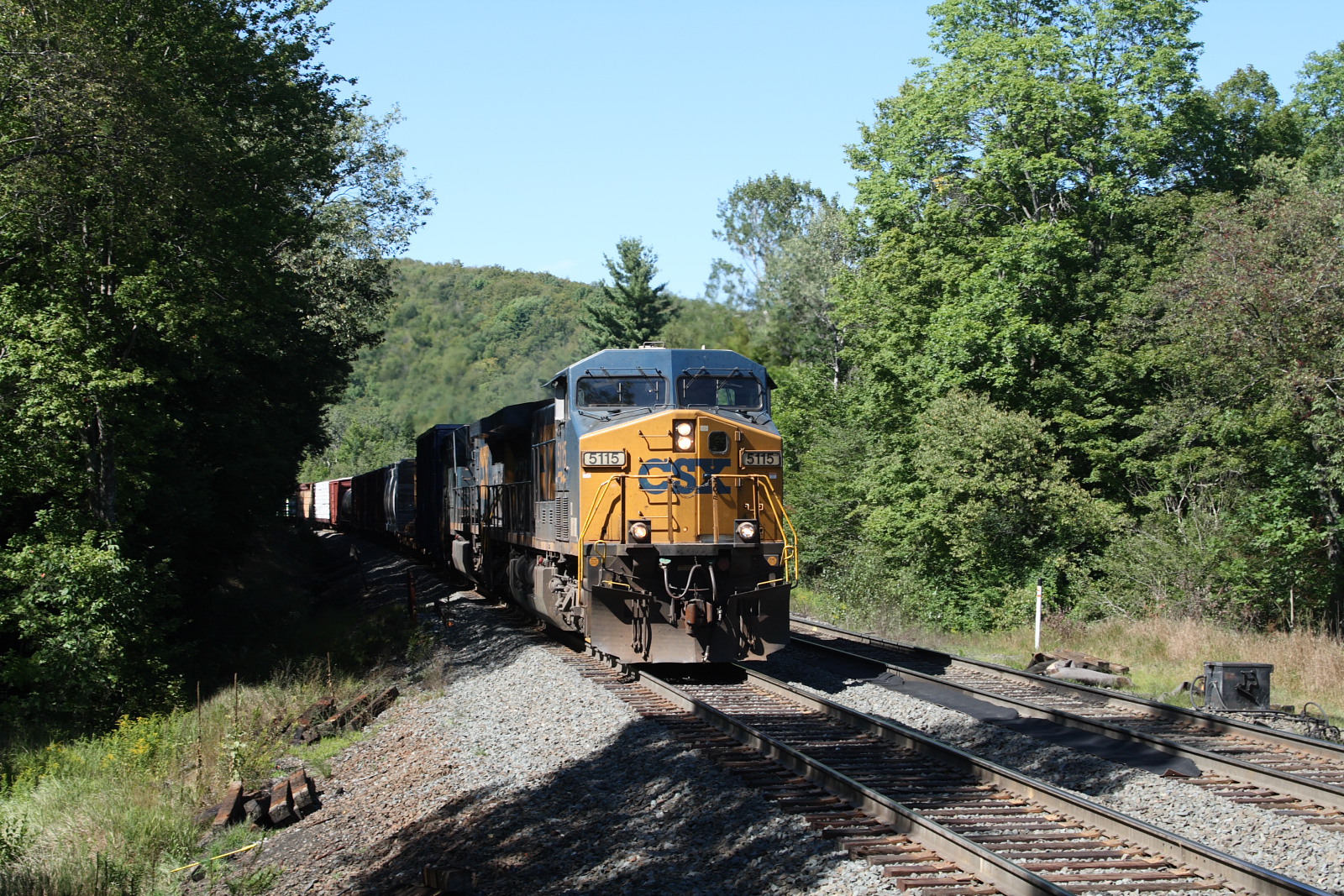
Q012 at Middlefield, MA
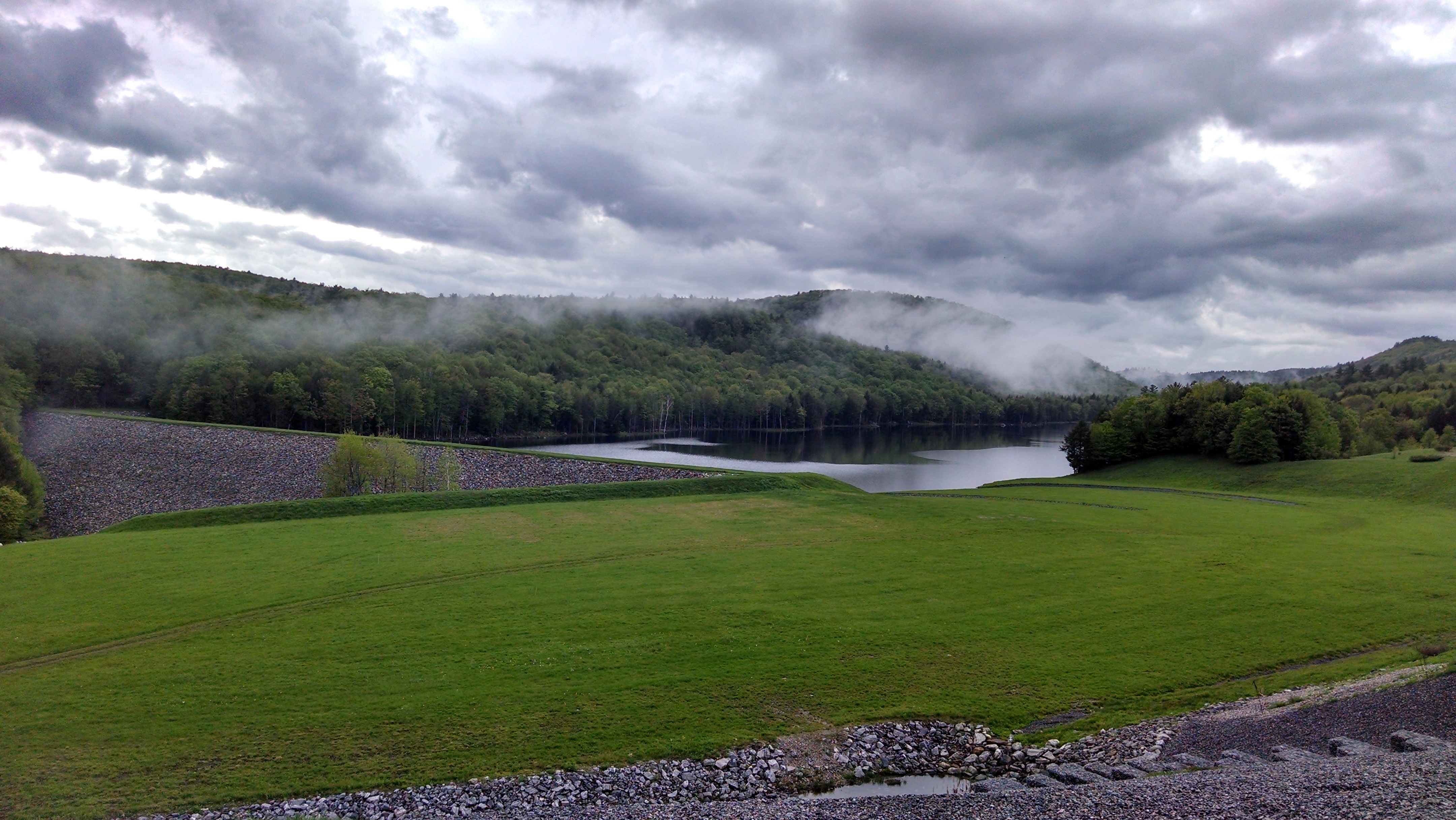
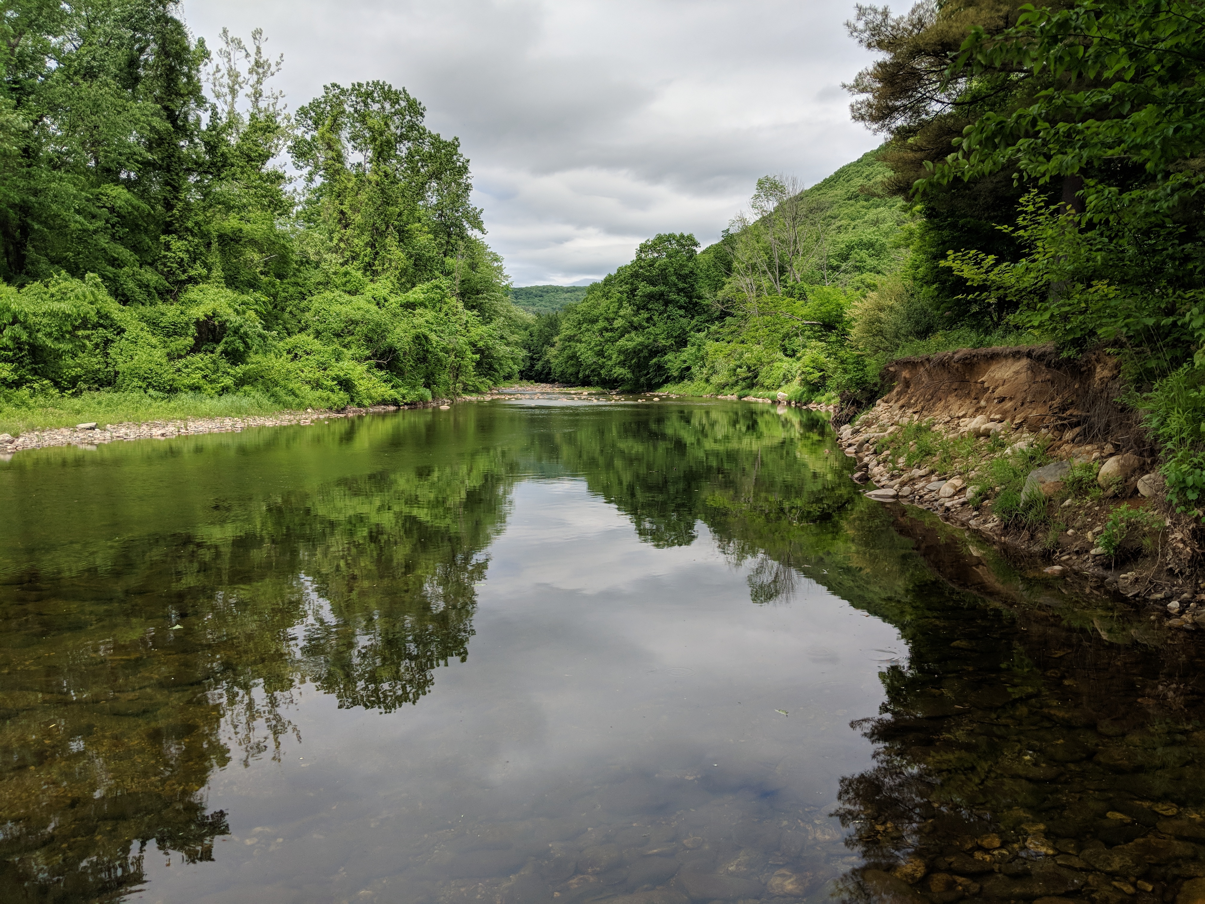
Clam River Reservoir
Dismal Bay

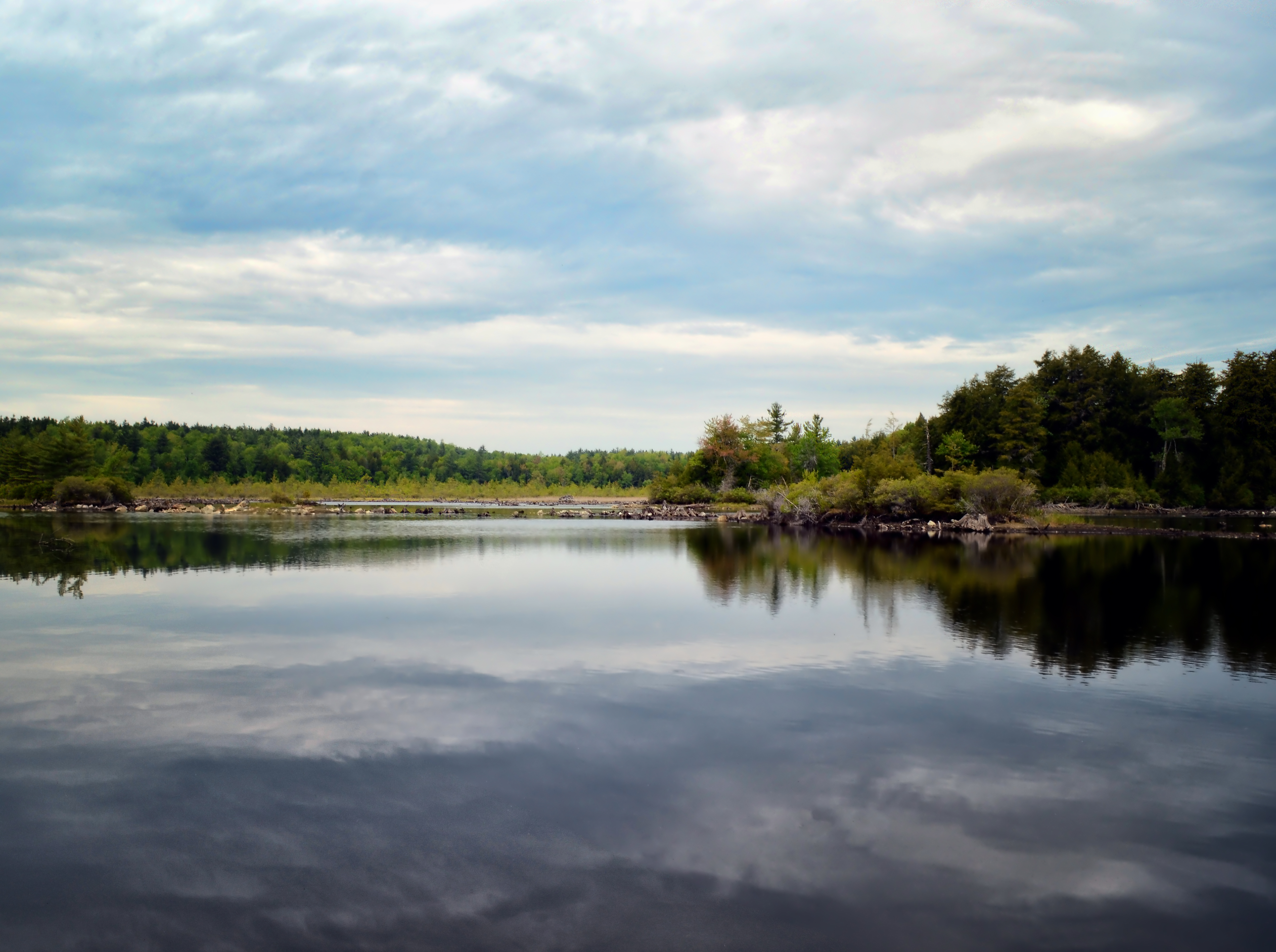
Lake.

Shaw Pond-1
Trail To the Second Cabin

Trail To Second Cottage
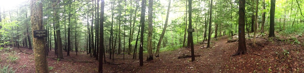
Intersection of Cobble Trail and Appalachian Trail
Tyringham Cobble with Nathan Householder

Quarries Aura
WB_25 #6 IMG_20180711_131425
country road
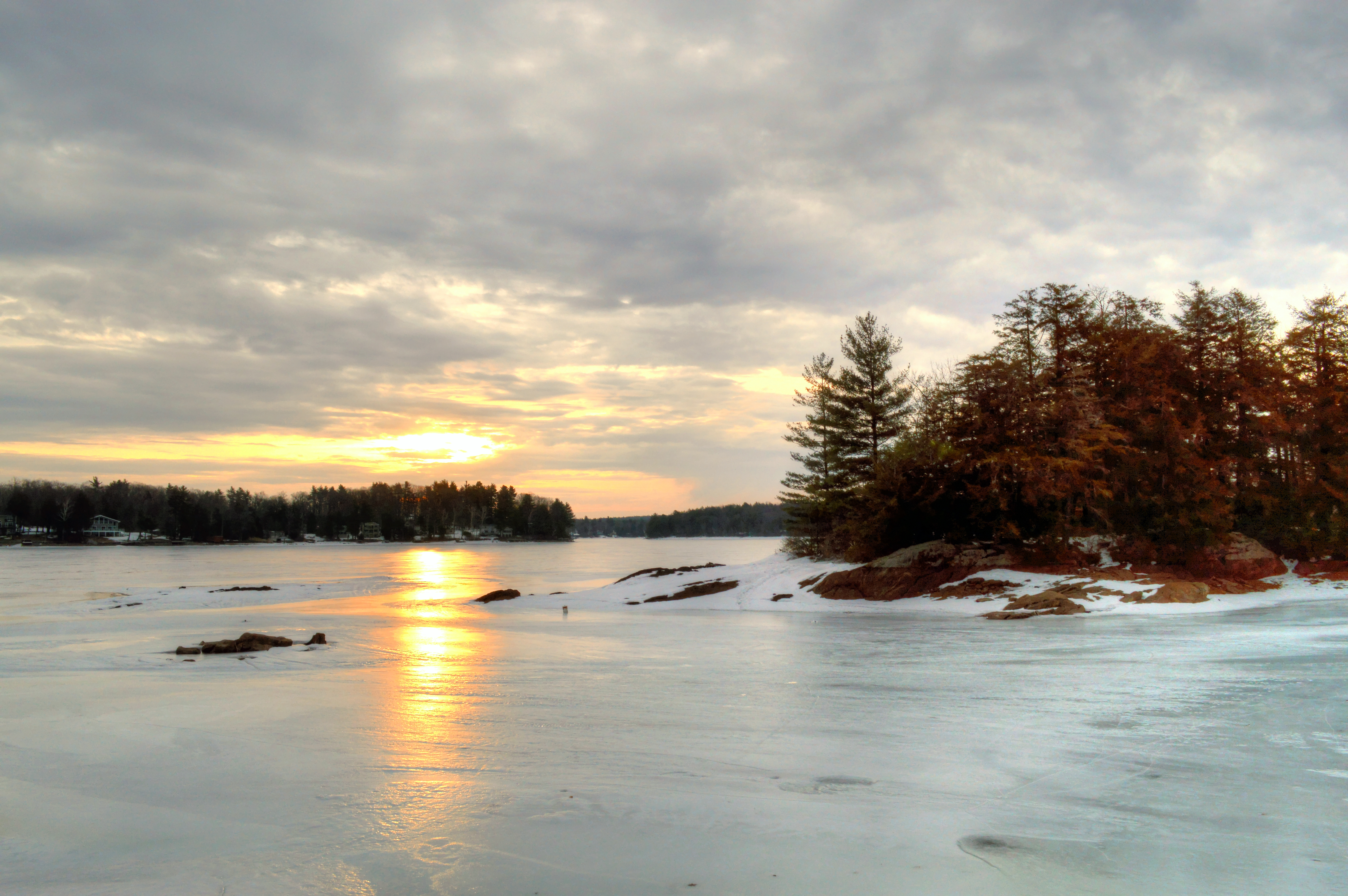
Otis Reservoir Sunset No. 2
8_12 160
Spec Pond Trail
Steadman Pond, Monterey Mass. - Panoramic

Larkum Pond 6 am
Topographic Map of Algerie Rd, Otis, MA, USA
Find elevation by address:

Places near Algerie Rd, Otis, MA, USA:
1908 Algerie Rd
1908 Algerie Rd
Algerie Road
Big Pond
3 N Blandford Rd, Blandford, MA, USA
275 Winter Dr
Becket Quarry
153 Sir Walter Ct
351 Bonny Rigg Hill Rd
15 Sir Walter Rd
Sherwood Drive
172 Blandford Rd
Sherwood Forest
522 Johnson Rd
125 Chester Rd
Horn Pond
384 N Main Rd
Otis
Old Abbey Lane West
38 Long Bow Ln
Recent Searches:
- Elevation of Rojo Ct, Atascadero, CA, USA
- Elevation of Flagstaff Drive, Flagstaff Dr, North Carolina, USA
- Elevation of Avery Ln, Lakeland, FL, USA
- Elevation of Woolwine, VA, USA
- Elevation of Lumagwas Diversified Farmers Multi-Purpose Cooperative, Lumagwas, Adtuyon, RV32+MH7, Pangantucan, Bukidnon, Philippines
- Elevation of Homestead Ridge, New Braunfels, TX, USA
- Elevation of Orchard Road, Orchard Rd, Marlborough, NY, USA
- Elevation of 12 Hutchinson Woods Dr, Fletcher, NC, USA
- Elevation of Holloway Ave, San Francisco, CA, USA
- Elevation of Norfolk, NY, USA