Elevation of Alder Dr, Santa Clarita, CA, USA
Location: United States > California > Los Angeles County > Santa Clarita > Newhall >
Longitude: -118.51148
Latitude: 34.3737555
Elevation: 427m / 1401feet
Barometric Pressure: 96KPa
Elevation Map:
Satellite Map:
Related Photos:

San Diego, CA Monochrome

San Diego, CA Monochrome
Lifestyles | Northridge, CA | Palisades Park View
There's so much to know

San Diego, CA Monochrome

That Obdurate Morning
iPhone Hiking

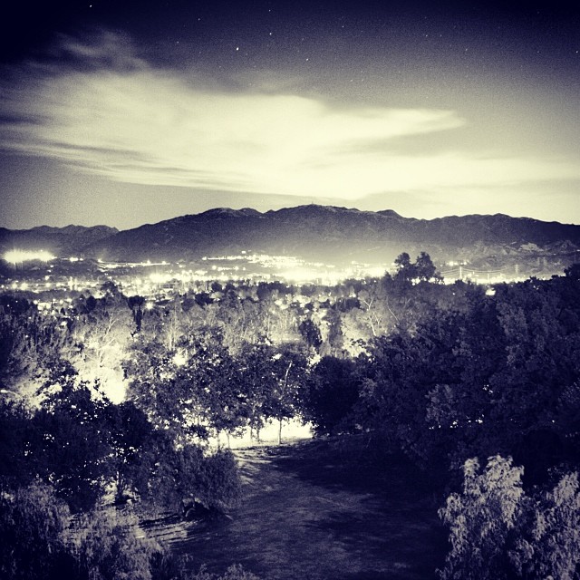
Down Town L. A. From Oat Mountain
Tapia Canyon Bike Park

Upper Placerita Canyon
iPhone Hiking I
Today's office.

1ST RAIN IN 6 MONTHS (EXPLORE 2014 Nov 7)
DAY 170

Haskell Canyon Open Space Sunrise

Reminds me of a Bodhi tree. (I know it's an Oak tree)
Tapia Canyon Bike Park

Pedalfest Race, 8/16/2018

Hike Santa Clarita

Pedalfest Race, 8/16/2018
"...And I have learned to live, as it were, with the idea that I will never find peace and happiness, either. But as long as I know there's a pretty good chance I can get my hands on either one of them every once in a while, I do the best I can between hi
Topographic Map of Alder Dr, Santa Clarita, CA, USA
Find elevation by address:

Places near Alder Dr, Santa Clarita, CA, USA:
21340 Alder Dr
Placerita Canyon Rd, Santa Clarita, CA, USA
Pine St, Santa Clarita, CA, USA
Meadview Avenue
Pine St, Santa Clarita, CA, USA
23240 Haskell Vista Ln
24856 Newhall Ave
Newhall
24825 Newhall Ave
23030 16th St
20970 Centre Pointe Pkwy
24842 Parchman Ave
Santa Clarita
23602 Vía Andorra
25025 Green Mill Ave
Walmart Supercenter
25509 Vía Dona Christa
25139 Atwood Blvd
20031 Egret Pl
Golden Valley Road
Recent Searches:
- Elevation of Elwyn Dr, Roanoke Rapids, NC, USA
- Elevation of Congressional Dr, Stevensville, MD, USA
- Elevation of Bellview Rd, McLean, VA, USA
- Elevation of Stage Island Rd, Chatham, MA, USA
- Elevation of Shibuya Scramble Crossing, 21 Udagawacho, Shibuya City, Tokyo -, Japan
- Elevation of Jadagoniai, Kaunas District Municipality, Lithuania
- Elevation of Pagonija rock, Kranto 7-oji g. 8"N, Kaunas, Lithuania
- Elevation of Co Rd 87, Jamestown, CO, USA
- Elevation of Tenjo, Cundinamarca, Colombia
- Elevation of Côte-des-Neiges, Montreal, QC H4A 3J6, Canada