Elevation of Alberni-Clayoquot D, BC, Canada
Location: Canada > British Columbia > Alberni-clayoquot >
Longitude: -125.11828
Latitude: 49.3019756
Elevation: 761m / 2497feet
Barometric Pressure: 93KPa
Elevation Map:
Satellite Map:
Related Photos:
fog on the flats

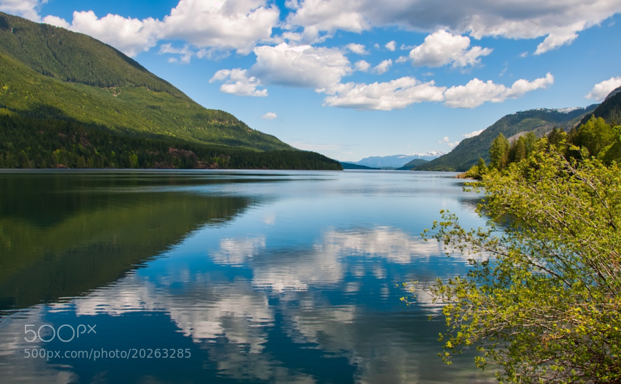
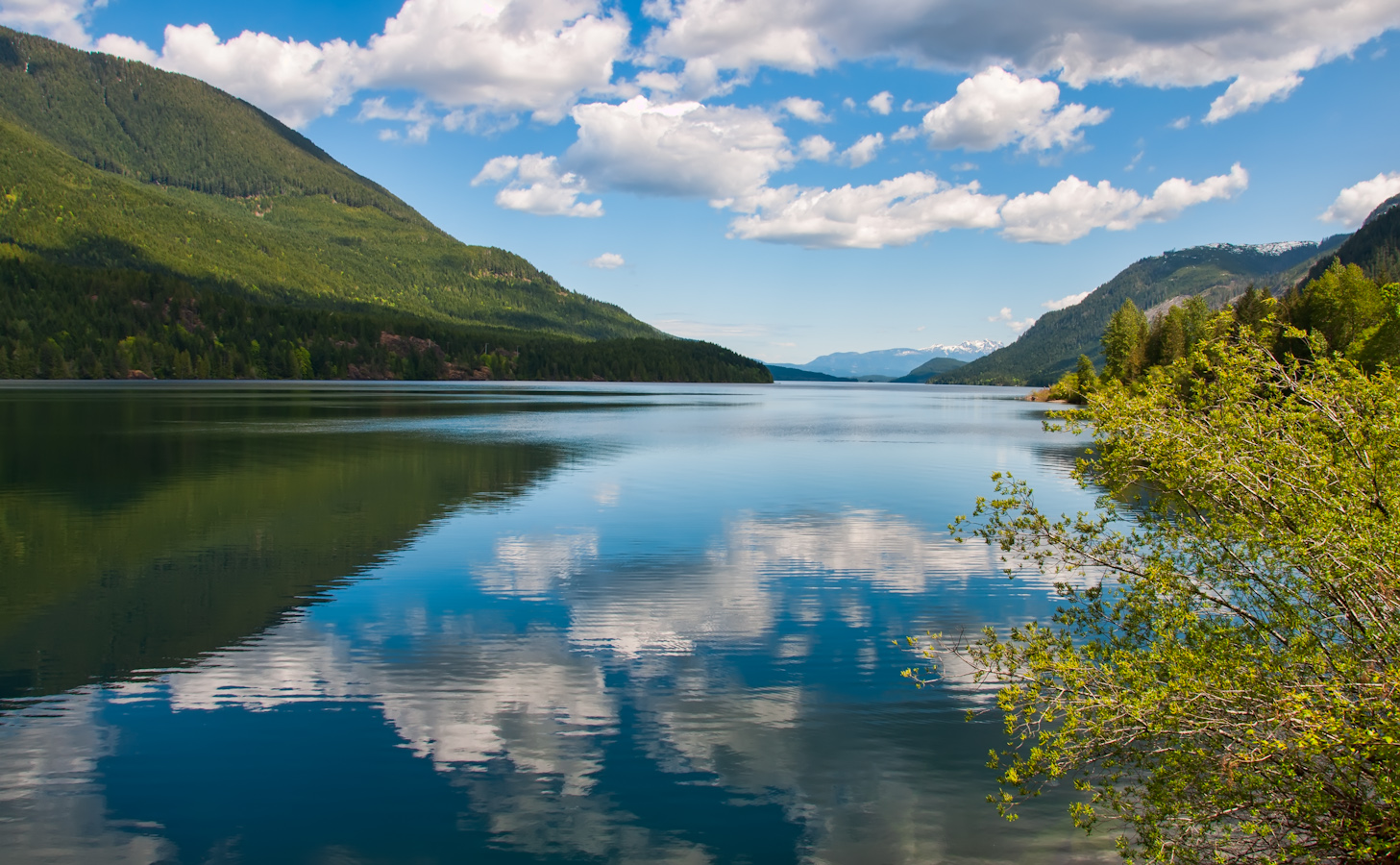
Sproat Lake Sunset

Hiking weekend to see Della Falls, Canada's tallest waterfall
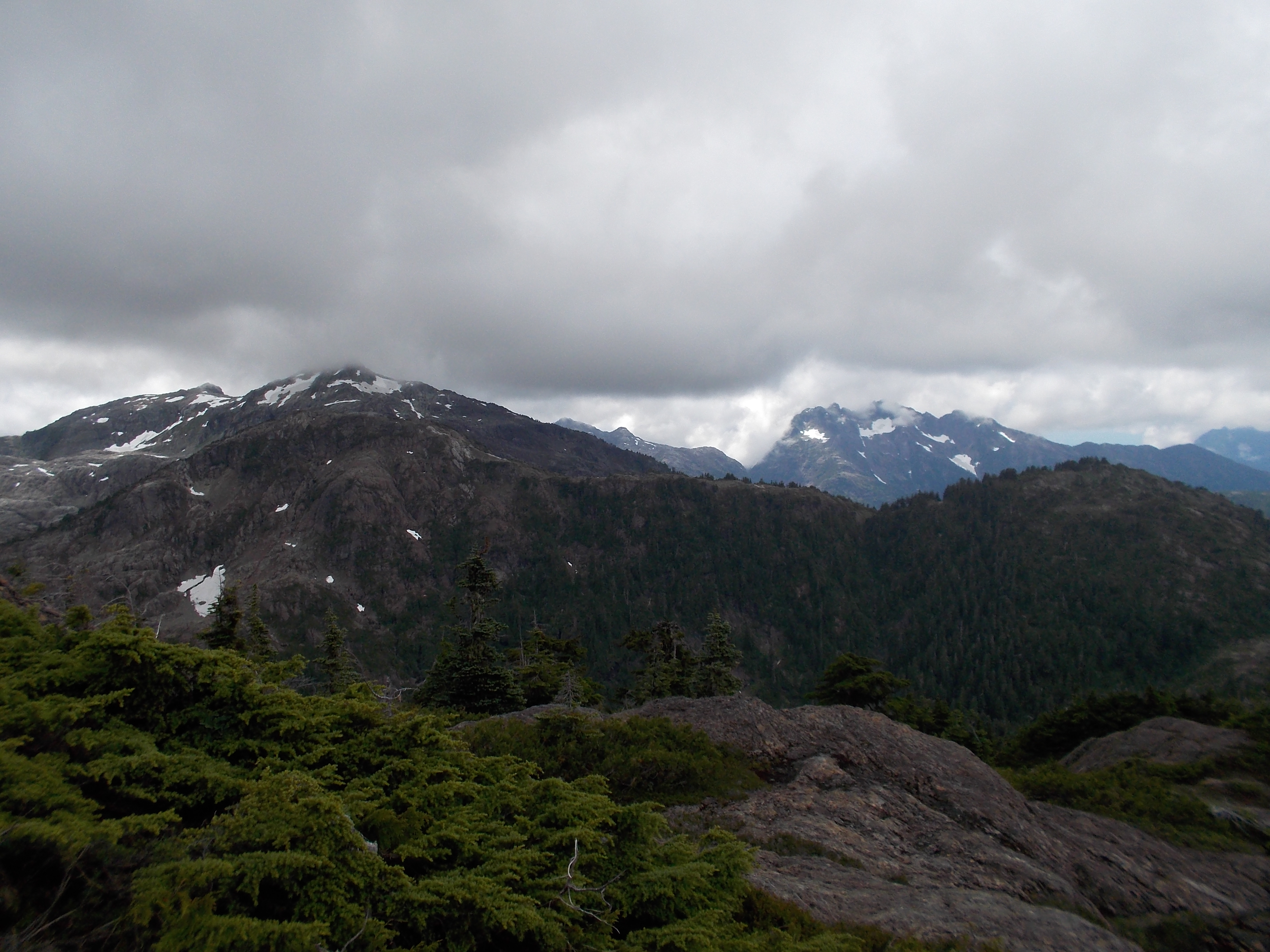
View from the Ridge

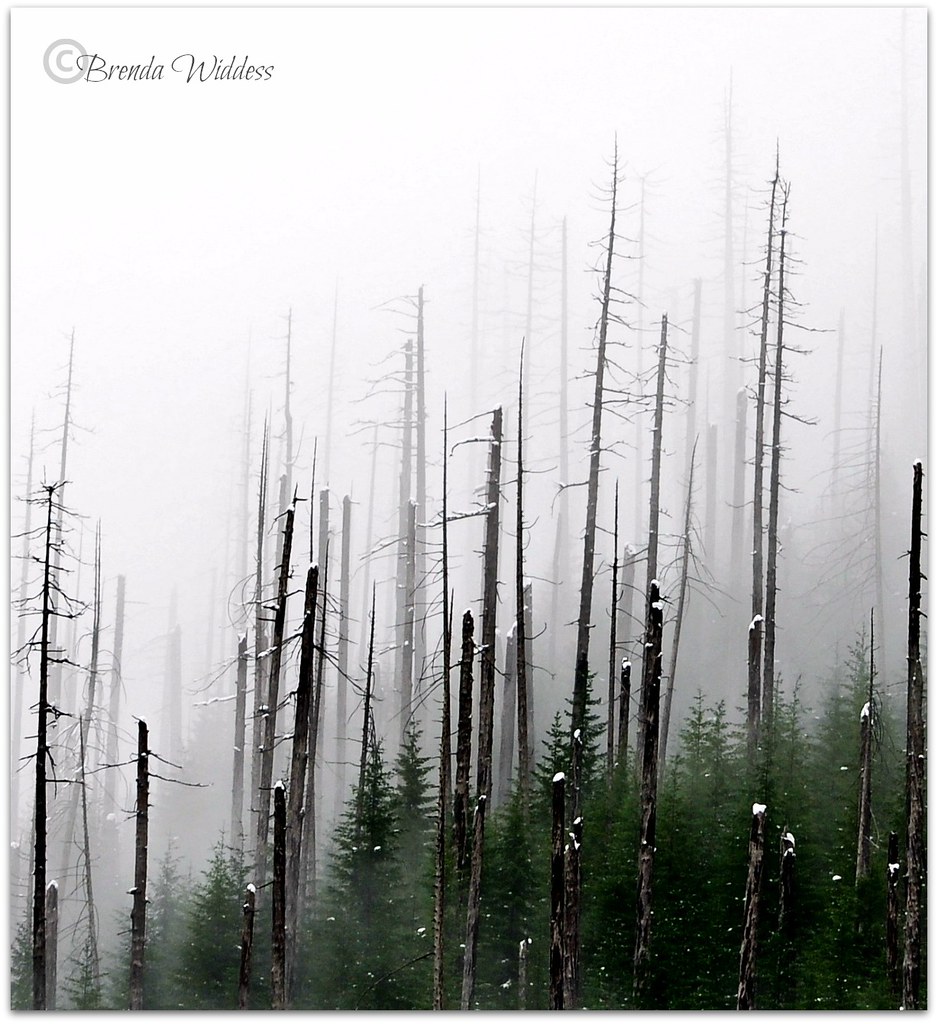
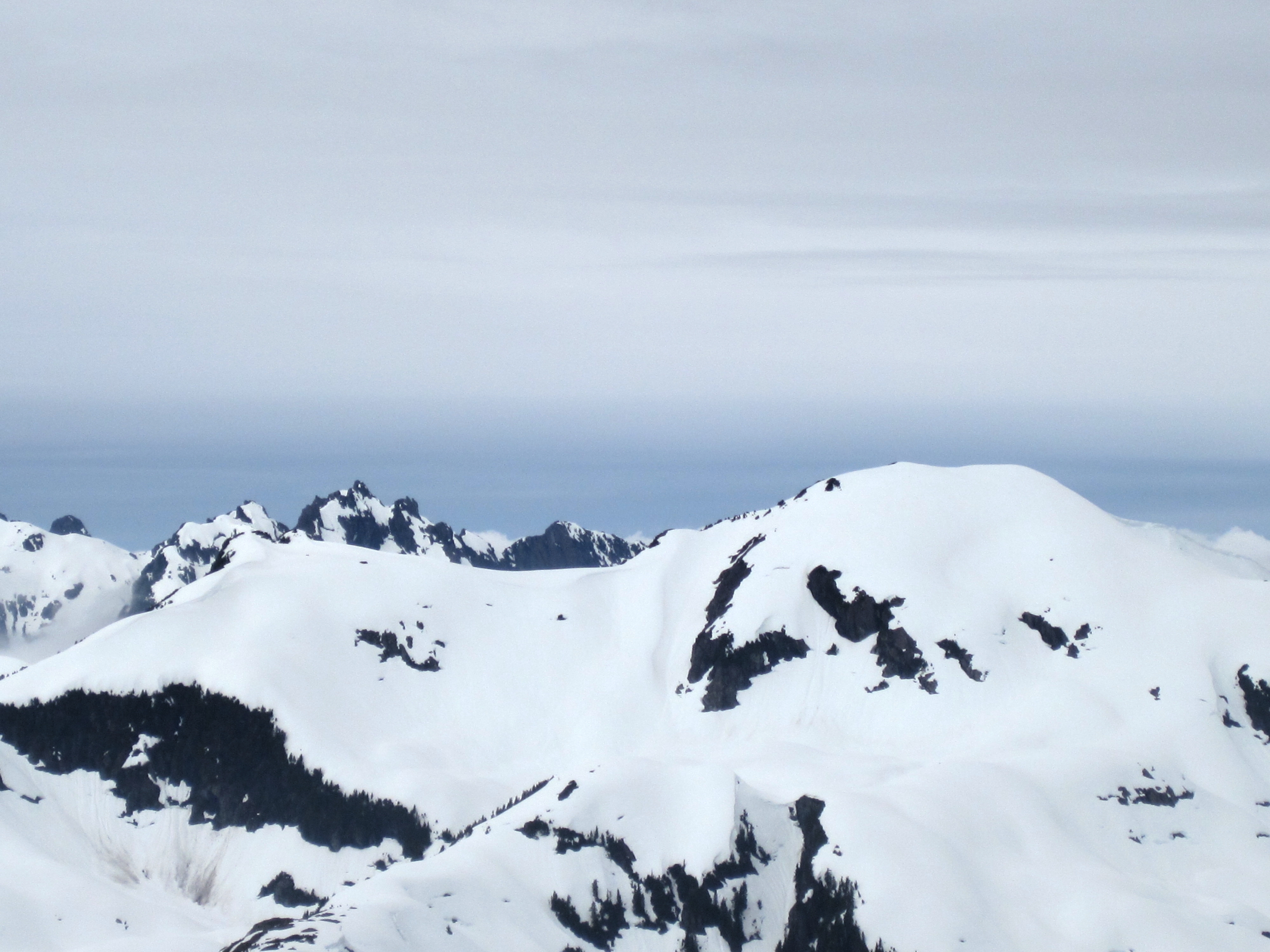
winter white

Weekend view.
Logging Road View

Hawaii Mars - EXPLORE

fishing buddies
Logging Road View

Driftwood (view 3)
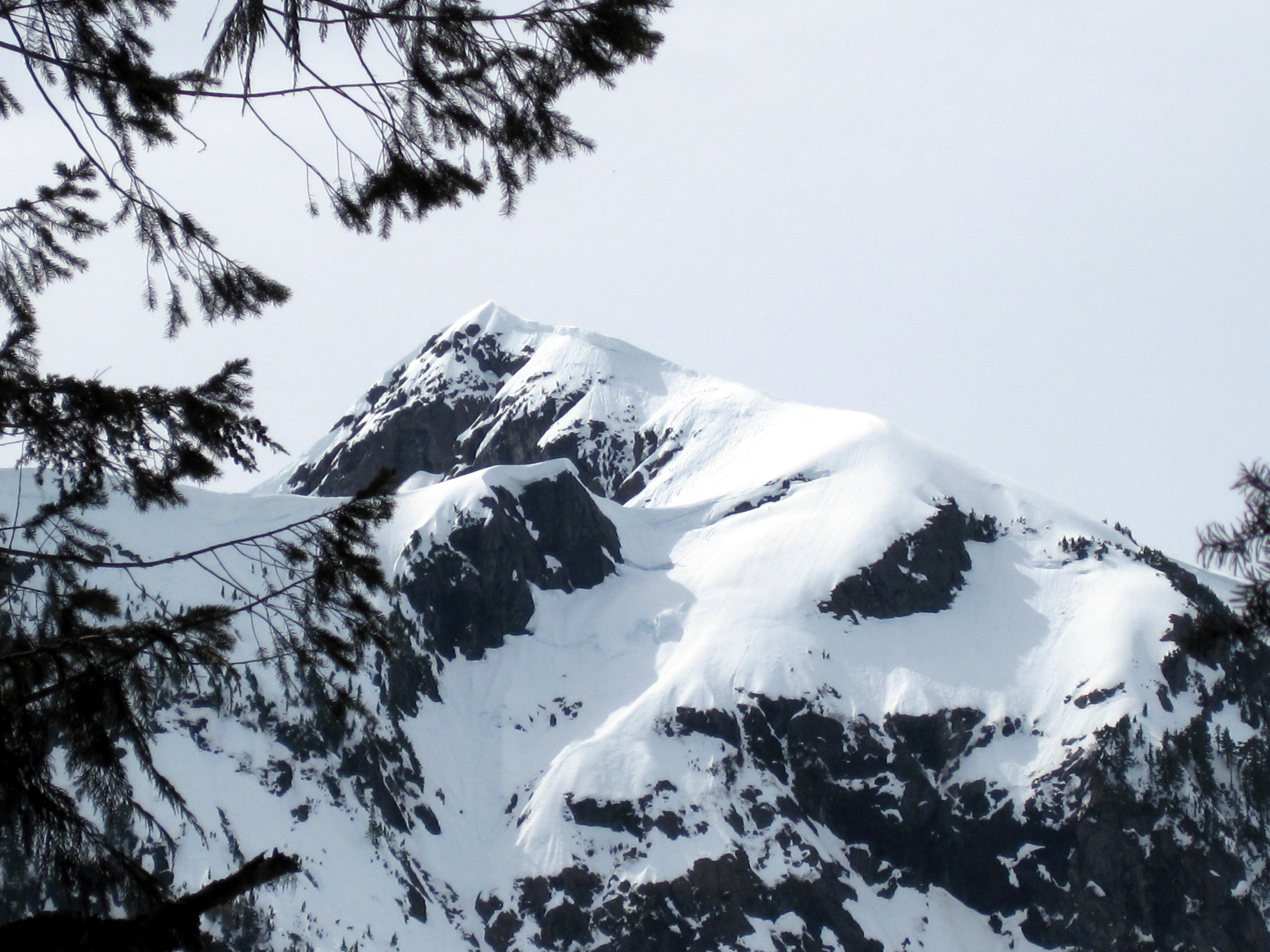
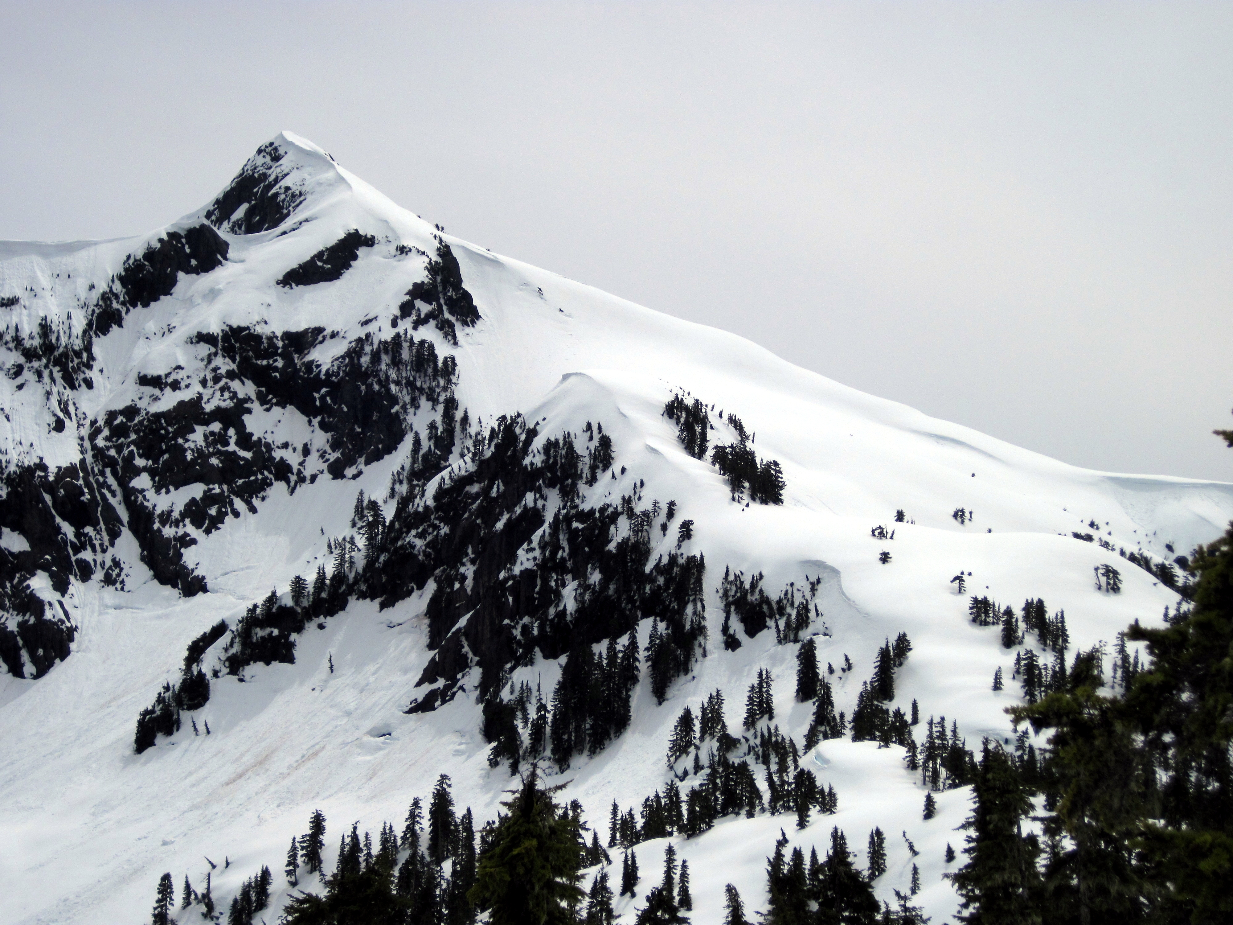
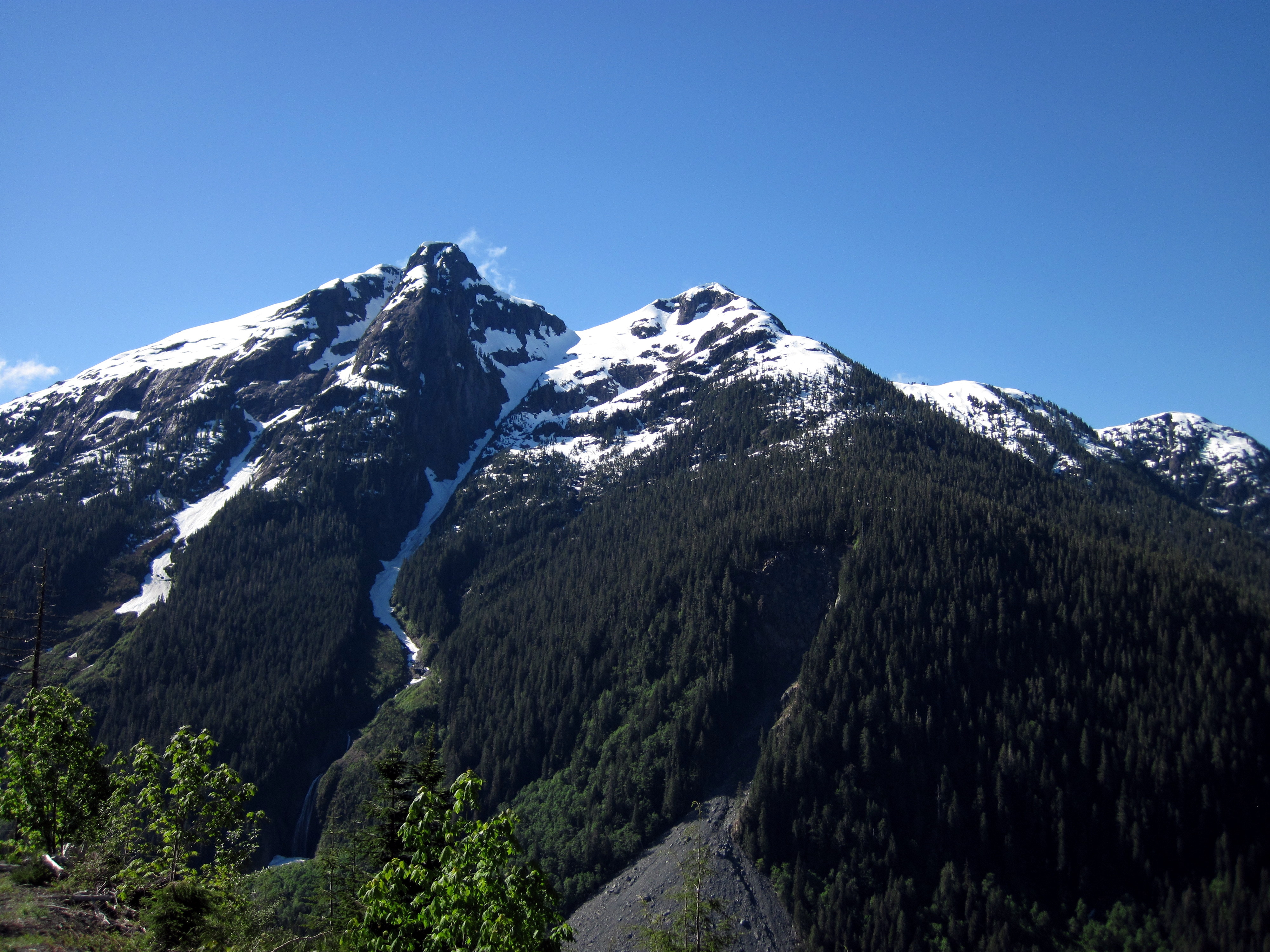
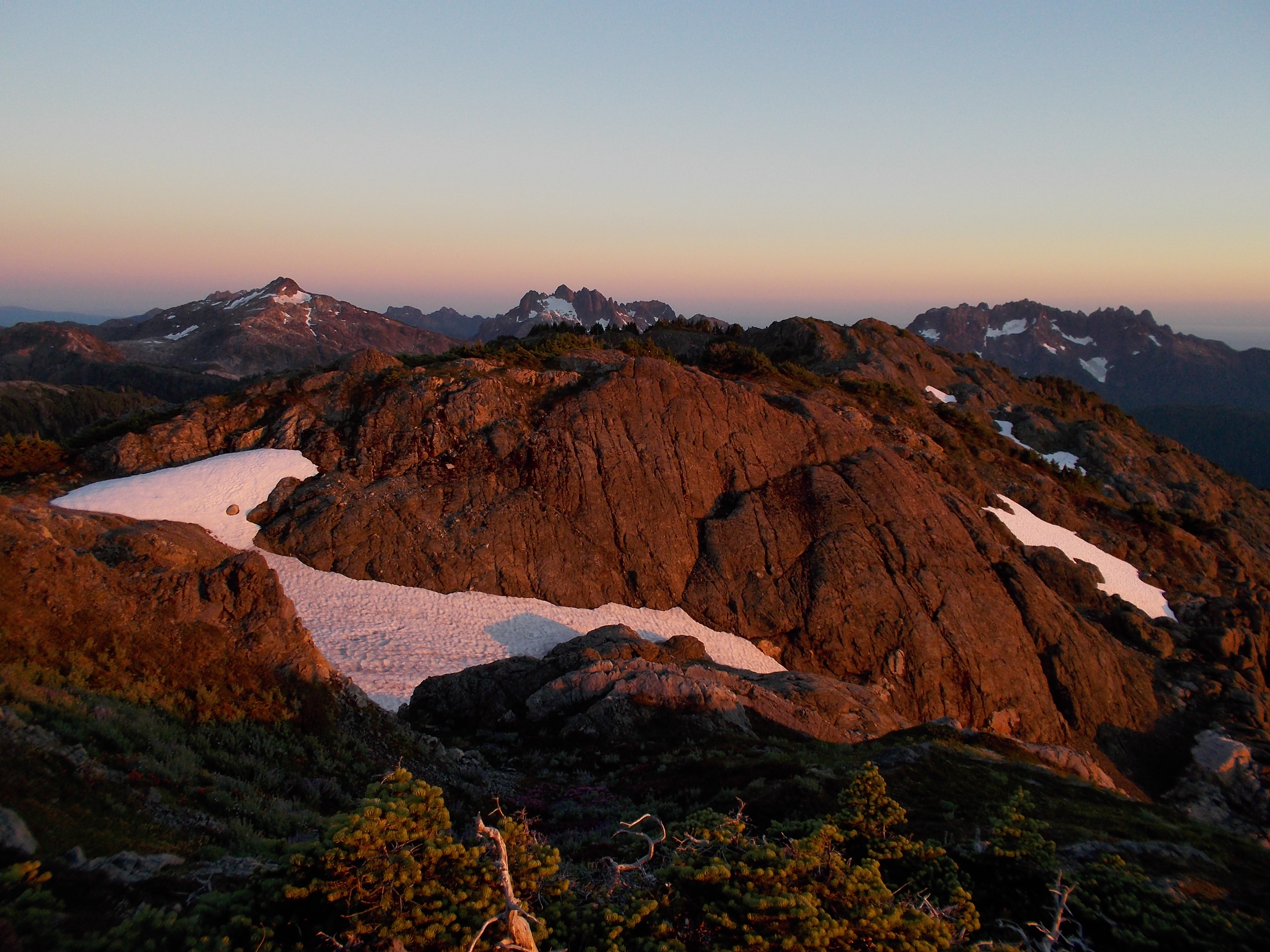
Mount Klitsa
Jack's Peak

Mount Klitsa
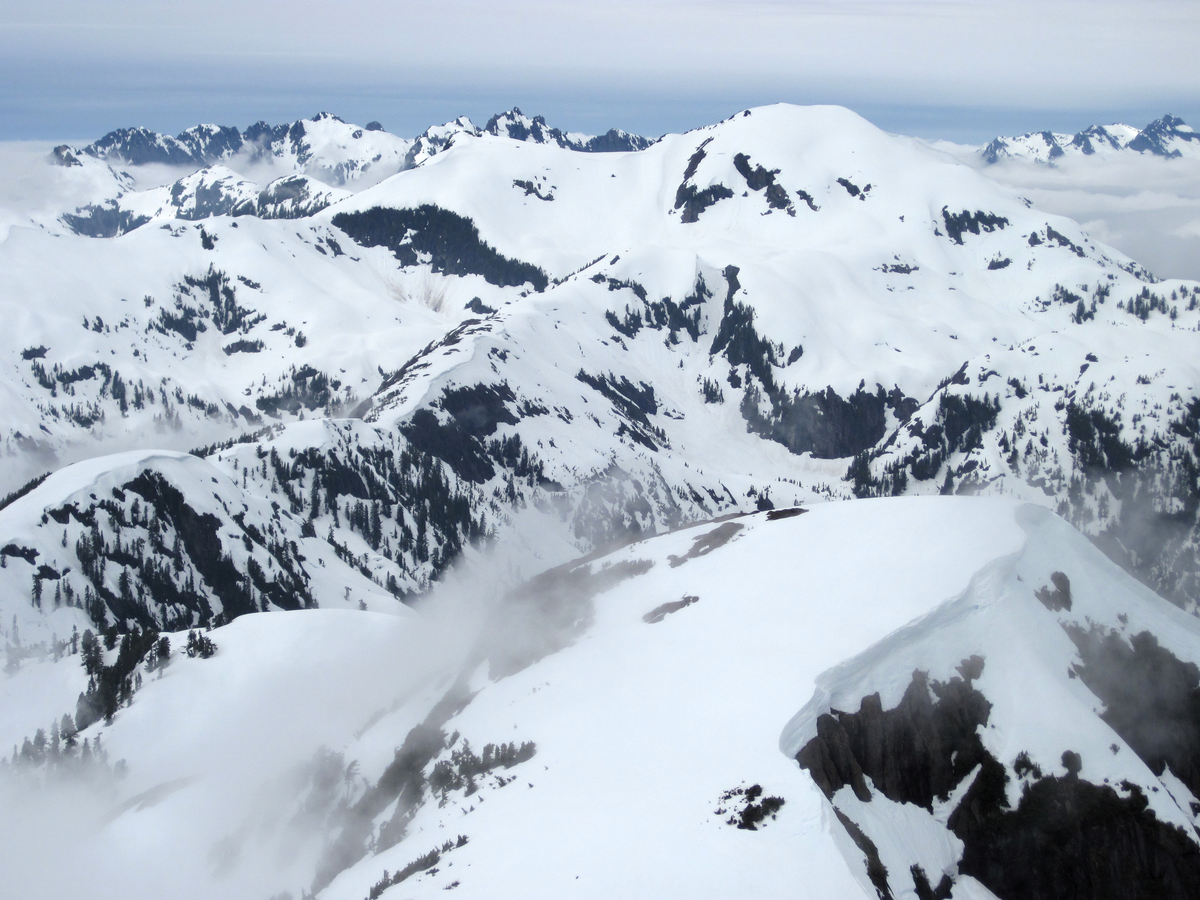
Snowy Ridge
Cat's Ears and 50-40
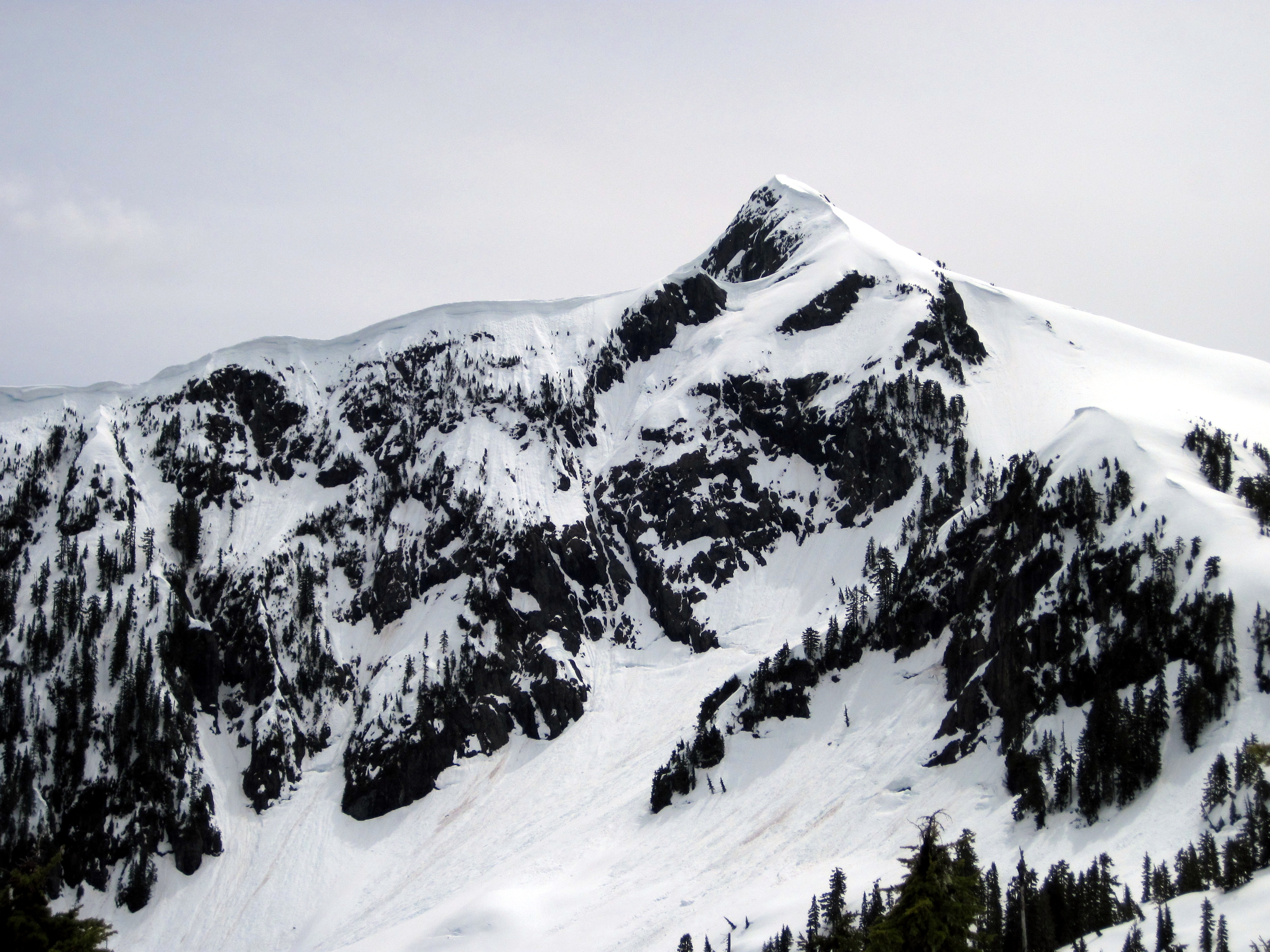
Mount Klitsa
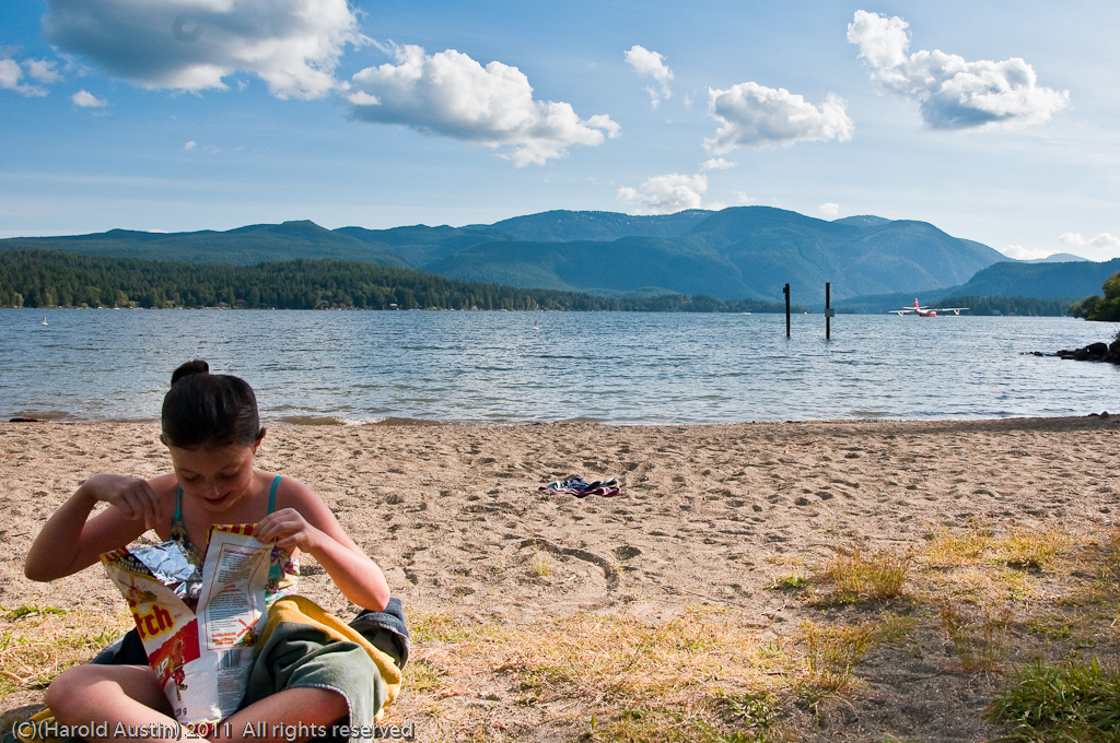
Ketchup chips
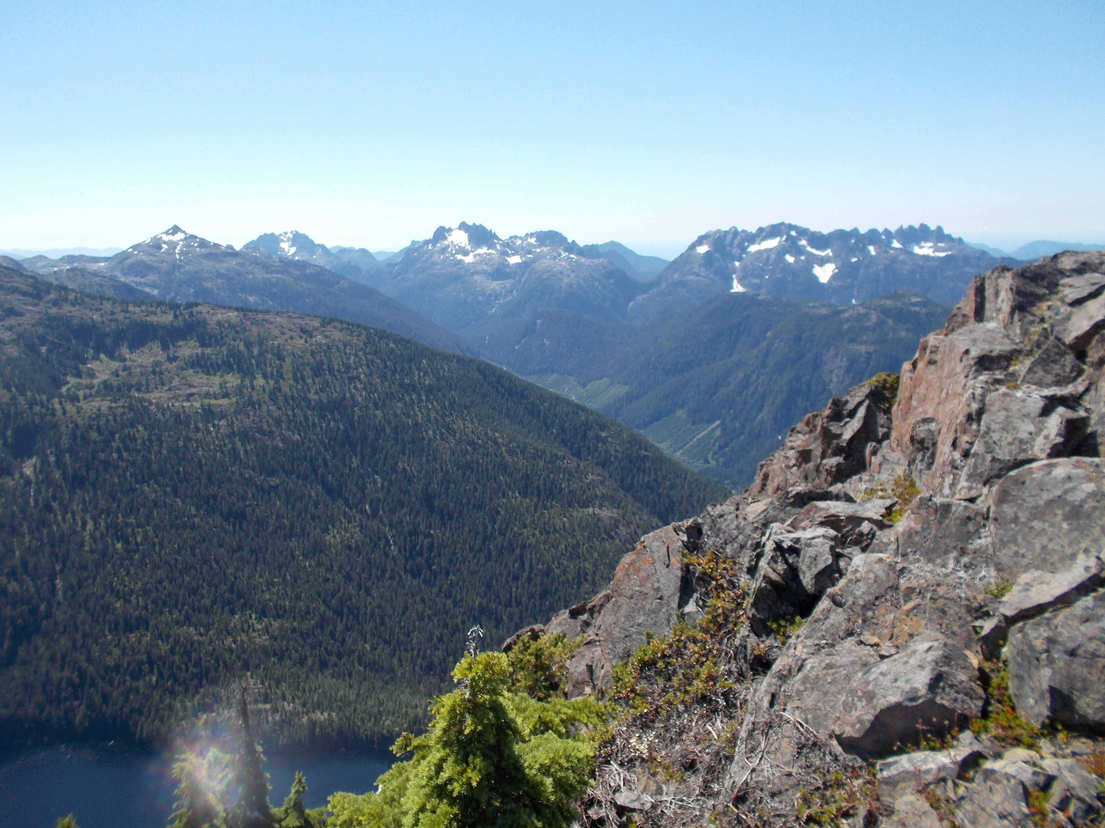
Looking South
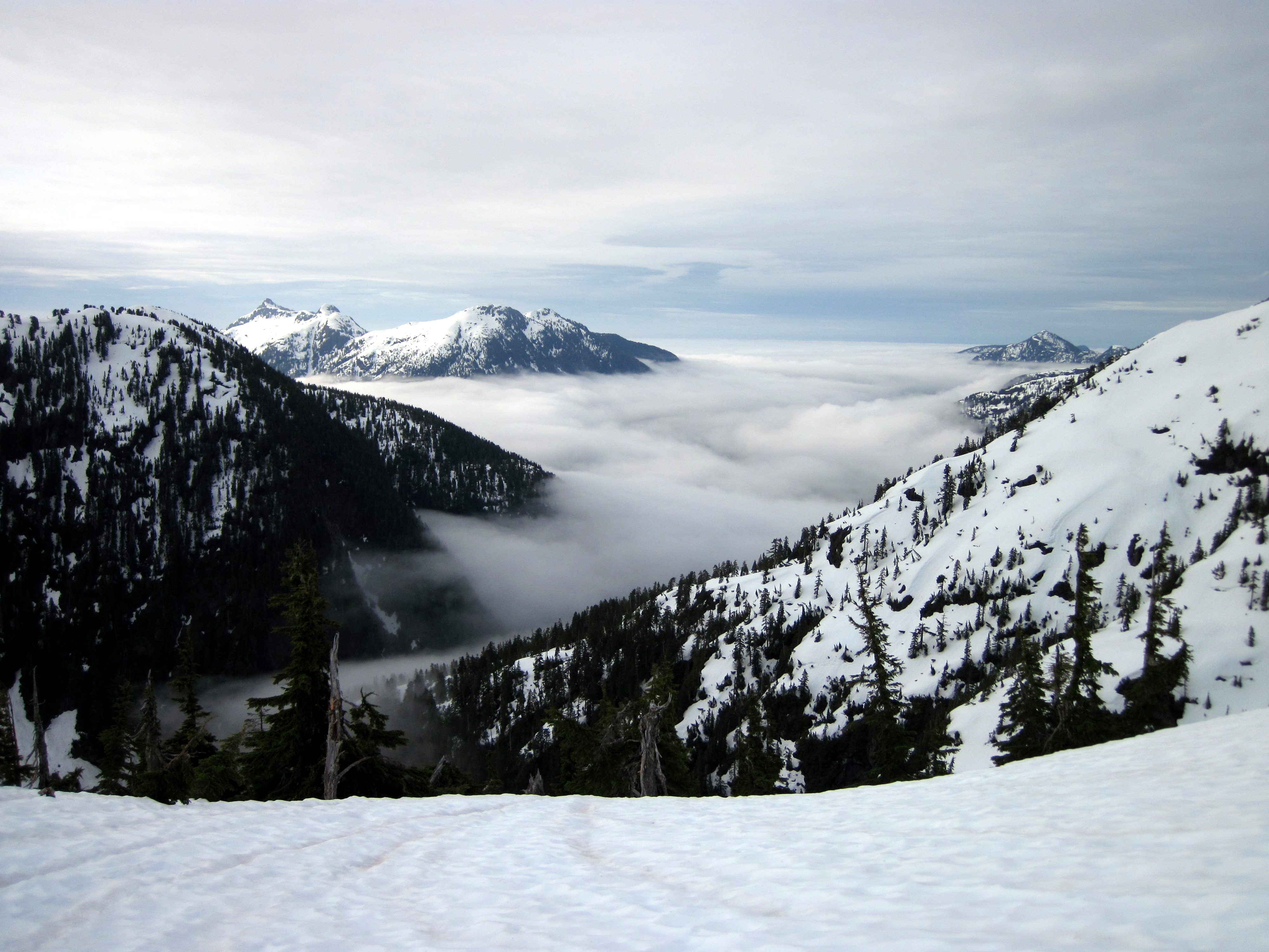
Clouds a-coming
Mount Klitsa
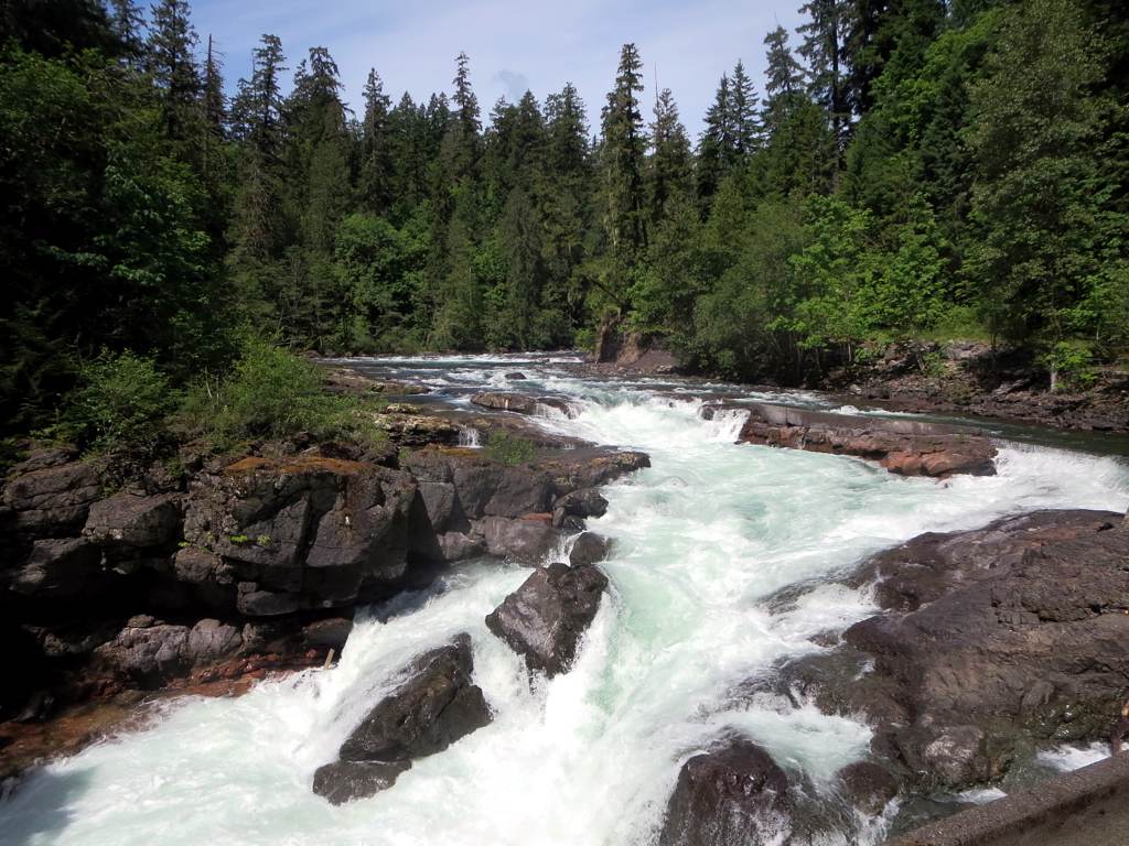
Stamp River Provincial Park

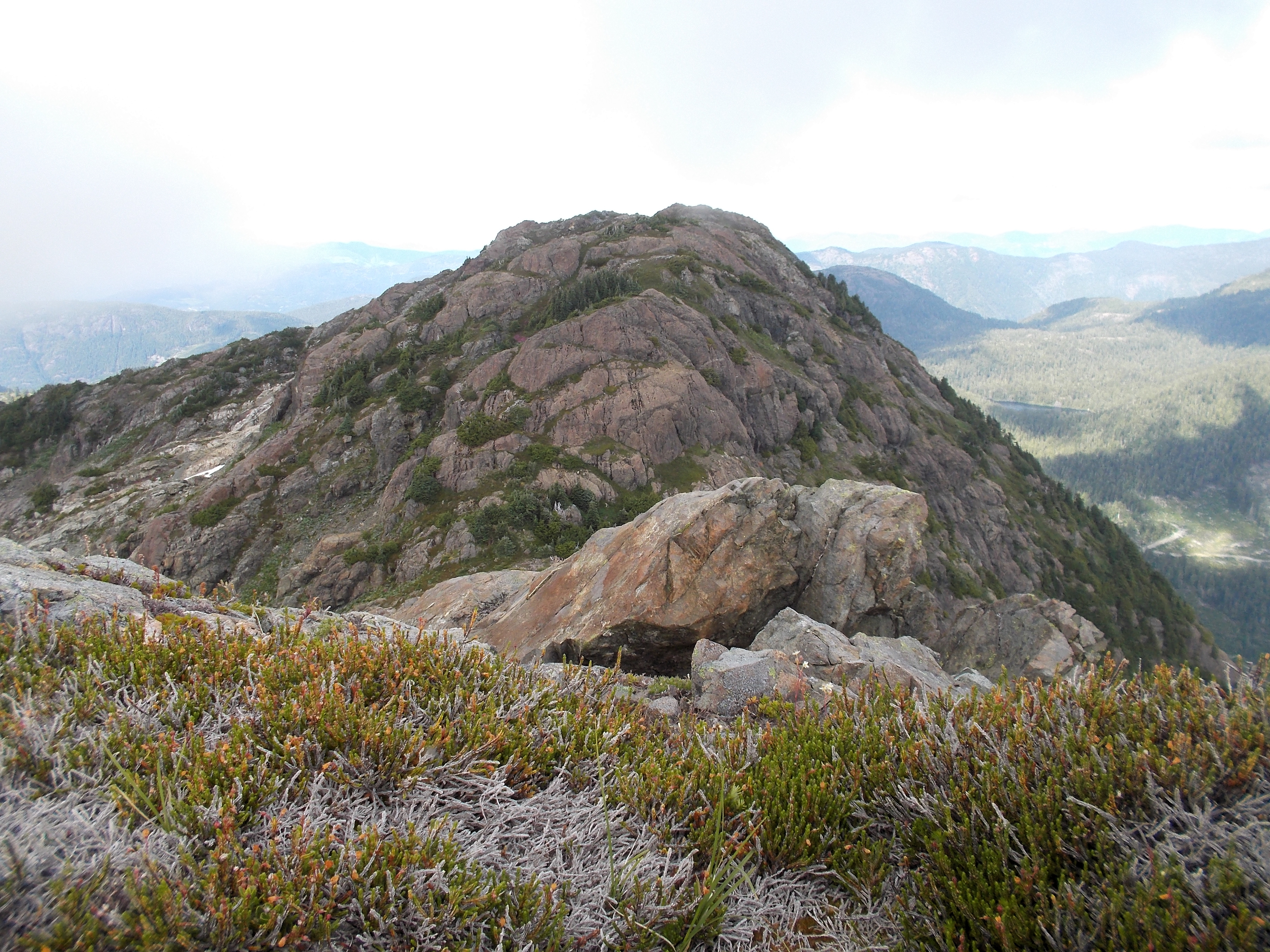
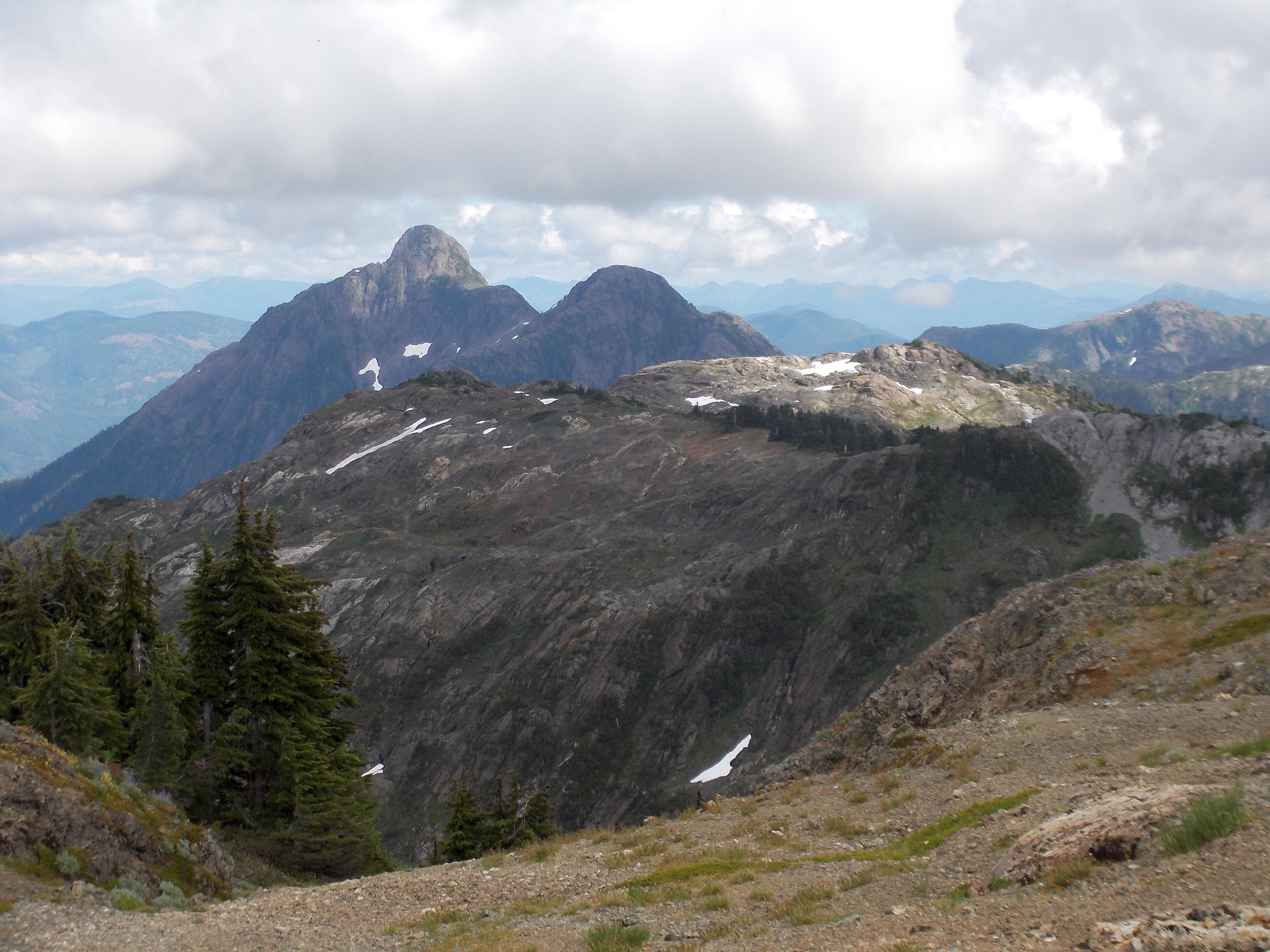
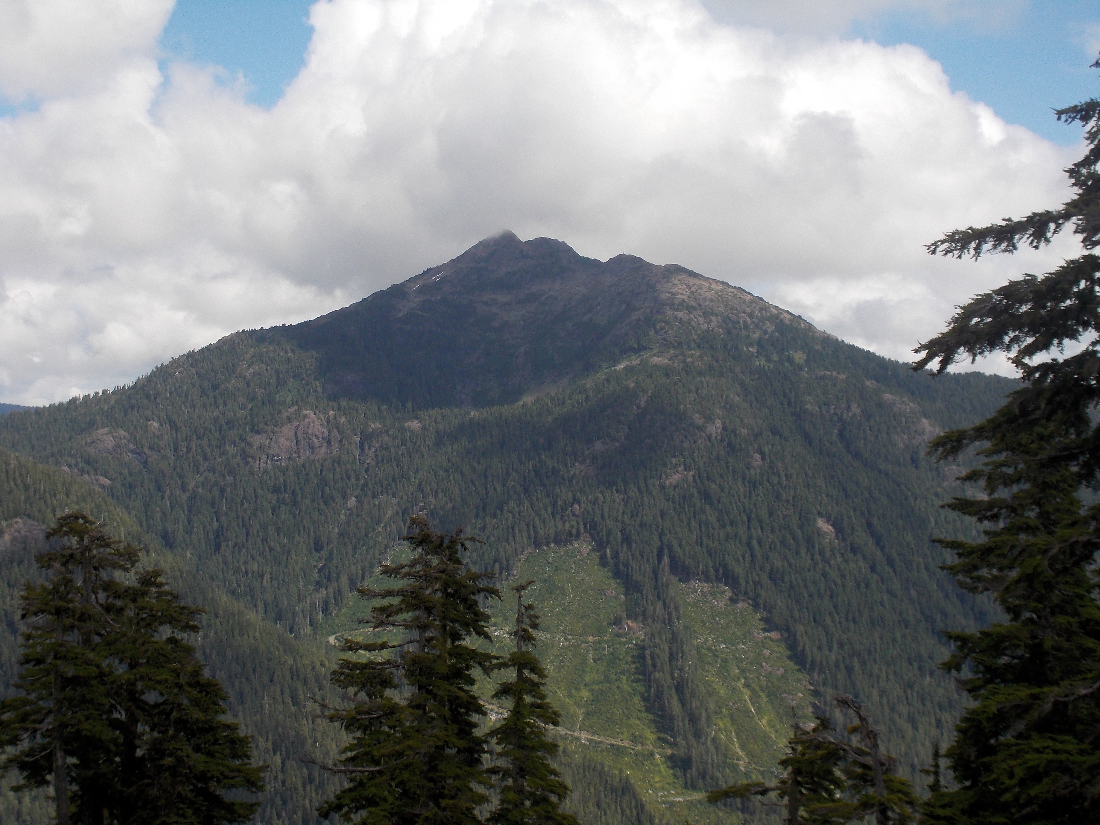
Nahmint Mountain

Klitsa Mountain
Nahmint Mountain

Klitsa Mountain
Amongst the Rocks
Nahmint Mountain
Ucluelet-006
Klitsa Mountain
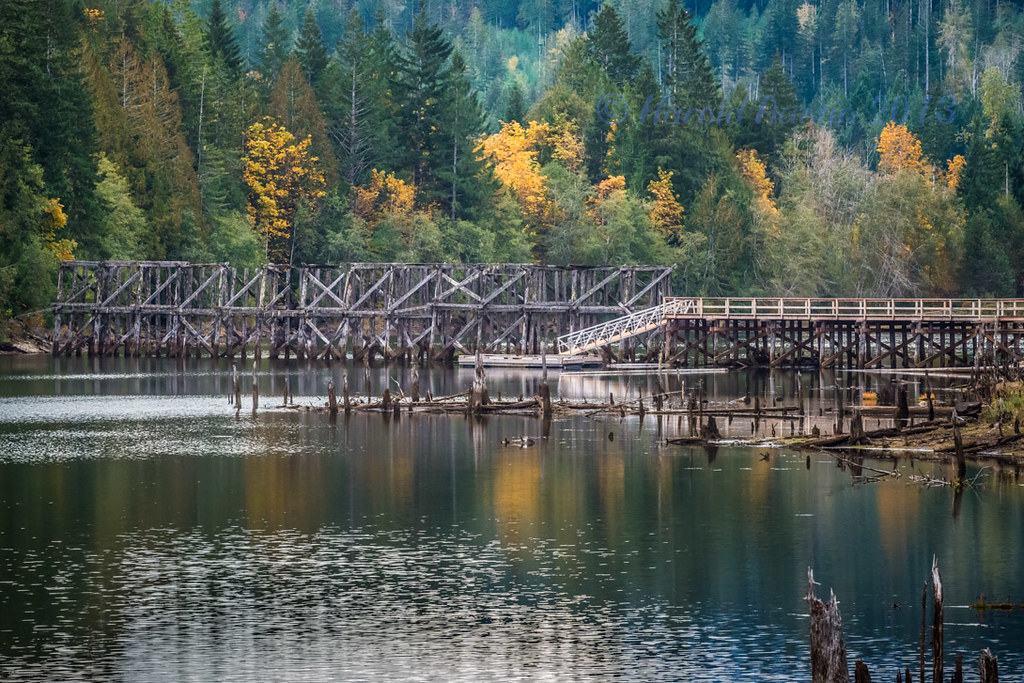
Ye Olde Trestle
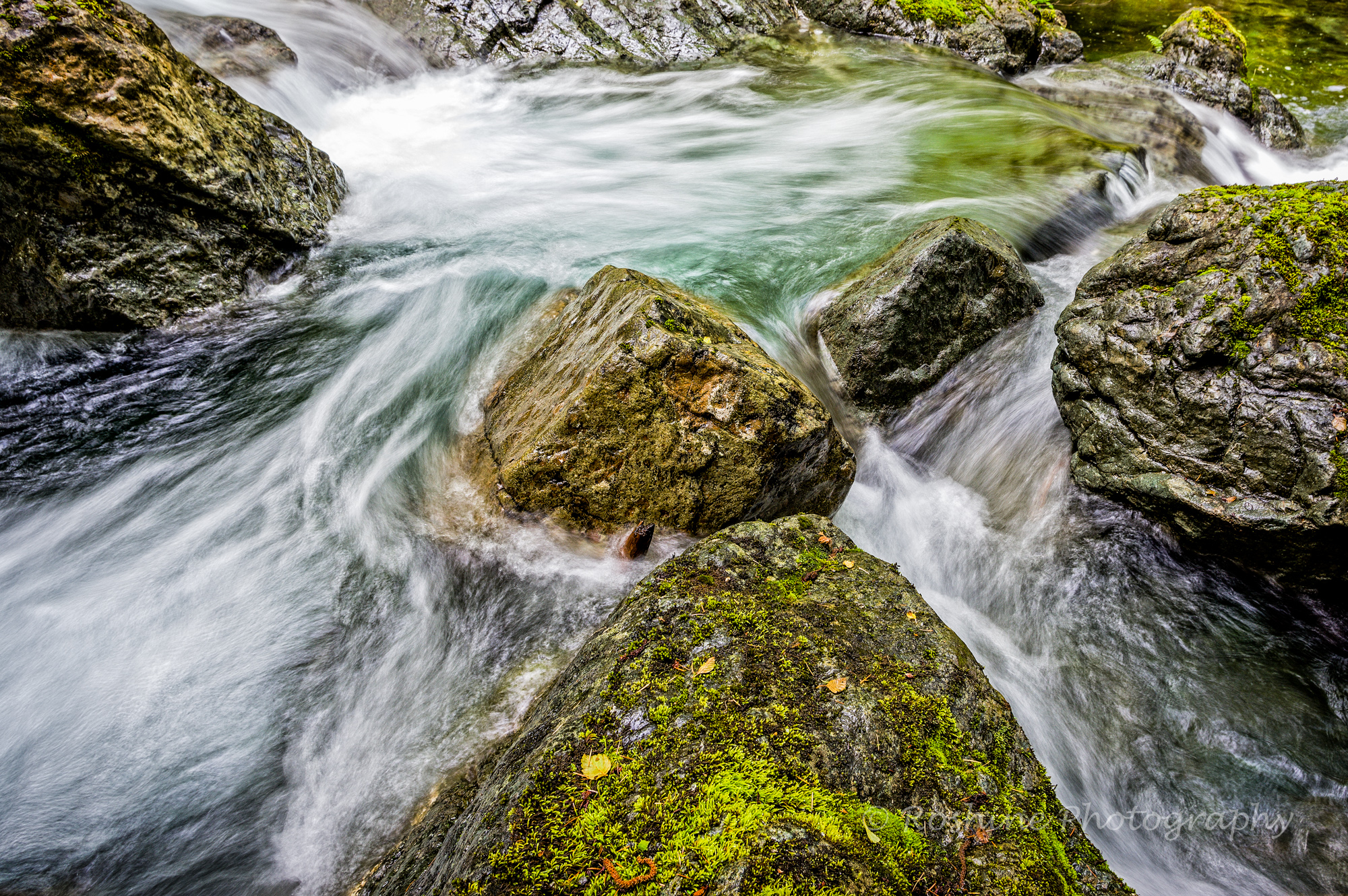
Dividing of the Waters

Triple Peak

5040 Peak
Looking South

13-0137

Nahmint Mountain
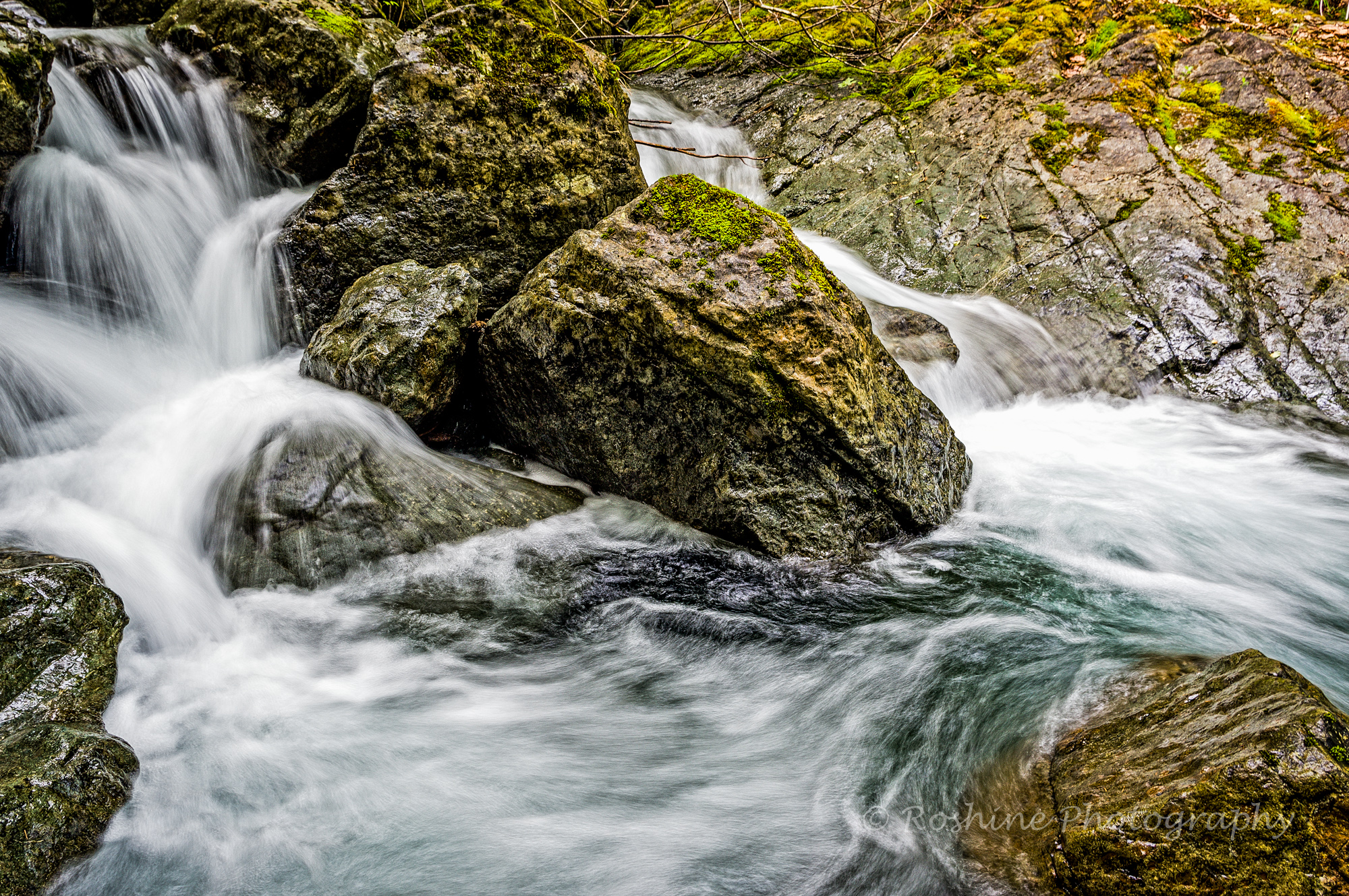
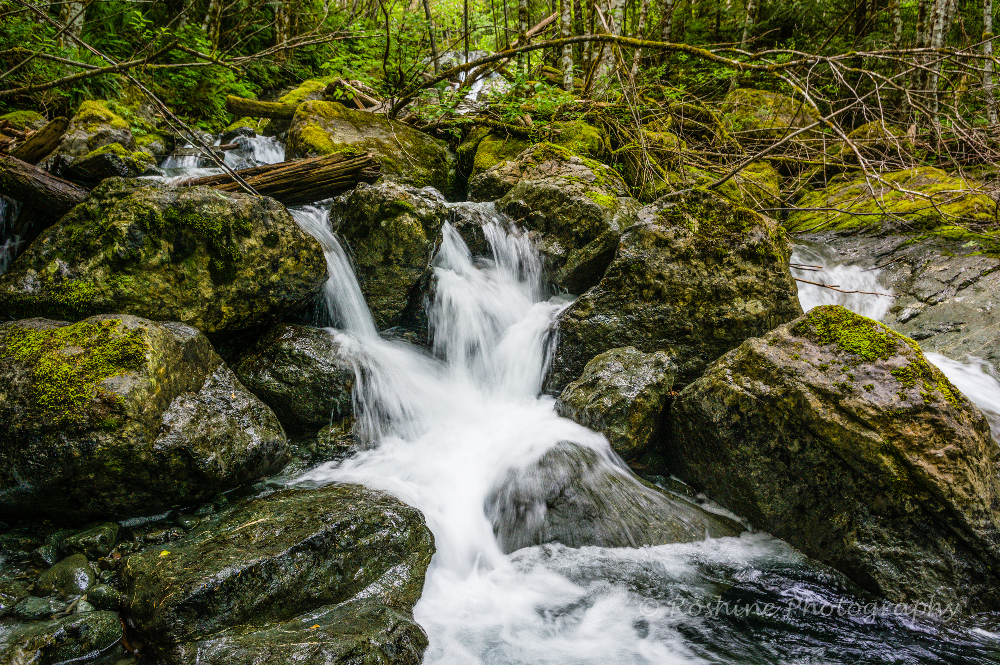
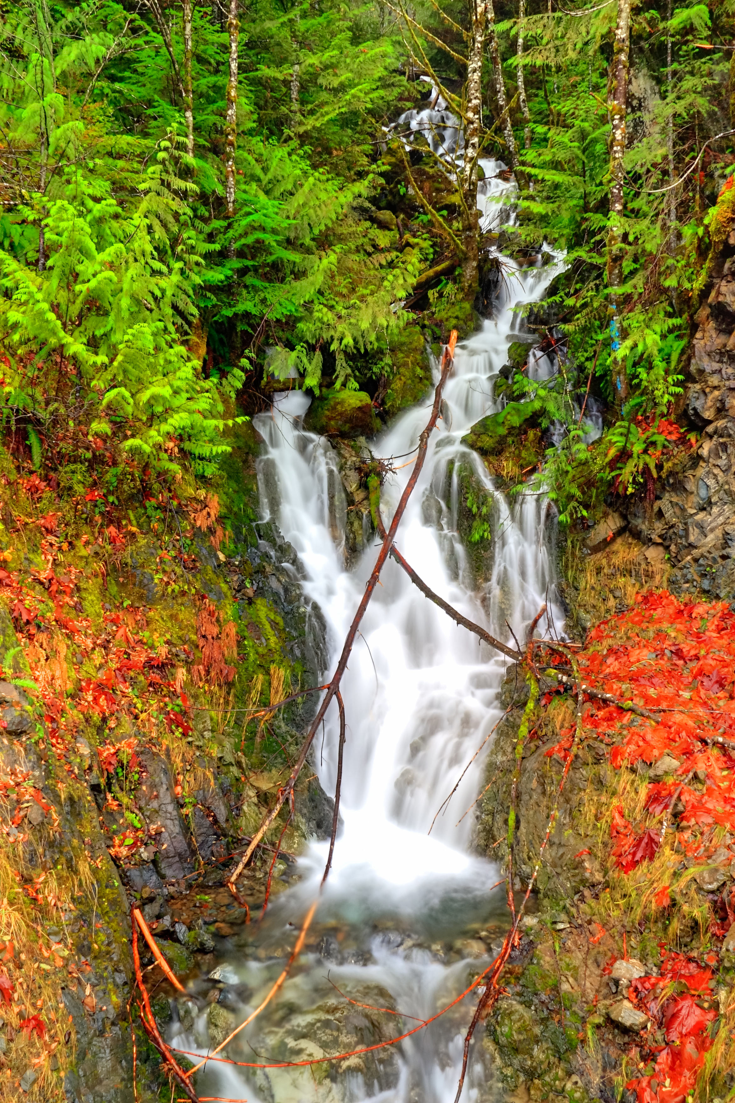
Choosing its Course
Topographic Map of Alberni-Clayoquot D, BC, Canada
Find elevation by address:

Places in Alberni-Clayoquot D, BC, Canada:
Places near Alberni-Clayoquot D, BC, Canada:
Sproat Lake
9533 Faber Rd
Port Alberni/sproat Lake Tanker Base Heliport
Sproat Lake Provincial Park Campsite
Alberni-clayoquot B
Alberni-clayoquot E
Karen Place
7037 Granville Rd
Granville Rd, Port Alberni, BC V9Y 8M1, Canada
5542 Falls St
5542 Falls St
Granville Road
6330 Lamarque Rd
Lugrin Road
6120 Smith Rd
6006 Lugrin Rd
6018 River Rd
5939 Brown Rd
5720 Watson Rd
5281 Mary St
Recent Searches:
- Elevation of Tenjo, Cundinamarca, Colombia
- Elevation of Côte-des-Neiges, Montreal, QC H4A 3J6, Canada
- Elevation of Bobcat Dr, Helena, MT, USA
- Elevation of Zu den Ihlowbergen, Althüttendorf, Germany
- Elevation of Badaber, Peshawar, Khyber Pakhtunkhwa, Pakistan
- Elevation of SE Heron Loop, Lincoln City, OR, USA
- Elevation of Slanický ostrov, 01 Námestovo, Slovakia
- Elevation of Spaceport America, Co Rd A, Truth or Consequences, NM, USA
- Elevation of Warwick, RI, USA
- Elevation of Fern Rd, Whitmore, CA, USA