Elevation of Alamata, Ethiopia
Location: Ethiopia > Tigray > South Tigray >
Longitude: 39.5536782
Latitude: 12.41967
Elevation: 1587m / 5207feet
Barometric Pressure: 84KPa
Elevation Map:
Satellite Map:
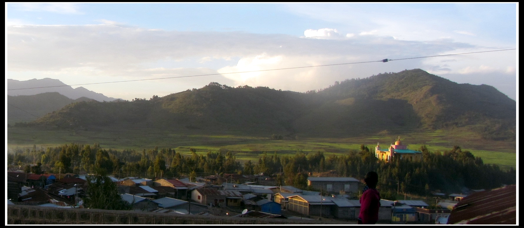
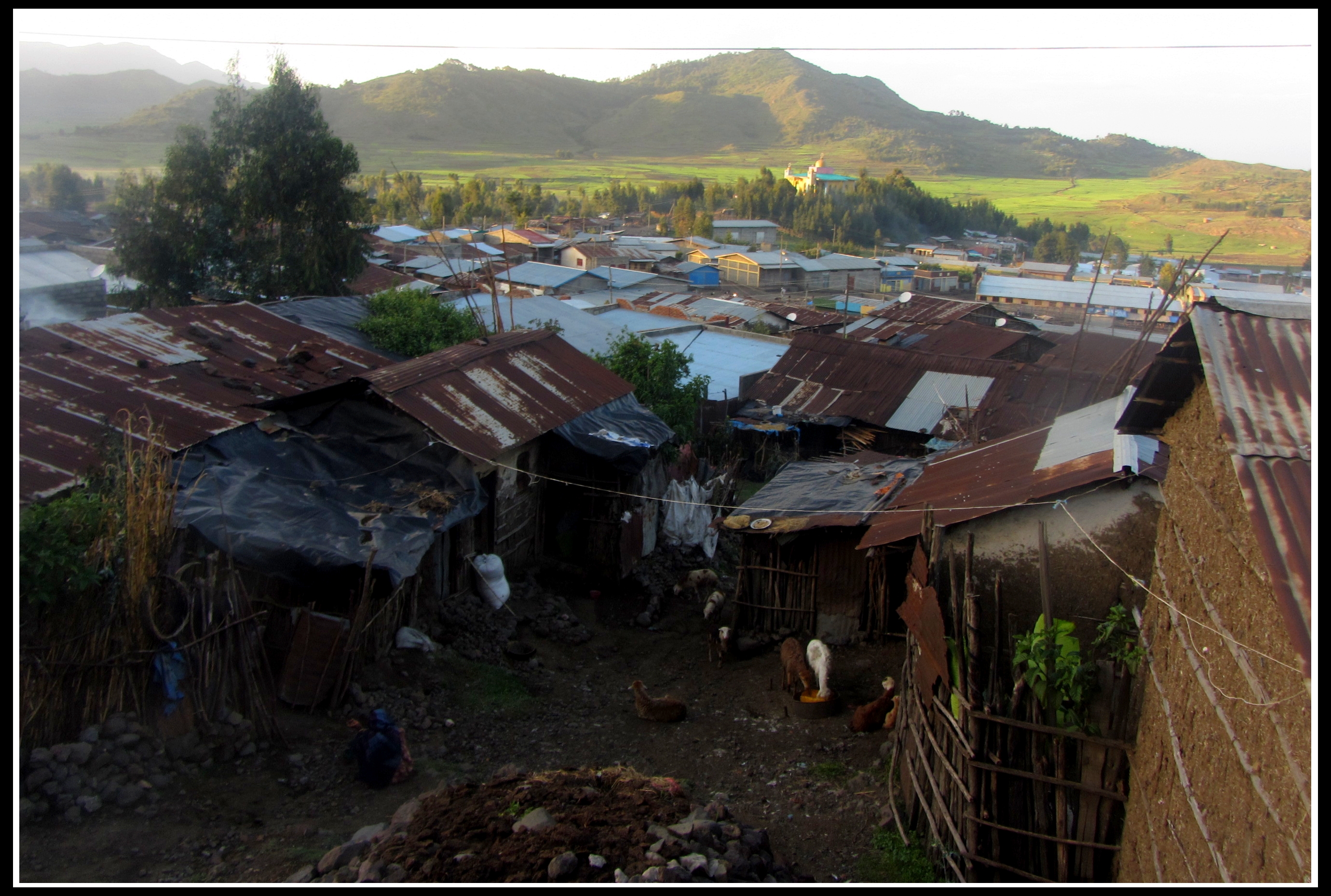
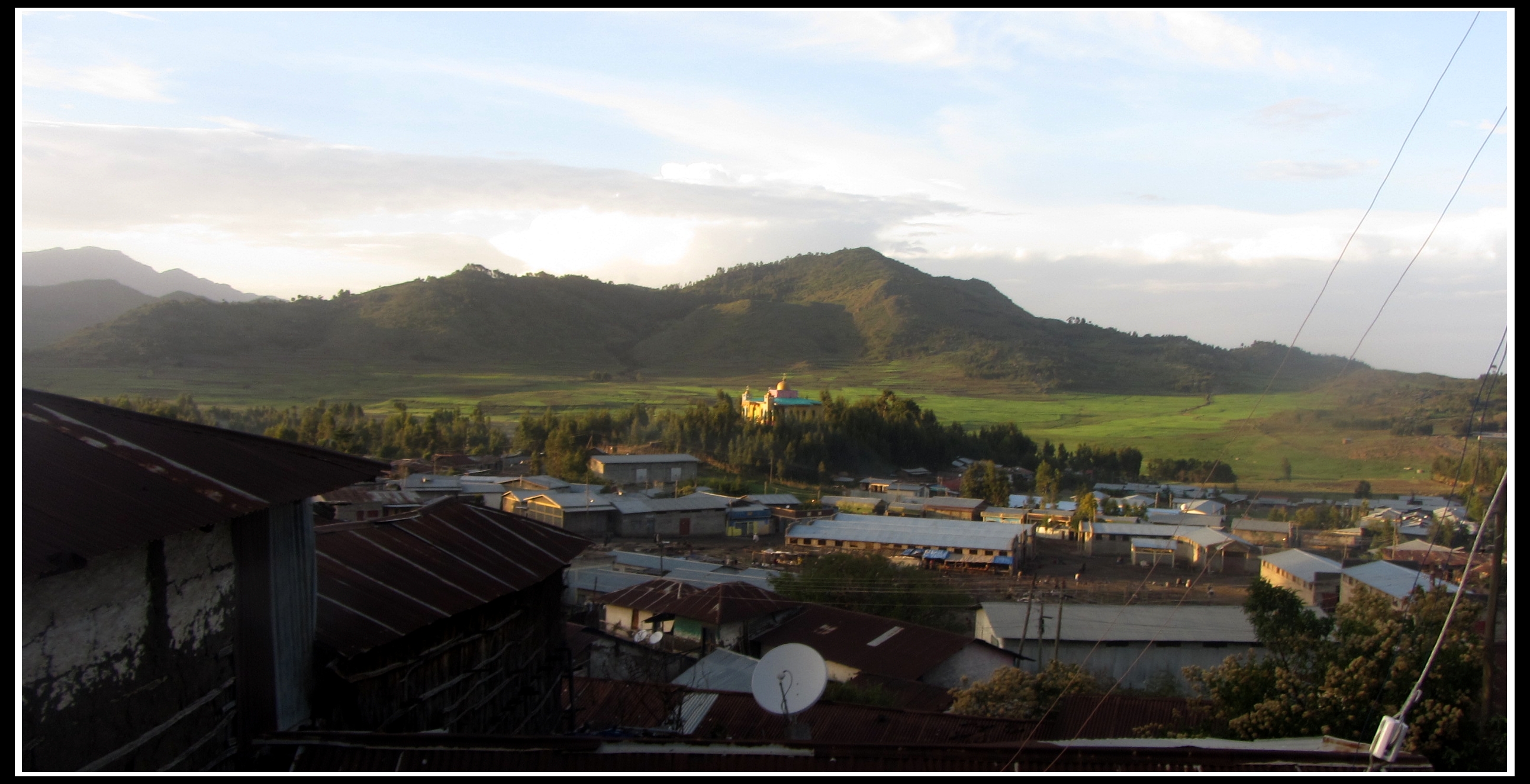
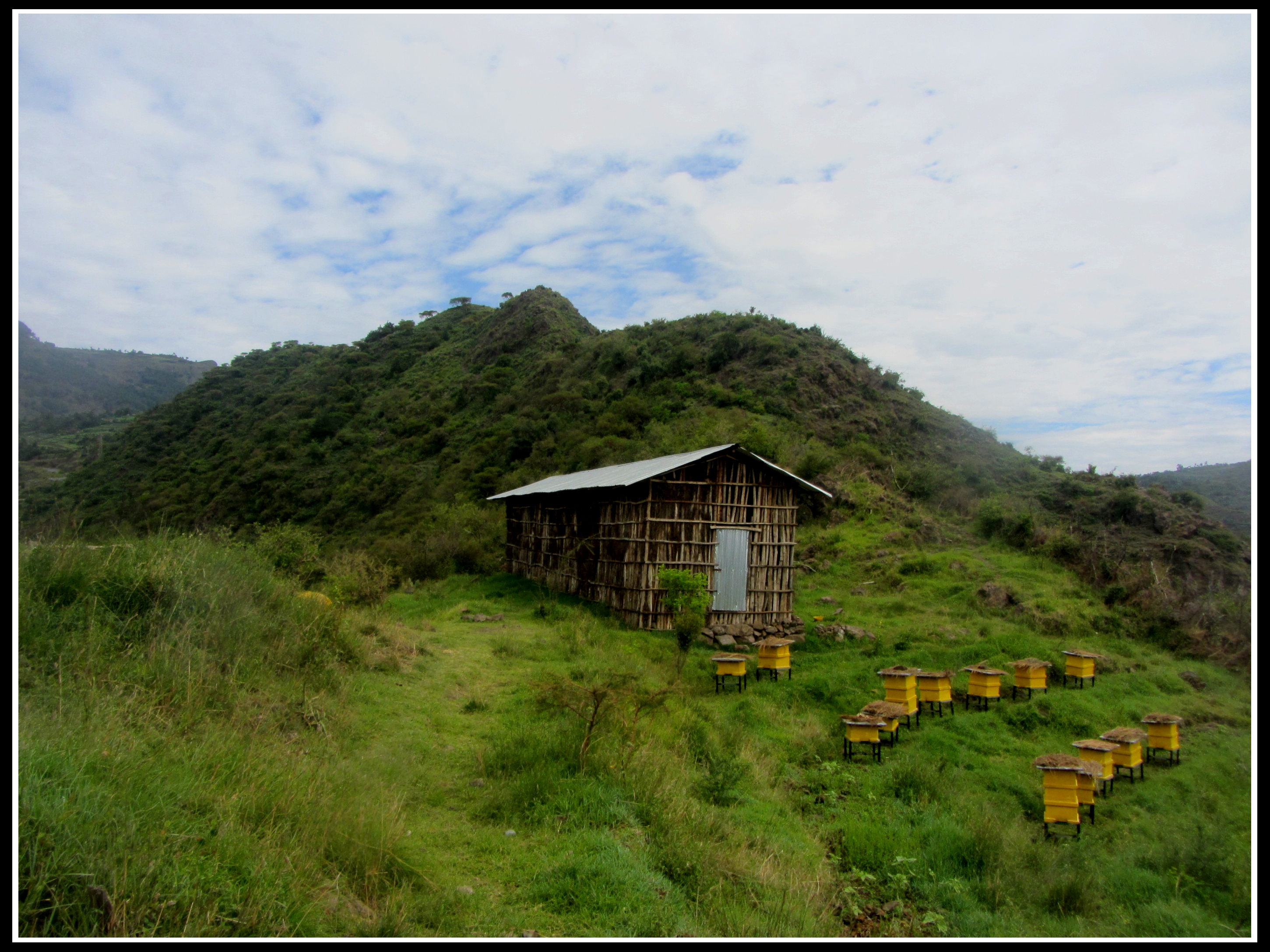
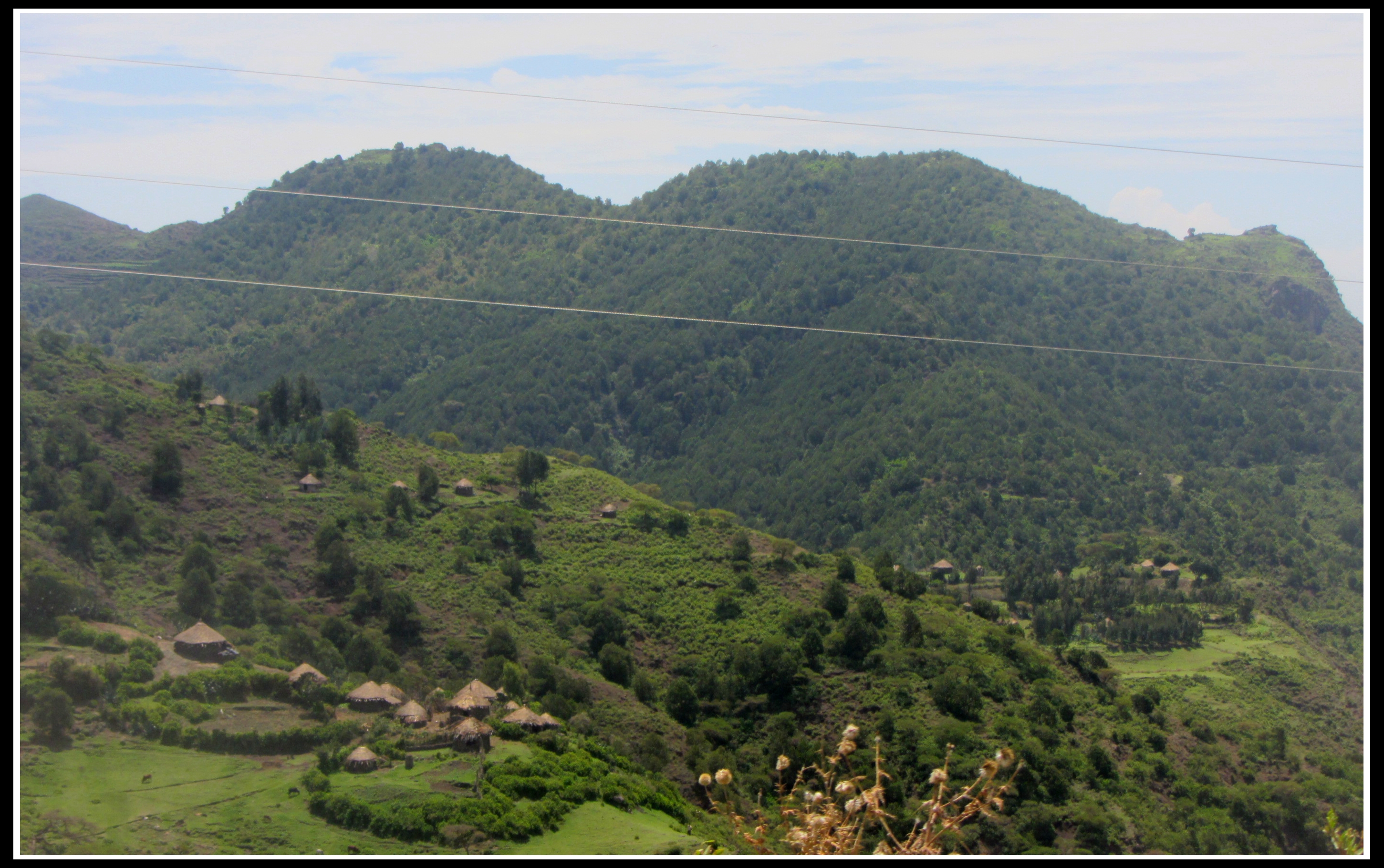
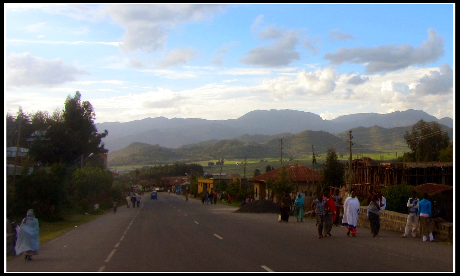
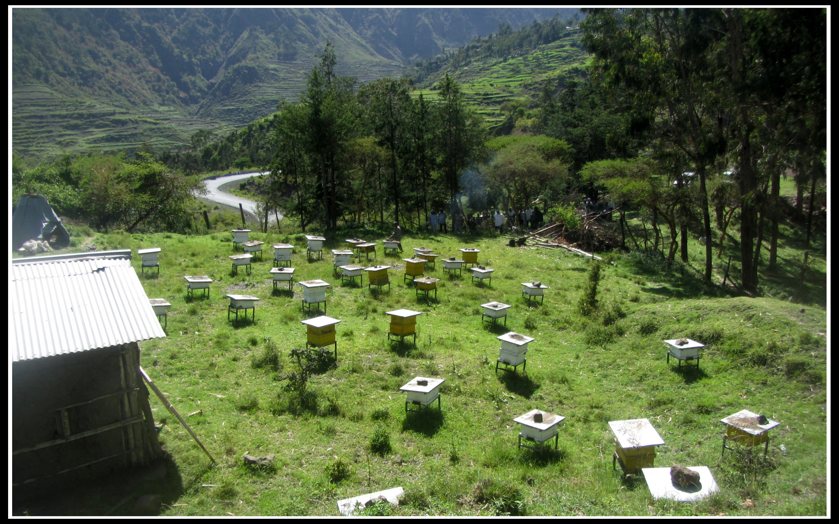
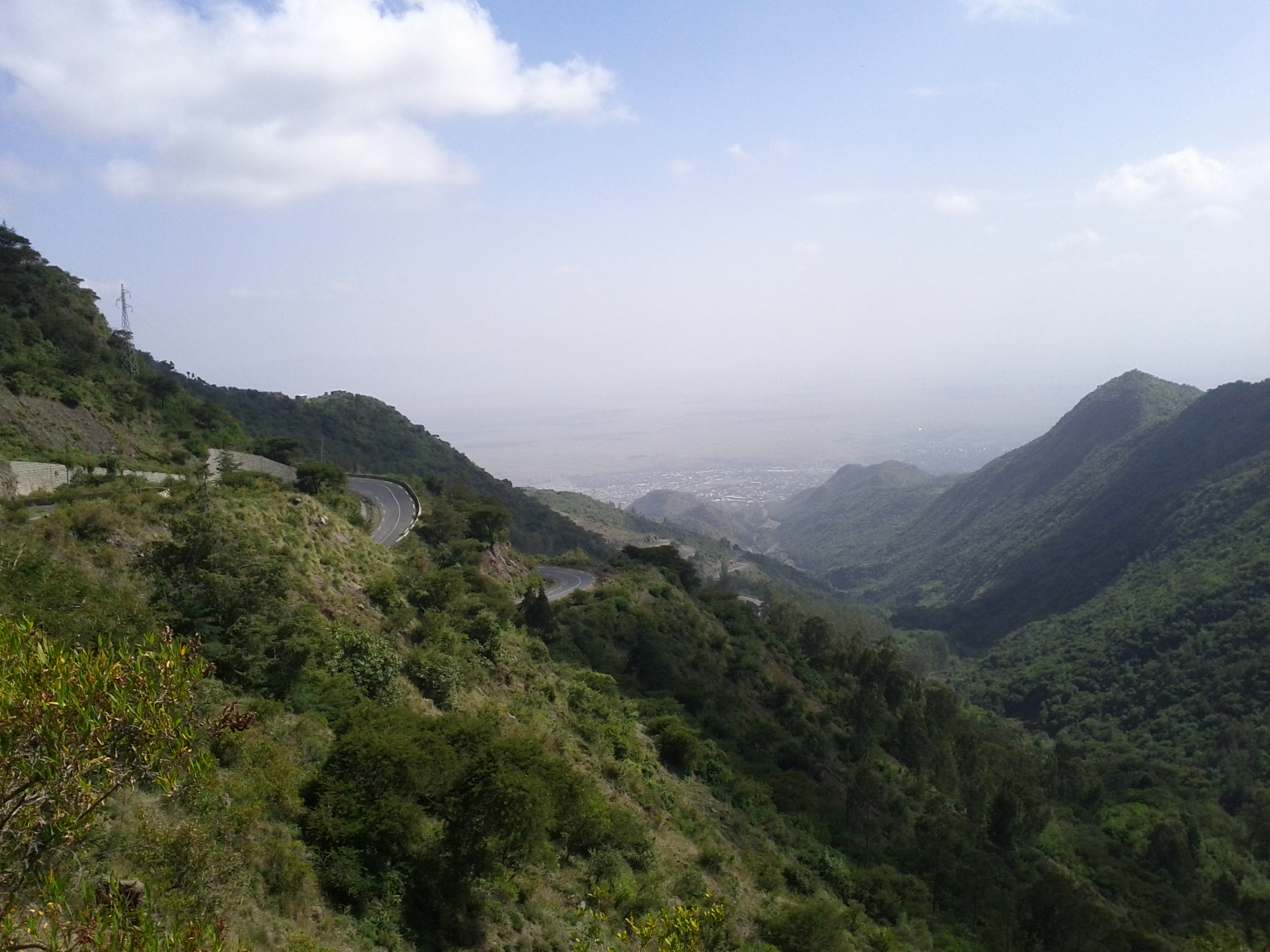
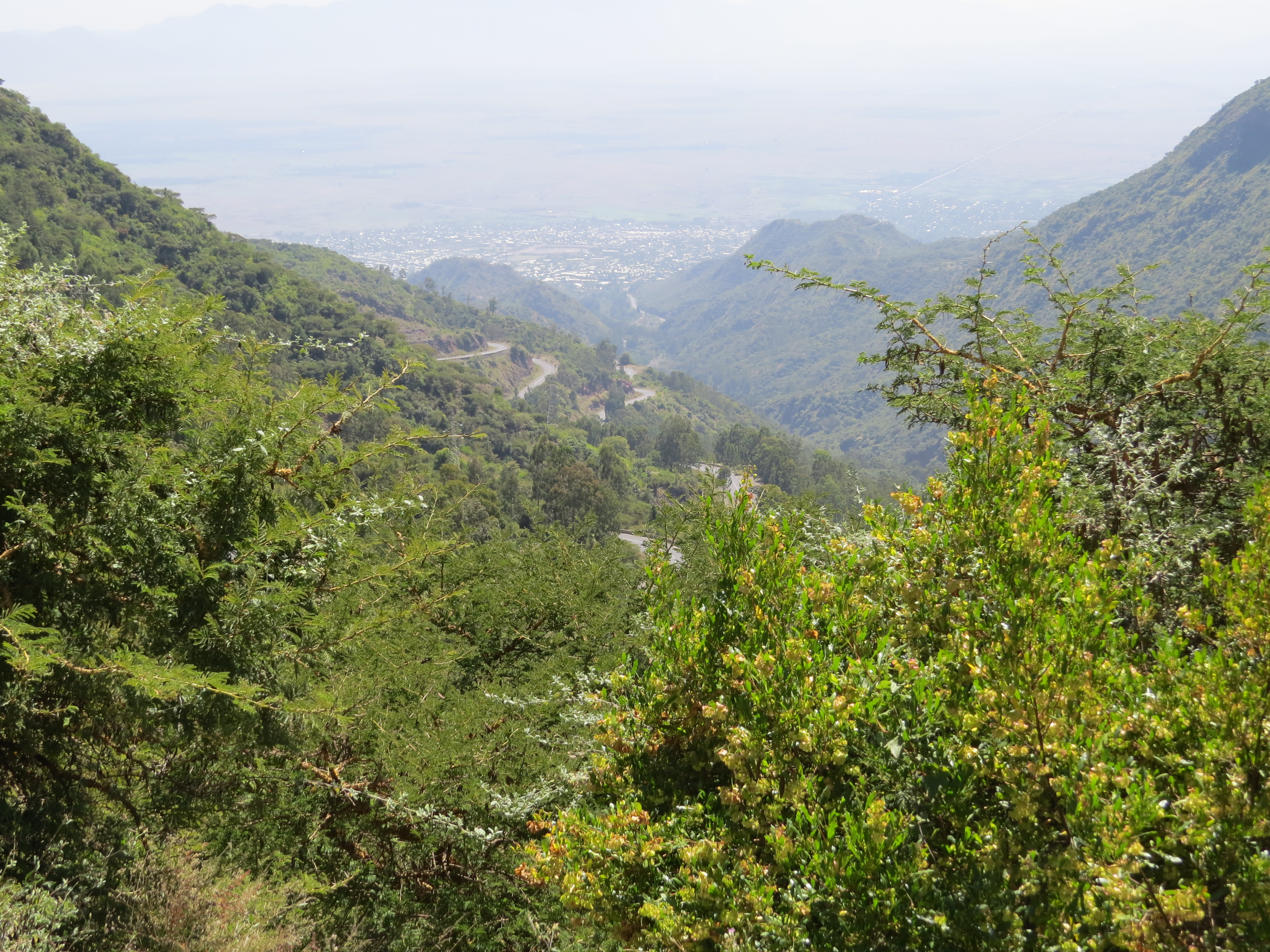
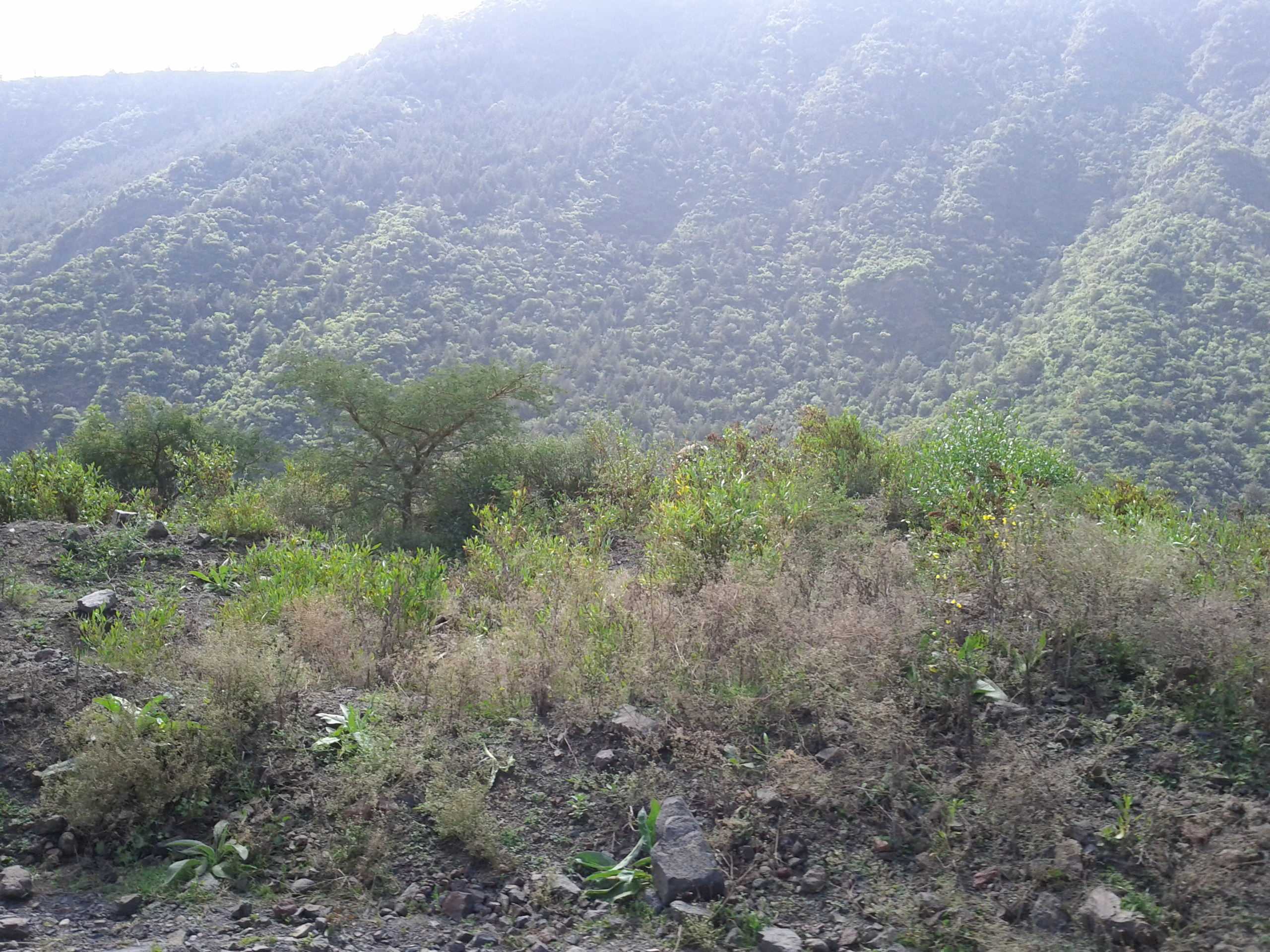
Related Photos:
gIMG_3724b
gIMG_3725b
gIMG_3723b

gIMG_3715b

gIMG_3783b
gIMG_3793b
gIMG_3805b
gIMG_3789b

gIMG_3806b
gIMG_3791b
gIMG_3700b
gIMG_3819b
gIMG_3707b
gIMG_3656b

gIMG_3657b
IMG_20111217_132550
IMG_0242

IMG_20111217_132807
IMG_20111217_132800
Topographic Map of Alamata, Ethiopia
Find elevation by address:

Places near Alamata, Ethiopia:
Recent Searches:
- Elevation of Zimmer Trail, Pennsylvania, USA
- Elevation of 87 Kilmartin Ave, Bristol, CT, USA
- Elevation of Honghe National Nature Reserve, QP95+PJP, Tongjiang, Heilongjiang, Jiamusi, Heilongjiang, China
- Elevation of Hercules Dr, Colorado Springs, CO, USA
- Elevation of Szlak pieszy czarny, Poland
- Elevation of Griffing Blvd, Biscayne Park, FL, USA
- Elevation of Kreuzburger Weg 13, Düsseldorf, Germany
- Elevation of Gateway Blvd SE, Canton, OH, USA
- Elevation of East W.T. Harris Boulevard, E W.T. Harris Blvd, Charlotte, NC, USA
- Elevation of West Sugar Creek, Charlotte, NC, USA