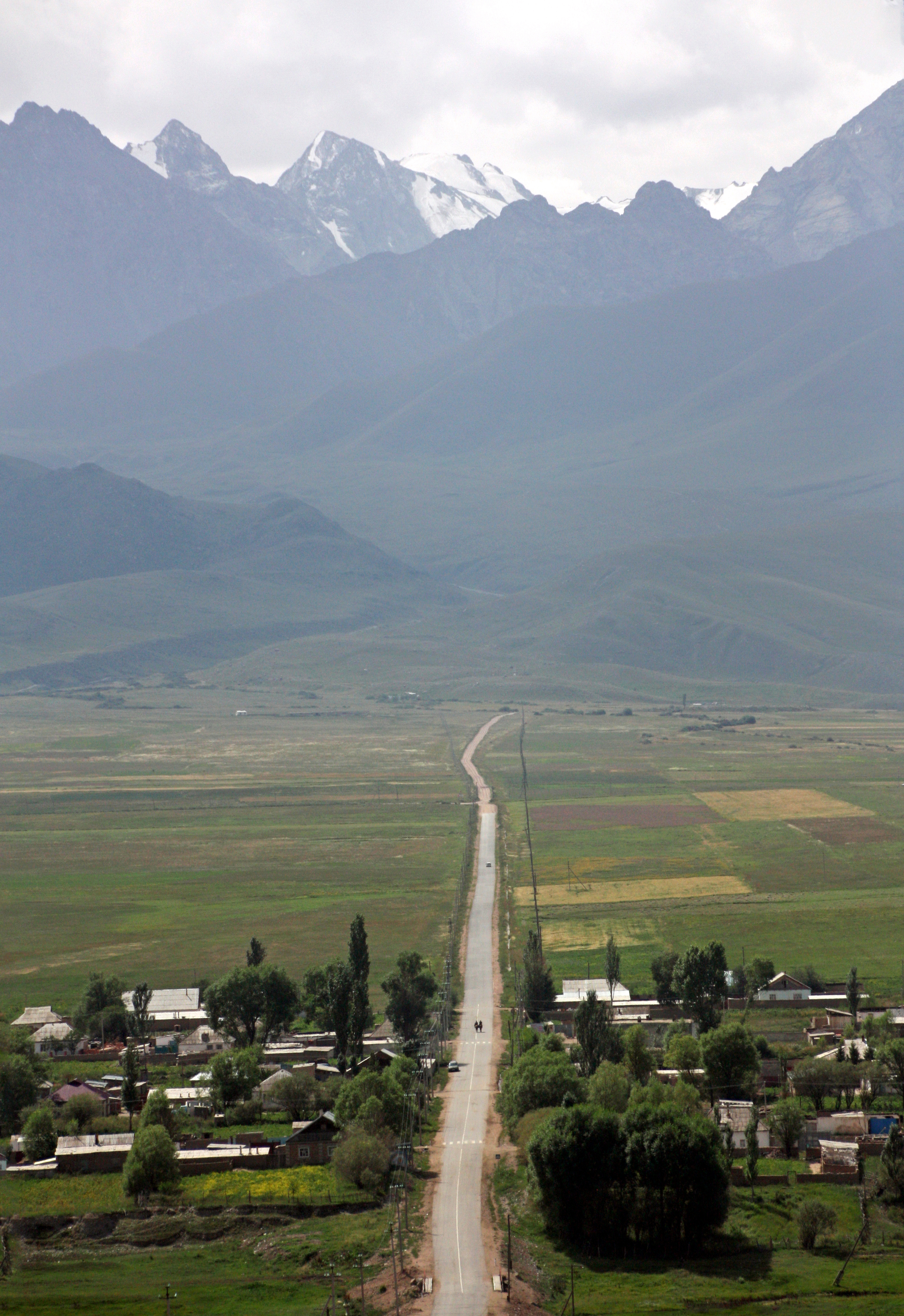
Elevation of Ala-Bash, Kyrgyzstan
Location: Kyrgyzstan > Ysyk Kol Province >
Longitude: 76.47921
Latitude: 42.113602
Elevation: 2034m / 6673feet
Barometric Pressure: 79KPa
Elevation Map:
Satellite Map:
Related Photos:
IMG_8077_edited-2

IMG_8054_edited-2

IMG_8045_edited-1

IMG_8043_edited-1

IMG_8038_edited-1

IMG_8037_edited-1
Topographic Map of Ala-Bash, Kyrgyzstan
Find elevation by address:

Places near Ala-Bash, Kyrgyzstan:
Recent Searches:
- Elevation of Côte-des-Neiges, Montreal, QC H4A 3J6, Canada
- Elevation of Bobcat Dr, Helena, MT, USA
- Elevation of Zu den Ihlowbergen, Althüttendorf, Germany
- Elevation of Badaber, Peshawar, Khyber Pakhtunkhwa, Pakistan
- Elevation of SE Heron Loop, Lincoln City, OR, USA
- Elevation of Slanický ostrov, 01 Námestovo, Slovakia
- Elevation of Spaceport America, Co Rd A, Truth or Consequences, NM, USA
- Elevation of Warwick, RI, USA
- Elevation of Fern Rd, Whitmore, CA, USA
- Elevation of 62 Abbey St, Marshfield, MA, USA