Elevation map of Al-Qādisiyyah Governorate, Iraq
Location: Iraq >
Longitude: 45.1494505
Latitude: 32.043691
Elevation: 20m / 66feet
Barometric Pressure: 101KPa
Elevation Map:
Satellite Map:
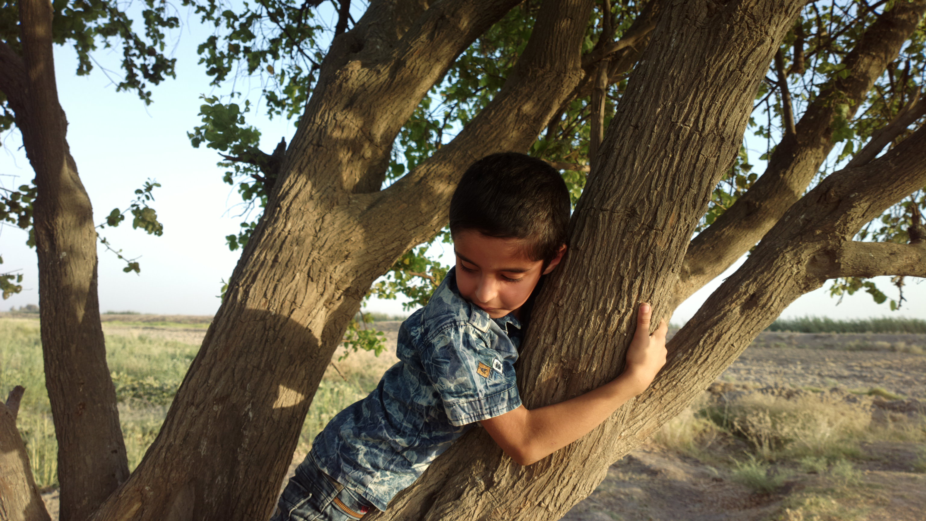
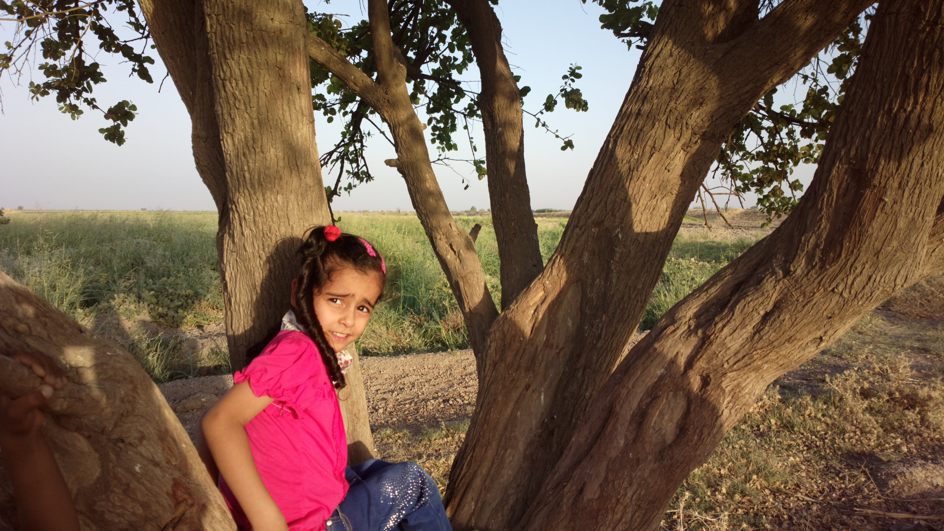
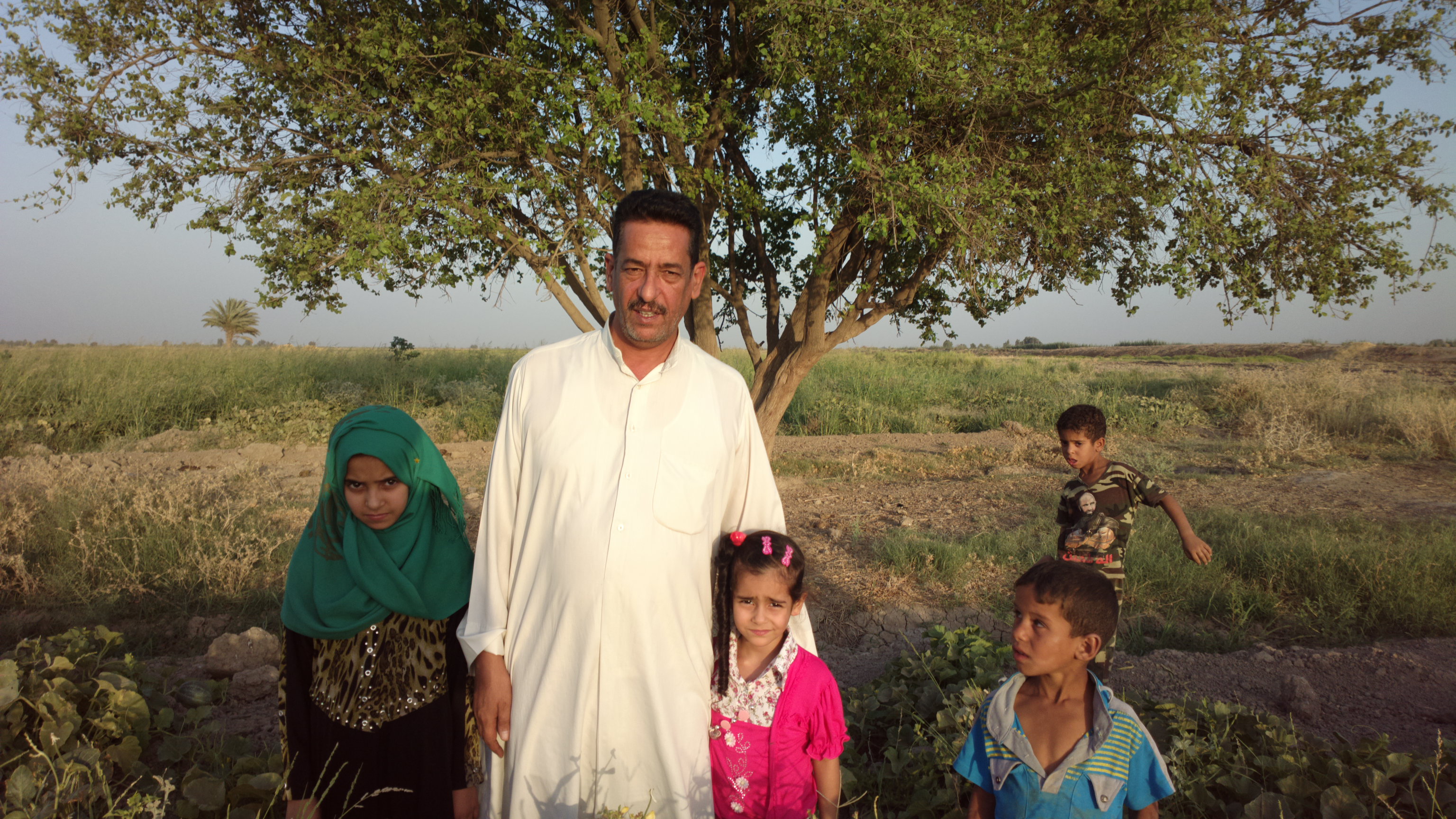
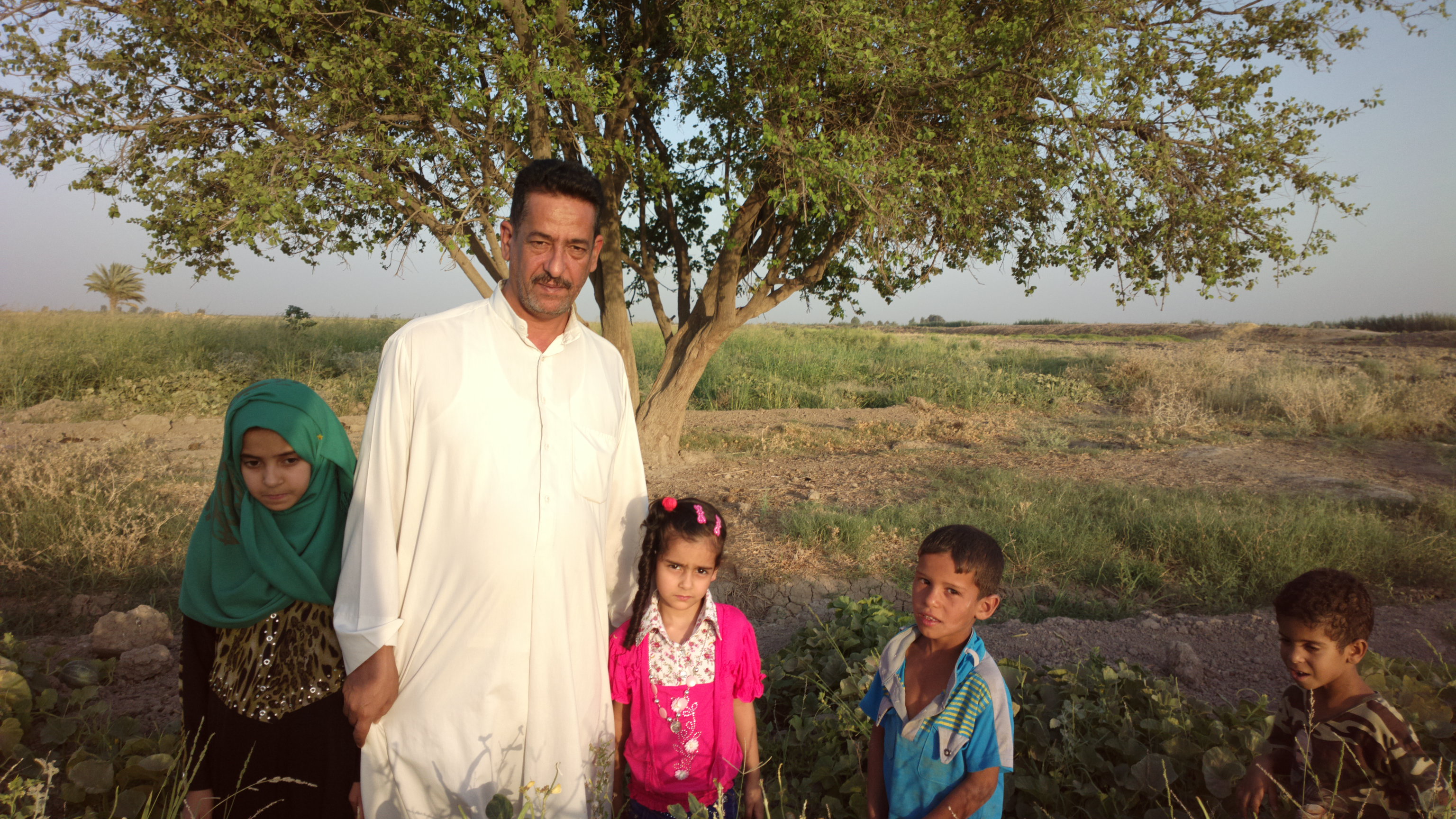
Related Photos:
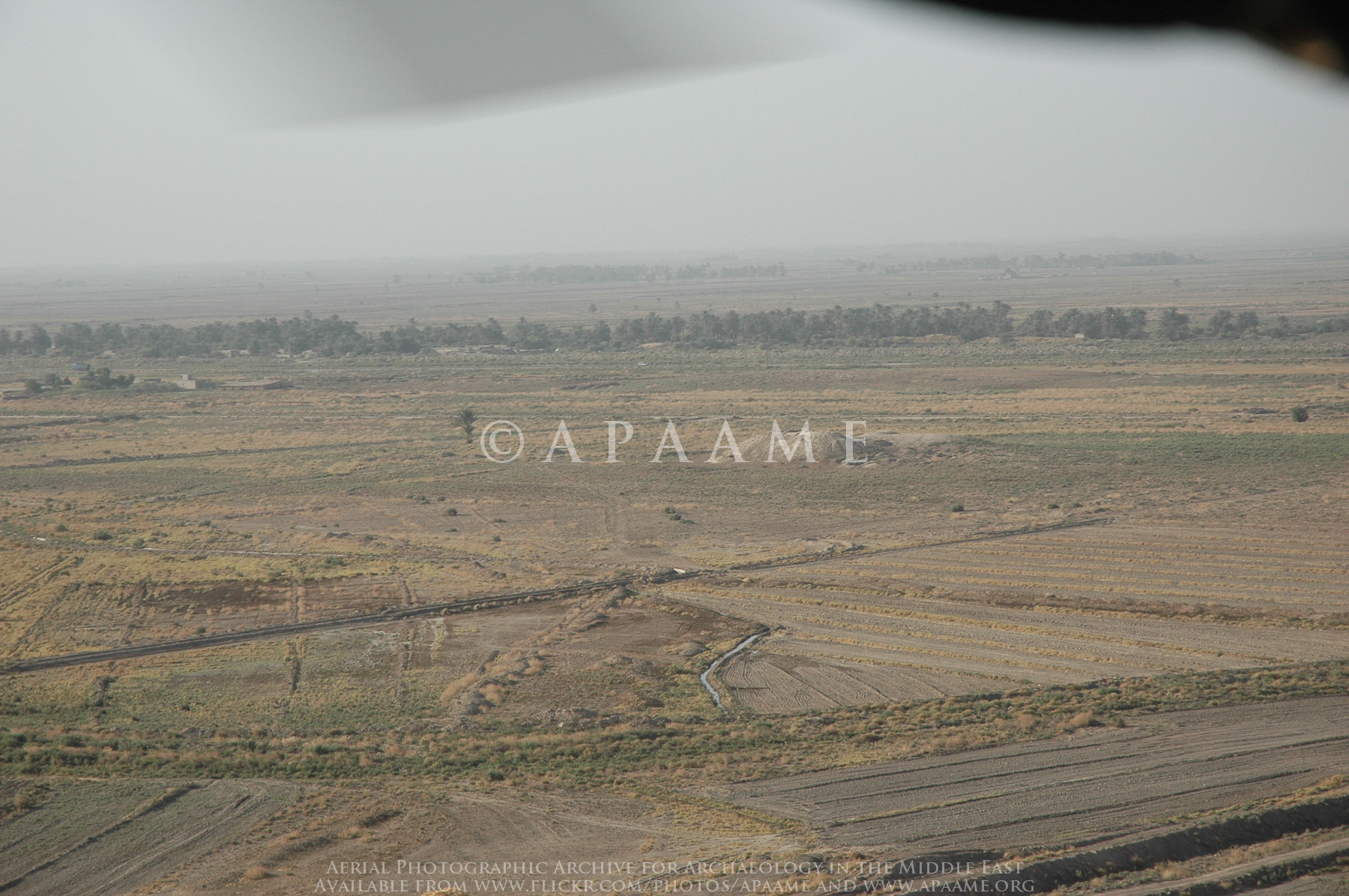
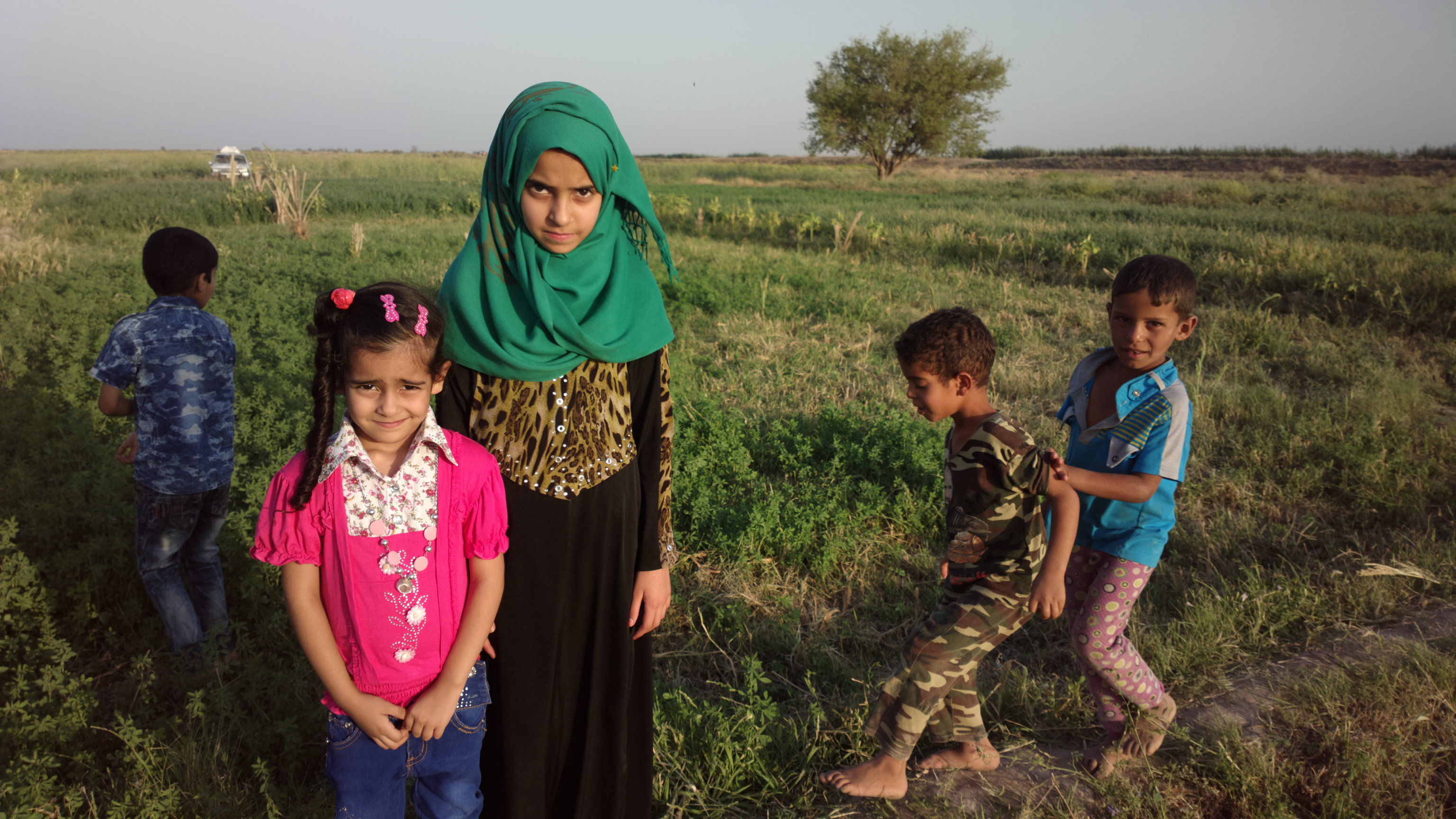
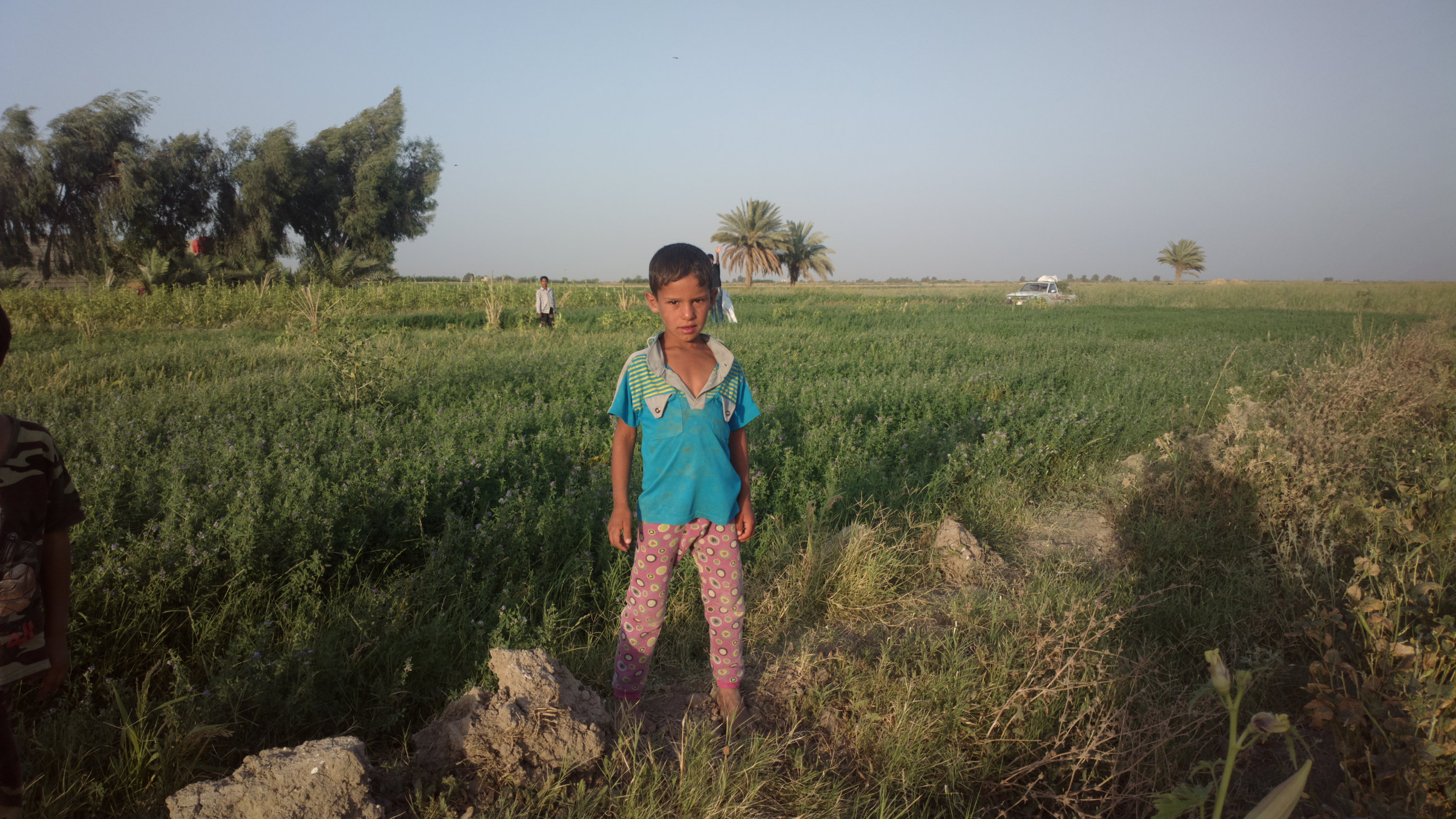
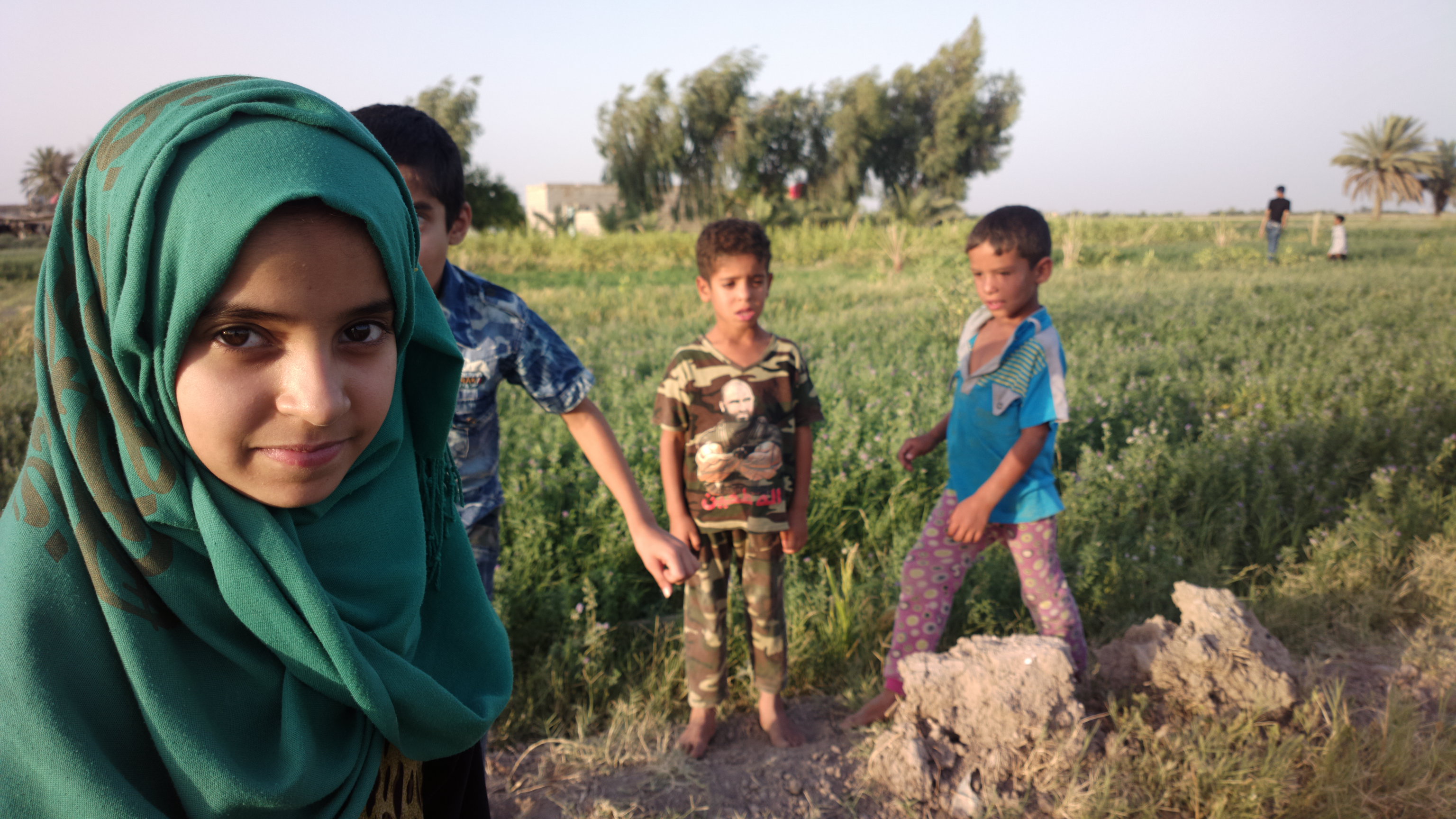
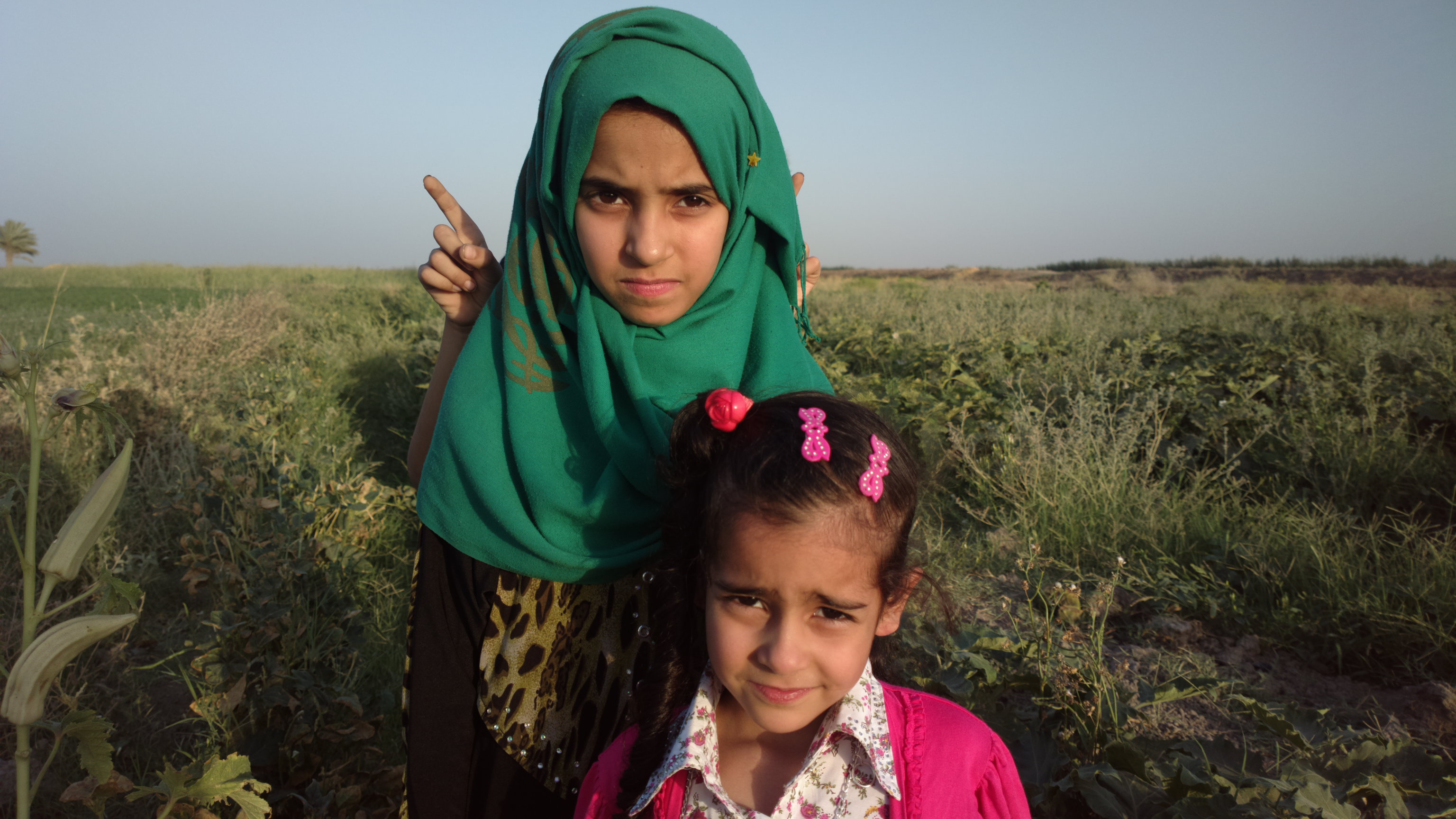
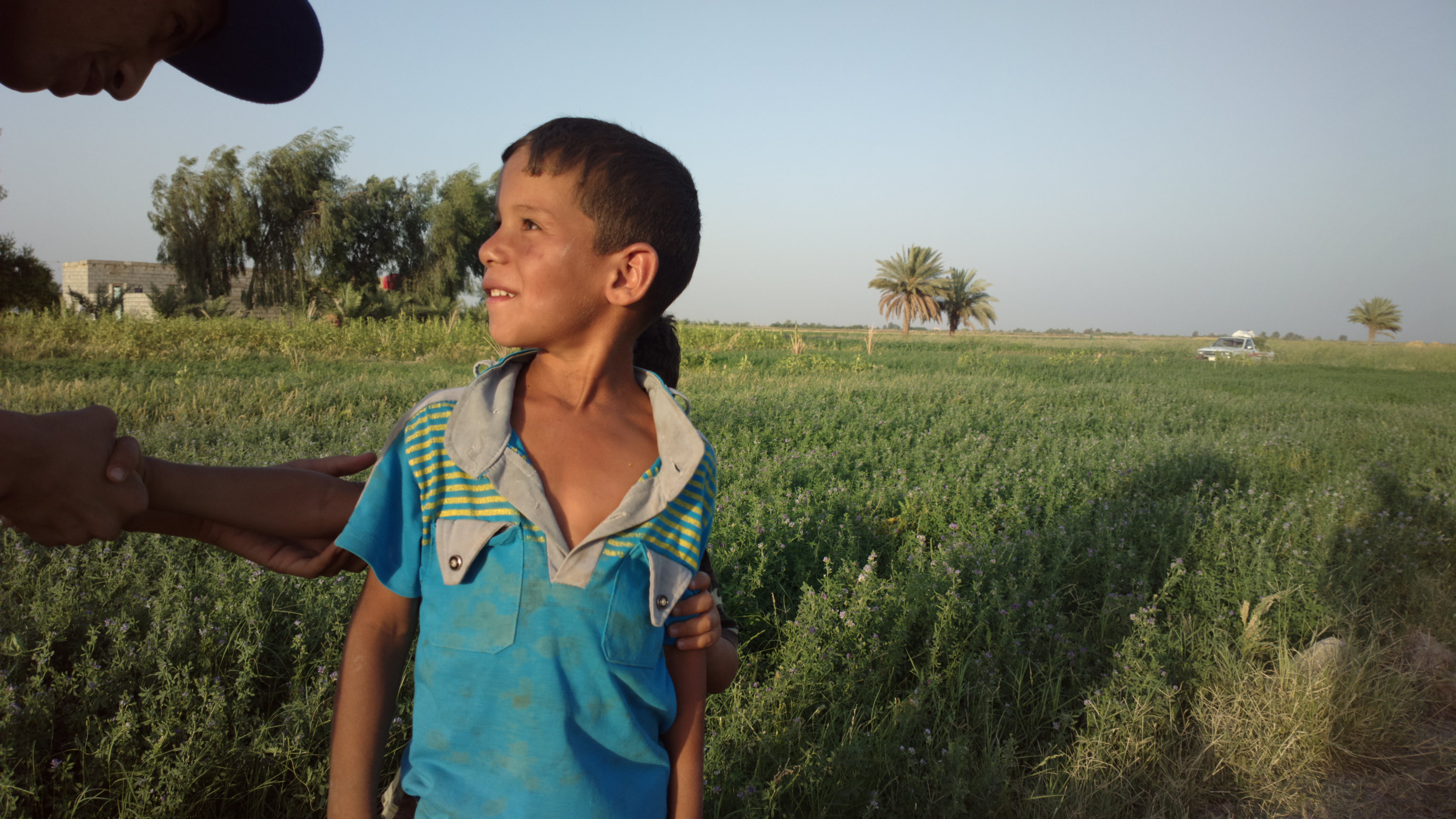
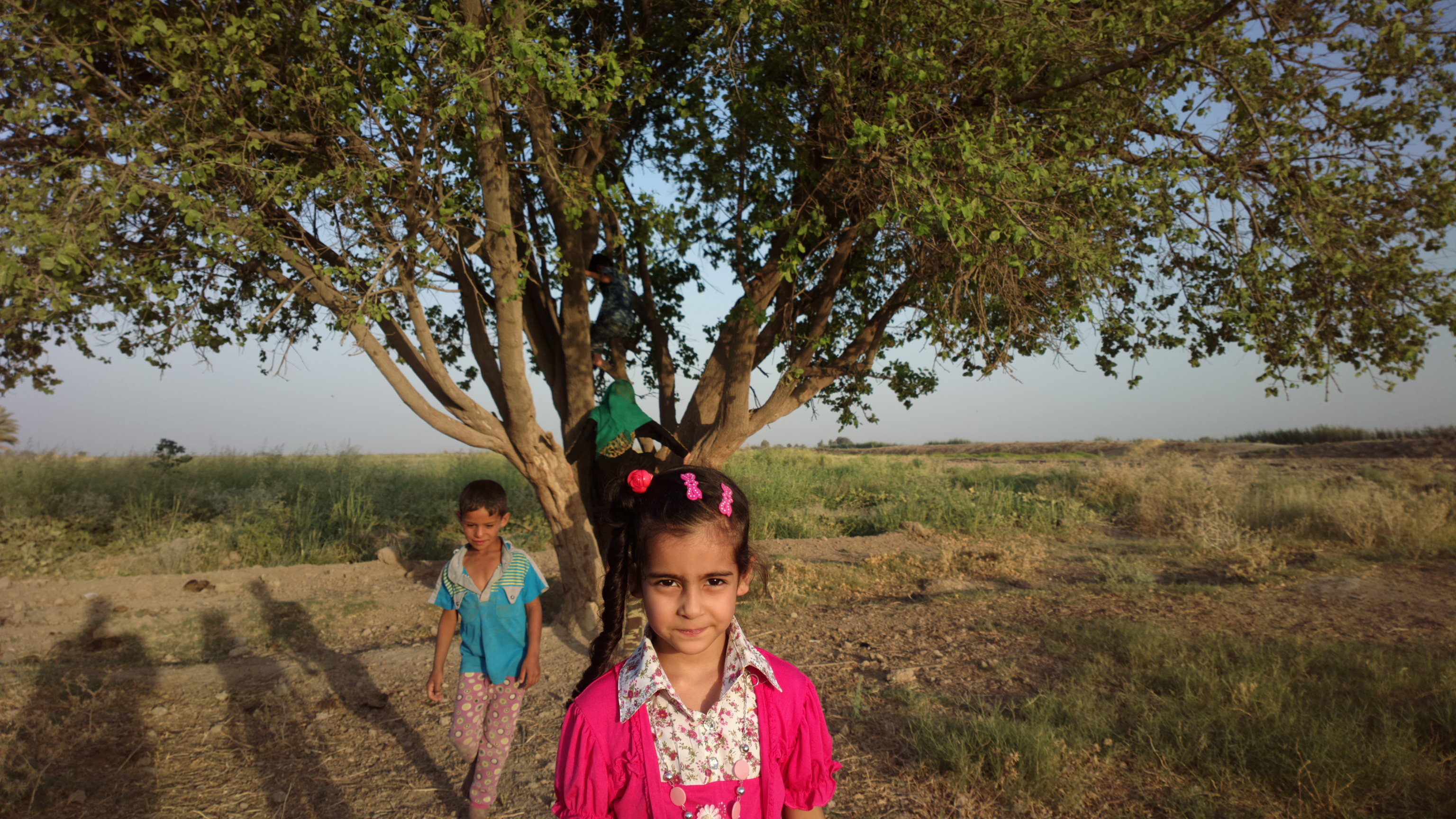
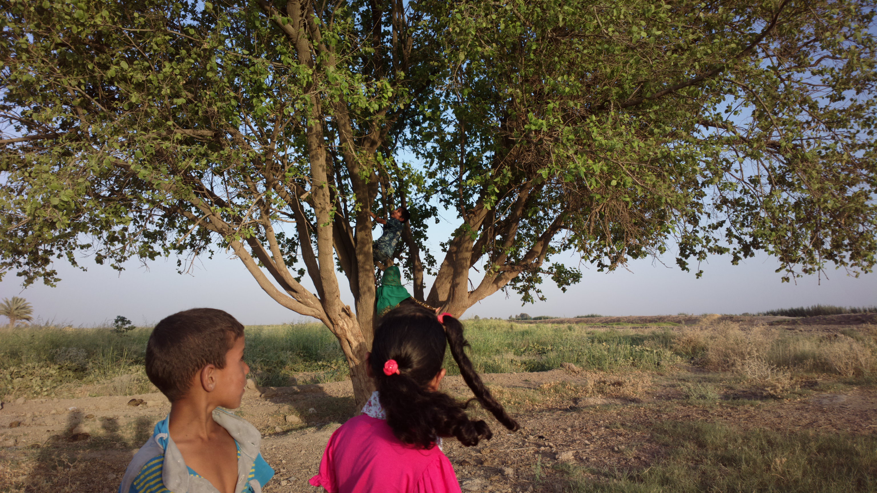
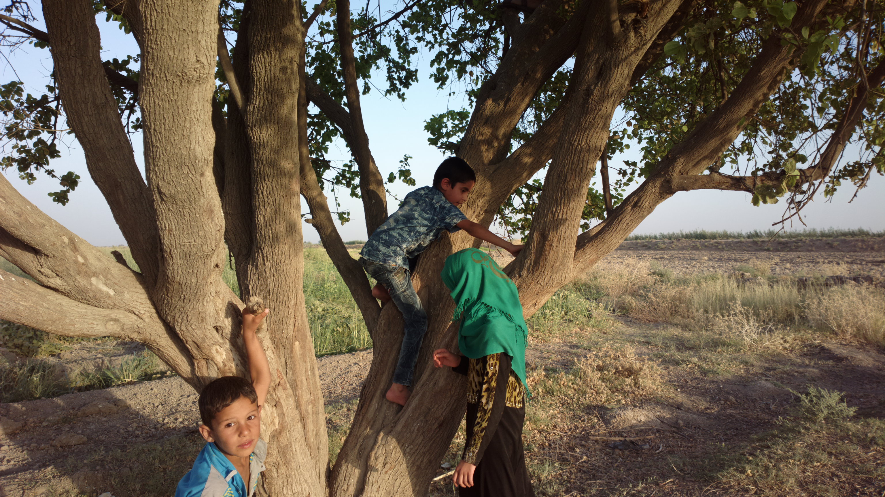
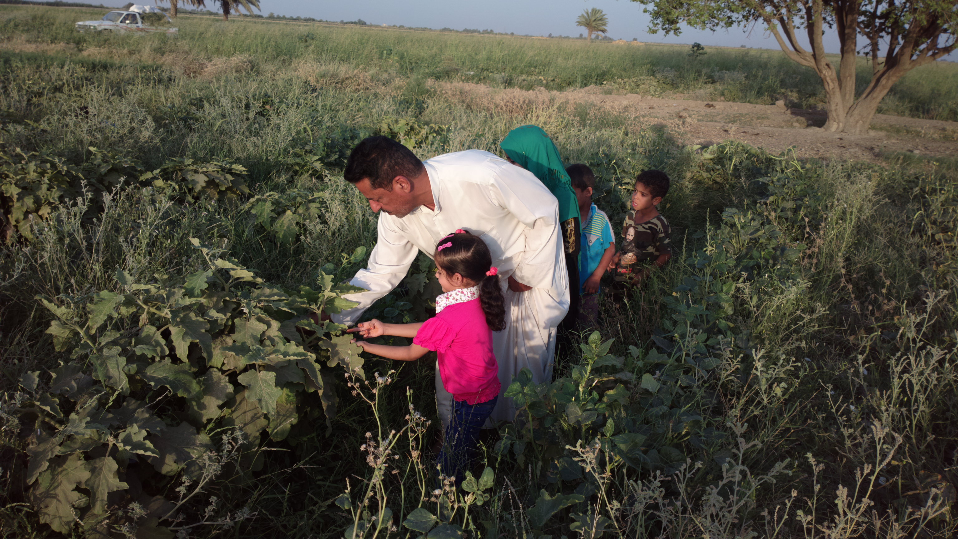
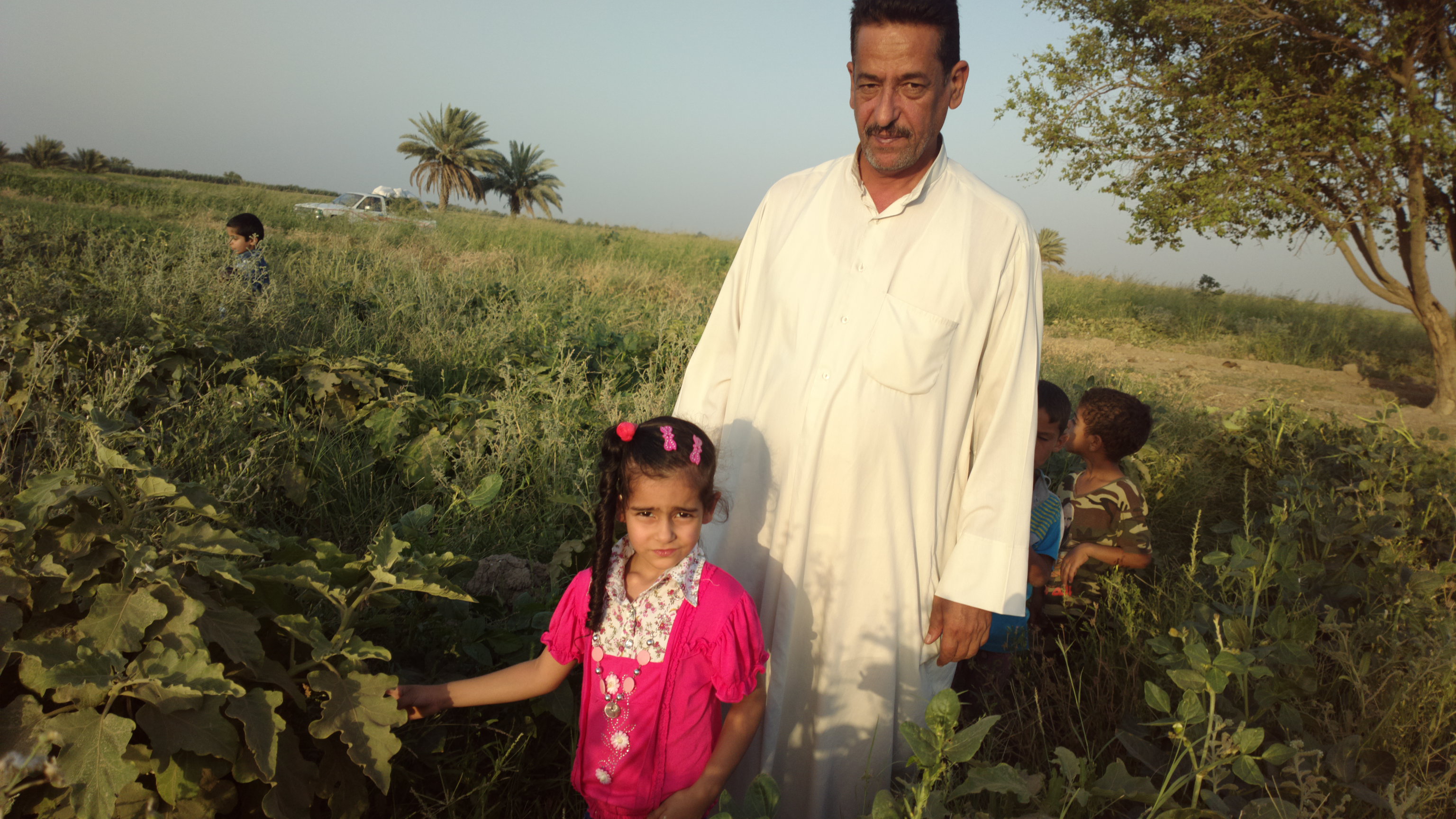
Tell Drehem (Puzrish-Dagan)

Tell Drehem (Puzrish-Dagan)
2015-07-05-1937
2015-07-05-1924
2015-07-05-1906
2015-07-05-1907
2015-07-05-1908
2015-07-05-1909

2015-07-05-1910
2015-07-05-1912
2015-07-05-1913
2015-07-05-1915
2015-07-05-1916
2015-07-05-1918

2015-07-05-1919

2015-07-05-1920
2015-07-05-1921
2015-07-05-1922

2015-07-05-1923
2015-07-05-1925
2015-07-05-1926
2015-07-05-1927
2015-07-05-1928
Topographic Map of Al-Qādisiyyah Governorate, Iraq
Find elevation by address:

Places in Al-Qādisiyyah Governorate, Iraq:
Places near Al-Qādisiyyah Governorate, Iraq:
Afaq
Tall Fa'rah
Al-rumaitha
الوركاء
Uruk
Al-khidhir
Uruk
ِal Nasiriyah Water Treatment Plant
البدعة
Shatrah
Al-shatra
Ancient Ruins Of Ur
Nasiriyah
Dhi Qar Governorate
Recent Searches:
- Elevation of Pykes Down, Ivybridge PL21 0BY, UK
- Elevation of Jalan Senandin, Lutong, Miri, Sarawak, Malaysia
- Elevation of Bilohirs'k
- Elevation of 30 Oak Lawn Dr, Barkhamsted, CT, USA
- Elevation of Luther Road, Luther Rd, Auburn, CA, USA
- Elevation of Unnamed Road, Respublika Severnaya Osetiya — Alaniya, Russia
- Elevation of Verkhny Fiagdon, North Ossetia–Alania Republic, Russia
- Elevation of F. Viola Hiway, San Rafael, Bulacan, Philippines
- Elevation of Herbage Dr, Gulfport, MS, USA
- Elevation of Lilac Cir, Haldimand, ON N3W 2G9, Canada