Elevation of AL-, Phil Campbell, AL, USA
Location: United States > Alabama > Franklin County > Phil Campbell >
Longitude: -87.665718
Latitude: 34.4032753
Elevation: 321m / 1053feet
Barometric Pressure: 98KPa
Elevation Map:
Satellite Map:
Related Photos:
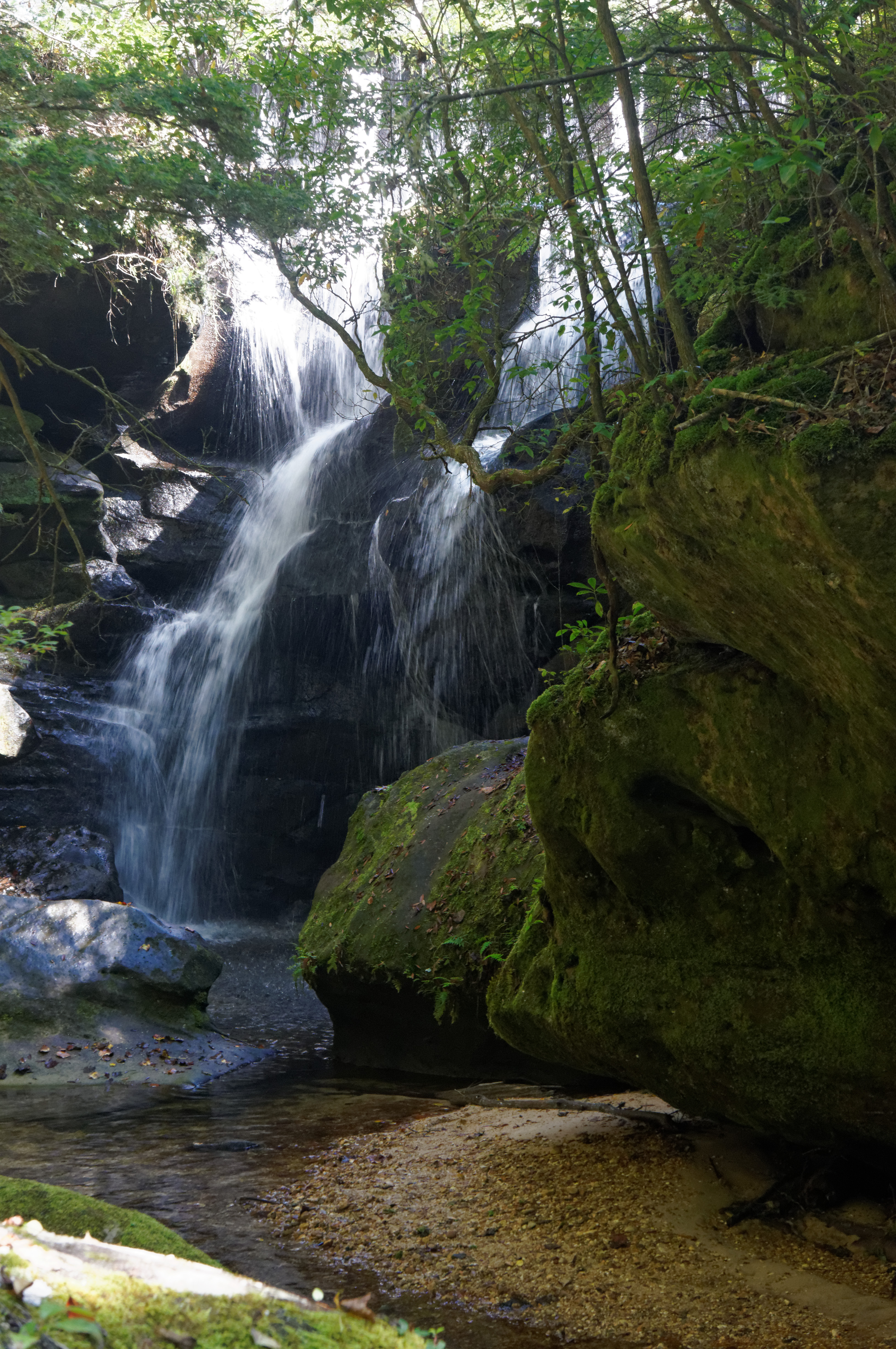
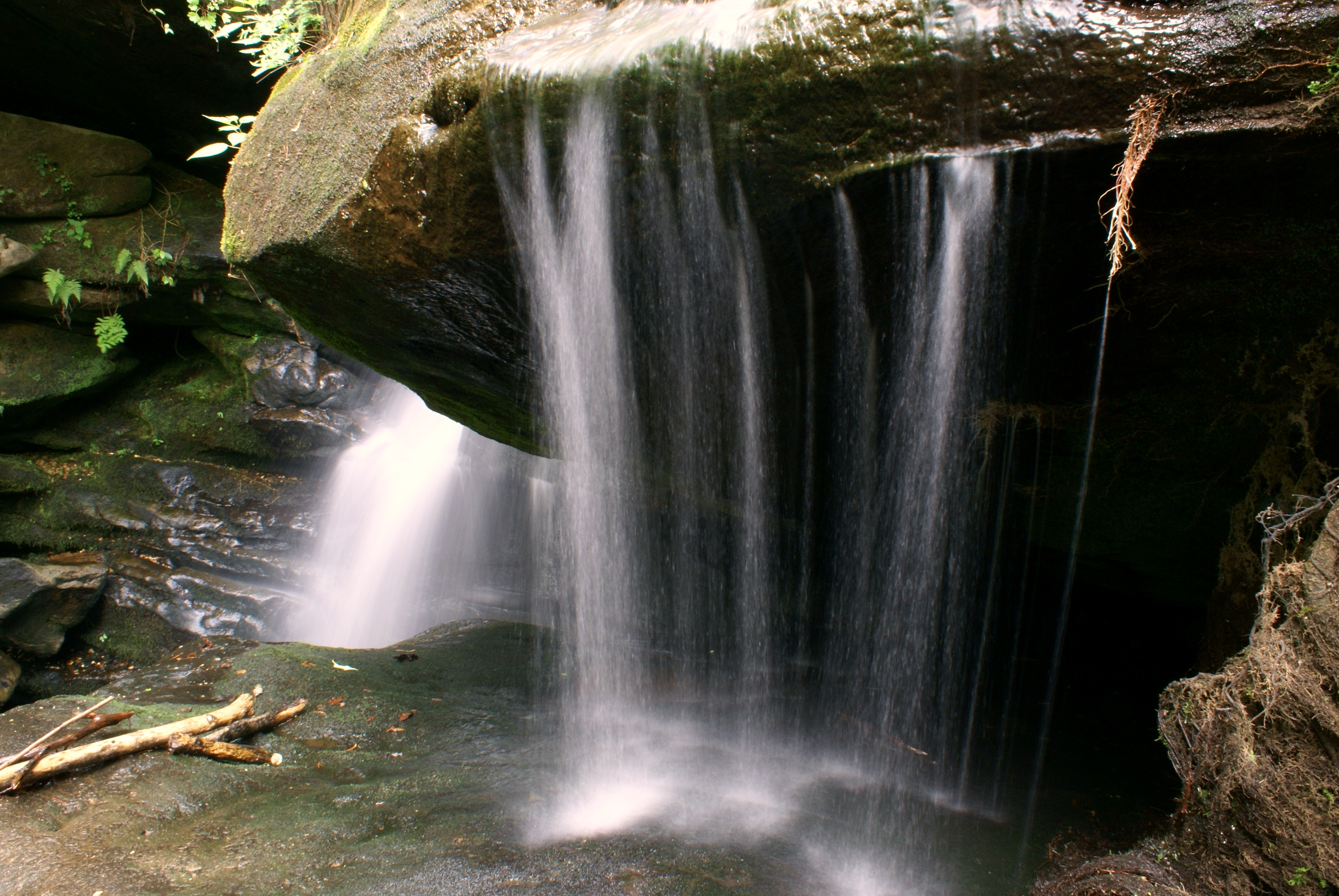
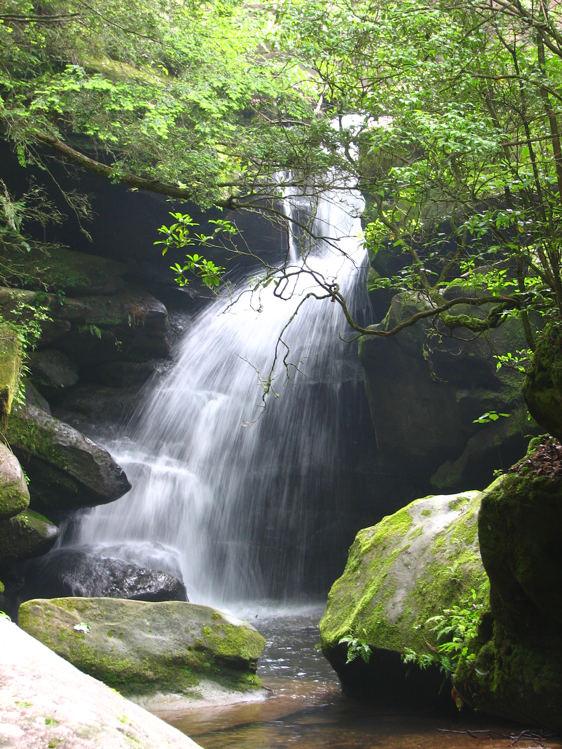
Rainbow falls
Lower Caney Creek Falls
Dismals Canyon bluff
DCFalls copy
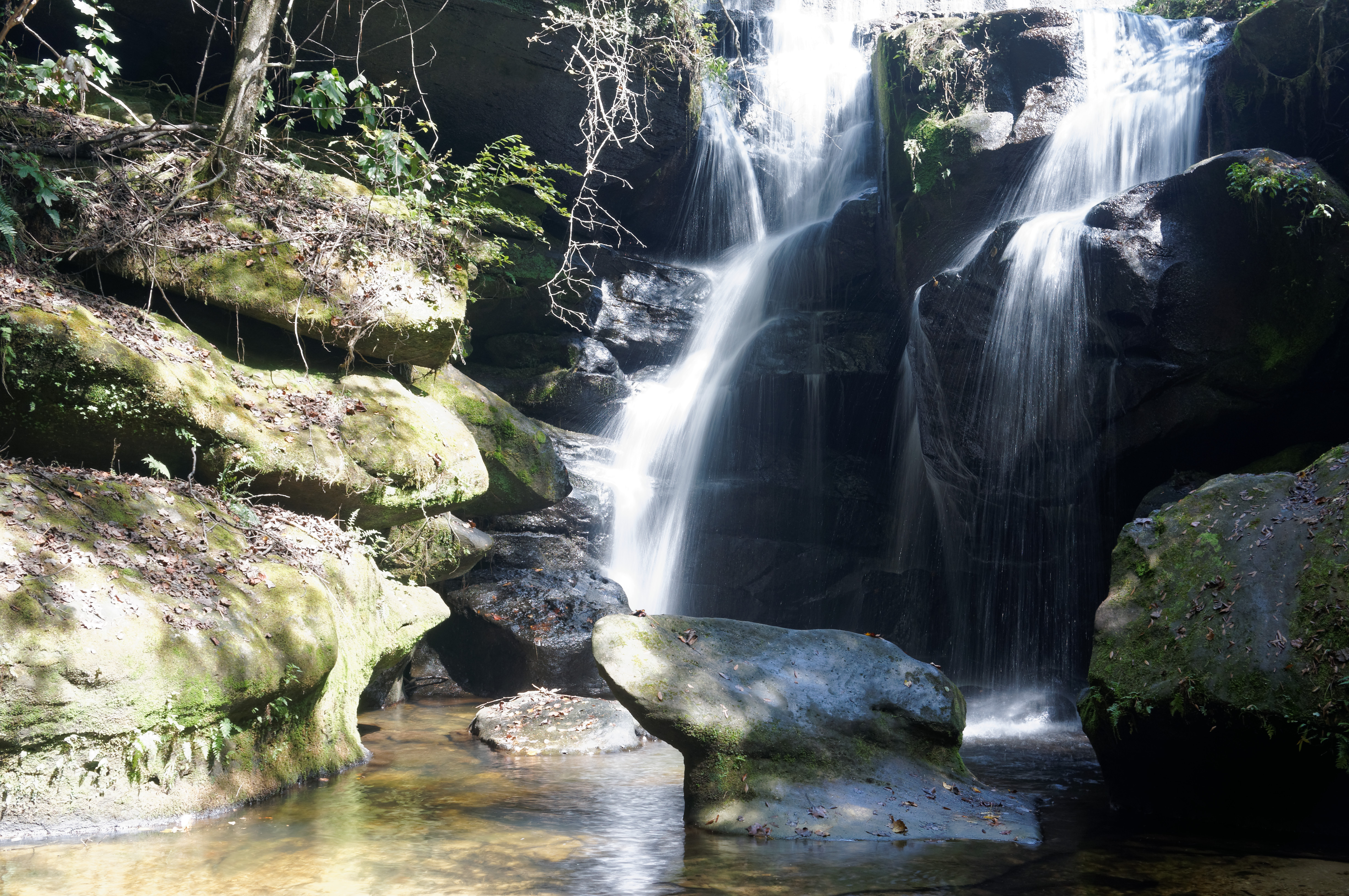
Rainbow Falls
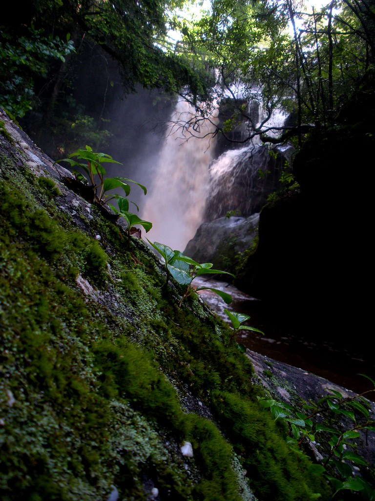
Falls at Head of Dismal's Canyon, Alabama

Around the Bend
Rocky Start
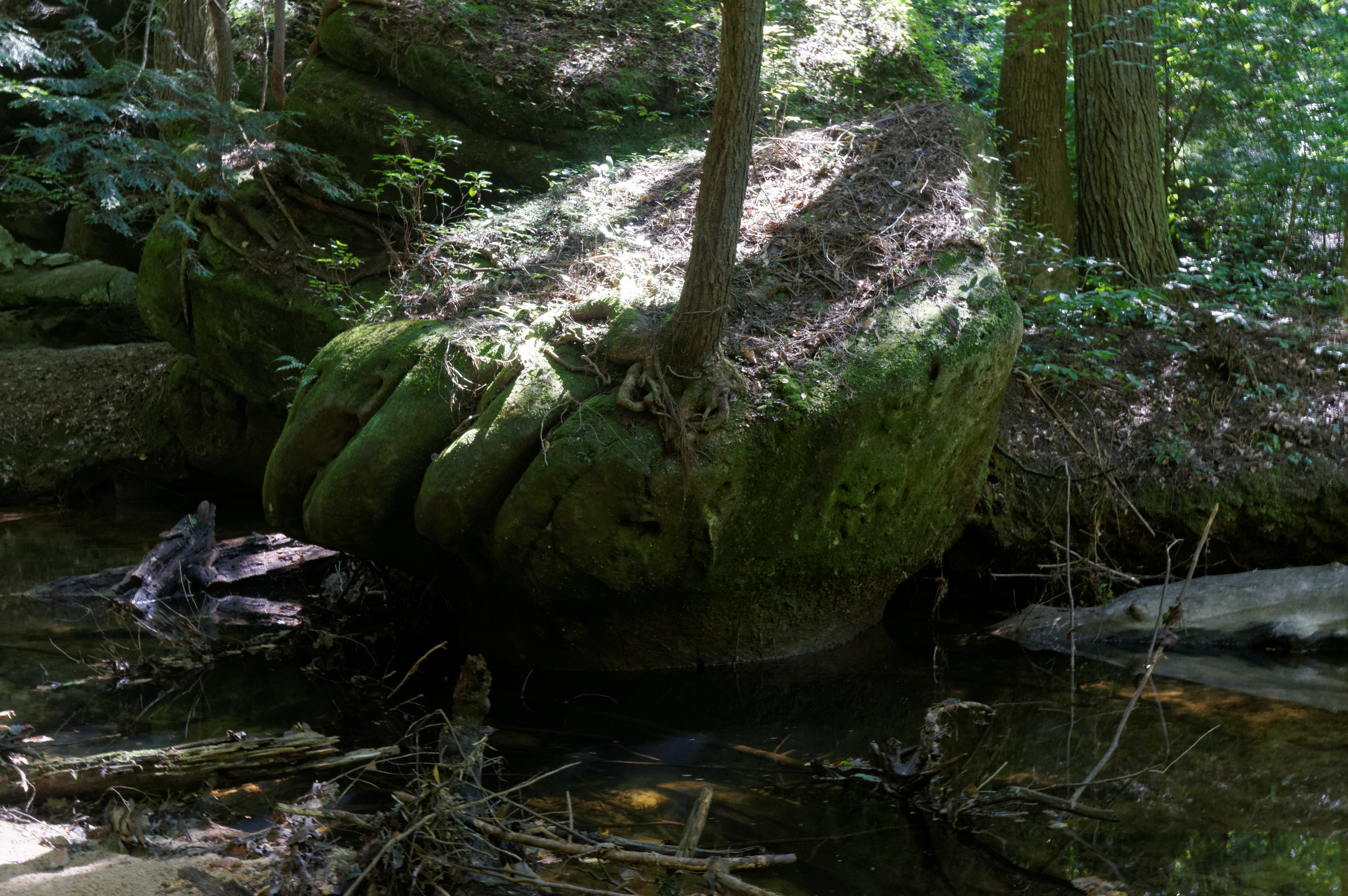
Dismal Fall
Blocked Path

Dance Hall
Don't go chasing waterfalls

Patches of Light

Dismals Canyon
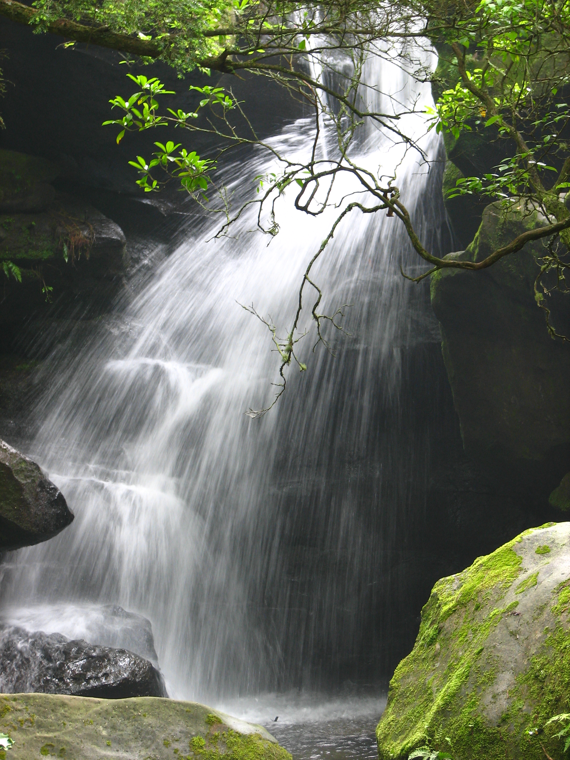
Rainbow Falls
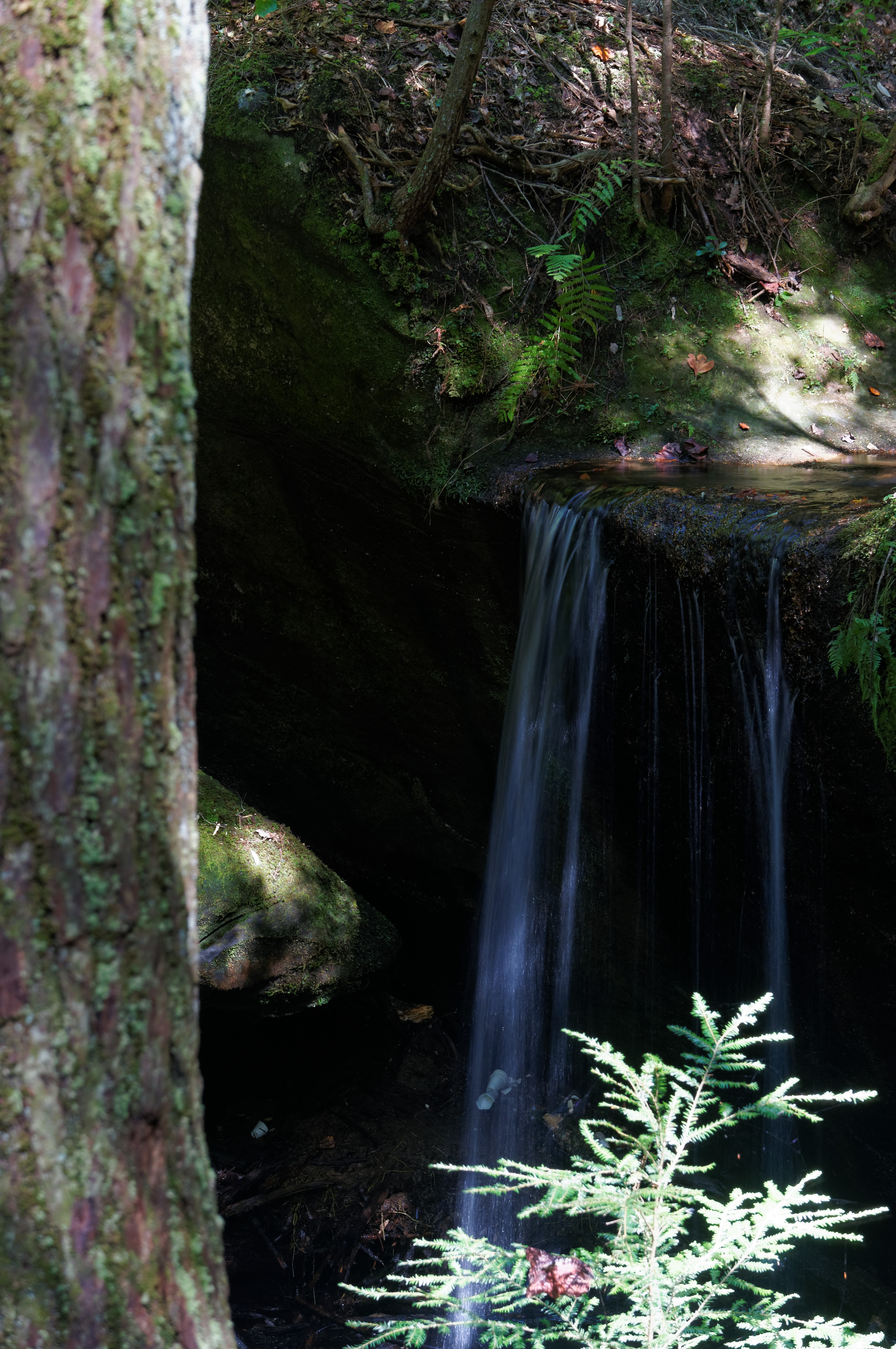
Secret Falls
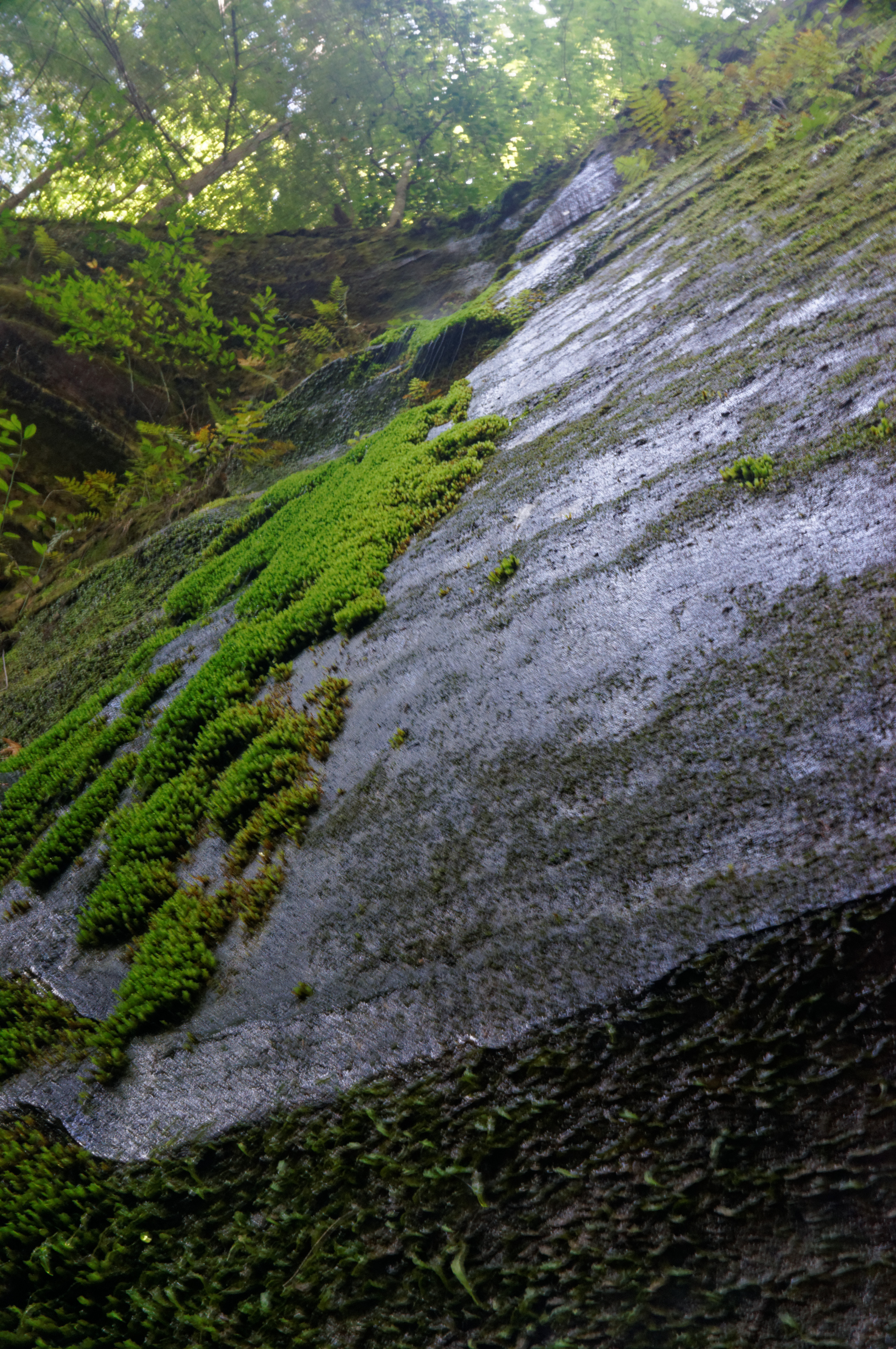
Weeping Bluff
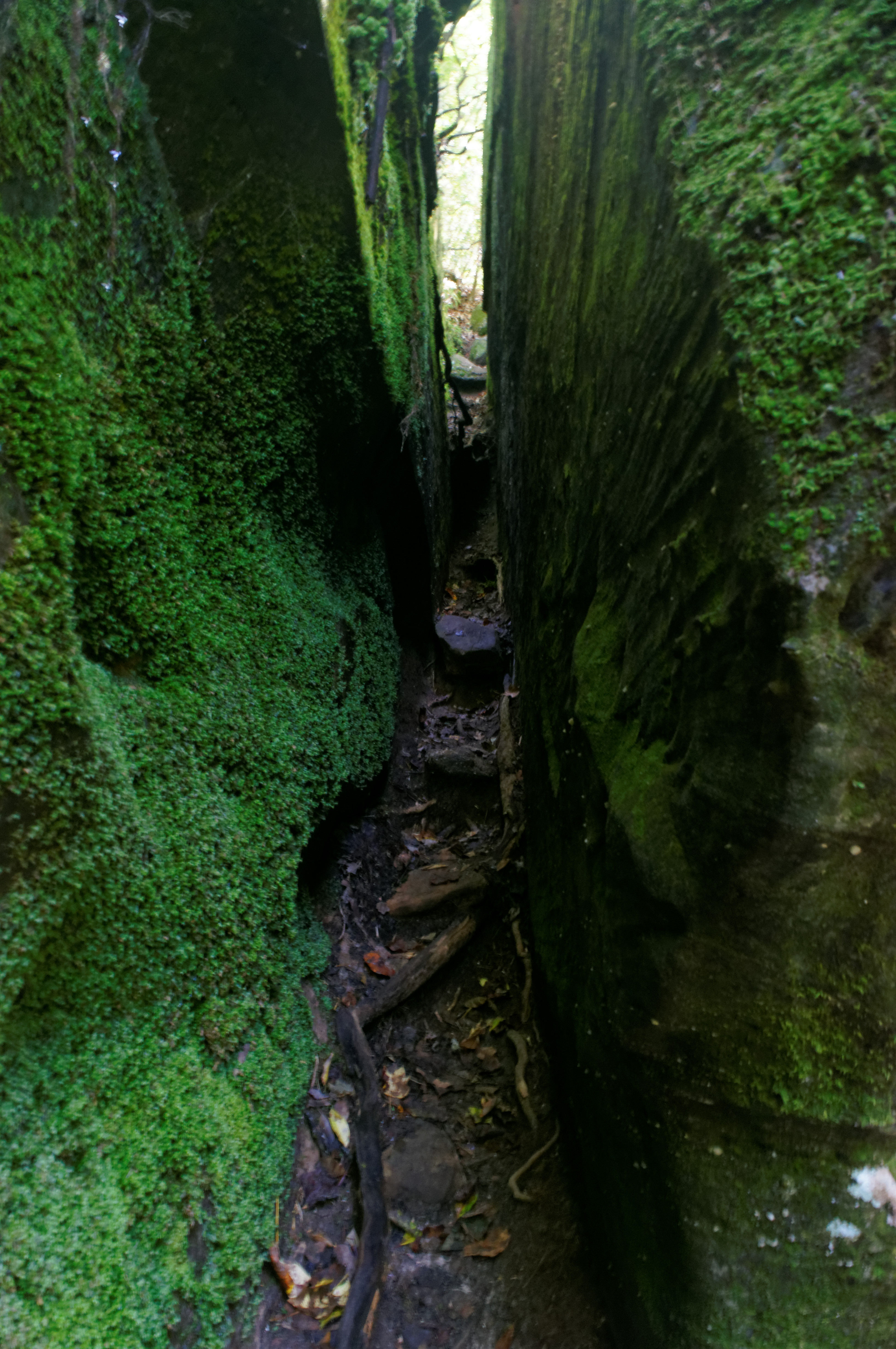
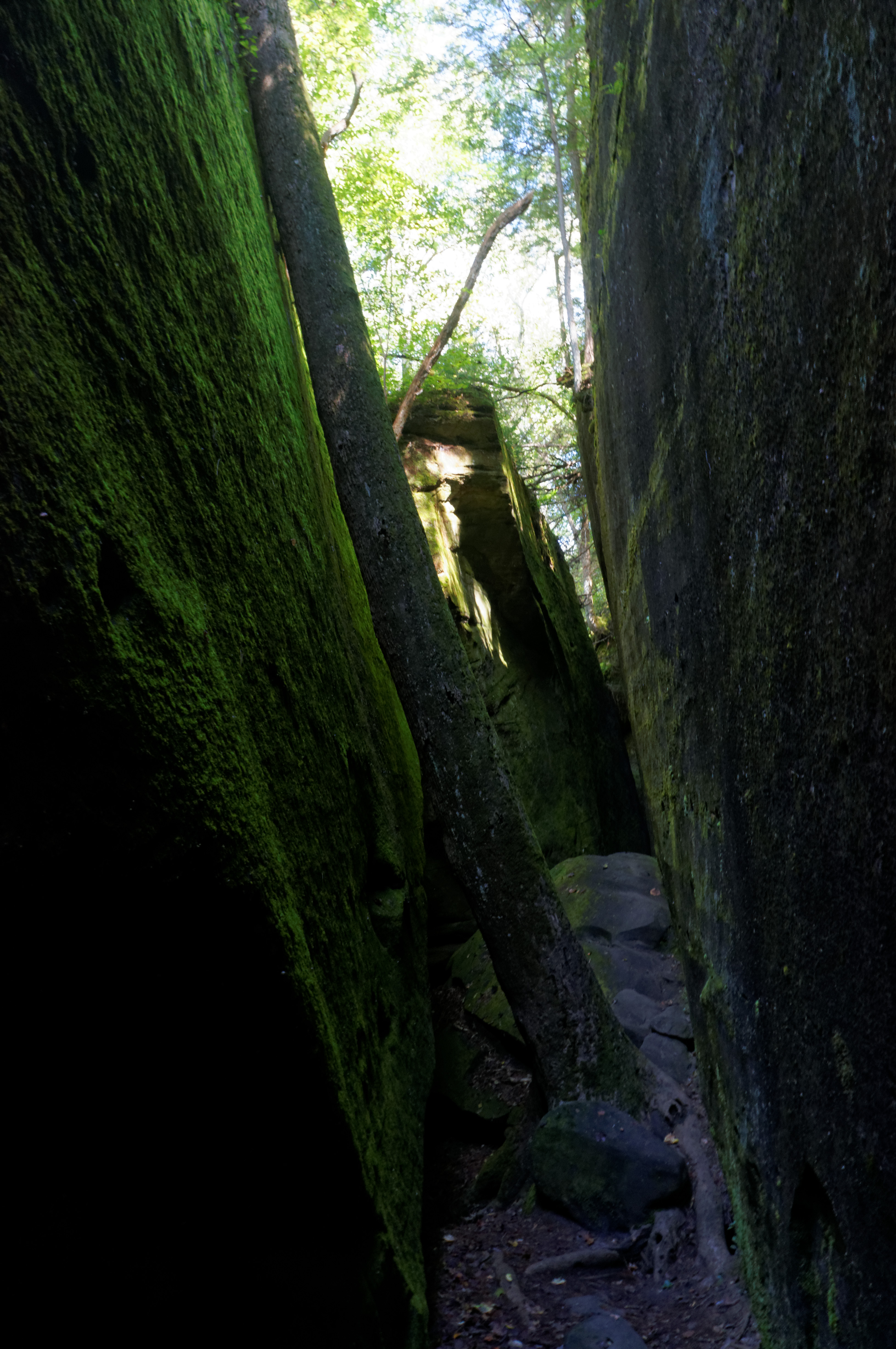
Tight Fit
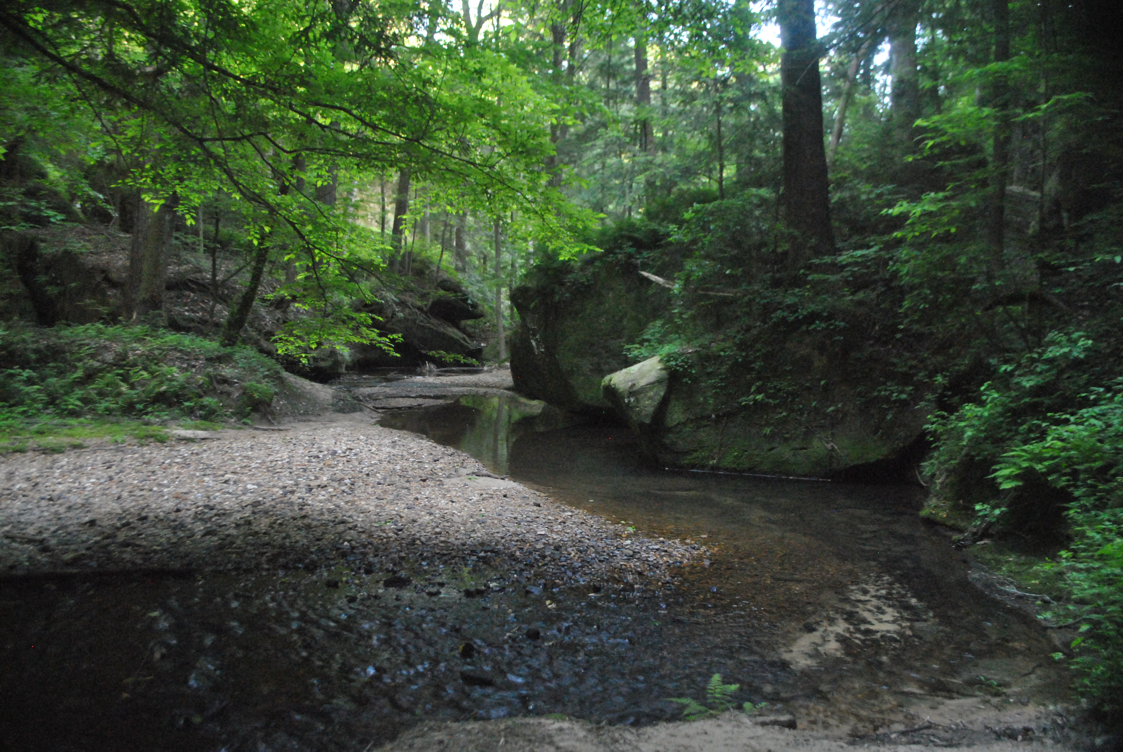
Dismal Branch
On the Edge

Rainbow Falls
Topographic Map of AL-, Phil Campbell, AL, USA
Find elevation by address:

Places near AL-, Phil Campbell, AL, USA:
Franklin County
County Rd 22, Spruce Pine, AL, USA
Spruce Pine
Phil Campbell
6847 Us-43
US-43, Russellville, AL, USA
County Rd 48, Russellville, AL, USA
US-43, Phil Campbell, AL, USA
Polk St, Russellville, AL, USA
Russellville
County Rd 93, Russellville, AL, USA
512 W Madison St
142 School Ave
142 School Ave
Bear Creek
531 High Ave
AL-, Bear Creek, AL, USA
Mountain Star Rd, Russellville, AL, USA
Posey Field
1287 County Rd 177
Recent Searches:
- Elevation of SW 57th Ave, Portland, OR, USA
- Elevation of Crocker Dr, Vacaville, CA, USA
- Elevation of Pu Ngaol Community Meeting Hall, HWHM+3X7, Krong Saen Monourom, Cambodia
- Elevation of Royal Ontario Museum, Queens Park, Toronto, ON M5S 2C6, Canada
- Elevation of Groblershoop, South Africa
- Elevation of Power Generation Enterprises | Industrial Diesel Generators, Oak Ave, Canyon Country, CA, USA
- Elevation of Chesaw Rd, Oroville, WA, USA
- Elevation of N, Mt Pleasant, UT, USA
- Elevation of 6 Rue Jules Ferry, Beausoleil, France
- Elevation of Sattva Horizon, 4JC6+G9P, Vinayak Nagar, Kattigenahalli, Bengaluru, Karnataka, India