Elevation map of Al-Khidhir, Iraq
Location: Iraq > Al Muthanna Governorate >
Longitude: 45.5251982
Latitude: 31.261174
Elevation: 11m / 36feet
Barometric Pressure: 101KPa
Elevation Map:
Satellite Map:
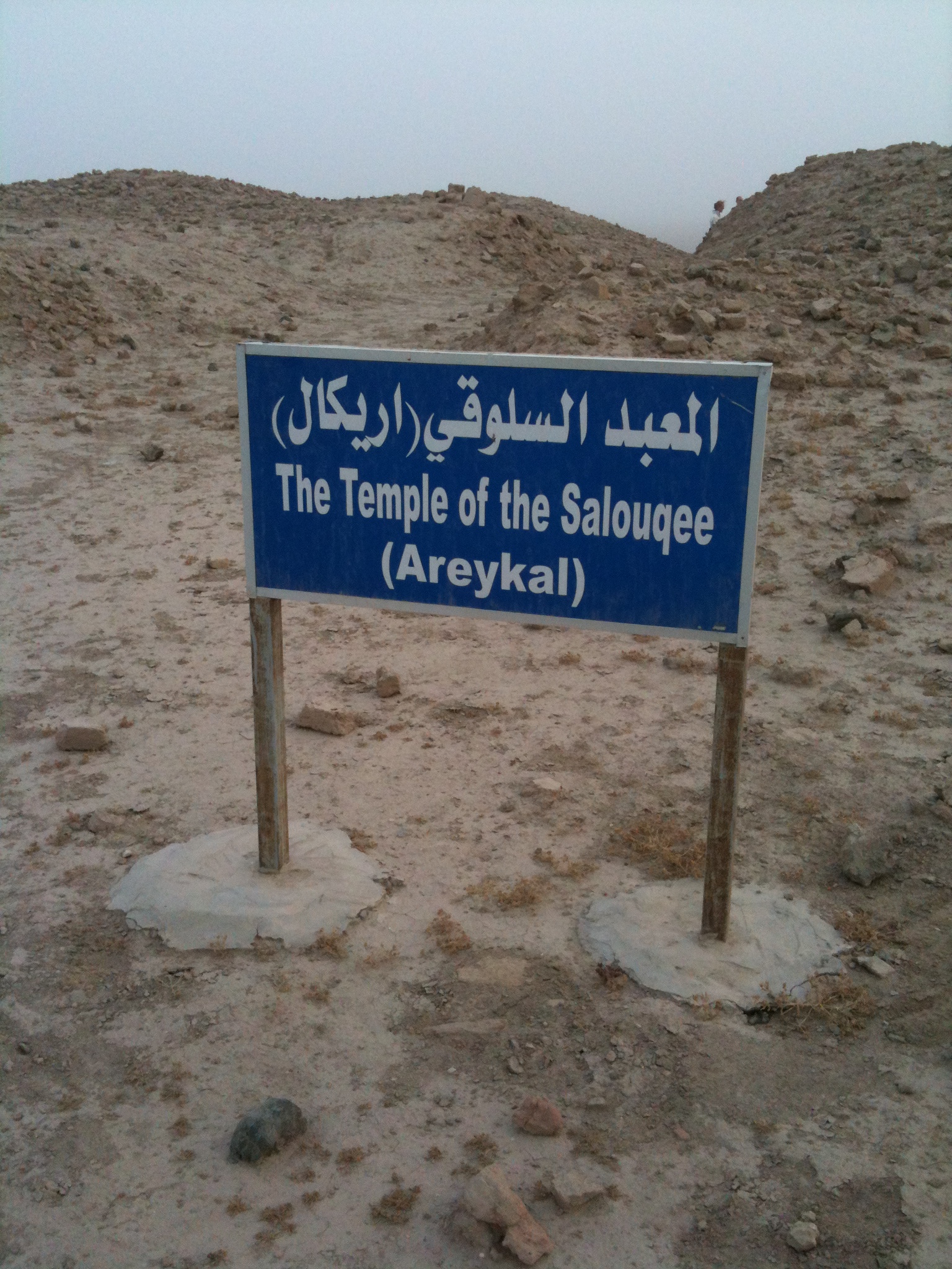
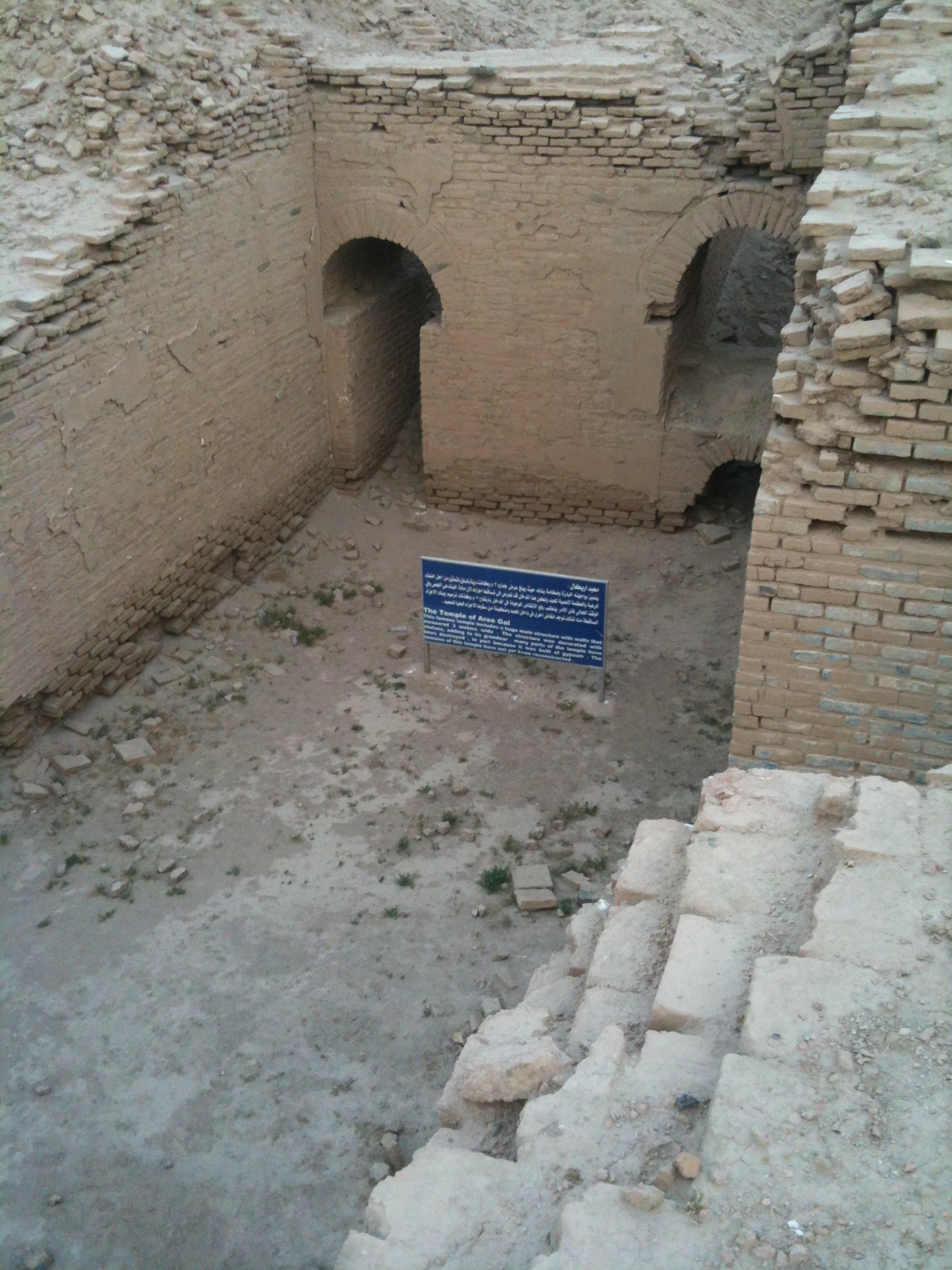
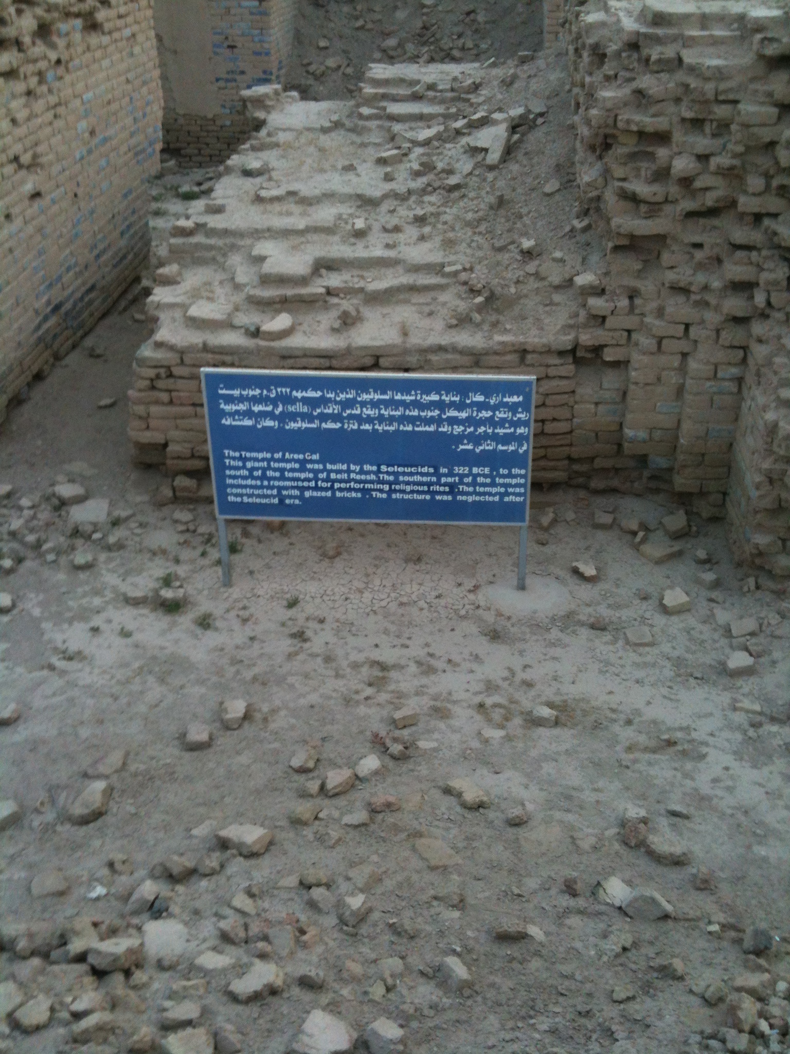
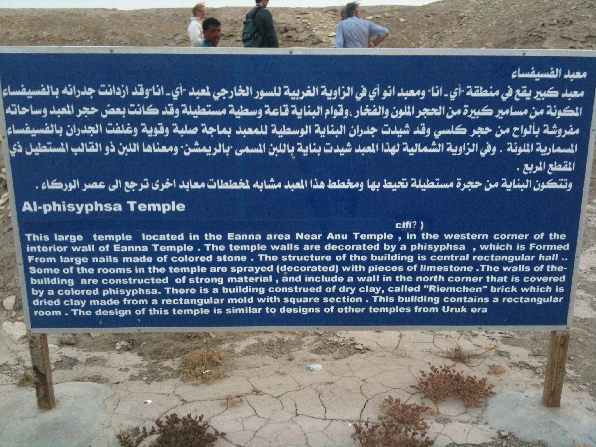
Related Photos:

2013-04-16 001 2013-04-16 025
2013-04-16 001 2013-04-16 030
2013-04-16 001 2013-04-16 016
2013-04-16 001 2013-04-16 017
2013-04-16 001 2013-04-16 018
2013-04-16 001 2013-04-16 019
2013-04-16 001 2013-04-16 024
2013-04-16 001 2013-04-16 026

2013-04-16 001 2013-04-16 027
2013-04-16 001 2013-04-16 031
2013-04-16 001 2013-04-16 032
2013-04-16 001 2013-04-16 033
2013-04-16 001 2013-04-16 034
2013-04-16 001 2013-04-16 035
Topographic Map of Al-Khidhir, Iraq
Find elevation by address:

Places near Al-Khidhir, Iraq:
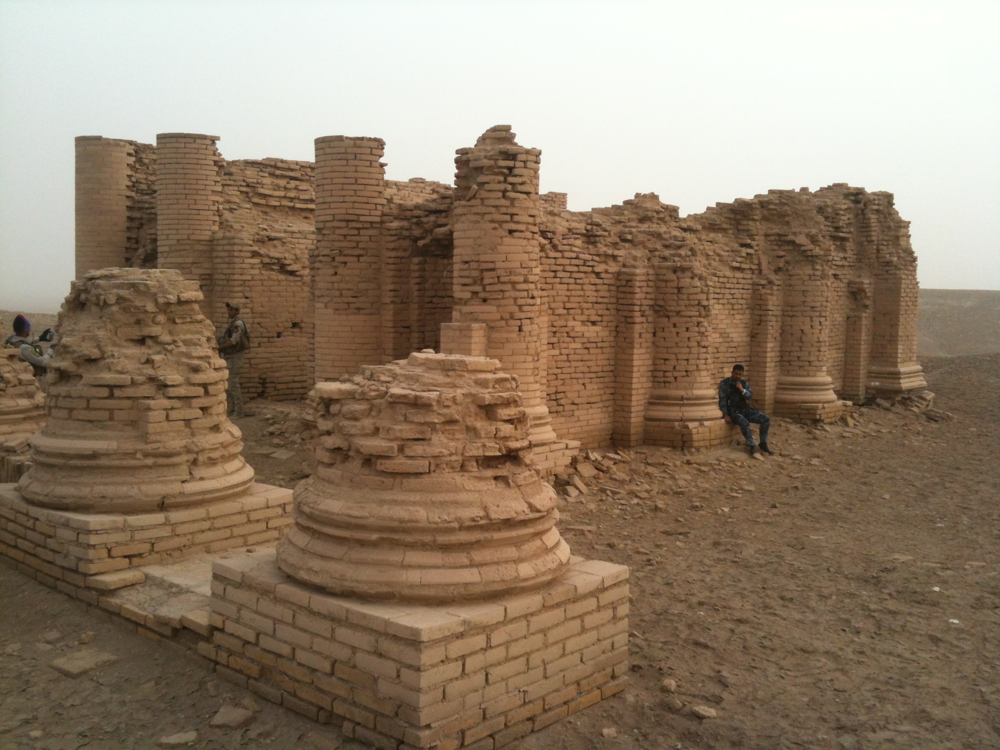
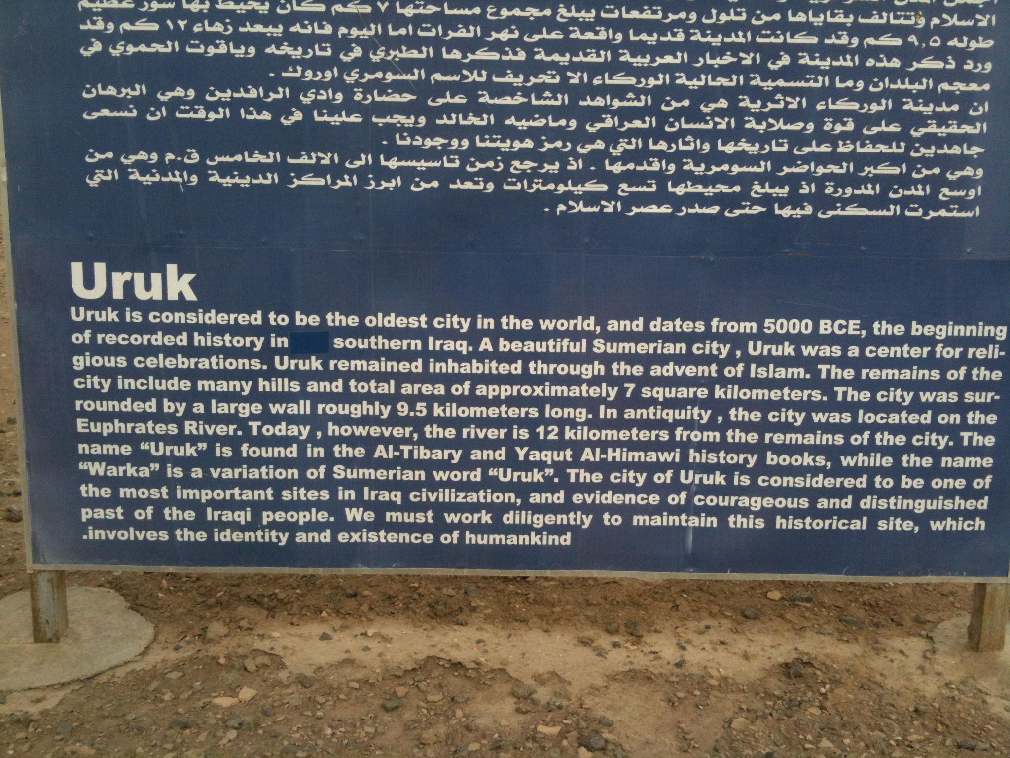
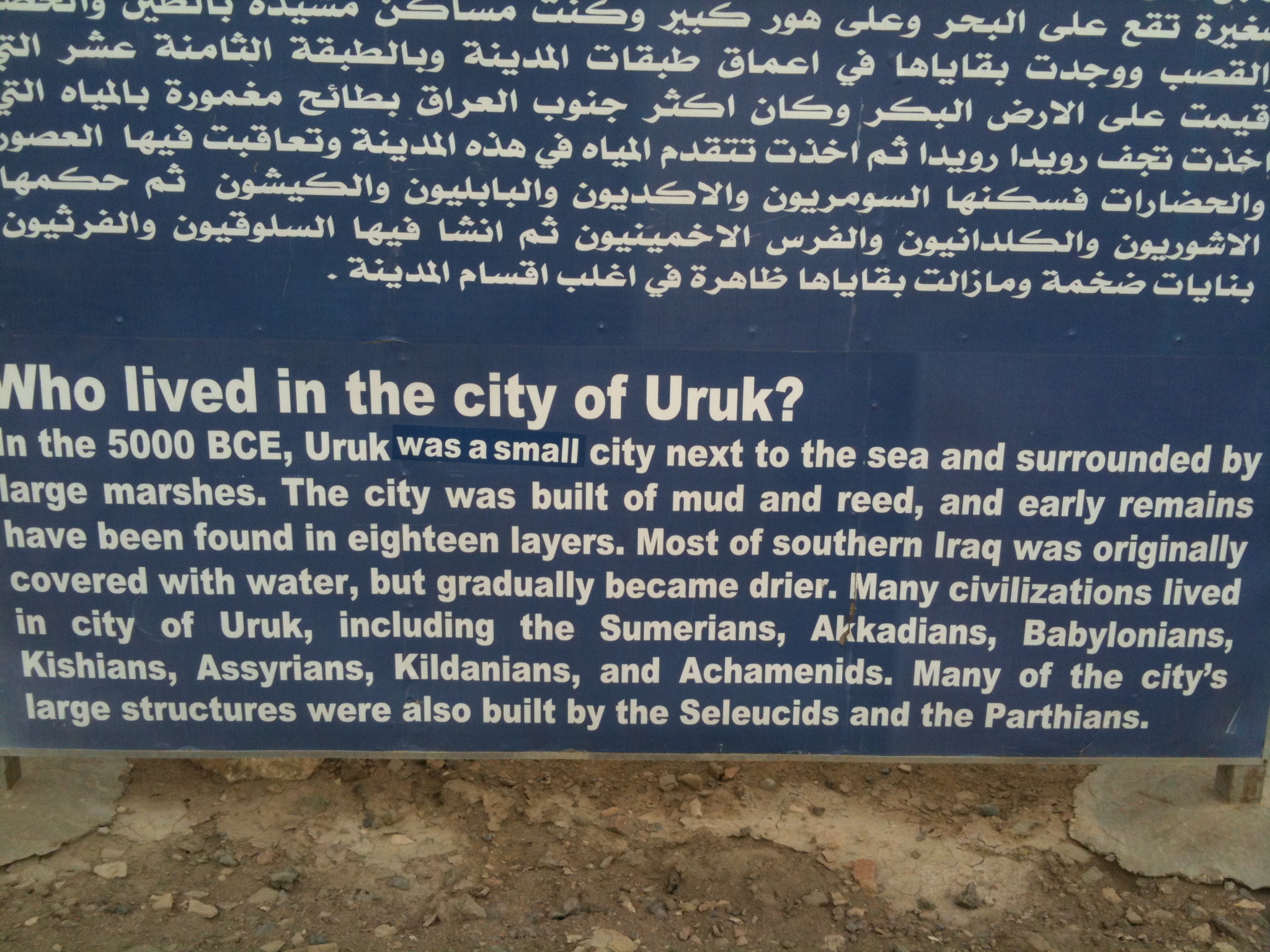
Uruk
الوركاء
Al-rumaitha
Uruk
Tall Fa'rah
Ancient Ruins Of Ur
ِal Nasiriyah Water Treatment Plant
Shatrah
البدعة
Afaq
Nasiriyah
Al-shatra
Dhi Qar Governorate
Al-qādisiyyah Governorate
Recent Searches:
- Elevation of Griffing Blvd, Biscayne Park, FL, USA
- Elevation of Kreuzburger Weg 13, Düsseldorf, Germany
- Elevation of Gateway Blvd SE, Canton, OH, USA
- Elevation of East W.T. Harris Boulevard, E W.T. Harris Blvd, Charlotte, NC, USA
- Elevation of West Sugar Creek, Charlotte, NC, USA
- Elevation of Wayland, NY, USA
- Elevation of Steadfast Ct, Daphne, AL, USA
- Elevation of Lagasgasan, X+CQH, Tiaong, Quezon, Philippines
- Elevation of Rojo Ct, Atascadero, CA, USA
- Elevation of Flagstaff Drive, Flagstaff Dr, North Carolina, USA