Elevation map of Al Buraymi Governorate, Oman
Location: Oman >
Longitude: 56.1142253
Latitude: 24.1671413
Elevation: 654m / 2146feet
Barometric Pressure: 94KPa
Elevation Map:
Satellite Map:
Related Photos:

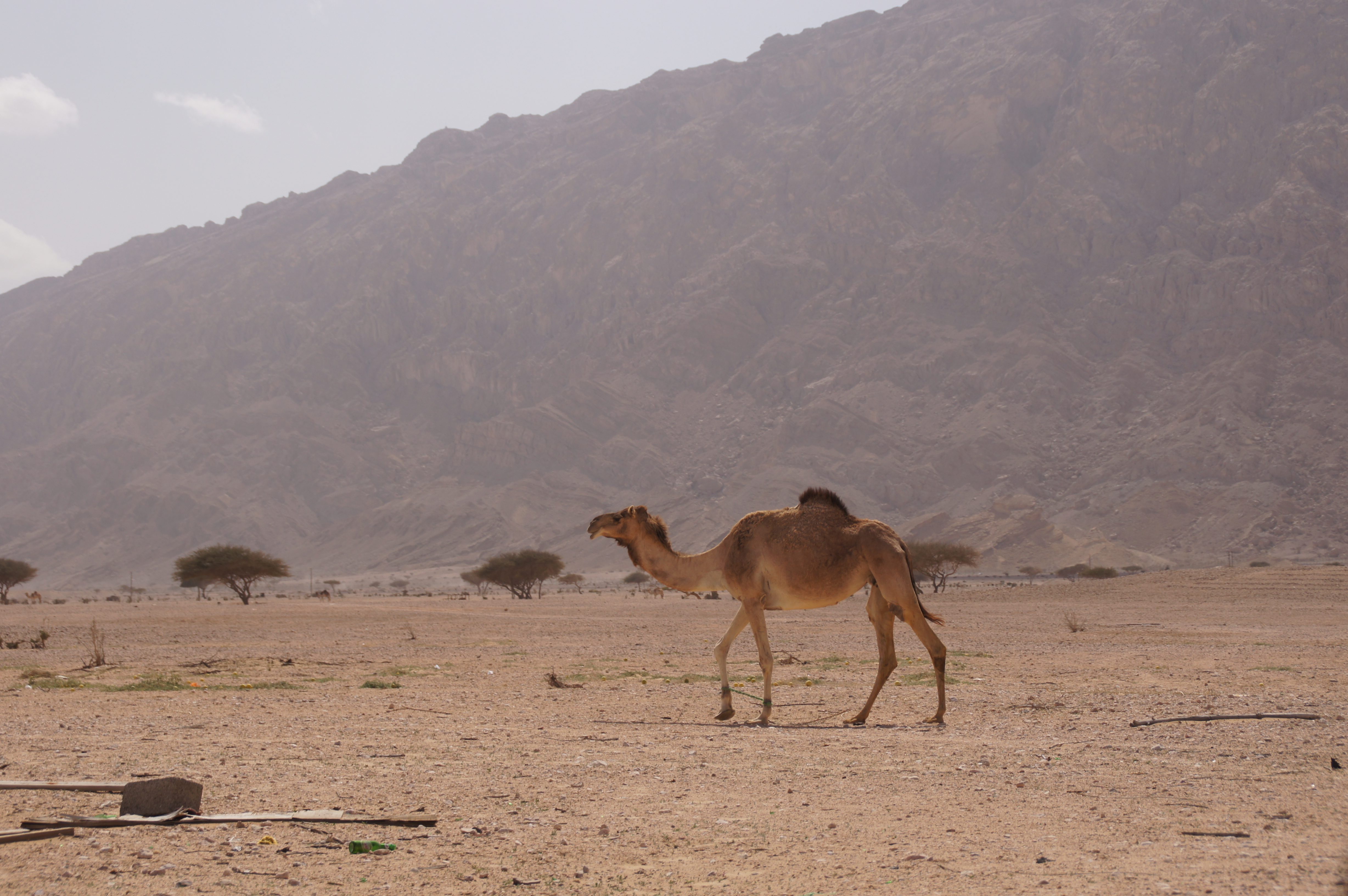
Hajar Home

Wadi Camp

Oman - 2015-0868a

Oman - 2015-1446a

Oman - 2015-1447a

Wadi Greens

Day Two

Day Two
Day Two

Day Two

Day Two

Day Two

Day Two
Topographic Map of Al Buraymi Governorate, Oman
Find elevation by address:

Places near Al Buraymi Governorate, Oman:
Al Buraimi
Al Ain
Jebel Hafeet
Al Buraimi Oman
Jebel Hafeet
Alain National العين الوطنية
Hatta Green Lake
Hatta
Ja Hatta Fort Hotel
Masfoot
Sayh Mudayrah
Fili
Jebel Buhais
Sharjah
Maleha
Sharjah-kalba Road
Dubai
Shis
Wadi Shees
Al Aweer
Recent Searches:
- Elevation of 3 Nestling Wood Dr, Long Valley, NJ, USA
- Elevation of Ilungu, Tanzania
- Elevation of Yellow Springs Road, Yellow Springs Rd, Chester Springs, PA, USA
- Elevation of Rēzekne Municipality, Latvia
- Elevation of Plikpūrmaļi, Vērēmi Parish, Rēzekne Municipality, LV-, Latvia
- Elevation of 2 Henschke Ct, Caboolture QLD, Australia
- Elevation of Redondo Ave, Long Beach, CA, USA
- Elevation of Sadovaya Ulitsa, 20, Rezh, Sverdlovskaya oblast', Russia
- Elevation of Ulitsa Kalinina, 79, Rezh, Sverdlovskaya oblast', Russia
- Elevation of 72-31 Metropolitan Ave, Middle Village, NY, USA