Elevation of Akuressa, Sri Lanka
Location: Sri Lanka > Southern Province > Matara >
Longitude: 80.4759567
Latitude: 6.1001388
Elevation: 11m / 36feet
Barometric Pressure: 101KPa
Elevation Map:
Satellite Map:
Related Photos:
DJI_0024 04.19
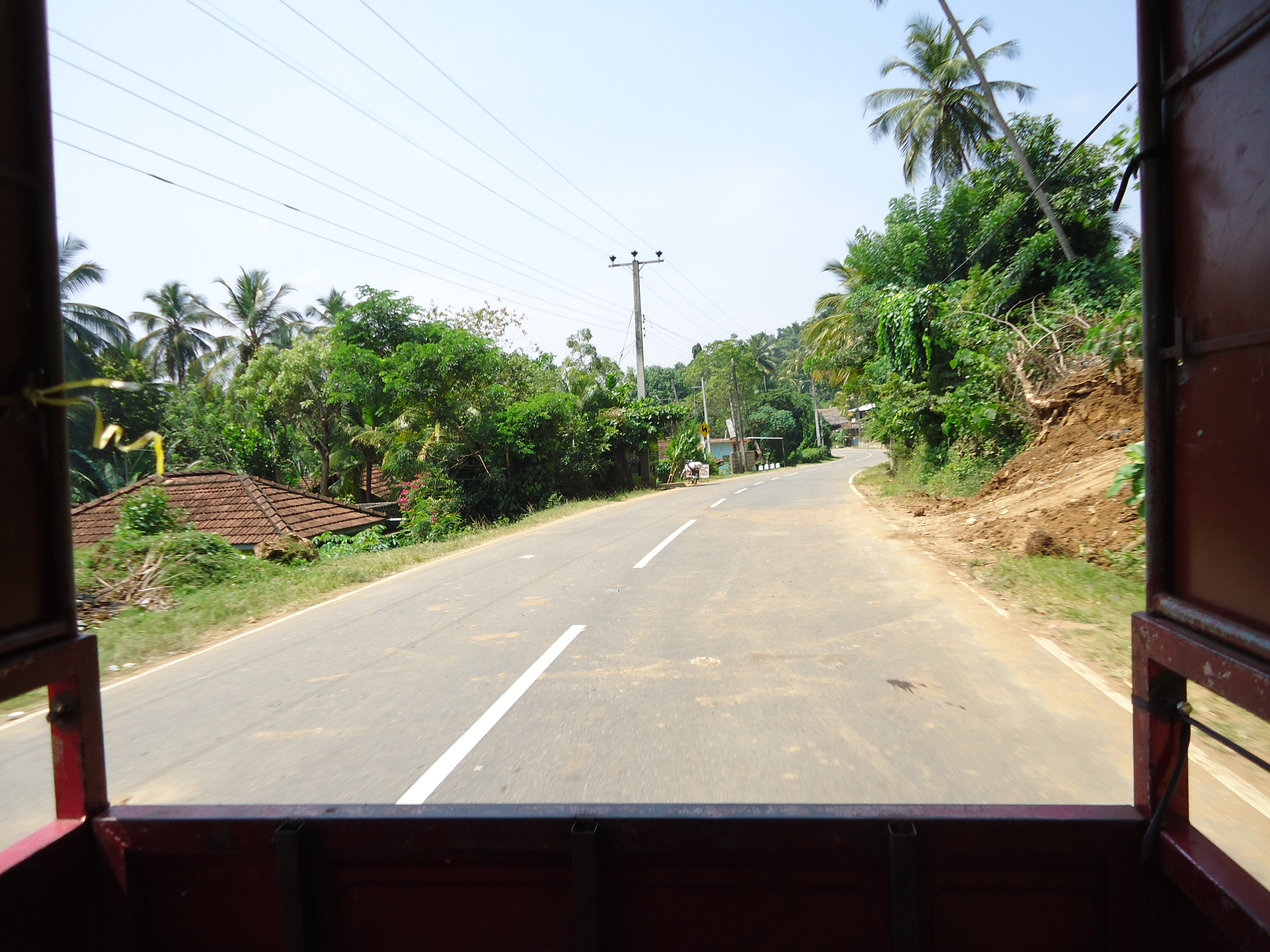
view from the bus

WBH Tea Estate

View from seating/lounging area
#srilanka #weligama

Like an eagle waiting for right moment to catch the fish #srilanka #fishing #bw #nature #traditional #heritage #instaplanet #instagood

Peacock in pedifield
Meerstudien in B+W
Paradise Island Sri Lanka

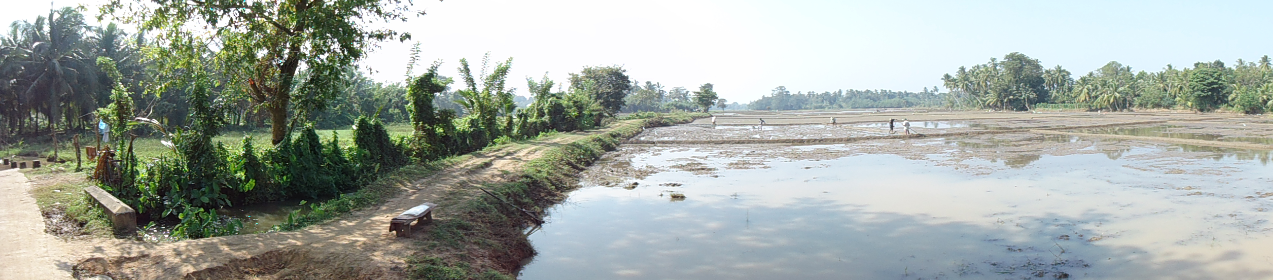
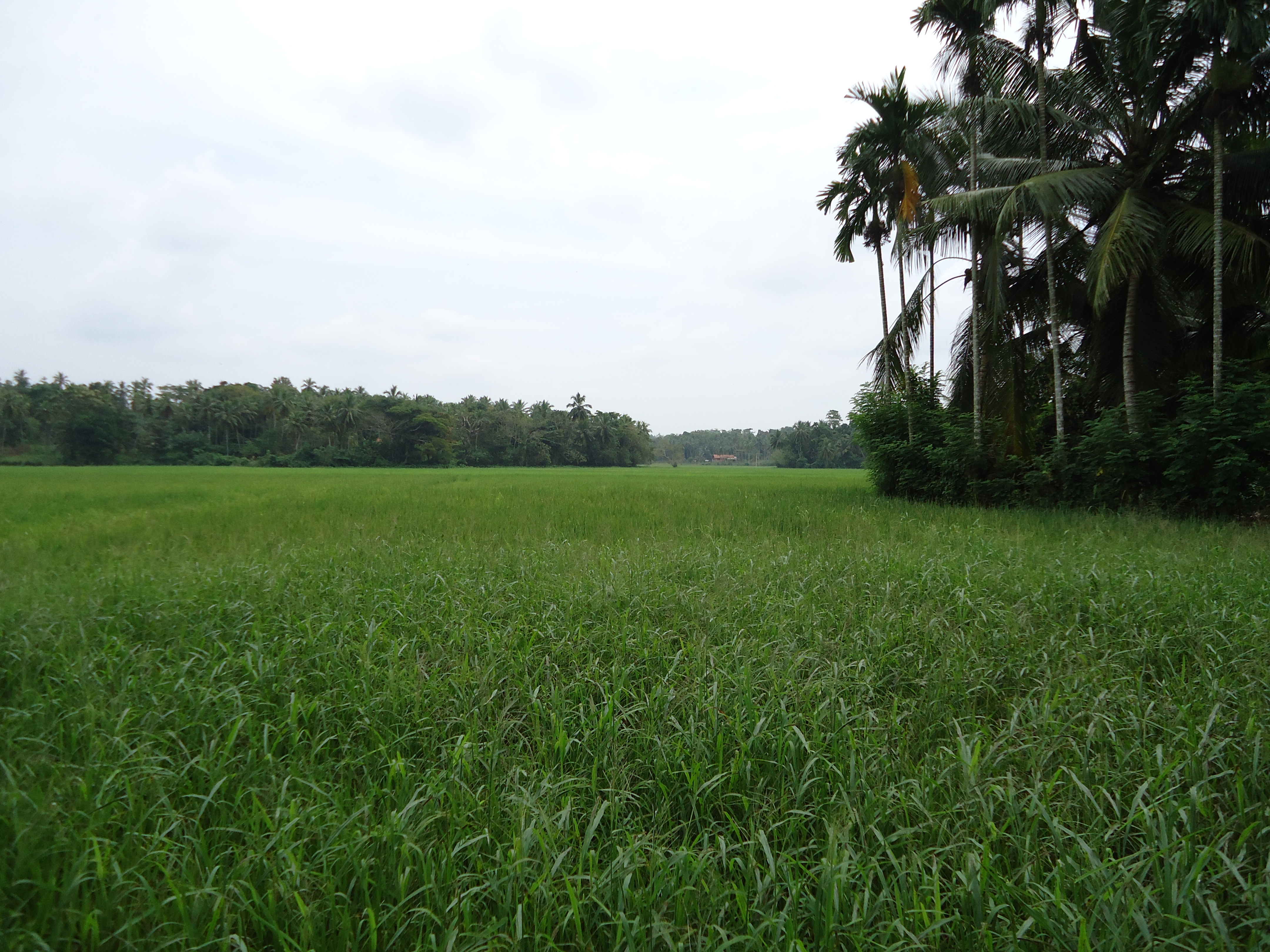
Rice fields near Weligama

Green Rooms

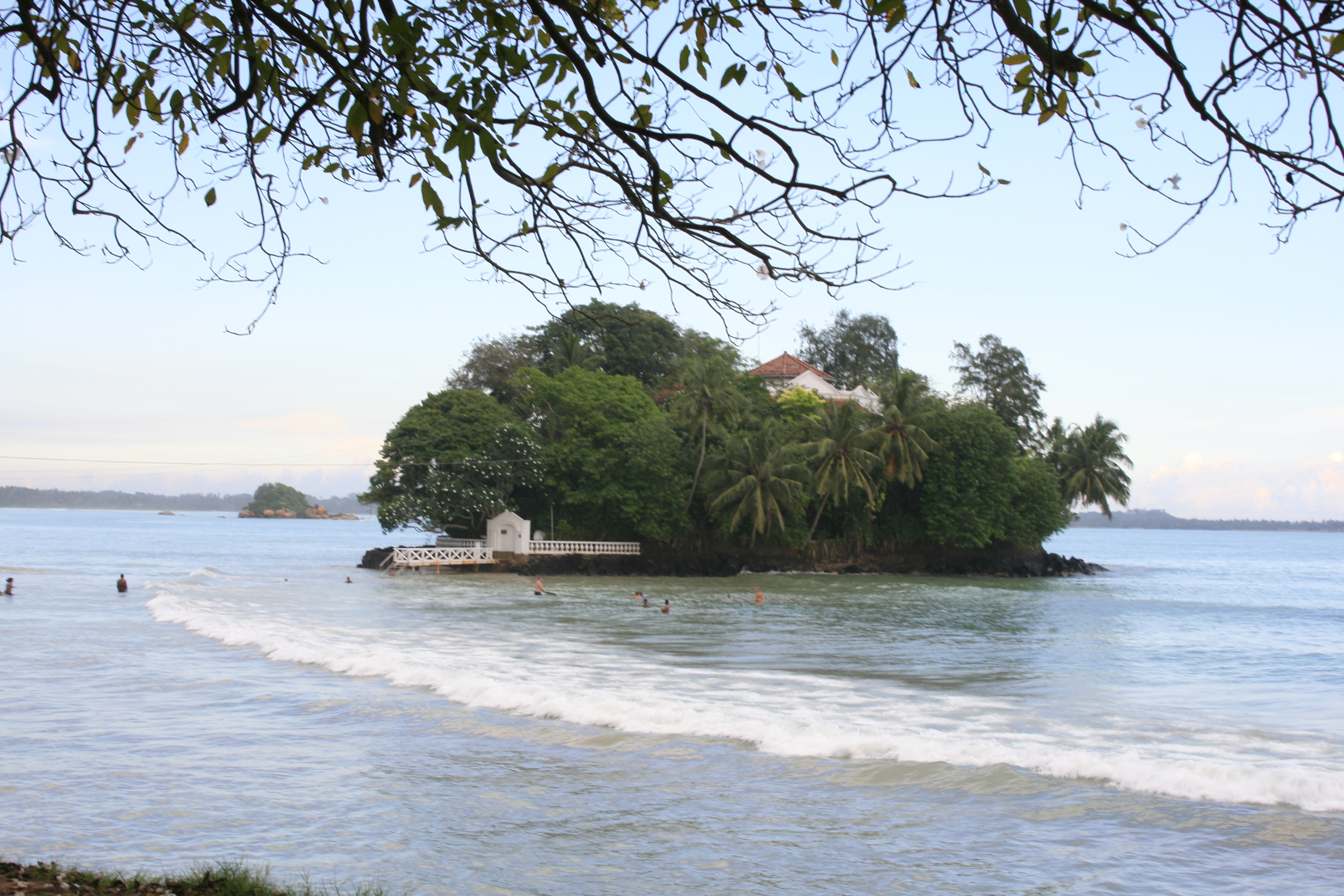
Taprobane Island, Weligama
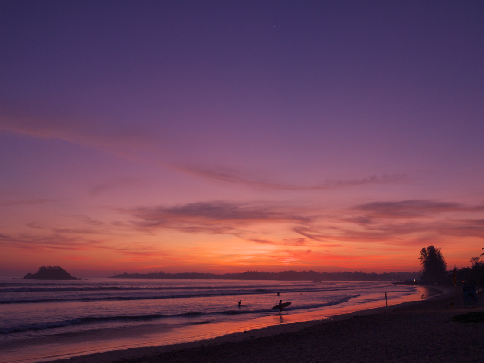
Sunset with Venus at Weligama beach
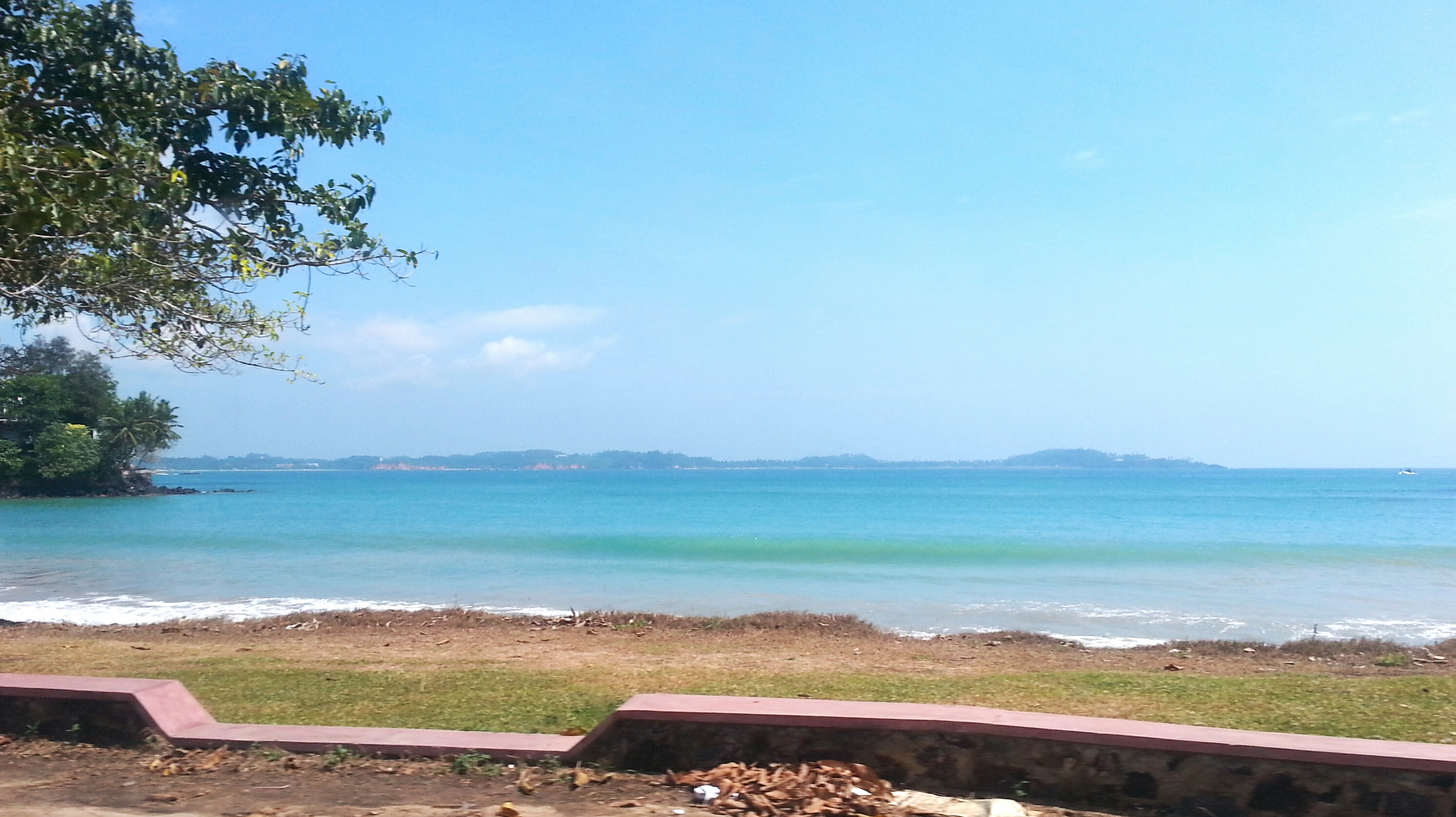
Weligama Blue

The exclusive hotel on an island in Weligama BayP1140187 (Medium)

Steht 'ne Kuh auf dem Strand
Sri Lanka - Feb 2013-19
Sri Lanka - Feb 2013-51
Sri Lanka - Feb 2013-9
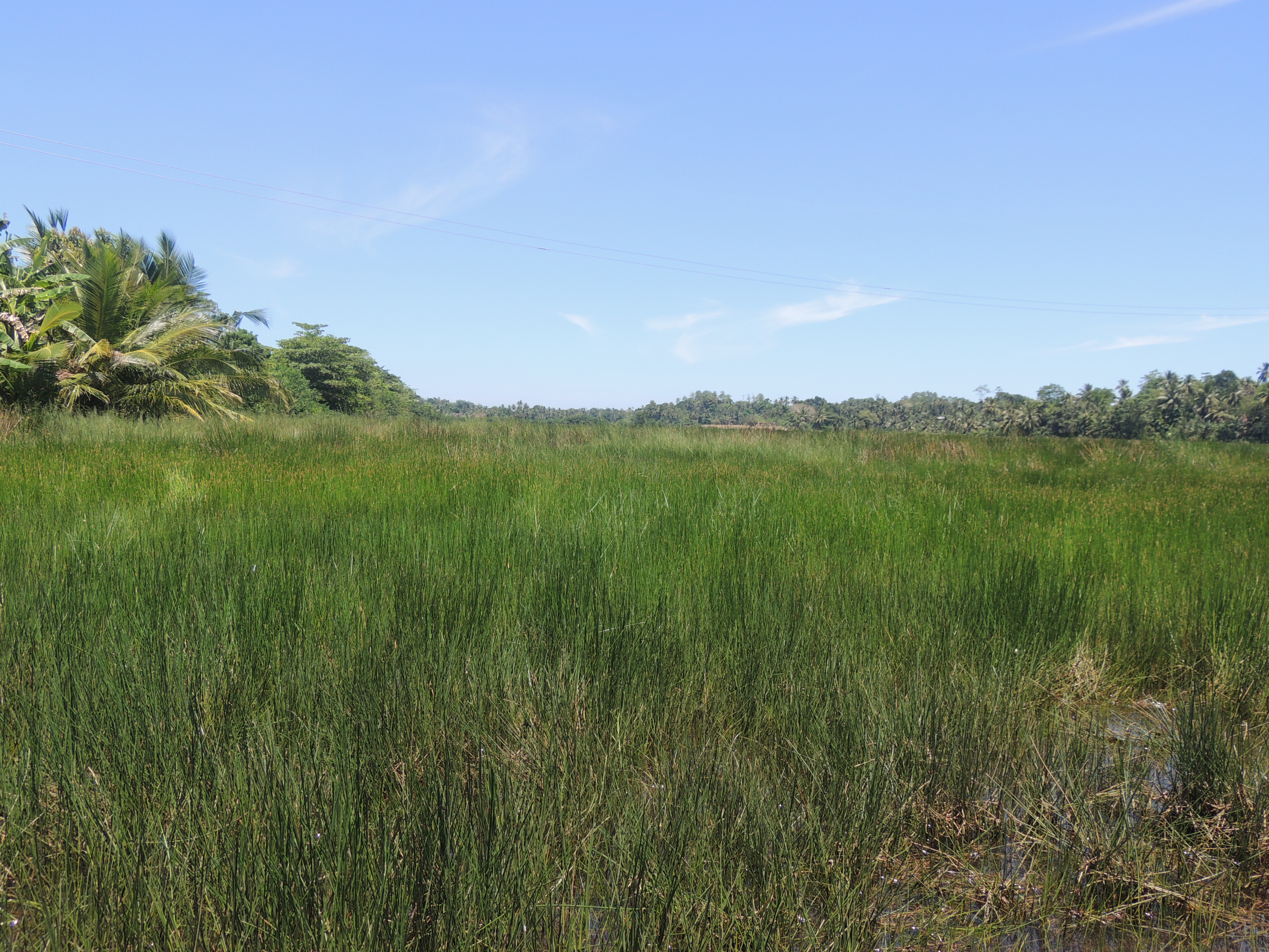
Marsh Land
Topographic Map of Akuressa, Sri Lanka
Find elevation by address:

Places near Akuressa, Sri Lanka:
Yakabedda
Nandana Tea Factory (pvt) Ltd
Ransegoda Tea Factory
Matara
Kananke
Mulatiyana
Weligama
Southern Province
Mirissa Beach
Matara
Ahangama
Koggala
Uda Peekwella Road
Welewatta
Aparekka
Meddewatte-kekanadure-yatiyana Road
Kaley Tea
Kaley Tea Factory
Pasgoda
Kotapola
Recent Searches:
- Elevation of Corso Fratelli Cairoli, 35, Macerata MC, Italy
- Elevation of Tallevast Rd, Sarasota, FL, USA
- Elevation of 4th St E, Sonoma, CA, USA
- Elevation of Black Hollow Rd, Pennsdale, PA, USA
- Elevation of Oakland Ave, Williamsport, PA, USA
- Elevation of Pedrógão Grande, Portugal
- Elevation of Klee Dr, Martinsburg, WV, USA
- Elevation of Via Roma, Pieranica CR, Italy
- Elevation of Tavkvetili Mountain, Georgia
- Elevation of Hartfords Bluff Cir, Mt Pleasant, SC, USA