Elevation of Akobo, South Sudan
Location: South Sudan > Jonglei > Nahr Atiem >
Longitude: 33.0029105
Latitude: 7.7804849
Elevation: 411m / 1348feet
Barometric Pressure: 96KPa
Elevation Map:
Satellite Map:
Related Photos:

Southern Sudan Humanitarian

Southern Sudan Humanitarian
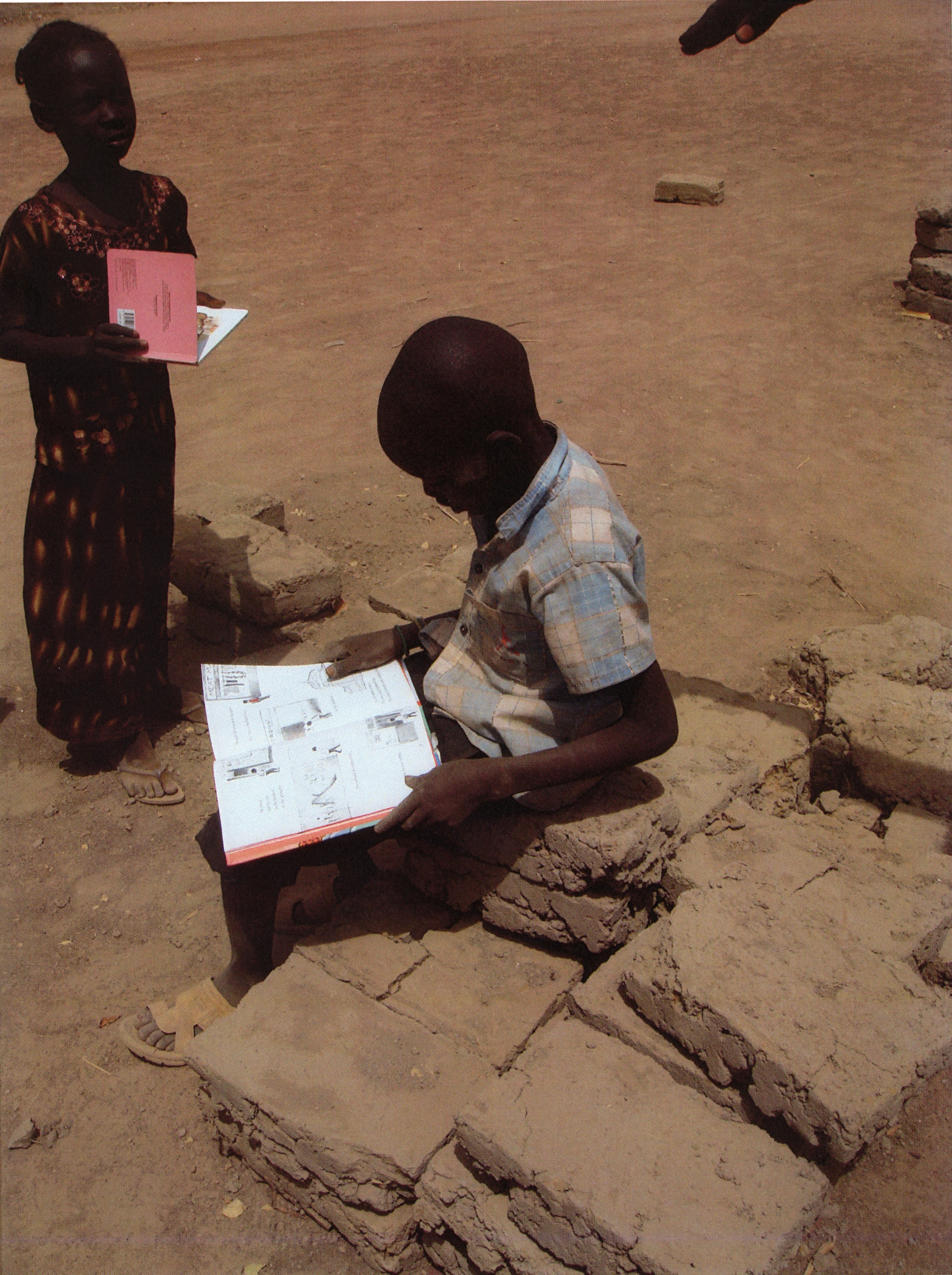
Southern Sudan Humanitarian

Southern Sudan Humanitarian

Southern Sudan Humanitarian

Southern Sudan Humanitarian

Inter-Tribal Violence in Sudan
Topographic Map of Akobo, South Sudan
Find elevation by address:

Places near Akobo, South Sudan:
Recent Searches:
- Elevation of Old Clairton Rd, Jefferson Hills, PA, USA
- Elevation of st Ave SE, Lisbon, ND, USA
- Elevation of Steamboat Island Road Northwest, Olympia, WA, USA
- Elevation of Kootenai Trail Rd, Bonners Ferry, ID, USA
- Elevation of Hickory Blvd, Bonita Springs, FL, USA
- Elevation of Lalagbene, Bayelsa, Nigeria
- Elevation of Ogbosuware Health Centre, 2WWJ+4PJ, Lalagbene, Bayelsa, Nigeria
- Elevation of Duckhorn Ct, Las Vegas, NV, USA
- Elevation of Garretts Run Rd, Ford City, PA, USA
- Elevation of N WI-55, Freedom, WI, USA