Elevation of Akitakata, Hiroshima Prefecture, Japan
Location: Japan > Hiroshima Prefecture >
Longitude: 132.704298
Latitude: 34.6663075
Elevation: 203m / 666feet
Barometric Pressure: 99KPa
Elevation Map:
Satellite Map:
Related Photos:

田舎の空

すべての写真-98
Water Slider.
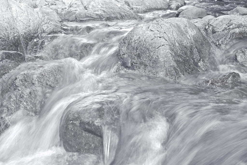
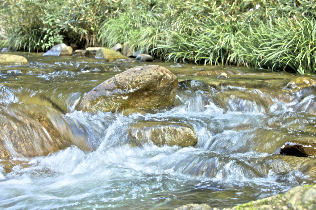
River.
River.
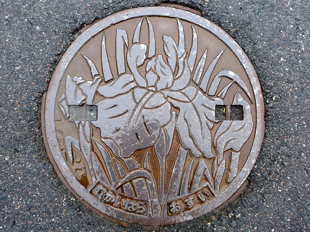
Mukaihara Hiroshima, manhole cover 2 (広島県向原町のマンホール2)

Mukaihara Hiroshima, manhole cover (広島県向原町のマンホール)

おはなかわいい
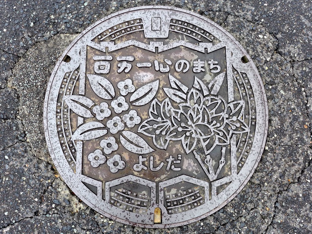
Yoshida Hiroshima, manhole cover 3 (広島県吉田町のマンホール3)
今日のオヤツ
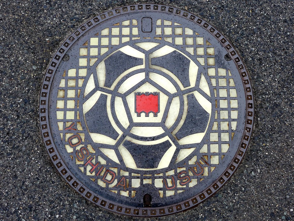
Yoshida Hiroshima, manhole cover 2 (広島県吉田町のマンホール2)
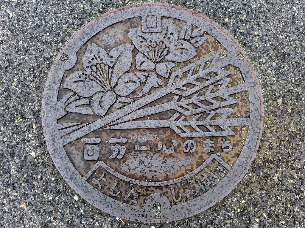
Yoshida Hiroshima, manhole cover (広島県吉田町のマンホール)

すべての写真-162

すべての写真-161

すべての写真-160

すべての写真-106

すべての写真-105
まだ結構雪あるなぁ

おりぼんの服
ice cream
ice cream
ice cream
ice cream
ice cream
Topographic Map of Akitakata, Hiroshima Prefecture, Japan
Find elevation by address:

Places in Akitakata, Hiroshima Prefecture, Japan:
Places near Akitakata, Hiroshima Prefecture, Japan:
-20 Yoshidachō Tajihi, Akitakata-shi, Hiroshima-ken -, Japan
Shirakichō Ōaza Ibara, Asakita-ku, Hiroshima-shi, Hiroshima-ken -, Japan
Shirakichō Ōaza Ichikawa, Asakita-ku, Hiroshima-shi, Hiroshima-ken -, Japan
Shirakichō Ōaza Okoe, Asakita-ku, Hiroshima-shi, Hiroshima-ken -, Japan
1890 Shirakichō Ōaza Akiyama
無連寺集会所
Shirakichō Ōaza Shiji, Asakita-ku, Hiroshima-shi, Hiroshima-ken -, Japan
Fukutomichō Kuba, Higashihiroshima-shi, Hiroshima-ken -, Japan
Toyosakachō Kajiya, Higashihiroshima-shi, Hiroshima-ken -, Japan
Kitahiroshima
Ōbayashichō, Asakita-ku, Hiroshima-shi, Hiroshima-ken -, Japan
Shirakichō Ōaza Mita, Asakita-ku, Hiroshima-shi, Hiroshima-ken -, Japan
-6 Shiwachō Befu, Higashihiroshima-shi, Hiroshima-ken -, Japan
キシゾイアパート
1 Chome-6-19 Ōbayashi
Miyoshi
Miyoshimachi, Miyoshi-shi, Hiroshima-ken -, Japan
1 Chome-18-30 Miirihigashi, Asakita-ku, Hiroshima-shi, Hiroshima-ken -, Japan
3 Chome-8-23 Miiri, Asakita-ku, Hiroshima-shi, Hiroshima-ken -, Japan
Kabechō Ōaza Kamimachiya, Asakita-ku, Hiroshima-shi, Hiroshima-ken -, Japan
Recent Searches:
- Elevation of W Granada St, Tampa, FL, USA
- Elevation of Pykes Down, Ivybridge PL21 0BY, UK
- Elevation of Jalan Senandin, Lutong, Miri, Sarawak, Malaysia
- Elevation of Bilohirs'k
- Elevation of 30 Oak Lawn Dr, Barkhamsted, CT, USA
- Elevation of Luther Road, Luther Rd, Auburn, CA, USA
- Elevation of Unnamed Road, Respublika Severnaya Osetiya — Alaniya, Russia
- Elevation of Verkhny Fiagdon, North Ossetia–Alania Republic, Russia
- Elevation of F. Viola Hiway, San Rafael, Bulacan, Philippines
- Elevation of Herbage Dr, Gulfport, MS, USA