Elevation of Akdere, Silifke/Mersin, Turkey
Location: Turkey > Mersin Province > Silifke >
Longitude: 33.750698
Latitude: 36.24049
Elevation: 118m / 387feet
Barometric Pressure: 100KPa
Elevation Map:
Satellite Map:
Related Photos:

Günümüz tarihinden kale güzeli.

Taşucu waterfront

Taşucu waterfront

#tisan #tisanenyerdegüzel #korsankoyu #mersin #silifke #yeşilovacık
Taşucu waterfront

Tasucu coast

Tasucu coast

Tasucu coast

Tasucu coast

Tasucu coast

Tasucu coast

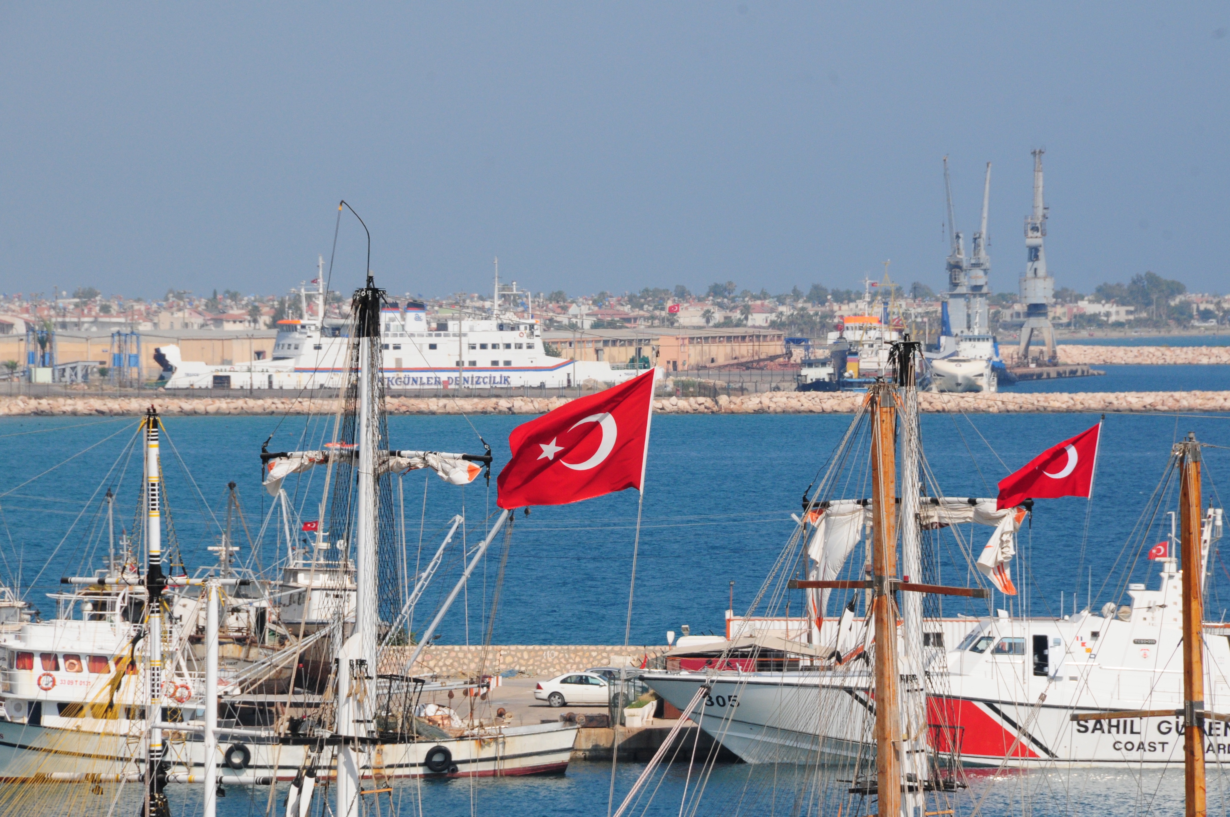
Taşucu Port

Tasucu coast

Tasucu coast

Tasucu coast

Taşucu Port

Taşucu coast

Tasucu coast

Tasucu coast
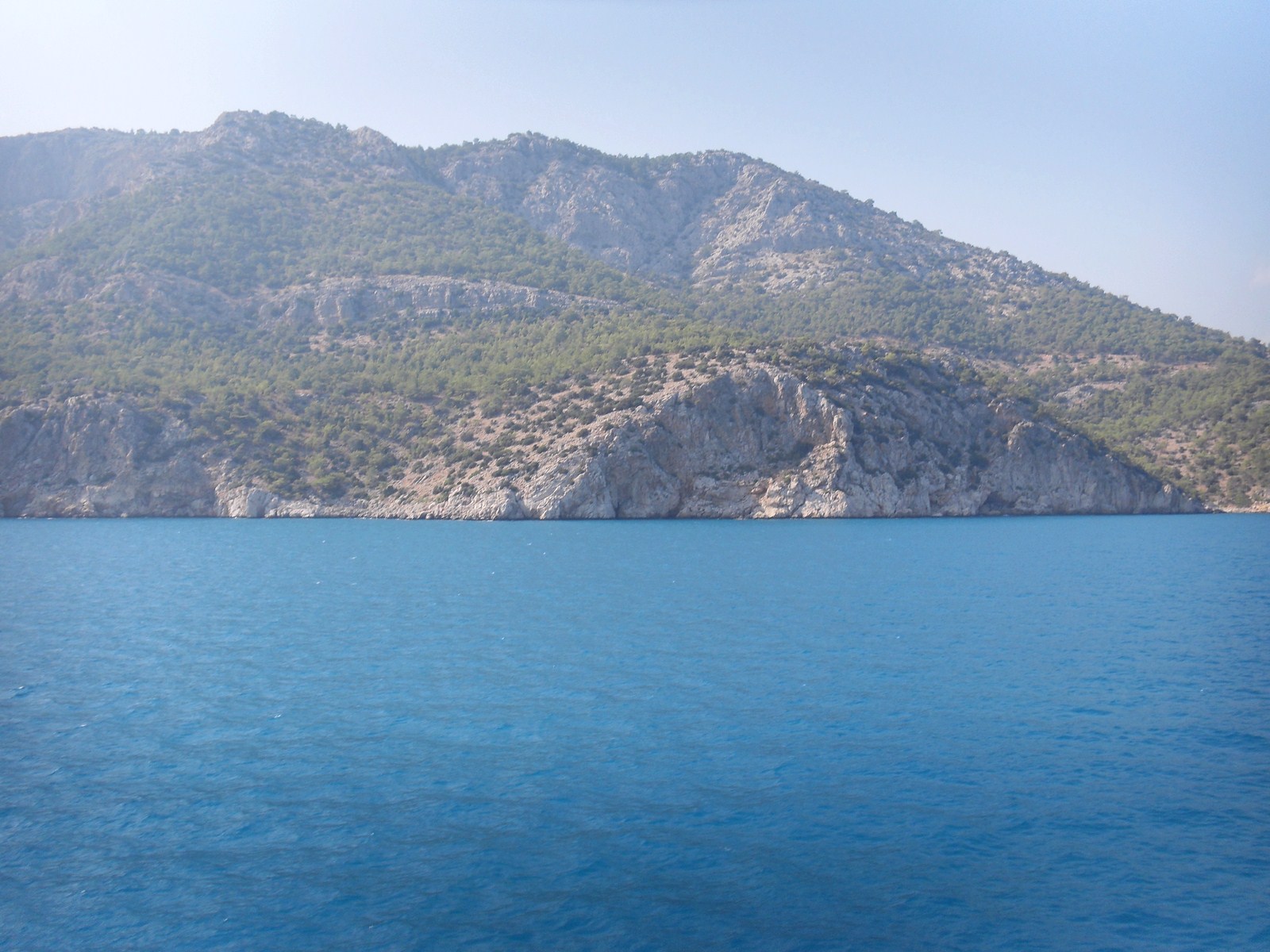
Tasucu coast

Taşucu
Topographic Map of Akdere, Silifke/Mersin, Turkey
Find elevation by address:

Places near Akdere, Silifke/Mersin, Turkey:
Recent Searches:
- Elevation of Elwyn Dr, Roanoke Rapids, NC, USA
- Elevation of Congressional Dr, Stevensville, MD, USA
- Elevation of Bellview Rd, McLean, VA, USA
- Elevation of Stage Island Rd, Chatham, MA, USA
- Elevation of Shibuya Scramble Crossing, 21 Udagawacho, Shibuya City, Tokyo -, Japan
- Elevation of Jadagoniai, Kaunas District Municipality, Lithuania
- Elevation of Pagonija rock, Kranto 7-oji g. 8"N, Kaunas, Lithuania
- Elevation of Co Rd 87, Jamestown, CO, USA
- Elevation of Tenjo, Cundinamarca, Colombia
- Elevation of Côte-des-Neiges, Montreal, QC H4A 3J6, Canada