Elevation of Airport Rd, Greenfield, TN, USA
Location: United States > Tennessee > Weakley County > Greenfield >
Longitude: -88.817532
Latitude: 36.129868
Elevation: 106m / 348feet
Barometric Pressure: 0KPa
Related Photos:
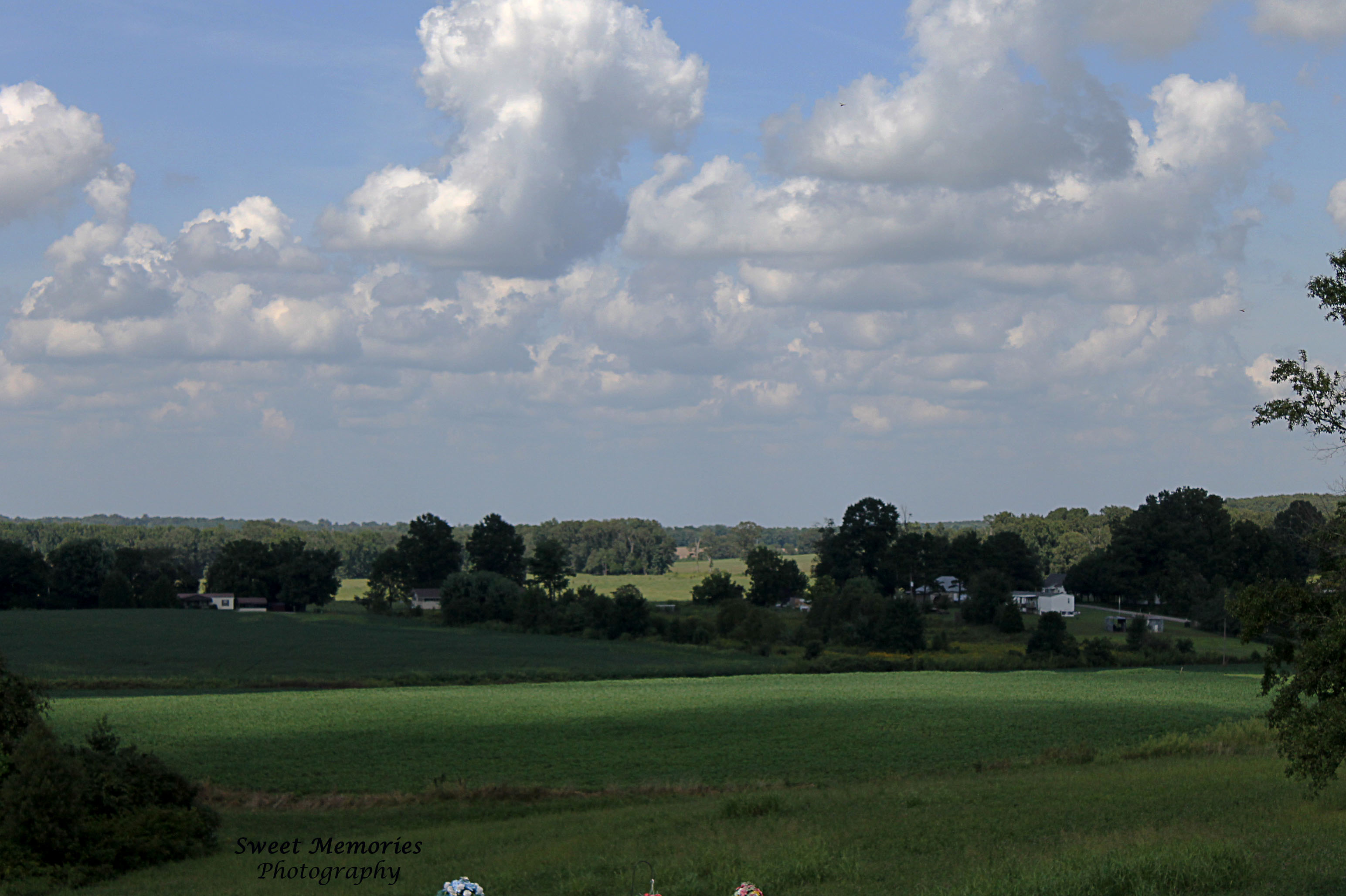
Hilltop View

Road Bed
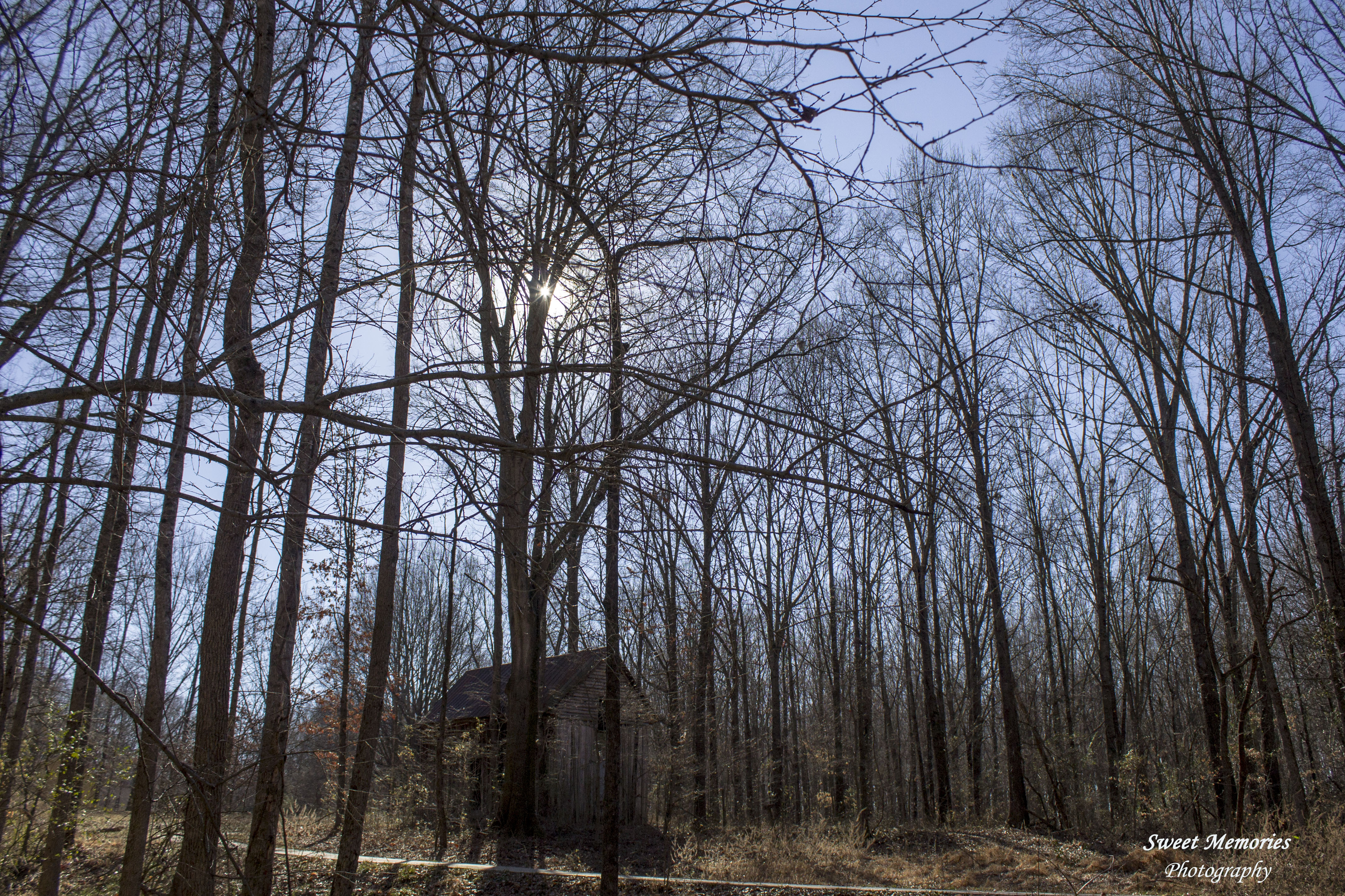
Sunny Woods
Sunday Afternoon shots

Springtime in Tennessee

Sharon, TN Railroad Mural

Beech Tree Leaves
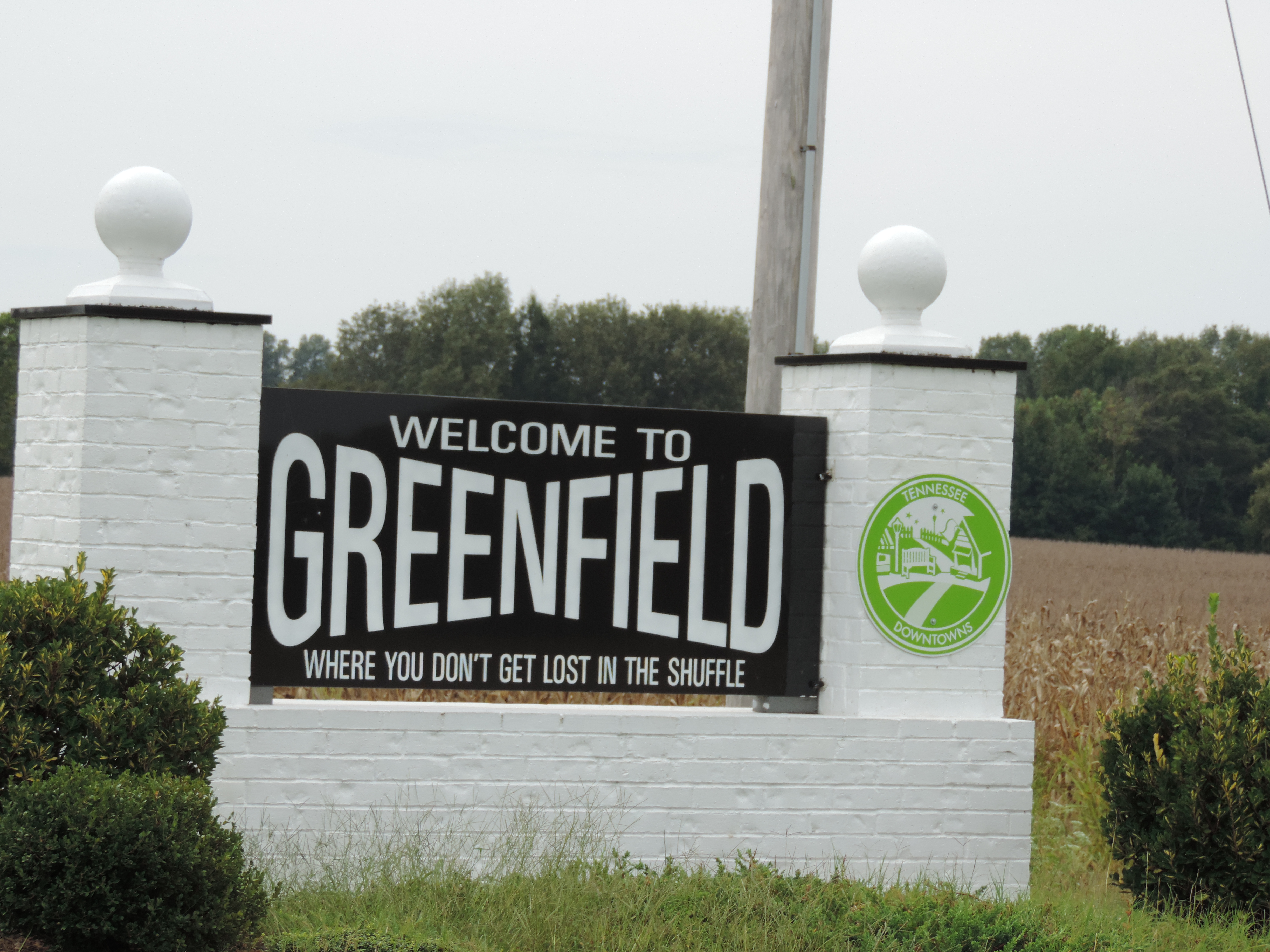
Welcome to Greenfield
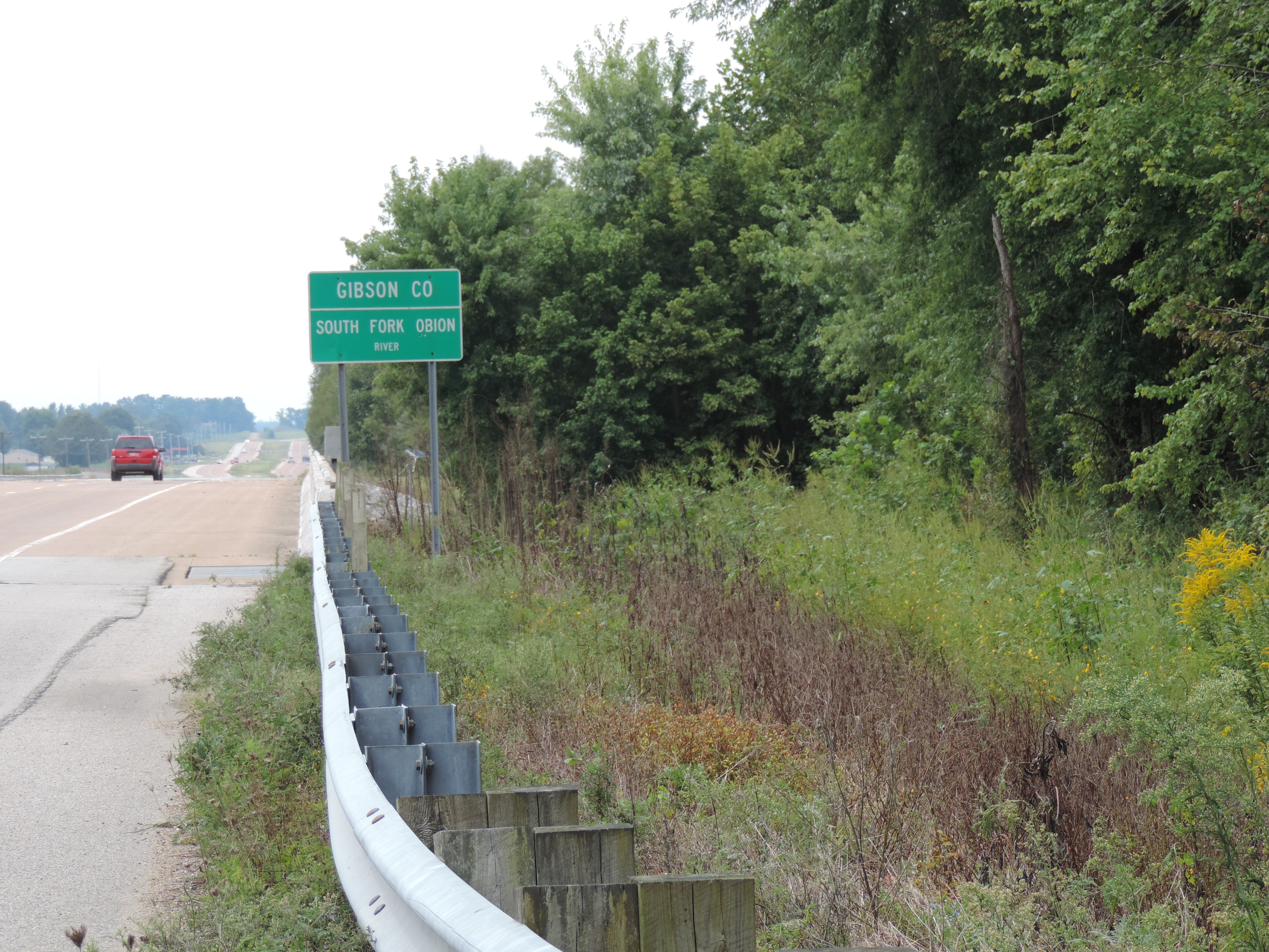
Entering Gibson County, Tennessee

:D

puppy *W*

my dog is under the chair hahaah XD

necklace <3

smile........................

:X

i wear this all the time can u tell XD

:333333333333333333 :v

6-6-15 005

6-6-15 006
Looking Through to the Past

2015-03-18_12-19-54
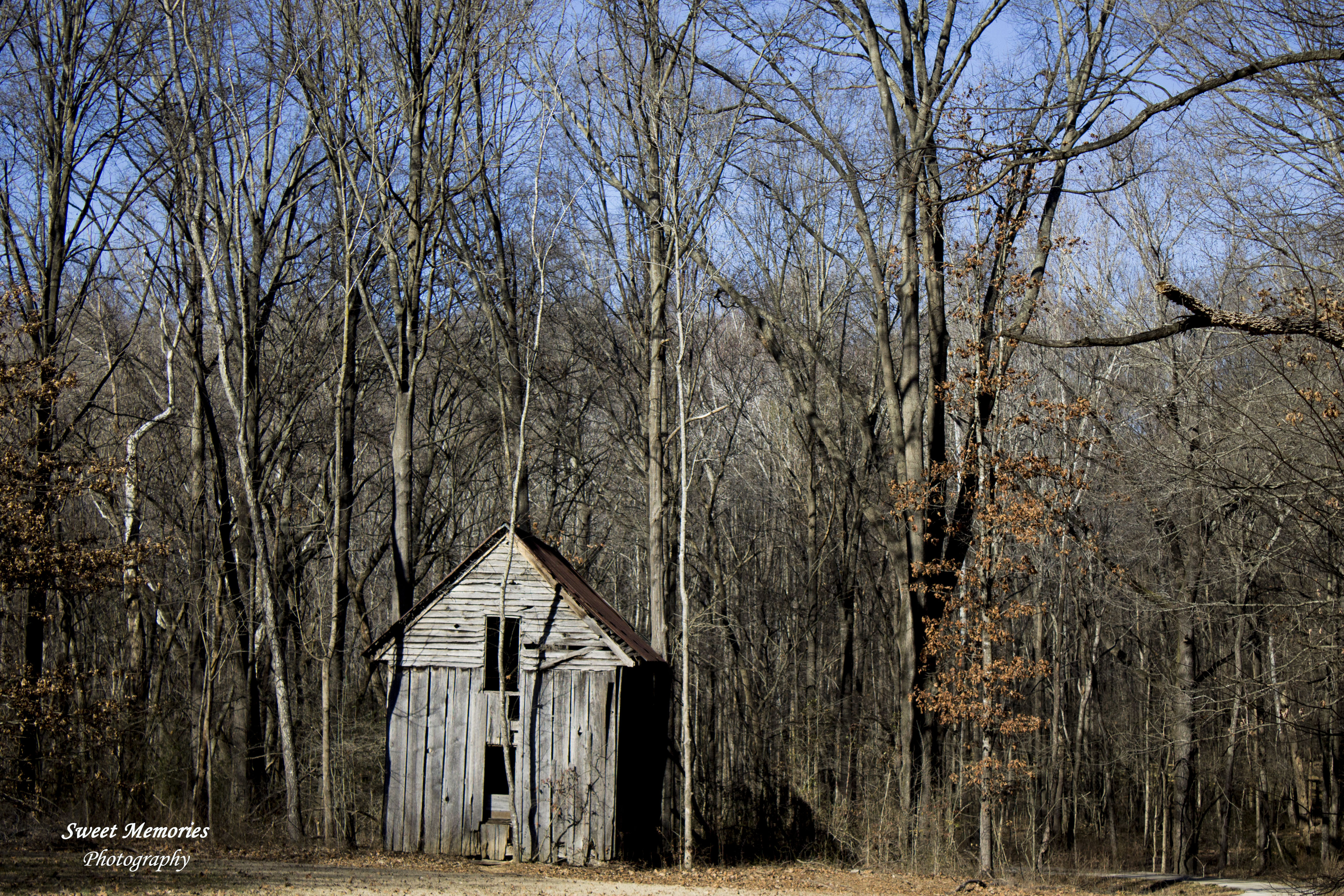
Tillman Cabin

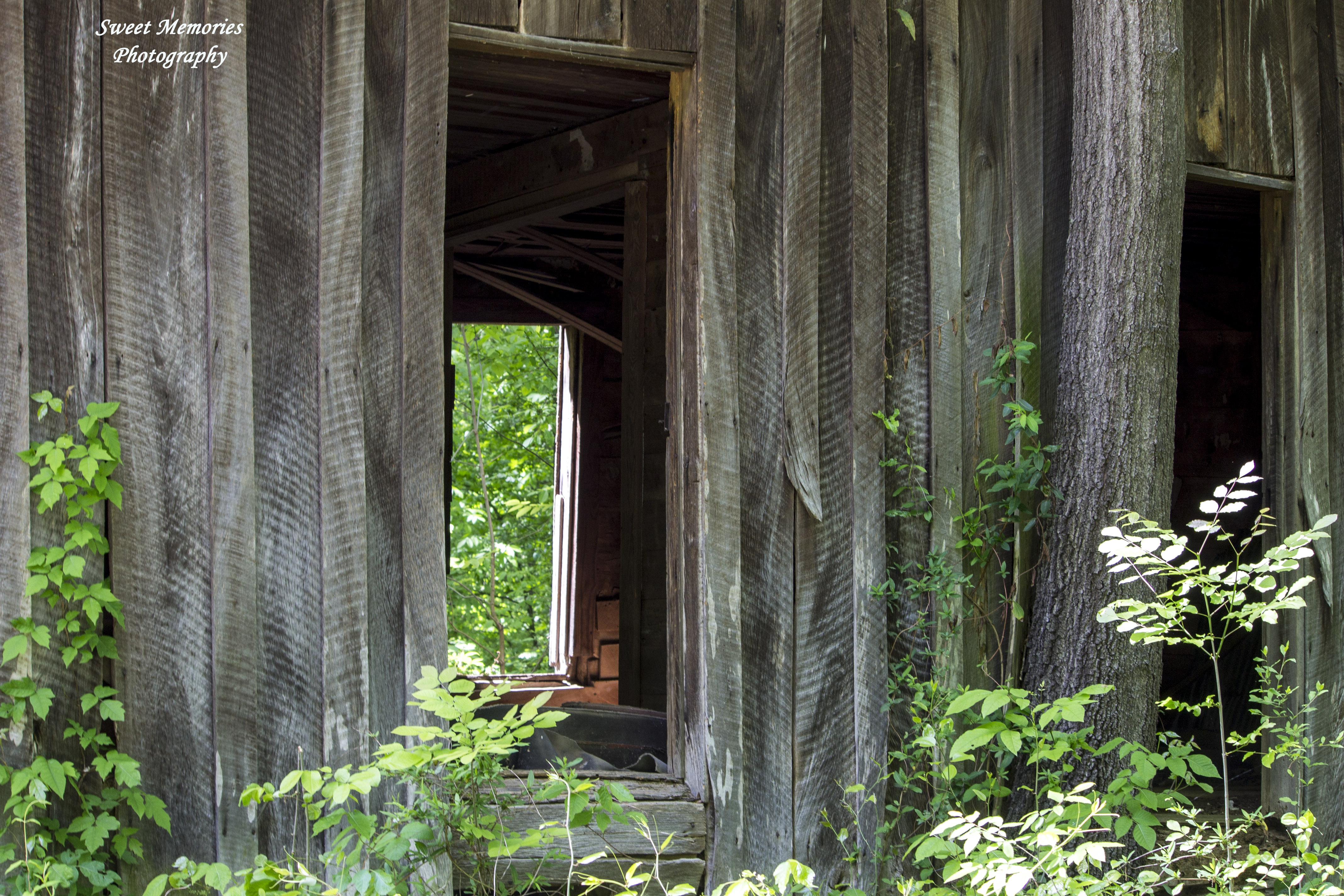
Peeking Through the Window

Sleeping Loft
Topographic Map of Airport Rd, Greenfield, TN, USA
Find elevation by address:

Places near Airport Rd, Greenfield, TN, USA:
215 Hatcher St
Greenfield
202 N Front St
302 Broad St
503 Broad St
Bradford
W Front St, Bradford, TN, USA
Skullbone Rd, Bradford, TN, USA
30 Idlewild Hollyleaf Rd, Bradford, TN, USA
591 Will Young Rd
Staffords Store Rd, Greenfield, TN, USA
Gibson County
Concord Cades Rd, Trenton, TN, USA
465 Concord Cades Rd
Cades Atwood Rd, Milan, TN, USA
2 Farrow Ln
Bradford Hwy, Milan, TN, USA
Sandhill Rd, Gleason, TN, USA
S Main St, Dyer, TN, USA
2 Oak Grove Rd, Milan, TN, USA
Recent Searches:
- Elevation map of Greenland, Greenland
- Elevation of Sullivan Hill, New York, New York, 10002, USA
- Elevation of Morehead Road, Withrow Downs, Charlotte, Mecklenburg County, North Carolina, 28262, USA
- Elevation of 2800, Morehead Road, Withrow Downs, Charlotte, Mecklenburg County, North Carolina, 28262, USA
- Elevation of Yangbi Yi Autonomous County, Yunnan, China
- Elevation of Pingpo, Yangbi Yi Autonomous County, Yunnan, China
- Elevation of Mount Malong, Pingpo, Yangbi Yi Autonomous County, Yunnan, China
- Elevation map of Yongping County, Yunnan, China
- Elevation of North 8th Street, Palatka, Putnam County, Florida, 32177, USA
- Elevation of 107, Big Apple Road, East Palatka, Putnam County, Florida, 32131, USA
- Elevation of Jiezi, Chongzhou City, Sichuan, China
- Elevation of Chongzhou City, Sichuan, China
- Elevation of Huaiyuan, Chongzhou City, Sichuan, China
- Elevation of Qingxia, Chengdu, Sichuan, China
- Elevation of Corso Fratelli Cairoli, 35, Macerata MC, Italy
- Elevation of Tallevast Rd, Sarasota, FL, USA
- Elevation of 4th St E, Sonoma, CA, USA
- Elevation of Black Hollow Rd, Pennsdale, PA, USA
- Elevation of Oakland Ave, Williamsport, PA, USA
- Elevation of Pedrógão Grande, Portugal