Elevation of Airlie Rd, Monmouth, OR, USA
Location: United States > Oregon > Polk County > Monmouth >
Longitude: -123.36648
Latitude: 44.8223228
Elevation: 102m / 335feet
Barometric Pressure: 100KPa
Elevation Map:
Satellite Map:
Related Photos:

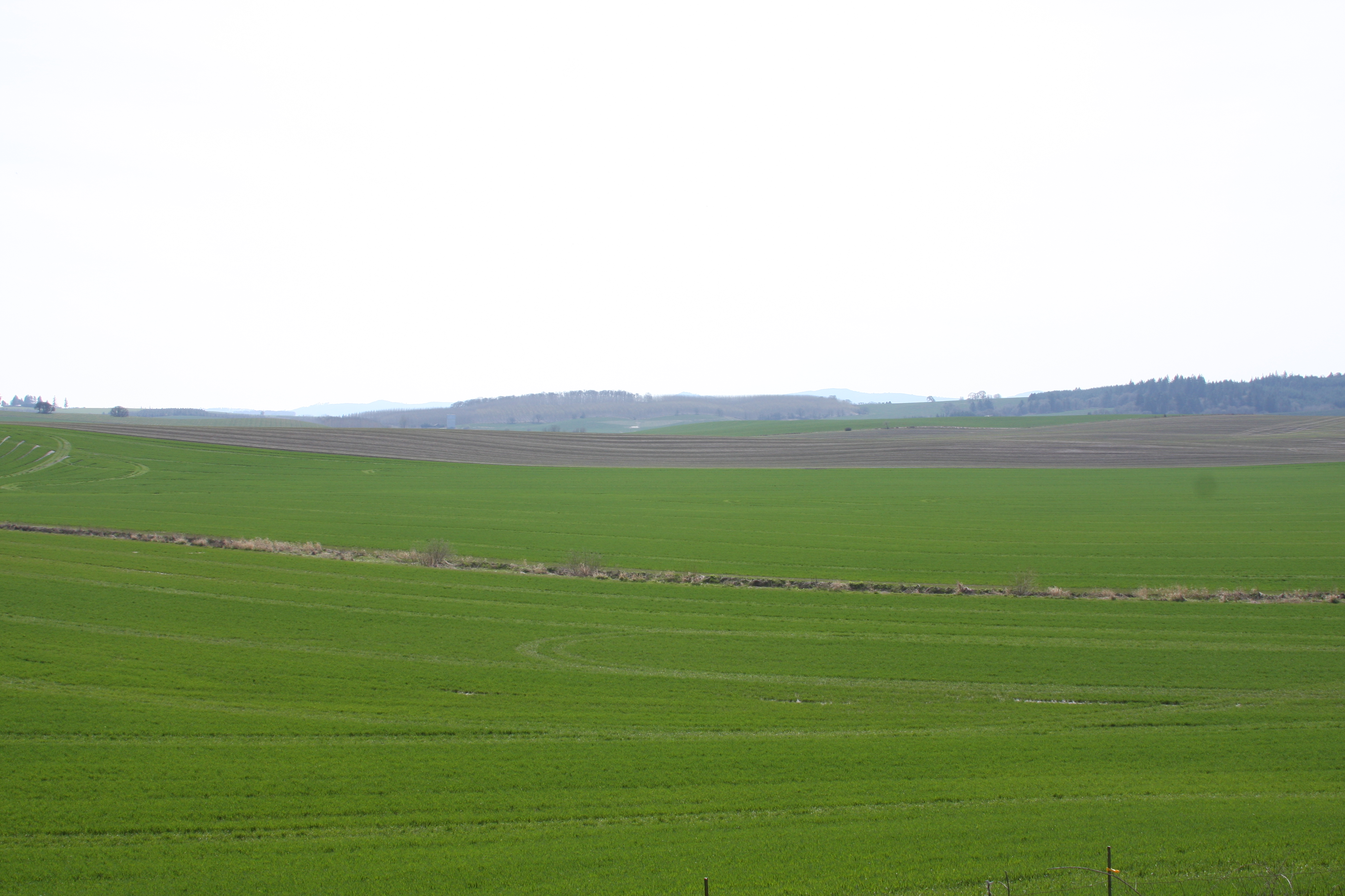
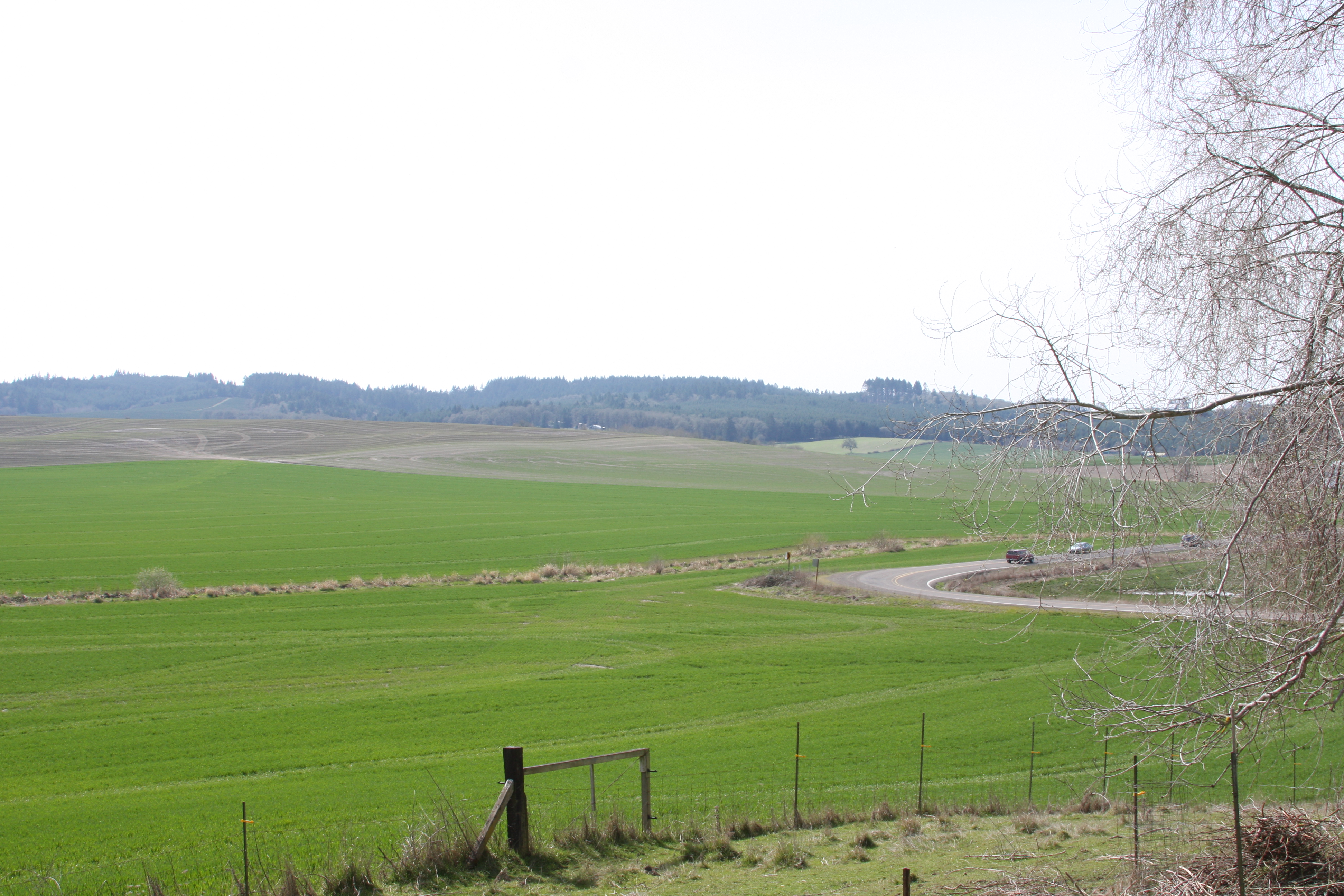
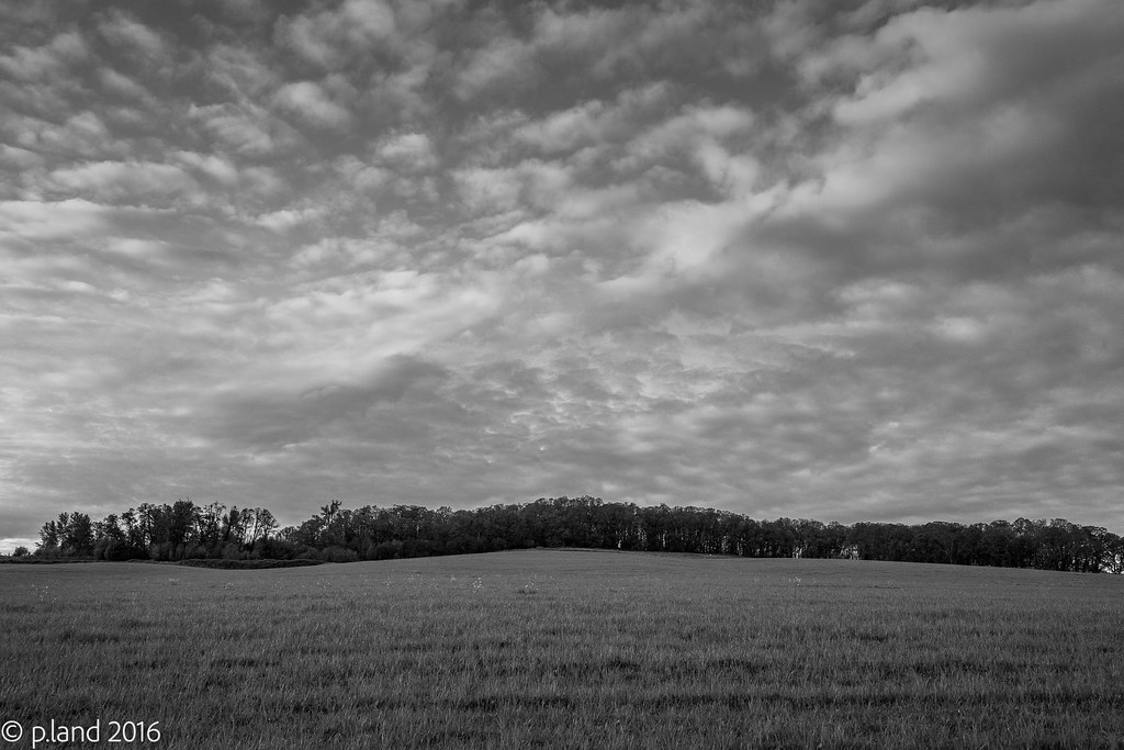
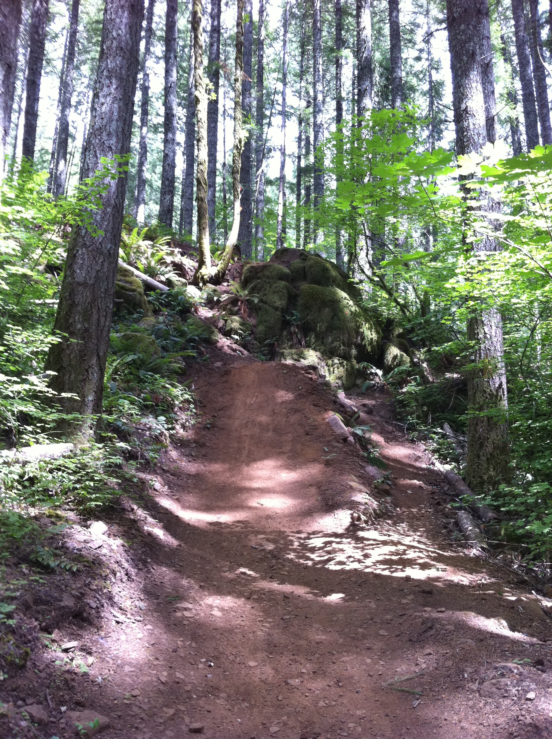
Oregon Landscape

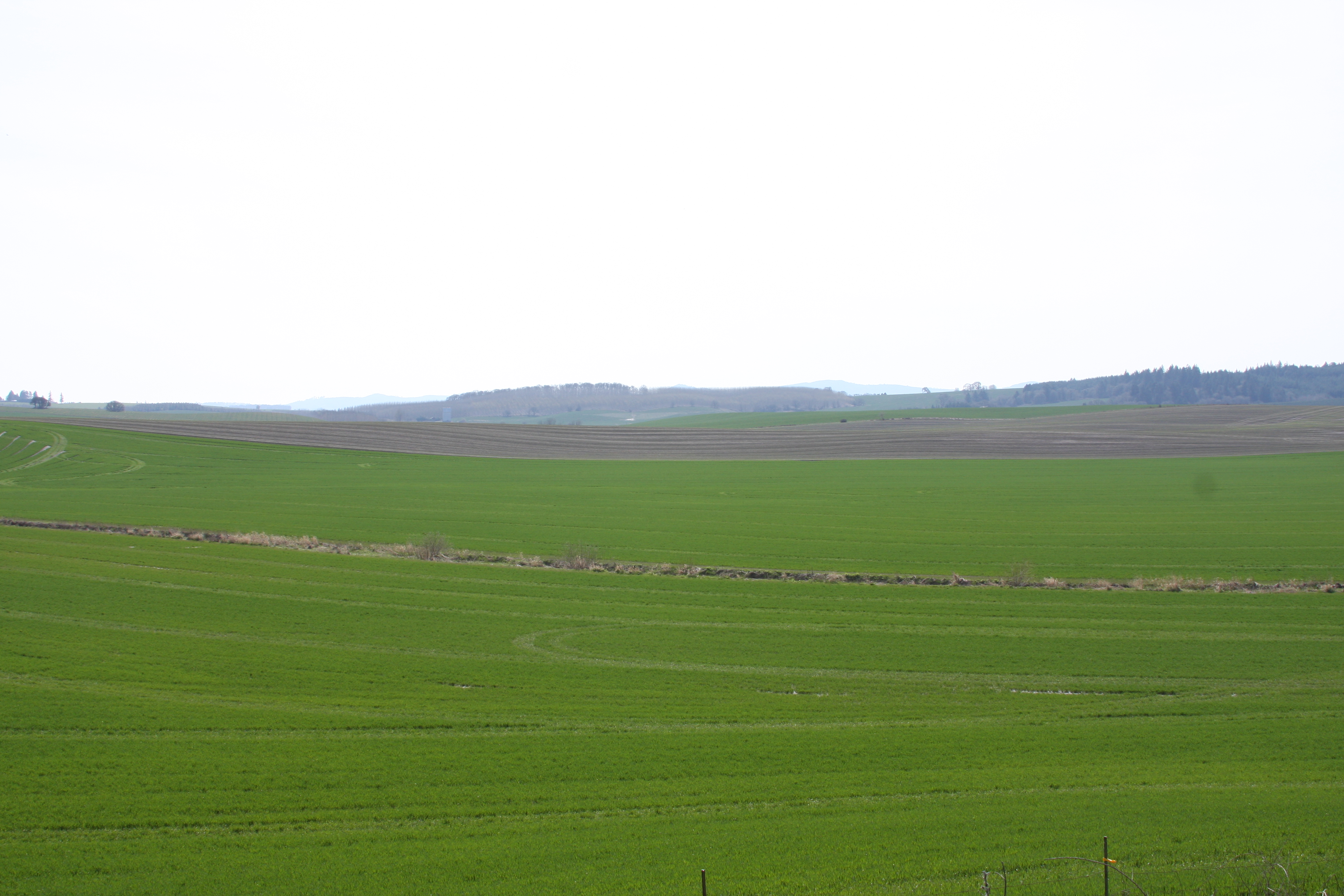
country road
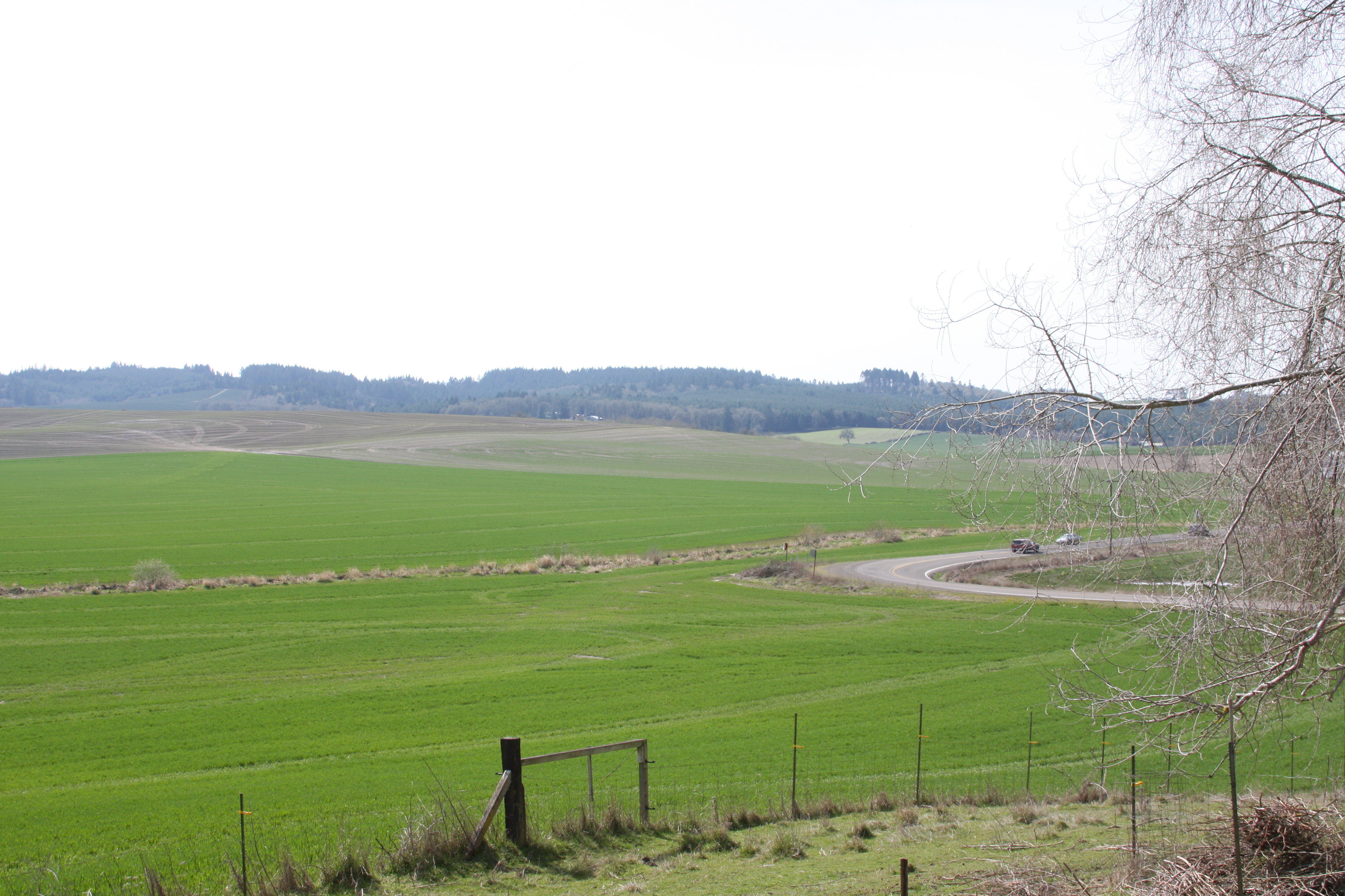
The view
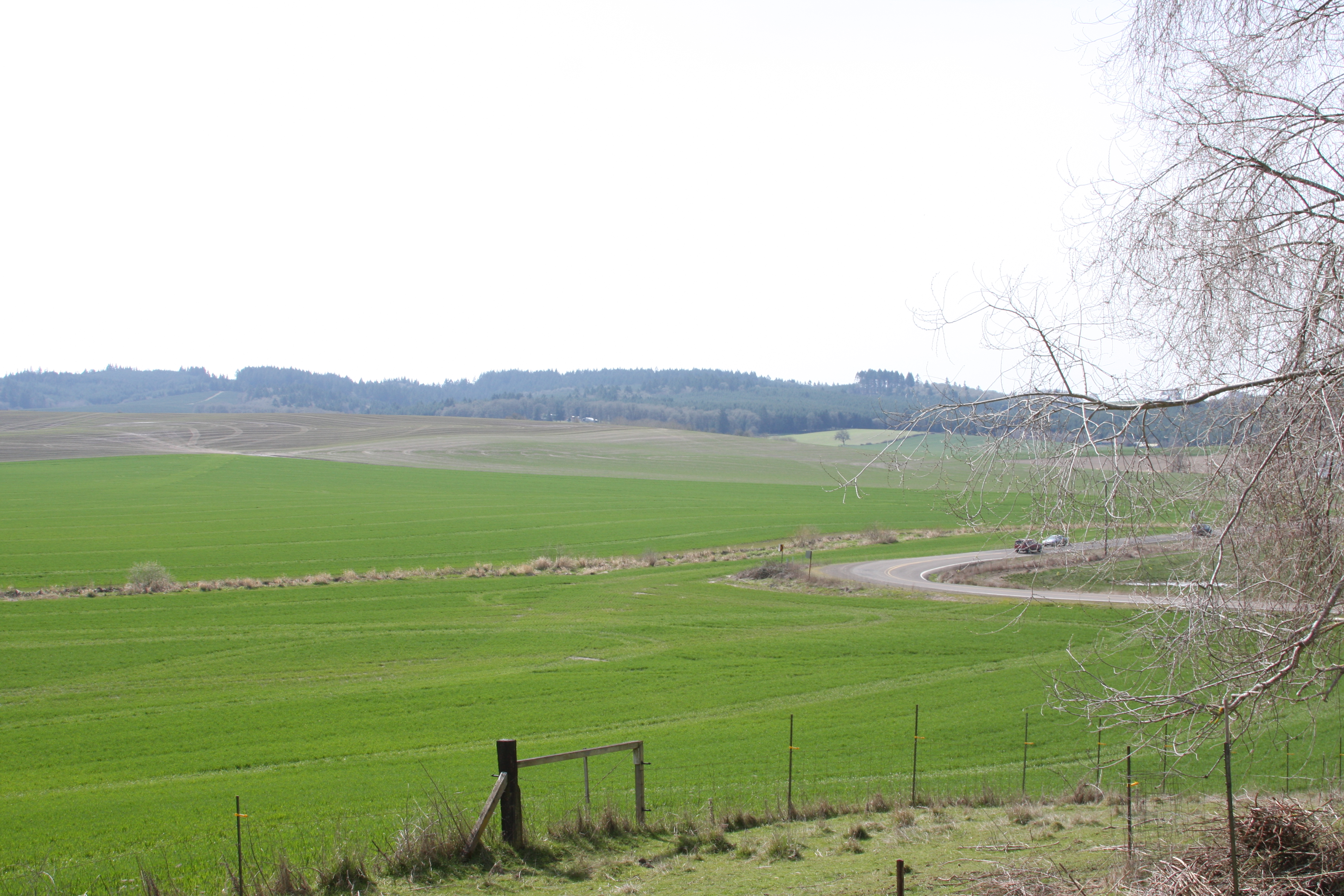
Rolling hills
The view

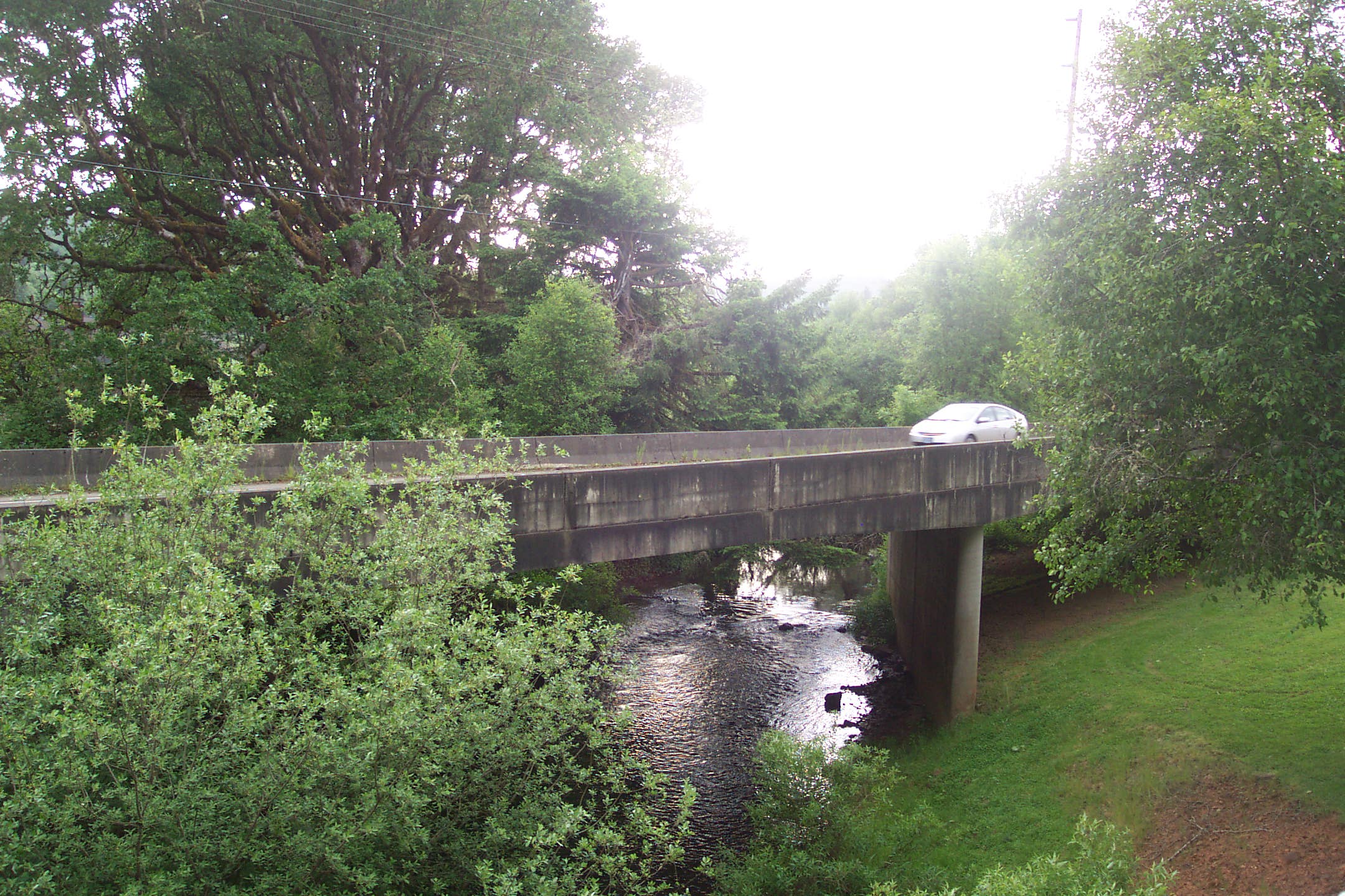
Independence Bridge During Flood
The view
The view
171/365 20-May-2013

Jeff.jpg

My lunch view today :)
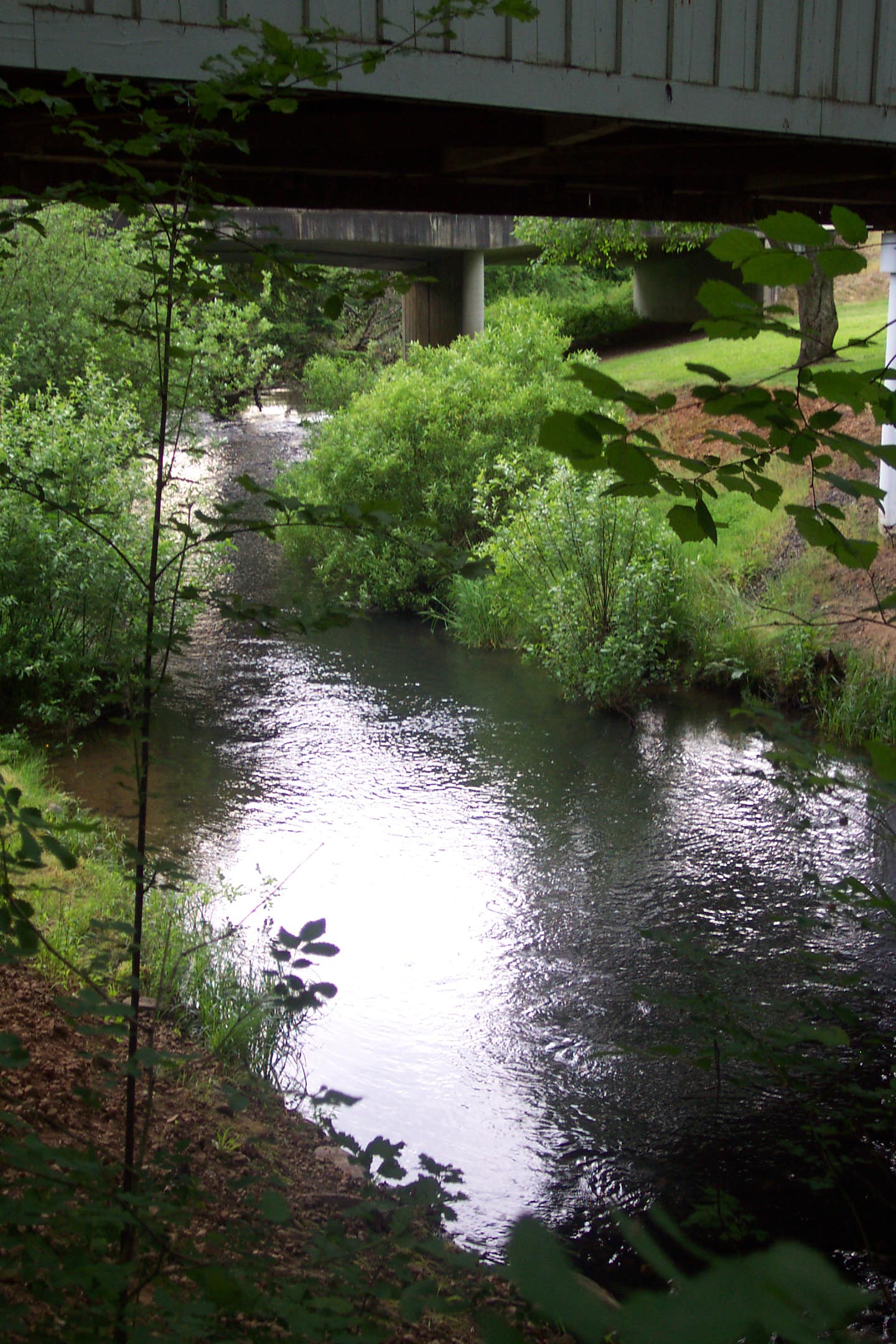
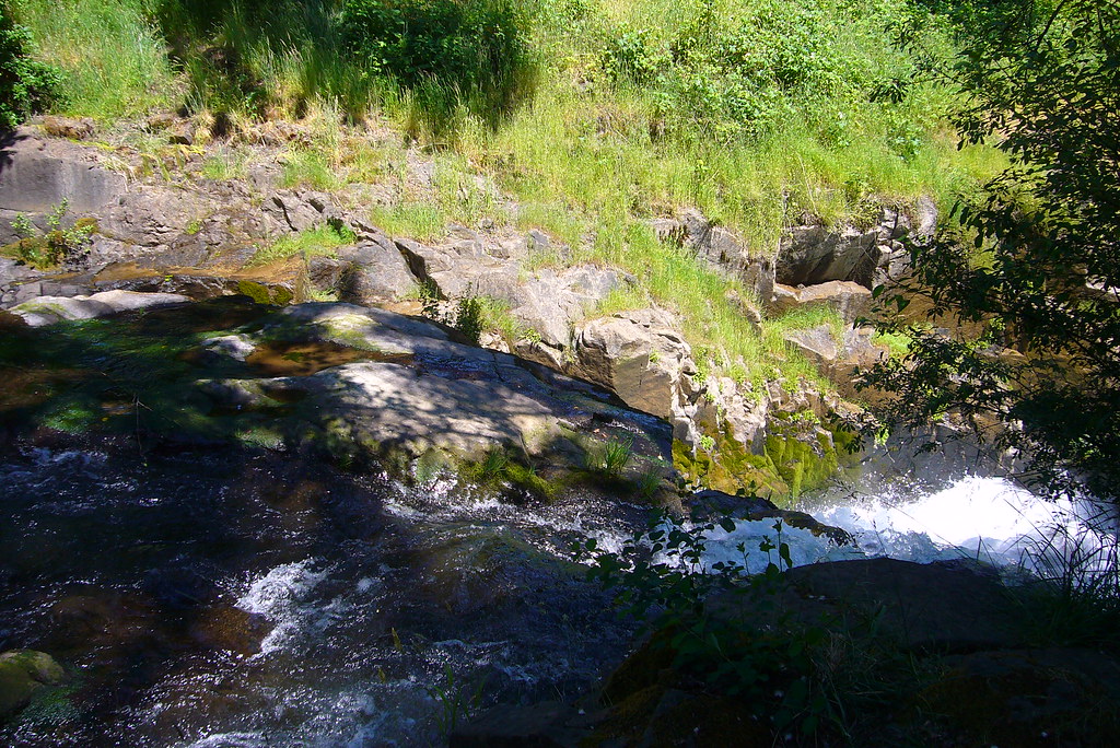
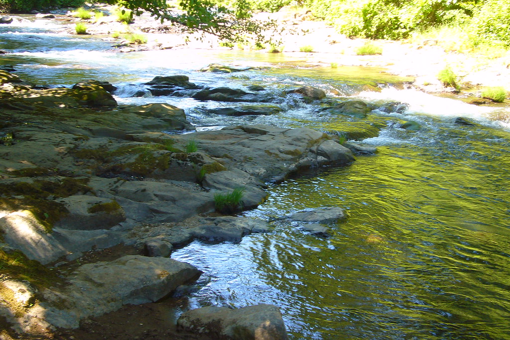
ritner creek
Independence, OR
Independence, OR
#oregon #hiking #river #scenery #blm #valley_of_giants #VOG #philpottcarl

Middle of the Night
mid valley sunset 0801.jpg
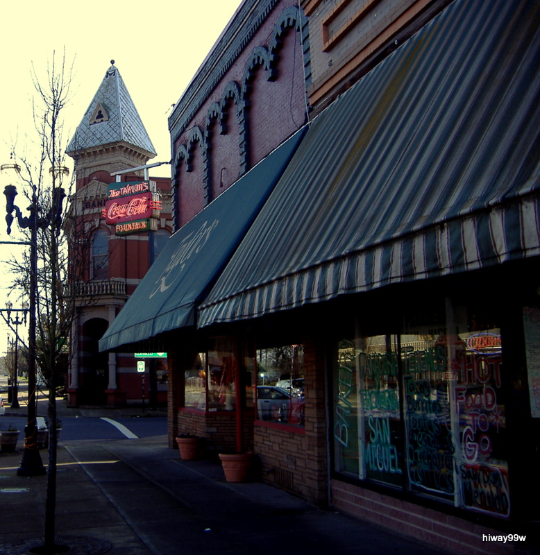
City Center in Independence, Oregon
15april2016-0793.jpg
ritner creek...

Independence Day.jpg
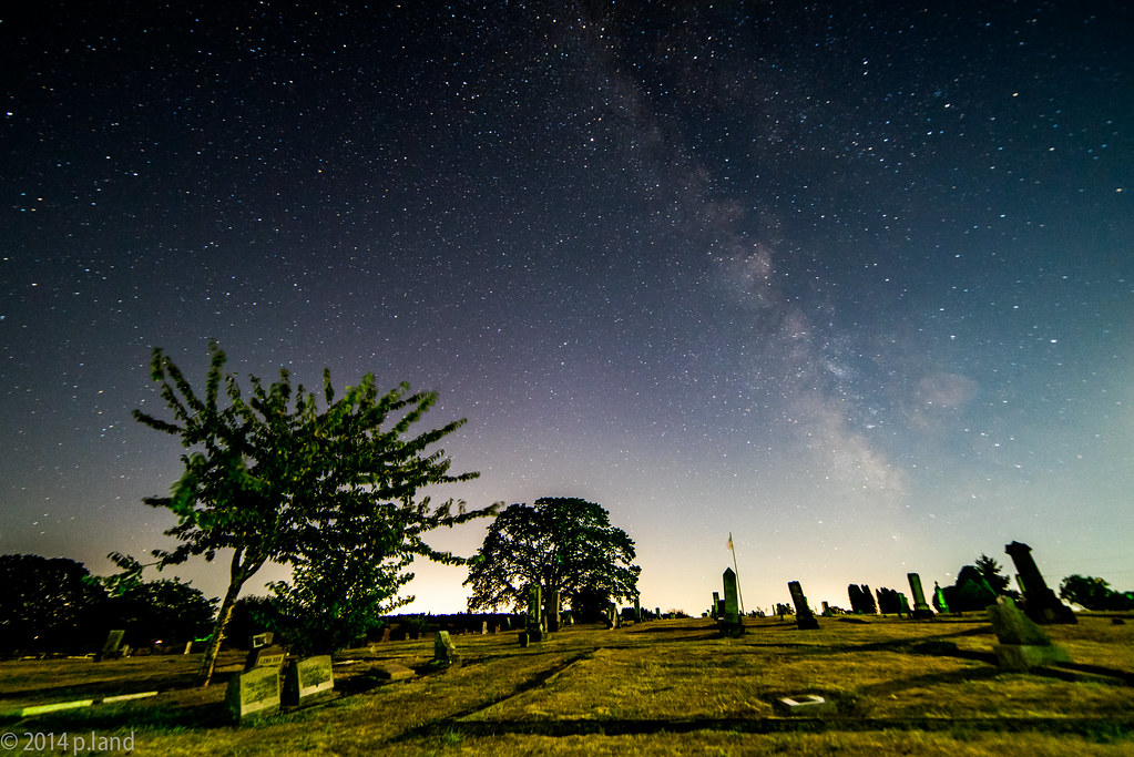
Milky Way over cemetery

Yellow Canoe

Old Barn in a Field
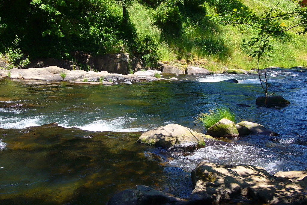
Fall Creek
Fall Creek
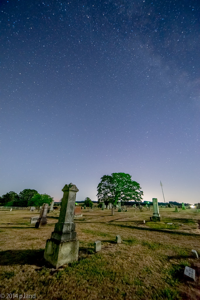
Graveyard by moonlight

Rainbow over the GNAC XC Championships
IMG_9666.JPG

Wave Action
Valley off Barnhart.
Fall Creek
Black Rock 8-7-10
Topographic Map of Airlie Rd, Monmouth, OR, USA
Find elevation by address:

Places near Airlie Rd, Monmouth, OR, USA:
15500 Strong Rd
Strong Road
15150 Airlie Rd
17880 Oakdale Rd
N Main St, Falls City, OR, USA
Falls City
Pedee
16905 Oakdale Rd
2208 Sw Elmwood Dr
2946 Se Lewis St
1571 Sw Brown St
1628 Sw Clay St
820 Sw Clay St
15550 Ellendale Rd
Dallas
Main St, Dallas, OR, USA
1668 Sw Filbert Ln
207 Nw Hillcrest Dr
614 Nw Hillcrest Dr
700 Reuben Boise Rd
Recent Searches:
- Elevation of Congressional Dr, Stevensville, MD, USA
- Elevation of Bellview Rd, McLean, VA, USA
- Elevation of Stage Island Rd, Chatham, MA, USA
- Elevation of Shibuya Scramble Crossing, 21 Udagawacho, Shibuya City, Tokyo -, Japan
- Elevation of Jadagoniai, Kaunas District Municipality, Lithuania
- Elevation of Pagonija rock, Kranto 7-oji g. 8"N, Kaunas, Lithuania
- Elevation of Co Rd 87, Jamestown, CO, USA
- Elevation of Tenjo, Cundinamarca, Colombia
- Elevation of Côte-des-Neiges, Montreal, QC H4A 3J6, Canada
- Elevation of Bobcat Dr, Helena, MT, USA